© Unbekannt - Sooo gut schmeckt die Bucklige Welt/Viktoria Kornfeld
- Lyhyt kuvaus
-
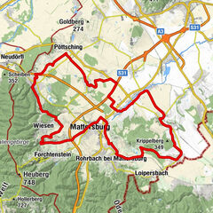
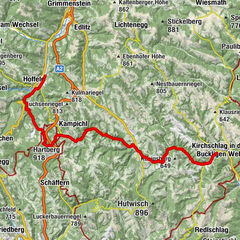
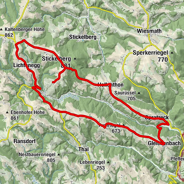
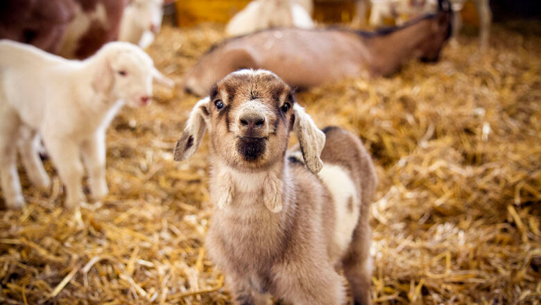
Route von Hollenthon über das Windrad zum Ziegenhof und retour.
- Reitti
-
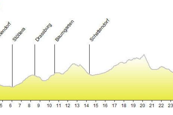
HollenthonMaria HimmelfahrtKreuzbrunnen0,0 kmPosch0,1 kmSpratzeck3,2 kmGleichenbach6,2 kmUntereck6,9 kmKapelle7,5 kmMittereck7,6 kmFronriegel (673 m)8,8 kmObereck10,0 kmDorfkapelle Kühbach11,9 kmKühbach12,1 kmFeichten12,8 kmFriedhofkapelle16,9 kmLichtenegg17,1 kmPfarrkirche Lichtenegg17,1 kmWieden17,6 kmTafern19,1 kmPesendorf20,3 kmRotes Kreuz25,1 kmHollenthon27,5 kmMaria Himmelfahrt27,5 kmKreuzbrunnen27,5 km
- Korkein kohta
- 819 m
- Kohde
-
Hollenthon Gemeindeplatz
- Korkeusprofiili
-

- Kirjoittaja
-
Kiertue E-Bike-Strecke: Hollenthon - Mandl´s Ziegenhof käyttää outdooractive.com toimitettu.
GPS Downloads


Yleistä tietoa
Virvokepysäkki
Lupaava
Lisää retkiä alueilla
-
Wiener Alpen
224
-
Bucklige Welt - Wiener Alpen
119
-
Hollenthon
43