© Wiener Alpen in Niederösterreich - Martin Fülöp
- Lyhyt kuvaus
-
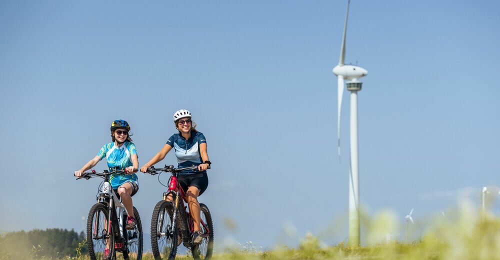
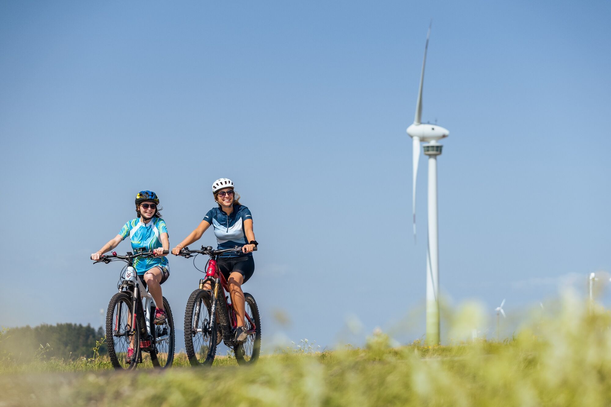
E-bike route through Lichtenegg and Hollenthon. The windmill (“Windrad”) with viewing platform in Lichtenegg is the highlight of the round.
- Vaikeus
-
helppo
- Arviointi
-
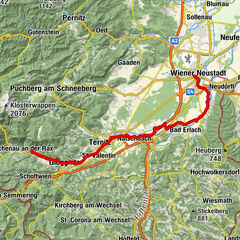
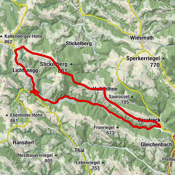
- Reitti
-
LichteneggPfarrkirche LichteneggWieden0,4 kmTafern1,9 kmPesendorf3,1 kmRotes Kreuz5,5 kmHollenthon7,8 kmMaria Himmelfahrt8,0 kmKreuzbrunnen8,1 kmPosch8,1 kmSpratzeck11,3 kmSpratzau17,0 kmSpratzau17,4 kmFriedhofkapelle23,0 kmLichtenegg23,1 kmPfarrkirche Lichtenegg23,1 km
- Paras kausi
-
tammihelmimaalishuhtitoukokesäheinäelosyyslokamarrasjoulu
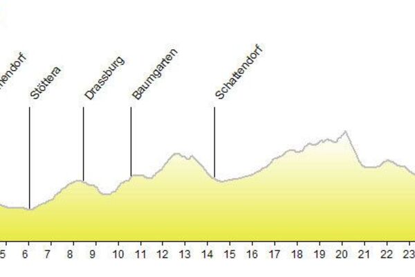
- Korkein kohta
- 815 m
- Kohde
-
Lichtenegg
- Korkeusprofiili
-

- Kirjoittaja
-
Kiertue Wind turbine route käyttää outdooractive.com toimitettu.
GPS Downloads


Yleistä tietoa
Virvokepysäkki
Lupaava
Lisää retkiä alueilla
-
Wiener Alpen
225
-
Bucklige Welt - Wiener Alpen
119
-
Hollenthon
43