


© Helmut Mucker, outdooractive.com
Retkitiedot
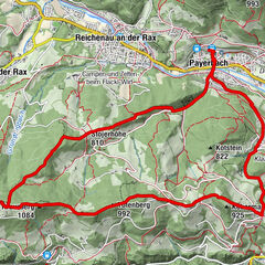
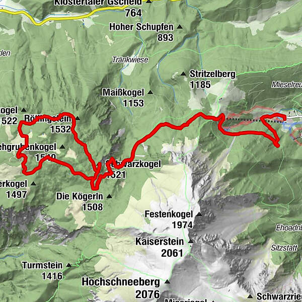
15,22km
870
- 1.538m
400hm
900hm
07:00h
- Lyhyt kuvaus
-
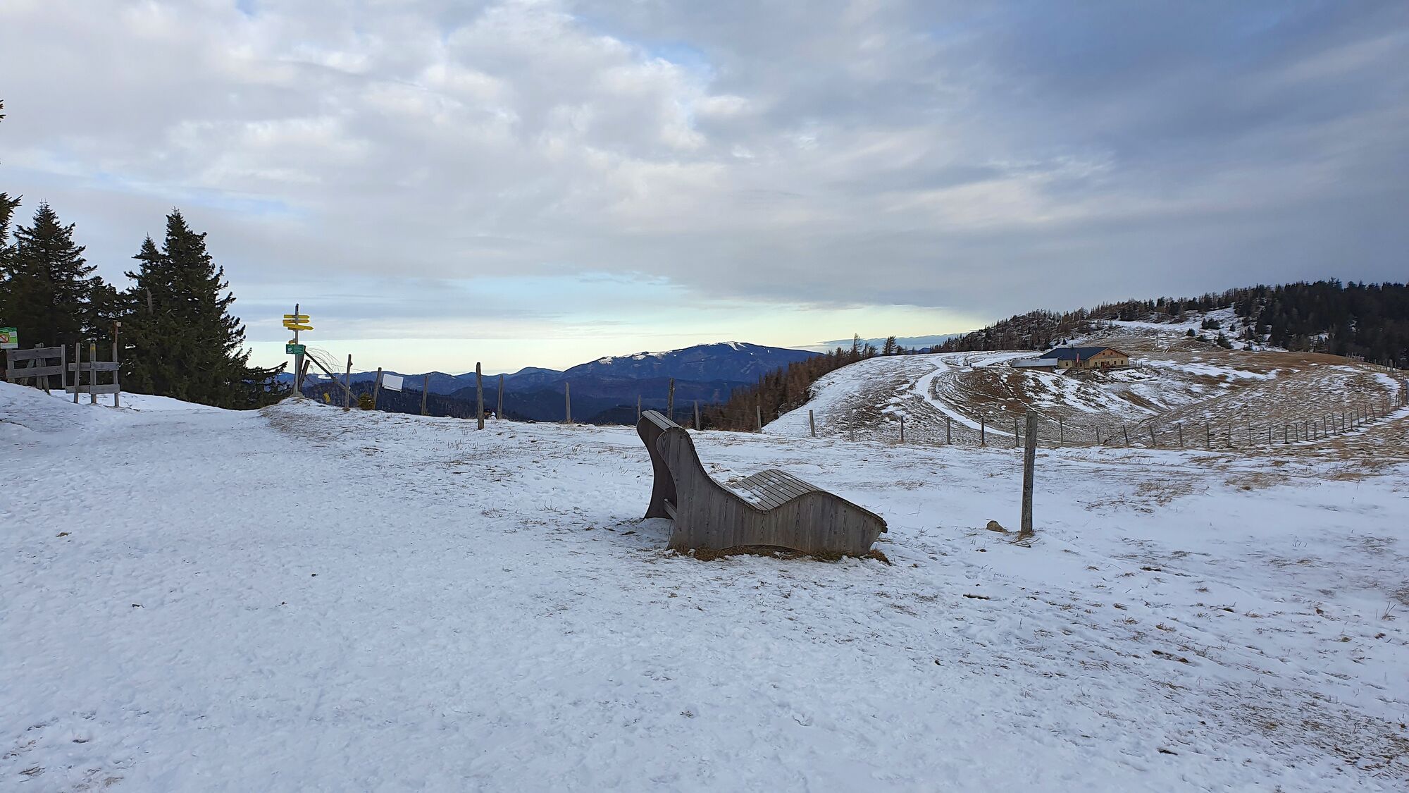
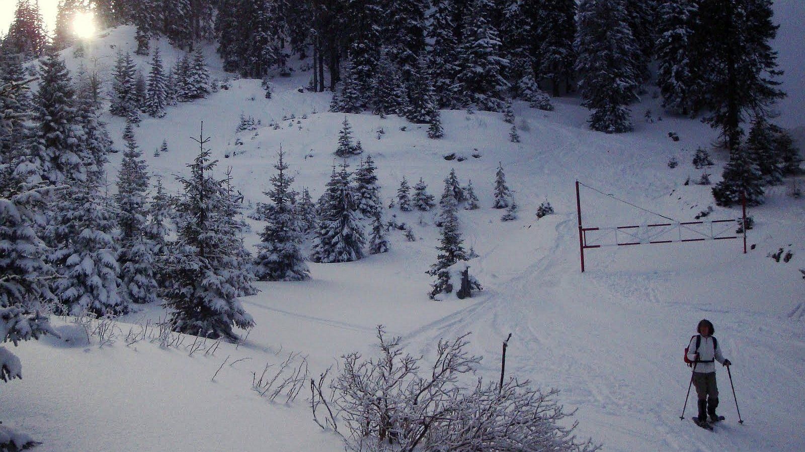
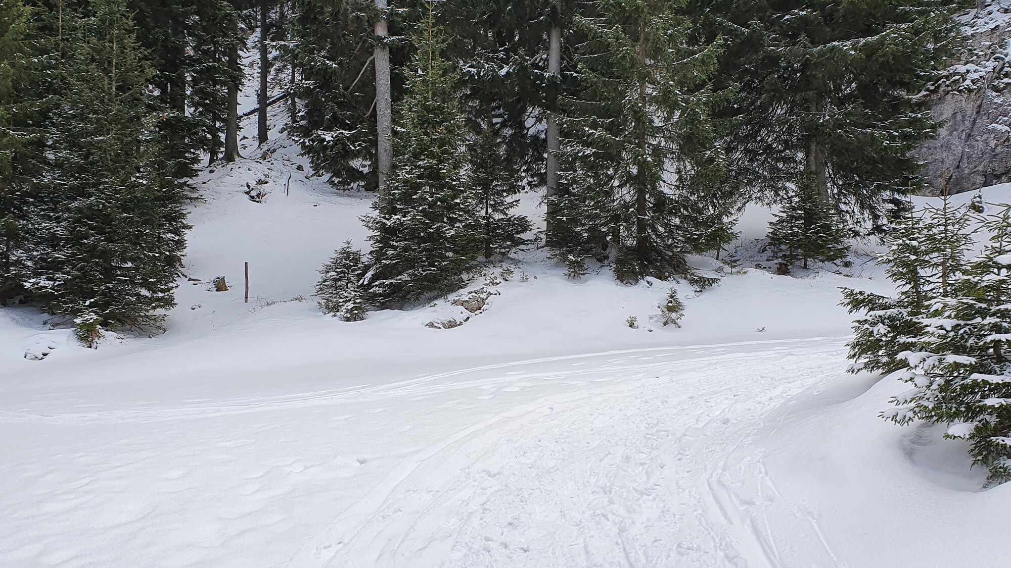
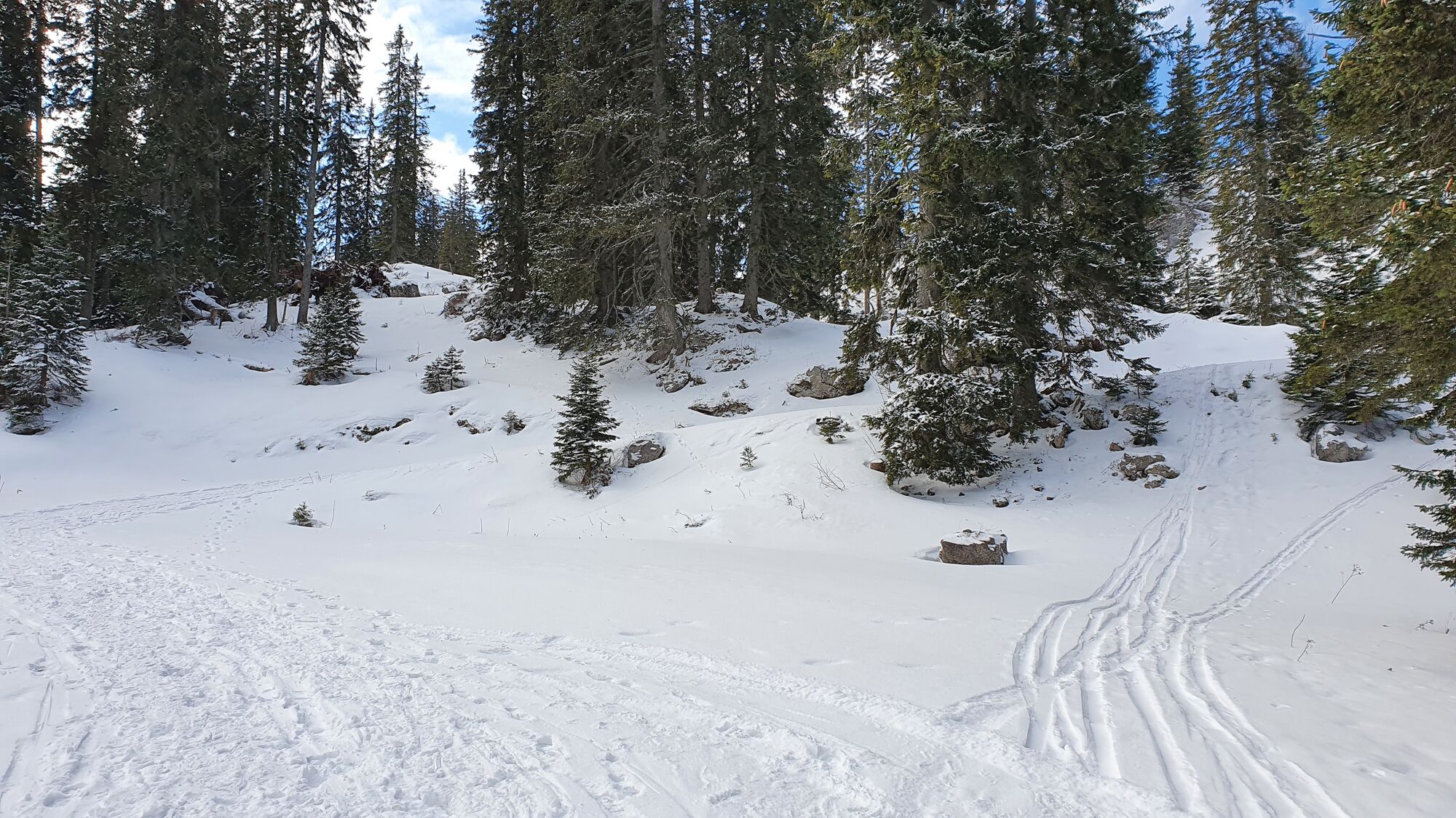
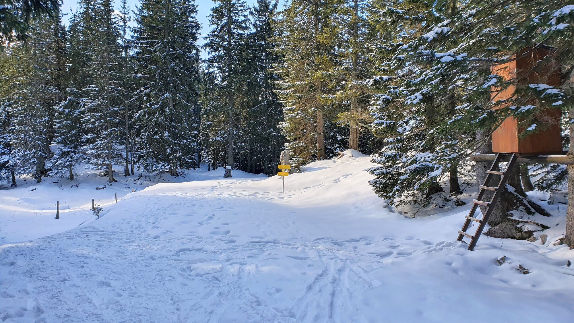
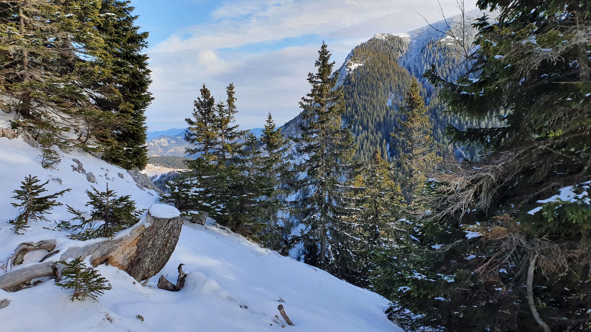
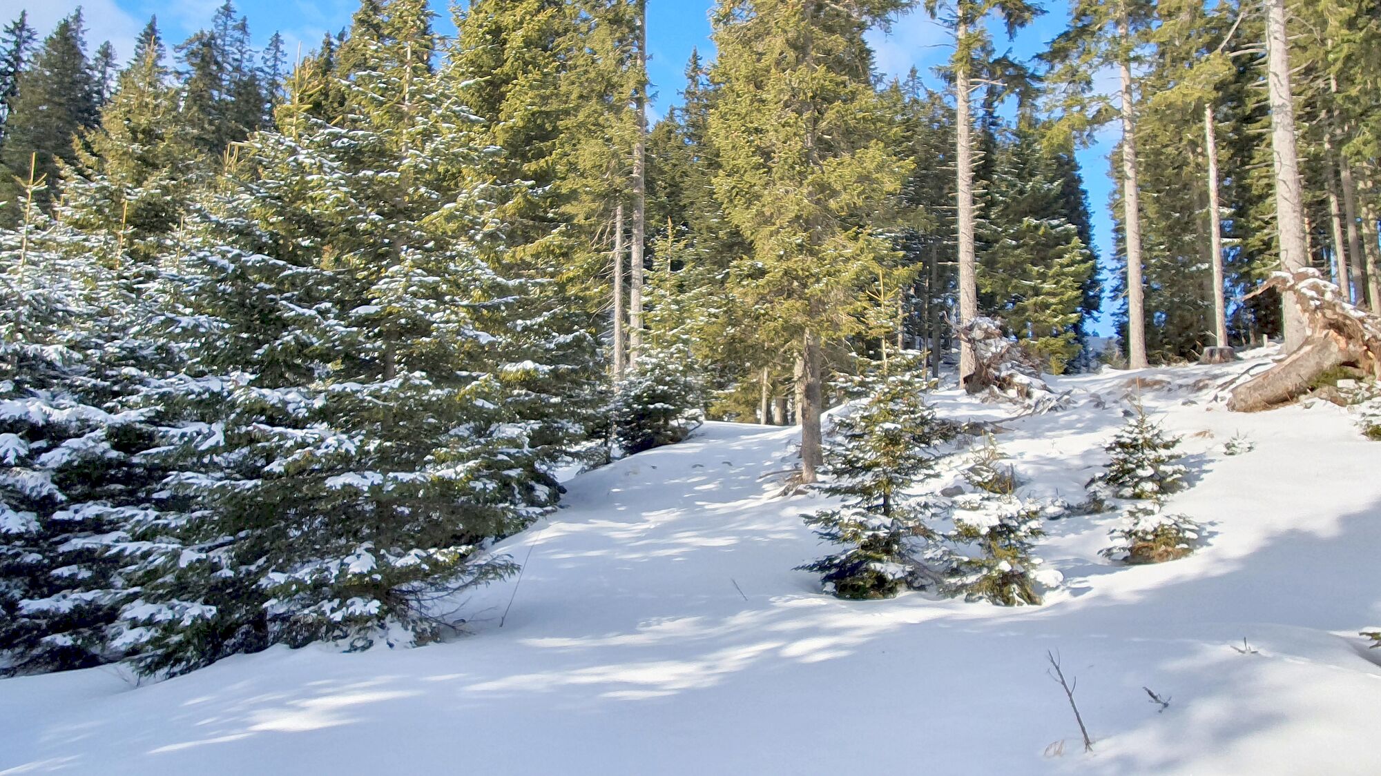
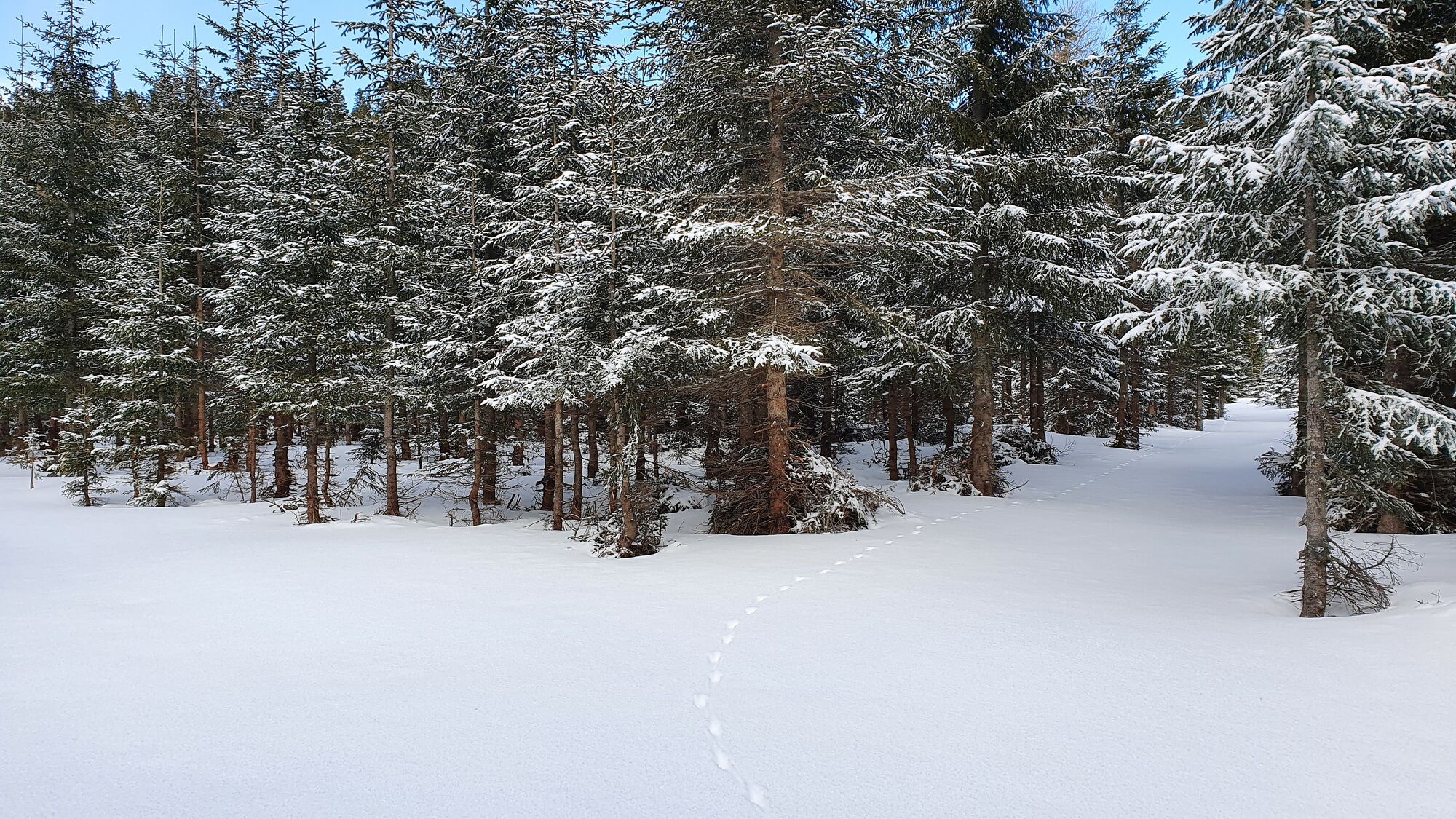
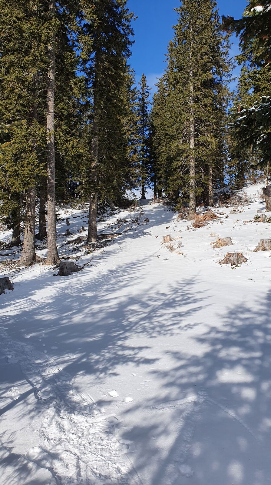
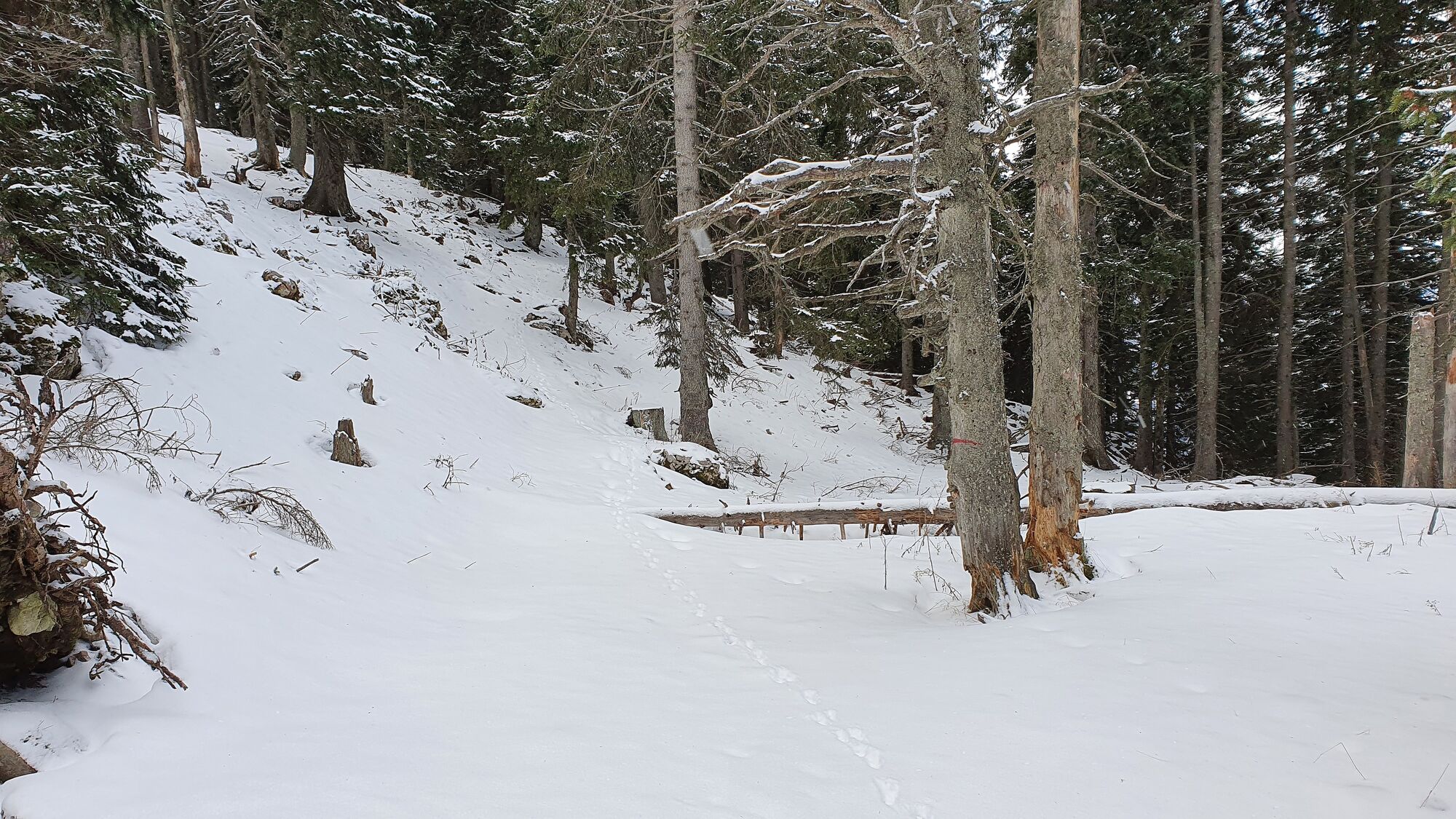
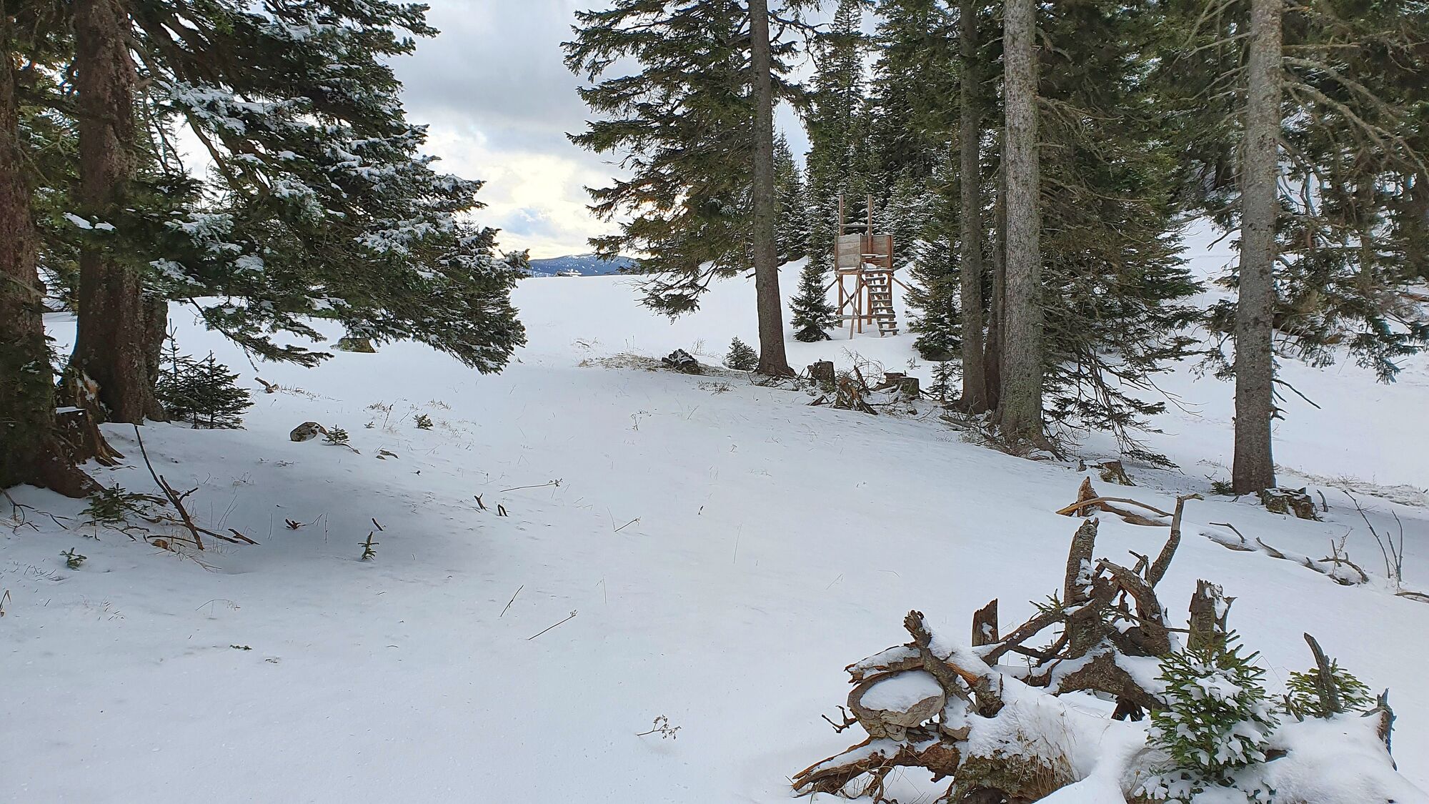
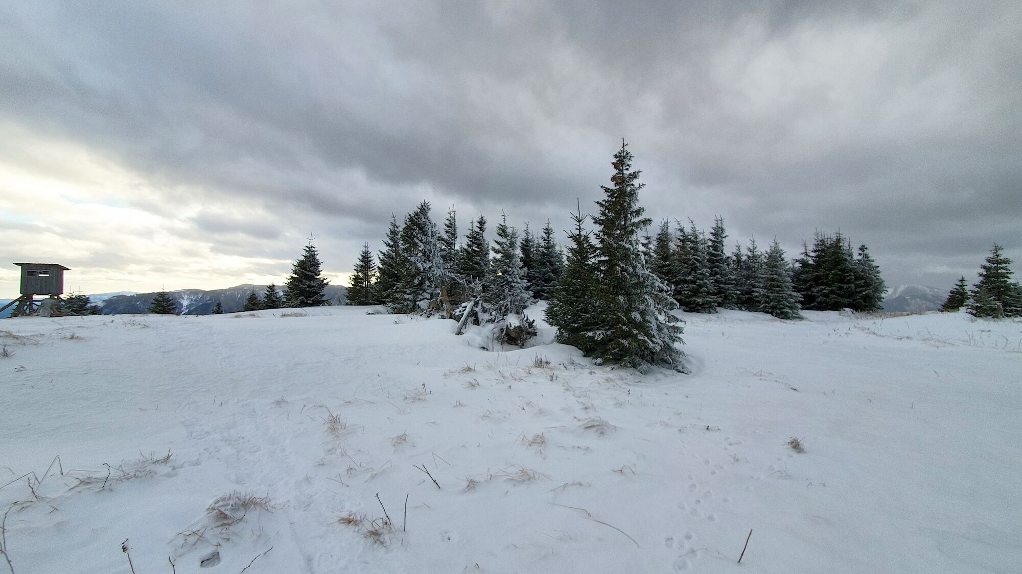
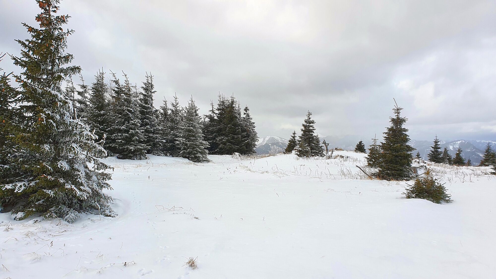
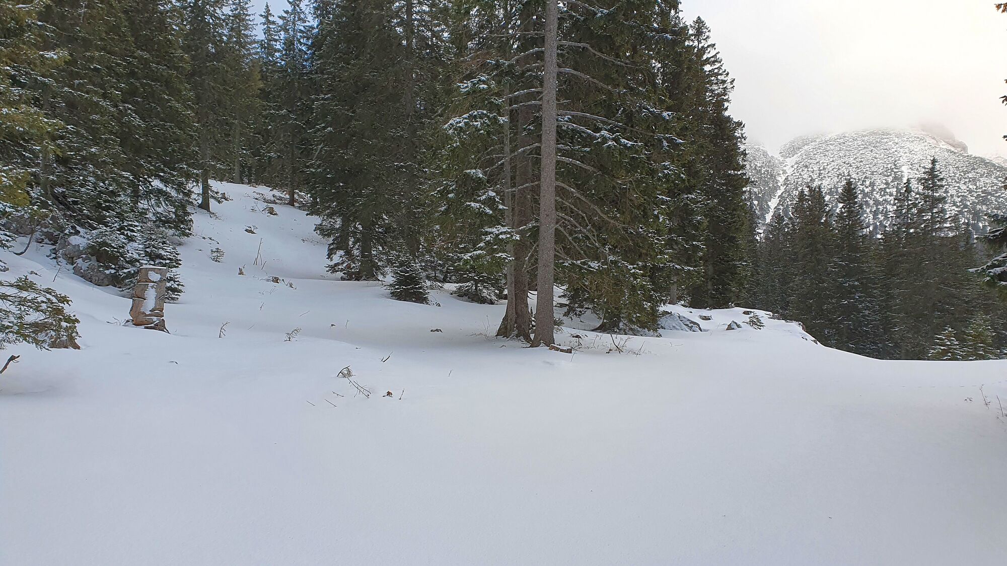
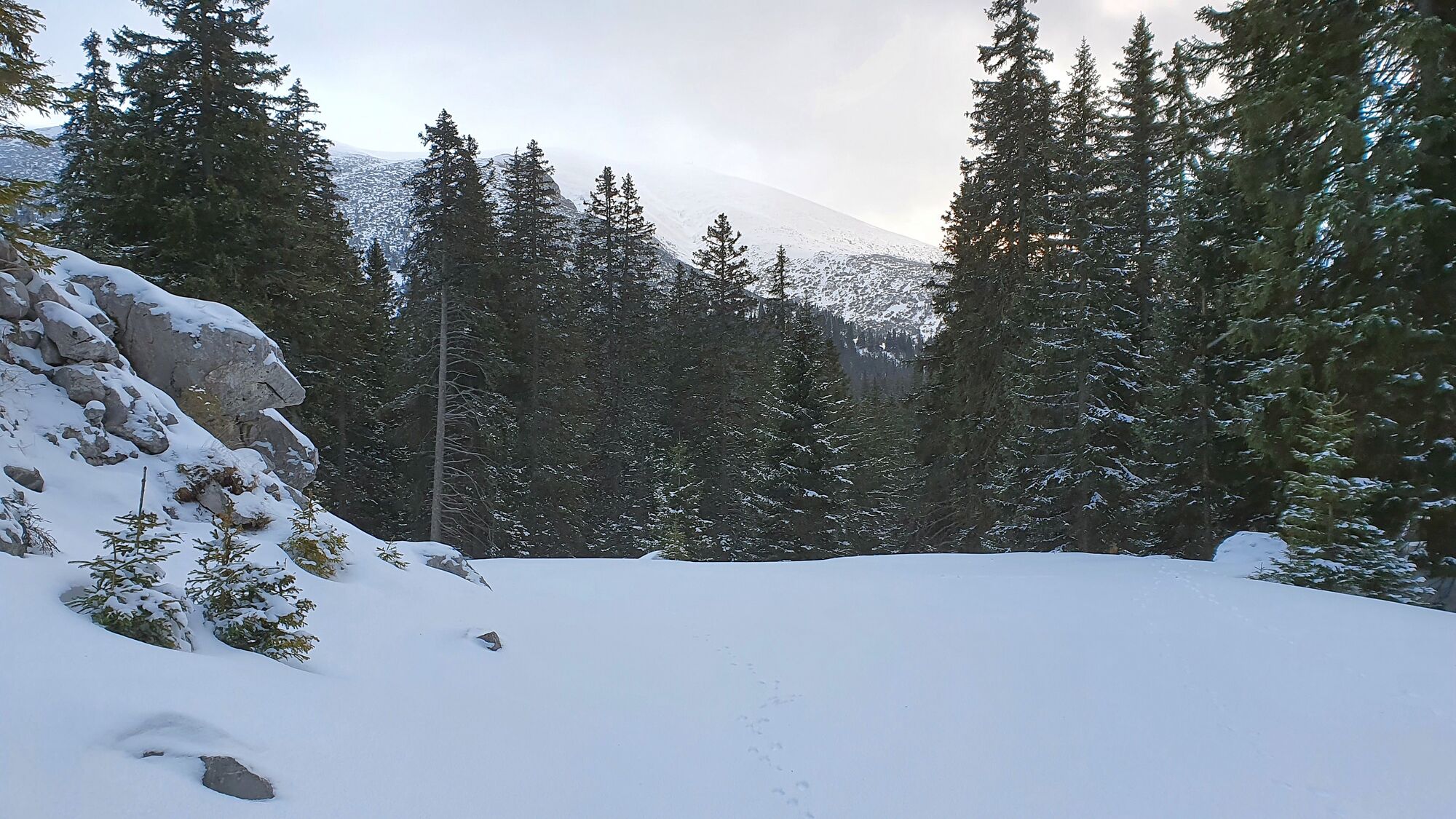
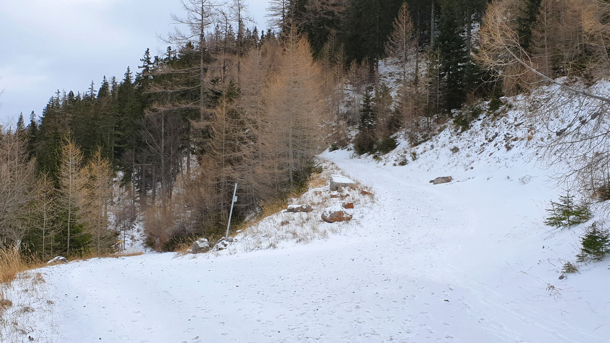
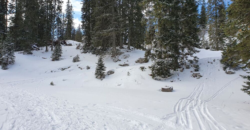
Navigatorisch schwierige Tour durch die hügelige und stark bewaldete, aber kaum begangene Landschaft des Kuhschneebergs
- Vaikeus
-
vaikea
- Arviointi
-
- Lähtöpiste
-
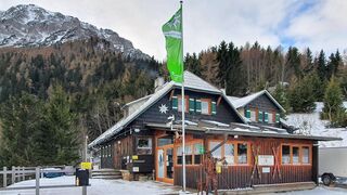
Talstation
- Reitti
-
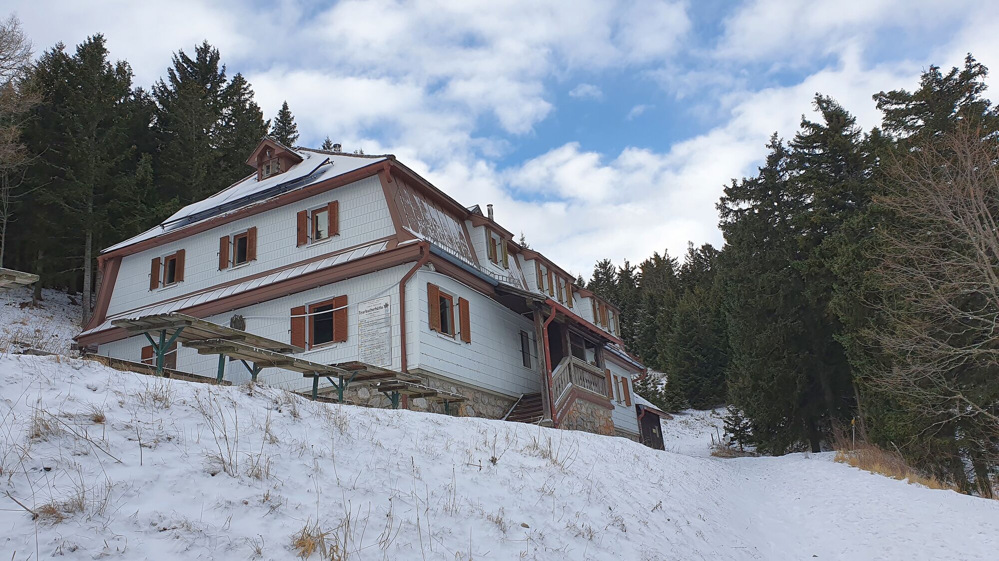
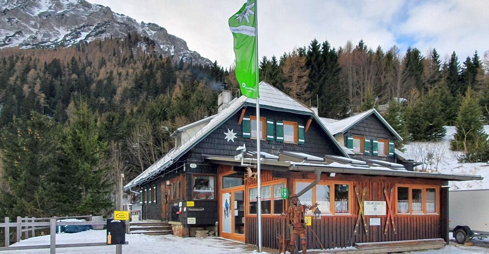
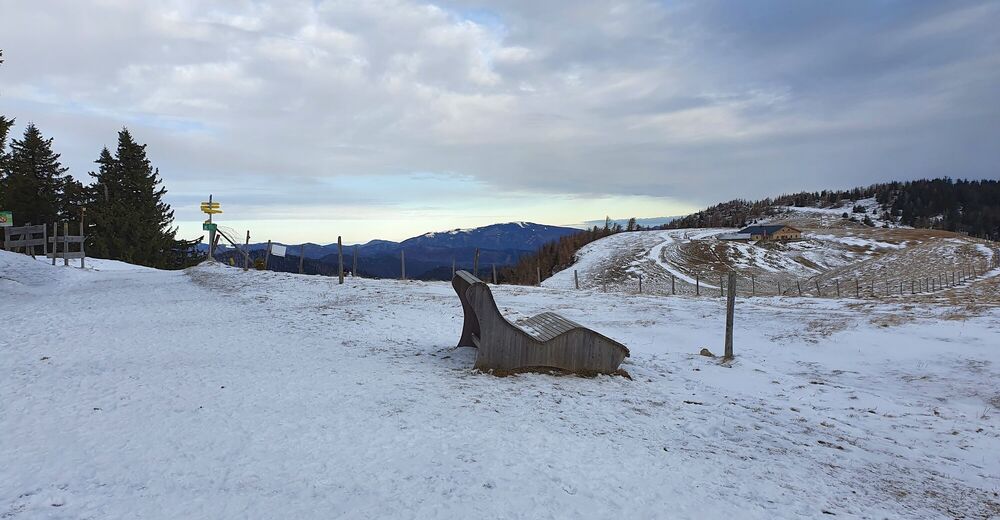
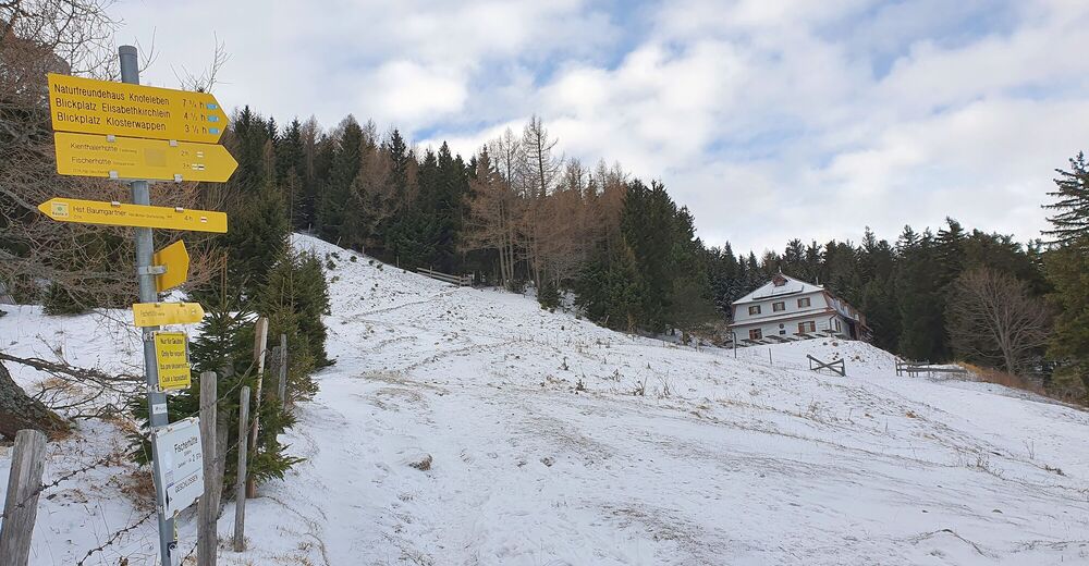
Edelweißhütte0,1 kmAlmgatterl2,6 kmWindloch IV2,9 kmWindloch I2,9 kmWindloch III3,7 kmSchwarzkogel (1.521 m)3,9 kmWindloch II4,1 kmBöhmschlag5,0 kmSaukogel (1.545 m)6,5 kmSauboden6,5 kmWindloch III9,6 kmWindloch II9,6 kmWindloch I9,7 kmWindloch IV9,7 kmAlmgatterl10,0 kmEdelweißhütte12,5 kmSchneebergleiten13,8 kmLahning-Inn15,1 kmPuchis Welt15,2 km
- Paras kausi
-
elosyyslokamarrasjoulutammihelmimaalishuhtitoukokesäheinä
- Korkein kohta
- Schwarzkogel (1.538 m)
- Kohde
-
Runde um den Kuhschneeberg
- Lepo/Retriitti
-
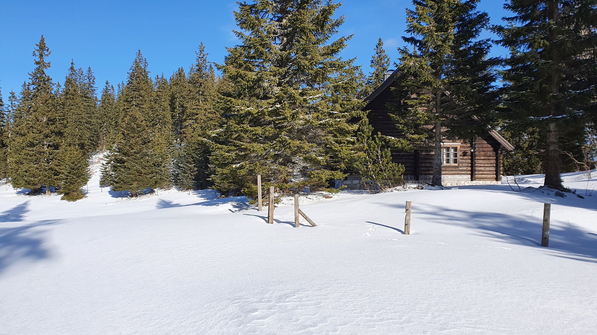
Edelweisshütte
- Kirjallisuus
-
Schneeschuhwandern, Die schönsten Touren in den Wiener Hausbergen, Csaba Szépfalusi, KRAL-Verlang, Tour 30 Kuhschneeberg
- Videos
-
 05:182 years ago