© hel
© hel
© hel
© hel
© hel

© hel
© hel
© hel
© hel
© hel
Retkitiedot
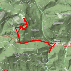
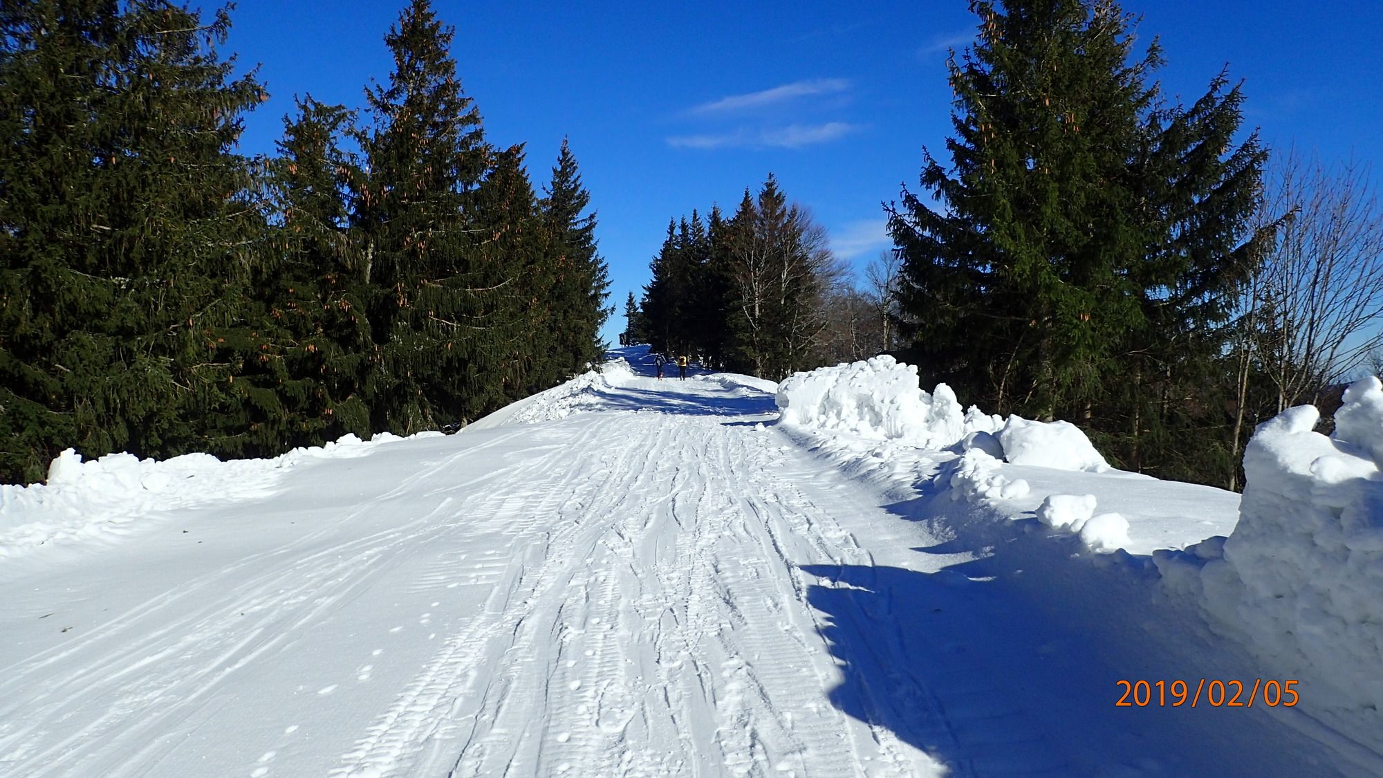
10,7km
1.078
- 1.335m
460hm
460hm
03:45h
- Lyhyt kuvaus
-
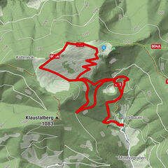
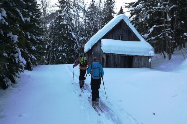
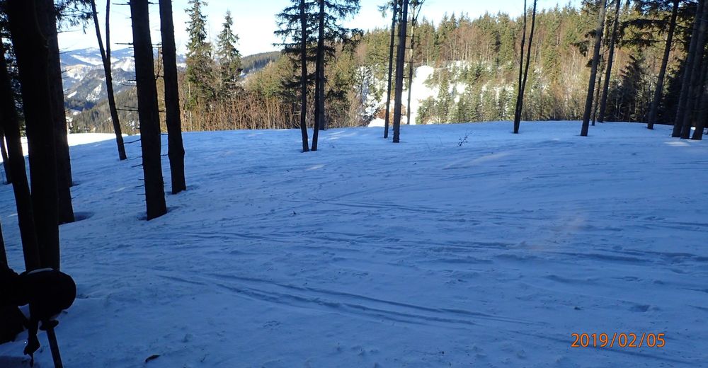
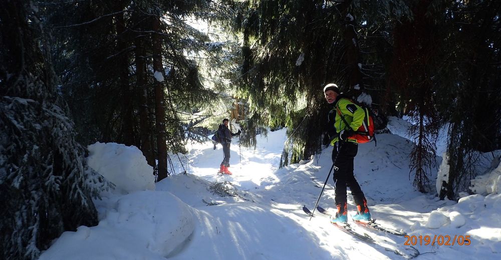
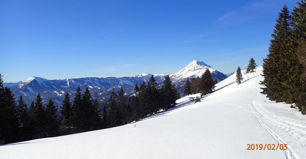
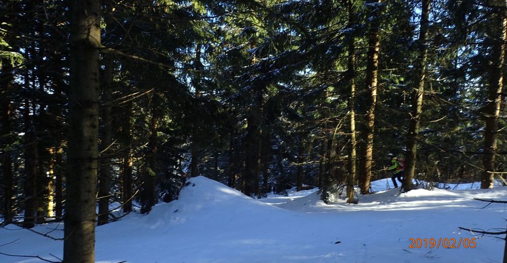
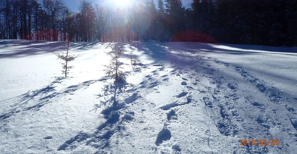
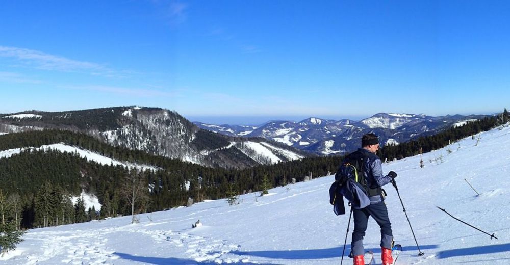
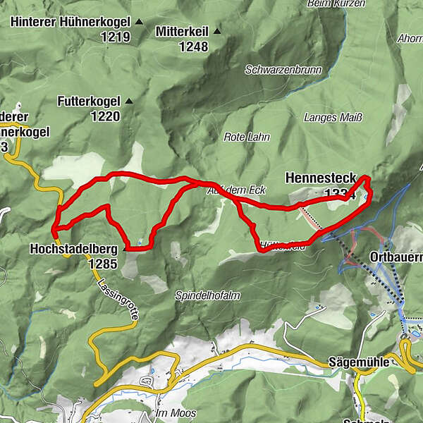
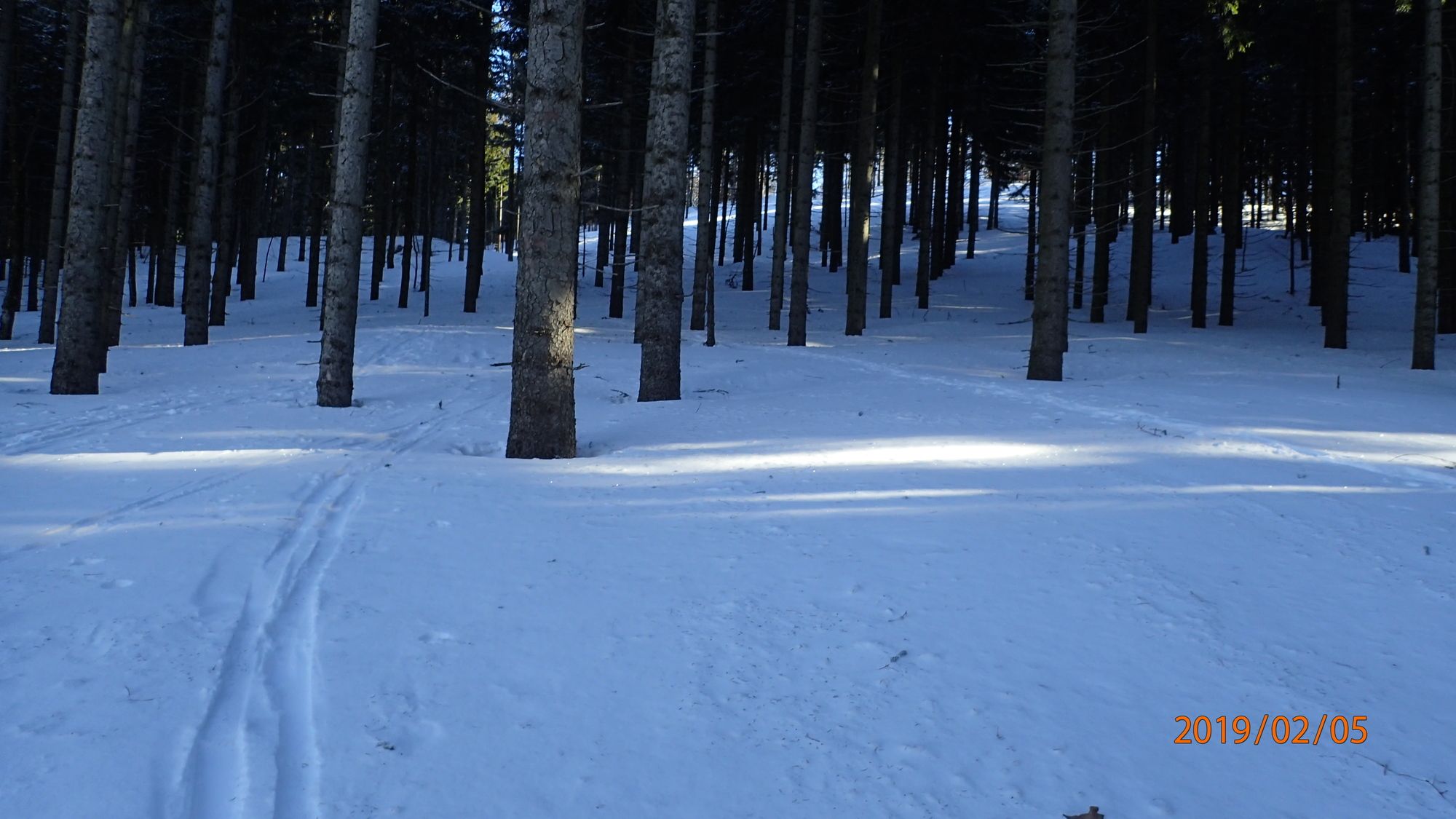
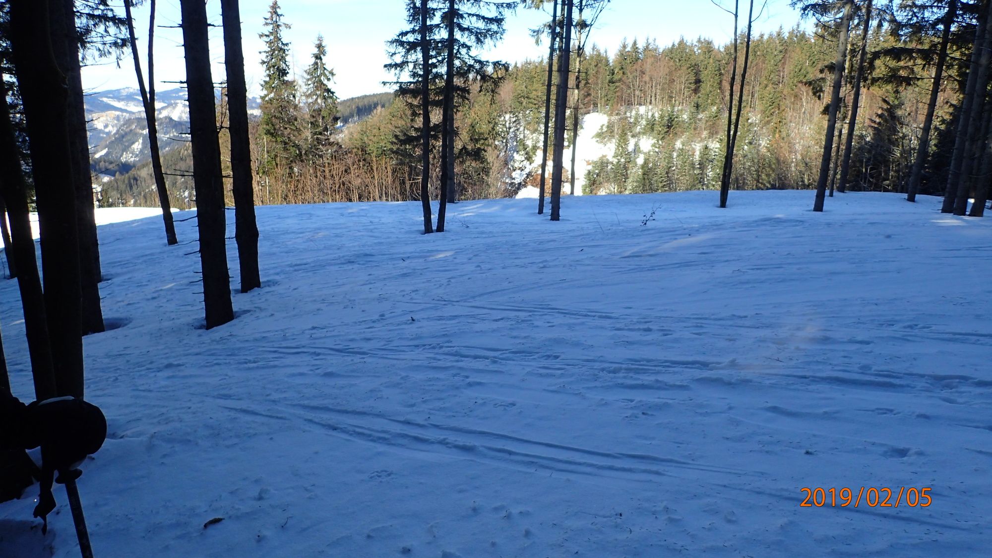
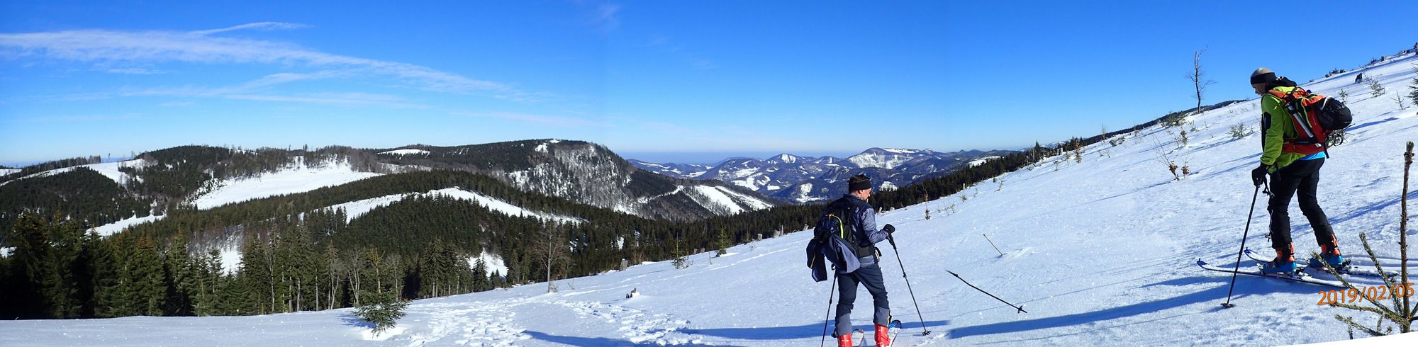
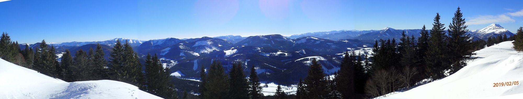
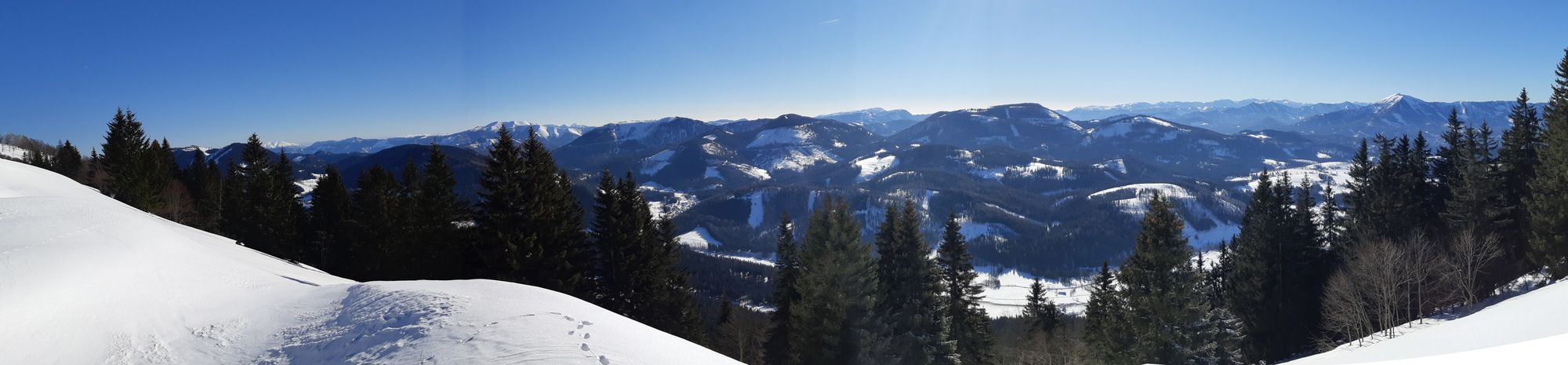
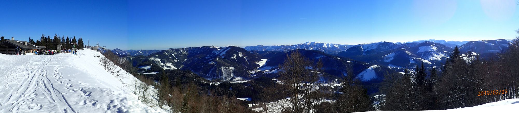
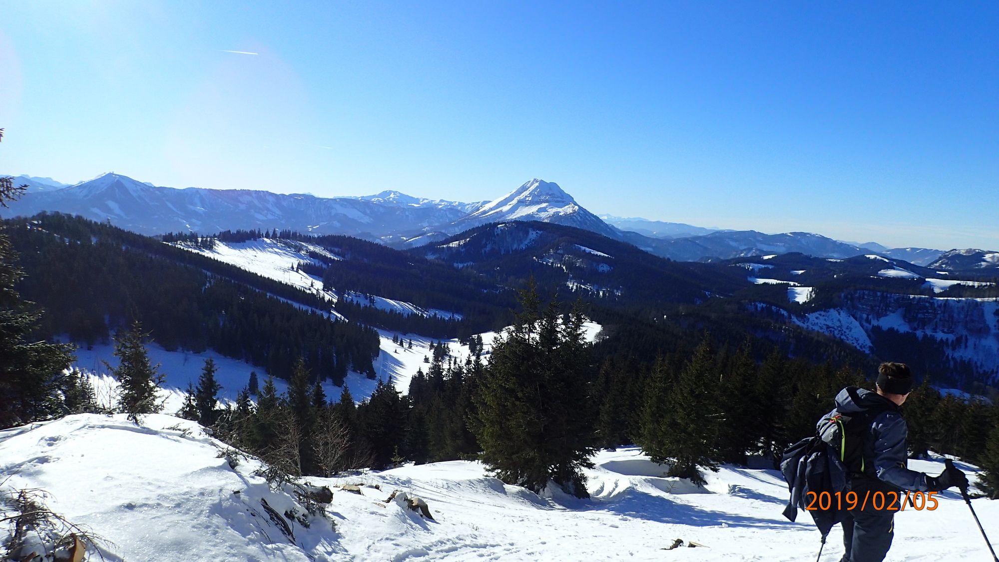
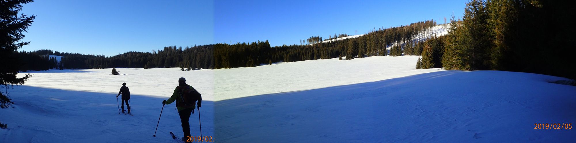
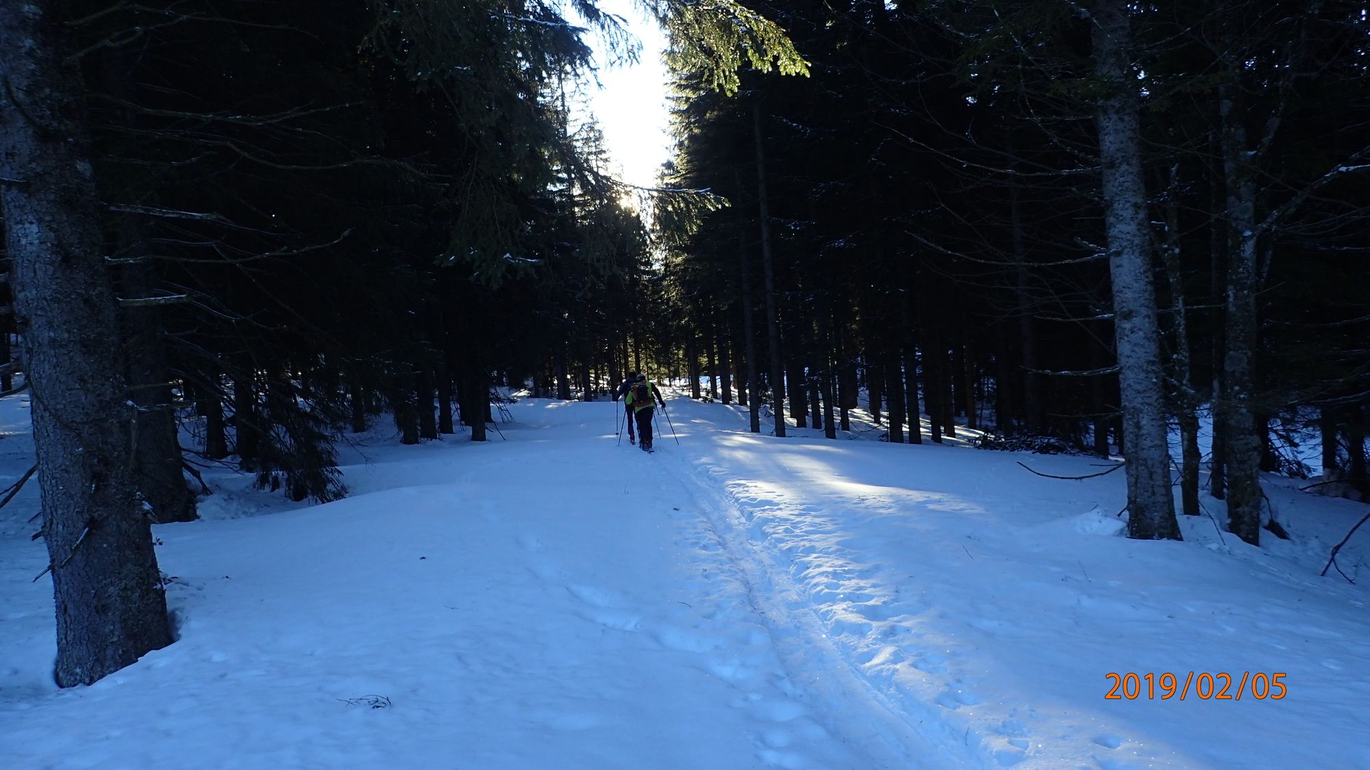
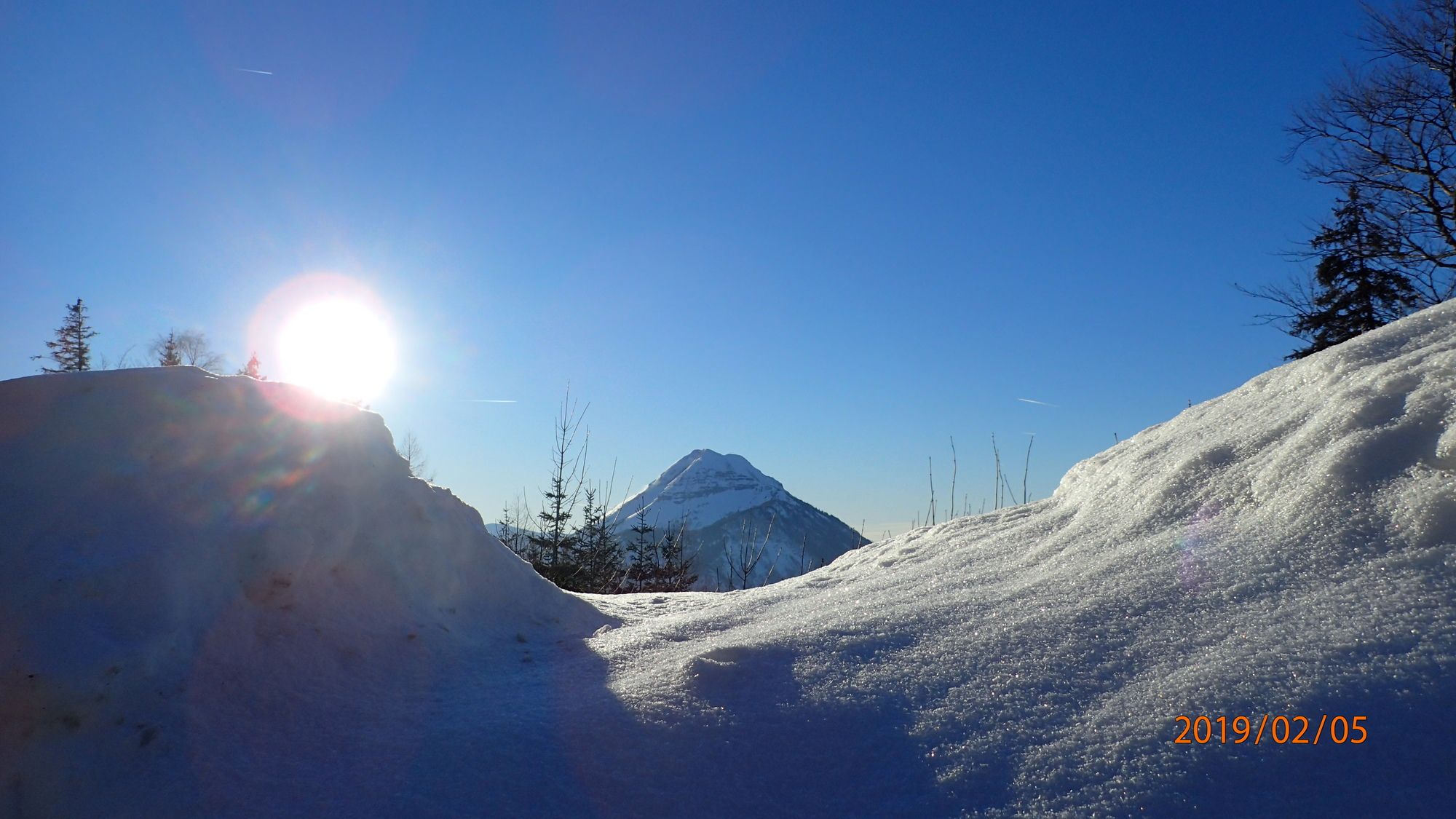
Einfache Schitour auf den Hochstadelberg und Hennesteck
- Vaikeus
-
tapa
- Arviointi
-
- Lähtöpiste
-
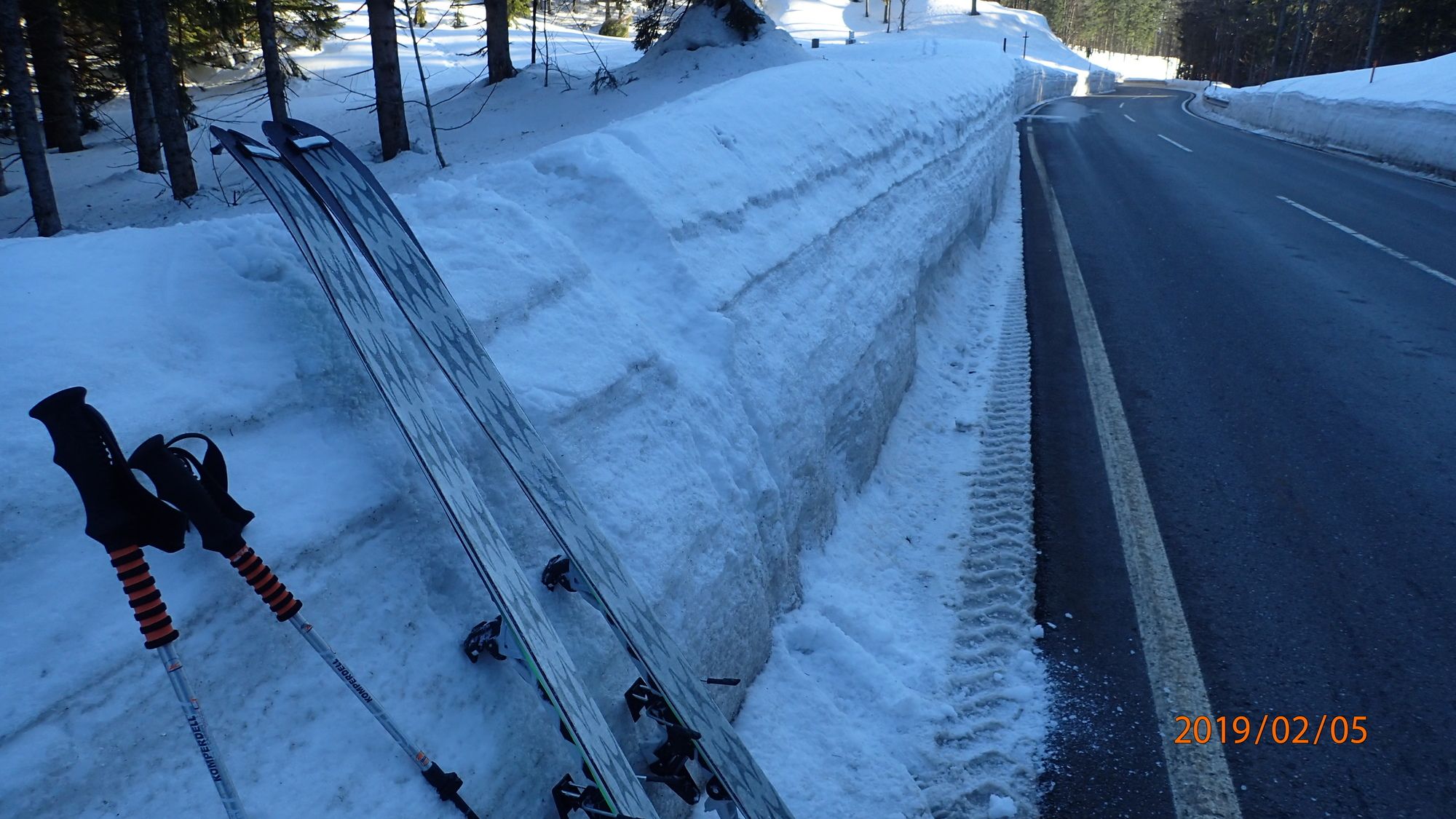
Parkplatz
- Reitti
-
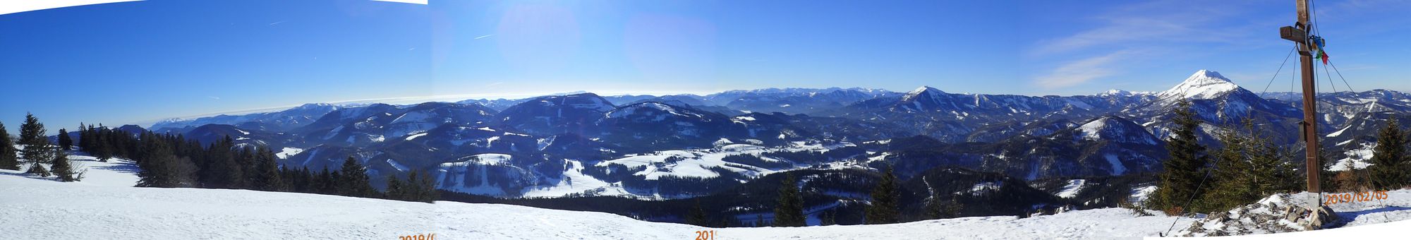
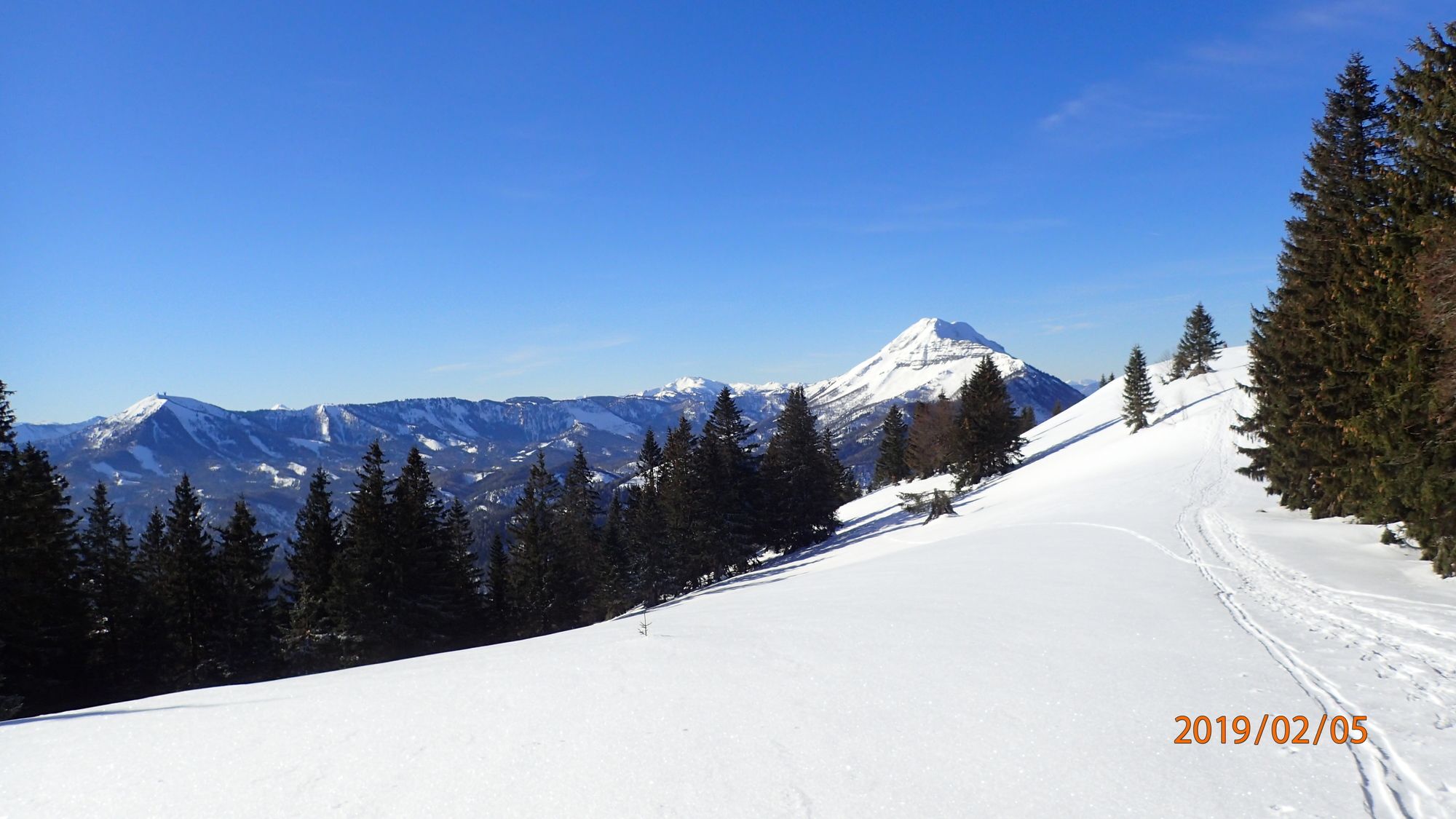
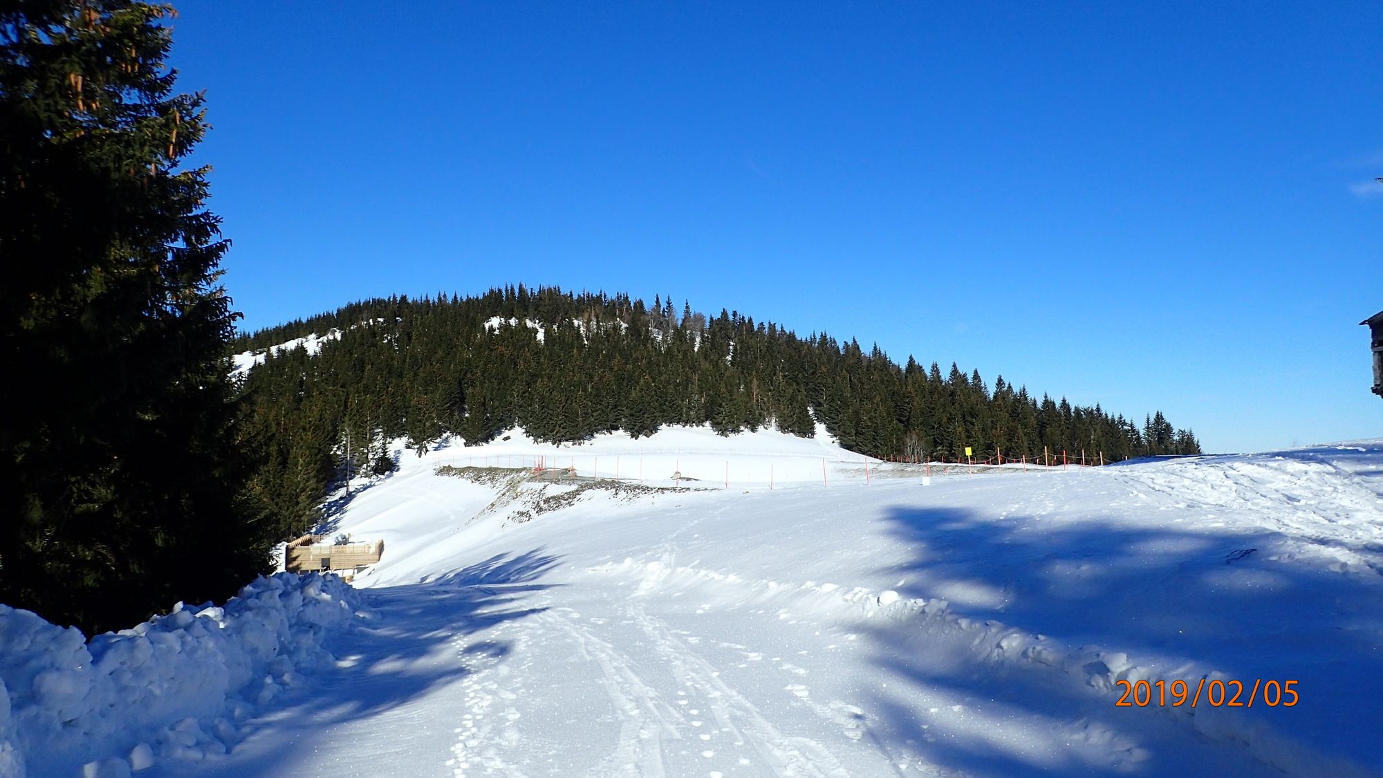
Hochstadelberg1,4 kmAnna-Alm4,8 kmAlmboden4,9 kmSesselbahn Hennesteck5,0 kmZipline Hennesteck5,0 kmHennesteck (1.334 m)6,0 km
- Paras kausi
-
elosyyslokamarrasjoulutammihelmimaalishuhtitoukokesäheinä
- Korkein kohta
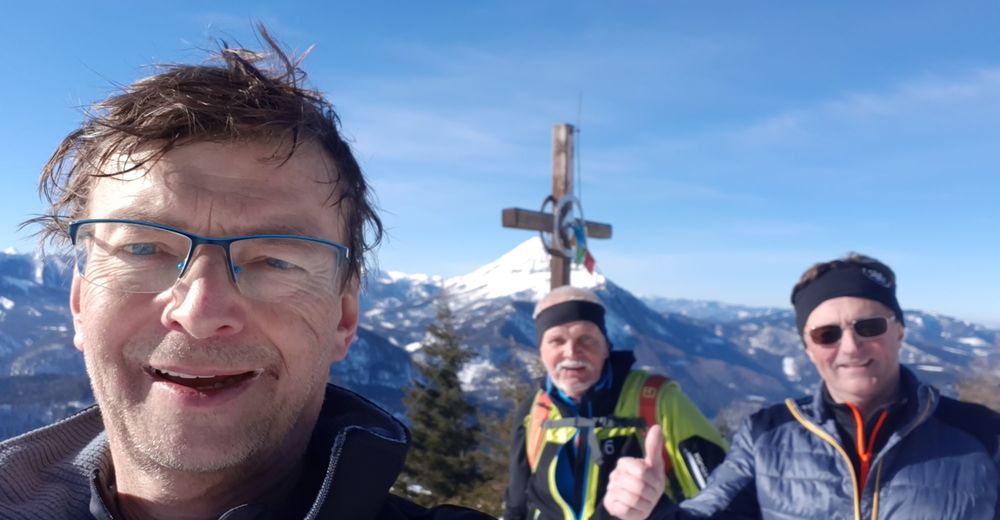
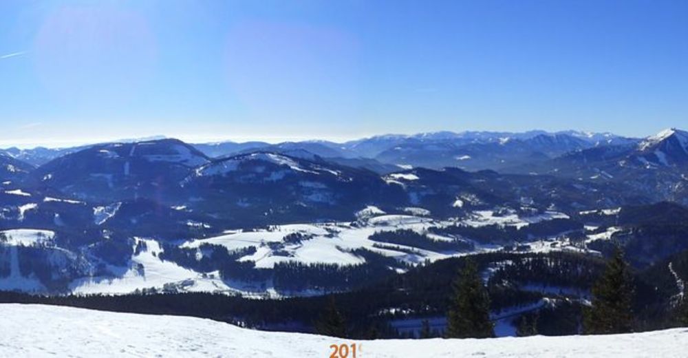
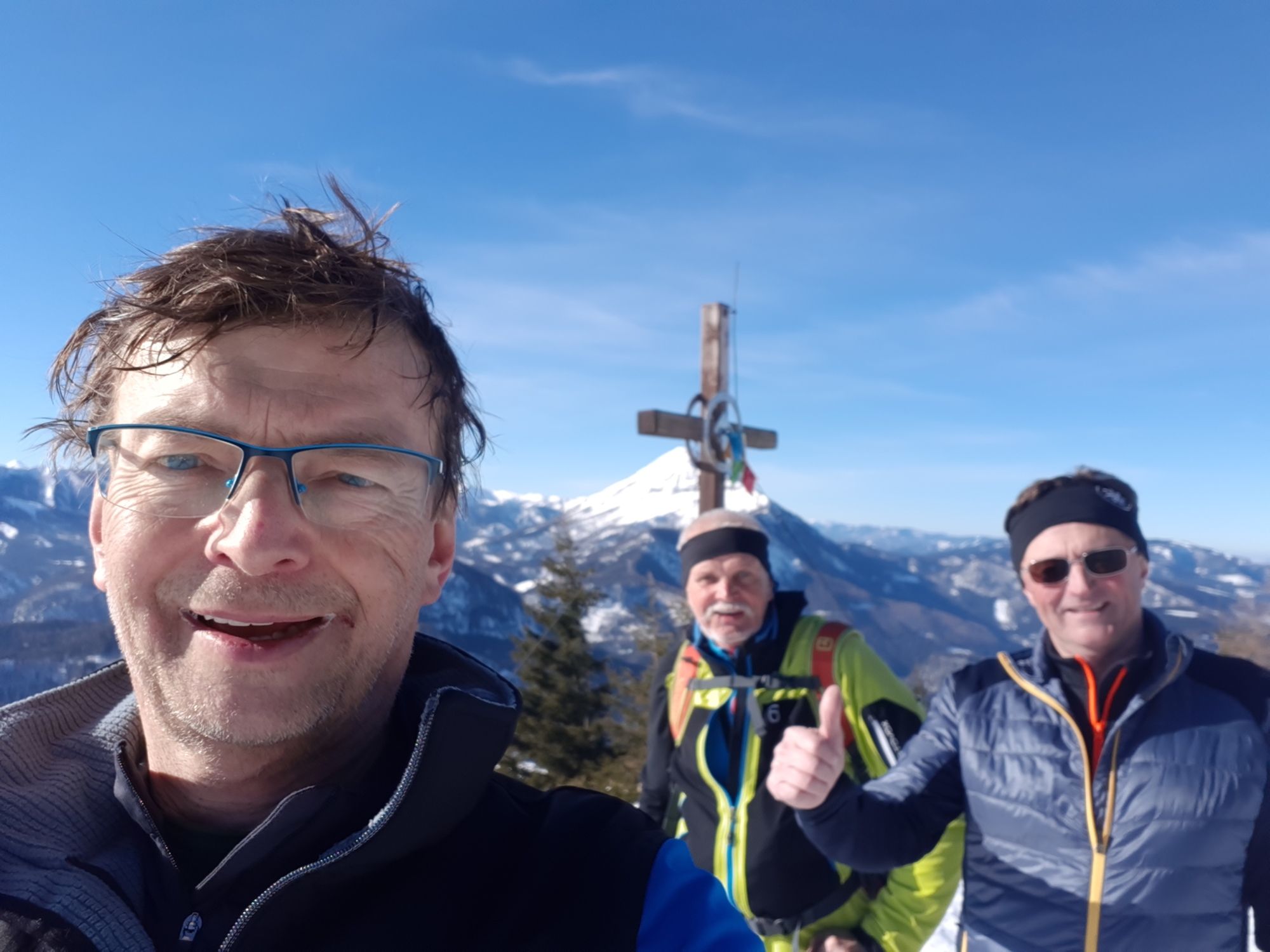
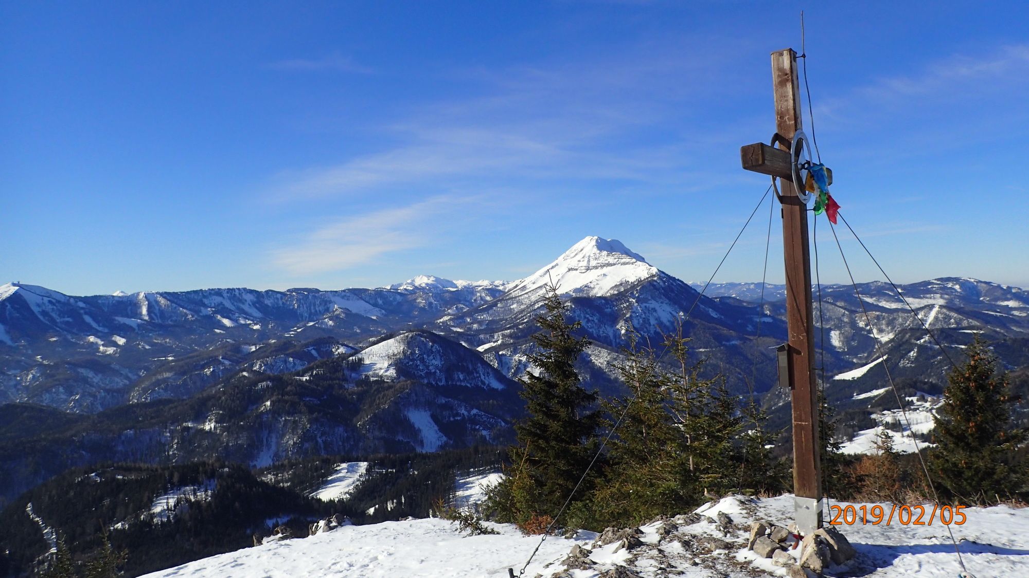
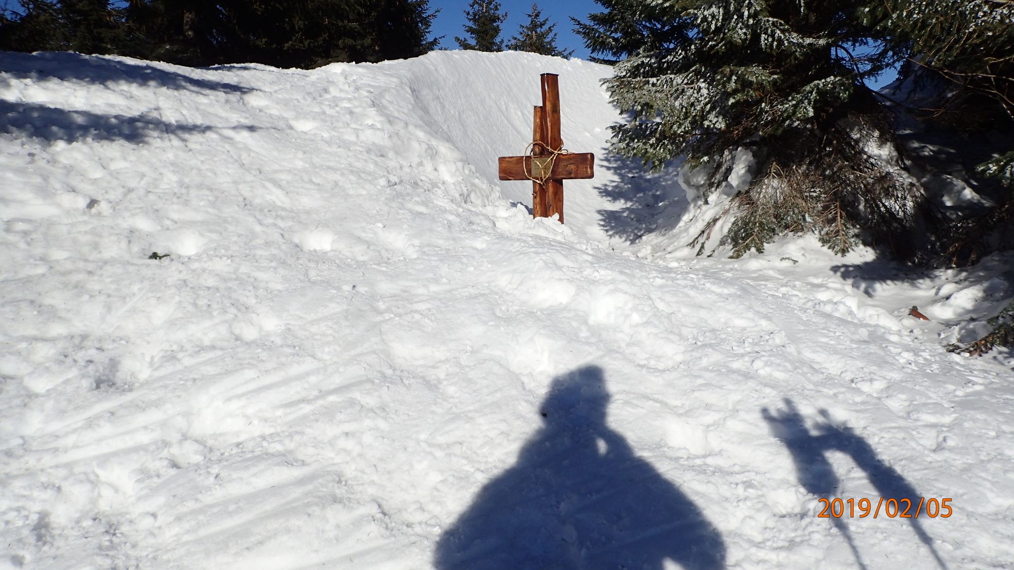
- Hennesteck (1.335 m)
- Kohde
-
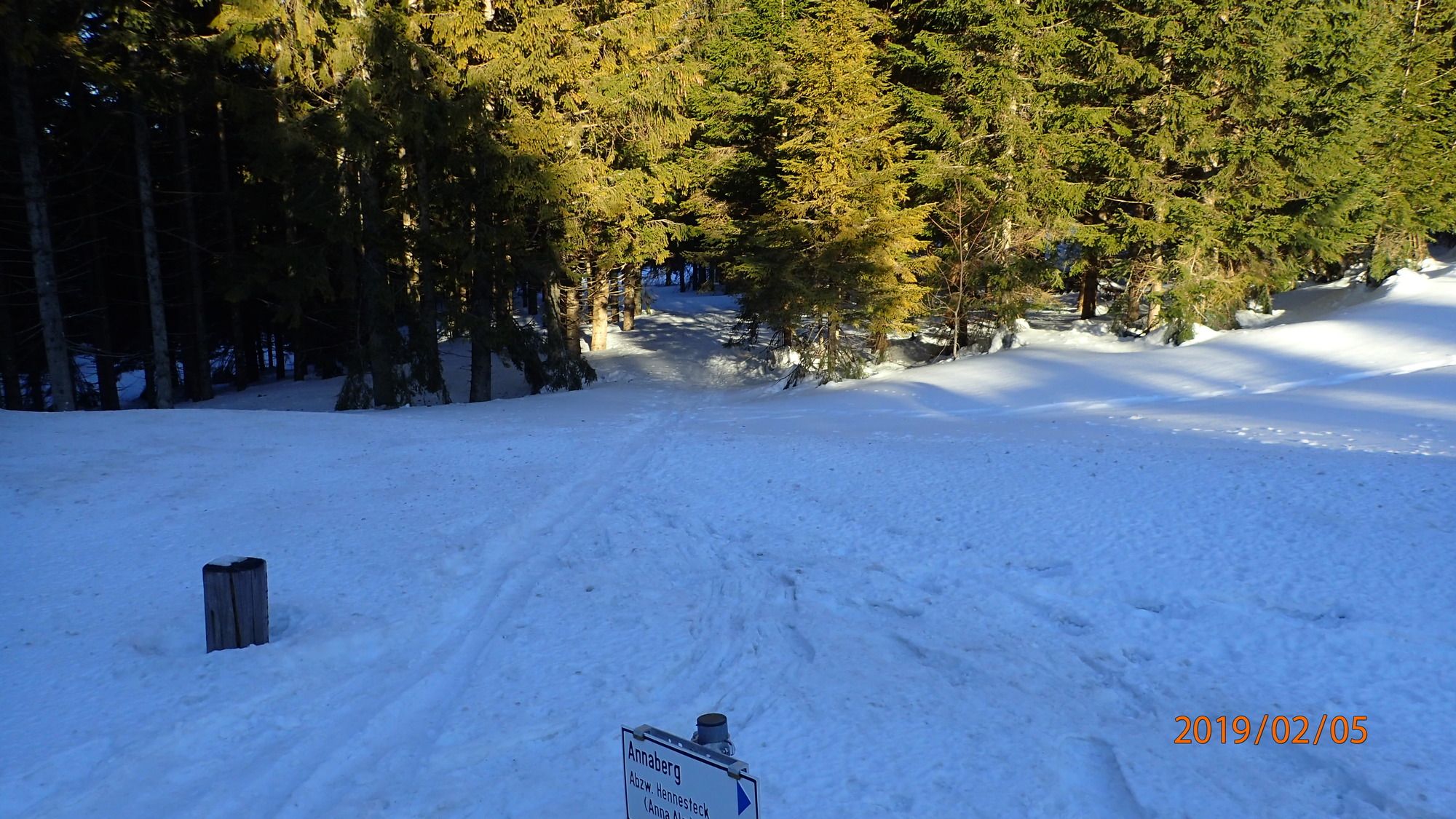
Hennesteck
- Exposition
- Lepo/Retriitti
-
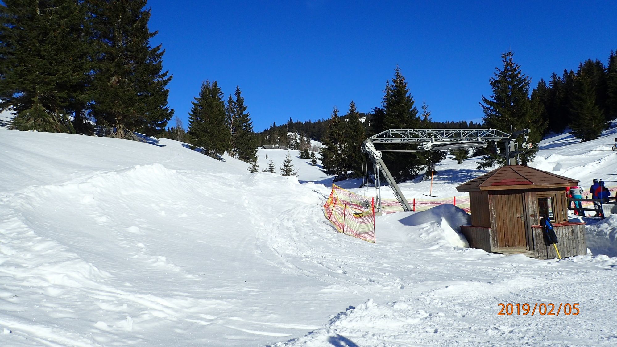
Anna Alm
- Karttamateriaali
-
bergfex, amap, kompass, opentopomap


- Lähde
- Erich Helferstorfer
GPS Downloads


Lisää retkiä alueilla
-
Mostviertel
70
-
Mariazellerland
76
-
Annaberg
29