


Retkitiedot
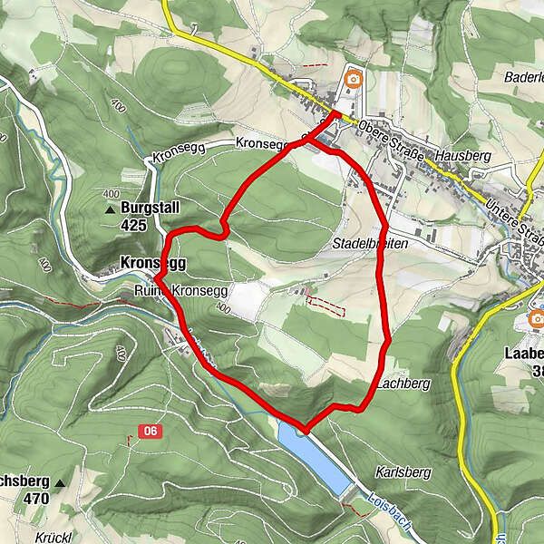
4,34km
318
- 421m
101hm
110hm
01:15h
- Lyhyt kuvaus
-
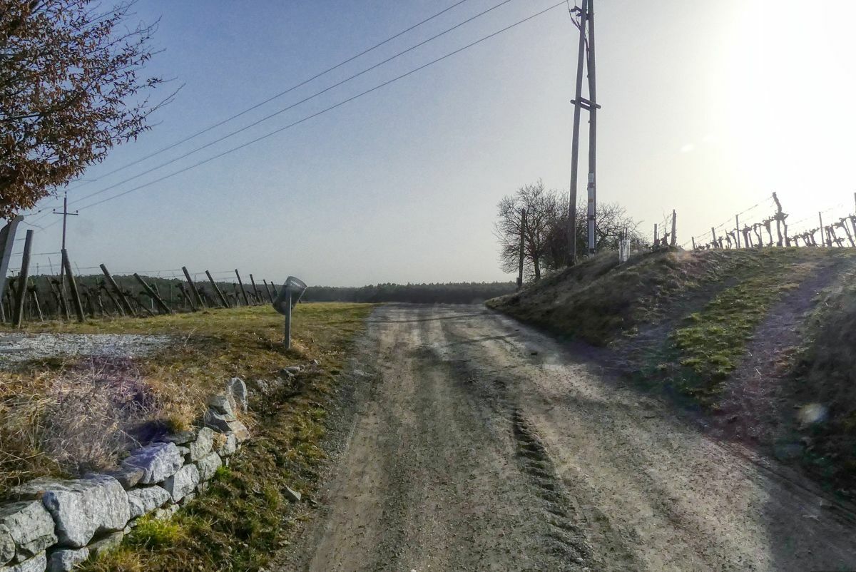
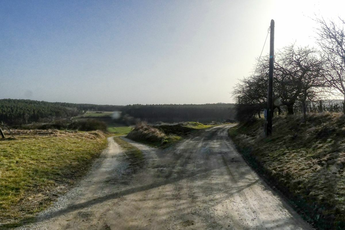
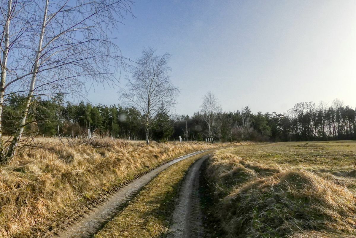
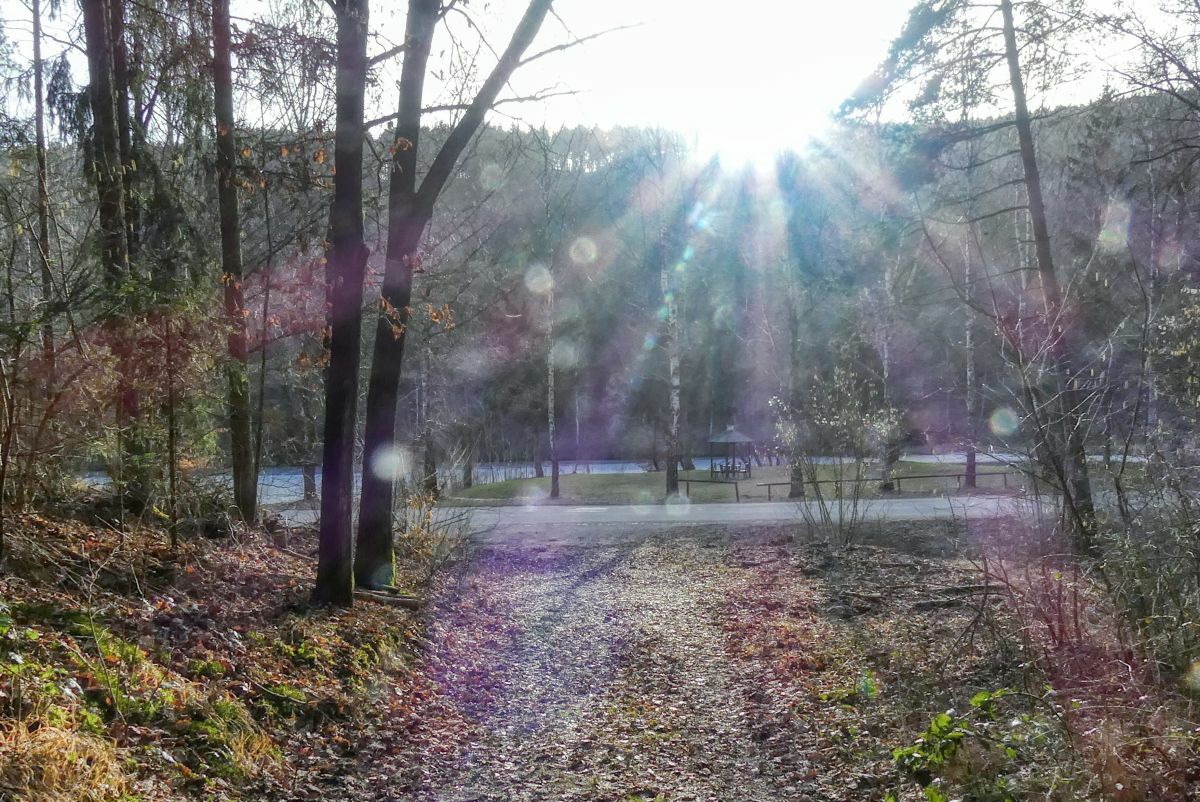
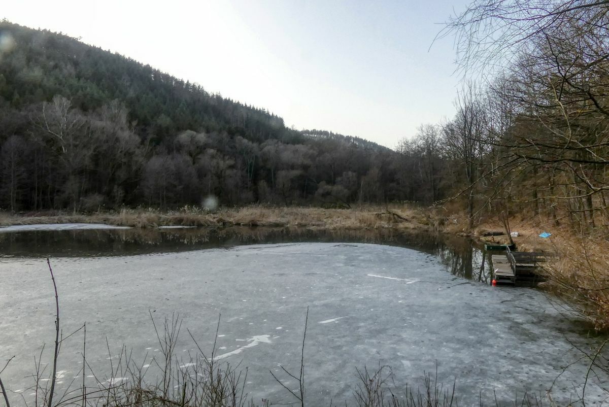
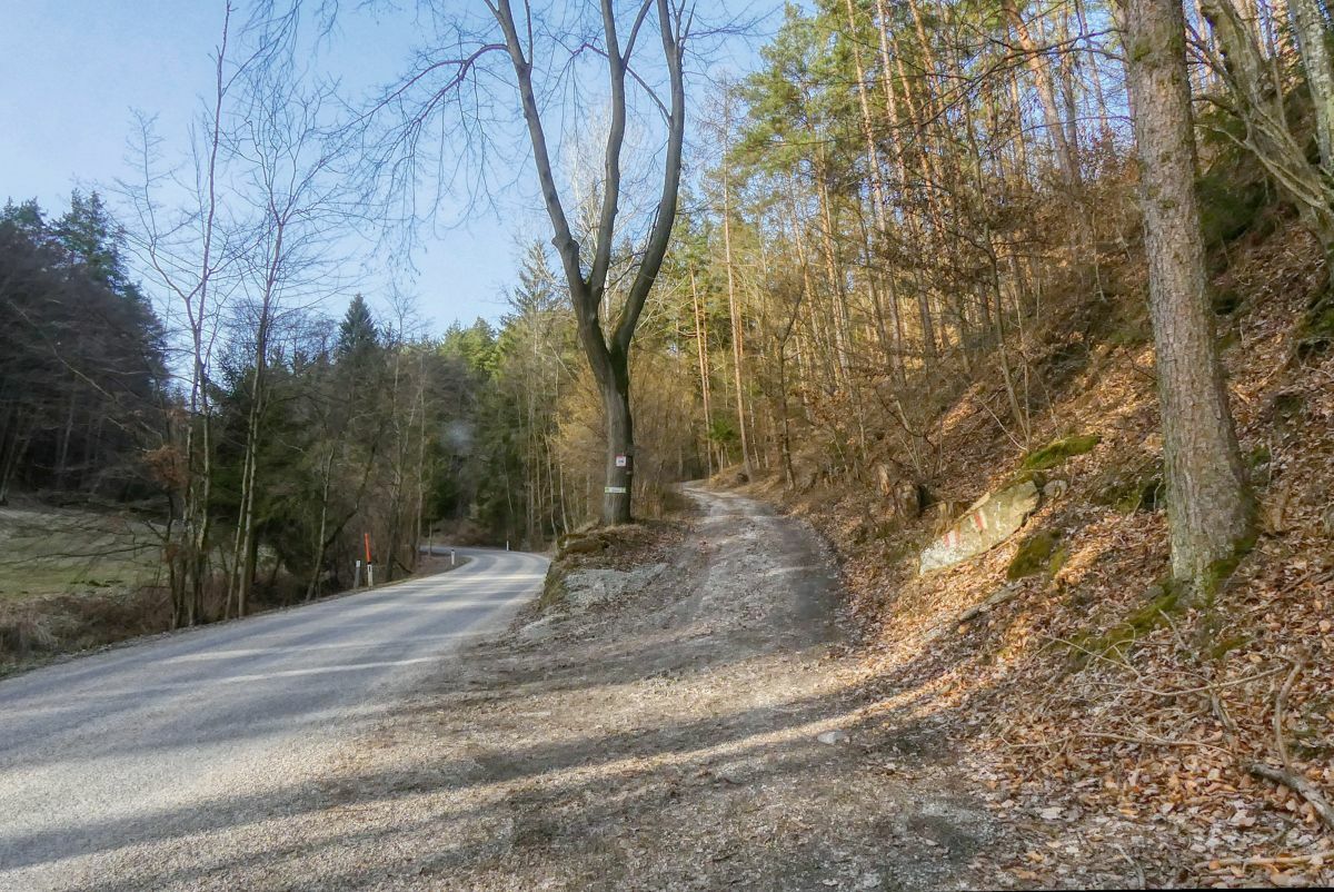
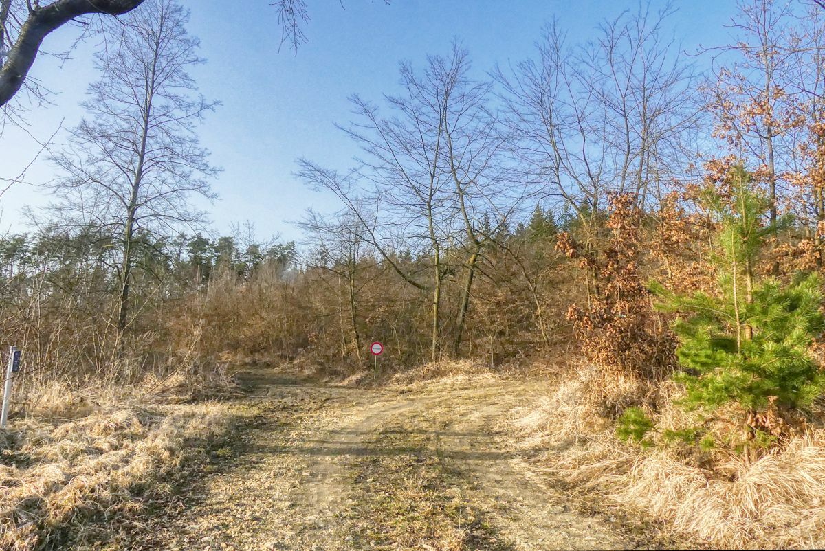
Eine viereinhalb Kilometer lange Runde in der nördlichsten Katastralgemeinde von Langenlois.
- Vaikeus
-
helppo
- Arviointi
-
- Lähtöpiste
-
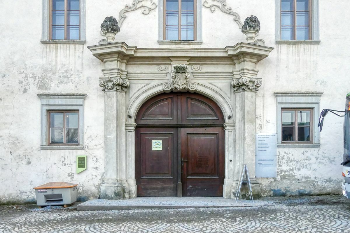
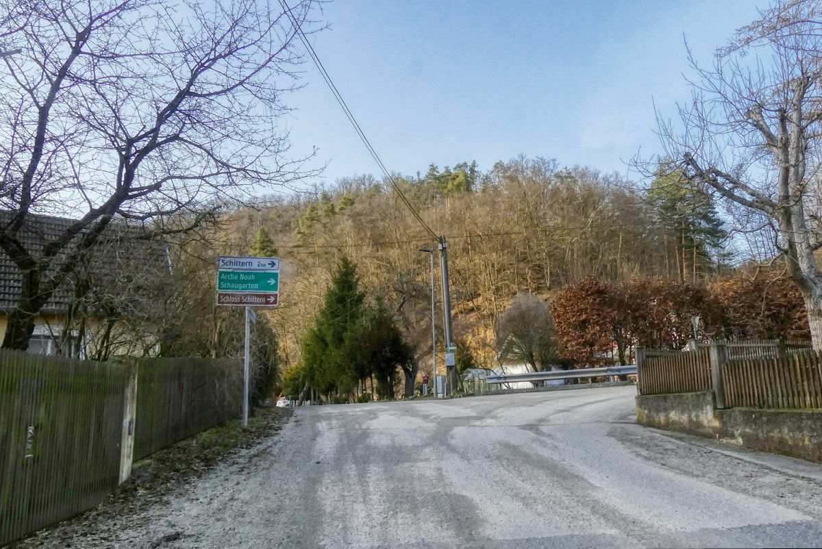
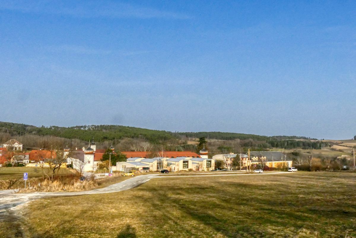
Schloss Schiltern
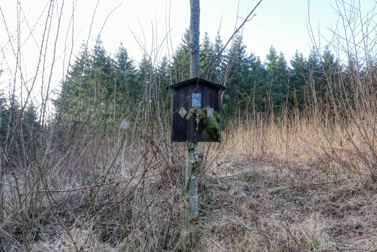
- Reitti
-
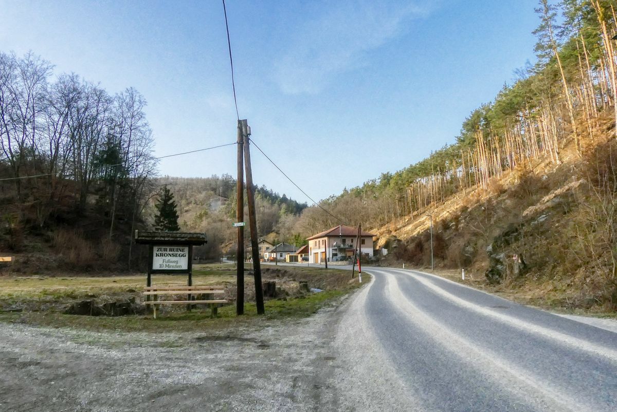
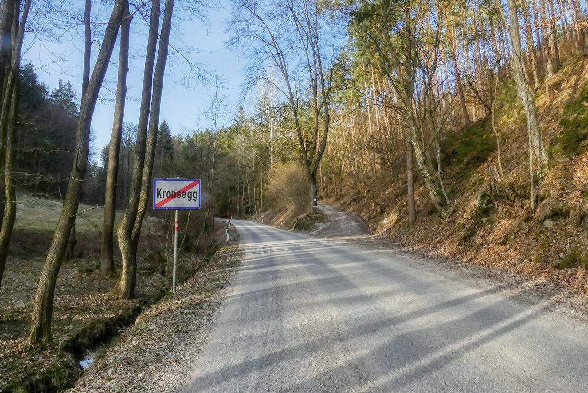
Schiltern0,6 kmLachberg1,5 kmKronsegg2,9 km
- Paras kausi
-
tammihelmimaalishuhtitoukokesäheinäelosyyslokamarrasjoulu
- Korkein kohta
- 421 m
- Kohde
-
Schloss Schiltern


- Lähde
- Weinbergwandern.at
GPS Downloads


Polun olosuhteet
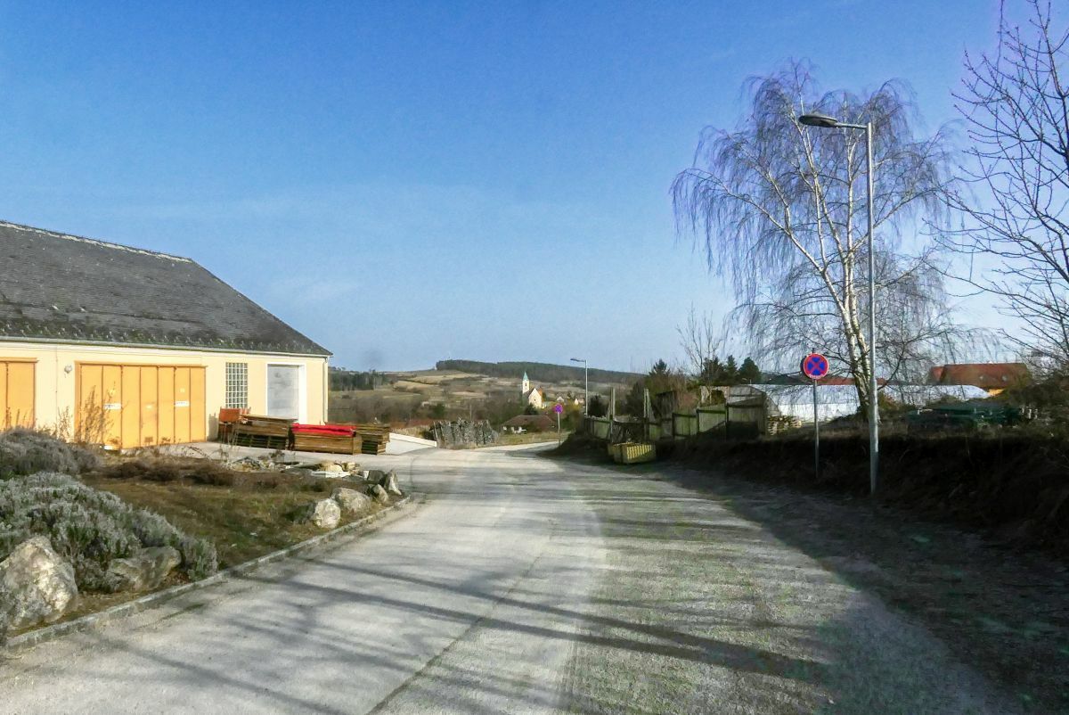
Asfaltti
Sora
Niitty
Metsä
Kallio
Altistettu
Lisää retkiä alueilla
-
Donau Niederösterreich
2289
-
Kamptal - Manhartsberg
1158
-
Lengenfeld
549


