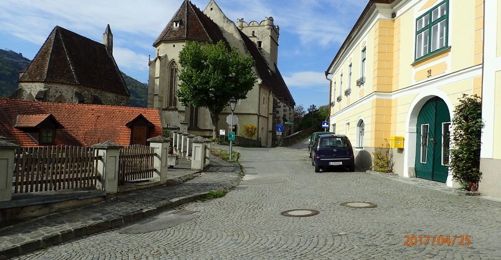
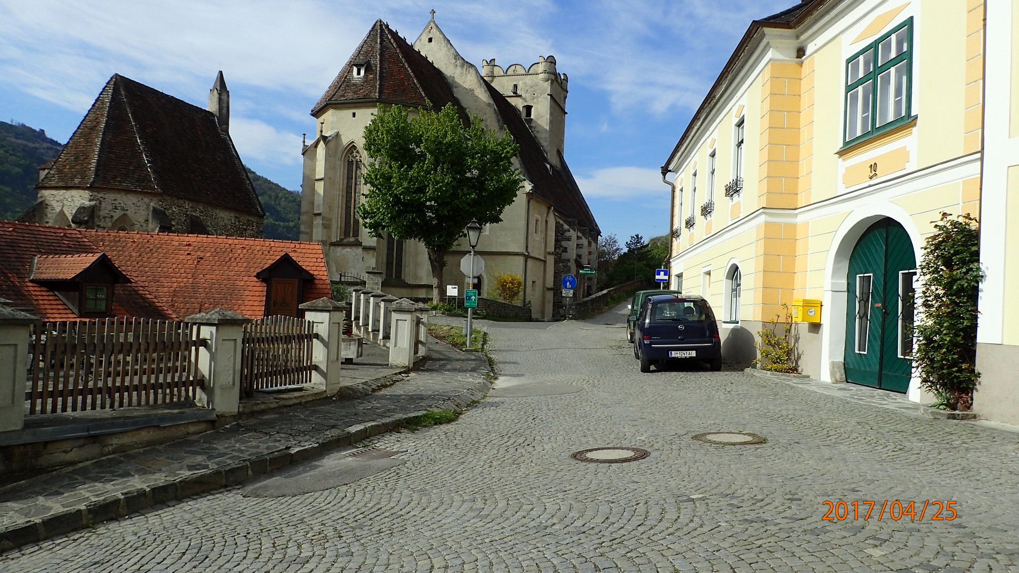
St. Michael Buschandlwand Seiber Weißenkirchen retour 25.04.2017


© hel
© hel

© hel

© hel

© hel

© hel

© hel

© hel

© hel

© hel
Retkitiedot
17,8km
204
- 743m
860hm
860hm
06:30h

- Lyhyt kuvaus
-
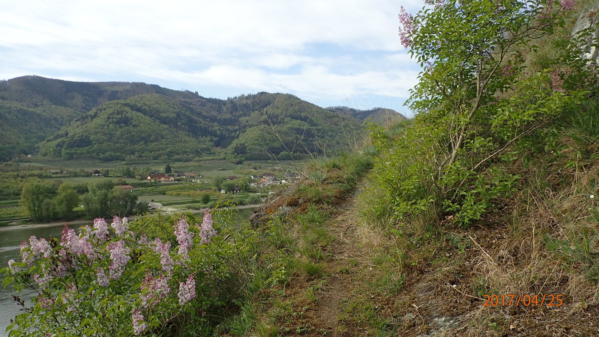
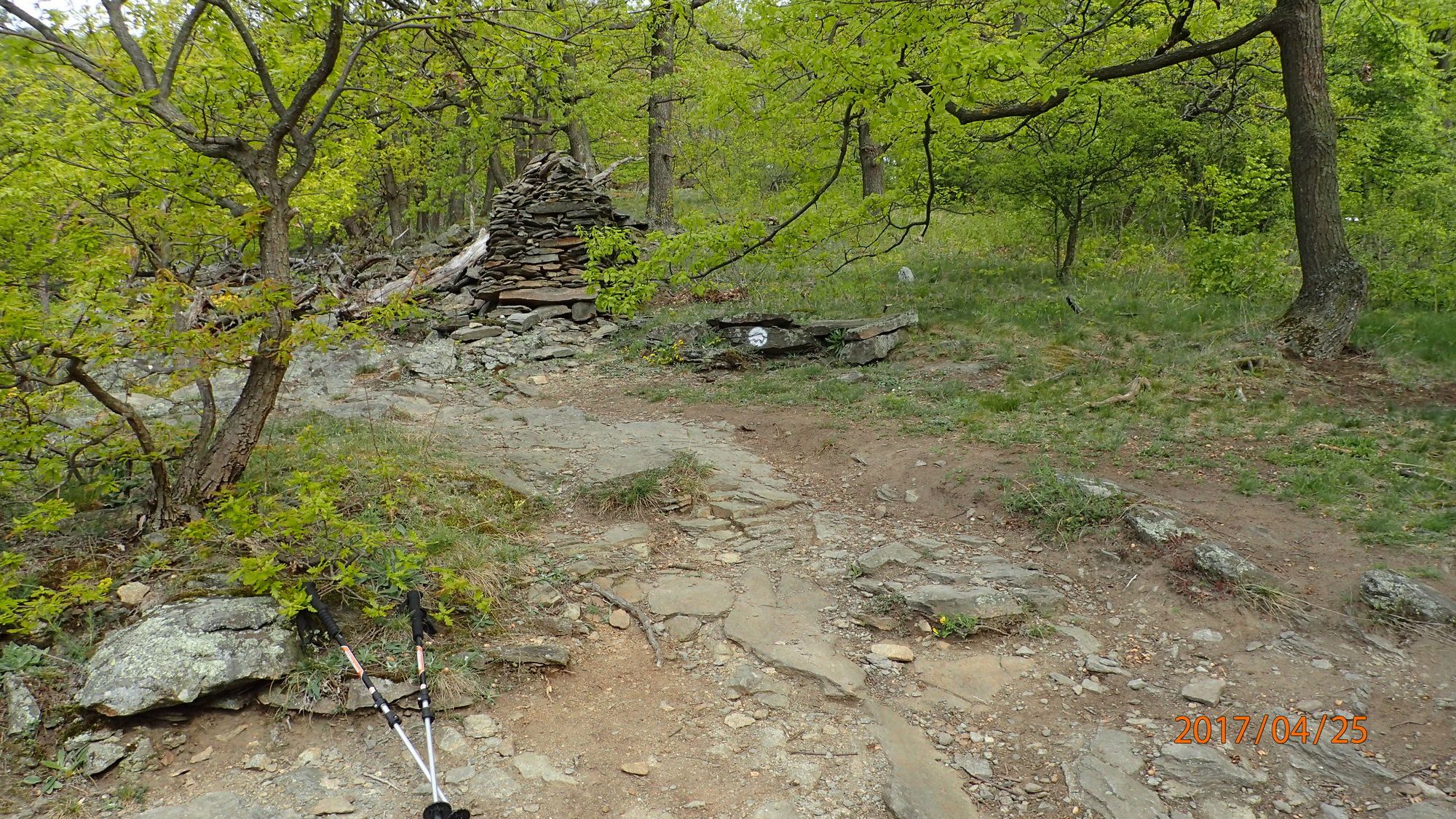
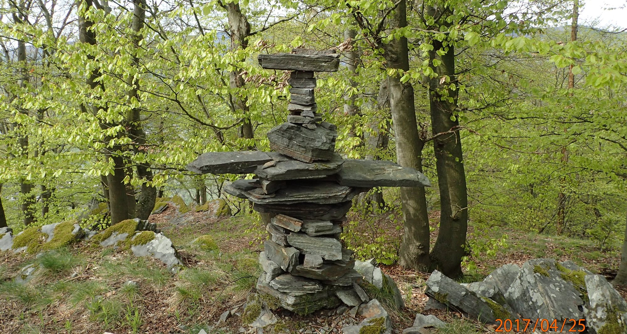
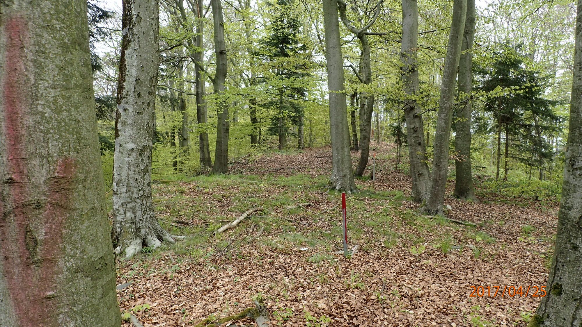
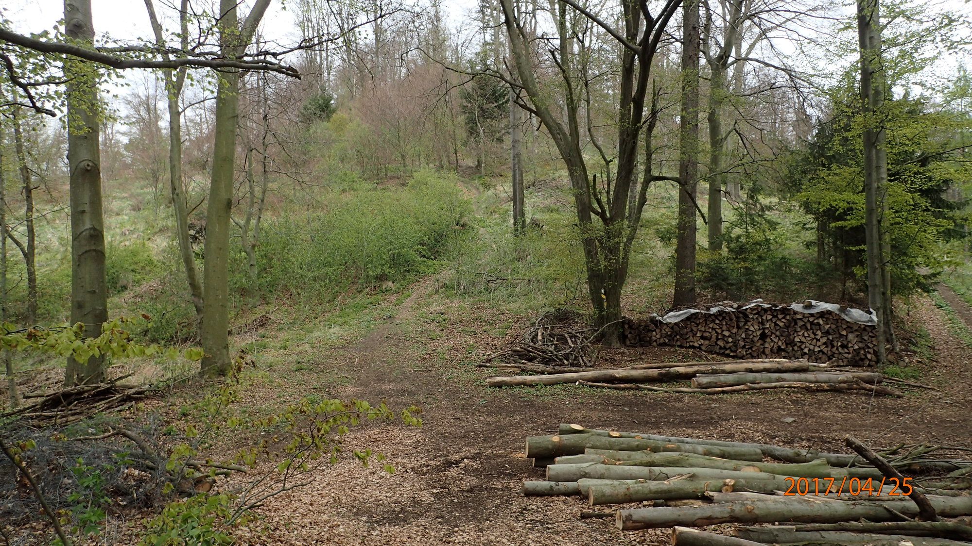
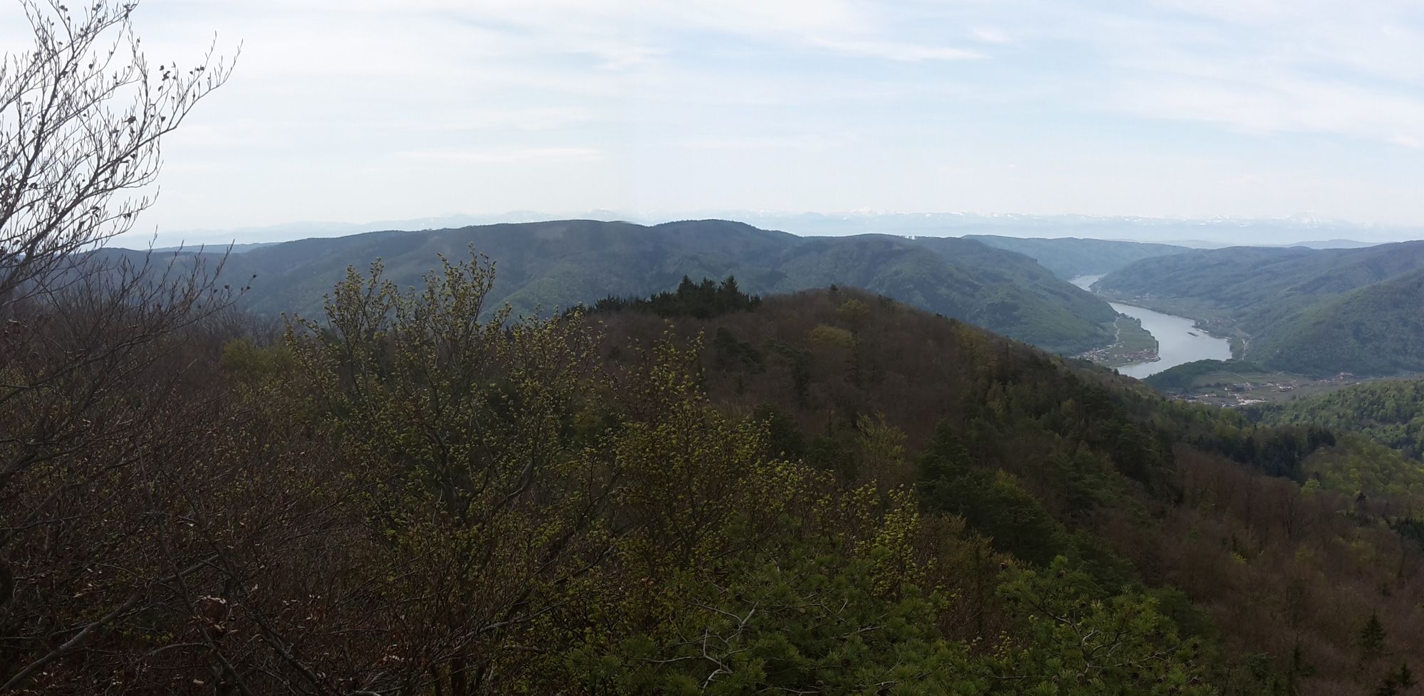
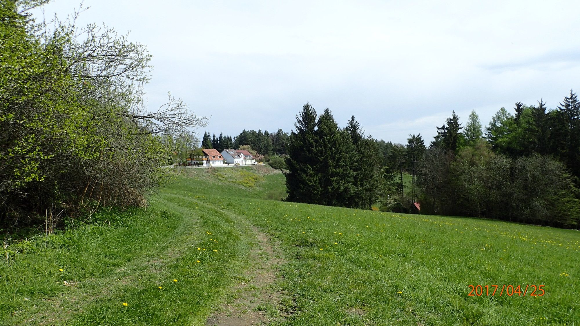
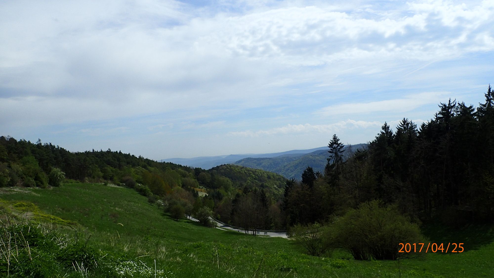
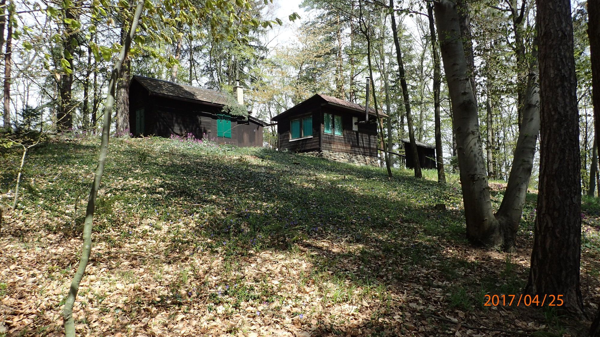
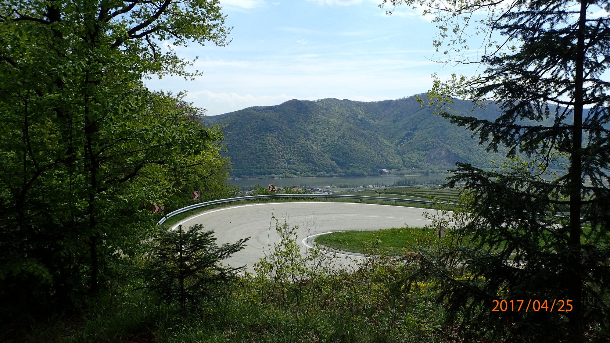
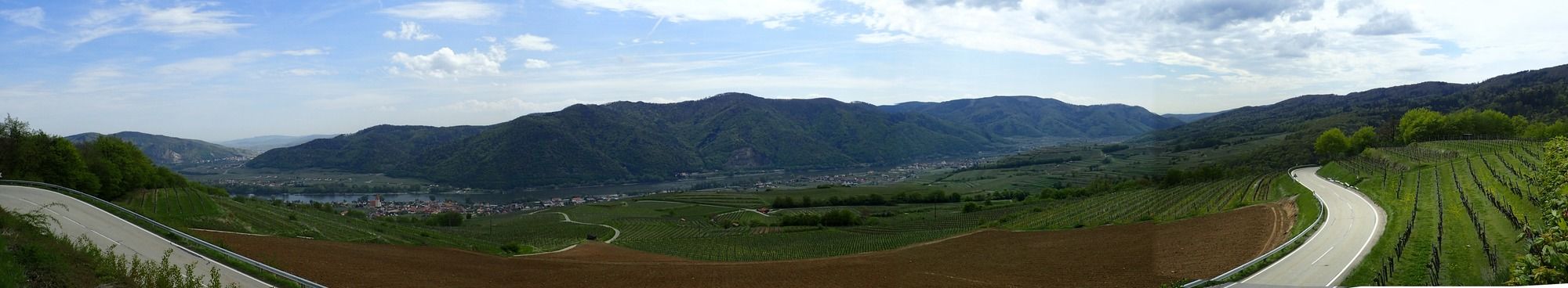
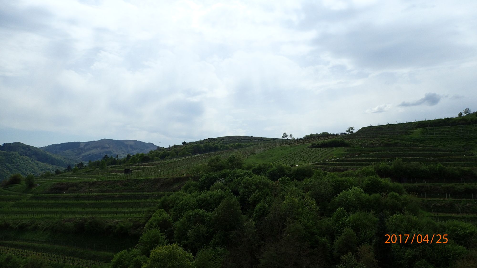
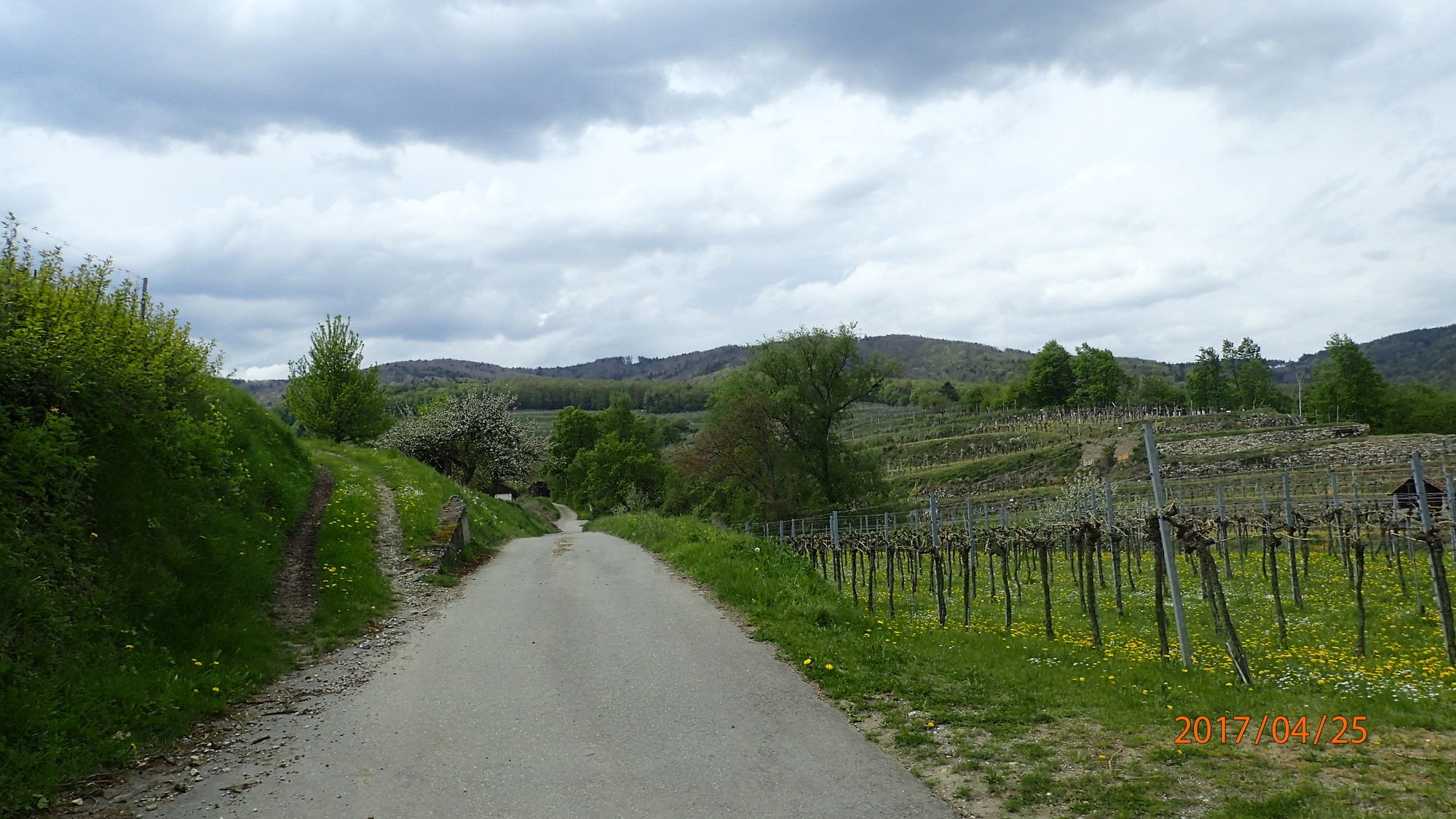
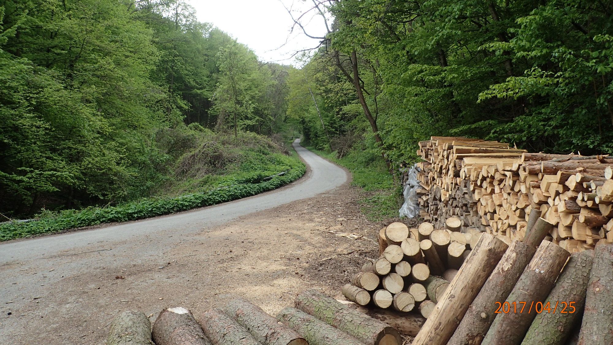
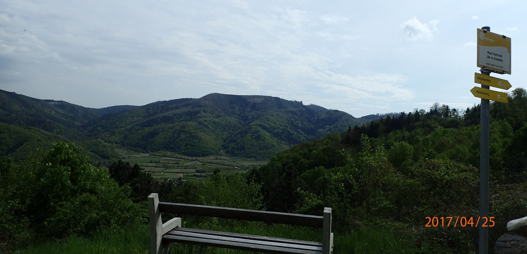
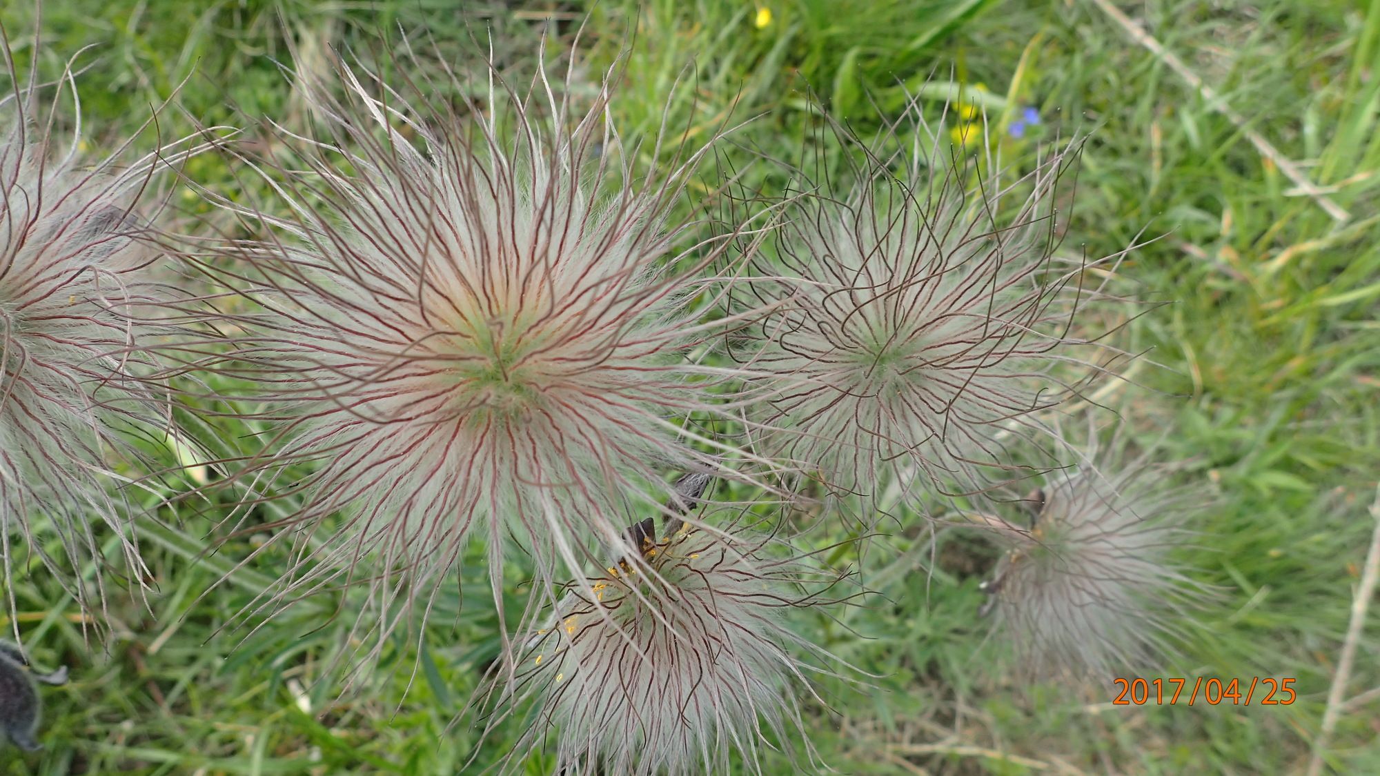
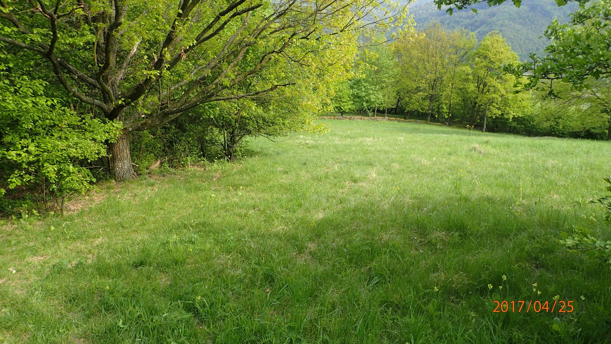
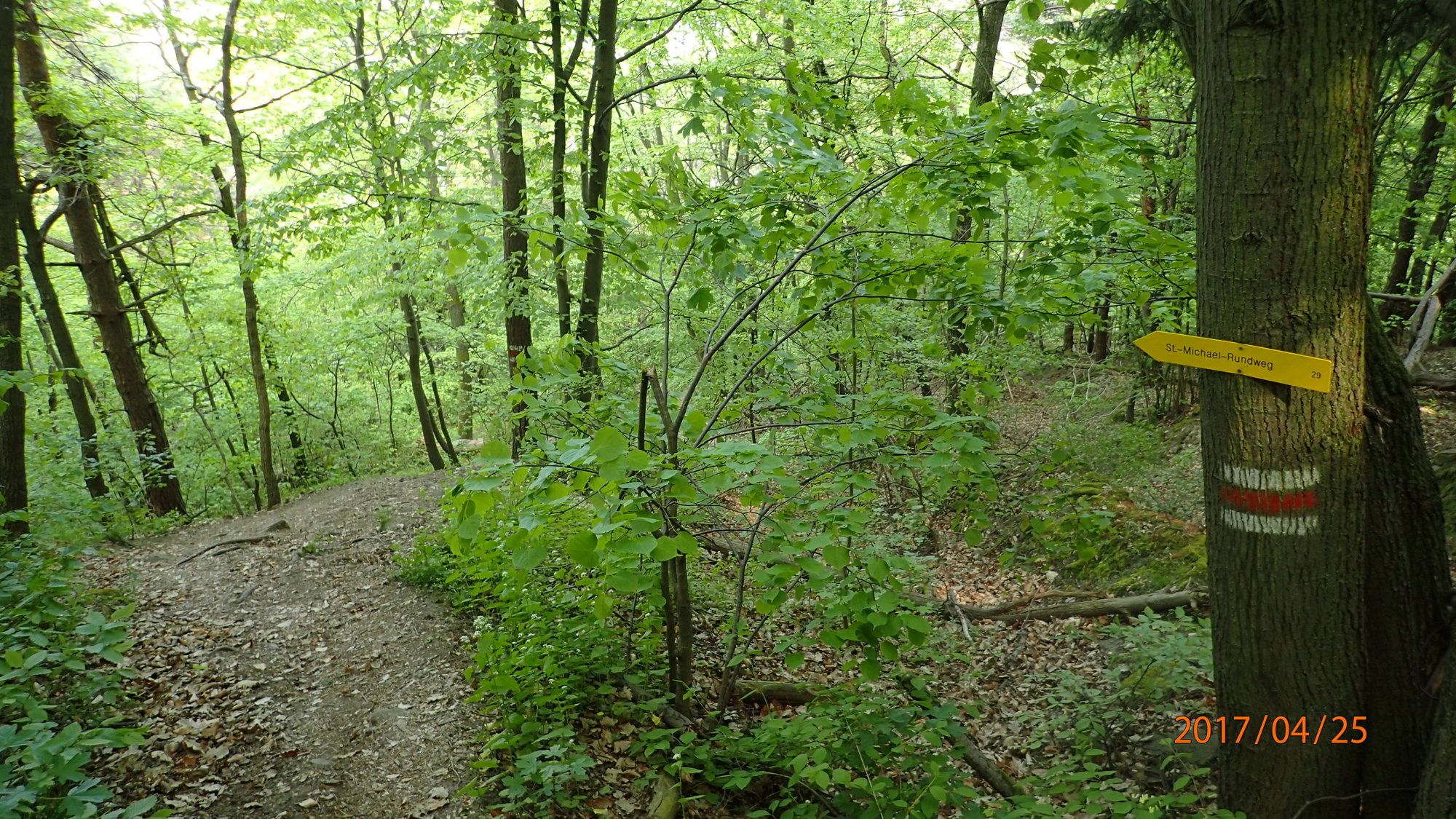
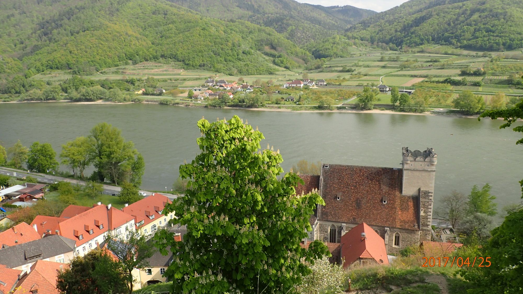
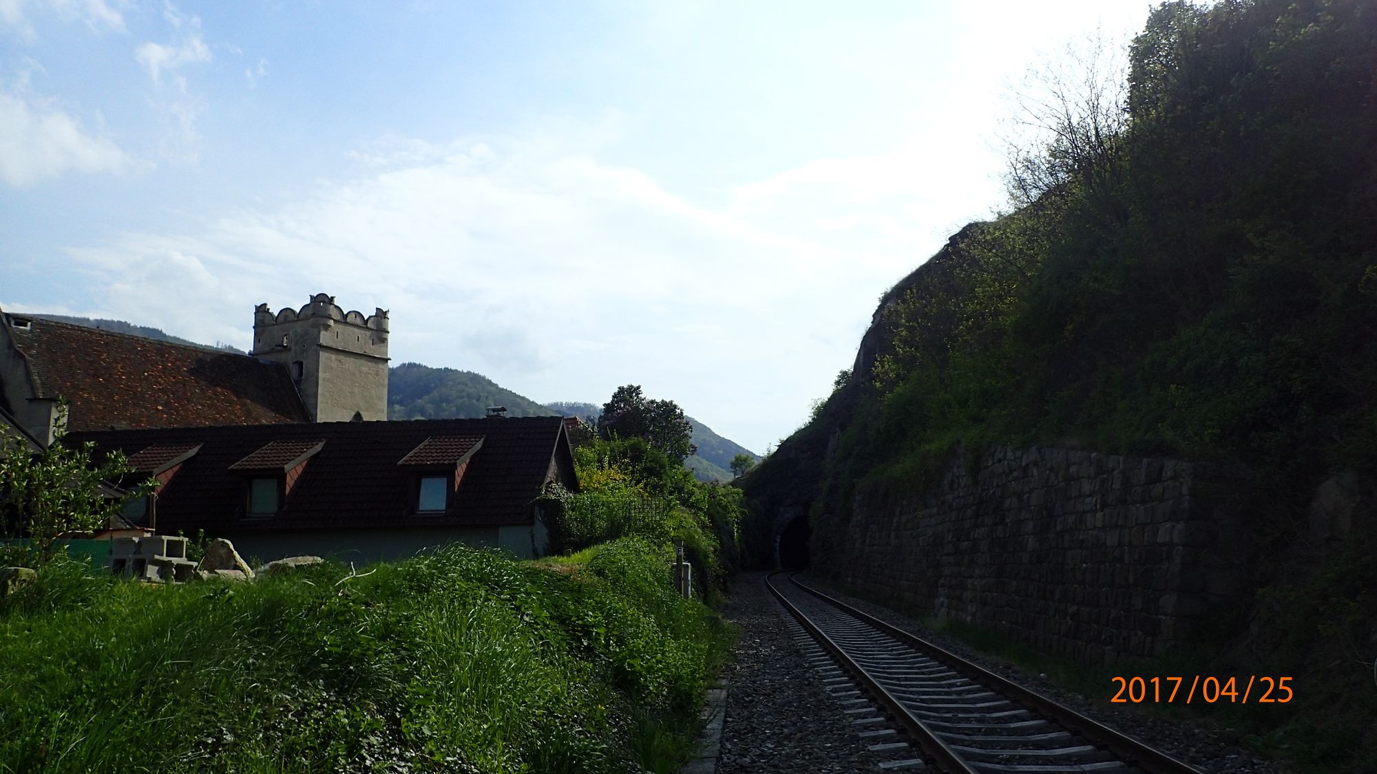
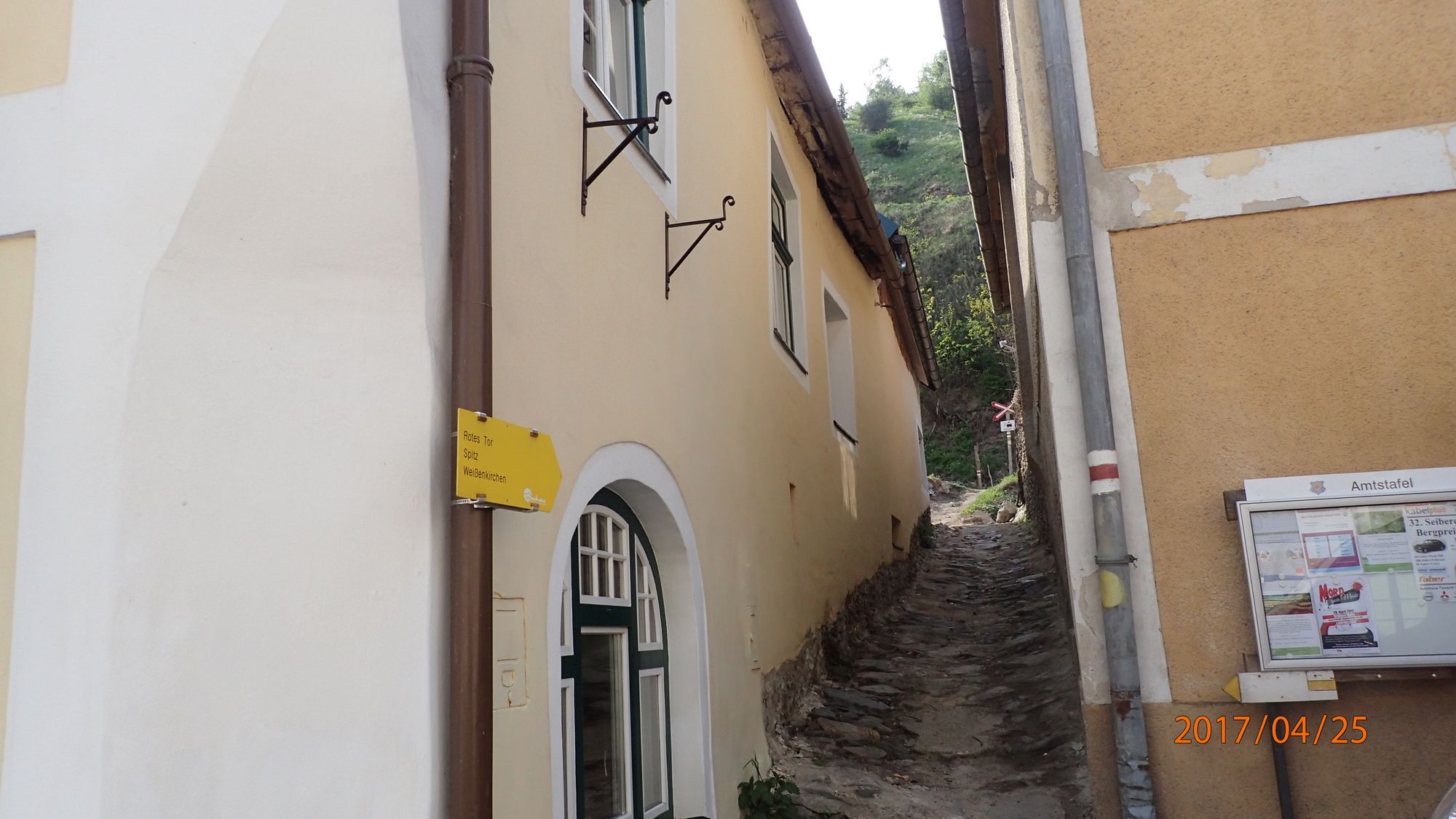
Schöne Wanderung von St. Michael auf die Buschandlwand und weiter über Seiber und Weißenkirchen wieder zurück.
- Vaikeus
-
tapa
- Arviointi
-
- Lähtöpiste
-
Parkplatz und Bushaltestelle St. Michael oder Haltestelle Bahn Wösendorf Joching
- Reitti
-
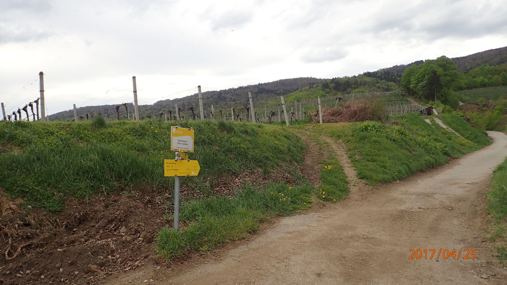
BacharnsdorfSankt Michael0,1 kmWehrkirche St. Michael0,1 kmMichaelerberg (540 m)1,4 kmAtzberg (612 m)2,0 kmHühnberg (664 m)3,1 kmBuschandlwand (741 m)4,3 kmSeiber7,2 kmSeiber (577 m)8,4 kmTaberreith9,2 kmVorderseiber (381 m)10,0 kmSankt Michael17,7 kmBacharnsdorf17,8 km
- Paras kausi
-
tammihelmimaalishuhtitoukokesäheinäelosyyslokamarrasjoulu
- Korkein kohta
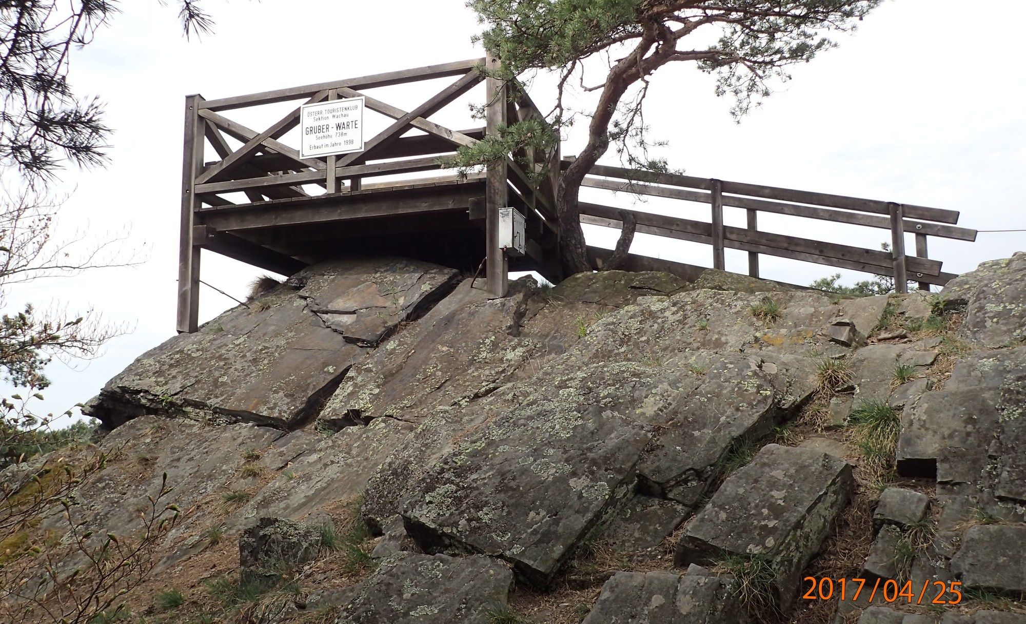
- Buschandlwand (743 m)
- Kohde
-
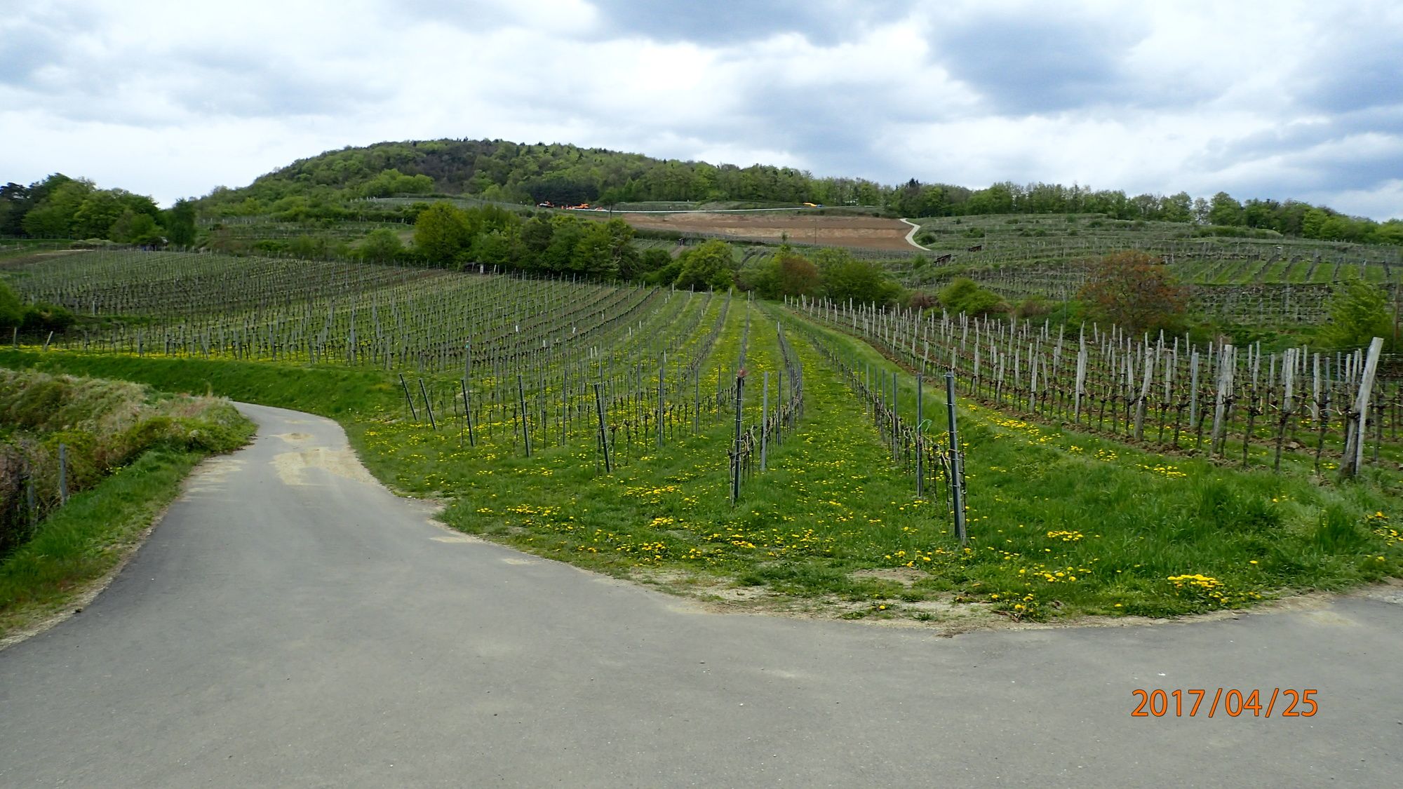
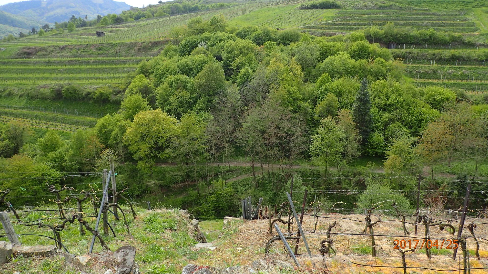
Parkplatz und Bushaltestelle St. Michael, Michaeler Berg, Buschandlwand, Seiber, Weltkulturerbe-Steig-Wachau folgend u. a. durch die Rieden in Weißenkirchen Joching Wösendorf und nach St. Michael.
- Lepo/Retriitti
-
Diverse Gastronomiebetriebe, Heurige
- Karttamateriaali
-
bergfex, amap, kompass, opentopomap


- Lähde
- Erich Helferstorfer
GPS Downloads


Polun olosuhteet
Asfaltti
(19%)
Sora
(40%)
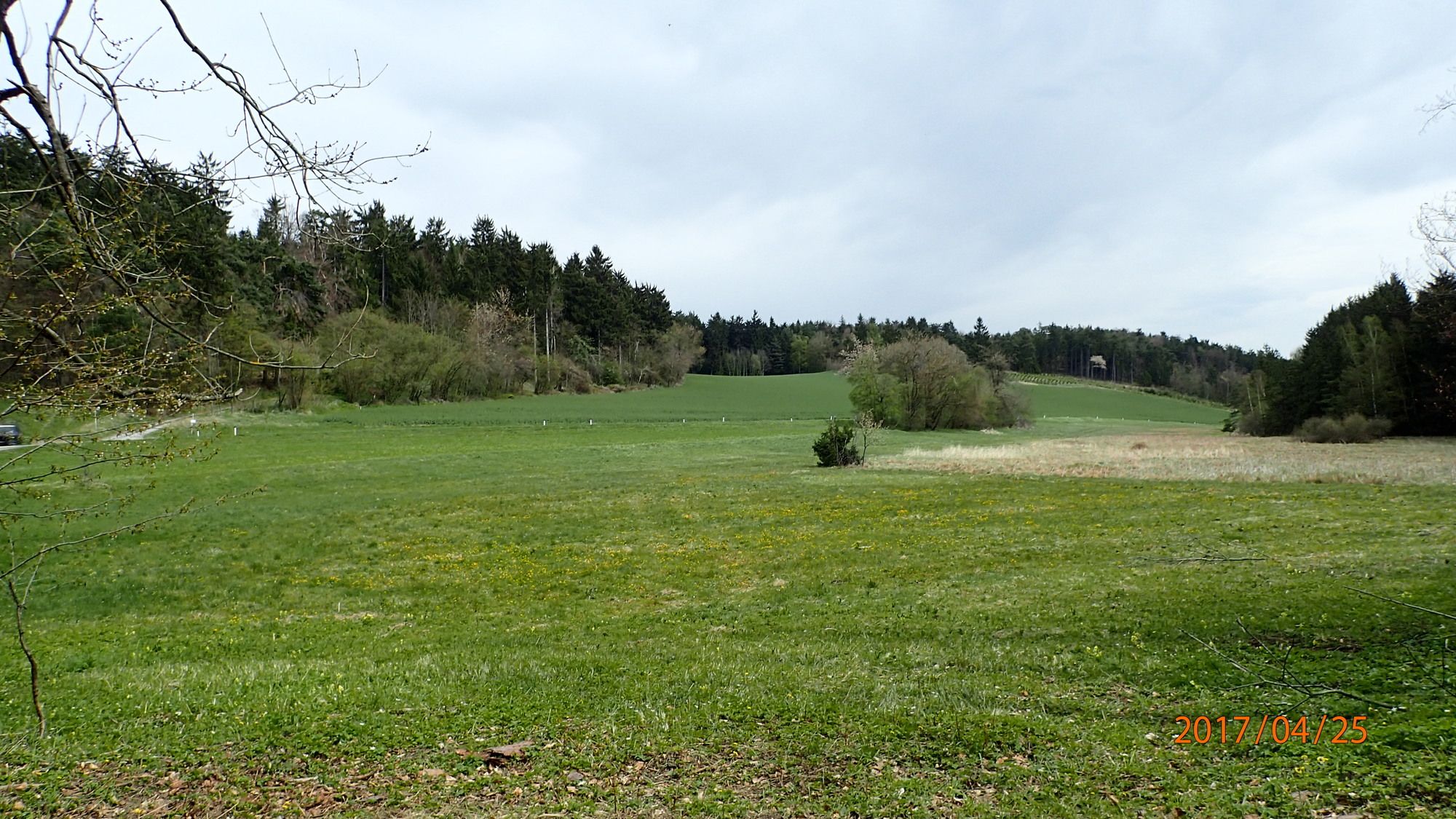
Niitty
(40%)
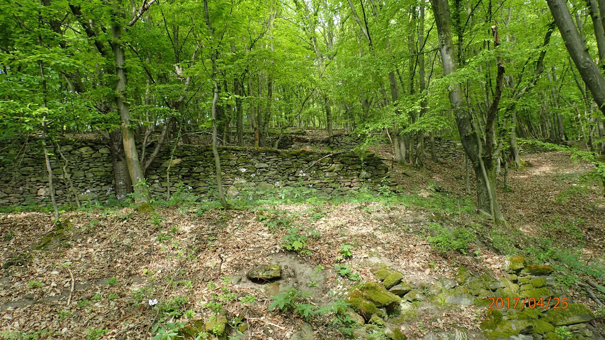
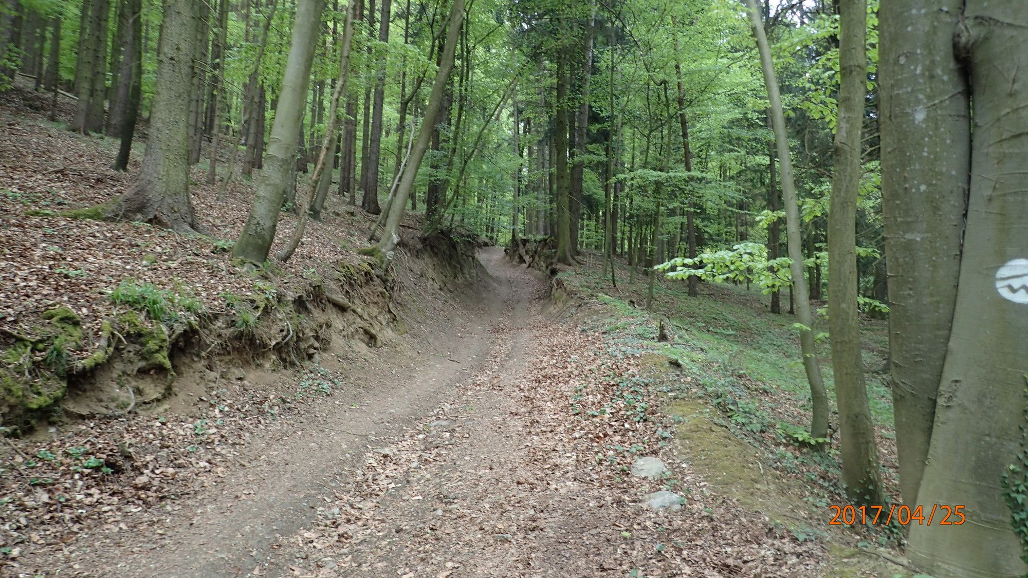
Metsä
(33%)
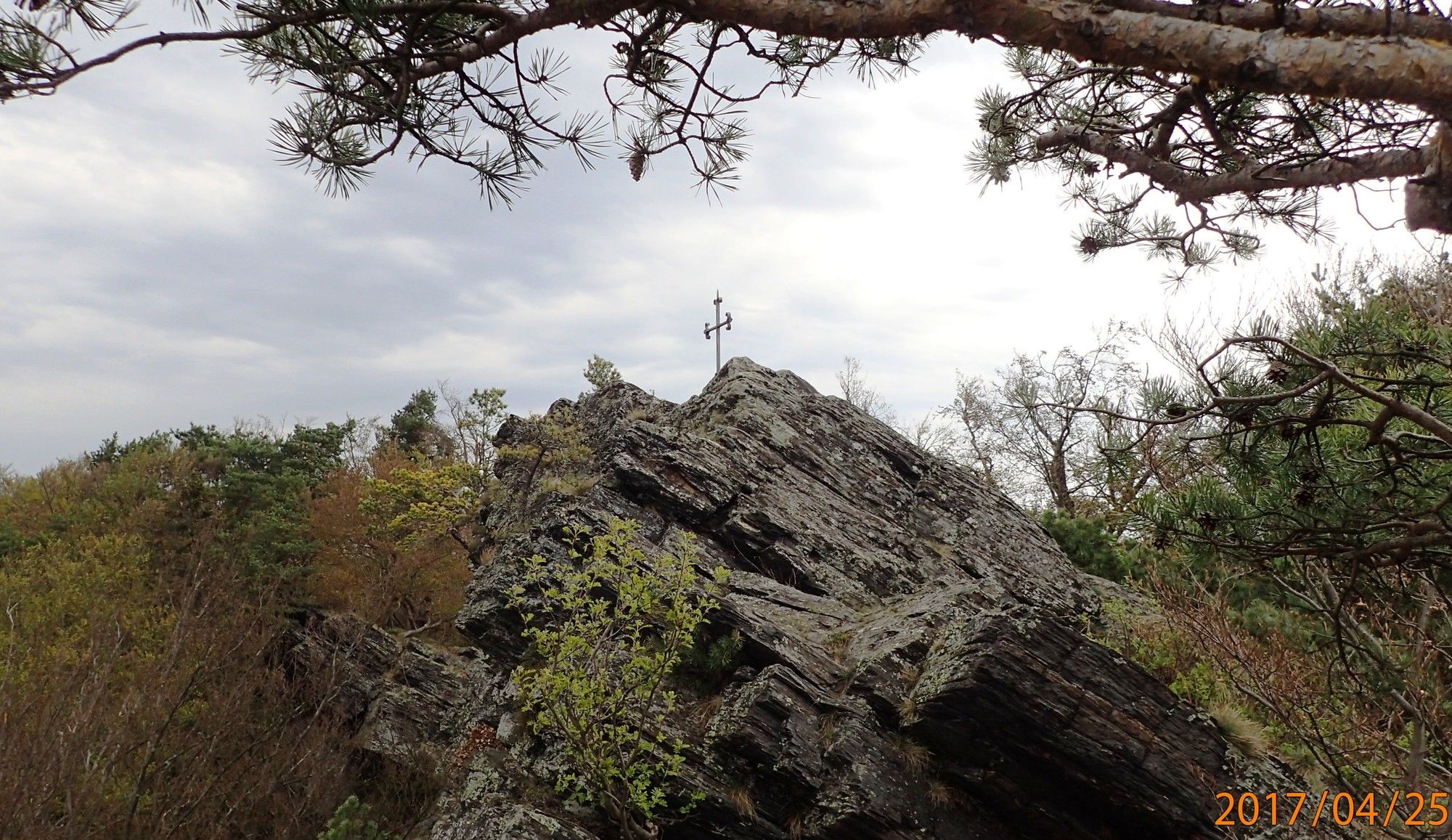
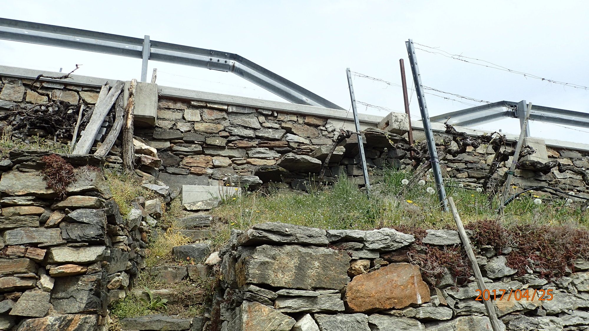
Kallio
(1%)
Altistettu
(1)
Lisää retkiä alueilla
-
Donau Niederösterreich
2288
-
Dunkelsteinerwald
1372
-
Spitz an der Donau
605


