

© Dieter Zeilinger

© Dieter Zeilinger

© Dieter Zeilinger

- Lyhyt kuvaus
-
Wegmarkierung Nr. 72
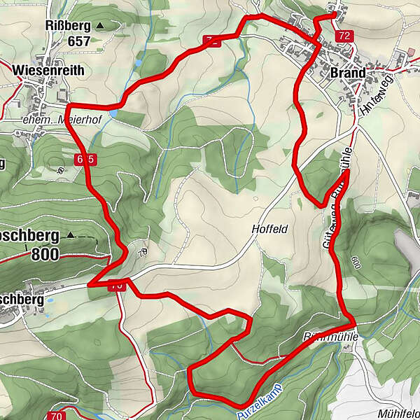
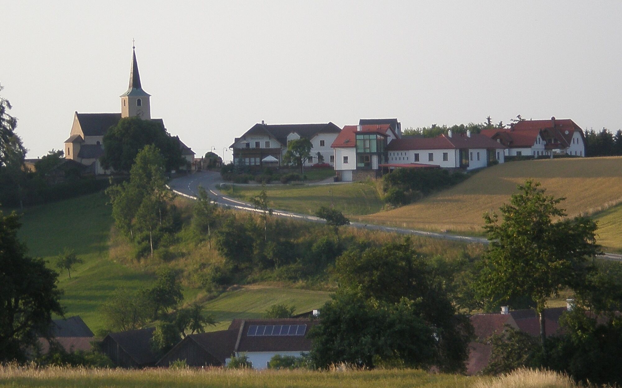
Brand - Loschberg - Wiesenreith - Brand
- Vaikeus
-
tapa
- Arviointi
-
- Reitti
-
Gasthof HagmannPfarrkirche zum hl. GeorgBrand0,4 kmPörzelberg0,7 kmLoschberg5,5 kmWiesenreith6,8 kmBrand8,6 kmGasthof Hagmann8,8 kmPfarrkirche zum hl. Georg8,8 km
- Paras kausi
-
tammihelmimaalishuhtitoukokesäheinäelosyyslokamarrasjoulu
- Korkein kohta
- 719 m
- Kohde
-
Gasthaus Hagmann/Kirche Brand
- Korkeusprofiili
-


- Kirjoittaja
-
Kiertue Schatzbichlweg - "Salierawanderung" käyttää outdooractive.com toimitettu.
GPS Downloads


Yleistä tietoa
Virvokepysäkki
Kulttuuri/Historiallinen
Flora
Lisää retkiä alueilla
-
Waldviertel
1776
-
Waldviertel Mitte
1247
-
Waldhausen
267


