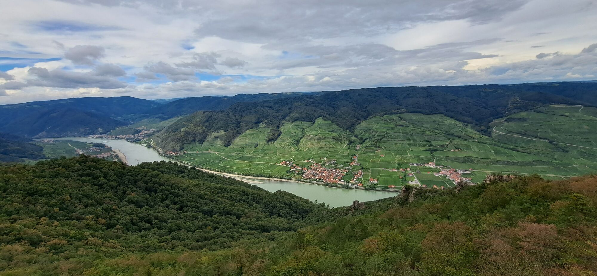
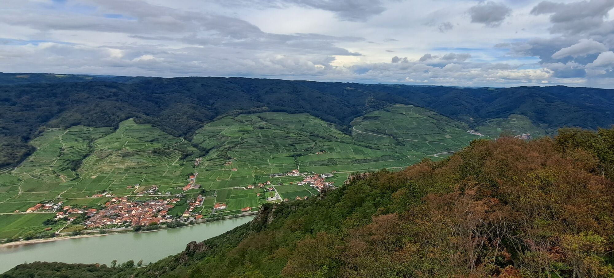
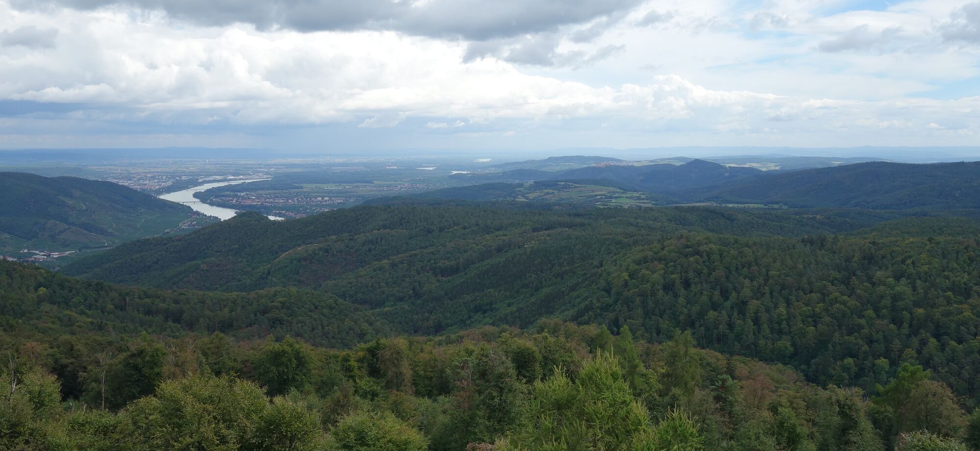
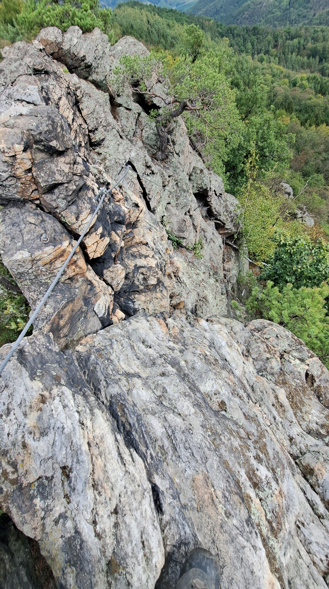
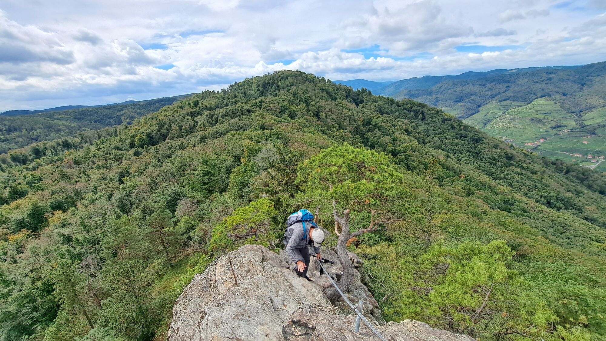
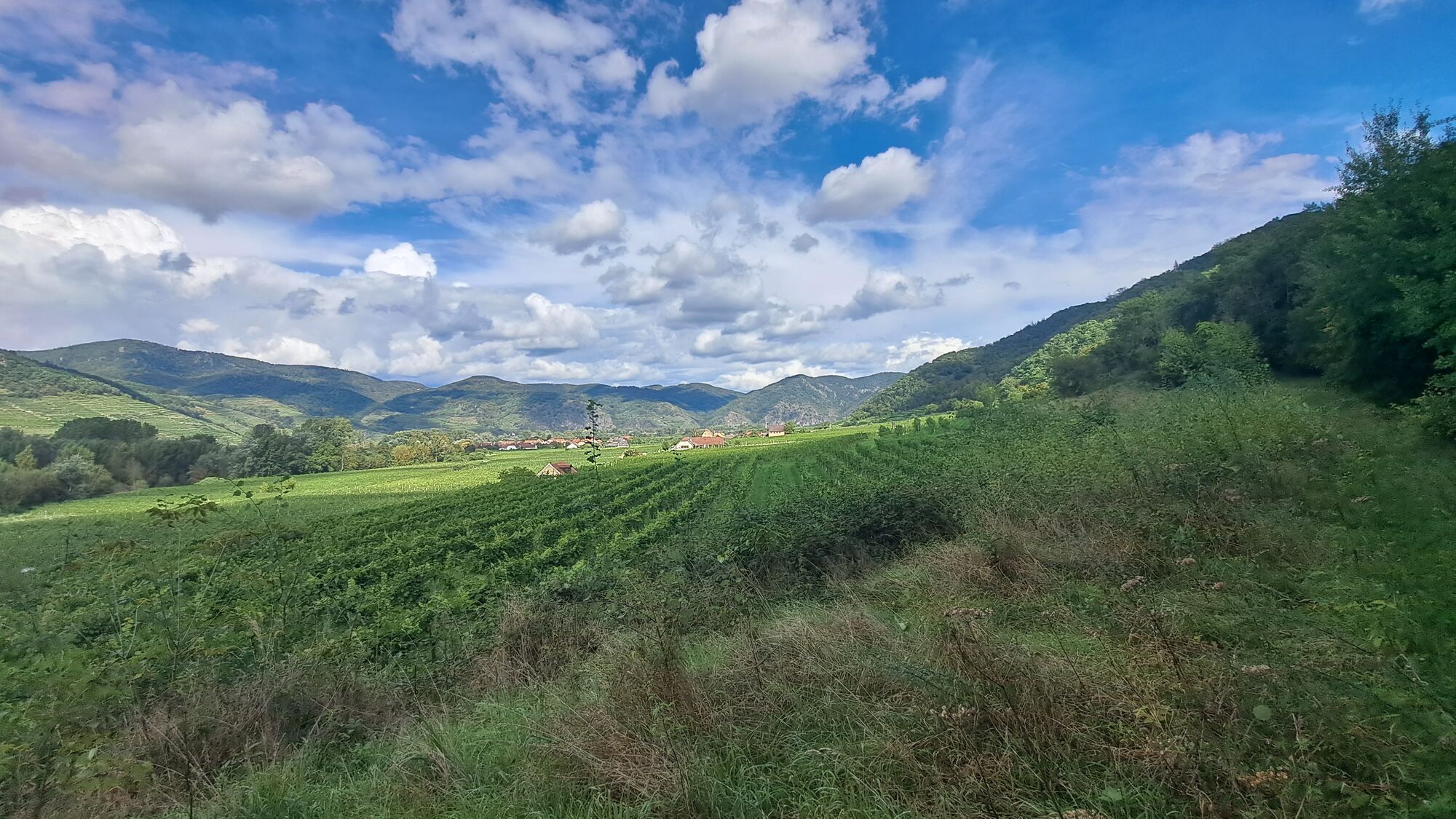
ST.LORENZ Fahnenwand Hirschwand Seekopfwarte Rotes Kreuz Rührsdorfer Graben 20220910


© hel

© hel

© hel

© hel

© hel

© hel

© hel

© hel

© hel

© hel
Retkitiedot
9,7km
212
- 671m
515hm
515hm
03:47h

- Lyhyt kuvaus
-
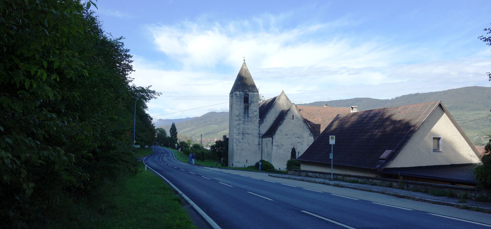
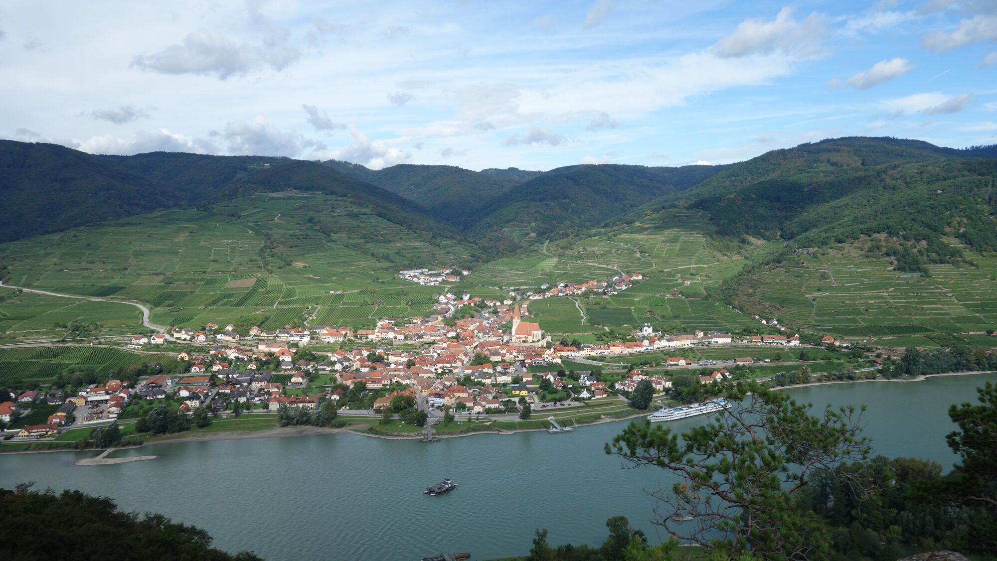
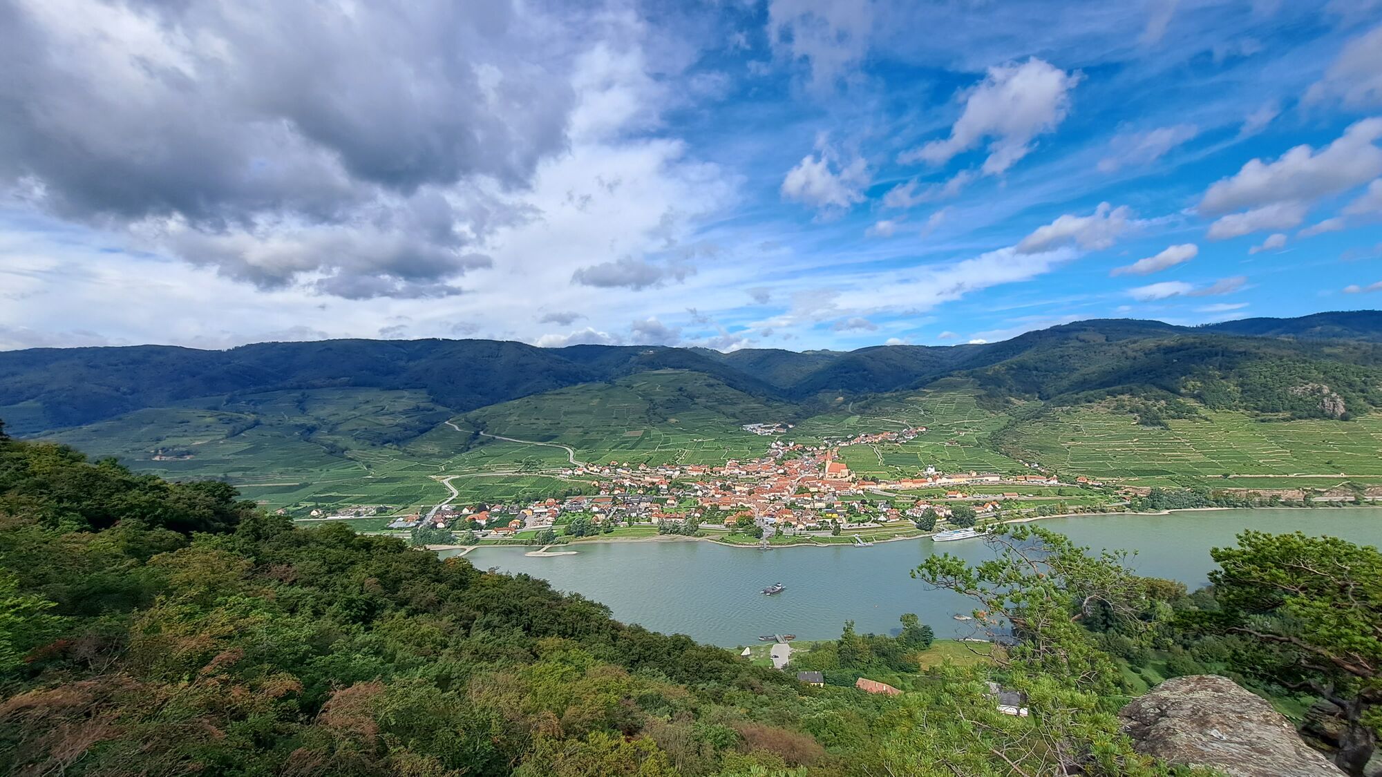
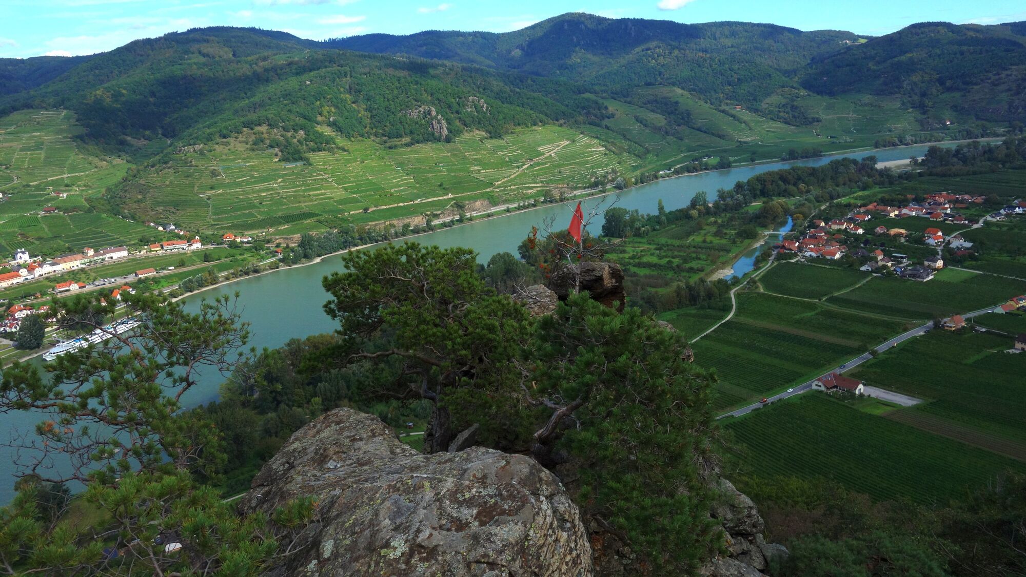
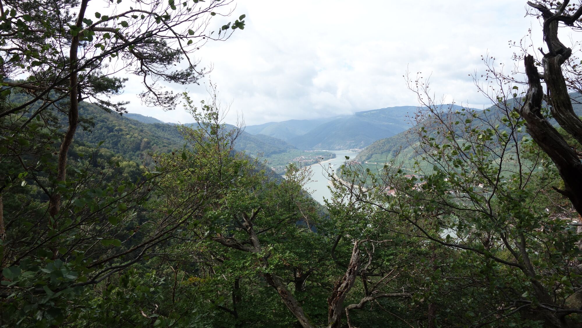
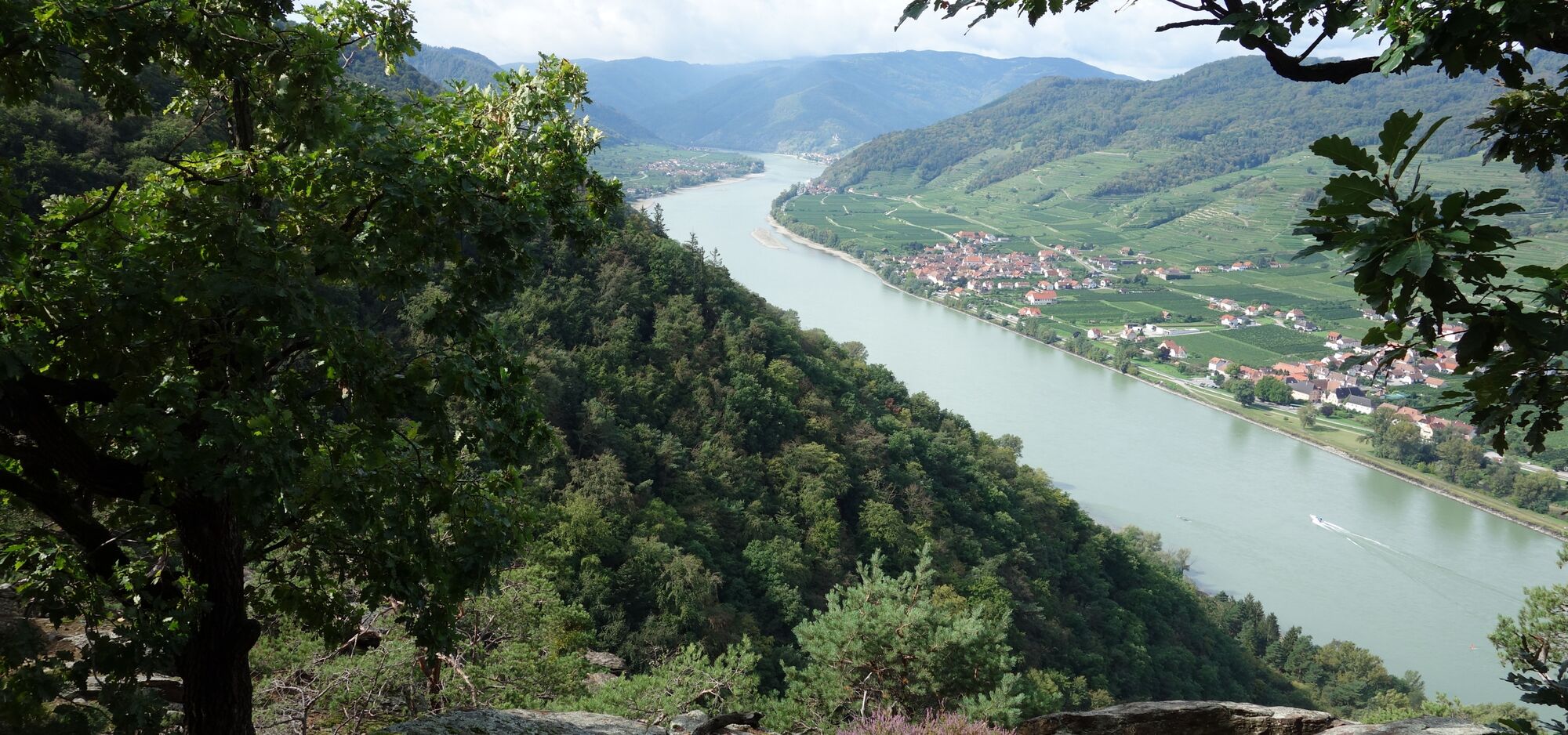
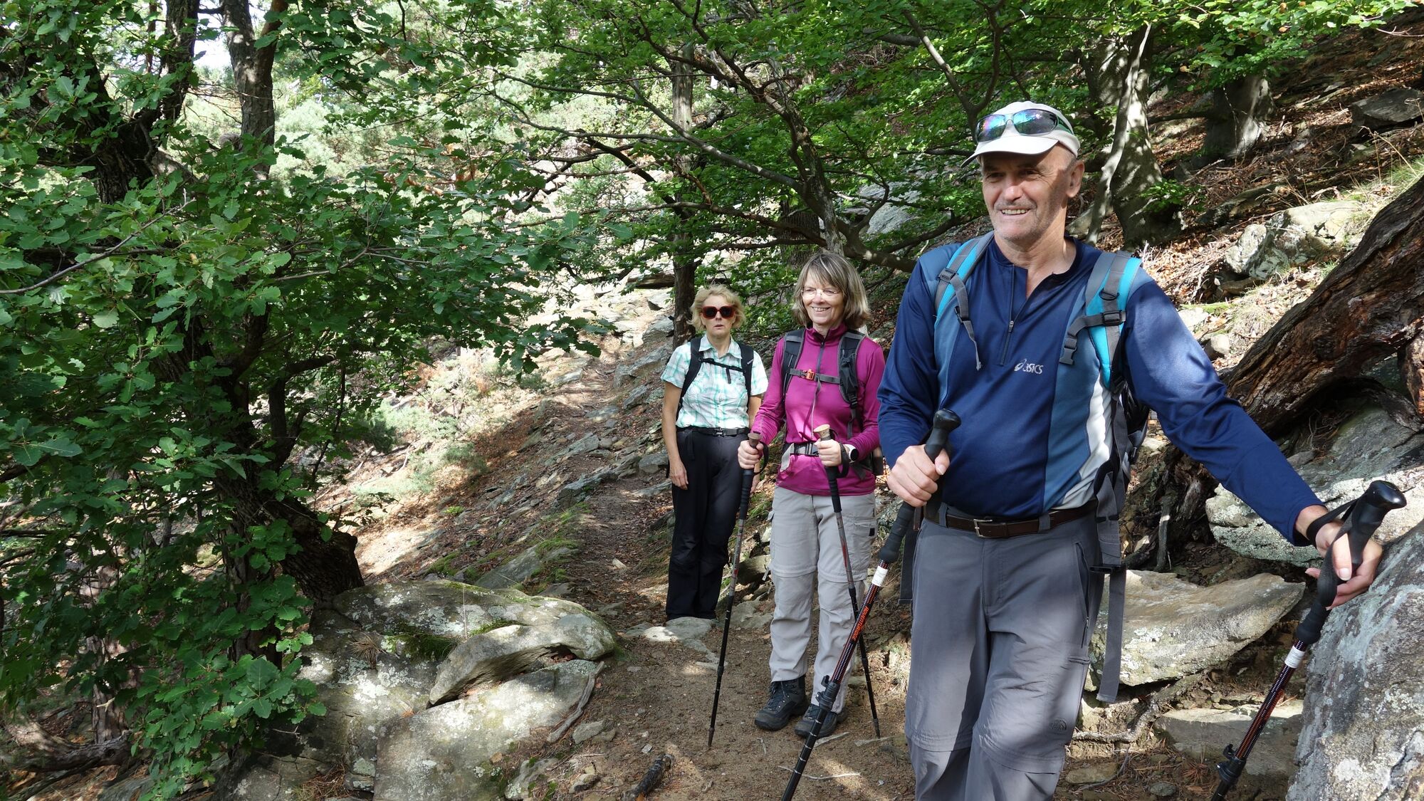
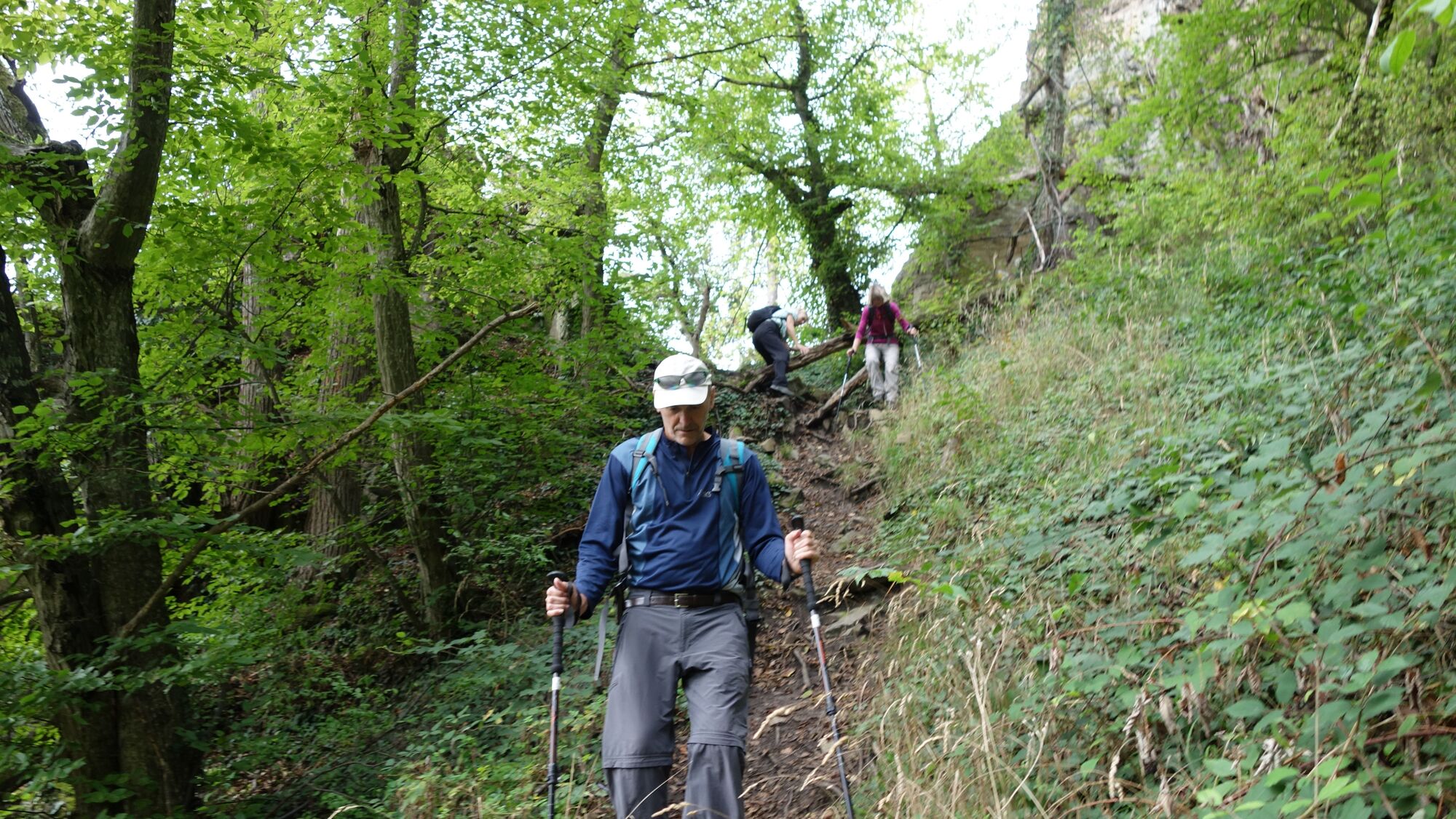
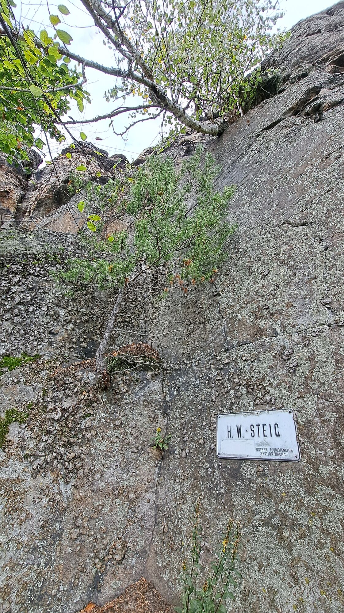
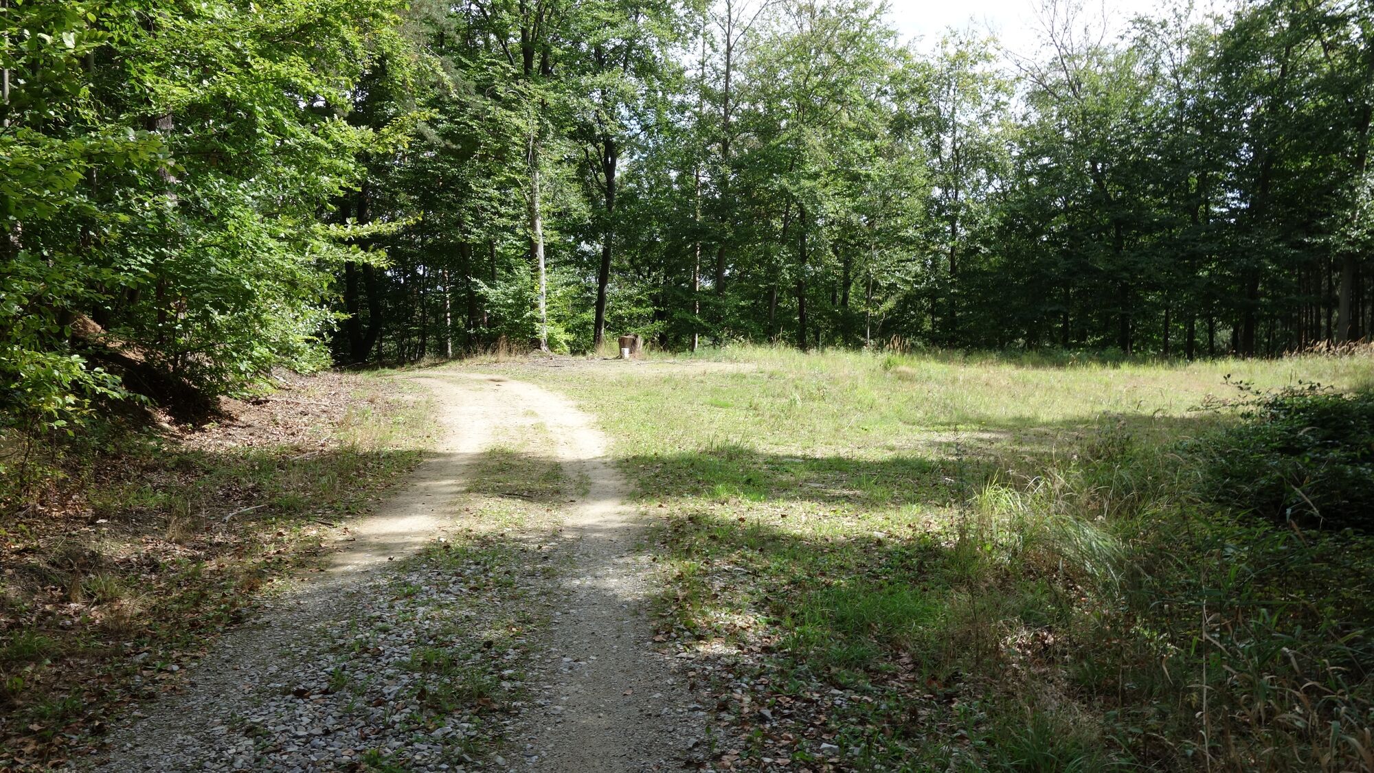
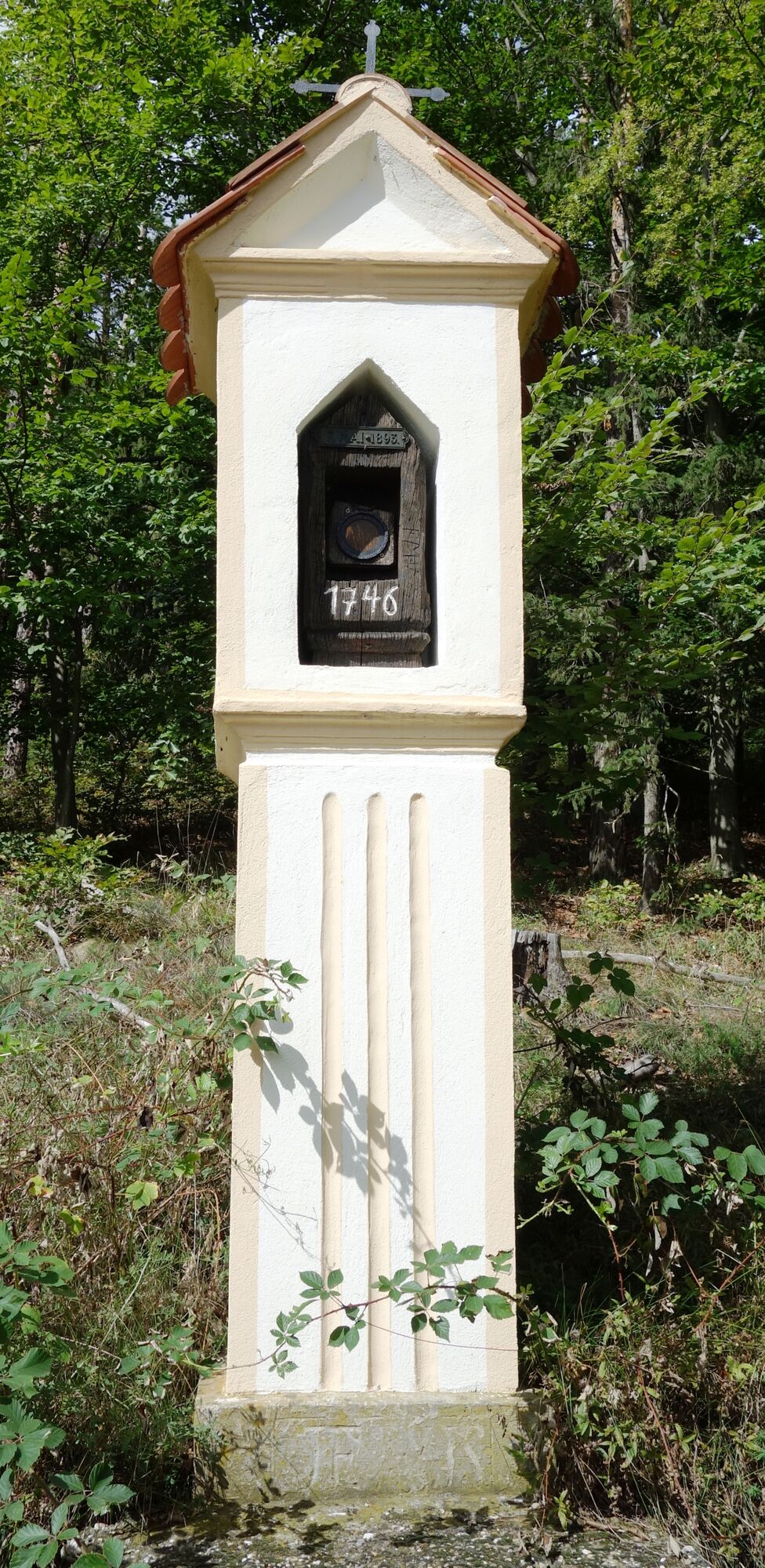
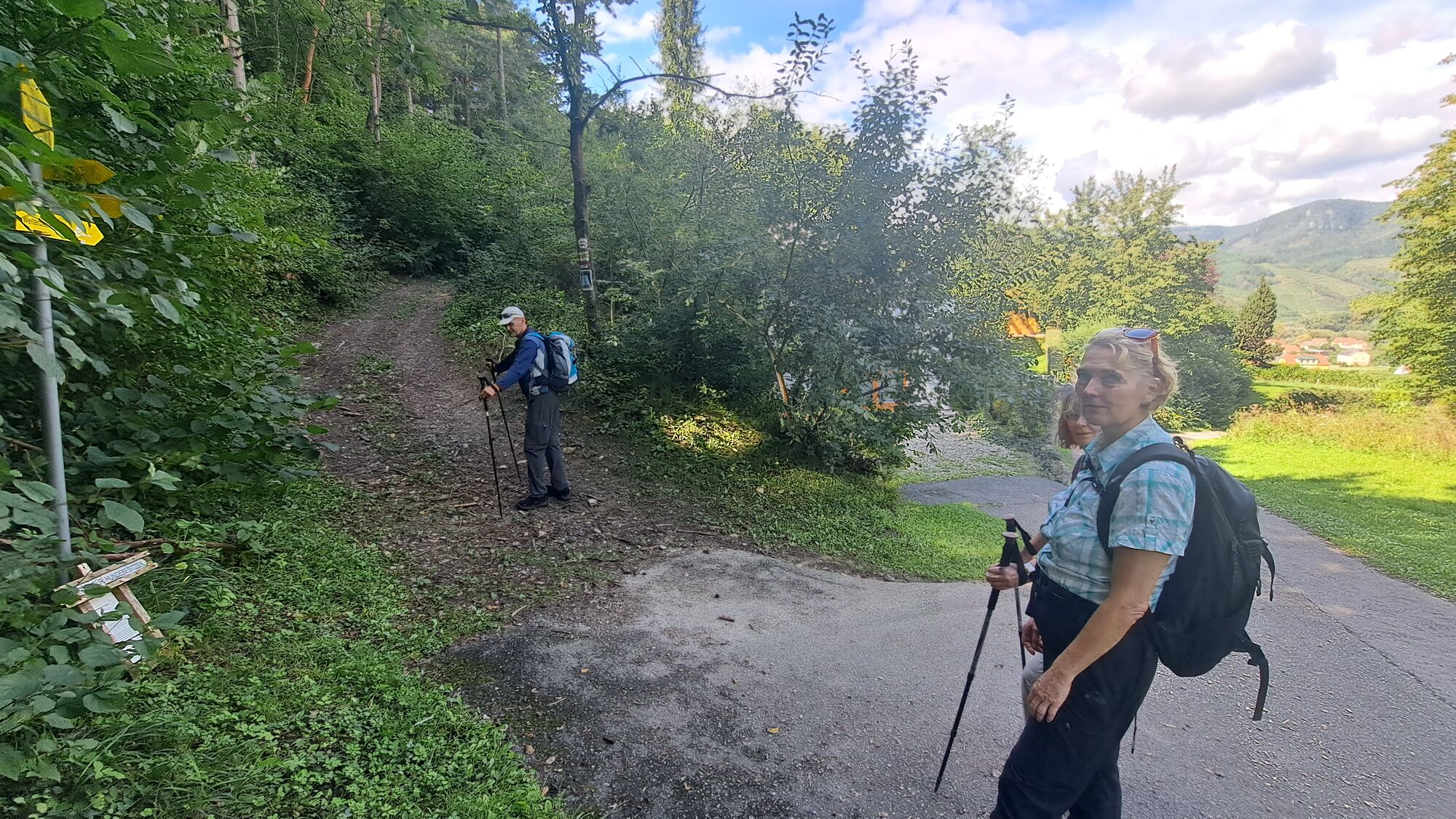
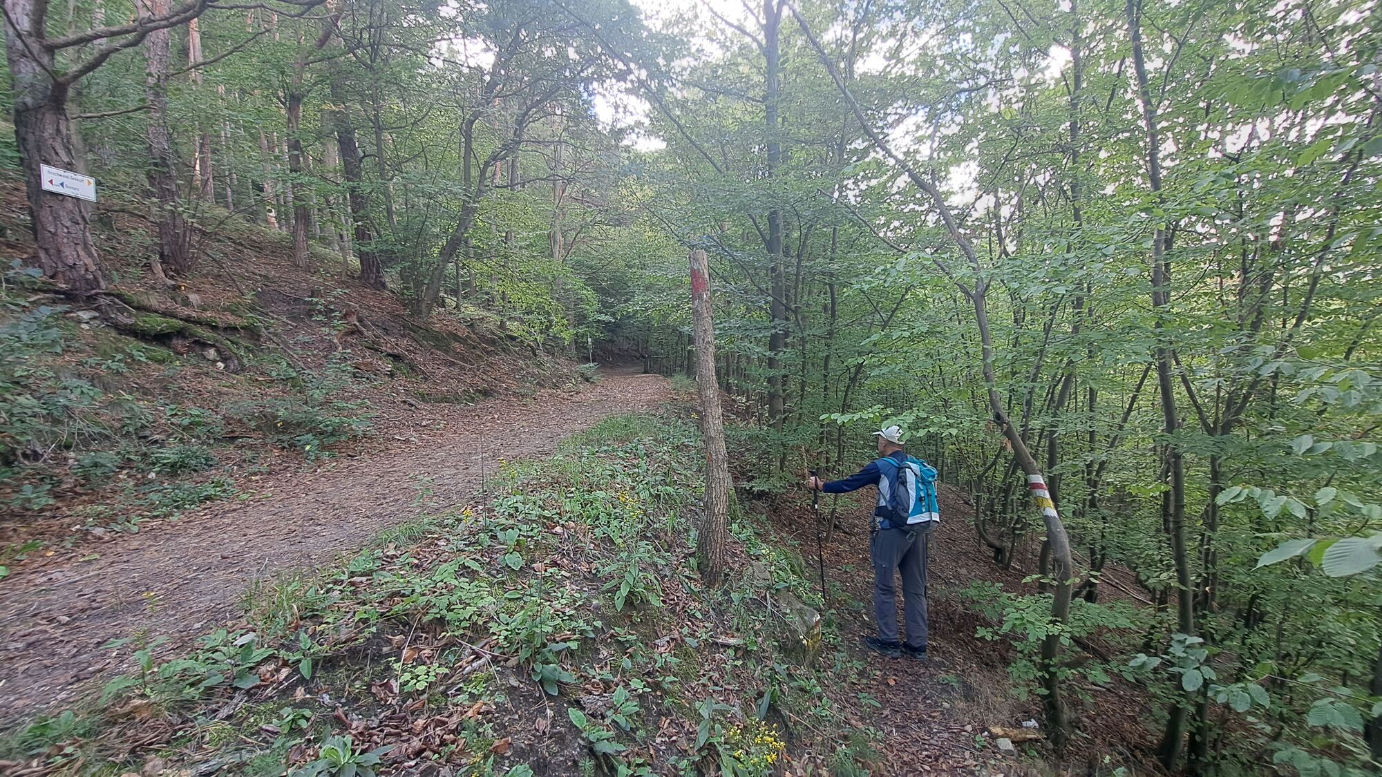
Rundwanderung: St. Lorenz, Fahnenwand, Hirschwand, Seekopfwarte, Rotes Kreuz, Rührsdorfer Graben St. Lorenz
- Vaikeus
-
tapa
- Arviointi
-
- Lähtöpiste
-
Kleiner Parkplatz an der B33 oder die Bushaltestelle nahe Kirche.
- Reitti
-
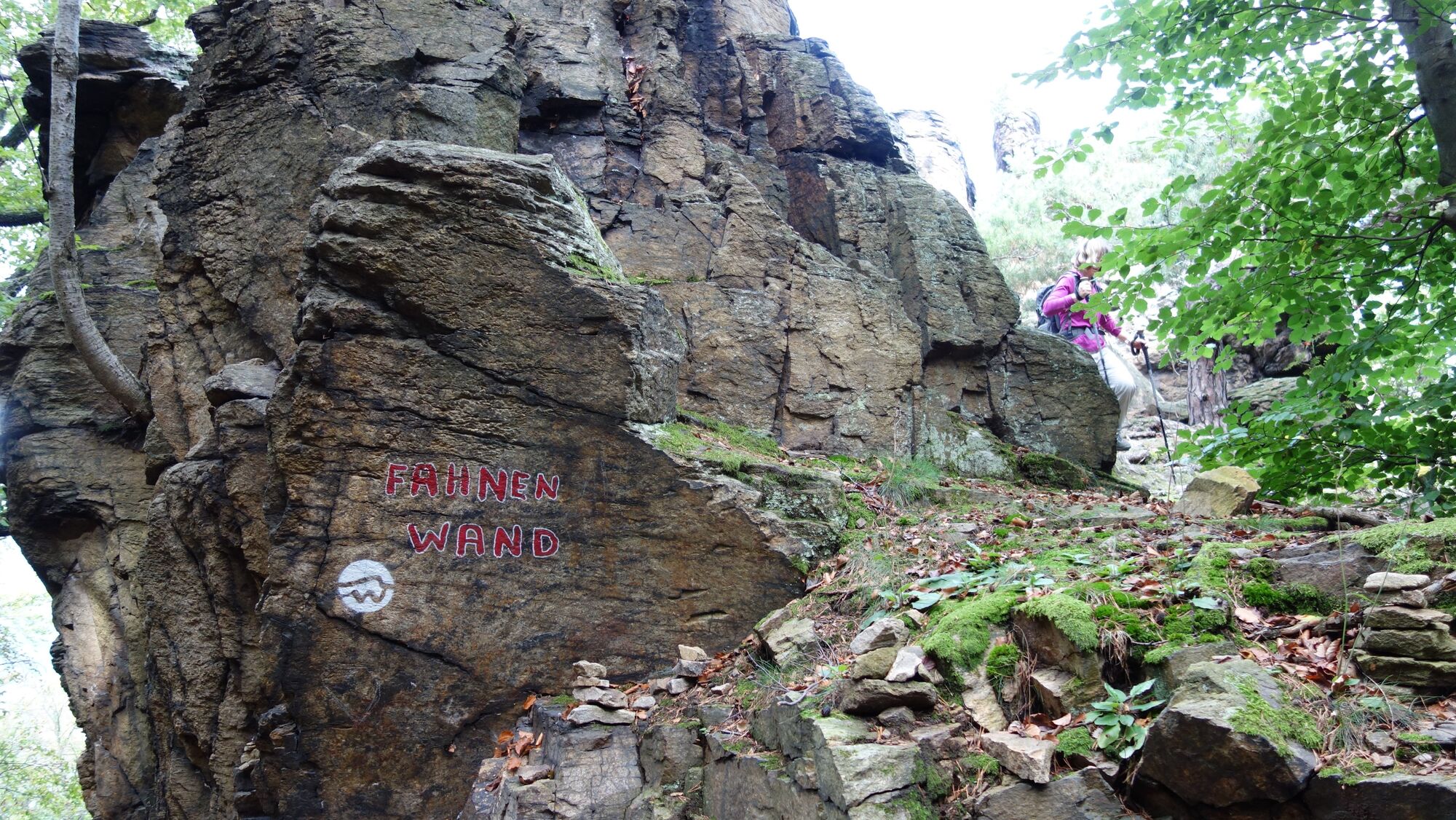
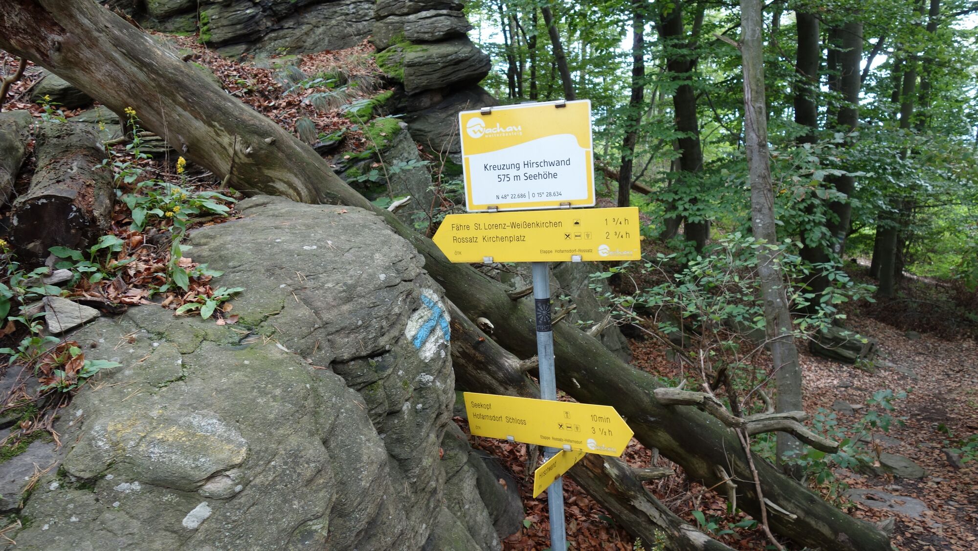
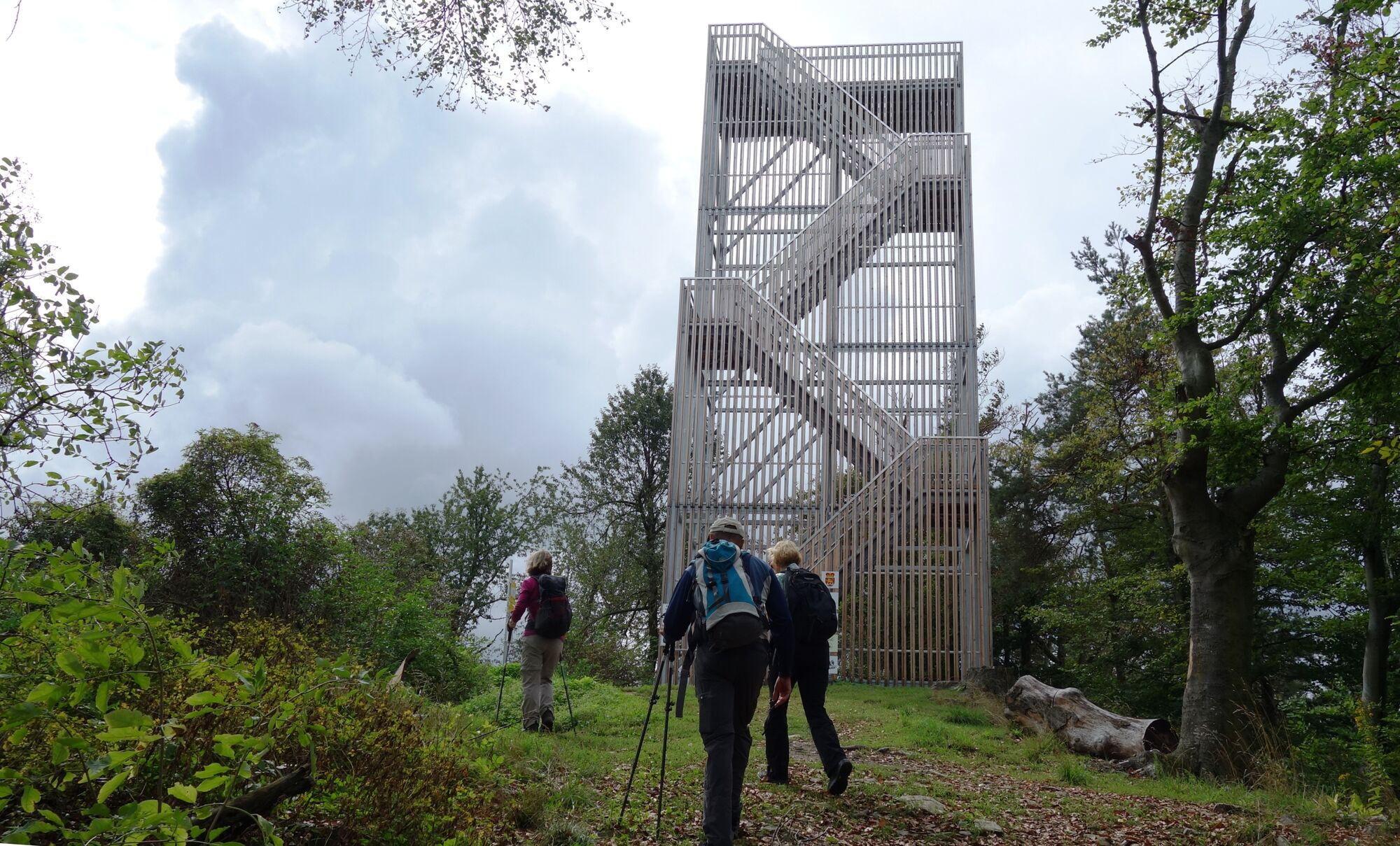
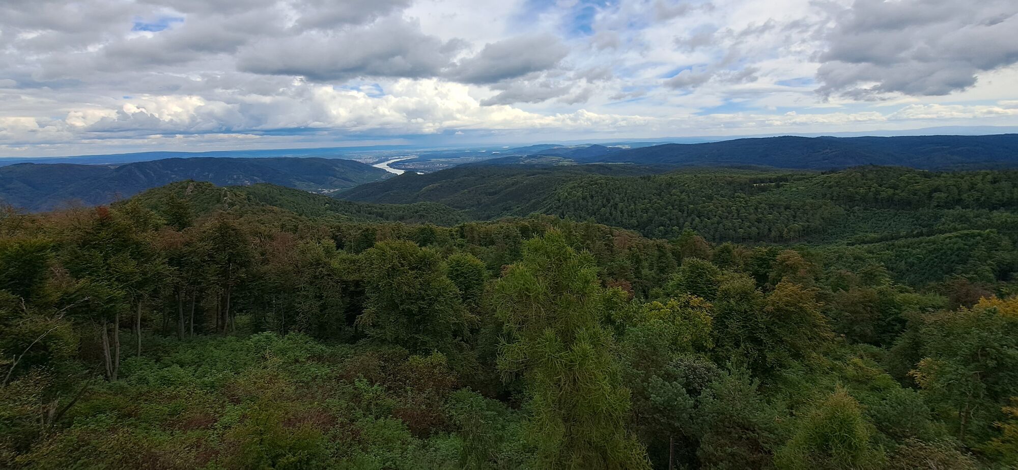
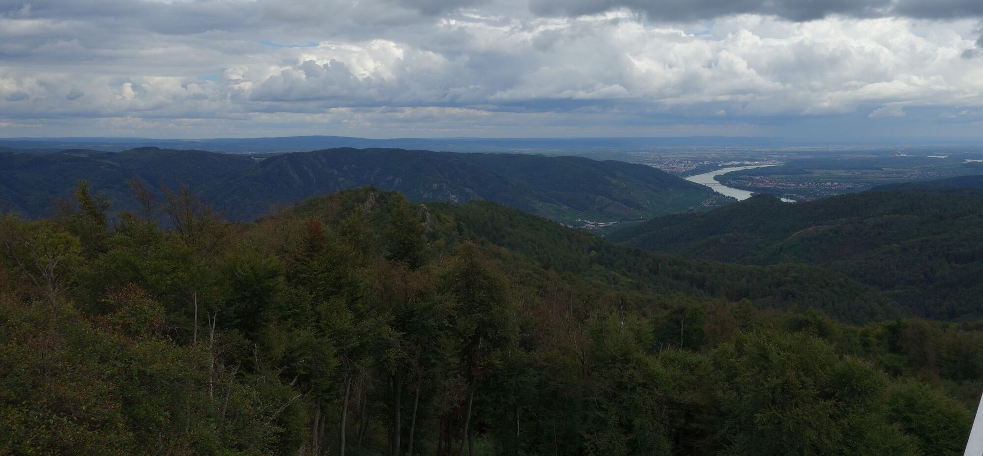
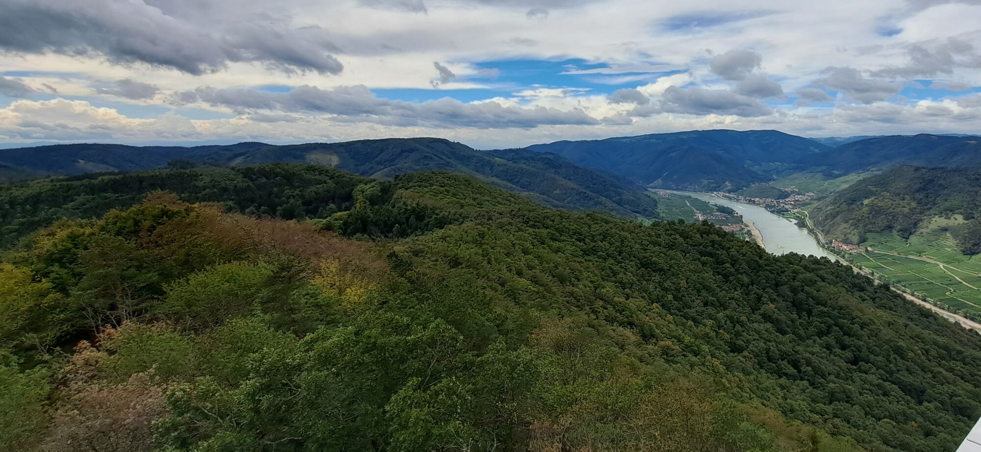
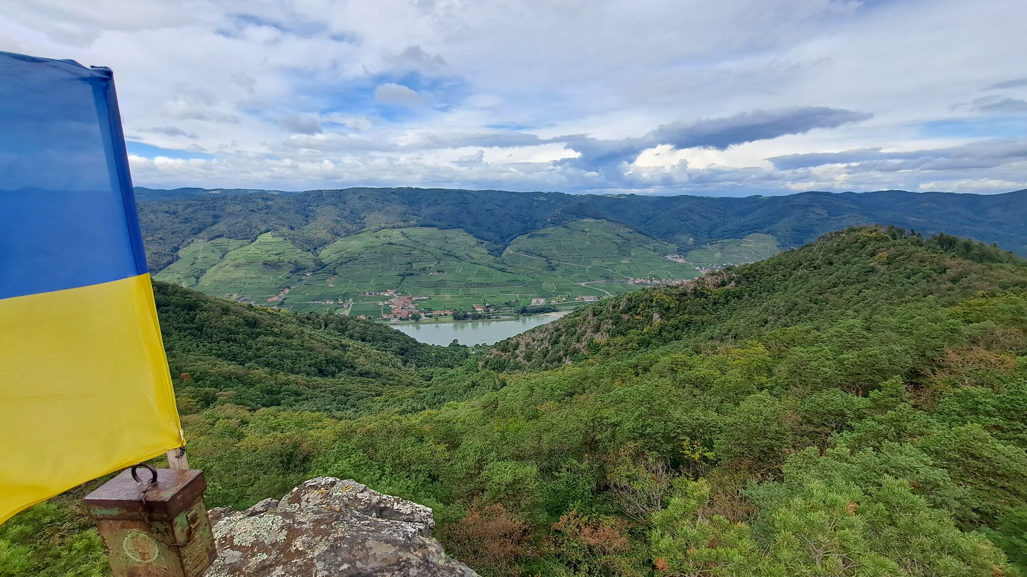
Sankt Lorenz0,0 kmFahnenwand1,7 kmSeekopfwarte4,6 kmSeekopf (671 m)4,6 kmHirschwand (625 m)5,5 kmSankt Lorenz9,7 km
- Paras kausi
-
tammihelmimaalishuhtitoukokesäheinäelosyyslokamarrasjoulu
- Korkein kohta
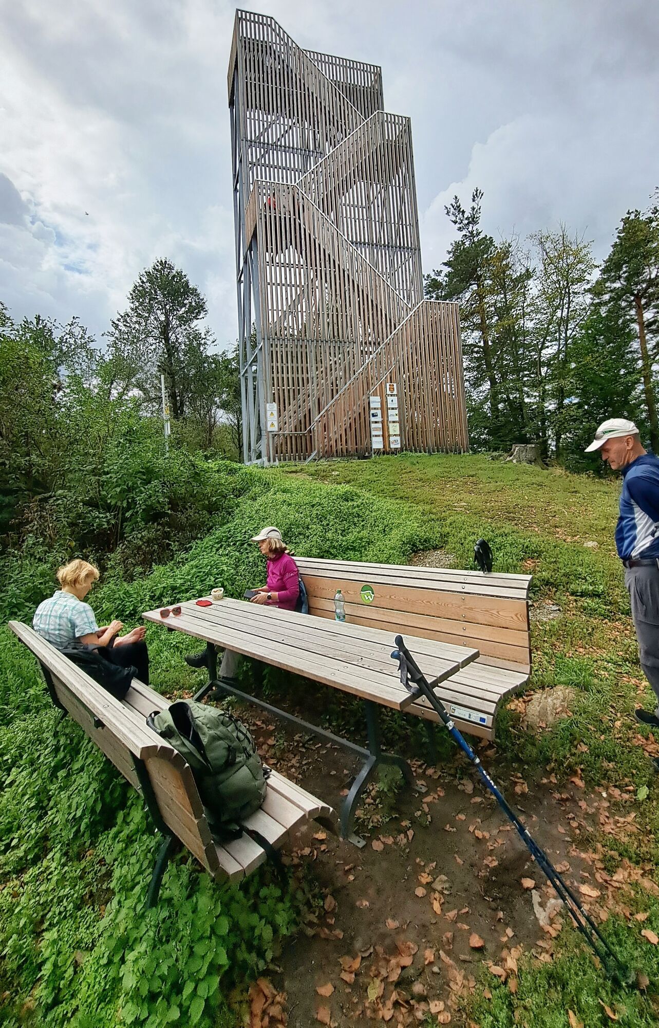
- Seekopf (671 m)
- Kohde
-
Seekopf und zurück Kleiner Parkplatz an der B33 oder die Bushaltestelle nahe Kirche.
- Lepo/Retriitti
-
Gastro in Rührsdorf (nach der Wanderung)
- Kirjallisuus
-
Ausflugs-Erlebnis Wachau, Bernhard Baumgartner/Friedrich Arnold,
Karl Verlag - Karttamateriaali
-
bergfex, amap, kompass, opentopomap


- Lähde
- Erich Helferstorfer
GPS Downloads

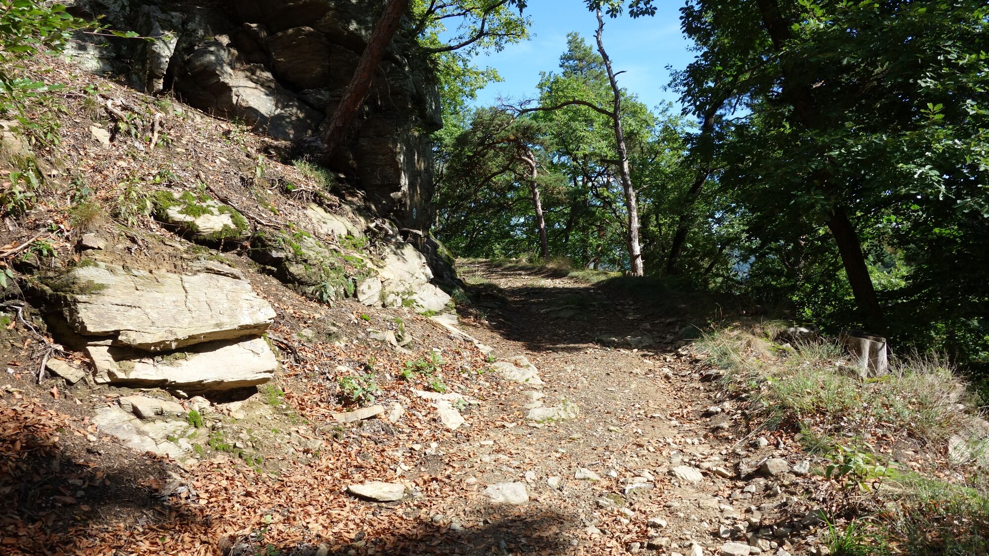
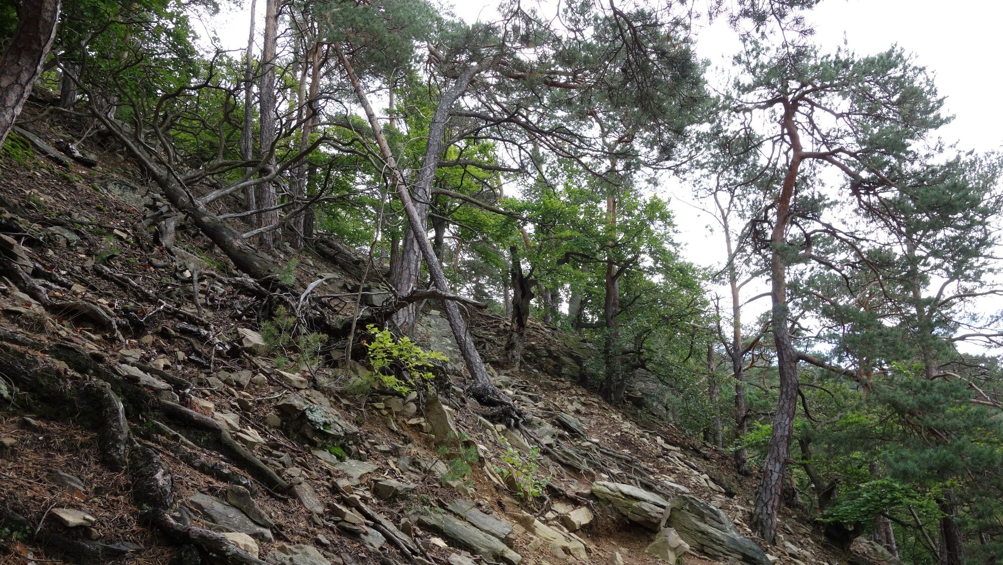
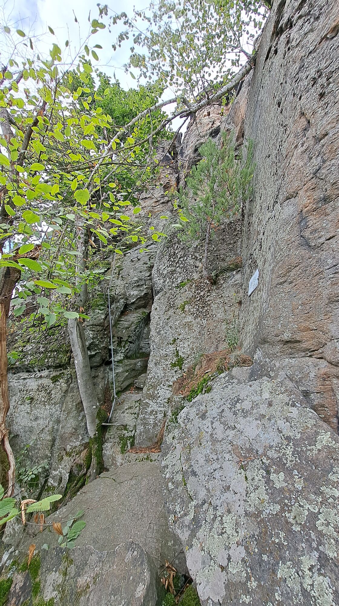
Polun olosuhteet
Asfaltti
(3%)
Sora
(95%)
Niitty
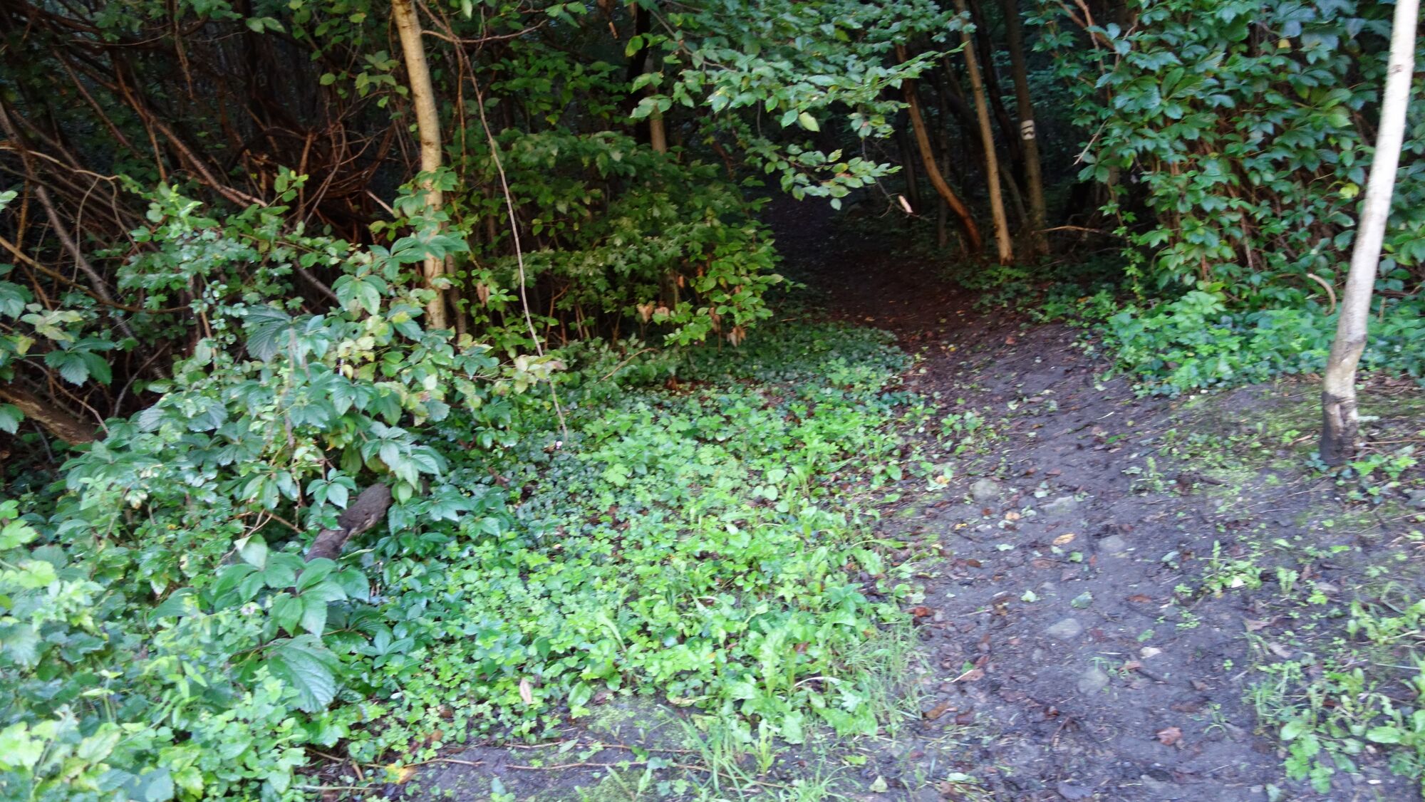
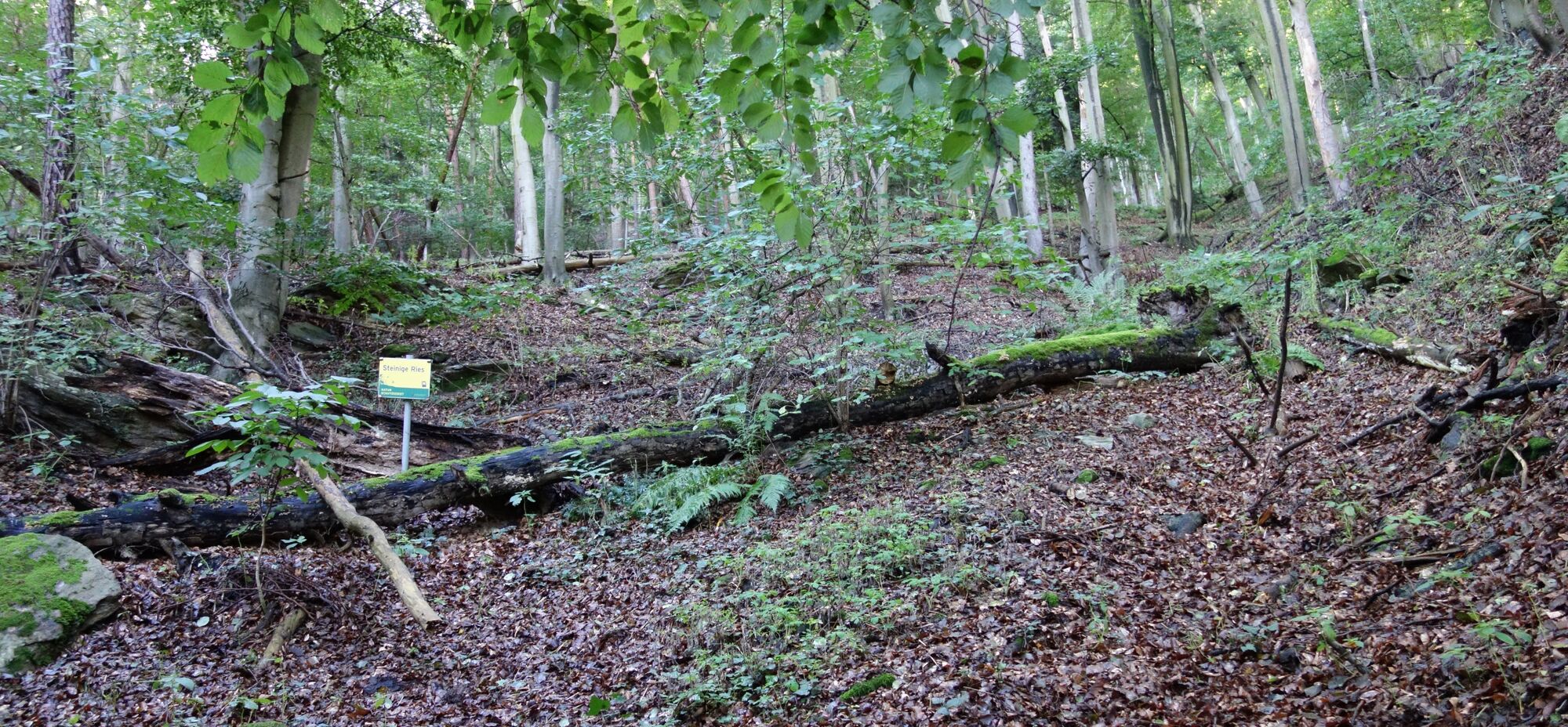
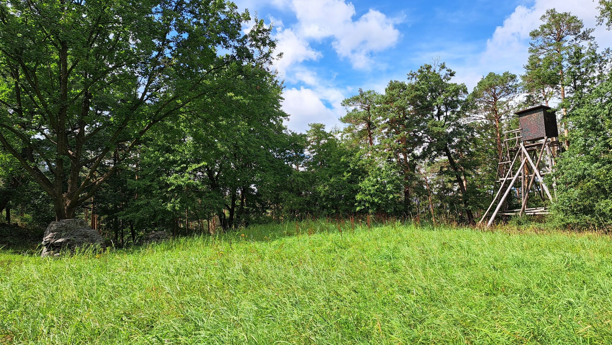
Metsä
(75%)
Kallio
(2%)
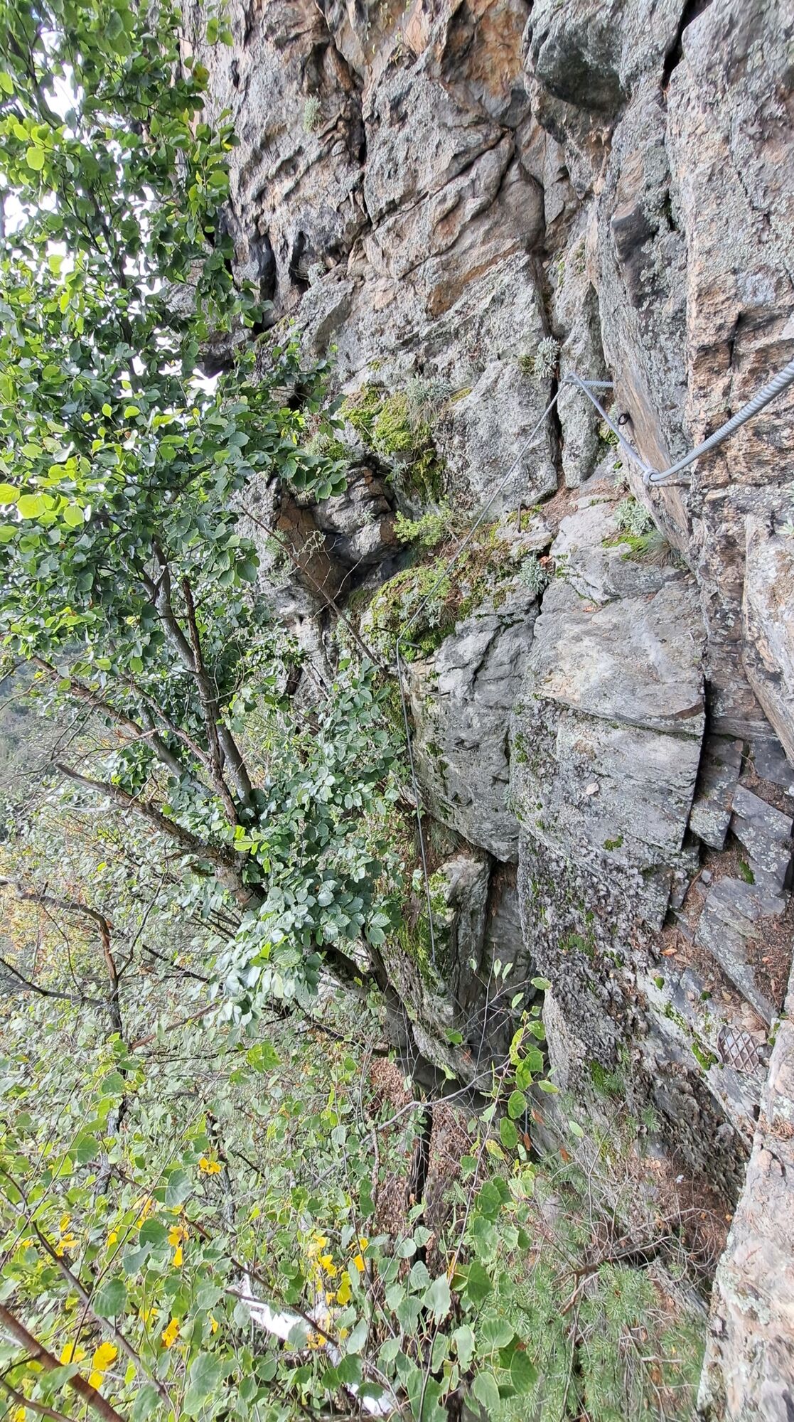
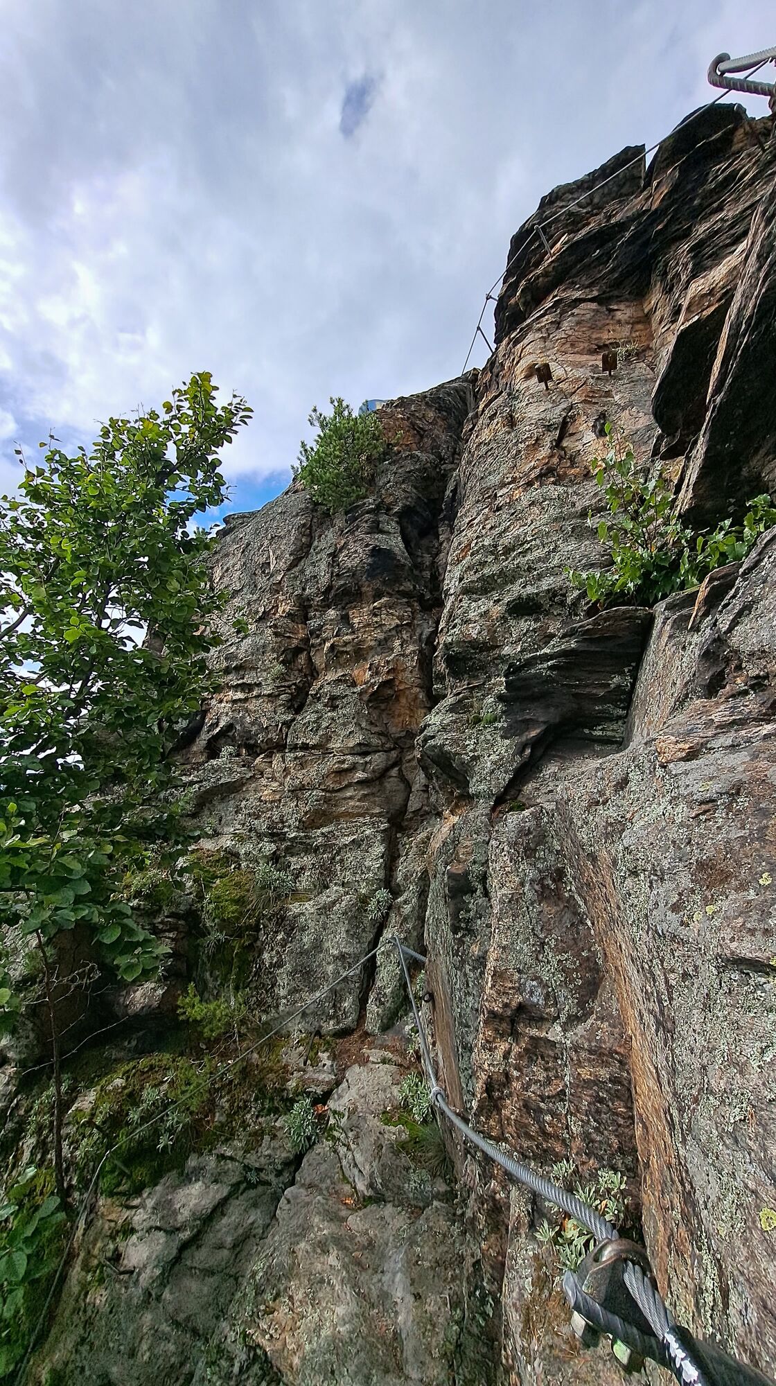
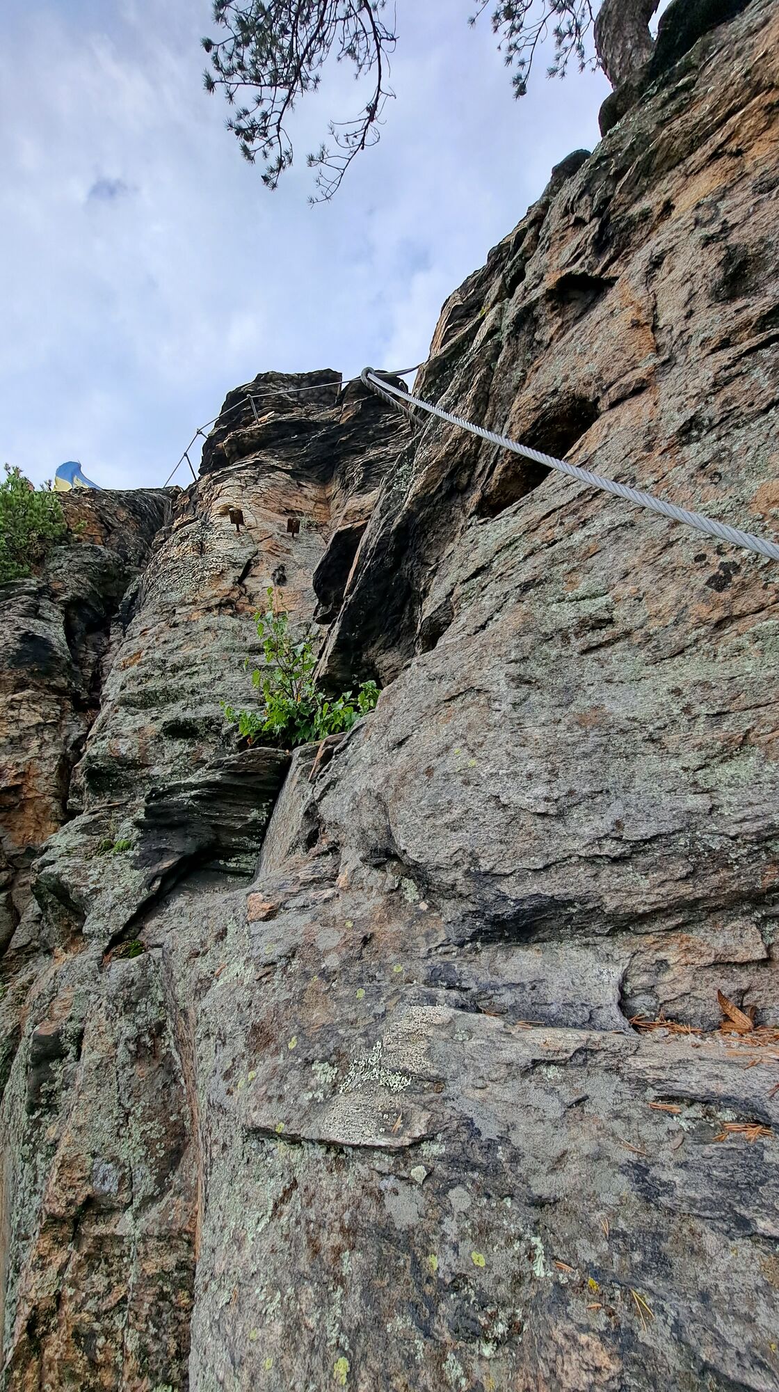
Altistettu
Lisää retkiä alueilla


