© Mostviertel - Mostviertel Tourismus GmbH

- Lyhyt kuvaus
-
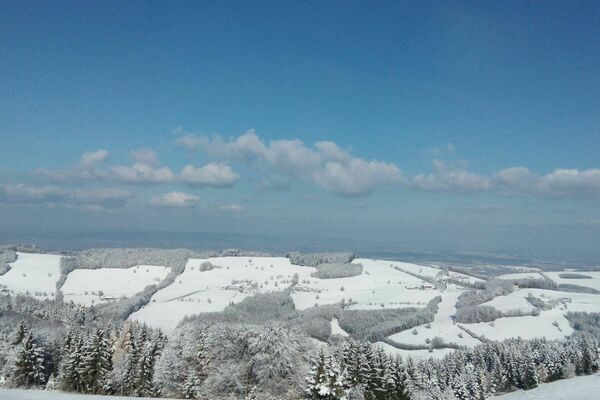
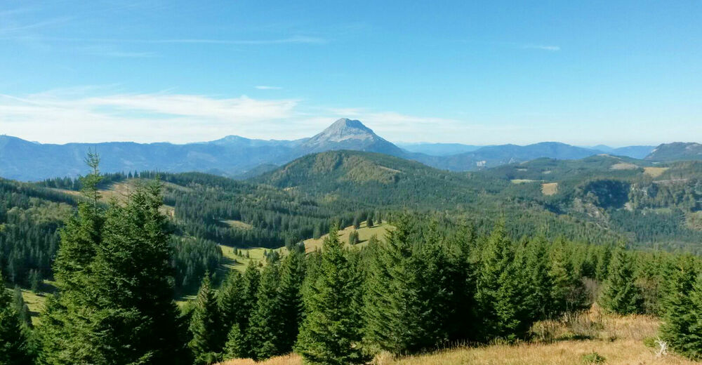
Der lange Anstieg auf die Anna-Alm wird mit einem traumhaften Blick über die Mostviertler Bergwelt belohnt.
- Vaikeus
-
tapa
- Arviointi
-
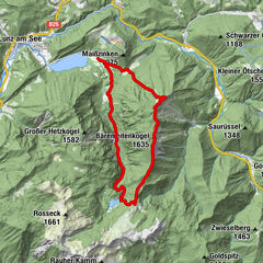
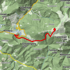
- Reitti
-
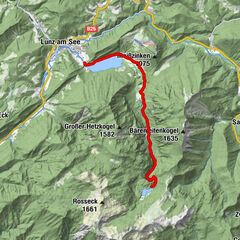
Gösing an der Mariazellerbahn0,1 kmGösing0,2 kmWaldgegend5,0 kmAnna-Alm10,1 kmAlmboden10,2 kmSesselbahn Hennesteck10,3 kmZipline Hennesteck10,3 kmKehre 7 - Reidl Reith13,1 km
- Paras kausi
-
tammihelmimaalishuhtitoukokesäheinäelosyyslokamarrasjoulu
- Korkein kohta
- 1.290 m
- Kohde
-
Parkplatz Annaberger Lifte, Bus-Haltestelle Reidlkehre
- Korkeusprofiili
-


- Kirjoittaja
-
Kiertue Gösing - Wastl am Wald - Hennesteck - Annaberg käyttää outdooractive.com toimitettu.
GPS Downloads


Yleistä tietoa
Virvokepysäkki
Lupaava
Lisää retkiä alueilla
-
Mostviertel
2470
-
Mariazellerland
1506
-
Gösing an der Mariazellerbahn
415