- Lyhyt kuvaus
-
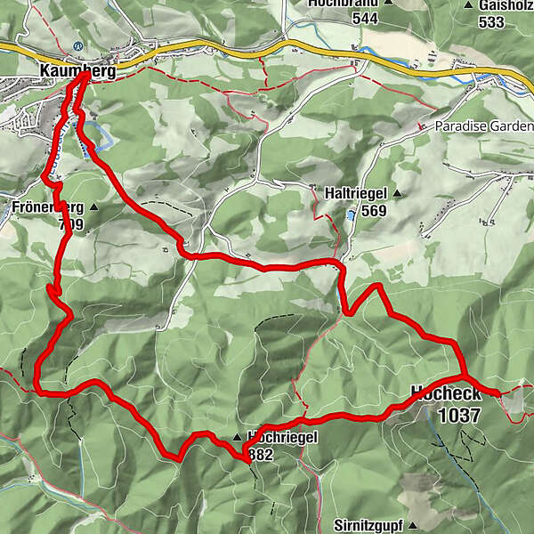
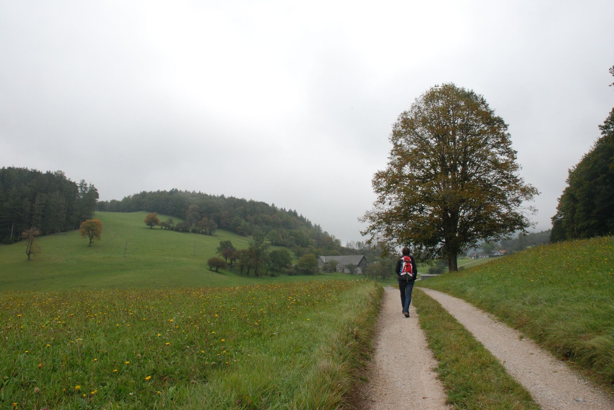
Kaumberg is the westernmost district in Triestingtal. It is situated close to the Gerichtsberg, which marks the border between Triestingtal and Gölsental. The difference between the rolling hills of the Vienna Woods and the foothills of the Alps is already clearly visible. To the north and east of the town of Kaumberg, shorter hikes through hilly landscapes are possible. These are marked on hiking maps of the Kaumberg district, and are referred to as the “Froschweg”, “Hahnweg”, “Burgweg”, “Hirschweg” and “Fuchsweg” routes. The ascent to the Hocheck (1,037 m above sea level) from Kaumberg – the easternmost 1000 m peak in the Lower Austrian alpine foothills – and the subsequent long hike over the 7 elevations on the ridge are physically challenging. This tour offers stunning views of the countryside both from the Meyringwarte lookout post at the summit of the Hocheck, and as you hike along the ridge. There is plenty to see in the town Kaumberg itself, including the barrel fountain in the main square (Hauptplatz), the Gothic parish church of St Michael, and the Heimatmuseum (local history museum). A particular highlight of the district, and a very popular day trip destination, are the Araburg Castle ruins, which can be spotted from afar.
- Vaikeus
-
vaikea
- Arviointi
-
- Reitti
-
Zum schwarzen BärenKaumbergKirchenwirtMeyringer-Warte (1.037 m)6,6 kmHocheck-Schutzhaus6,6 kmHocheck (1.037 m)6,8 kmWolfgang Lang Aussicht6,8 kmKaumberg16,2 kmKirchenwirt16,3 kmZum schwarzen Bären16,4 km
- Paras kausi
-
tammihelmimaalishuhtitoukokesäheinäelosyyslokamarrasjoulu
- Korkein kohta
- 1.032 m
- Kohde
-
Kaumberg, Hauptplatz
- Korkeusprofiili
-

- Kirjoittaja
-
Kiertue From Kaumberg to the alpine Hocheck käyttää outdooractive.com toimitettu.


Yleistä tietoa
-
Wienerwald
4219
-
Elsbeere-Wienerwald
1218
-
Kaumberg
466