© Schachinger
© Schachinger
- Lyhyt kuvaus
-
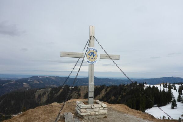
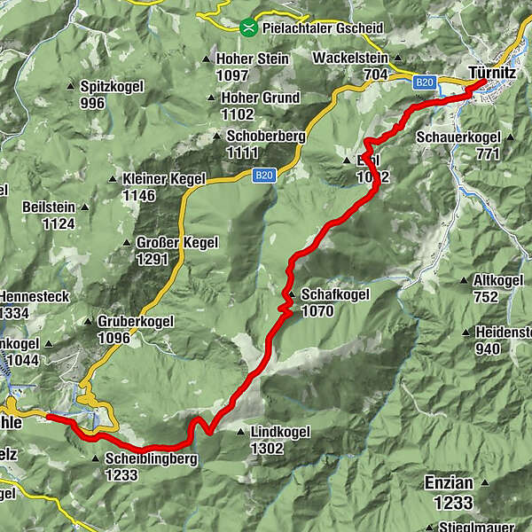
The hiking trail from Annaberg past Tirolerkogel and Eibl to Türnitz awaits you with magnificent flora and a spectacular panoramic view. Especially in autumn, in clear conditions, one can see the Wachau and the Gesaeuse.
- Vaikeus
-
tapa
- Arviointi
-
- Reitti
-
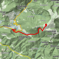
Annaberg0,0 kmSt. Anna0,1 kmAnnaberg (976 m)0,2 kmAm Gscheid2,1 kmTirolerkogel (1.380 m)4,4 kmKarnerhofspitze (1.124 m)8,4 kmJohannes-Kapelle14,4 kmTürnitz14,5 km
- Paras kausi
-
tammihelmimaalishuhtitoukokesäheinäelosyyslokamarrasjoulu
- Korkein kohta
- 1.356 m
- Korkeusprofiili
-


- Kirjoittaja
-
Kiertue Annaberg - Tirolerkogel - Eibl - Türnitz käyttää outdooractive.com toimitettu.
GPS Downloads


Yleistä tietoa
Virvokepysäkki
Lupaava
Lisää retkiä alueilla
-
Mostviertel
2453
-
Pielachtal
1115
-
Annaberg
433