© Waldviertel Tourismus - Destination Waldviertel

© Gemeinde Bärnkopf

© Gemeinde Bärnkopf

© Gemeinde Bärnkopf
© Gemeinde Bärnkopf


- Lyhyt kuvaus
-
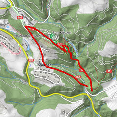
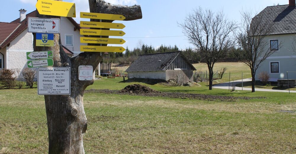
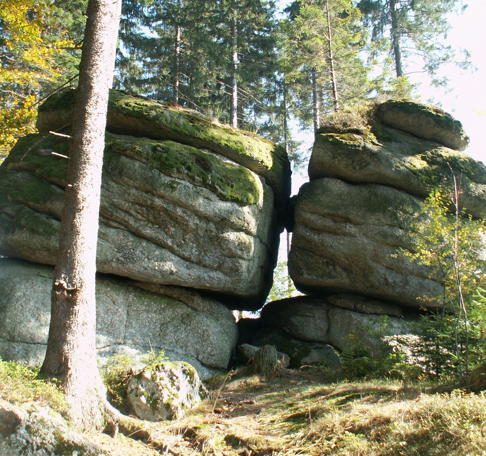
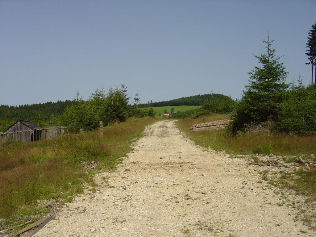
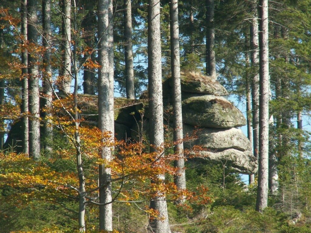
Opfersteinweg - Bärnkopf, Nr. 62
Vorbei am Schlesingerteich, durch kraftvolle, erfrischend grüne Wälder bis zu den imposanten Felsformationen - den Opfersteinen.
- Vaikeus
-
tapa
- Arviointi
-
- Reitti
-
Pfarrkirche St. AnnaBärnkopf0,0 kmUnterbärnkopf4,4 kmEinkehrstube Wackelstein6,0 kmBärnkopf6,2 kmPfarrkirche St. Anna6,2 km
- Paras kausi
-
tammihelmimaalishuhtitoukokesäheinäelosyyslokamarrasjoulu
- Korkein kohta
- 966 m
- Kohde
-
Gegenüber der Kirche
- Korkeusprofiili
-


- Kirjoittaja
-
Kiertue Opfersteinweg Bärnkopf käyttää outdooractive.com toimitettu.
GPS Downloads


Lisää retkiä alueilla
-
Waldviertel
1776
-
Südliches Waldviertel
936
-
Bärnkopf
222