© Gemeinde Laa/Thaya

- Lyhyt kuvaus
-
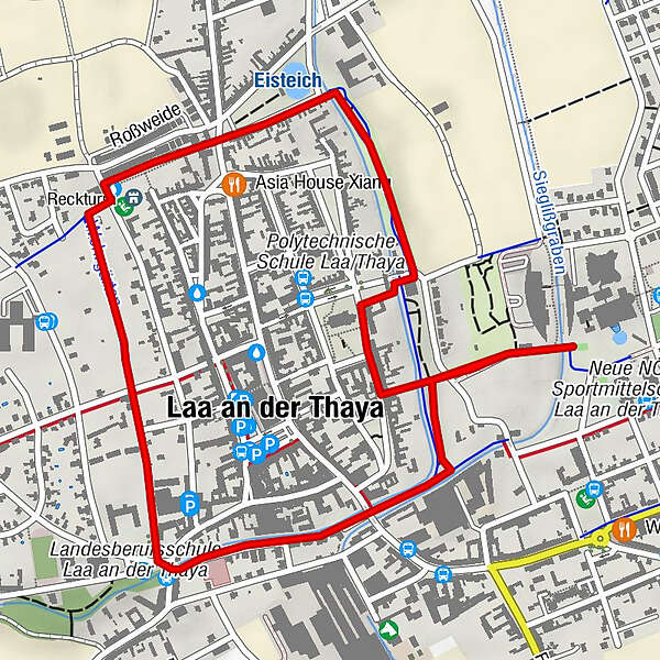
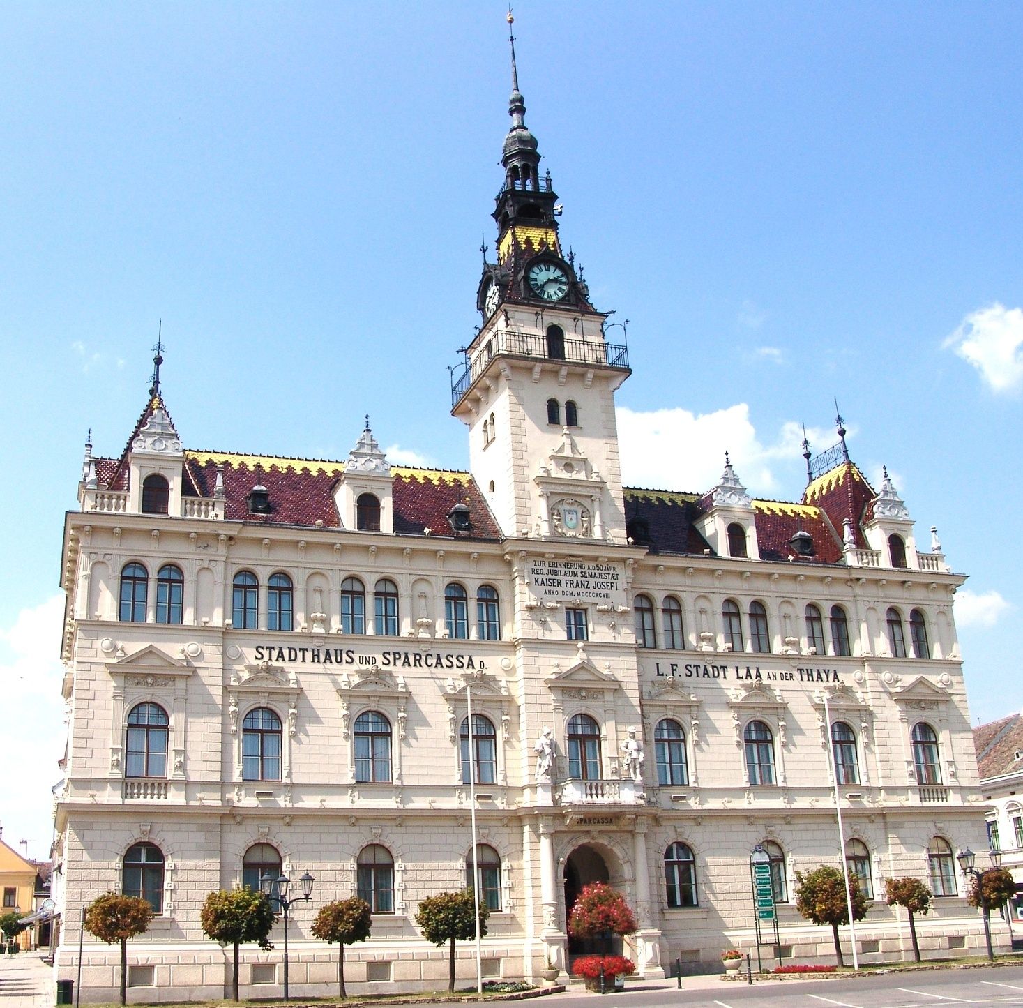
Start / Ziel: Laa/Thaya
- Vaikeus
-
helppo
- Arviointi
-
- Reitti
-
Alter Friedhof1,5 kmSt. Vitus2,8 kmLaa an der Thaya (183 m)3,0 km
- Korkein kohta
- 182 m
- Kohde
-
Thermenhotel Laa/Thaya
- Korkeusprofiili
-

- Kirjoittaja
-
Kiertue »tut gut« Wanderweg Laa/Thaya | Route 1 käyttää outdooractive.com toimitettu.
GPS Downloads


Yleistä tietoa
Virvokepysäkki
Lupaava
Lisää retkiä alueilla
-
Weinviertel
943
-
Land um Laa a. d. Thaya
246
-
Laa an der Thaya
18