


Retkitiedot
7km
203
- 417m
338hm
338hm
02:30h
- Lyhyt kuvaus
-
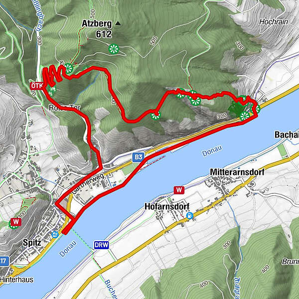
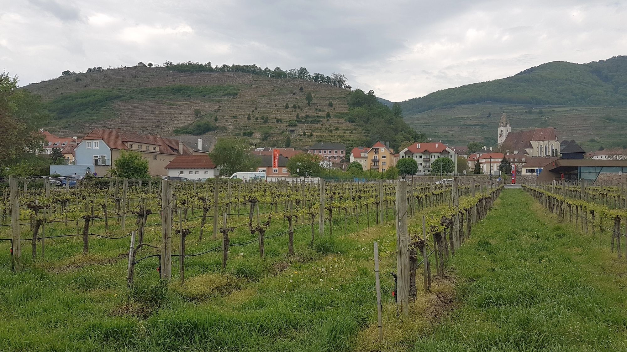
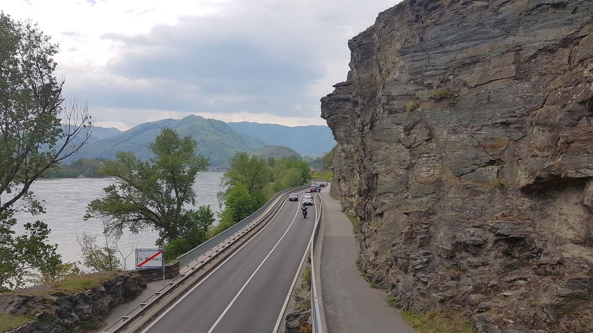
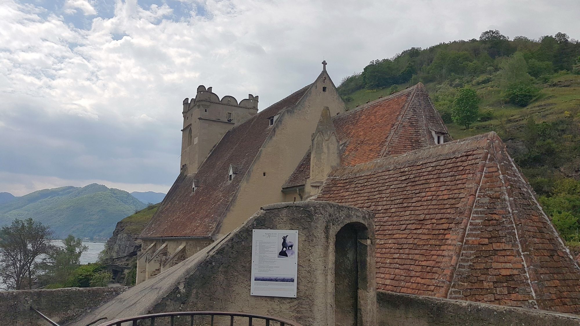
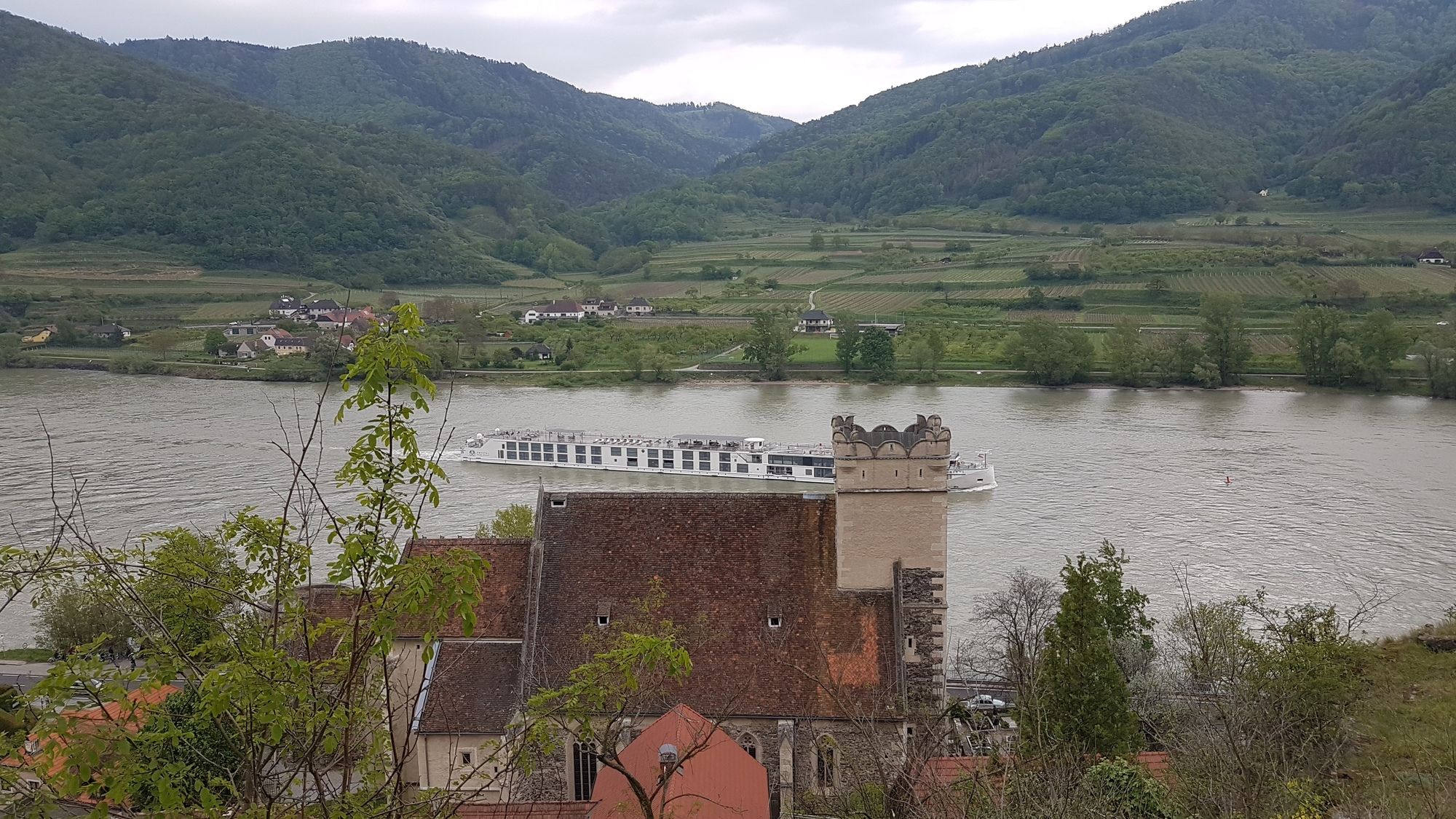
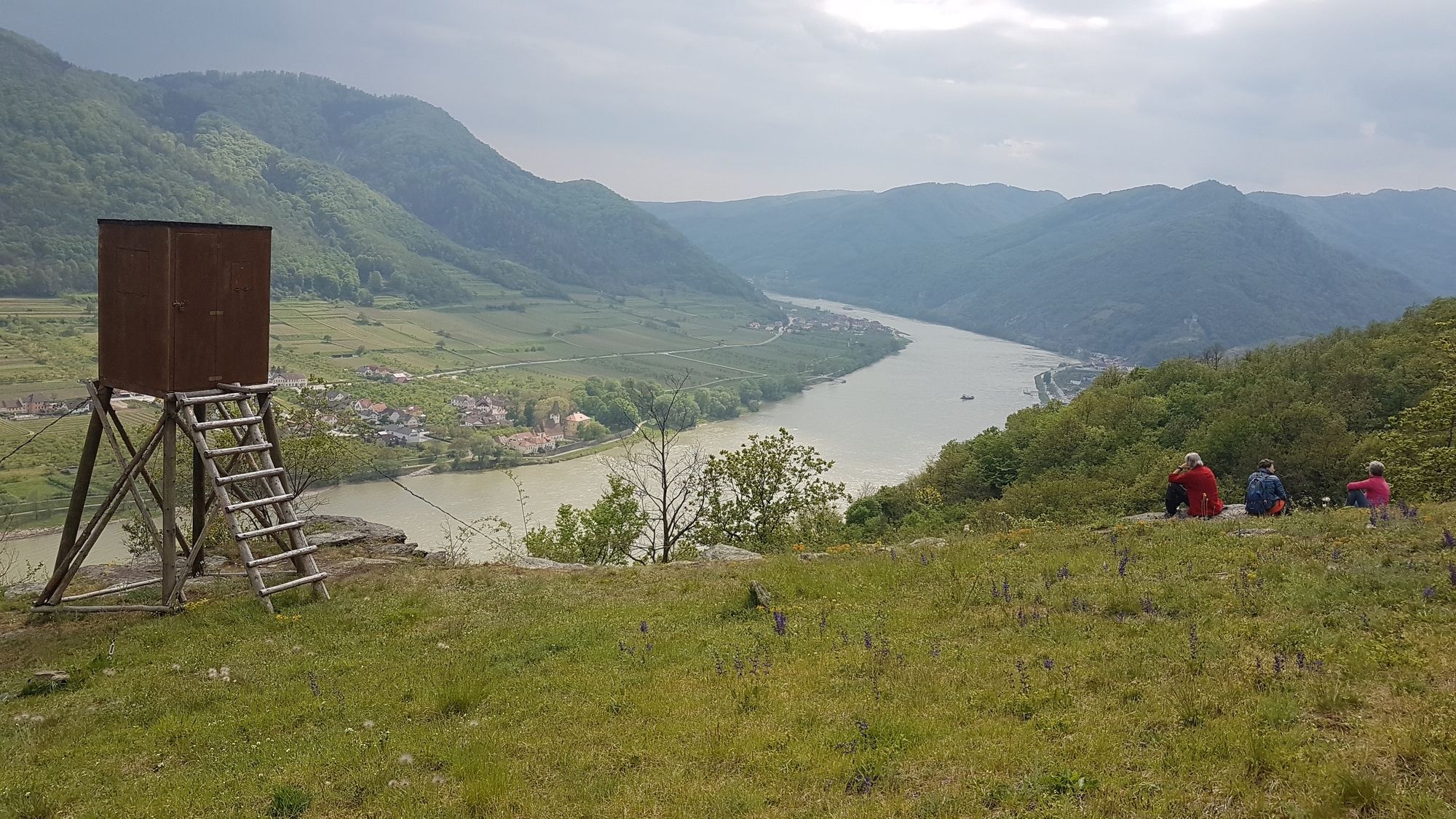
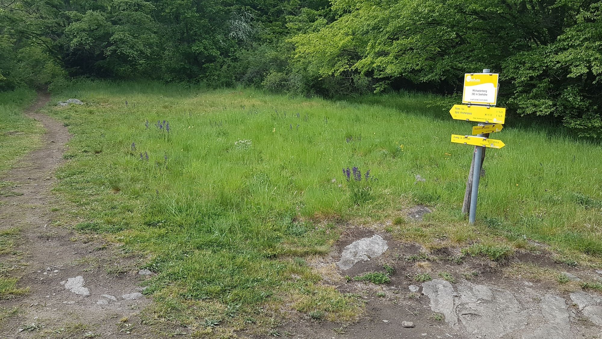
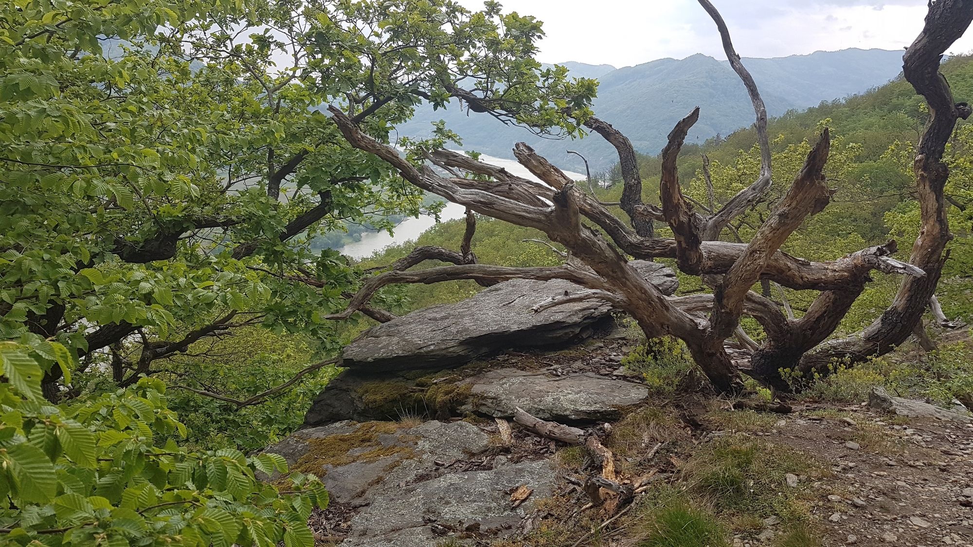
Pfad über den Michaelerberg zw. Spitz an der Donau und St. Michael.
- Vaikeus
-
tapa
- Arviointi
-
- Lähtöpiste
-
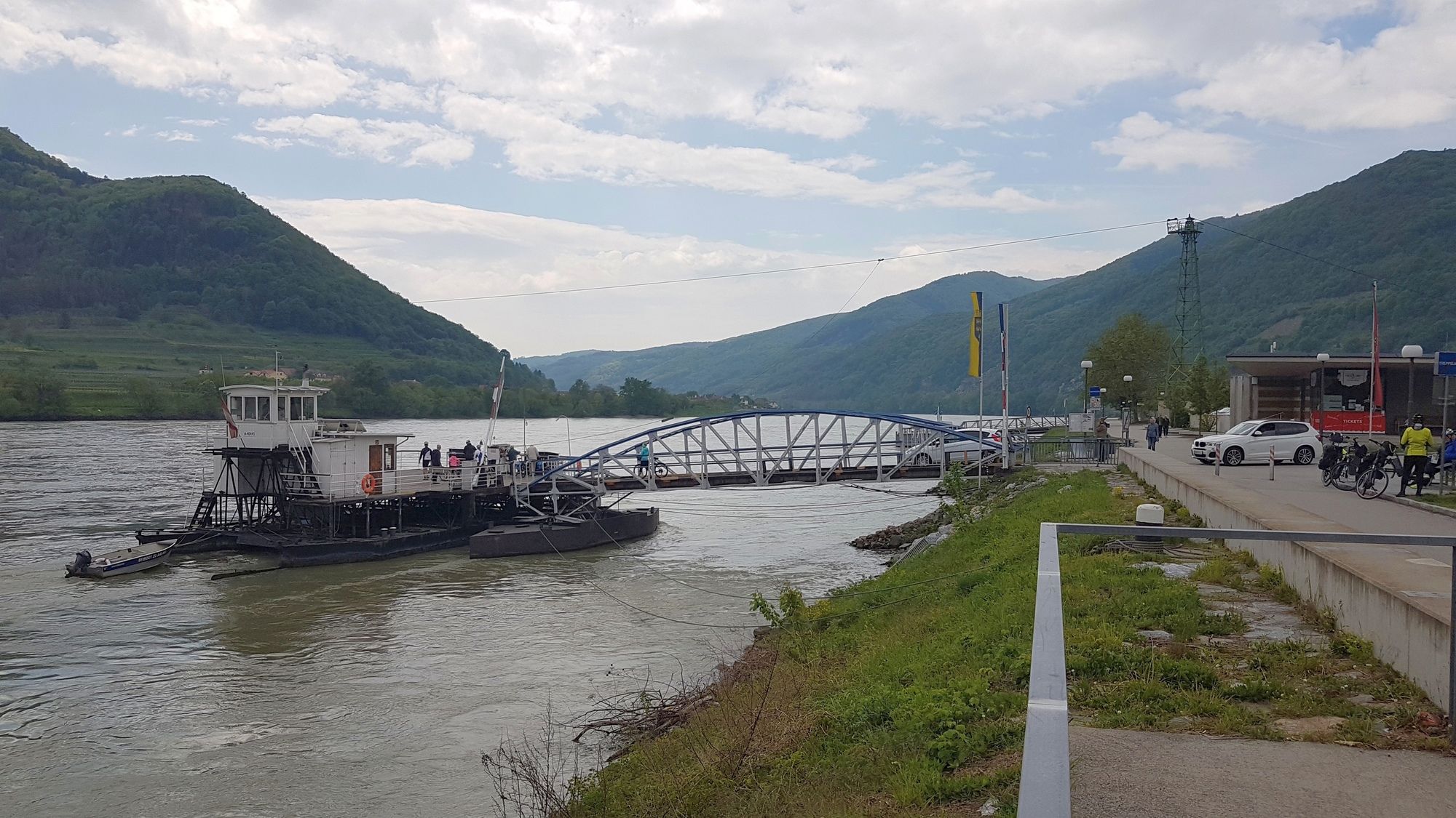
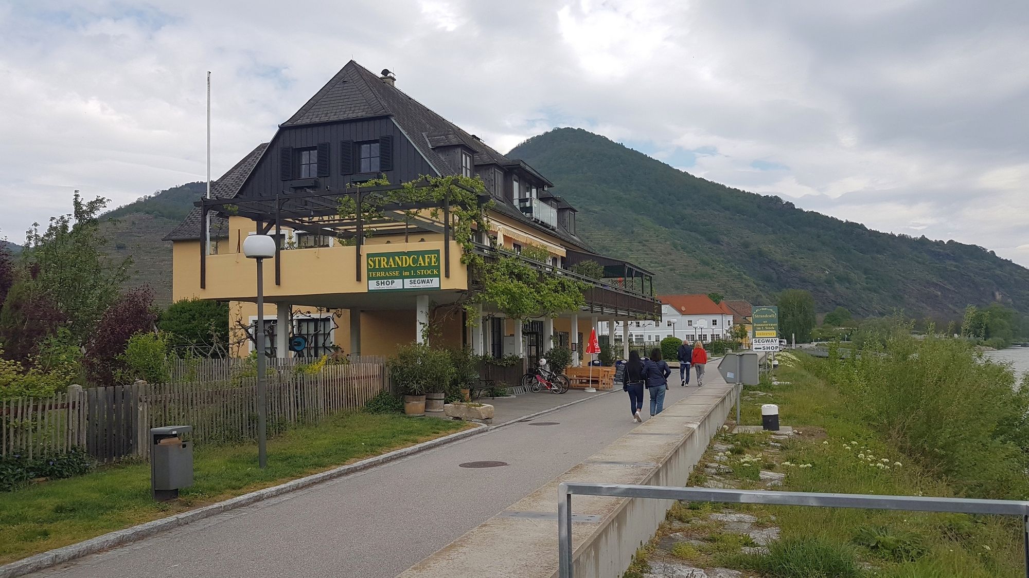
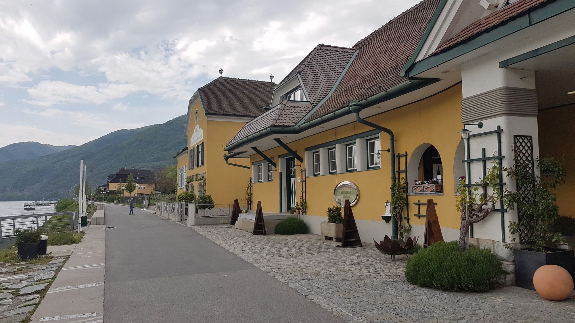
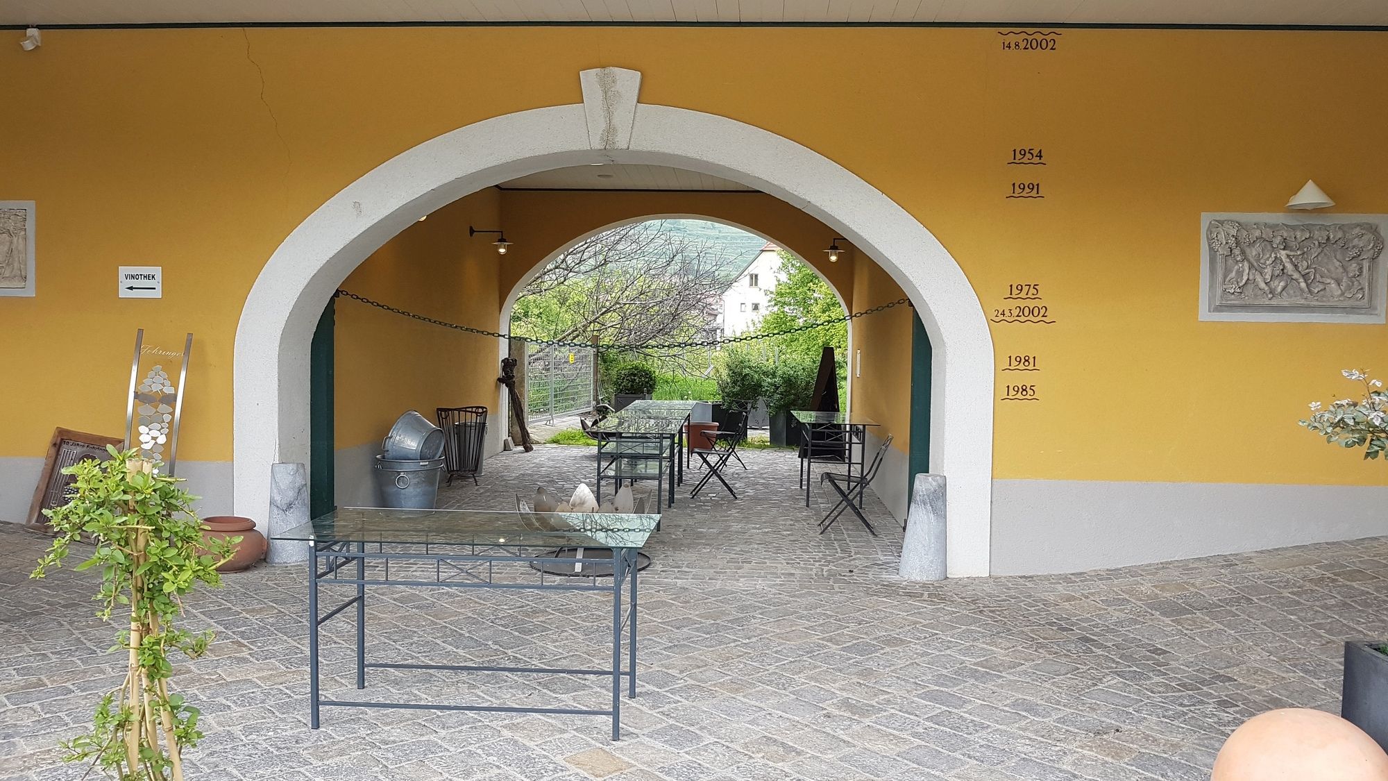
Spitz
- Reitti
-
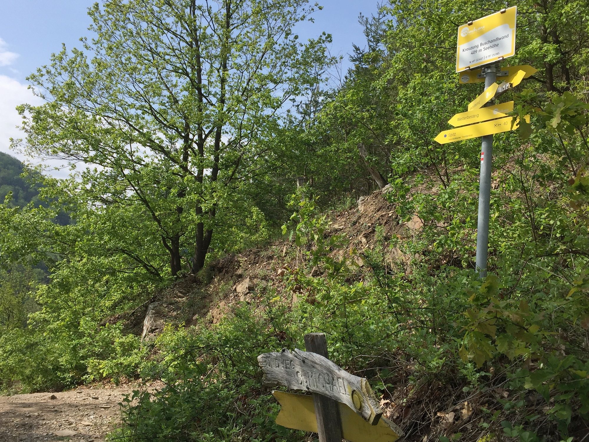
SpitzHofarnsdorf0,5 kmSankt Michael1,4 kmMitterarnsdorf1,5 kmBacharnsdorf1,8 kmWehrkirche St. Michael1,9 kmBergwerkstollen4,1 kmSchacht4,1 kmehem. Sondierstollen4,2 kmSpitz a.d. Donau6,5 kmSpitz6,9 km
- Paras kausi
-
tammihelmimaalishuhtitoukokesäheinäelosyyslokamarrasjoulu
- Korkein kohta
- Michaelerberg (417 m)
- Kohde
-
St. Michael bzw. Michaelerberg
- Lepo/Retriitti
-
Weinschenke in St. Michael und Strandcafé in Spitz, sowie viele weitere Lokale in diesen Orten.
GPS Downloads


Polun olosuhteet
Asfaltti
Sora
Niitty
Metsä
Kallio
Altistettu
Lisää retkiä alueilla
-
Donau Niederösterreich
2289
-
Dunkelsteinerwald
1373
-
Spitz an der Donau
605


