
© hel
© hel
© hel
© hel
© hel
© hel

© hel
© hel
© hel
© hel
Retkitiedot
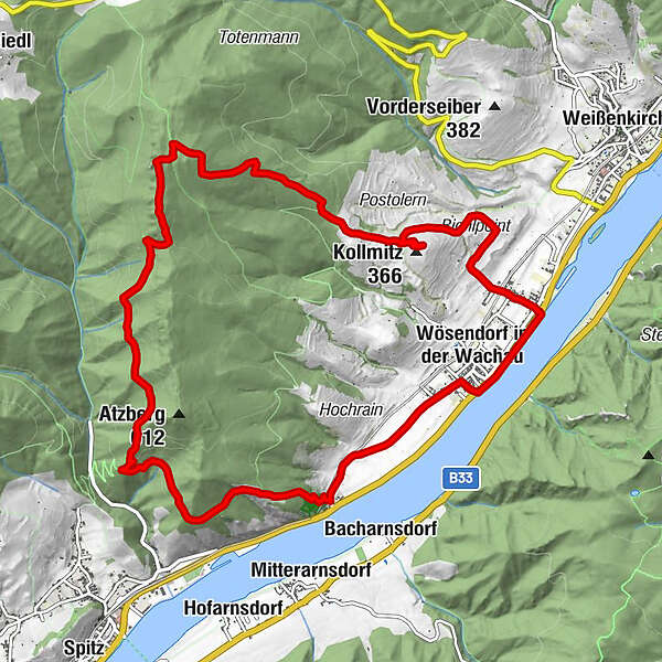
12,6km
199
- 743m
605hm
605hm
04:15h
- Lyhyt kuvaus
-
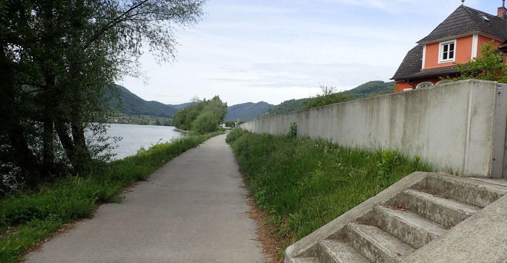
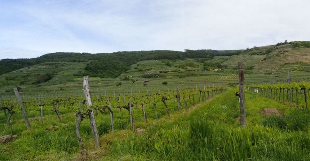
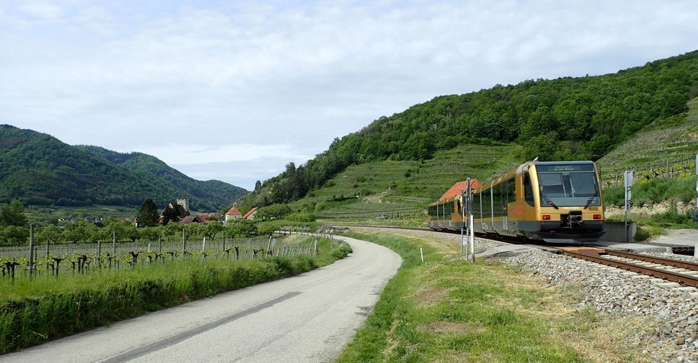
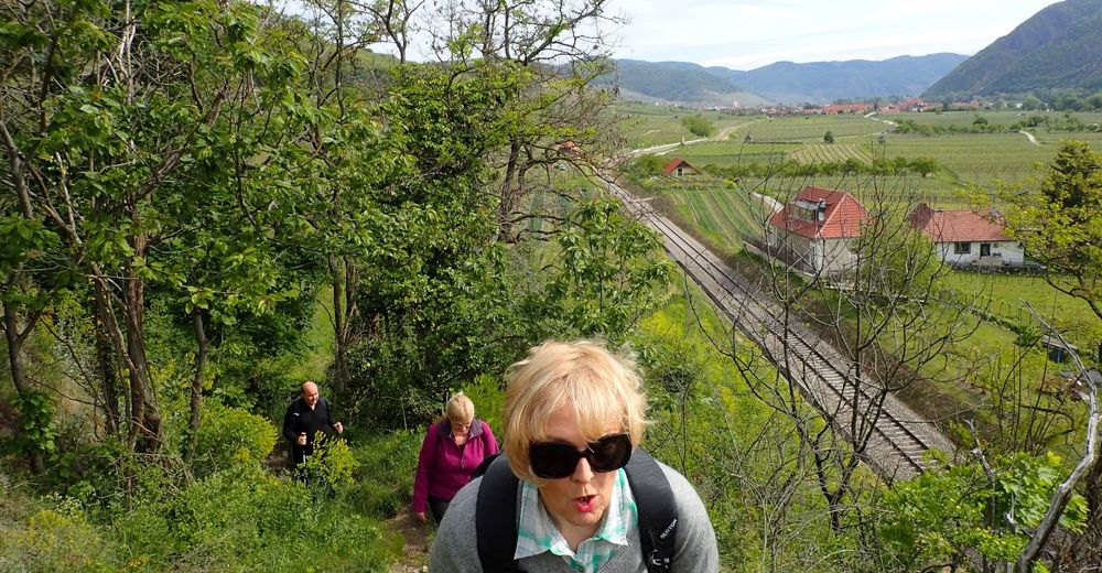
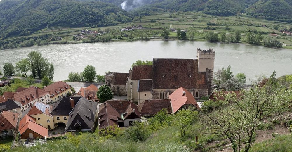
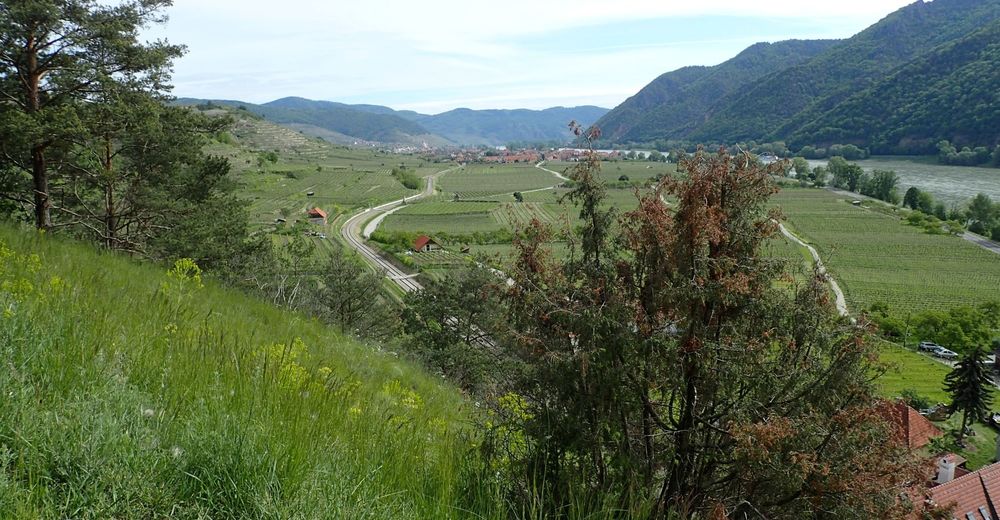
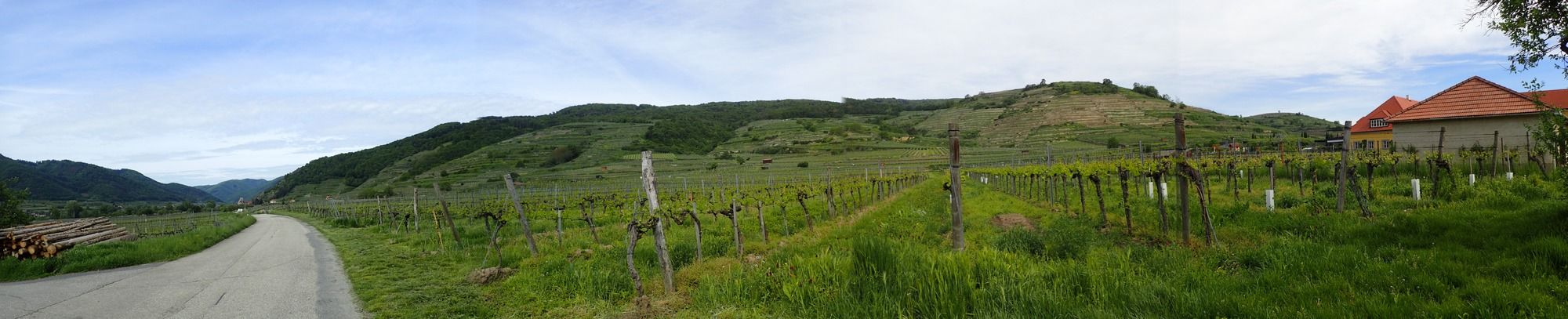
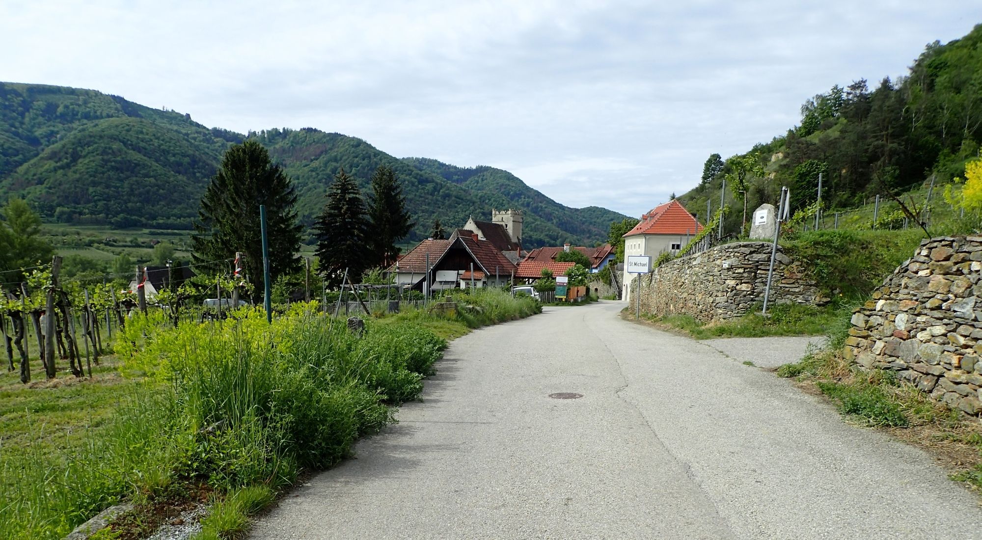
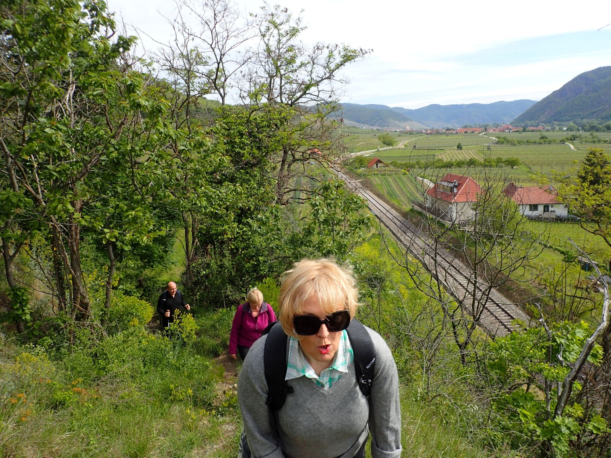
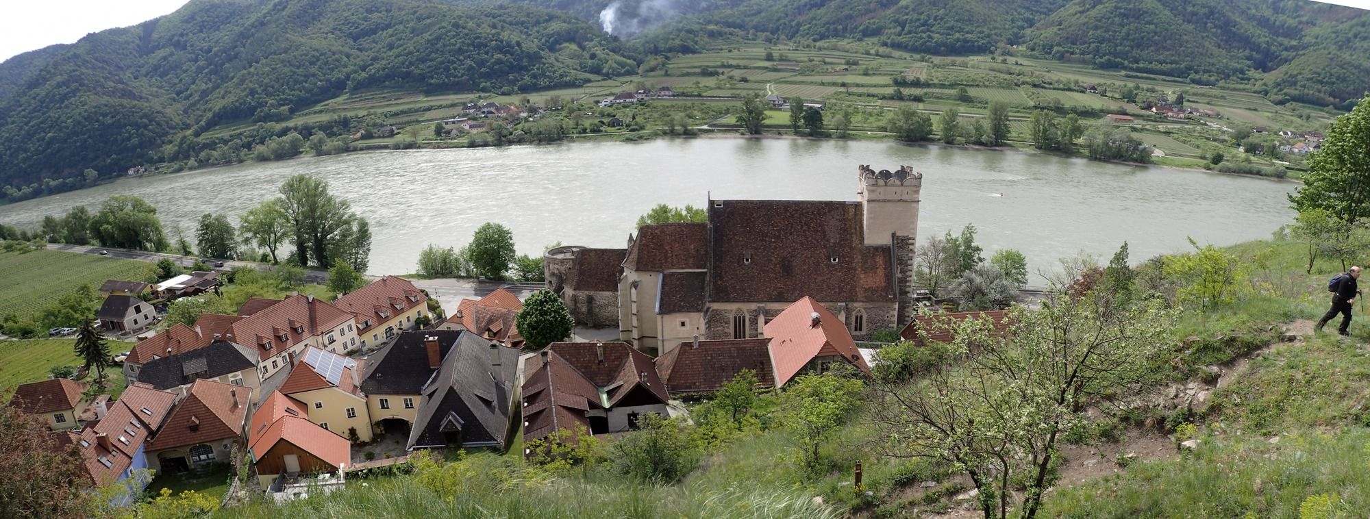
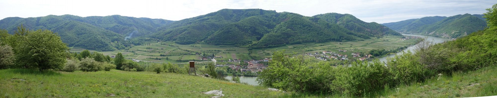
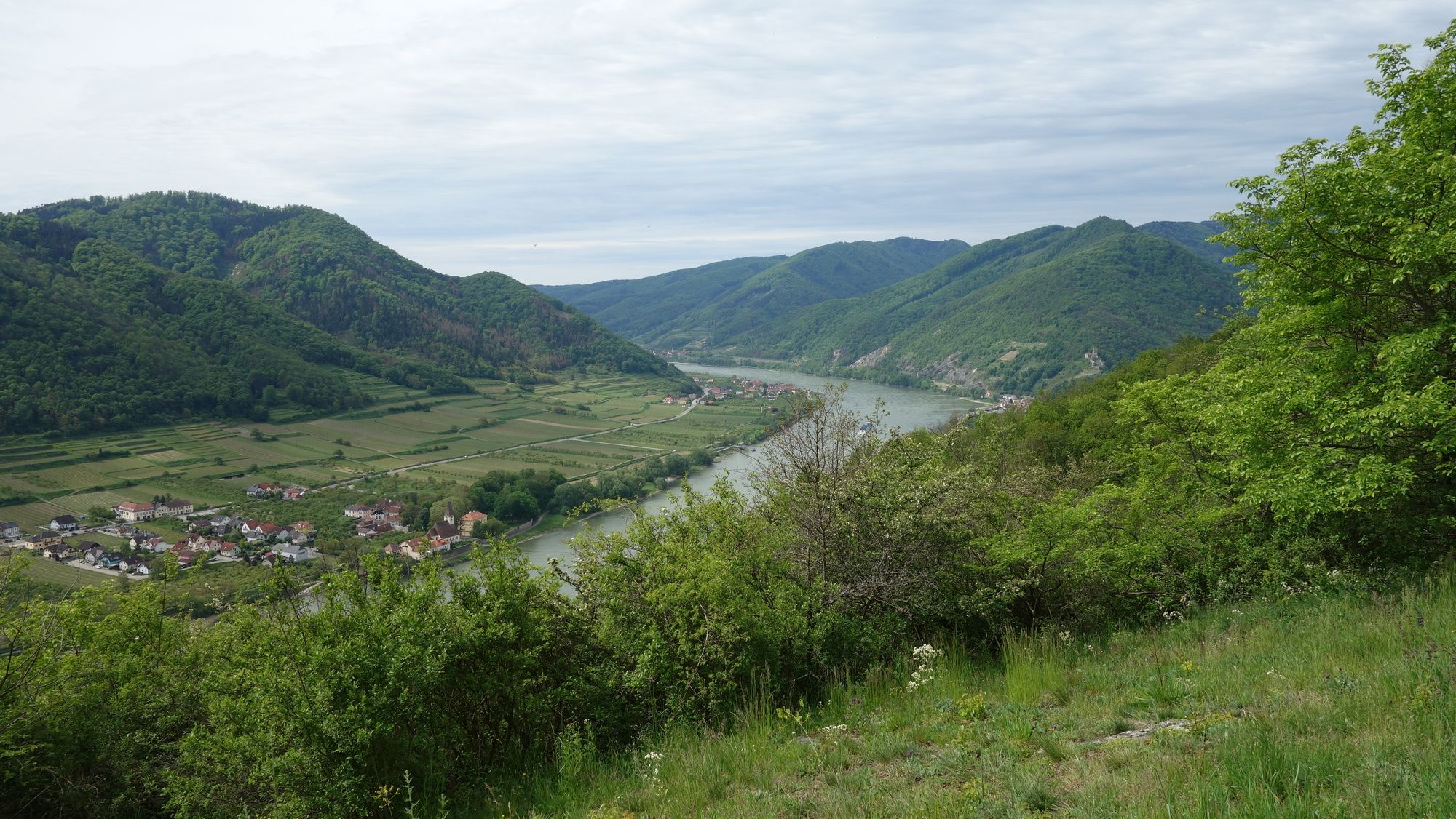
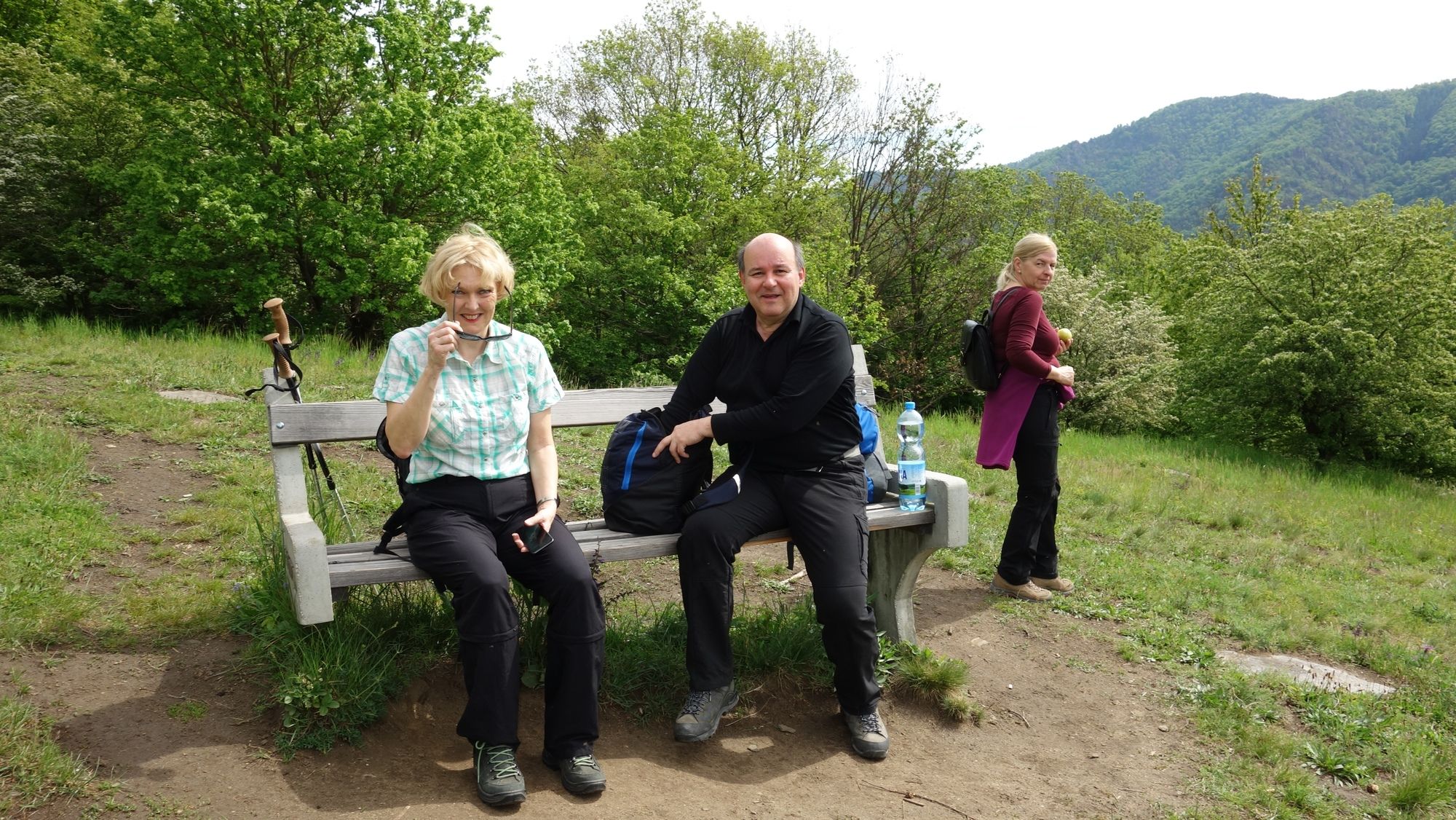
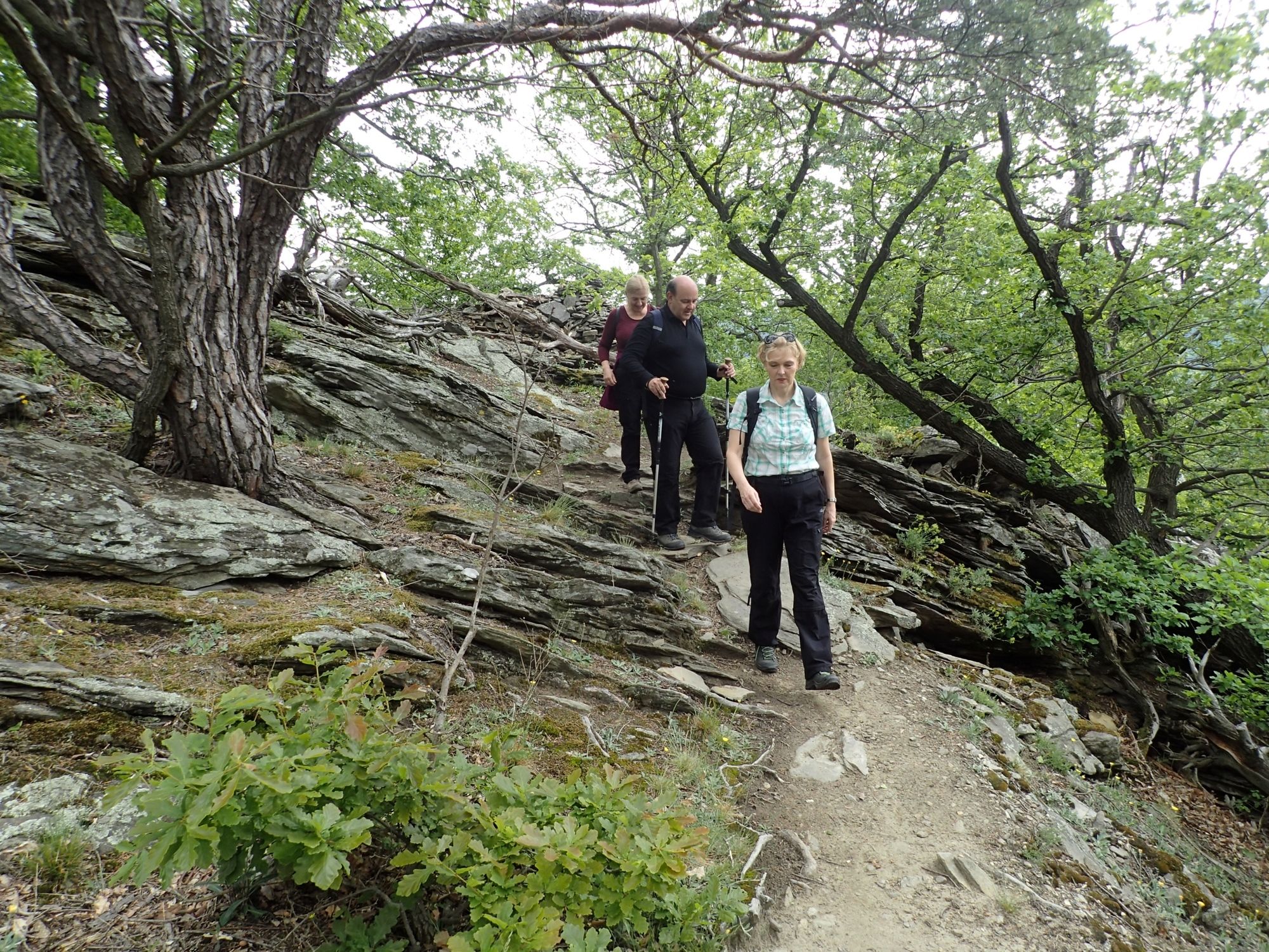
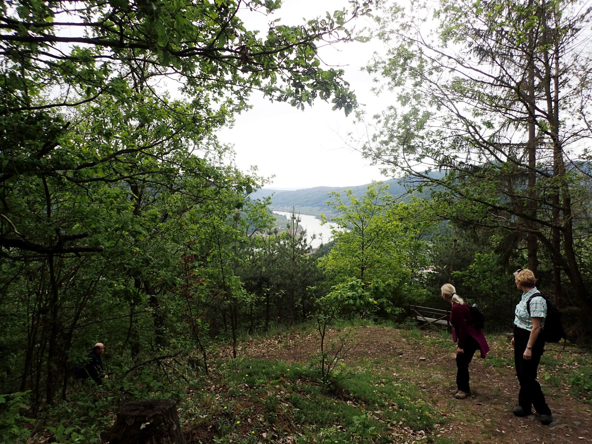
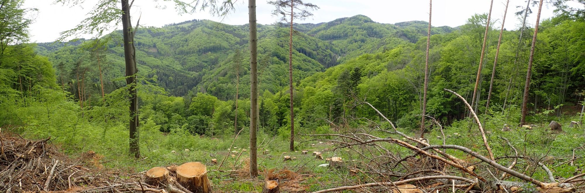
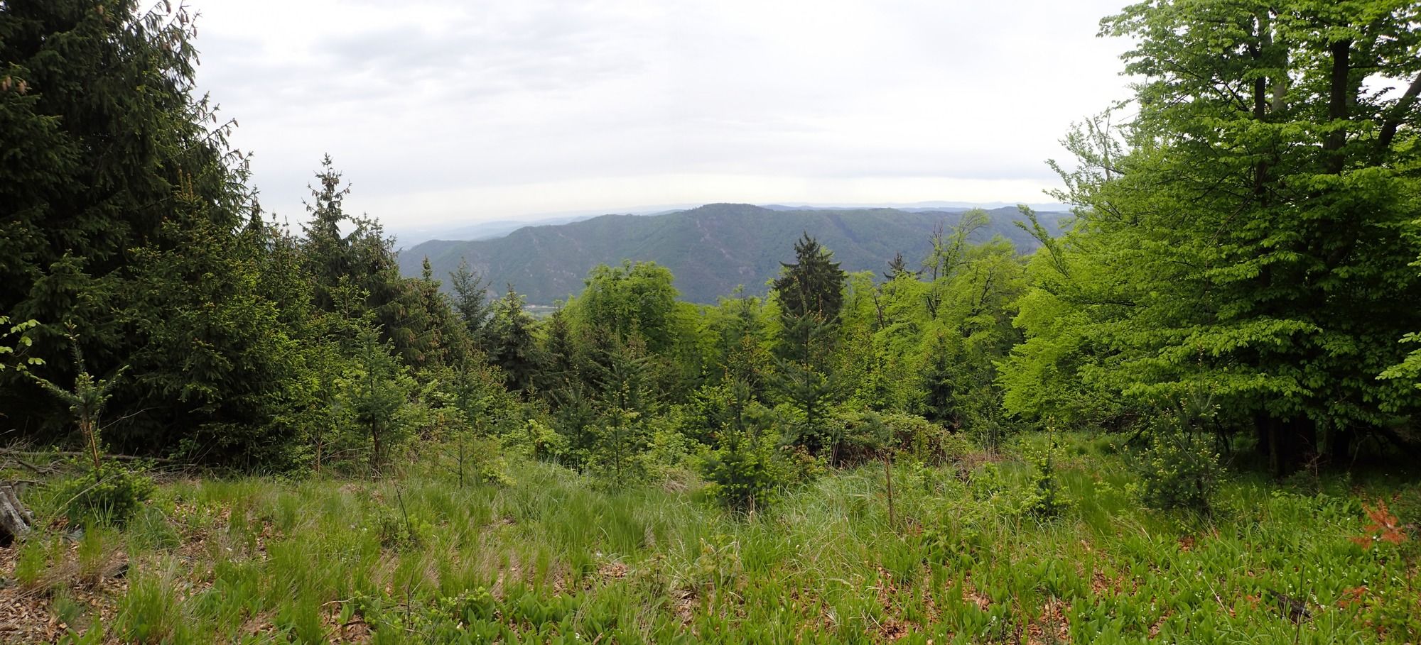
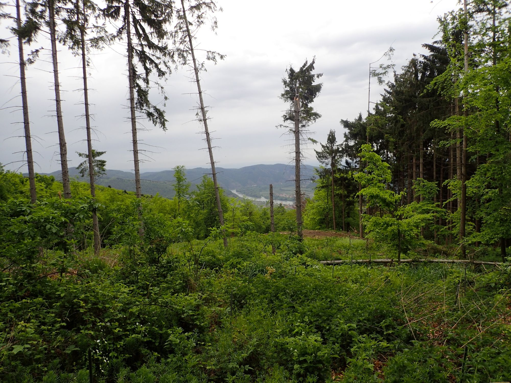
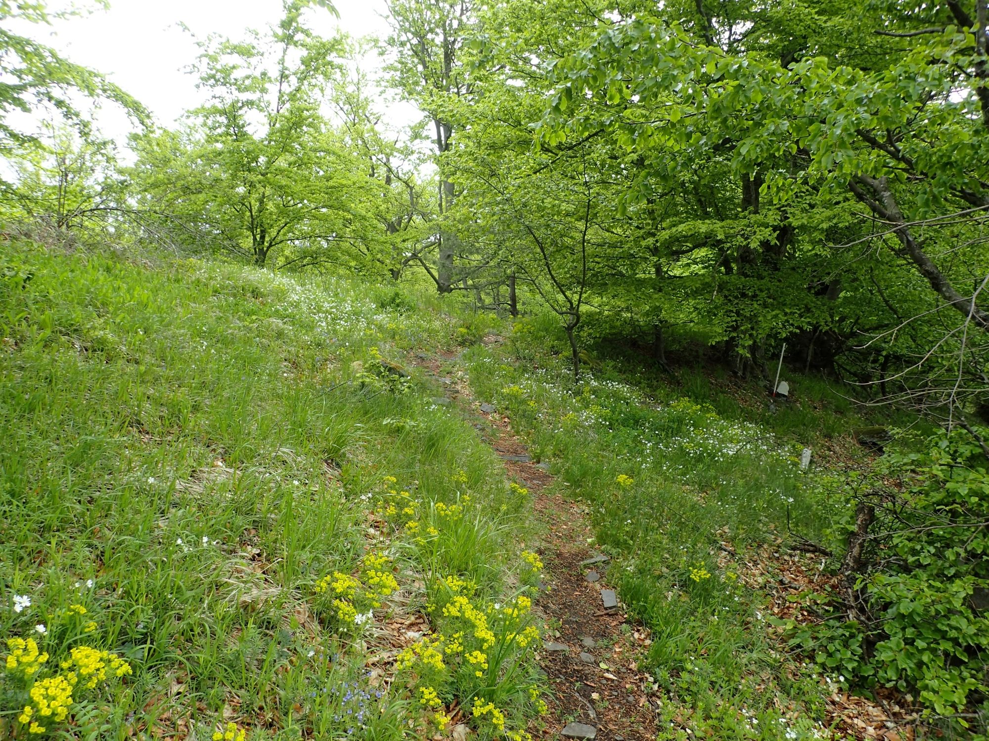
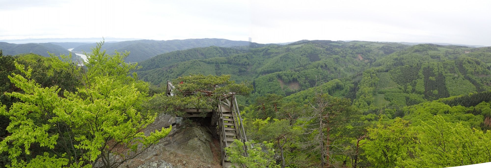
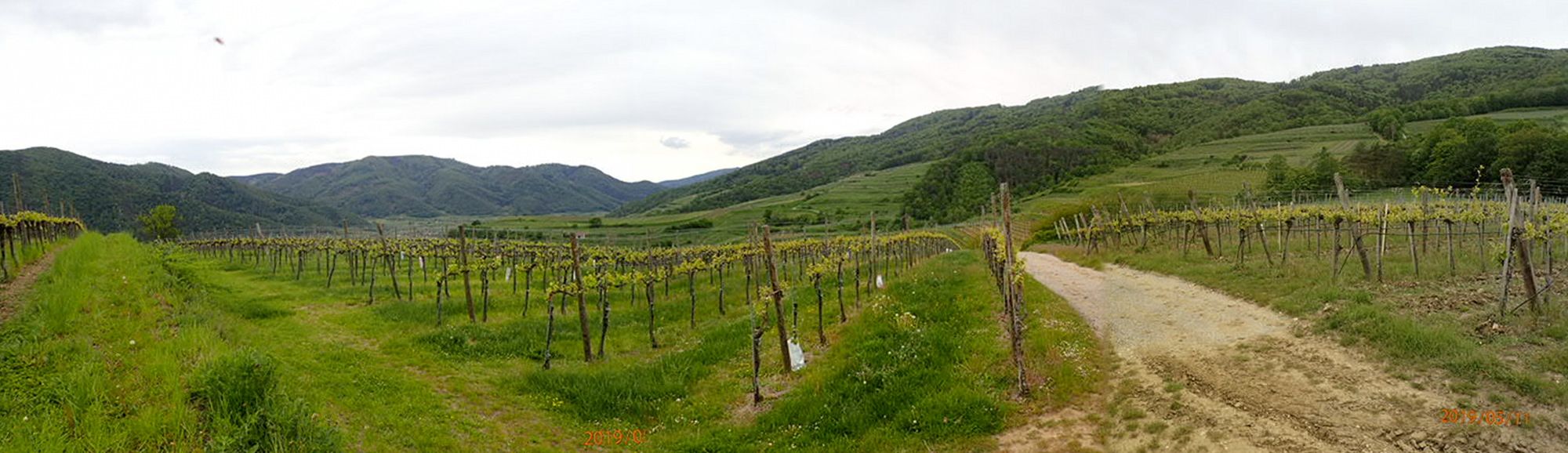
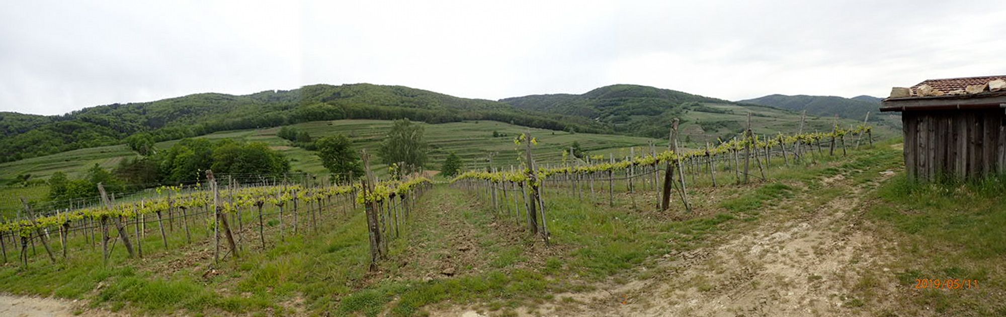
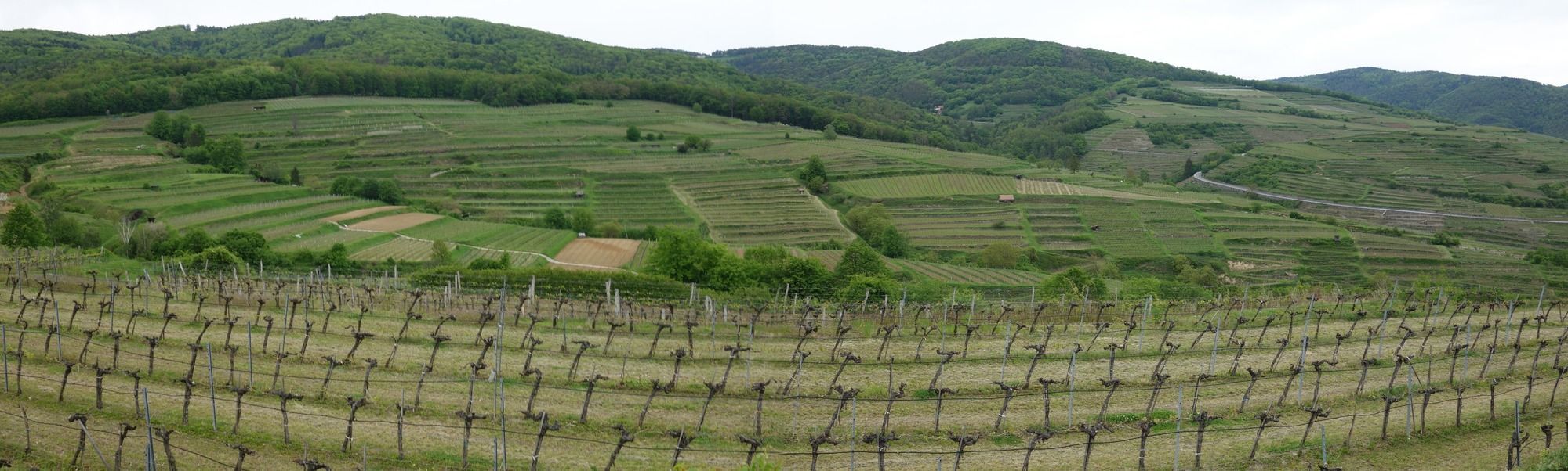
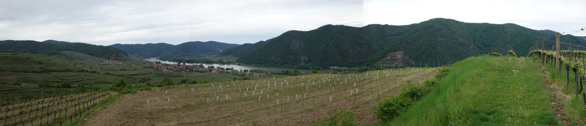
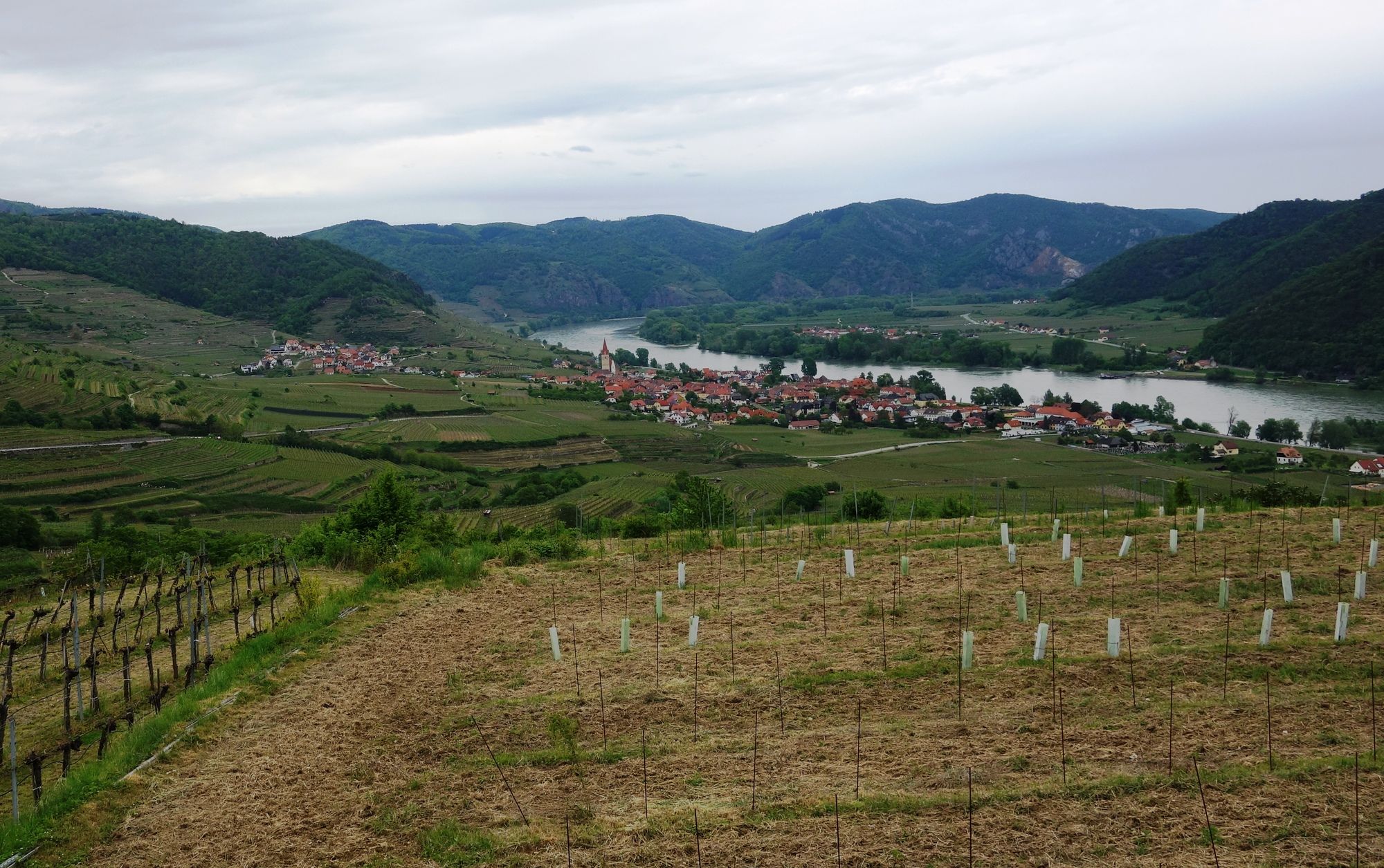
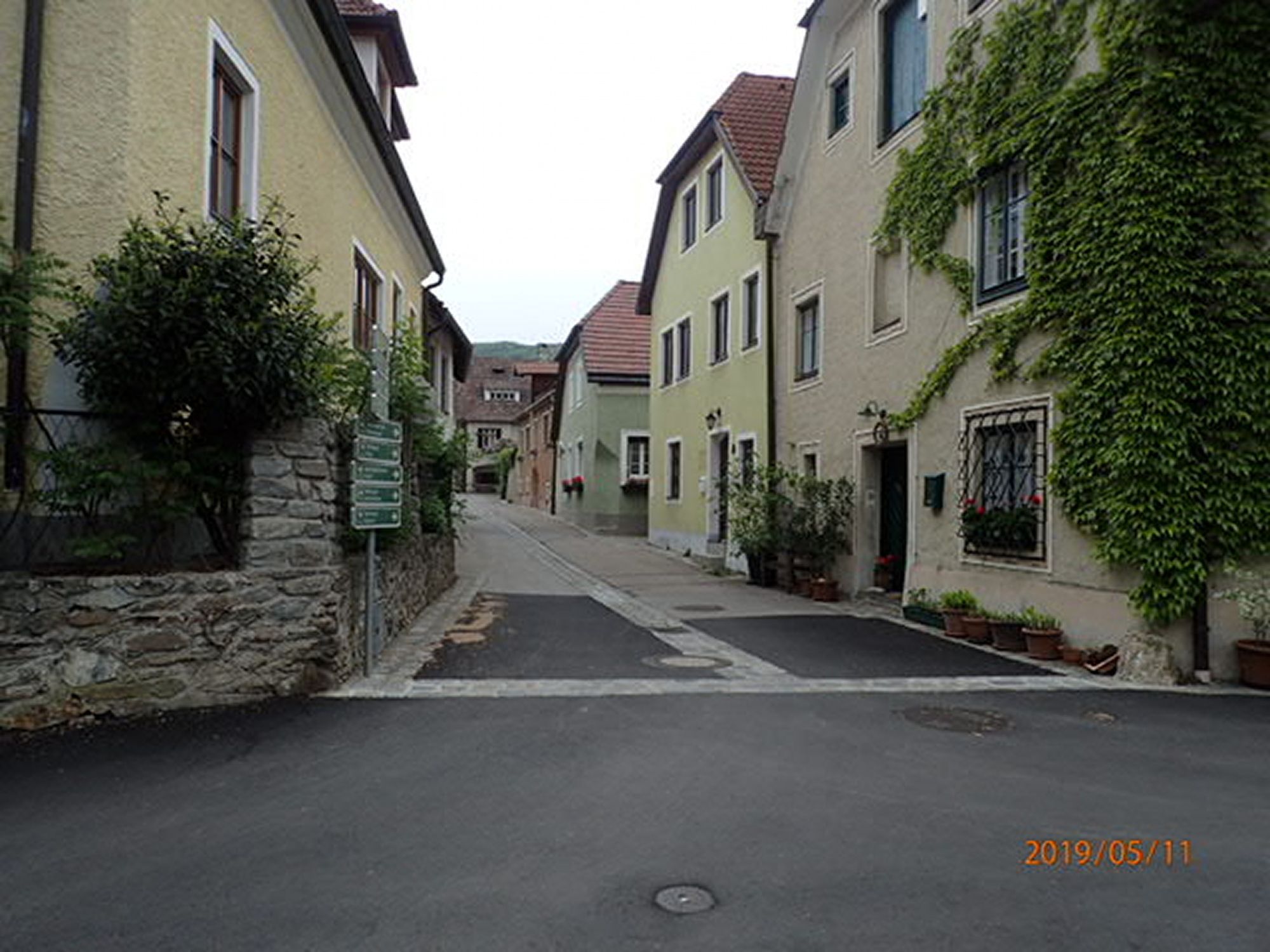
Rundwanderung in der Wachau von Joching auf die Buschandlwand und über dem Kollmitzweinberg zurück.
- Vaikeus
-
helppo
- Arviointi
-
- Lähtöpiste
-
Parkplatz
- Reitti
-
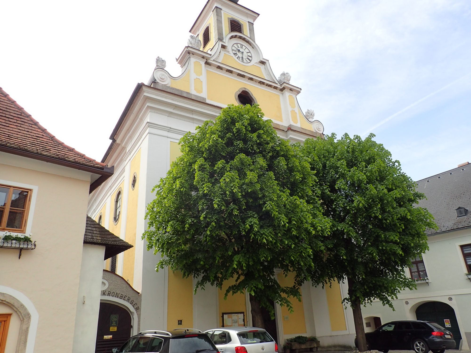
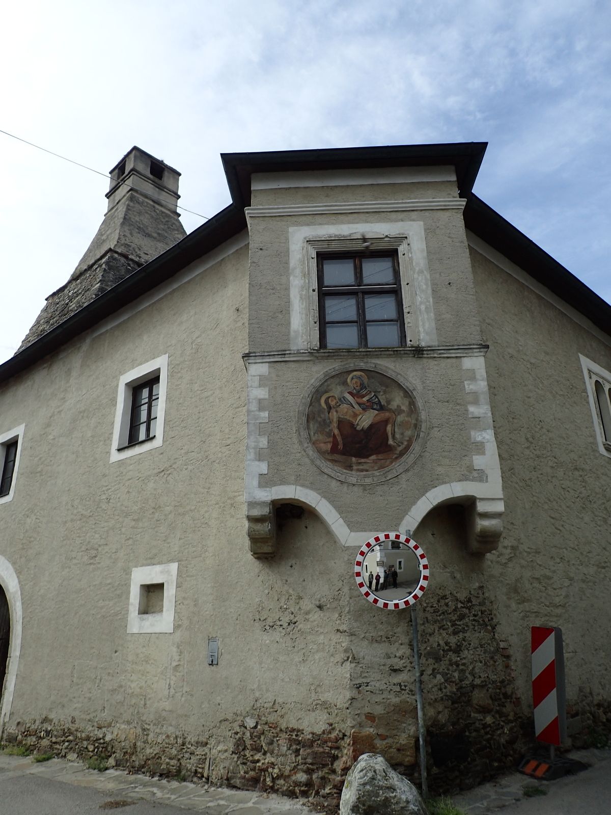
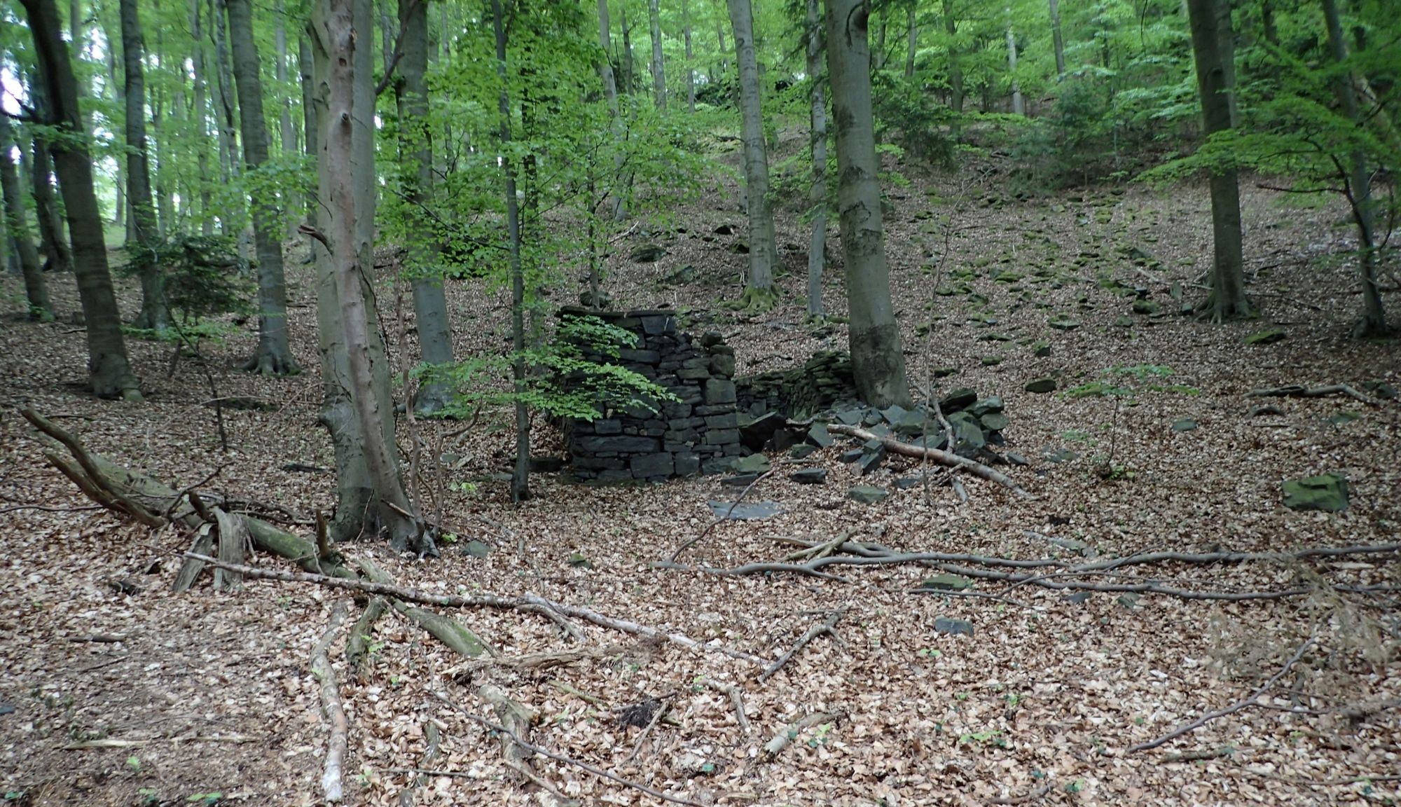
JochingWösendorf in der Wachau0,9 kmSankt Michael2,3 kmehem. Sondierstollen4,3 kmBergwerkstollen4,3 kmSchacht4,3 kmBuschandlwand (741 m)7,6 kmKollmitz (330 m)10,3 kmJoching12,2 km
- Paras kausi
-
tammihelmimaalishuhtitoukokesäheinäelosyyslokamarrasjoulu
- Korkein kohta
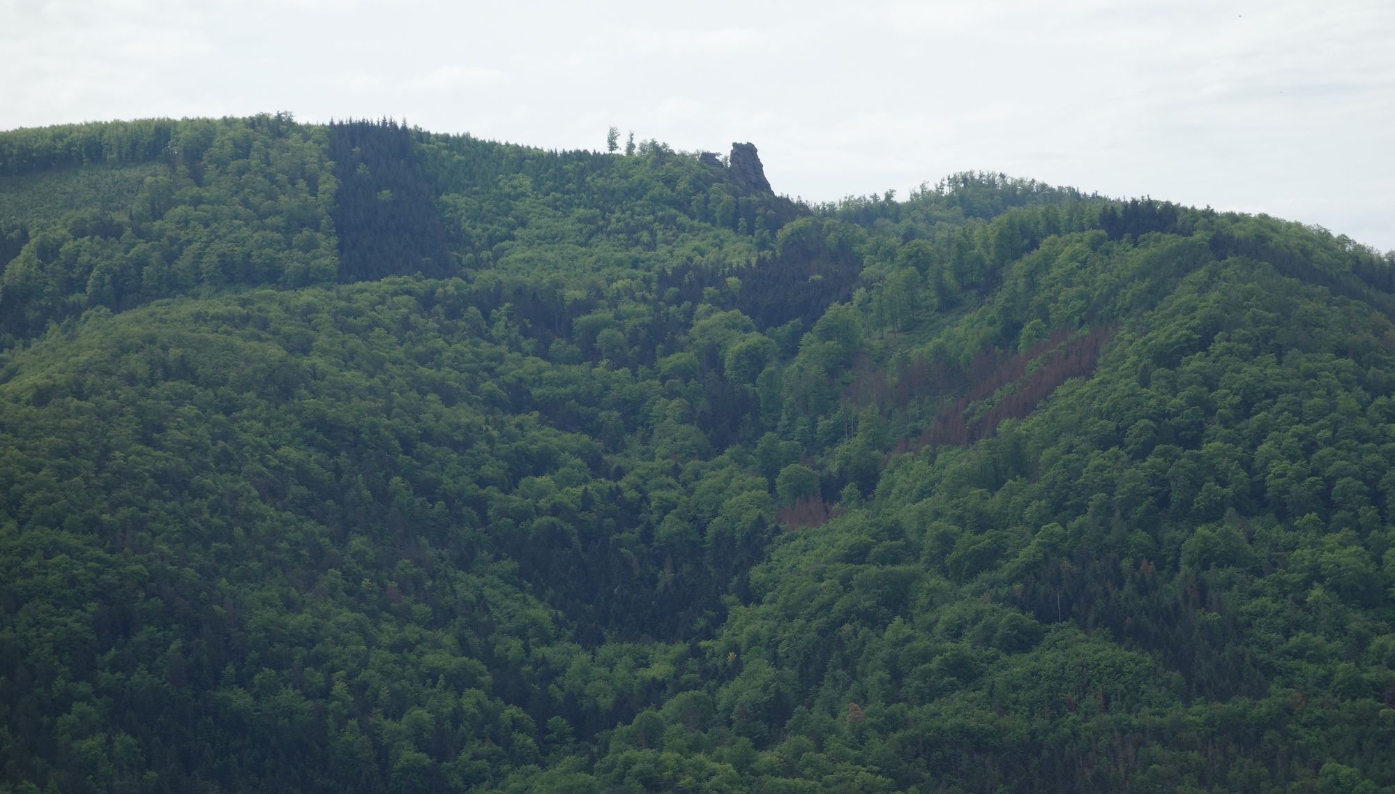
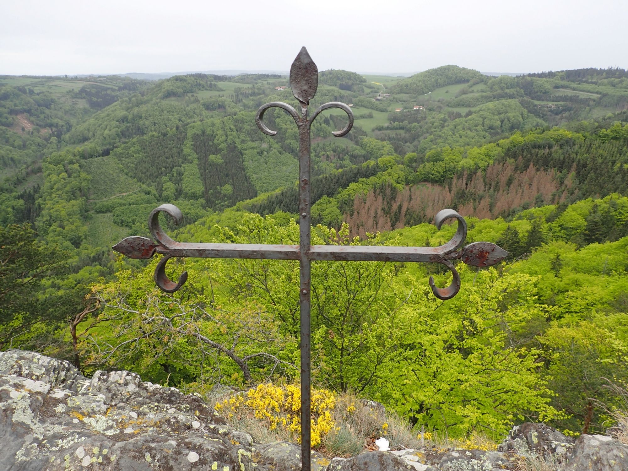
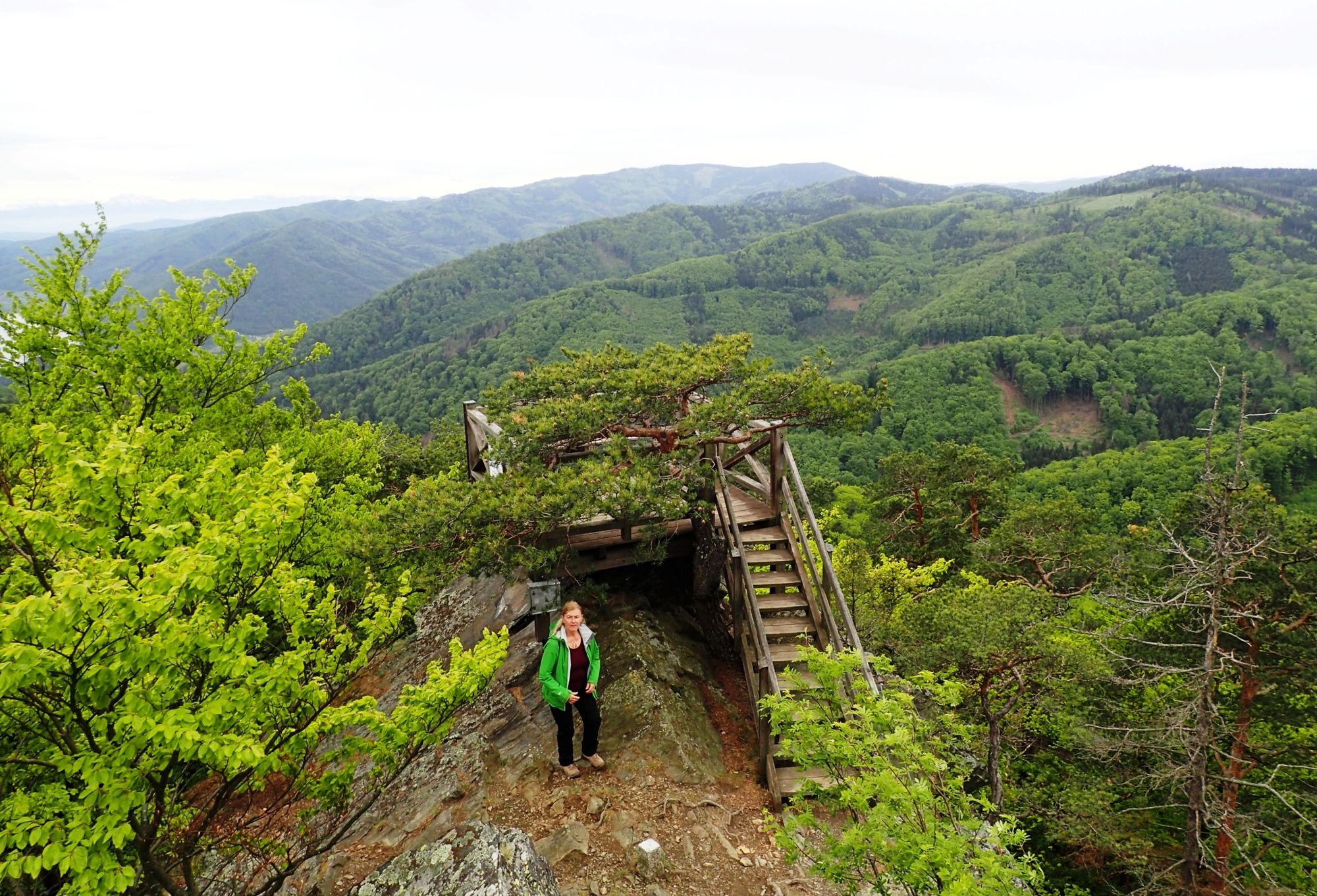
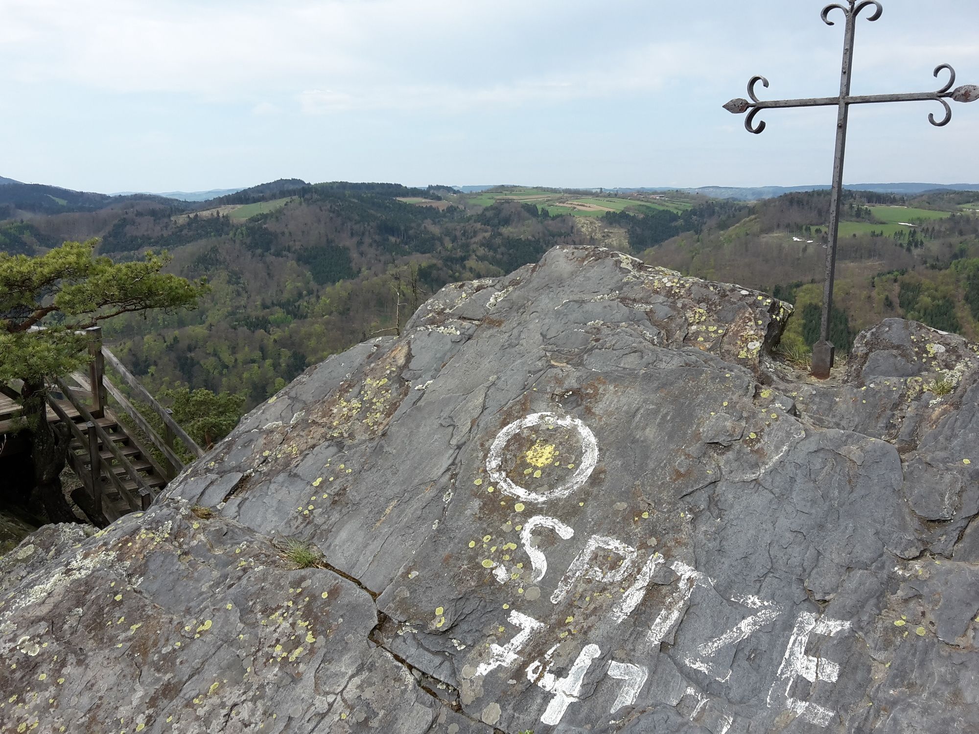
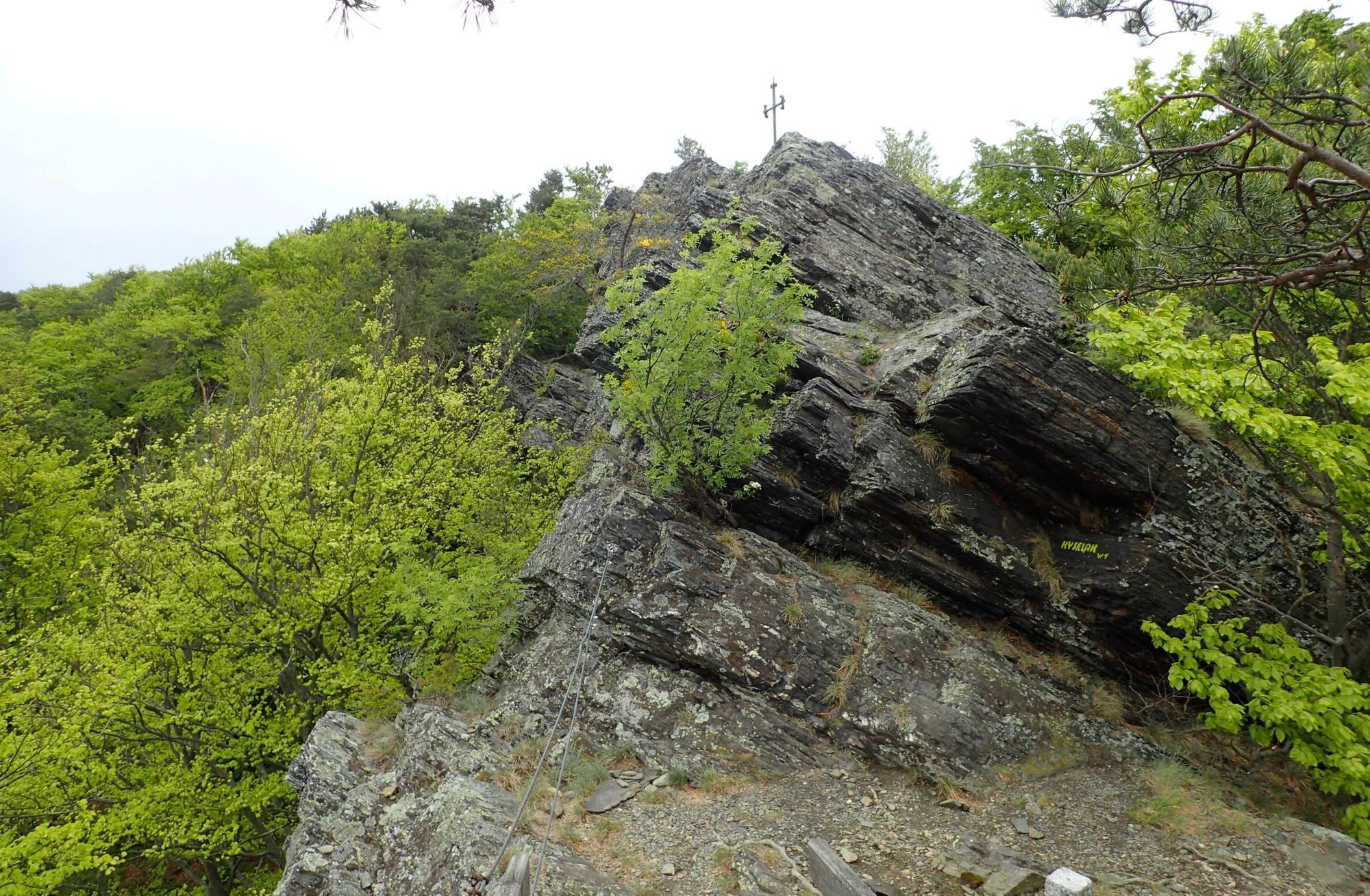
- Buschandlwand (743 m)
- Kohde
-
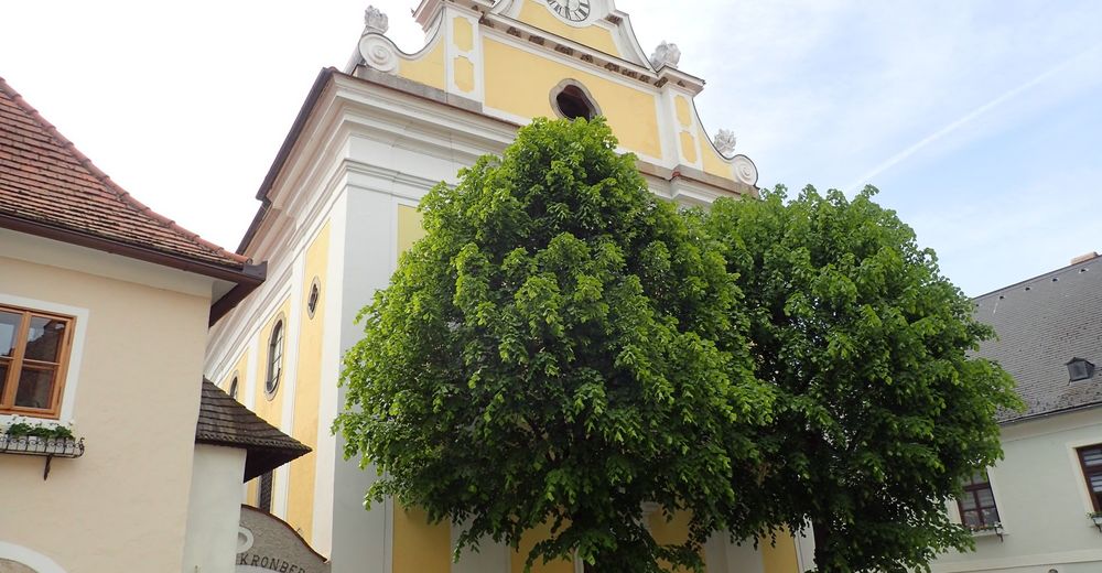
Buschandlwand mit der Gruber Warte
- Lepo/Retriitti
-
div. Möglichkeiten erst nach Ende der Wanderung z.B. in Weißenkirchen
- Karttamateriaali
-
bergfex, amap, kompass, opentopomap


- Lähde
- Erich Helferstorfer
GPS Downloads
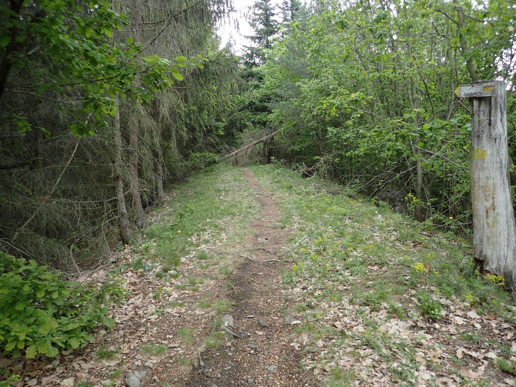
Polun olosuhteet
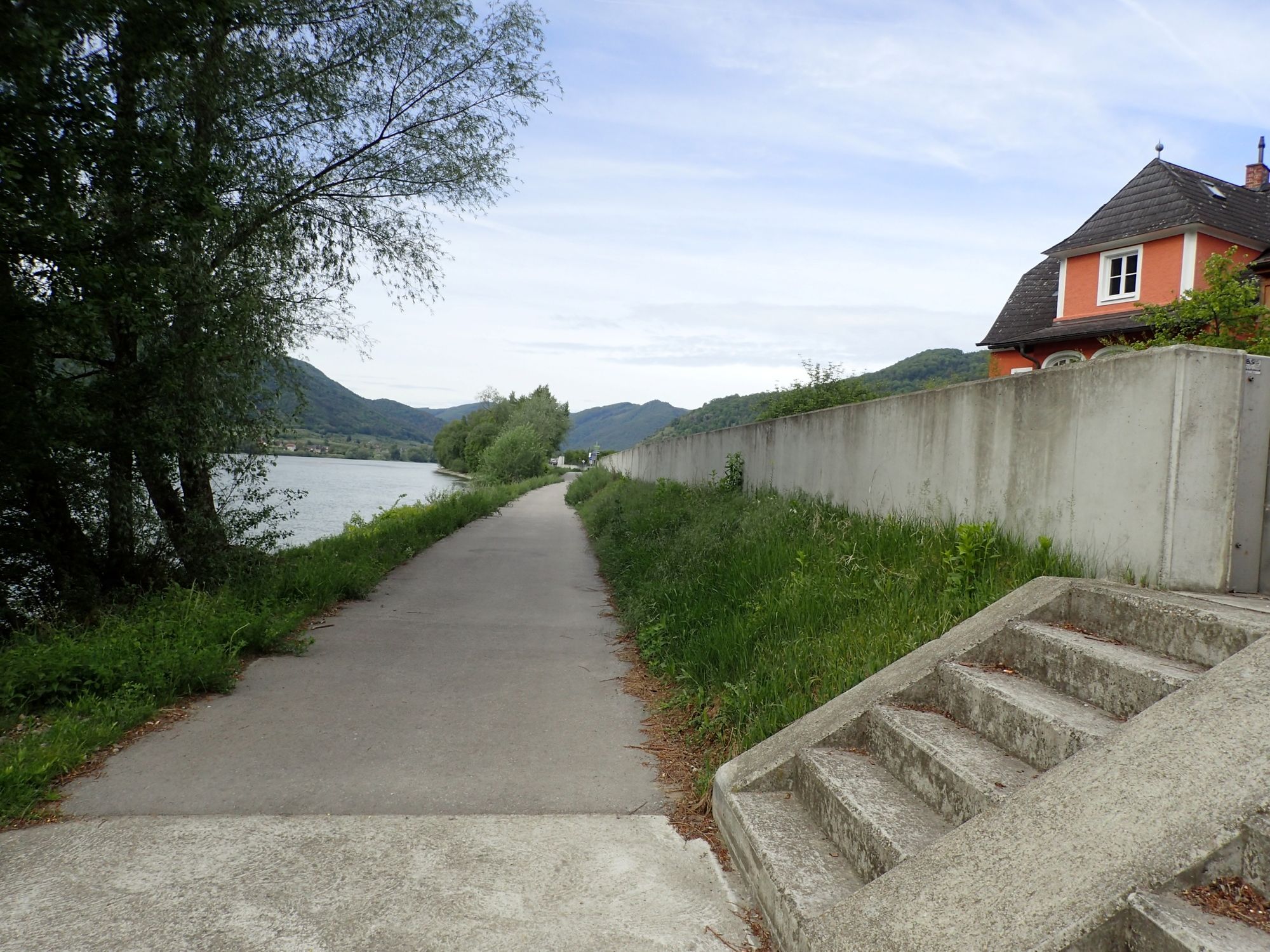
Asfaltti
(30%)
Sora
(60%)
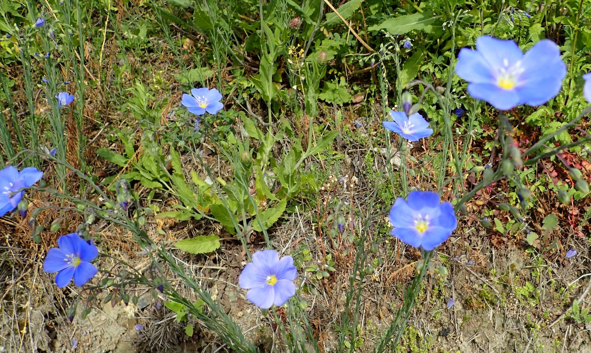
Niitty
(10%)
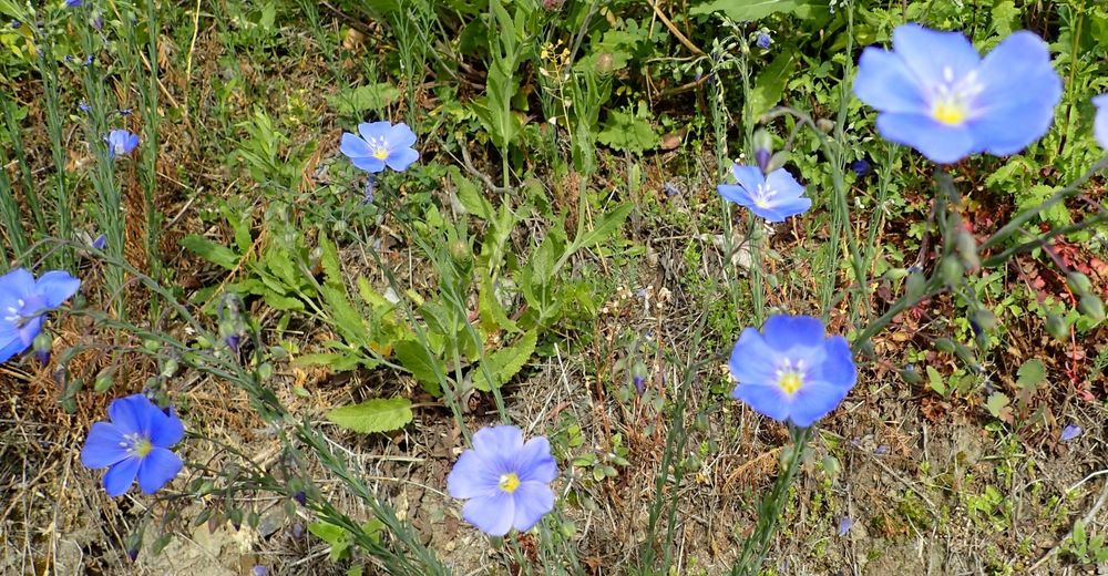
Metsä
(30%)
Kallio
Altistettu
Lisää retkiä alueilla
-
Donau Niederösterreich
2288
-
Dunkelsteinerwald
1372
-
Spitz an der Donau
605


