© Waldviertel Tourismus - Destination Waldviertel


- Lyhyt kuvaus
-
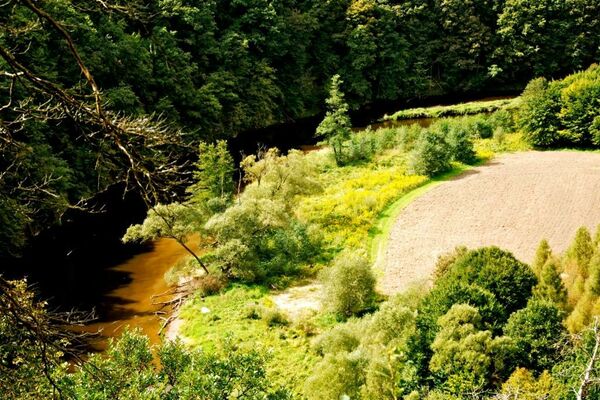
Erholung bietet der Edlersee: Eine große, mit Bäumen bestandene Wiese mit Spielstationen, Beachvolleyballplatz, Minigolf und ein flacher Strand für Badende. Fischer versuchen am anderen Ufer ihr Glück, Gasthaus und Campingplatz vervollständigen das Angebot.
- Vaikeus
-
helppo
- Arviointi
-
- Reitti
-
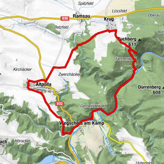
Geras0,2 kmPfaffenreith2,8 kmGoggitschberg5,5 kmGasthaus zum goldenen Kegel6,2 kmGeras6,2 km
- Paras kausi
-
tammihelmimaalishuhtitoukokesäheinäelosyyslokamarrasjoulu
- Korkein kohta
- 510 m
- Korkeusprofiili
-

- Kirjoittaja
-
Kiertue Edlerseeweg käyttää outdooractive.com toimitettu.
GPS Downloads


Lisää retkiä alueilla
-
Waldviertel
1778
-
Nationalparkregion Thayatal
264
-
Geras
69