© ZWalk.at
© ZWalk.at
© ZWalk.at
Retkitiedot
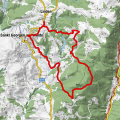
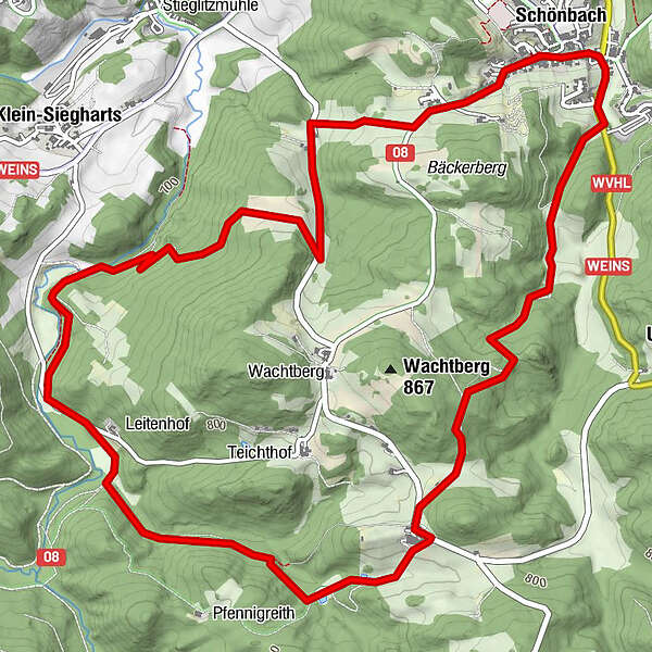
8,05km
713
- 837m
196hm
02:30h
- Lyhyt kuvaus
-
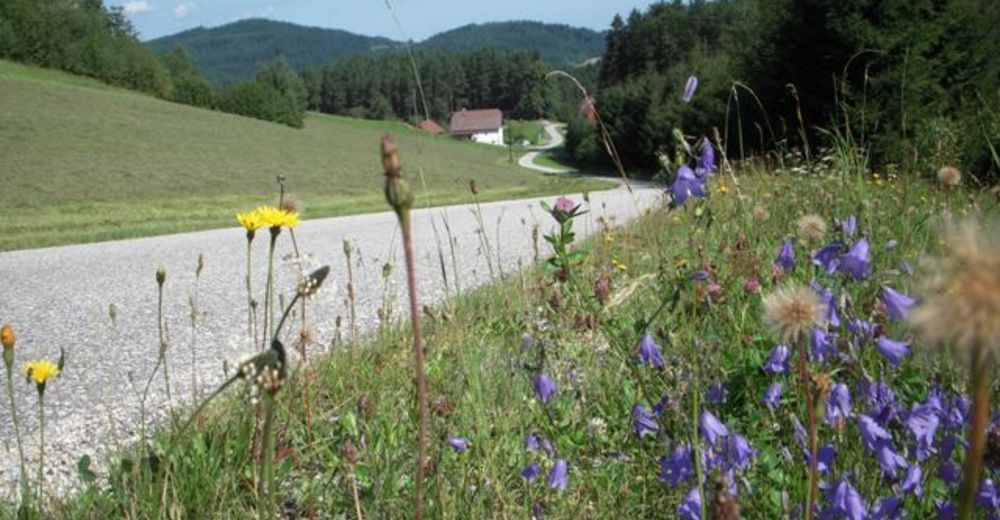
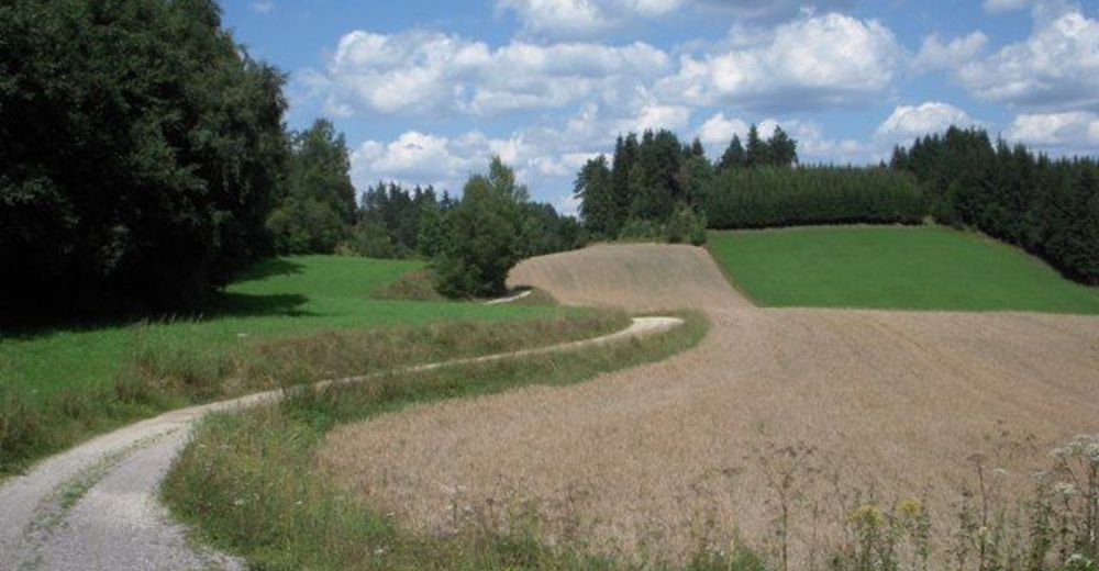
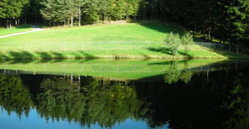
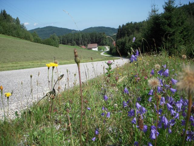
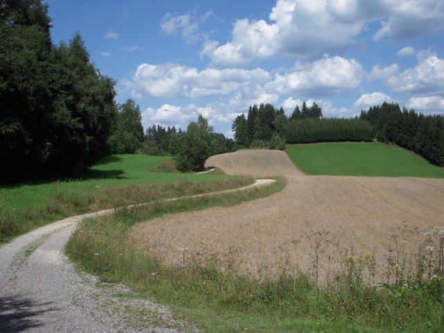
Die Tour führt durch eine typische, leicht hügelige Waldviertler Landschaft. Es geht durch Felder, Wiesen und Wälder, die sich ständig abwechseln.
- Vaikeus
-
helppo
- Arviointi
-
- Lähtöpiste
-
Schönbach
- Reitti
-
SchönbachHuitberg0,6 kmWachtberg1,4 kmWachtberg1,7 kmReitern5,4 kmSchönbach7,8 km
- Korkein kohta
- 837 m
- Lähde
- ZWalk
GPS Downloads


Polun olosuhteet
Asfaltti
Sora
Niitty
Metsä
Kallio
Altistettu
Lisää retkiä alueilla
-
Waldviertel
1776
-
Südliches Waldviertel
936
-
Schönbach
237