© Wiener Wasser/Zinner

© Wienerwald Tourismus GmbH / Paul Landl

© Wiener Wasser/Zinner
- Lyhyt kuvaus
-
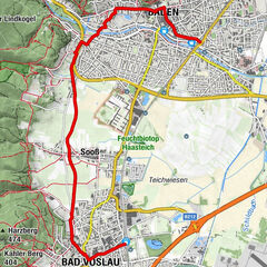
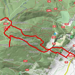
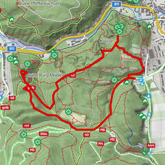
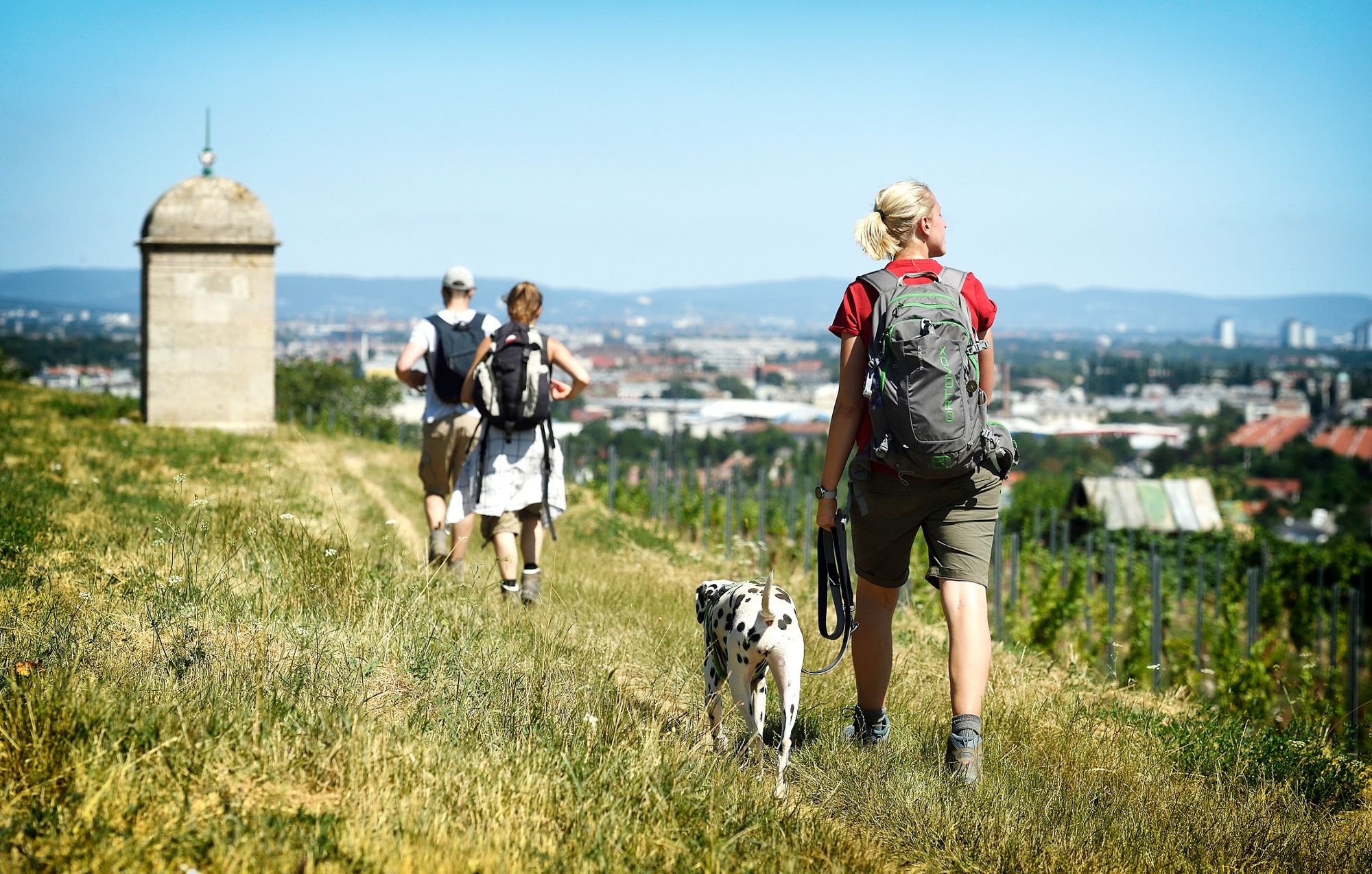
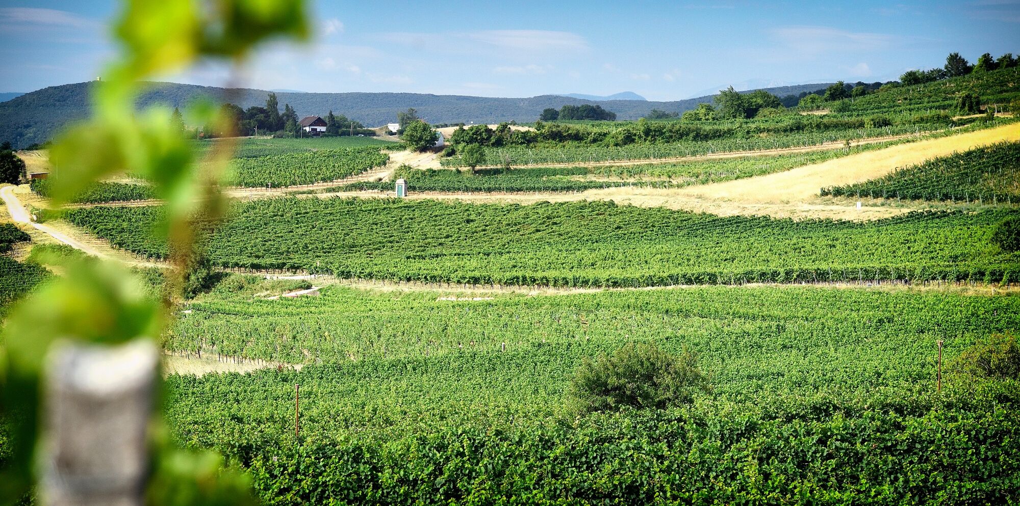
This beautiful hiking route commemorates the construction of the First Vienna Mountain Spring pipeline in 1873. In order to send valuable drinking water from the source in the Rax-Schneeberg area to Vienna, the required gradient was “divided” across the entire length of the pipeline. The hiking route is correspondingly flat. There are no noteworthy ascents or descents, apart from in the urban area of Baden – and even that is insignificant.
- Vaikeus
-
helppo
- Arviointi
-
- Reitti
-
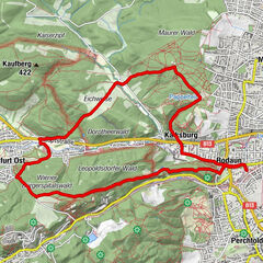
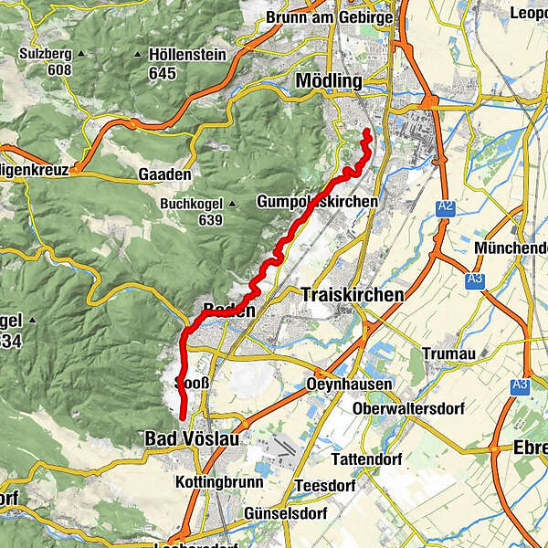
Bad VöslauDie Steinhäuseln0,6 kmSooß0,9 kmDie Steinbrunnäcker1,0 kmDie Grillpatzen1,3 kmWeinbau Waldmayer2,6 kmKolben2,7 kmViedörfeln2,7 kmVorschiebeln3,1 kmUrlaubskapelle4,8 kmBaden5,3 kmStadtpfarrkirche5,7 kmBackleiten7,5 kmPreisen Rachern und in Sadi Land9,1 kmRasslerin11,3 kmHofpoint11,6 kmSankt Michael11,8 kmGumpoldskirchen11,9 kmHabachts Weingartenhütte13,7 kmWeingartenkapelle14,1 kmBgm a.D. Karl Sonnweber16,1 kmBgm Abg.z.NR Hans Stefan Hintner16,1 kmMödling16,5 km
- Paras kausi
-
tammihelmimaalishuhtitoukokesäheinäelosyyslokamarrasjoulu
- Korkein kohta
- 267 m
- Kohde
-
Mödling cemetery gate 2
- Korkeusprofiili
-

- Kirjoittaja
-
Kiertue Vienna Water Pipeline Hiking Trail käyttää outdooractive.com toimitettu.
GPS Downloads


Yleistä tietoa
Virvokepysäkki
Lisää retkiä alueilla
-
Wienerwald
4219
-
Wien und Umgebung
2481
-
Pfaffstätten
832