© Wolfgang Pöchgraber
© Wolfgang Pöchgraber
© Wolfgang Pöchgraber
© Wolfgang Pöchgraber
© Wolfgang Pöchgraber
© Wolfgang Pöchgraber
© Wolfgang Pöchgraber
© Wolfgang Pöchgraber

© Wolfgang Pöchgraber
© Wolfgang Pöchgraber
Retkitiedot
15,22km
550
- 747m
428hm
429hm
04:00h
- Lyhyt kuvaus
-
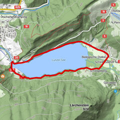
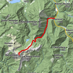
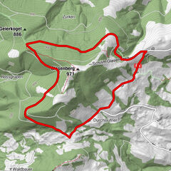
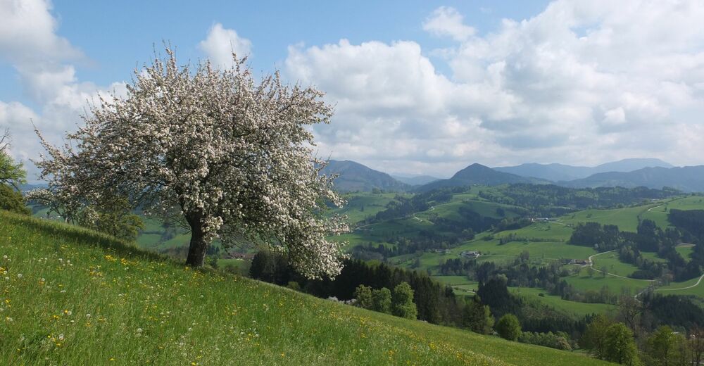
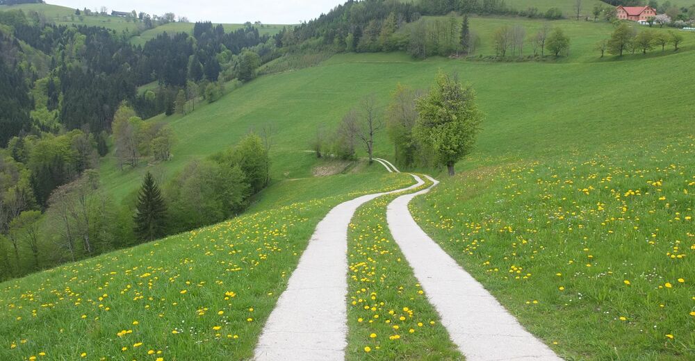
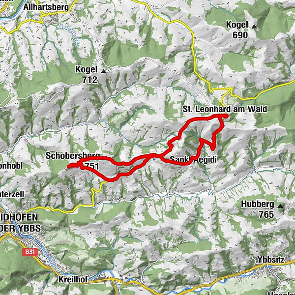
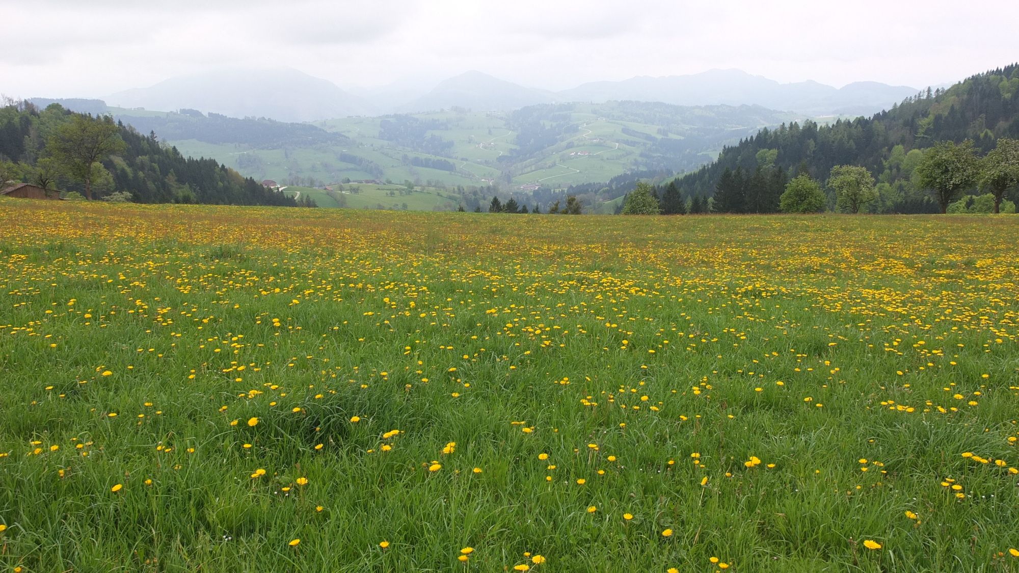
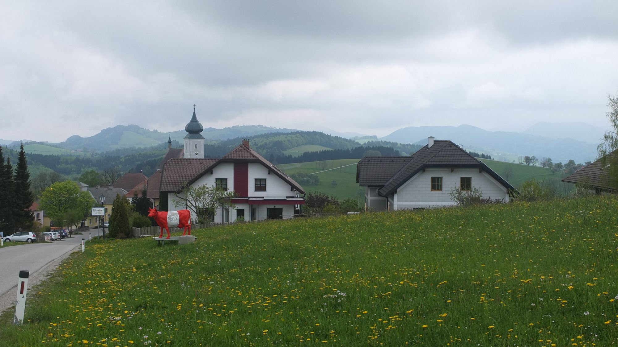
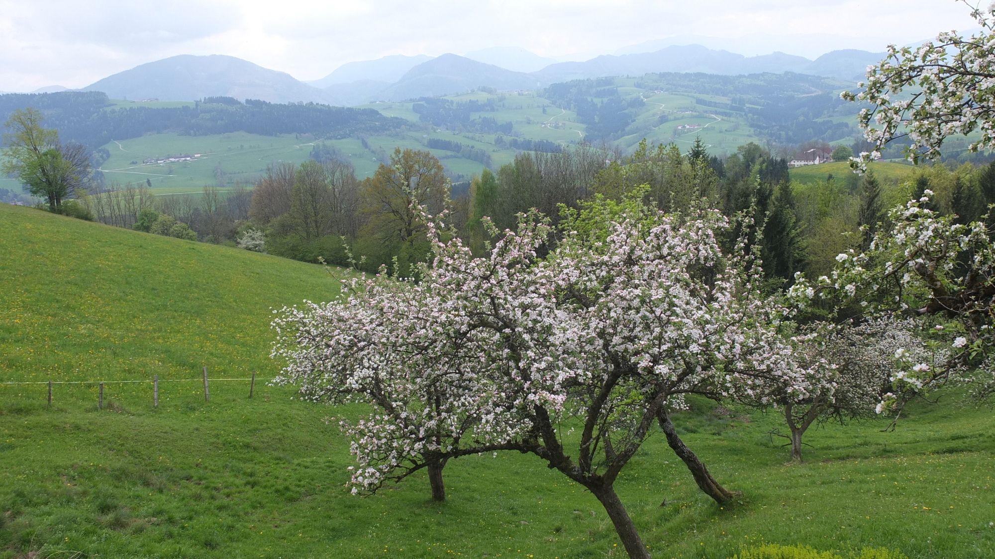
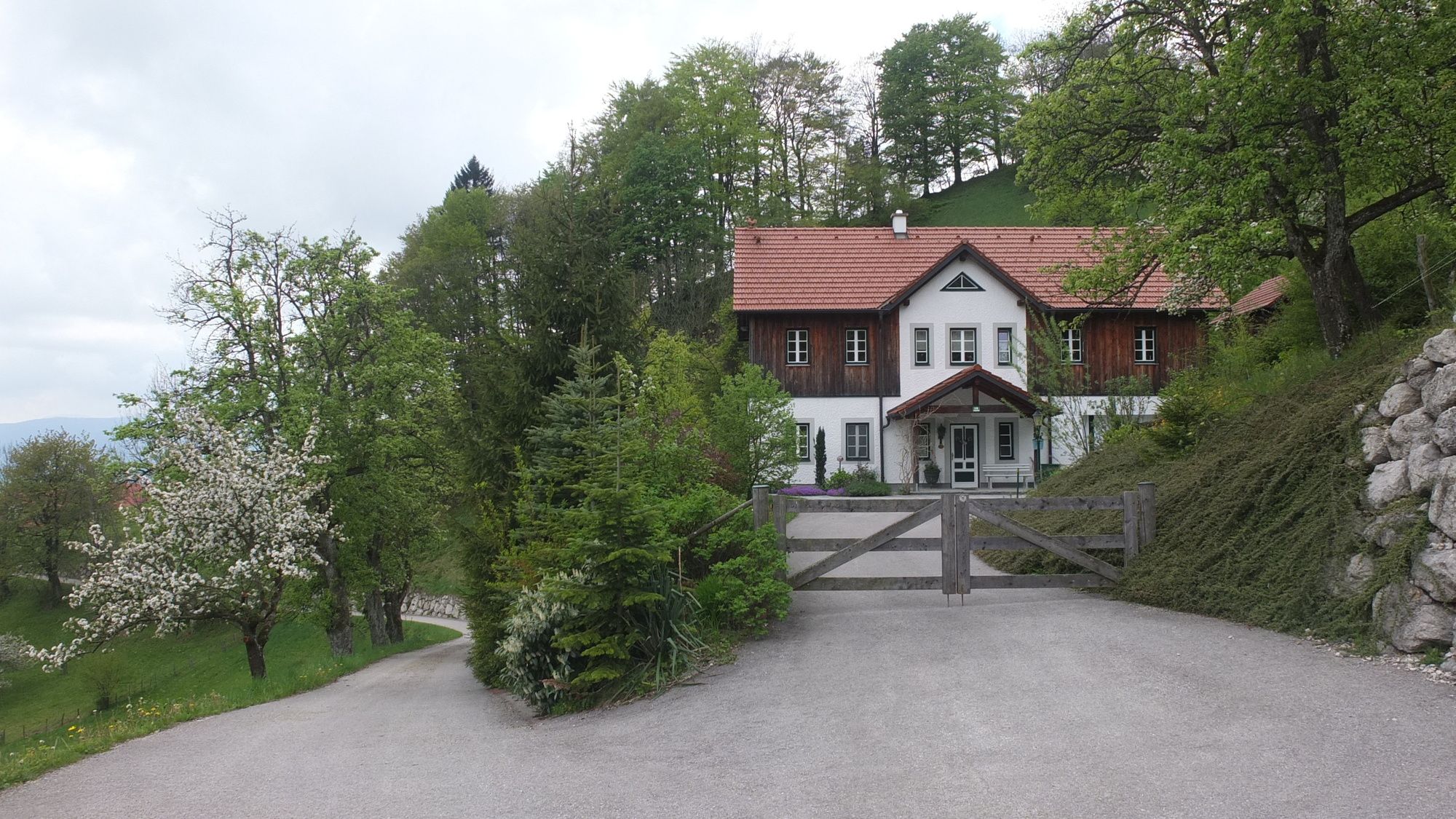
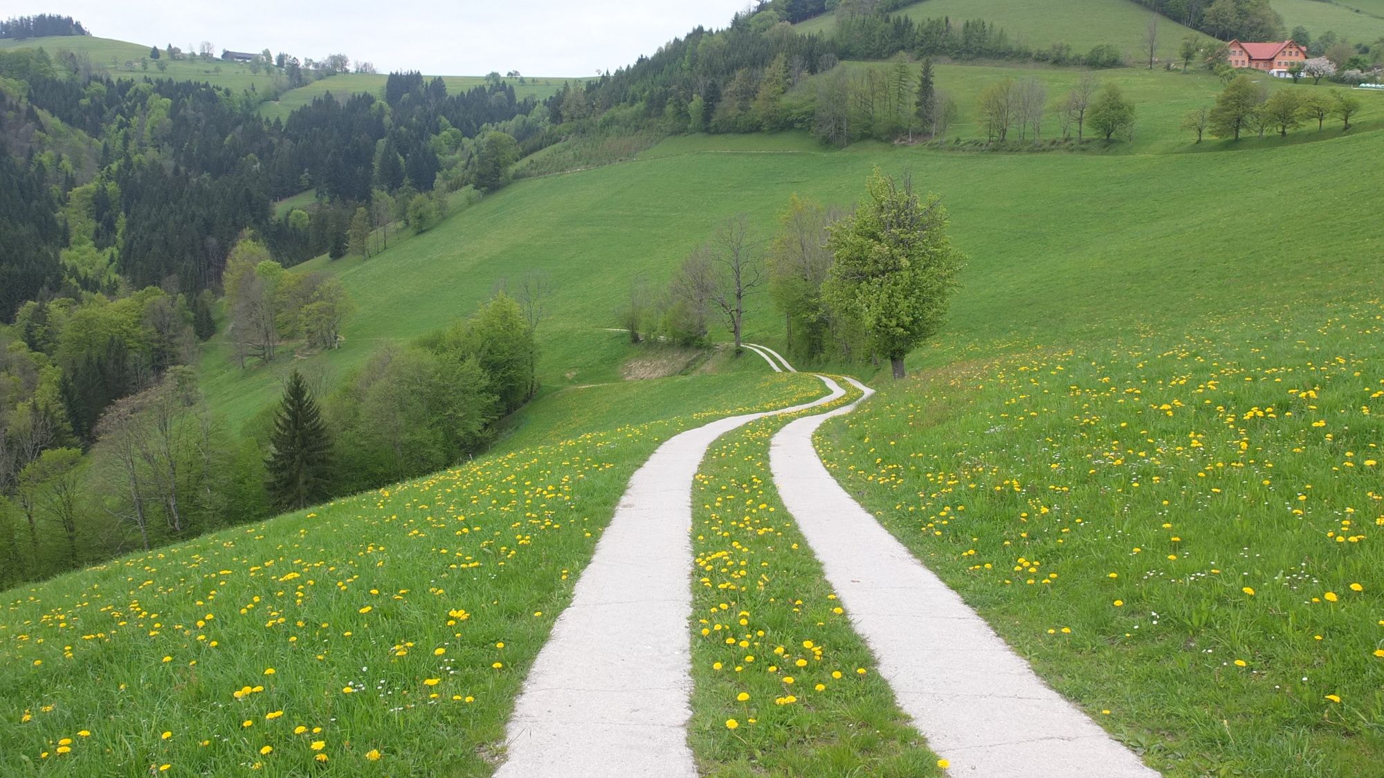
Runde von Windhag nach St. Leonhard und in einem "Achter" über St. Aegidi wieder retour nach Windhag.
- Vaikeus
-
helppo
- Arviointi
-
- Lähtöpiste
-
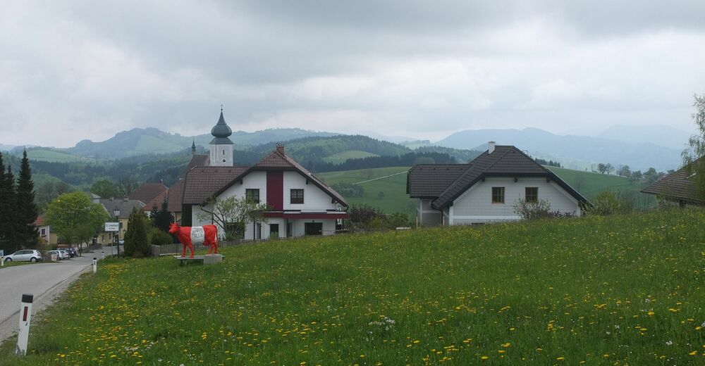
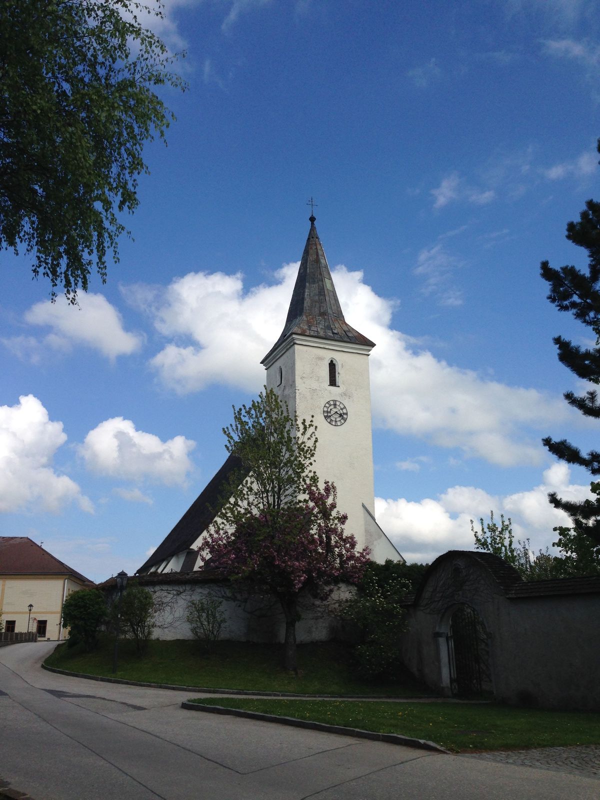
Parkplatz hinter der Kirche in Windhag.
- Reitti
-
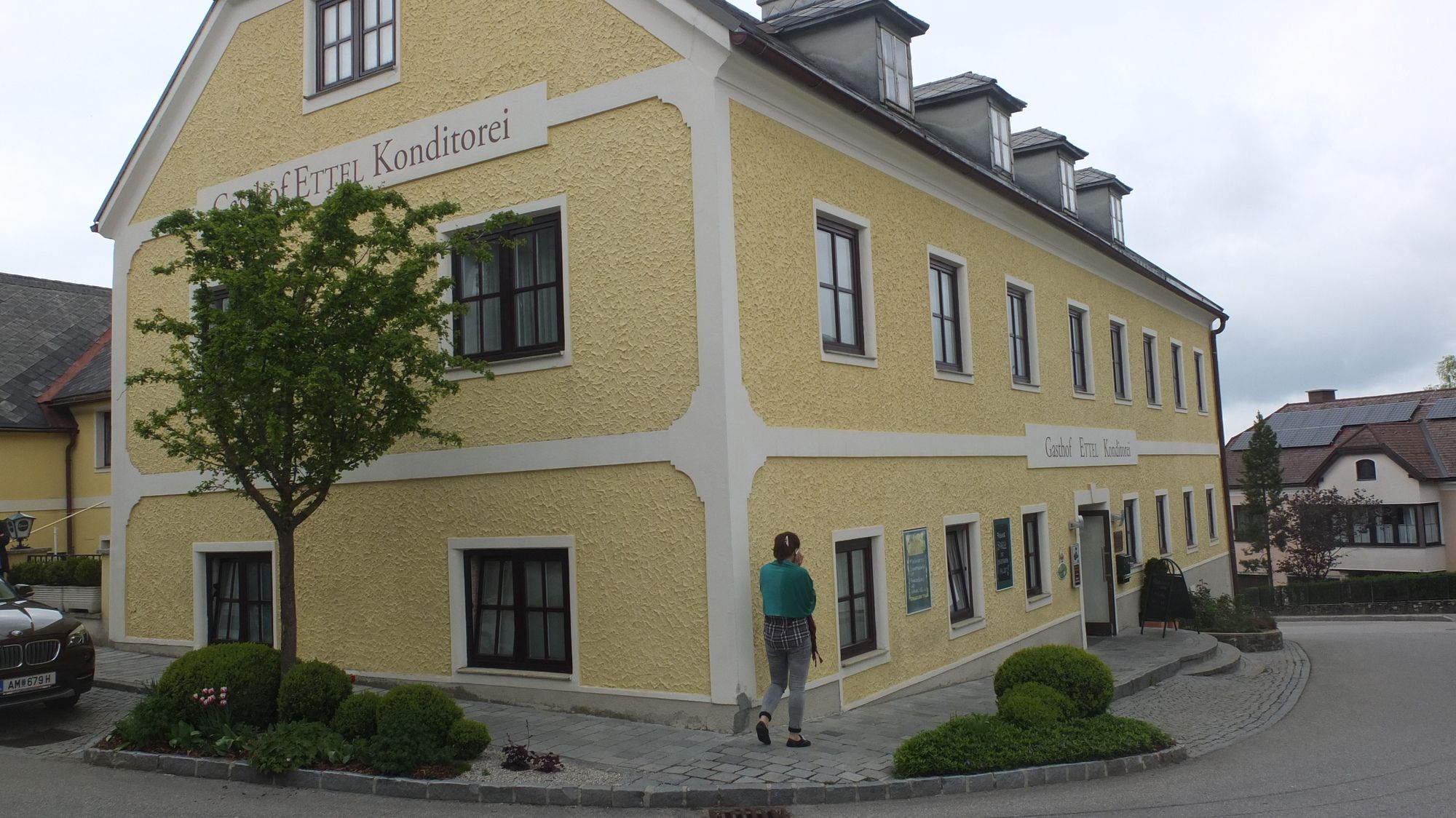
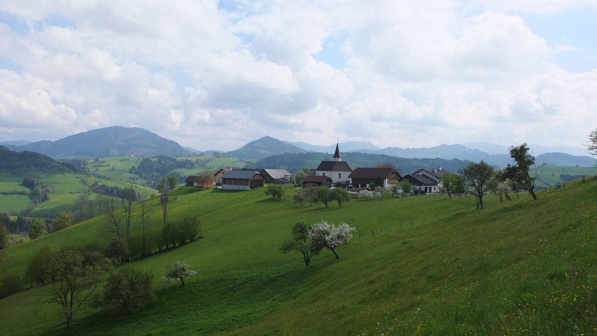
Windhag0,0 kmPfarrkirche hl. Nikolaus0,1 kmWindhager Wirt0,1 kmGasthof & Konditorei Fam. Ettel6,8 kmLeonhardihof7,0 kmSt. Leonhard am Wald7,1 kmPfarrkirche St. Leonhard7,3 kmSankt Aegidi10,5 kmSchobersberg (752 m)13,7 kmWindhager Wirt15,0 kmWindhag15,1 kmPfarrkirche hl. Nikolaus15,1 km
- Paras kausi
-
tammihelmimaalishuhtitoukokesäheinäelosyyslokamarrasjoulu
- Korkein kohta
- 747 m
- Kohde
-
Wie Ausgangspunkt.
- Lepo/Retriitti
-
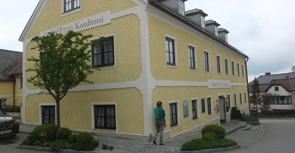
Gasthaus in Windhag an manchen Tagen bis nach Mittag geöffnet. Gasthof Ettel in St. Leonhard.


GPS Downloads


Polun olosuhteet
Asfaltti
(50%)
Sora
Niitty
Metsä
Kallio
Altistettu
Lisää retkiä alueilla
-
Mostviertel
2471
-
Melker Alpenvorland
804
-
Allhartsberg
171