


Retkitiedot
15,7km
768
- 1.669m
1.089hm
1.089hm
05:30h
- Lyhyt kuvaus
-
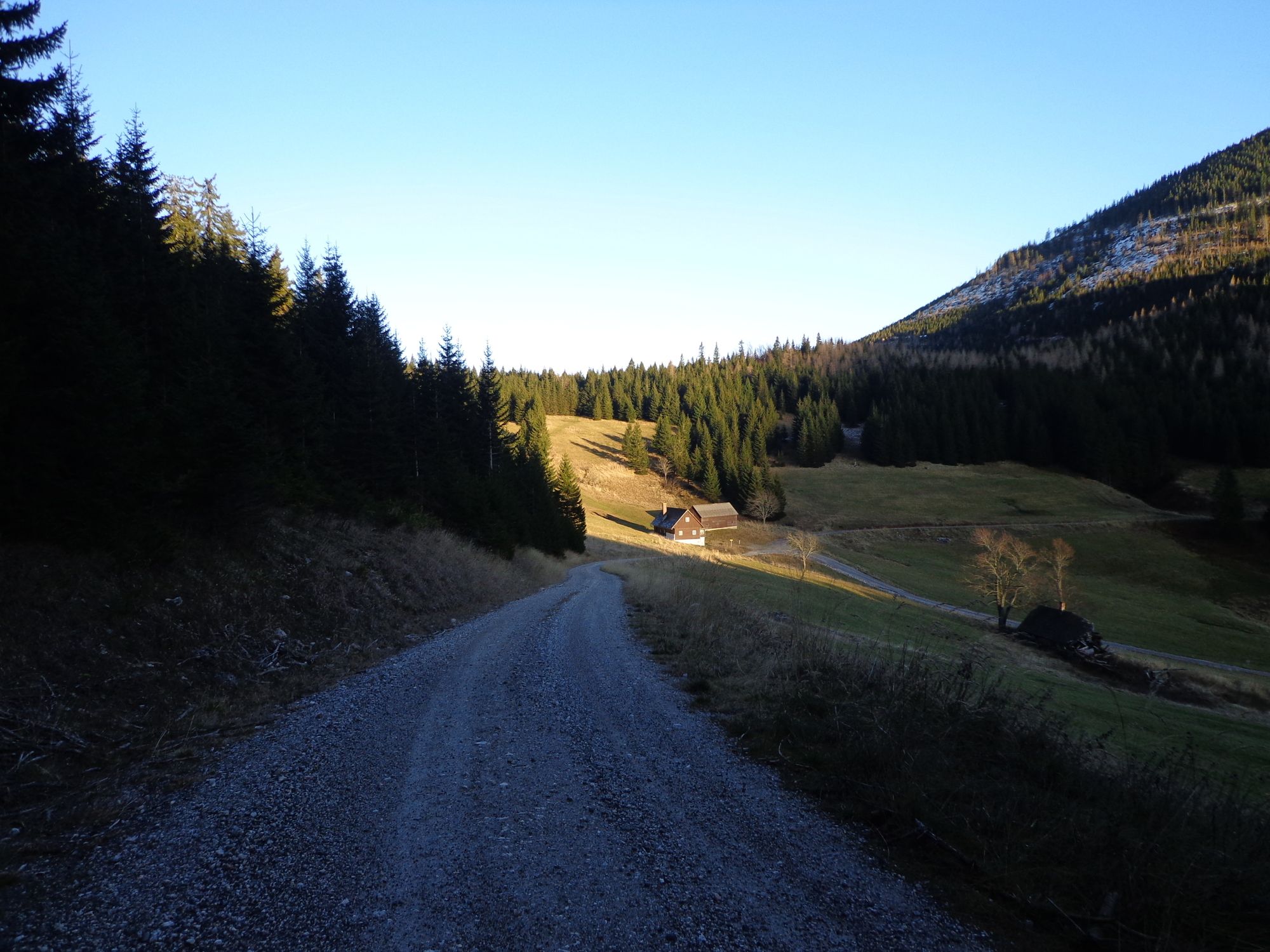
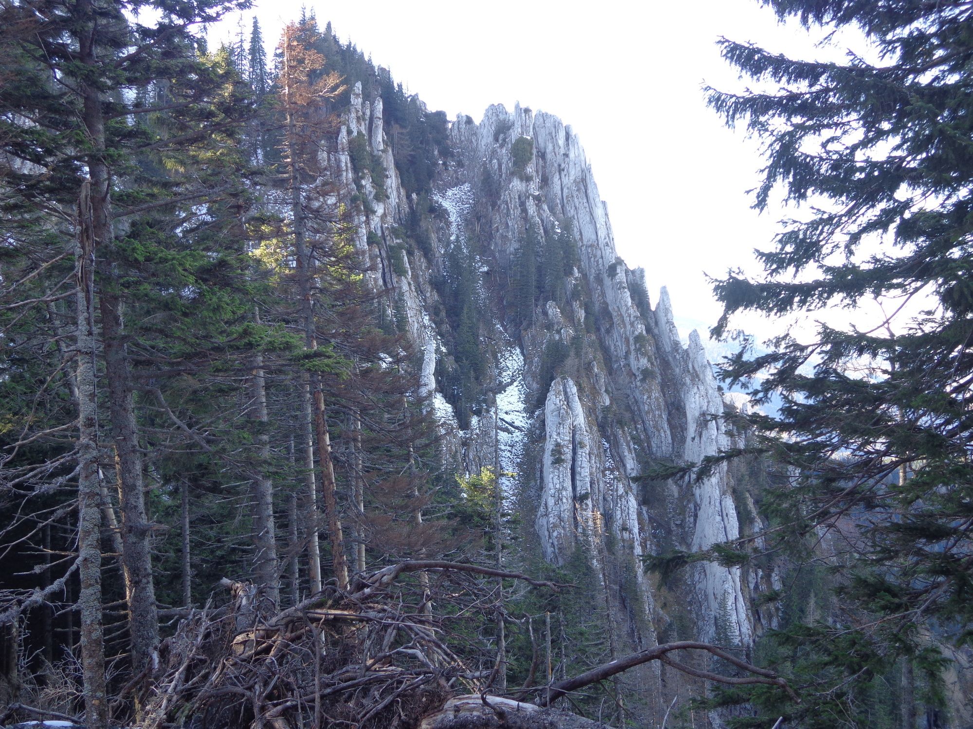
Von Schwarzau/Gebirge/Ghf. Triebl über Preinecksattel- Gippelmauer - Gippel-Forststraße Gippelalm- Gescheidl - Ghf Triebl
- Vaikeus
-
tapa
- Arviointi
-
- Lähtöpiste
-
Ghf Triebl
- Reitti
-
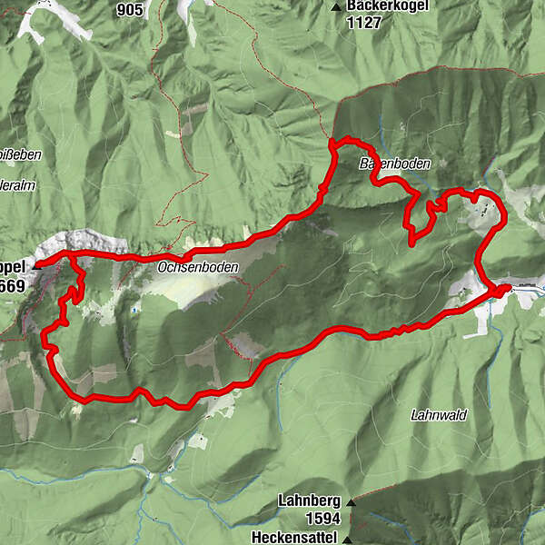
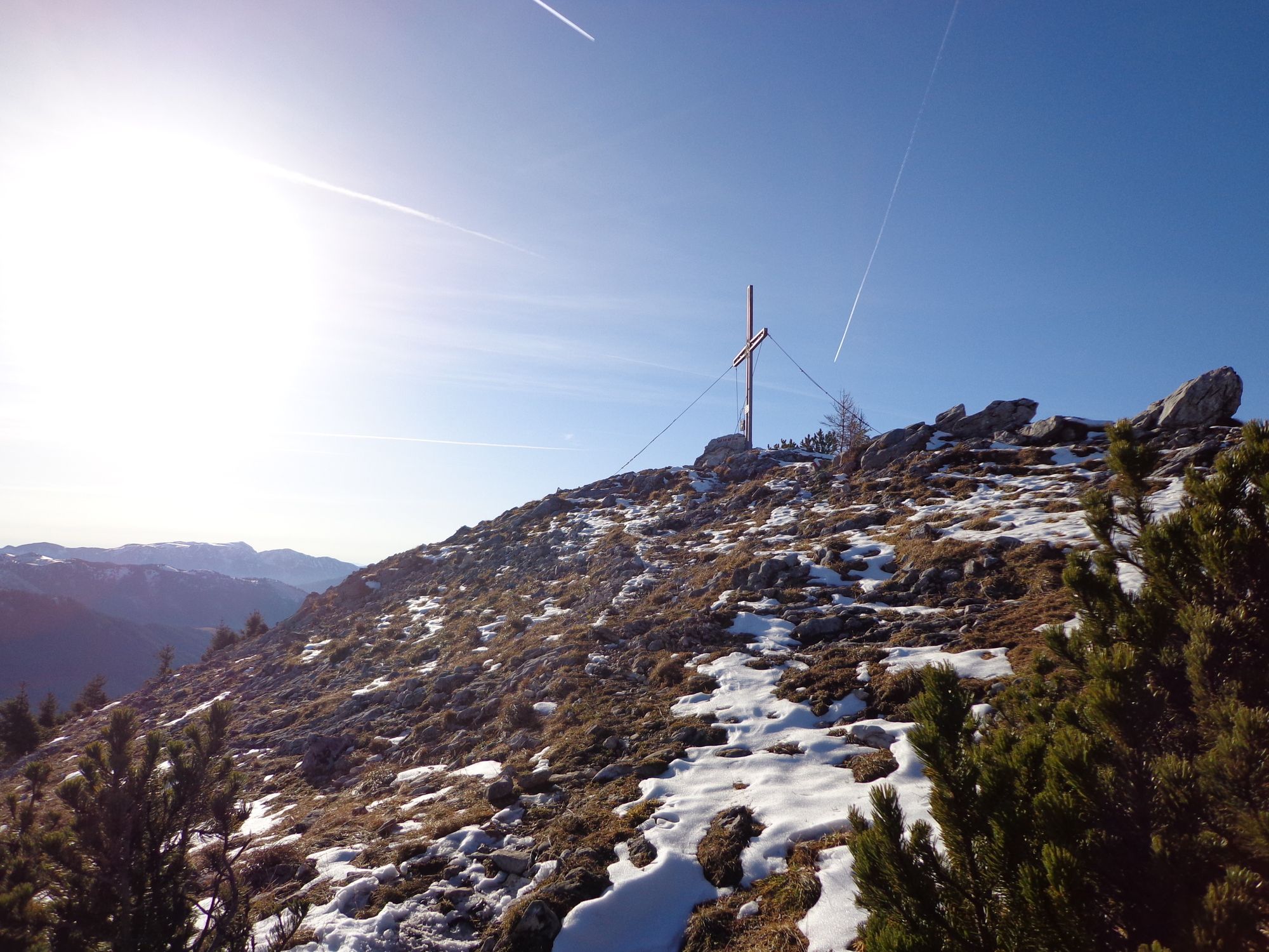
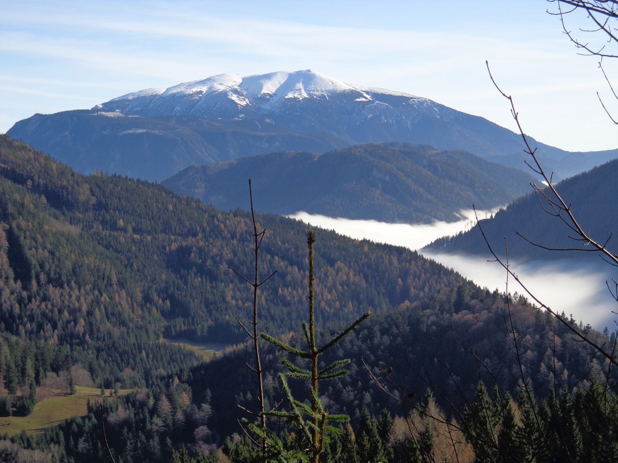
PreintalPreinecksattel (1.302 m)4,7 kmSchwarzauer Gippel (1.624 m)6,3 kmGippeltörl (1.533 m)7,3 kmGippel (1.669 m)8,3 kmFingerhutschacht9,0 kmHalterloch9,4 kmGippelalmhöhle9,5 kmPreintal15,7 km
- Paras kausi
-
tammihelmimaalishuhtitoukokesäheinäelosyyslokamarrasjoulu
- Korkein kohta
- 1.669 m
- Kohde
-
Gippel

GPS Downloads


Polun olosuhteet
Asfaltti
Sora
Niitty
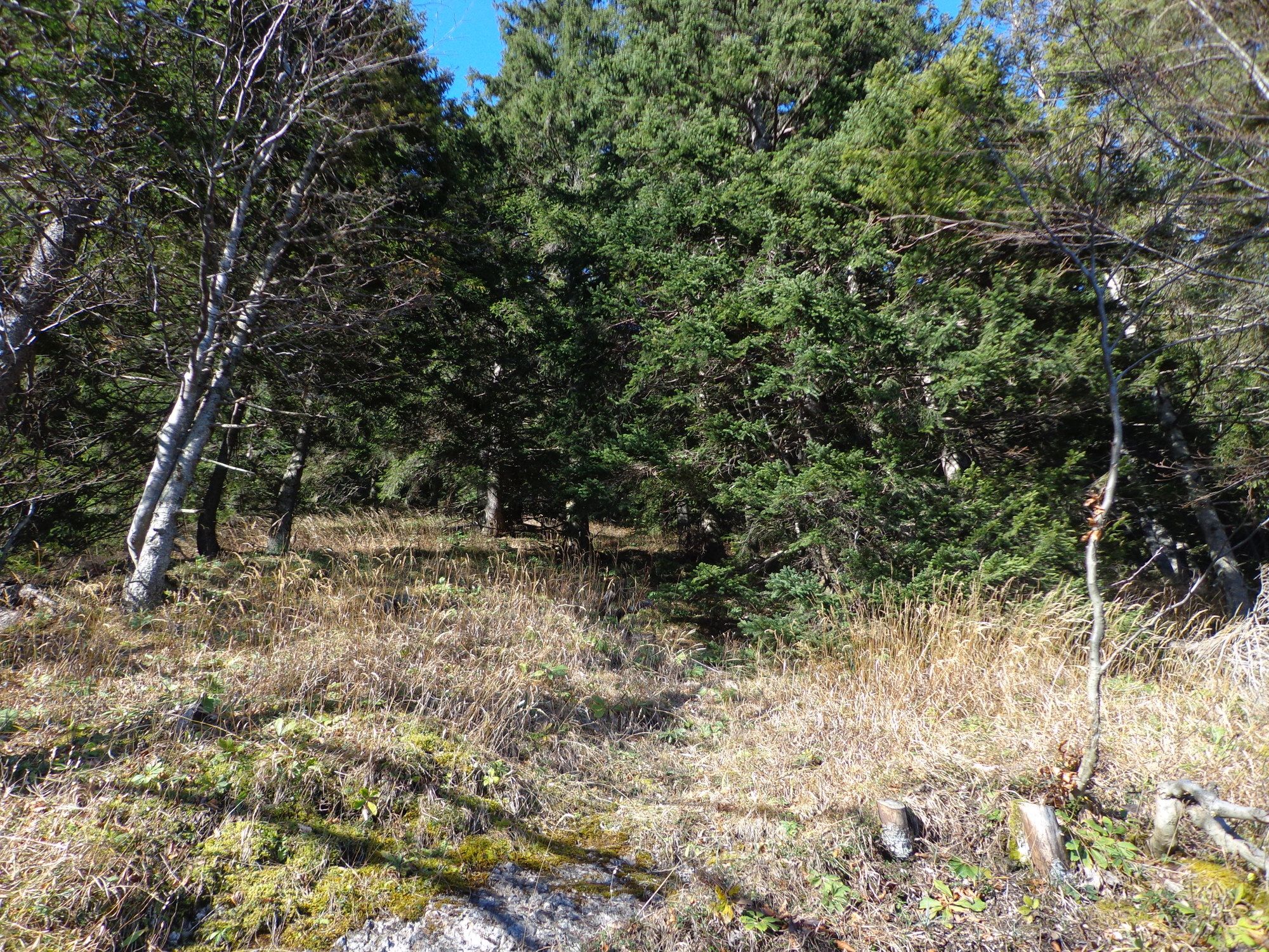
Metsä
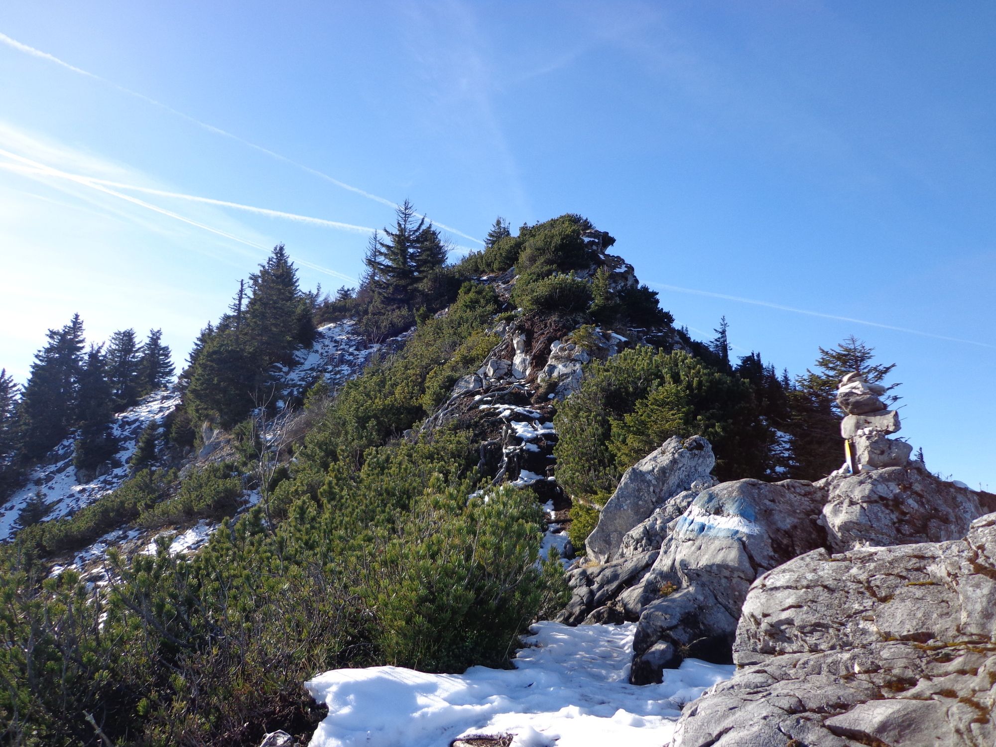
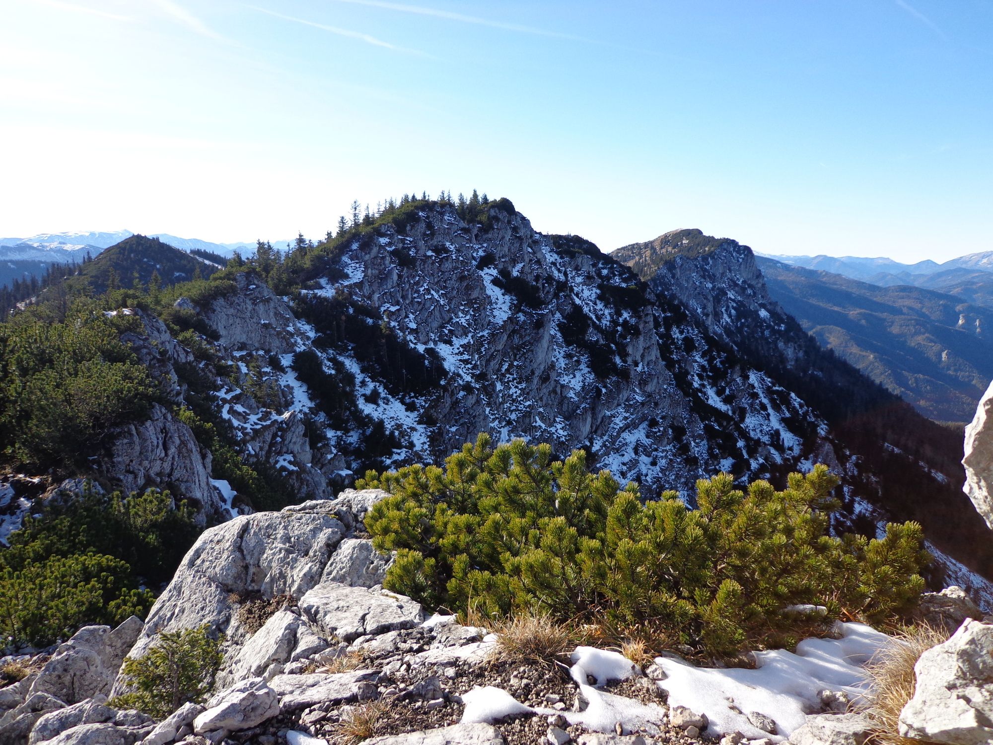
Kallio
Altistettu
Lisää retkiä alueilla
-
Hochsteiermark
4060
-
Naturpark Mürzer Oberland
1930
-
St. Aegyd am Neuwalde
286


