© gert gasperin

© gert gasperin

© gert gasperin

© gert gasperin

© gert gasperin

© gert gasperin

© gert gasperin

© gert gasperin

© gert gasperin

© gert gasperin
Retkitiedot
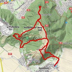
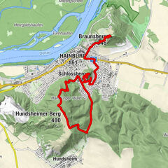
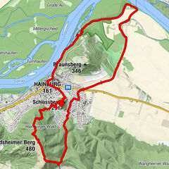
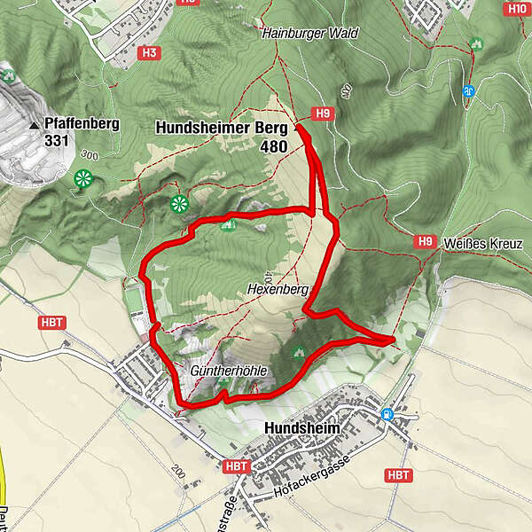
4,75km
231
- 473m
251hm
250hm
02:30h
- Lyhyt kuvaus
-
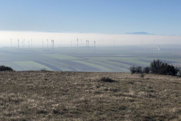
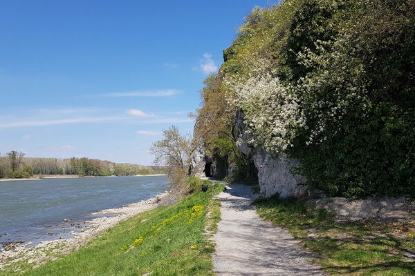
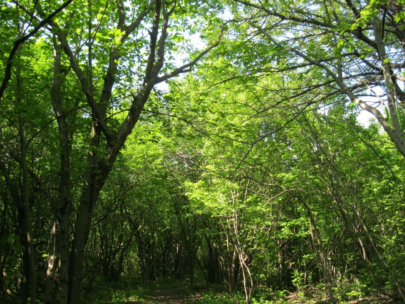
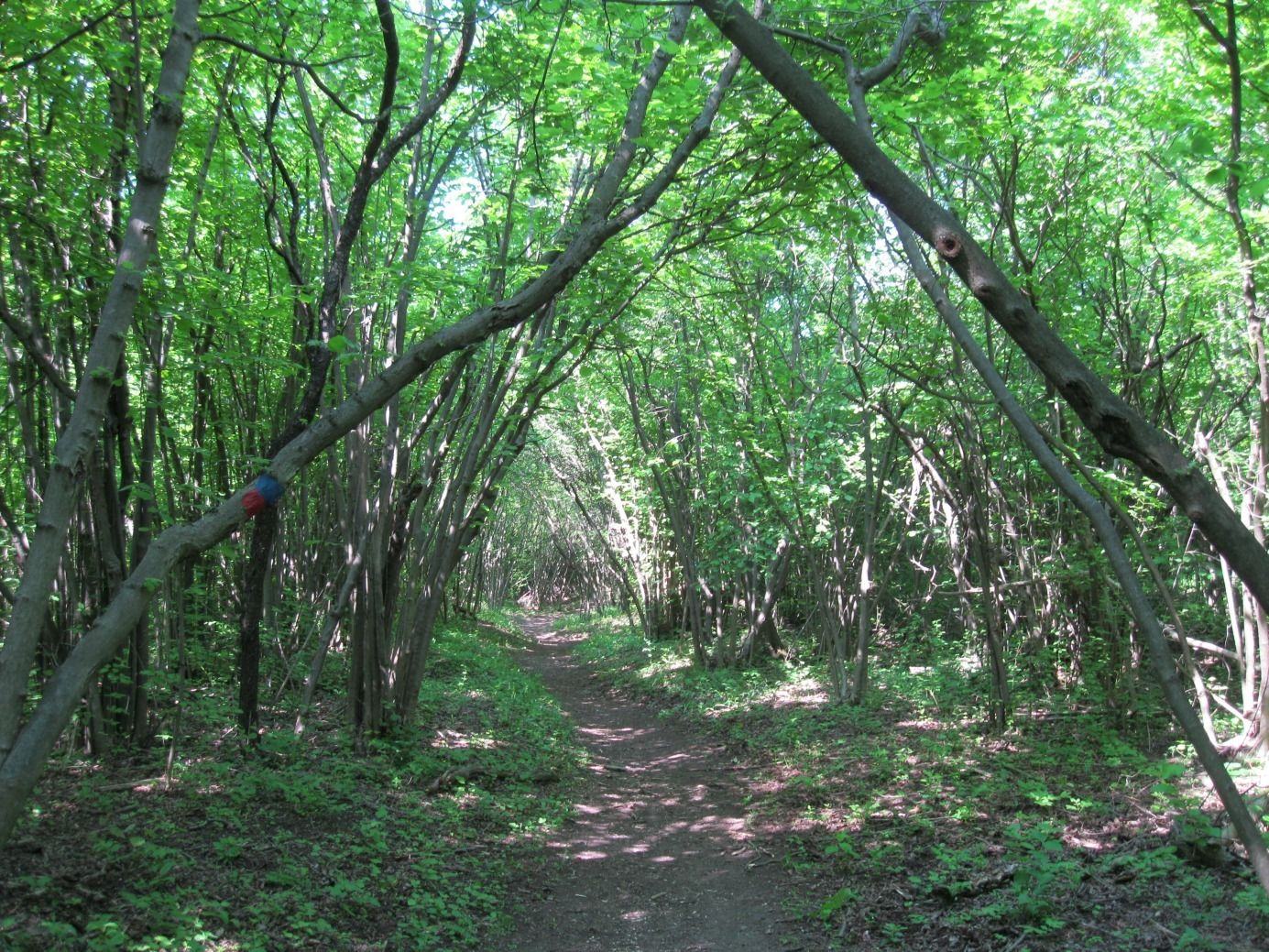
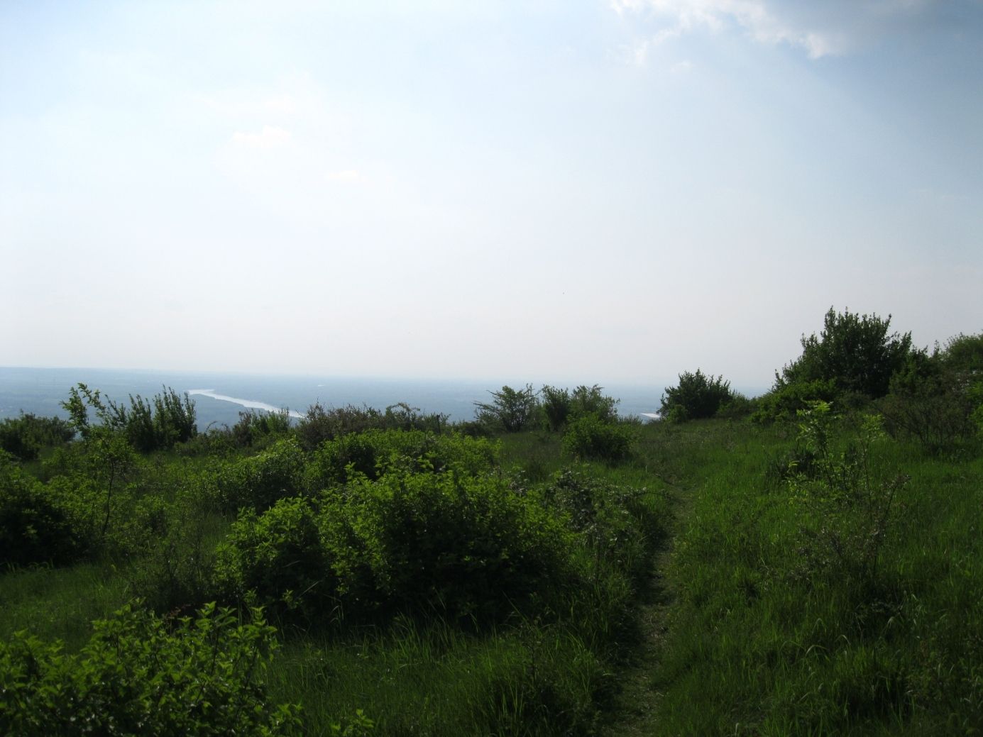
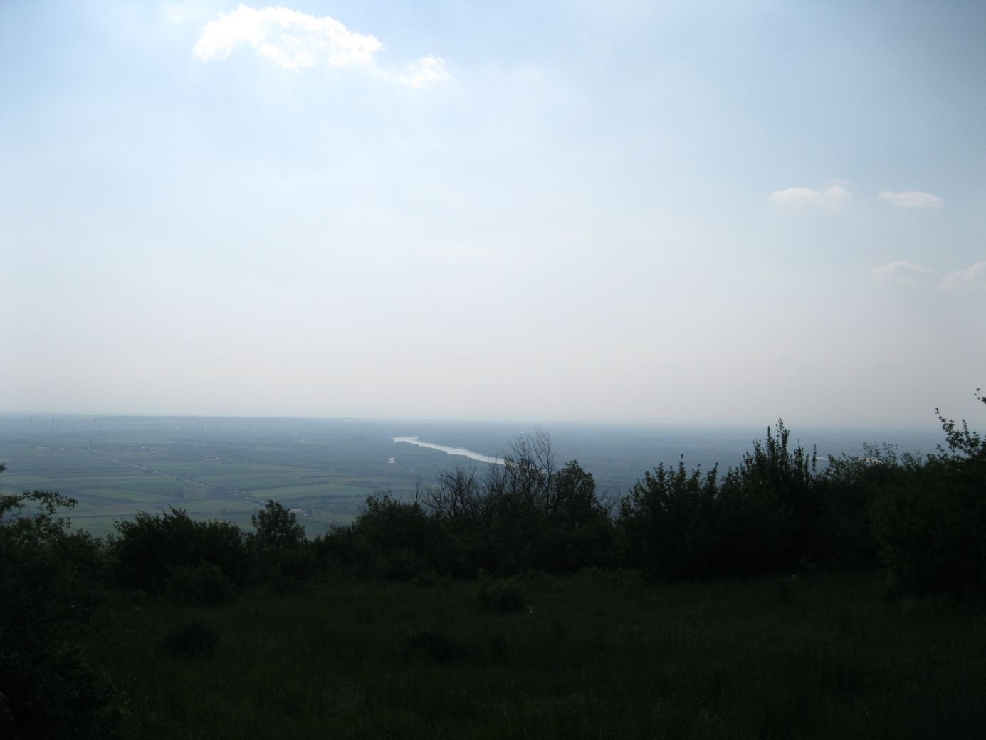
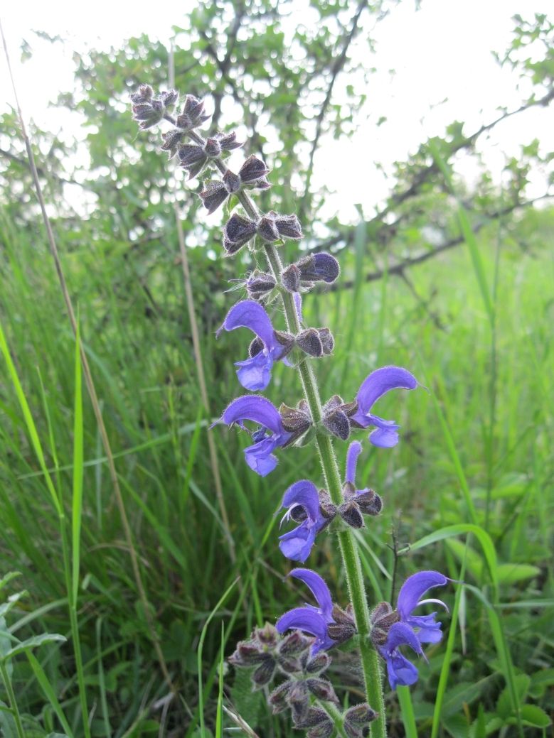
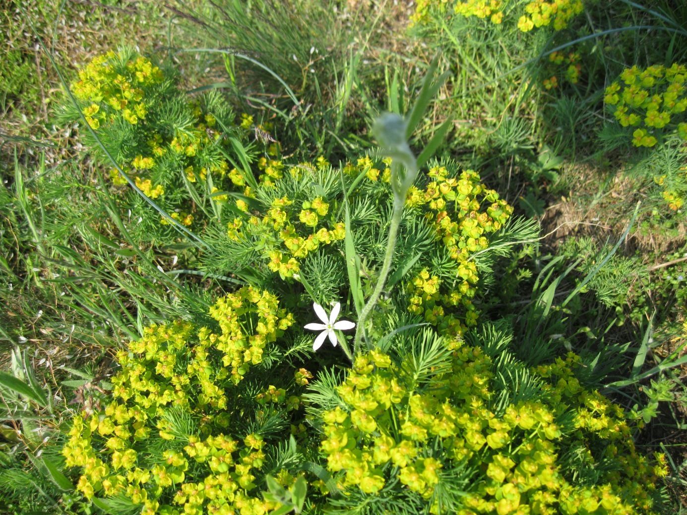
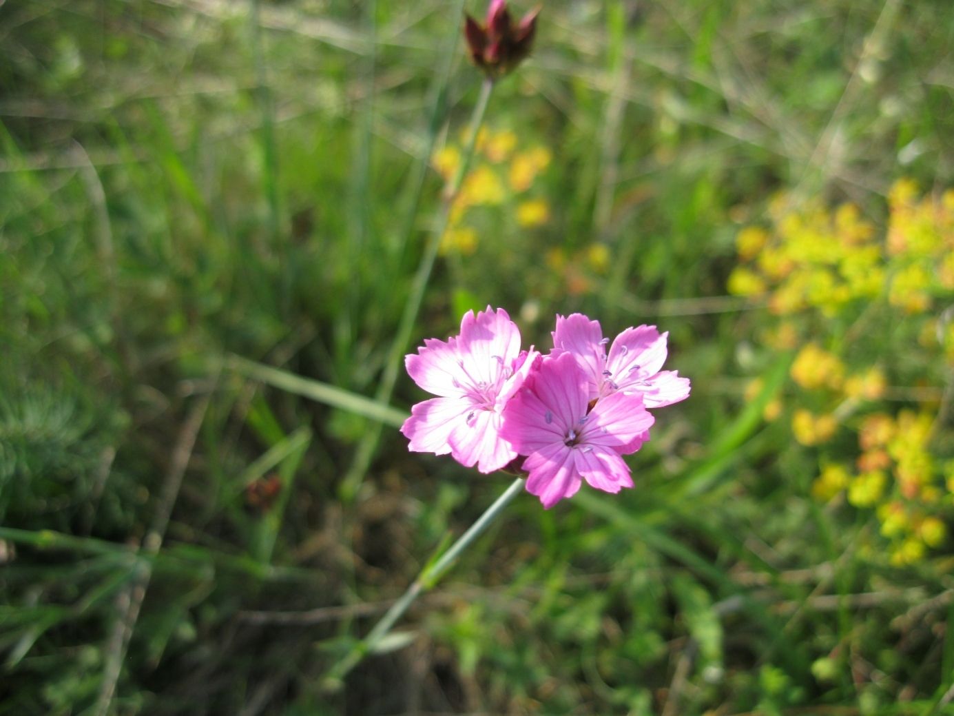
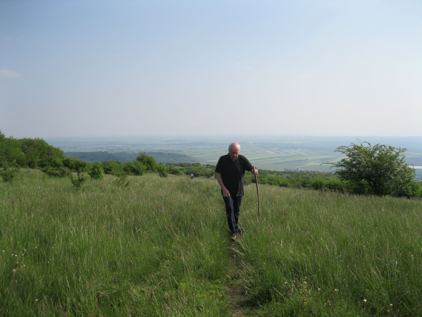
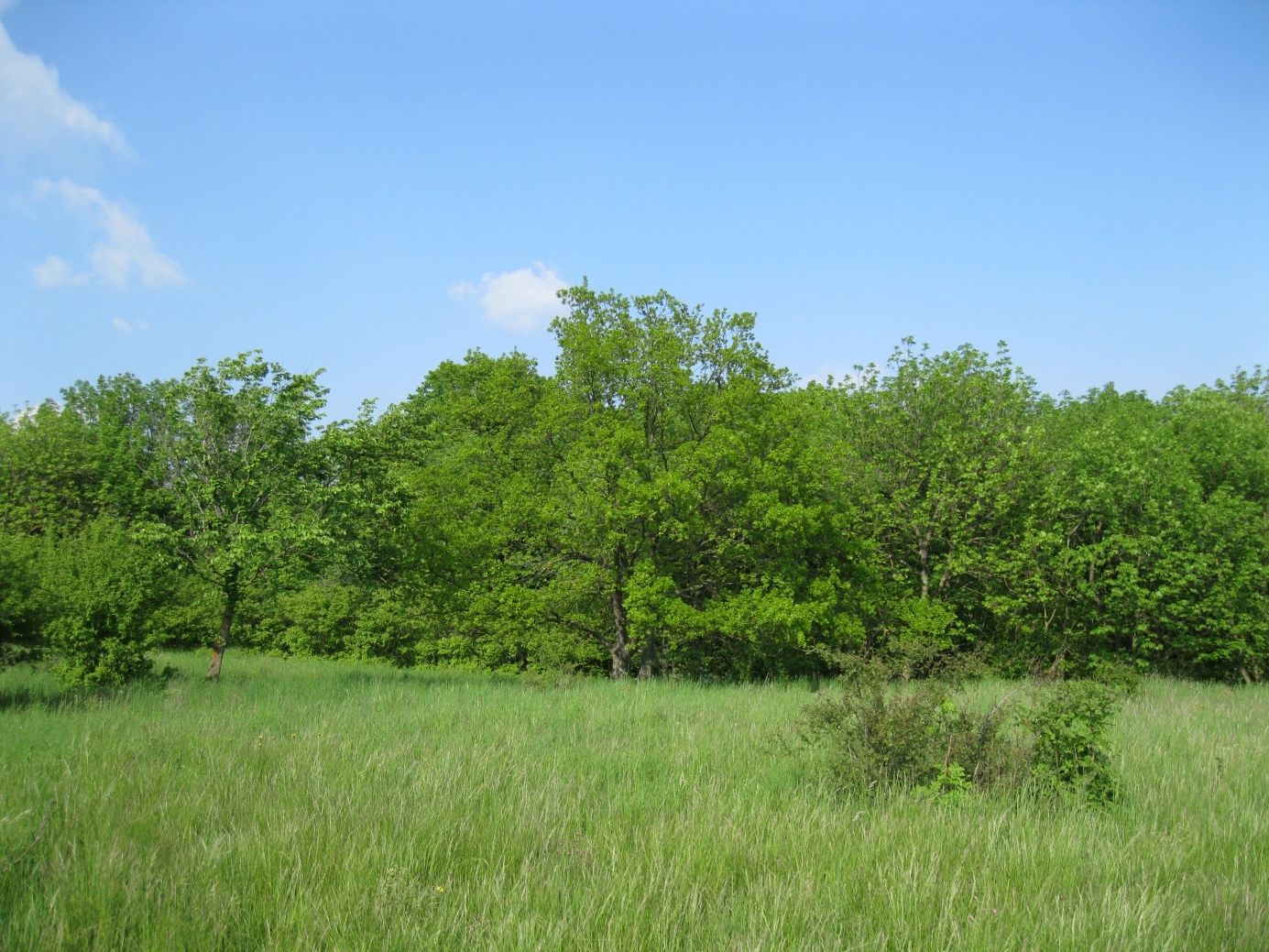
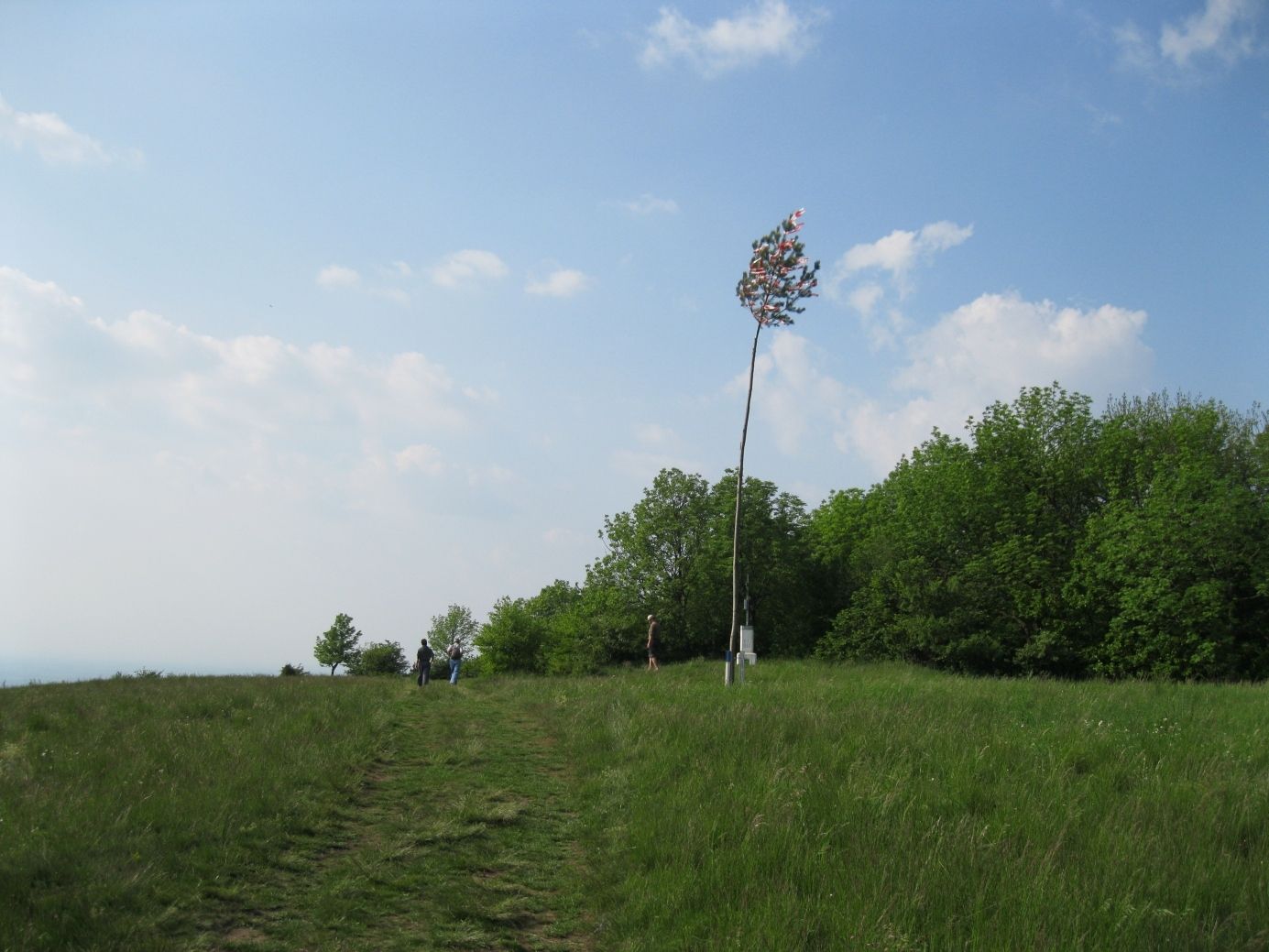
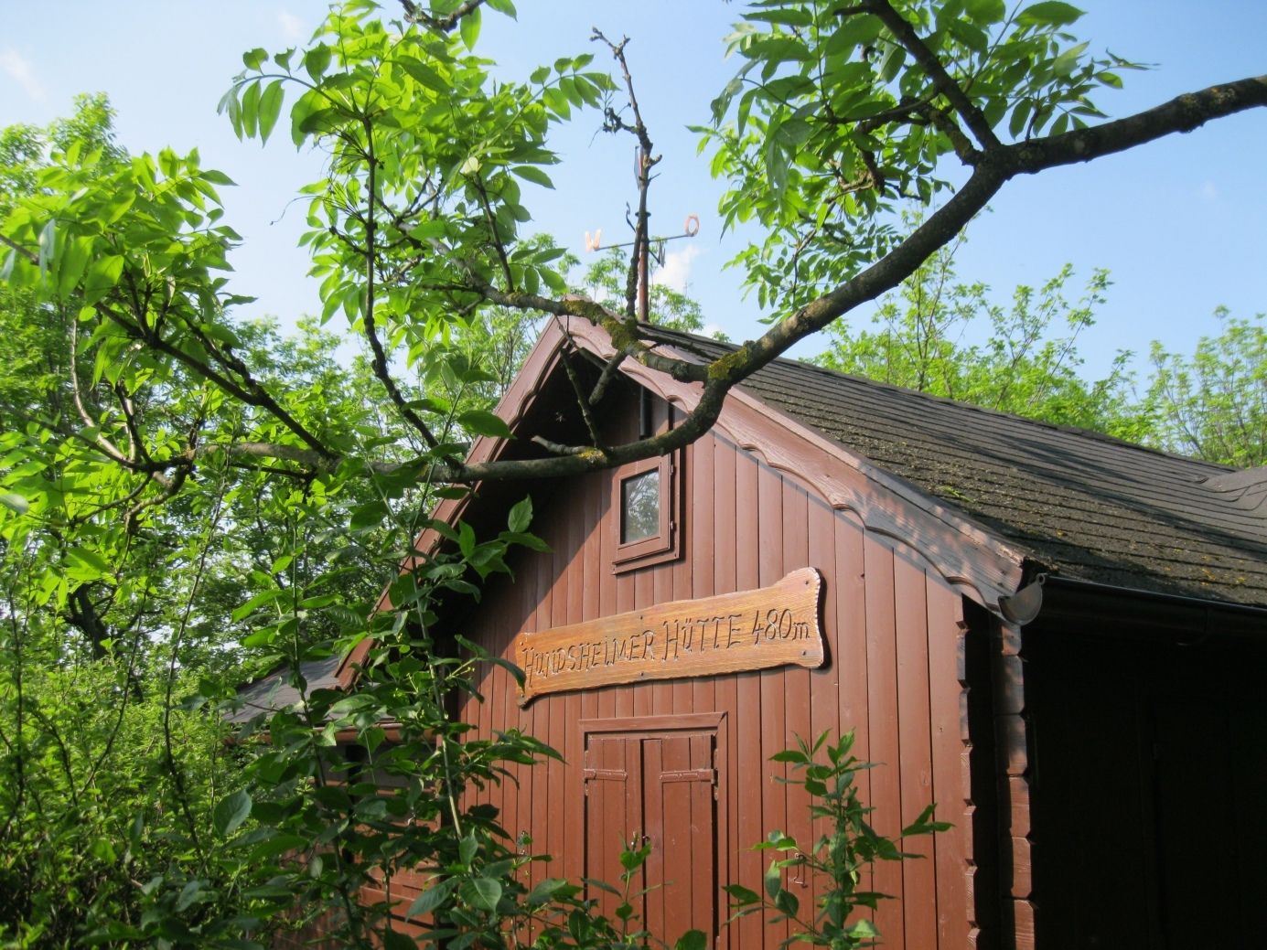
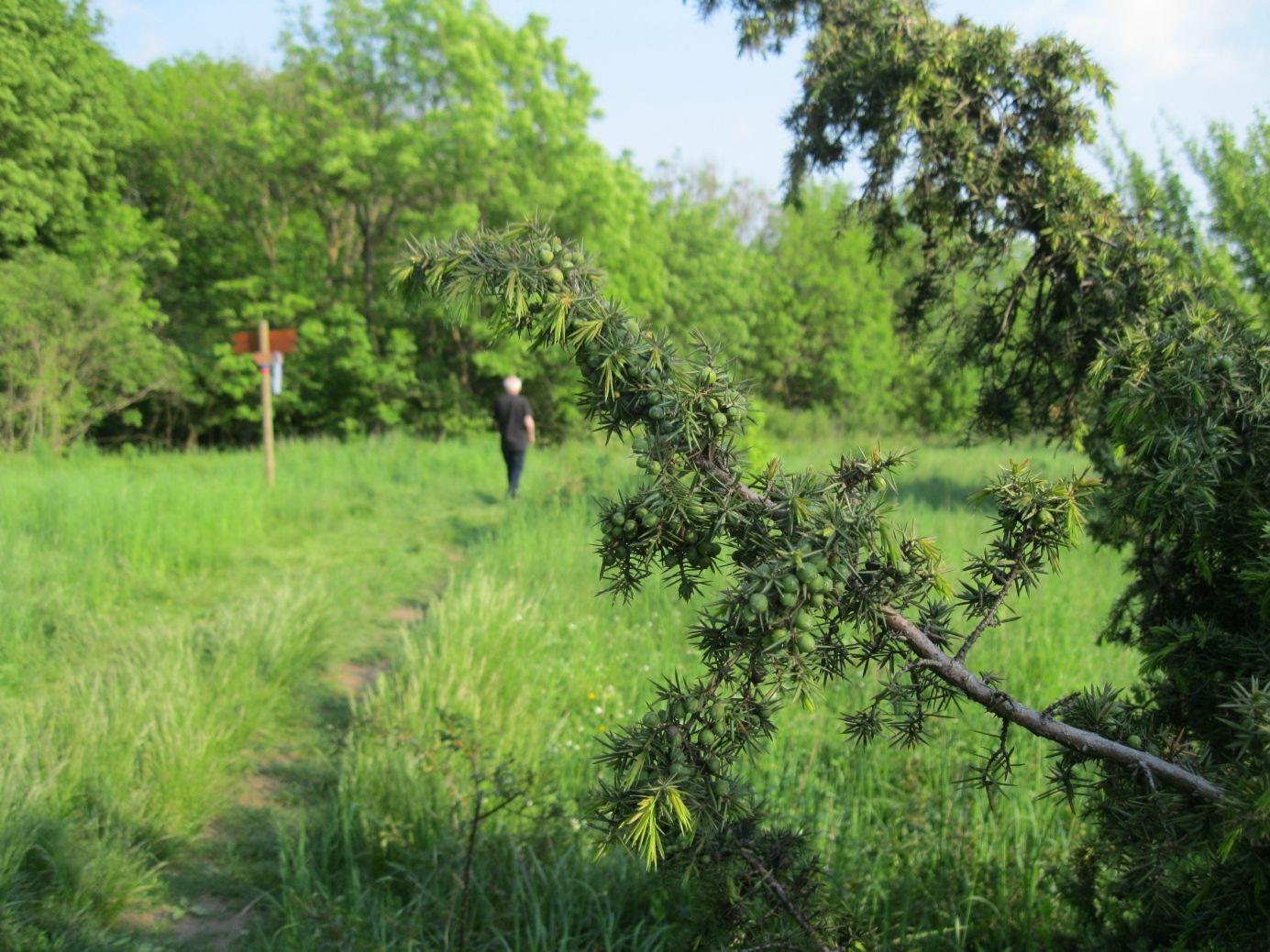
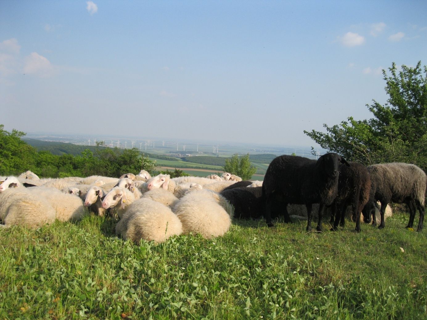
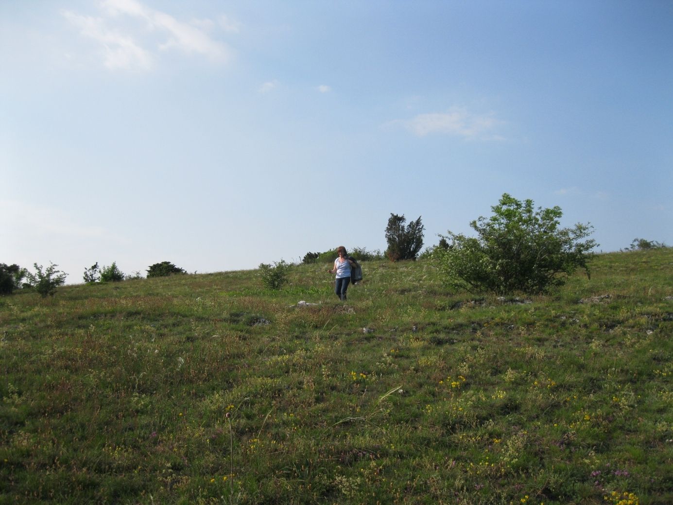
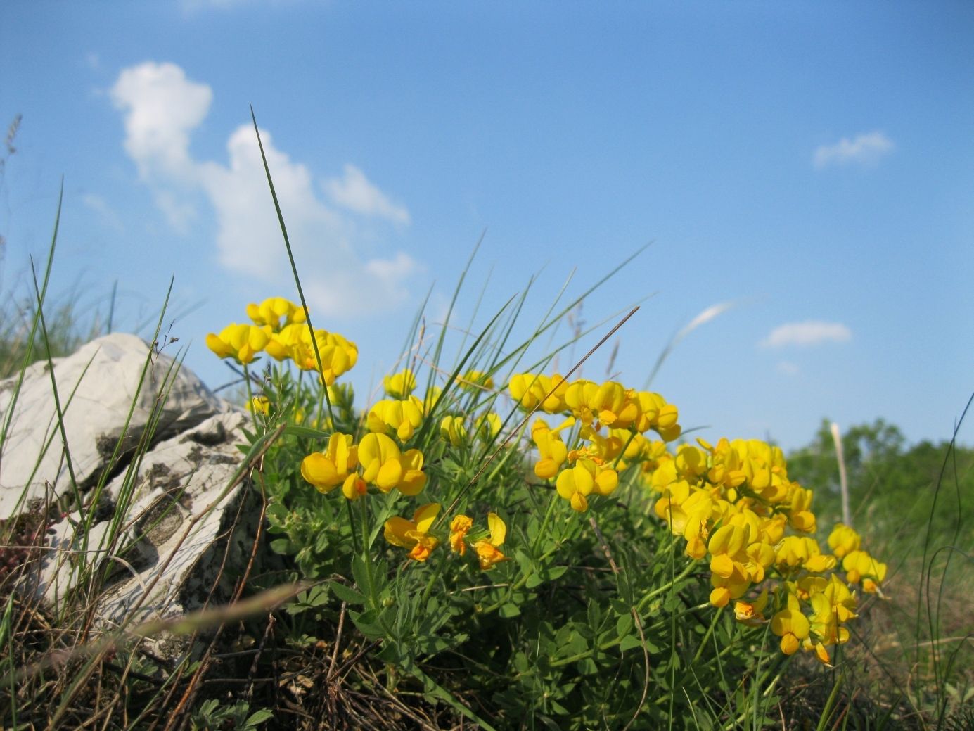
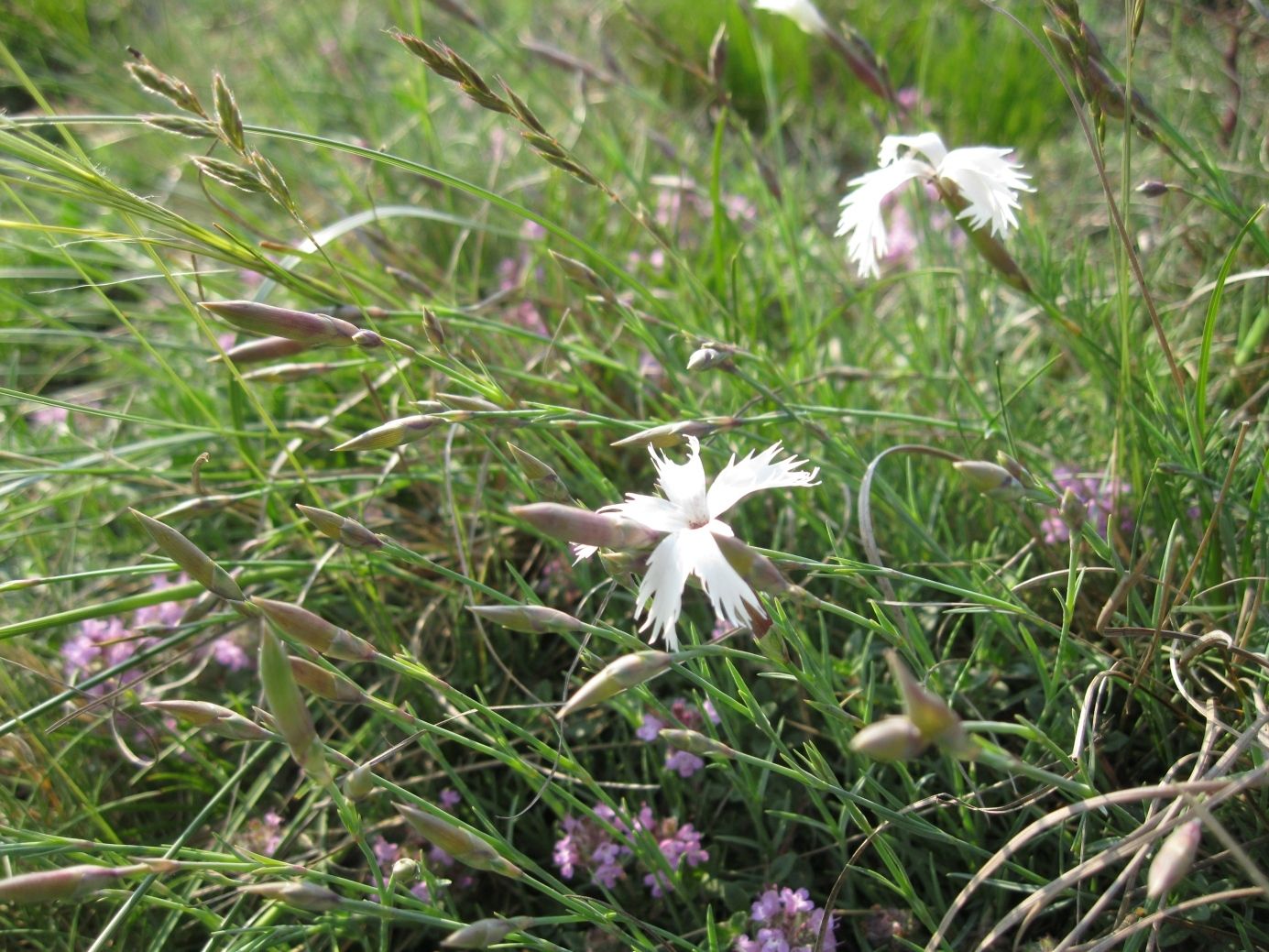
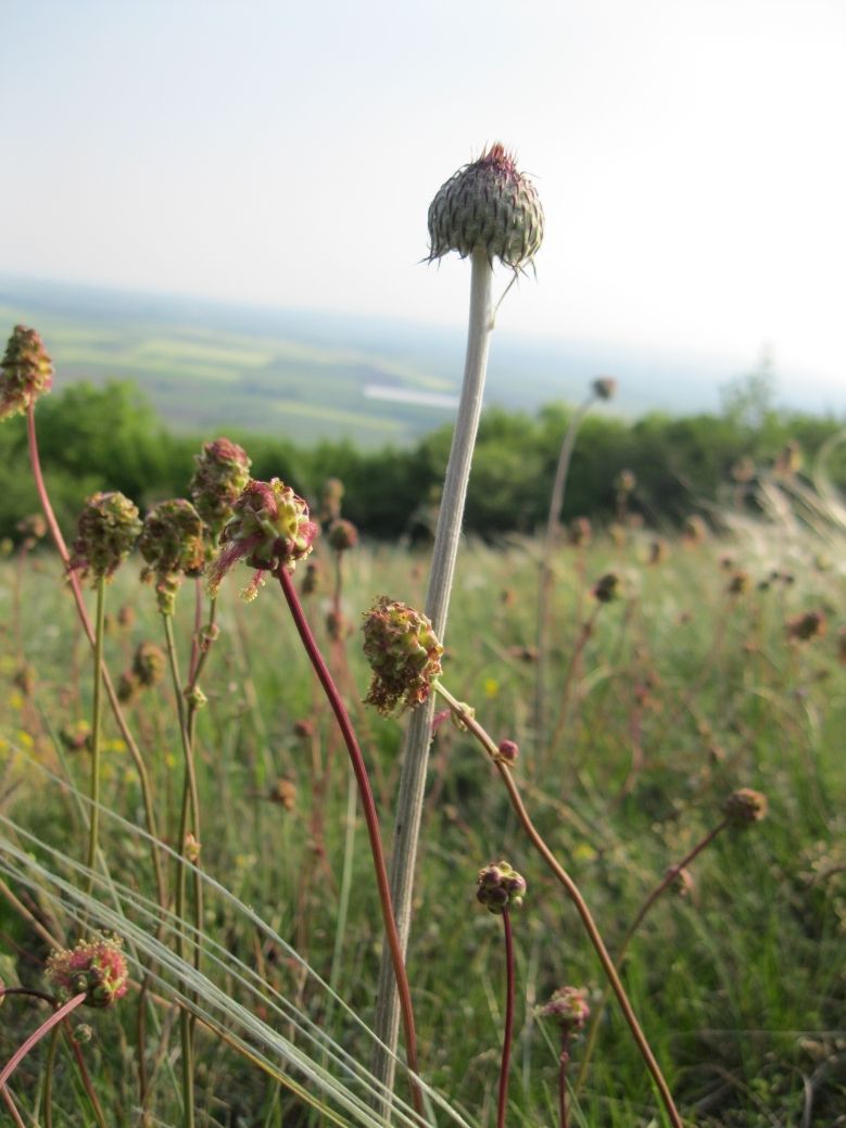
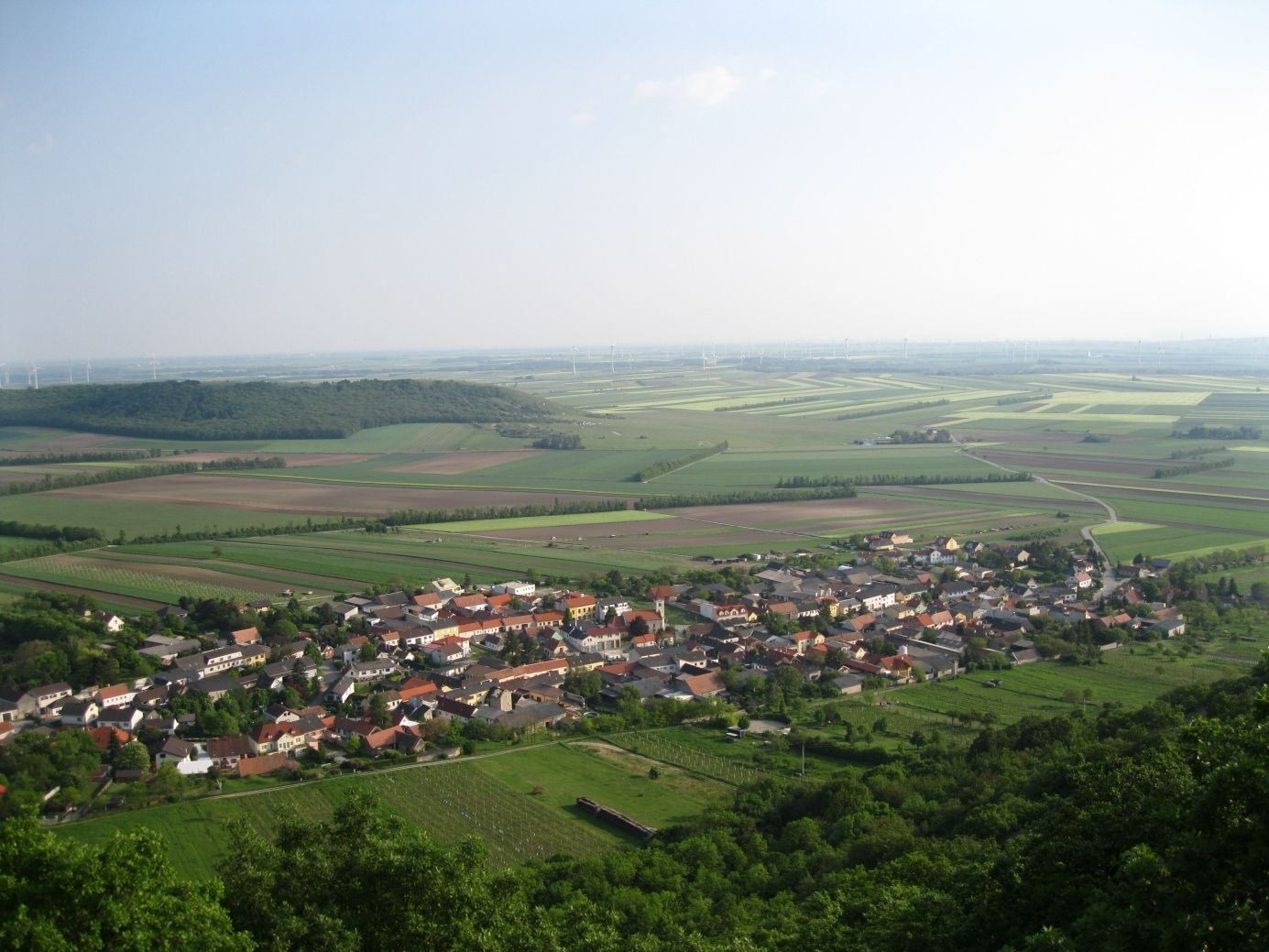
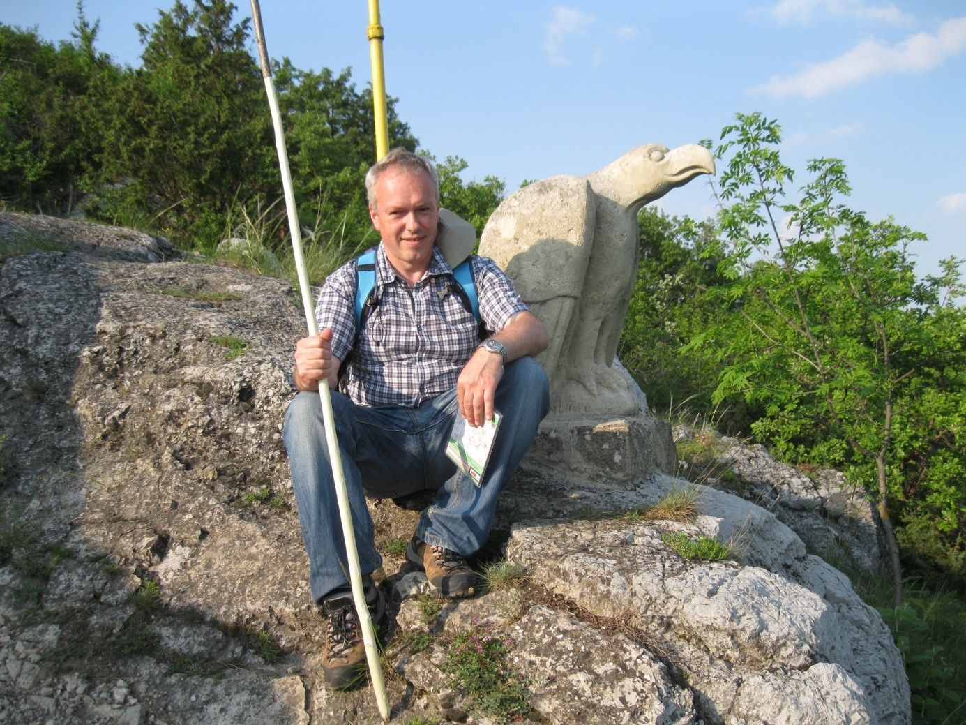
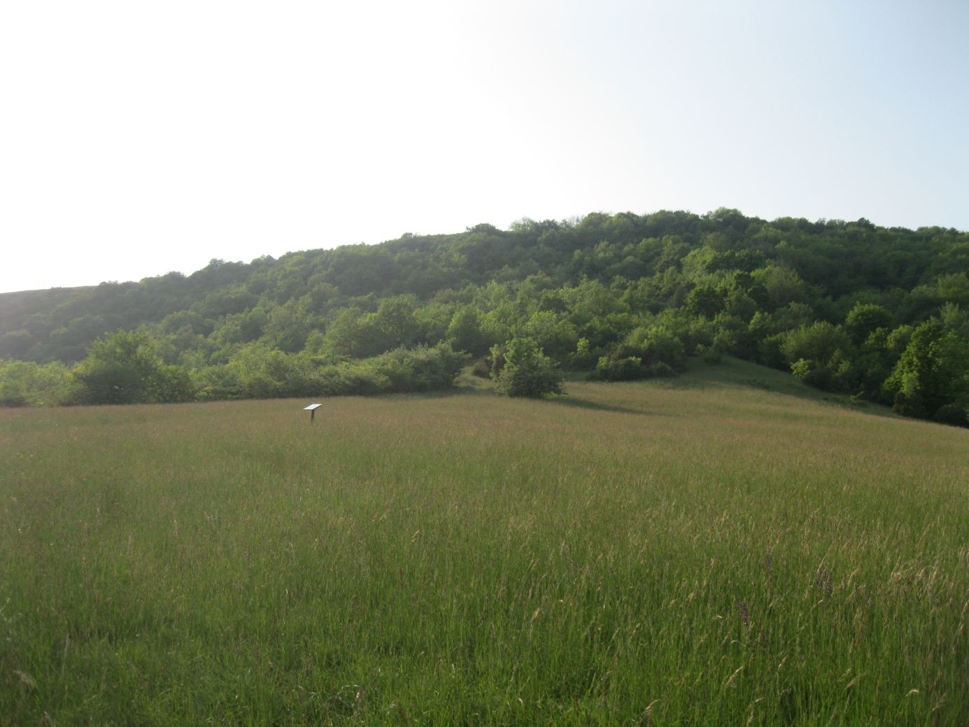
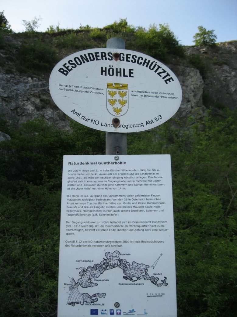
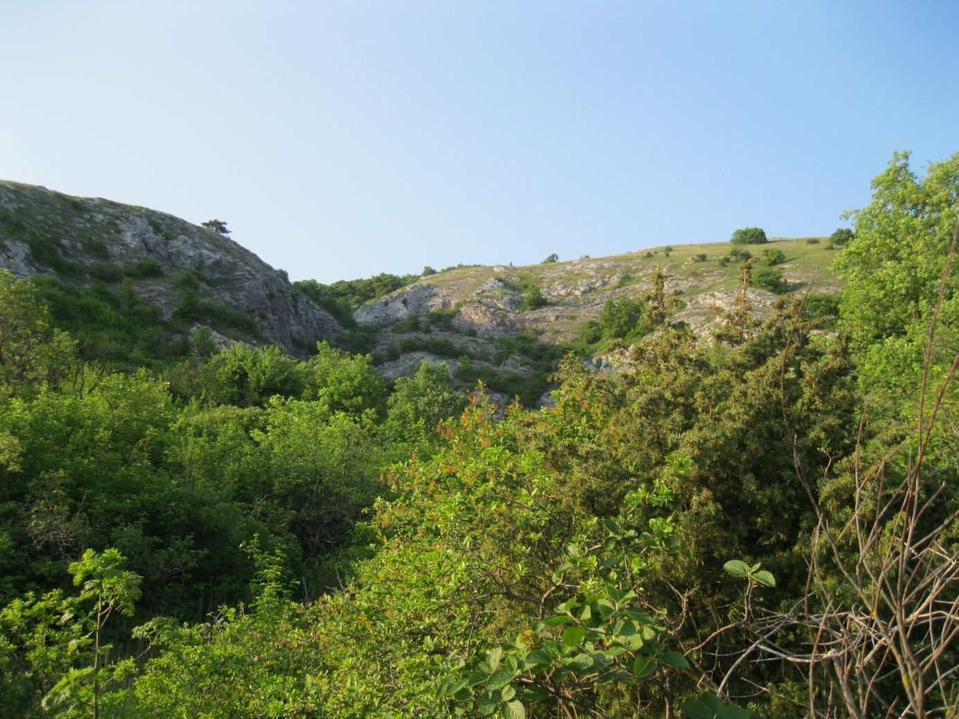
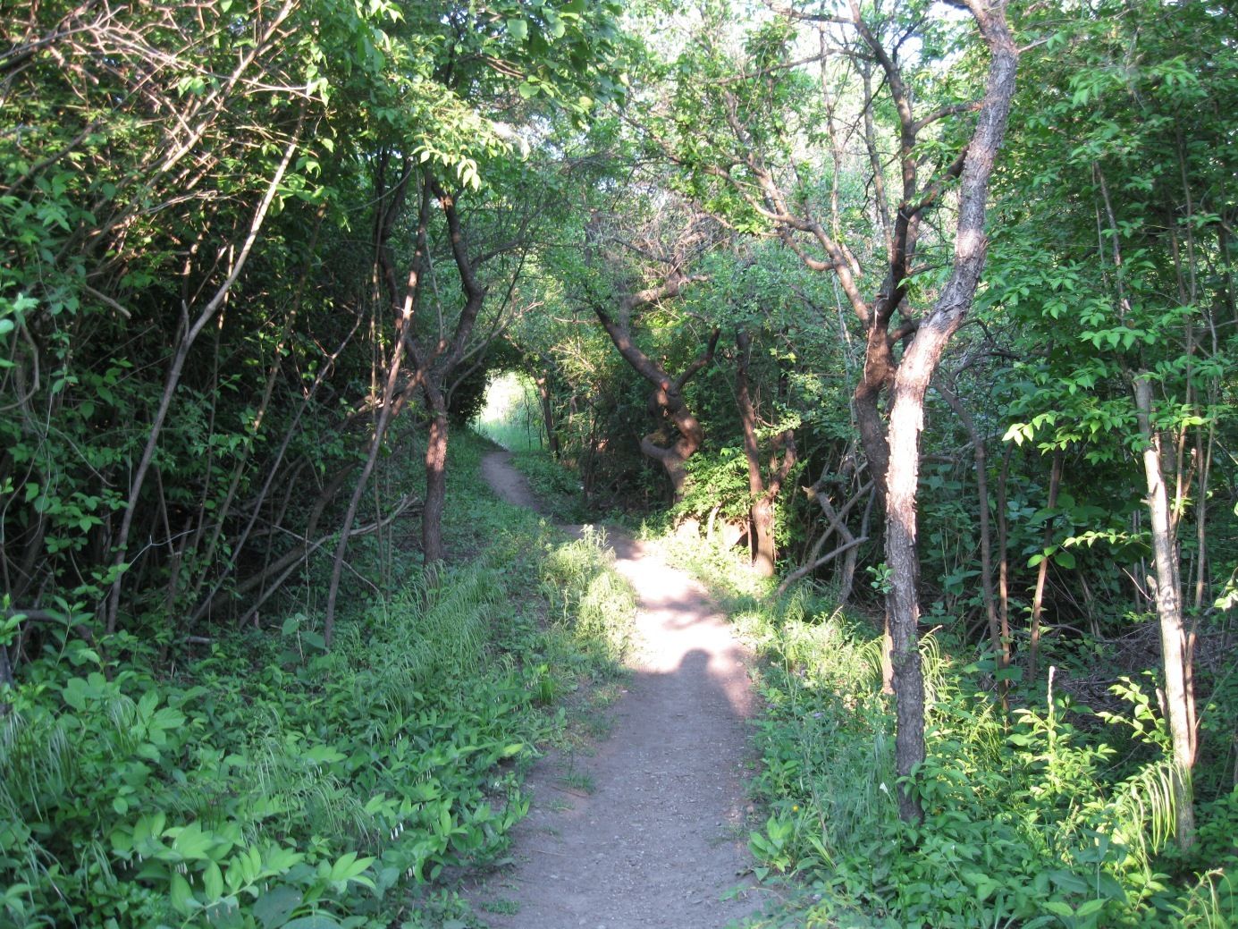
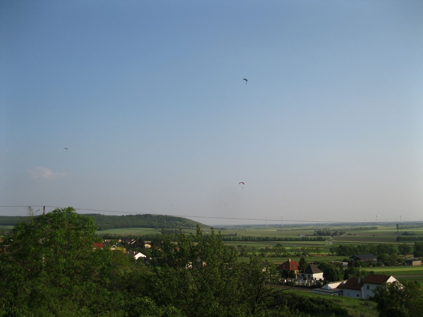
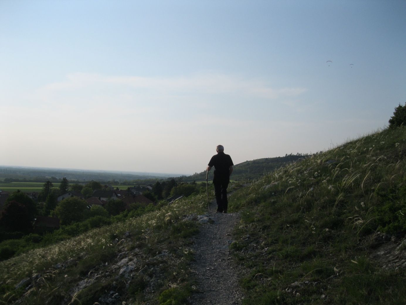
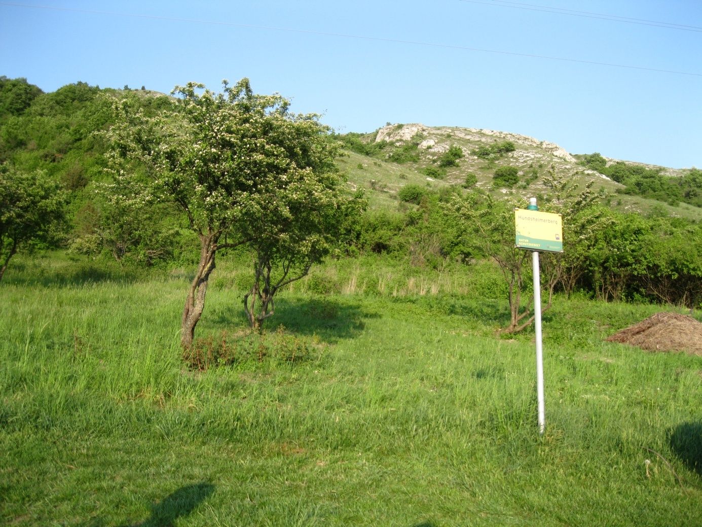
Am Sportplatz Hundsheim, am Fuße des Hundsheimer Berg beginnen wir unsere Nachmittagswanderung, teils durch Laubwälder, teils über Trockenrasen zum Hundsheimer Berg und Hexenberg, vorbei an der Güntherhöhle retour zum Sportplatz.
- Vaikeus
-
helppo
- Arviointi
-
- Lähtöpiste
-
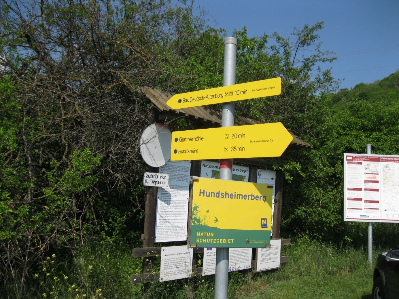
Sportplatz Hundsheim
- Reitti
-
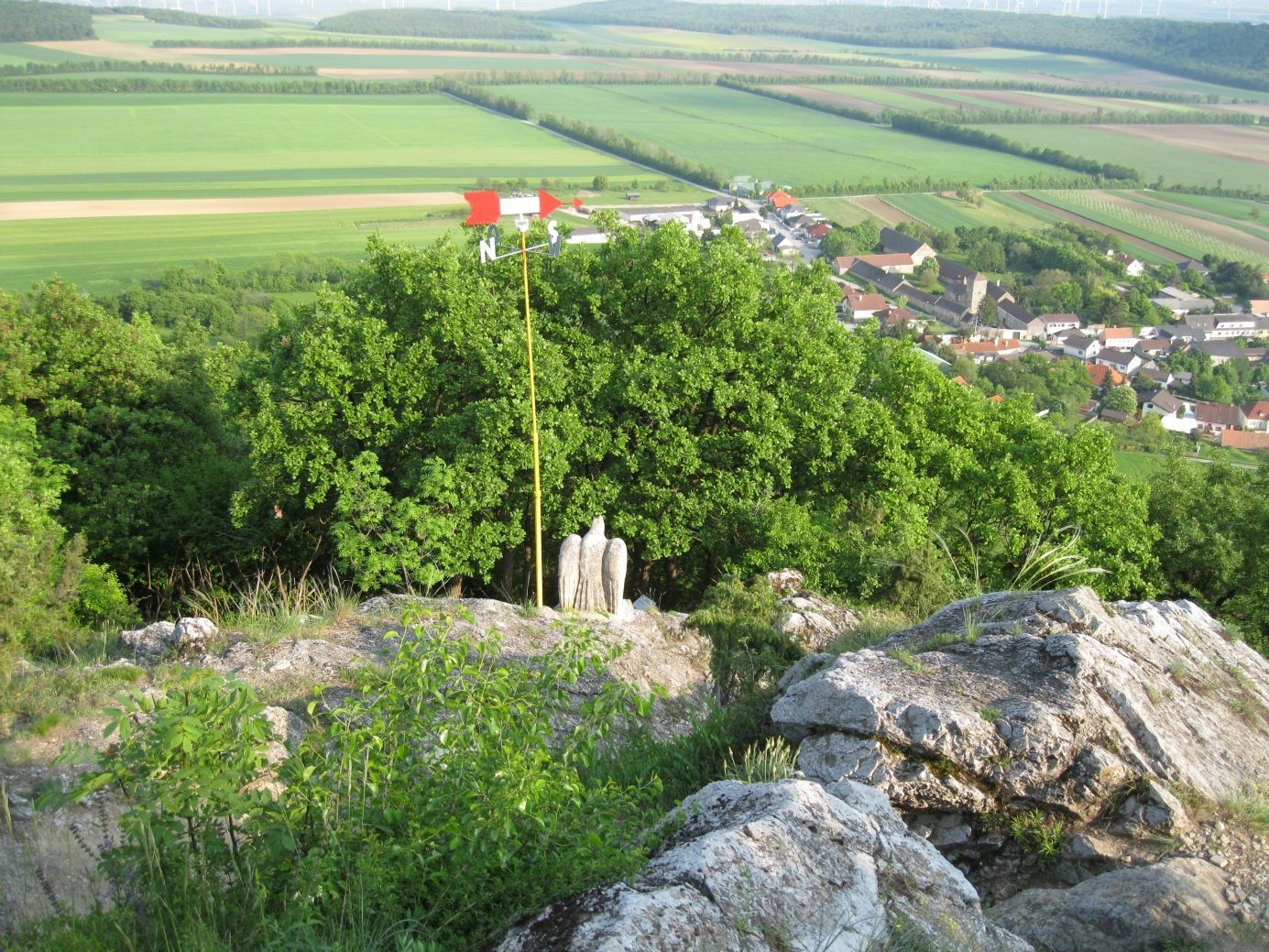
Südliche Felbernhöhle0,7 kmHundsheimer Berg (480 m)1,6 kmHexenberg (443 m)2,2 kmHundsheim3,7 km
- Paras kausi
-
tammihelmimaalishuhtitoukokesäheinäelosyyslokamarrasjoulu
- Korkein kohta
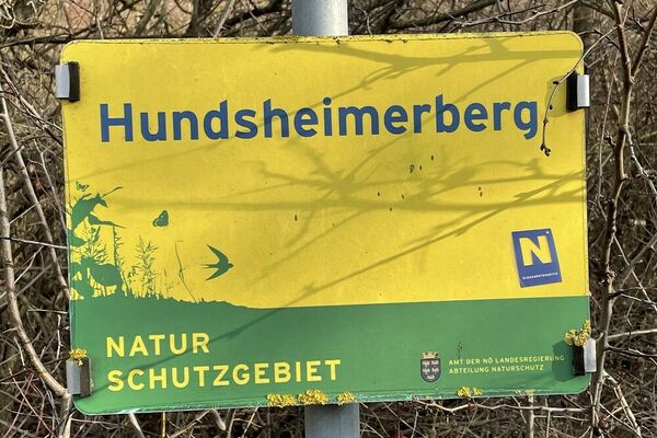
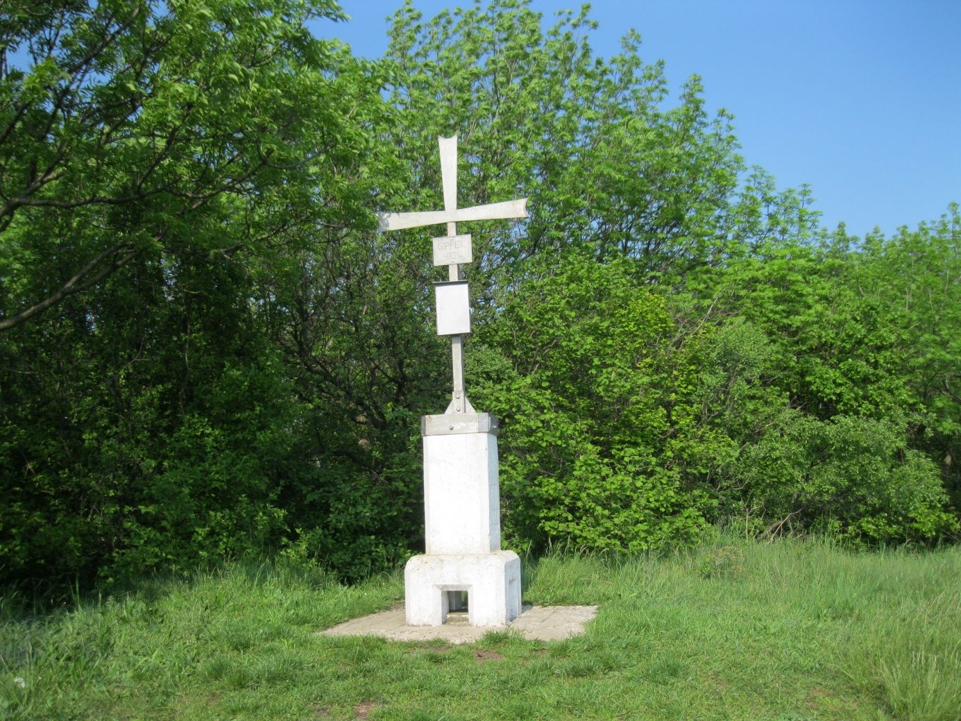
- Hundsheimer Berg (473 m)
- Kohde
-
Hundsheimer Berg
- Karttamateriaali
-
BEV


GPS Downloads


Polun olosuhteet
Asfaltti
Sora
Niitty
Metsä
Kallio
Altistettu
Lisää retkiä alueilla