
Retkitiedot
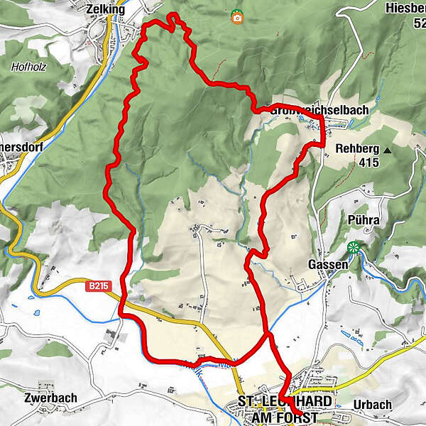
16,22km
235
- 477m
469hm
472hm
03:40h
- Lyhyt kuvaus
-
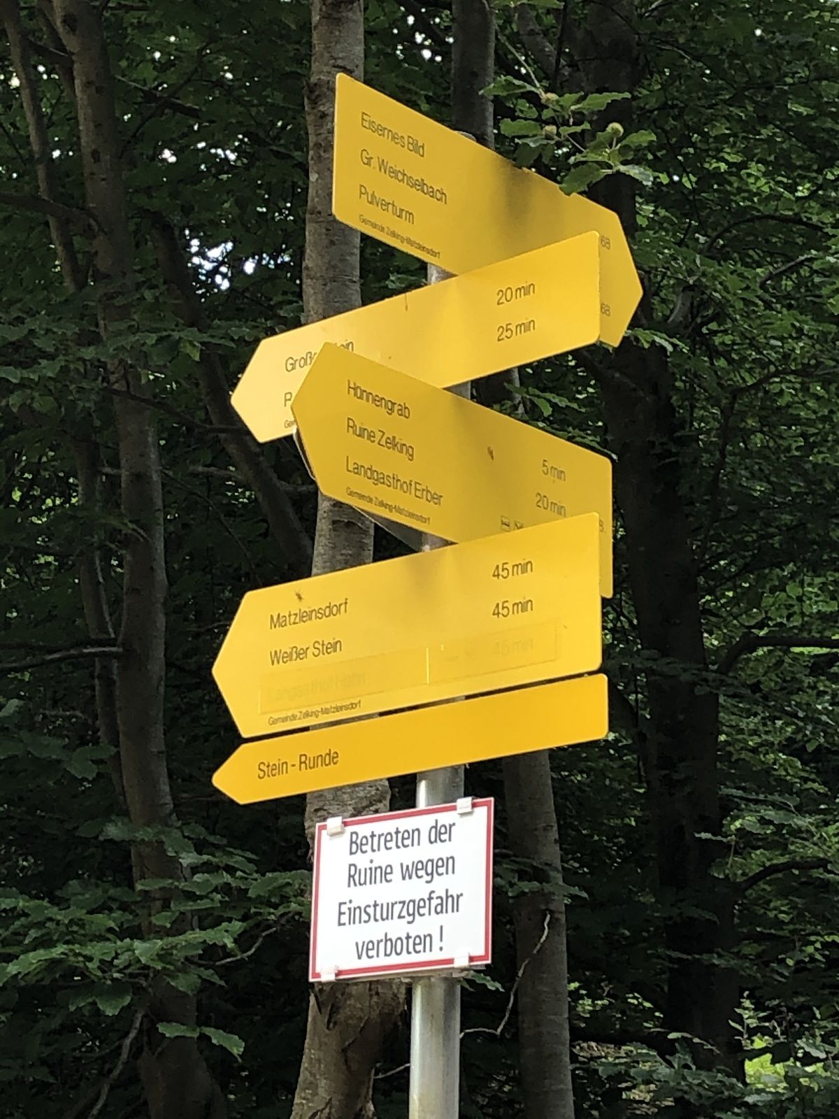
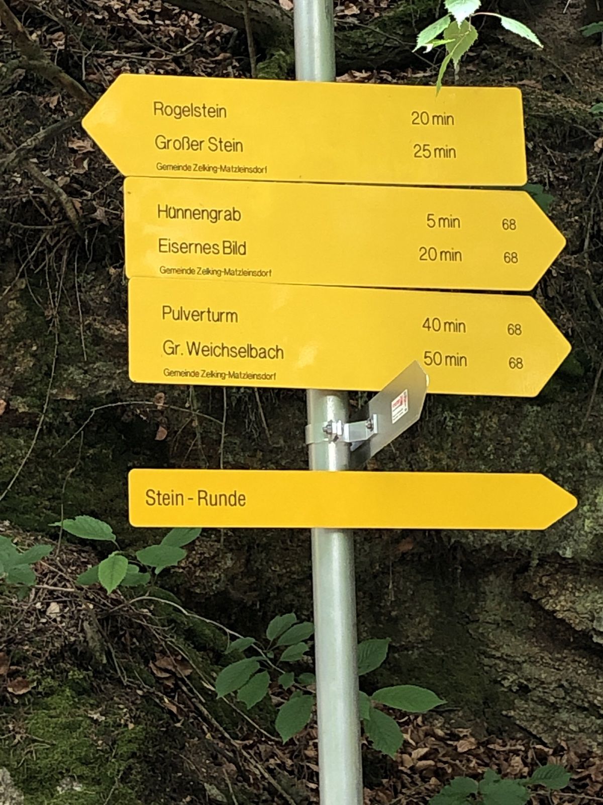
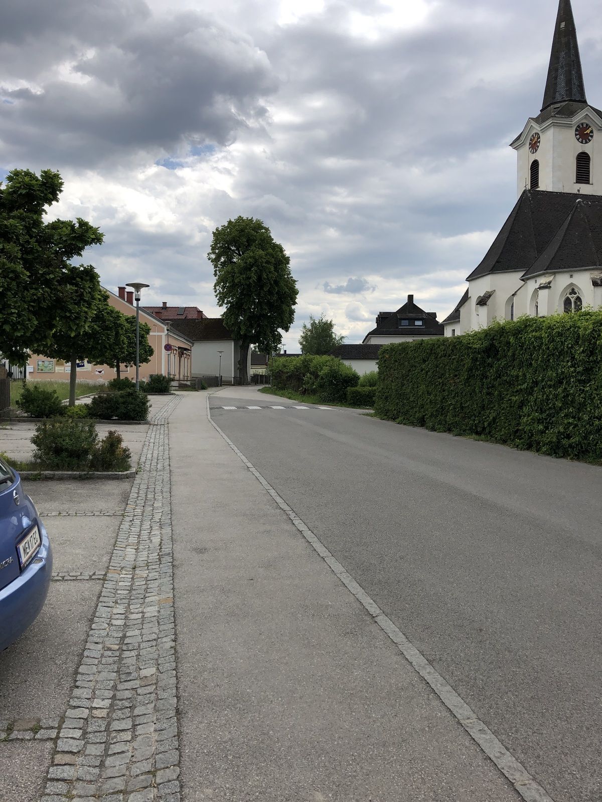
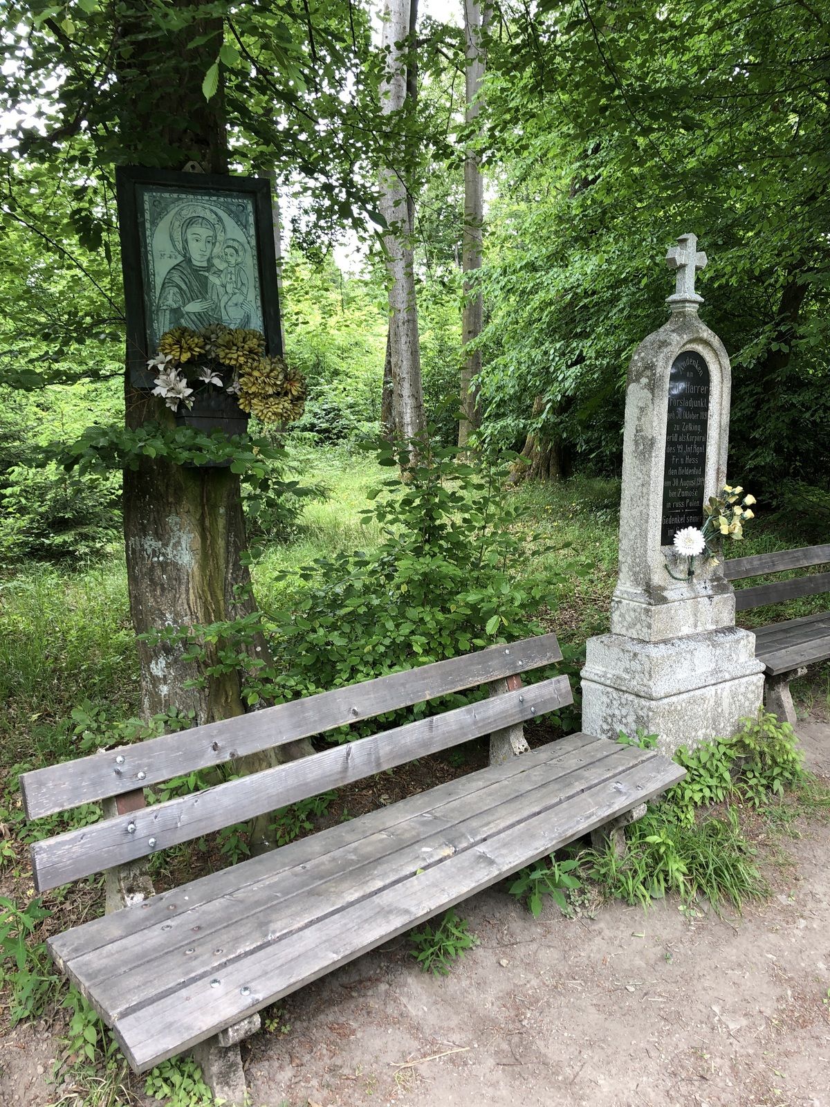
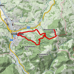
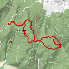
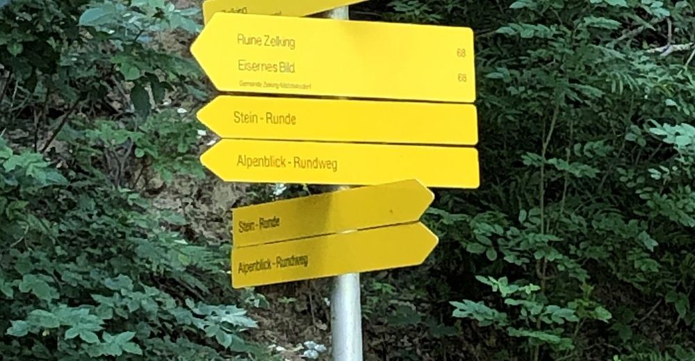
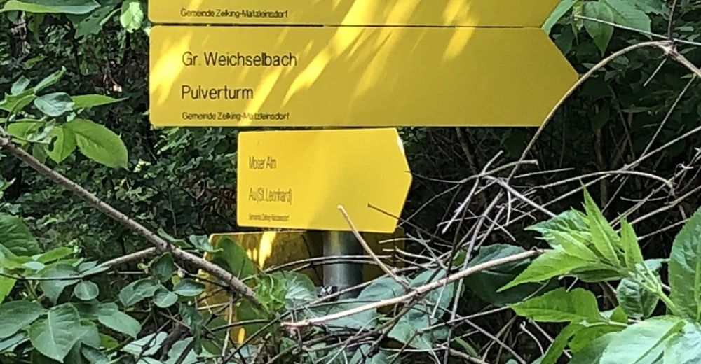
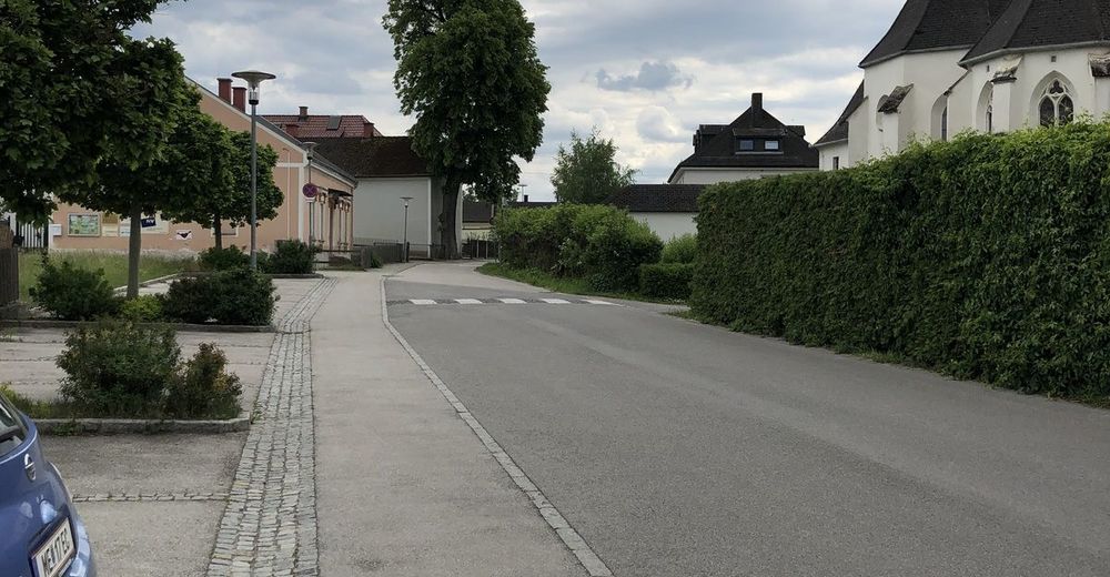
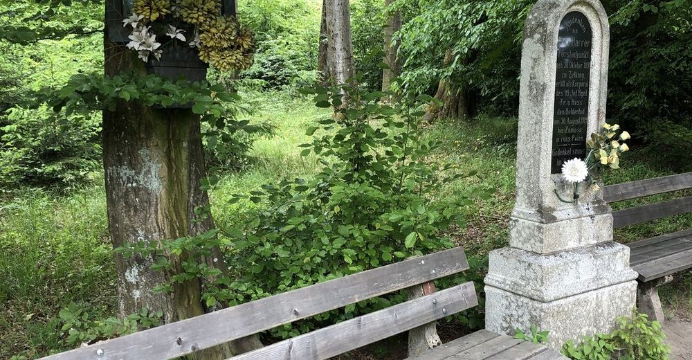
Von St. Leonhard zur Ruine Zelking retour über Großweichselbach.
- Vaikeus
-
tapa
- Arviointi
-
- Reitti
-
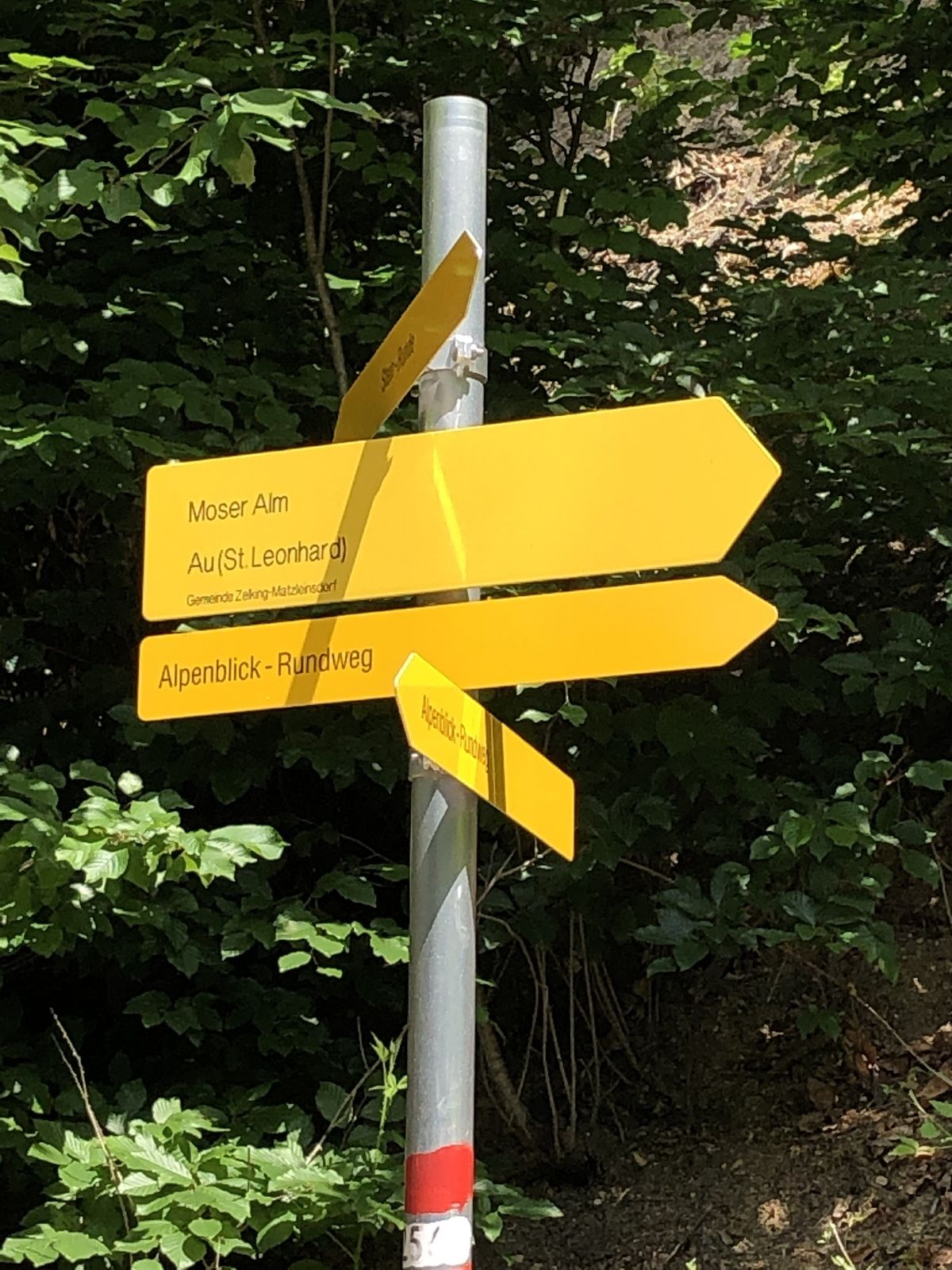
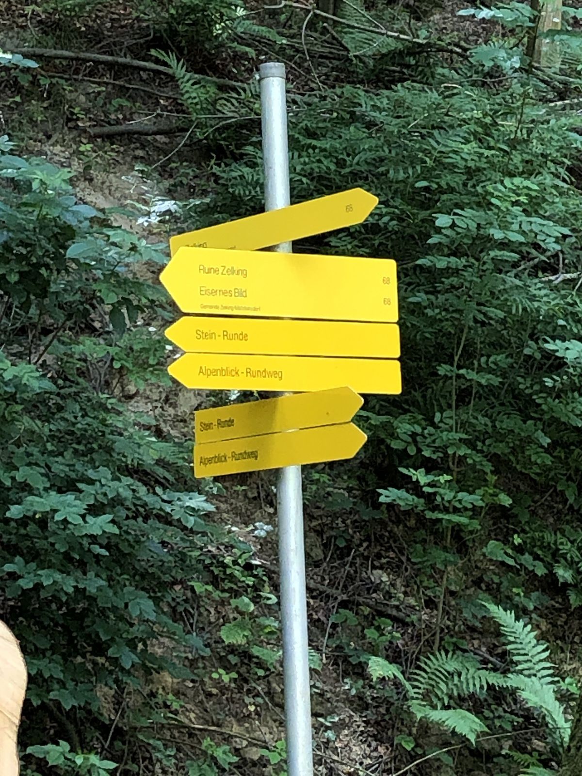
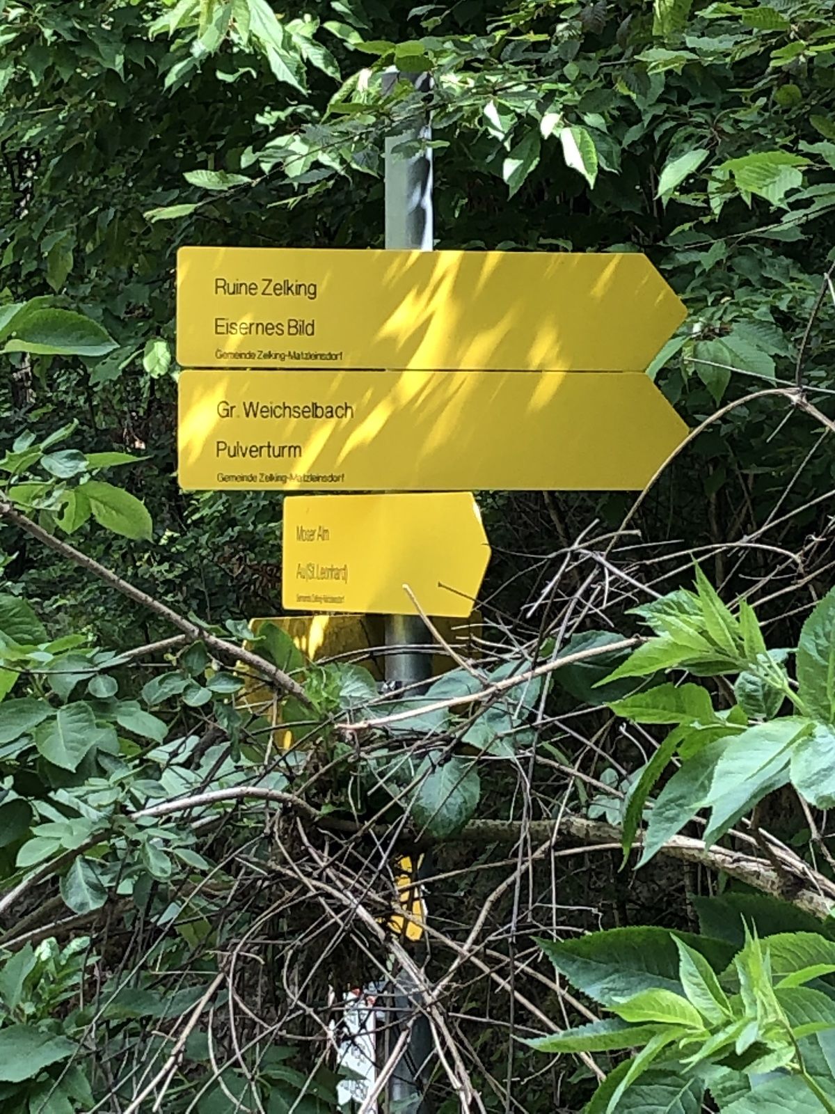
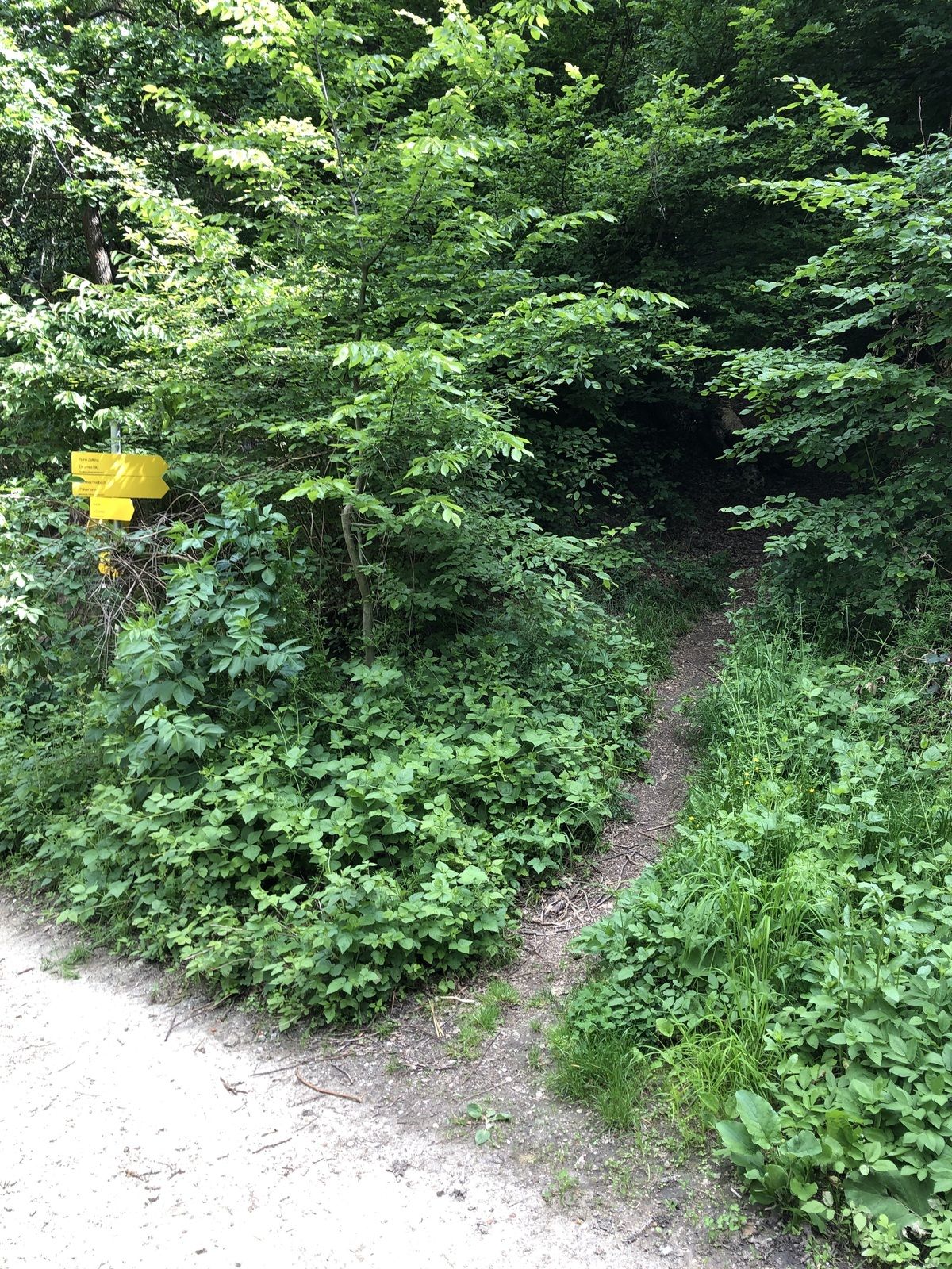
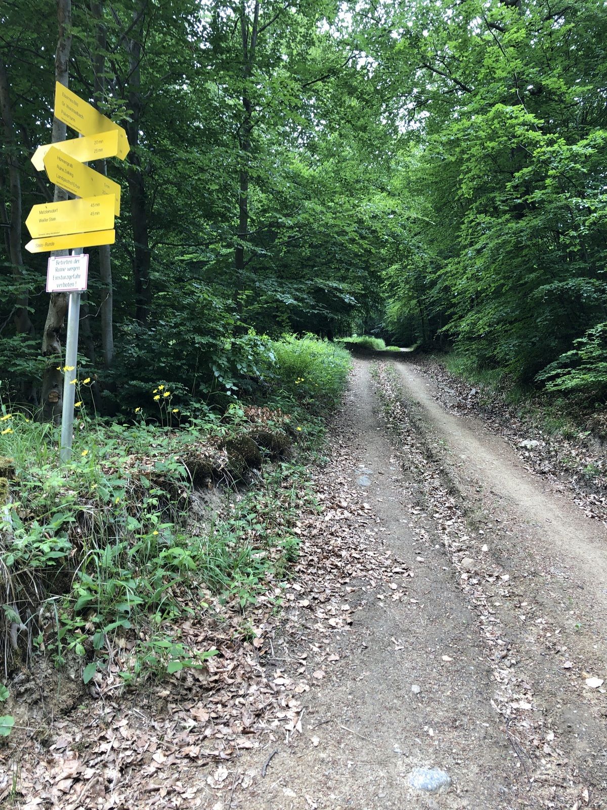
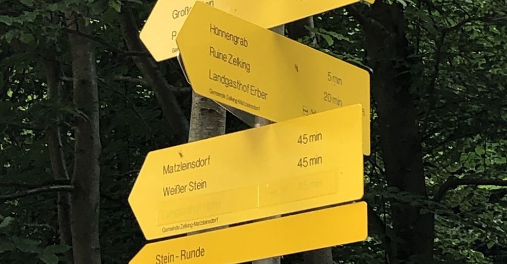
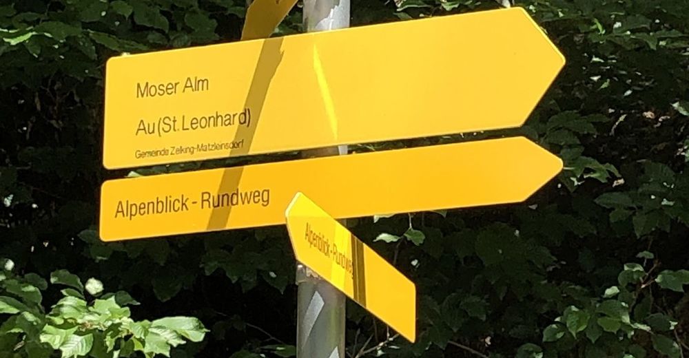
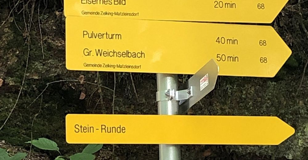
UrbachsiedlungSt. Leonhard am Forst0,1 kmSteghof2,0 kmAu3,7 kmSteinbach4,0 kmGassen7,9 kmZelking7,9 kmReith bei Weichselbach11,0 kmSticky Noodles11,4 kmGroßweichselbach11,6 kmWegscheid11,9 kmKleinweichselbach13,3 kmHub an der Mank14,4 kmSt. Leonhard am Forst16,1 kmUrbachsiedlung16,2 km
- Paras kausi
-
tammihelmimaalishuhtitoukokesäheinäelosyyslokamarrasjoulu
- Korkein kohta
- 477 m