
© Walter Schneeweiss
© Walter Schneeweiss

Retkitiedot
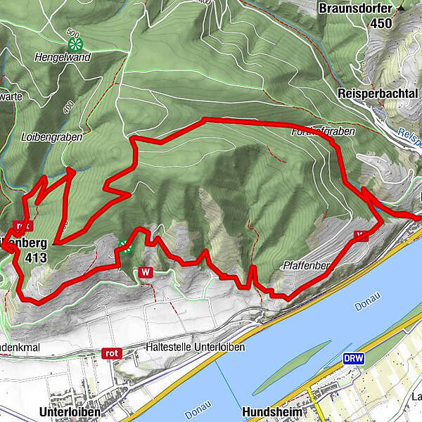
9,22km
207
- 473m
412hm
405hm
02:30h
- Lyhyt kuvaus
-
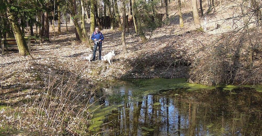
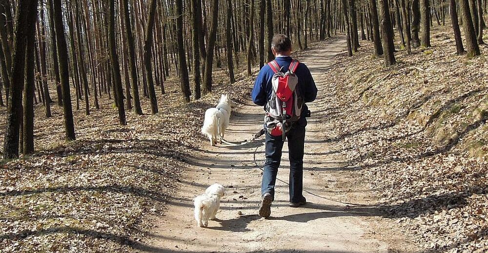
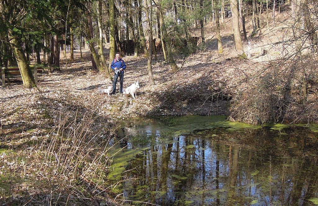
Aussichtsrunde entlang des Förthofgrabens gegenüber von Mautern hinauf auf den Loibnerberg und durch wunderschöne Terassenlandschaft durch die Weinrieden oberhalb der Donau aussichtsreich zurück.
- Vaikeus
-
helppo
- Arviointi
-
- Lähtöpiste
-
Parkplatz
- Reitti
-
FörthofSt. Matthias0,0 kmFörthofquelle0,2 kmFörthofgraben1,0 kmLoibenberg3,2 kmRauheneck6,6 kmRothenhof7,7 kmFörthofquelle8,9 kmSt. Matthias9,1 kmFörthof9,2 km
- Paras kausi
-
tammihelmimaalishuhtitoukokesäheinäelosyyslokamarrasjoulu
- Korkein kohta
- Oberhalb Loibnerberg (473 m)
- Kohde
-
Parkplatz
- Lepo/Retriitti
-
nein

- Lähde
- Walter Schneeweiss
GPS Downloads


Polun olosuhteet
Asfaltti
(20)
Sora
(15)
Niitty
(15)
Metsä
(50)
Kallio
Altistettu
Lisää retkiä alueilla
-
Donau Niederösterreich
2289
-
Dunkelsteinerwald
1373
-
Mautern an der Donau
697


