

© ©Wiener Alpen, Foto: Franz Zwickl - Wiener Alpen in Niederösterreich

© © Wiener Alpen in NÖ Tourismus GmbH, Foto: Franz Zwickl - Wiener Alpen in Niederösterreich Tourismus GmbH
© ©NÖSBB, Foto: Franz Zwickl

© Wiener Alpen in Niederösterreich - Sophie Weinberger

© Wiener Alpen in Niederösterreich - Sophie Weinberger
© Alpenverein Edelweiss - Mario Scheffer

© Wiener Alpen in Niederösterreich - Sophie Weinberger

© Wiener Alpen in Niederösterreich - Sophie Weinberger

© Wiener Alpen in Niederösterreich - Sophie Weinberger

© Wiener Alpen in Niederösterreich - Sophie Weinberger
- Lyhyt kuvaus
-
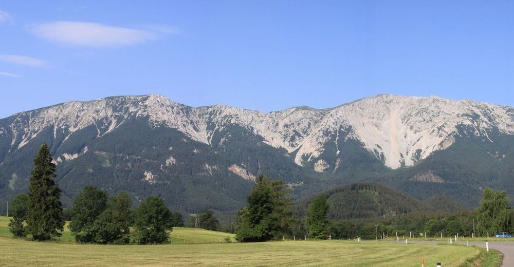
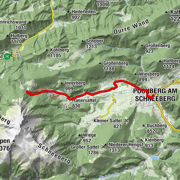
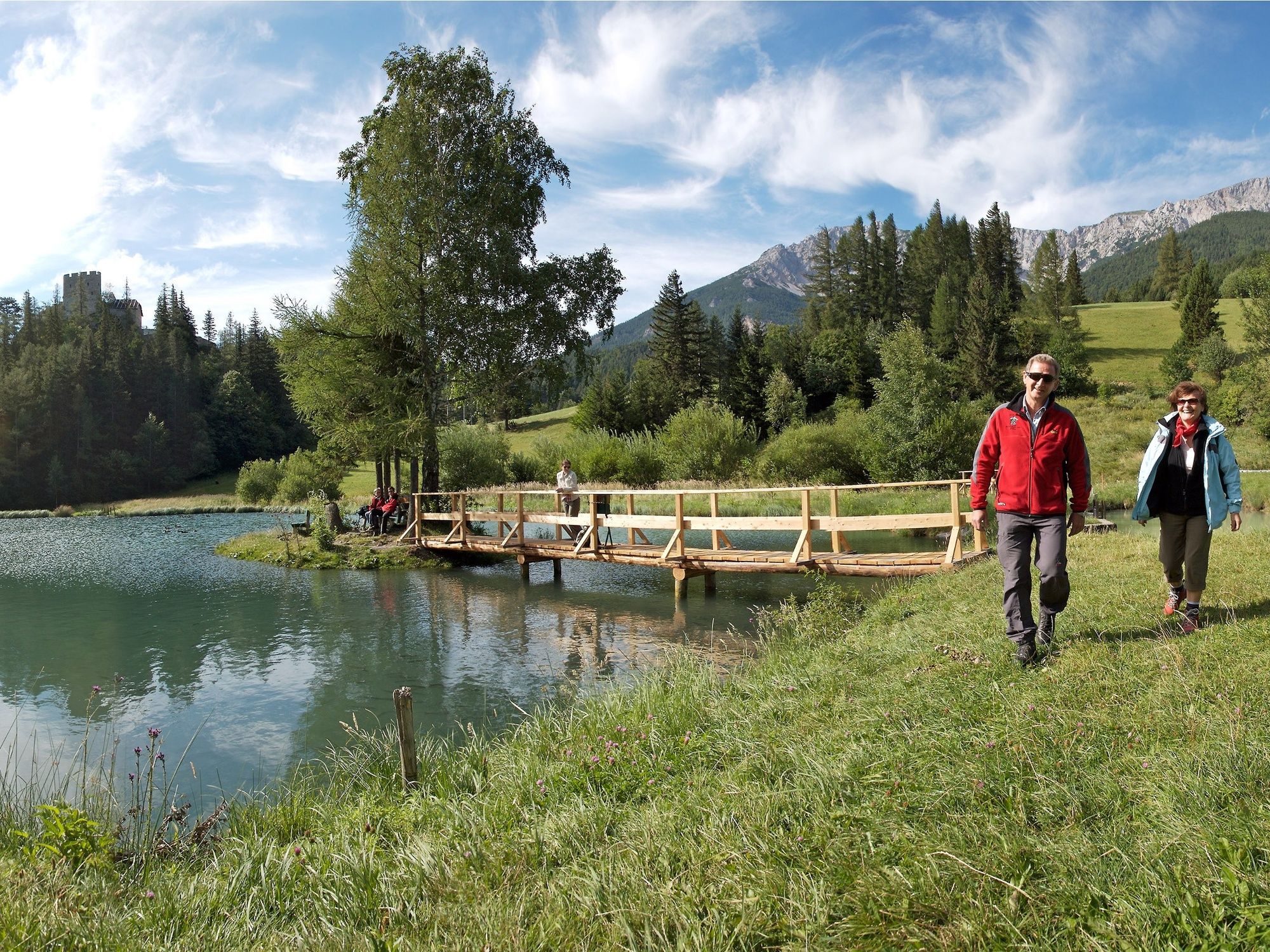
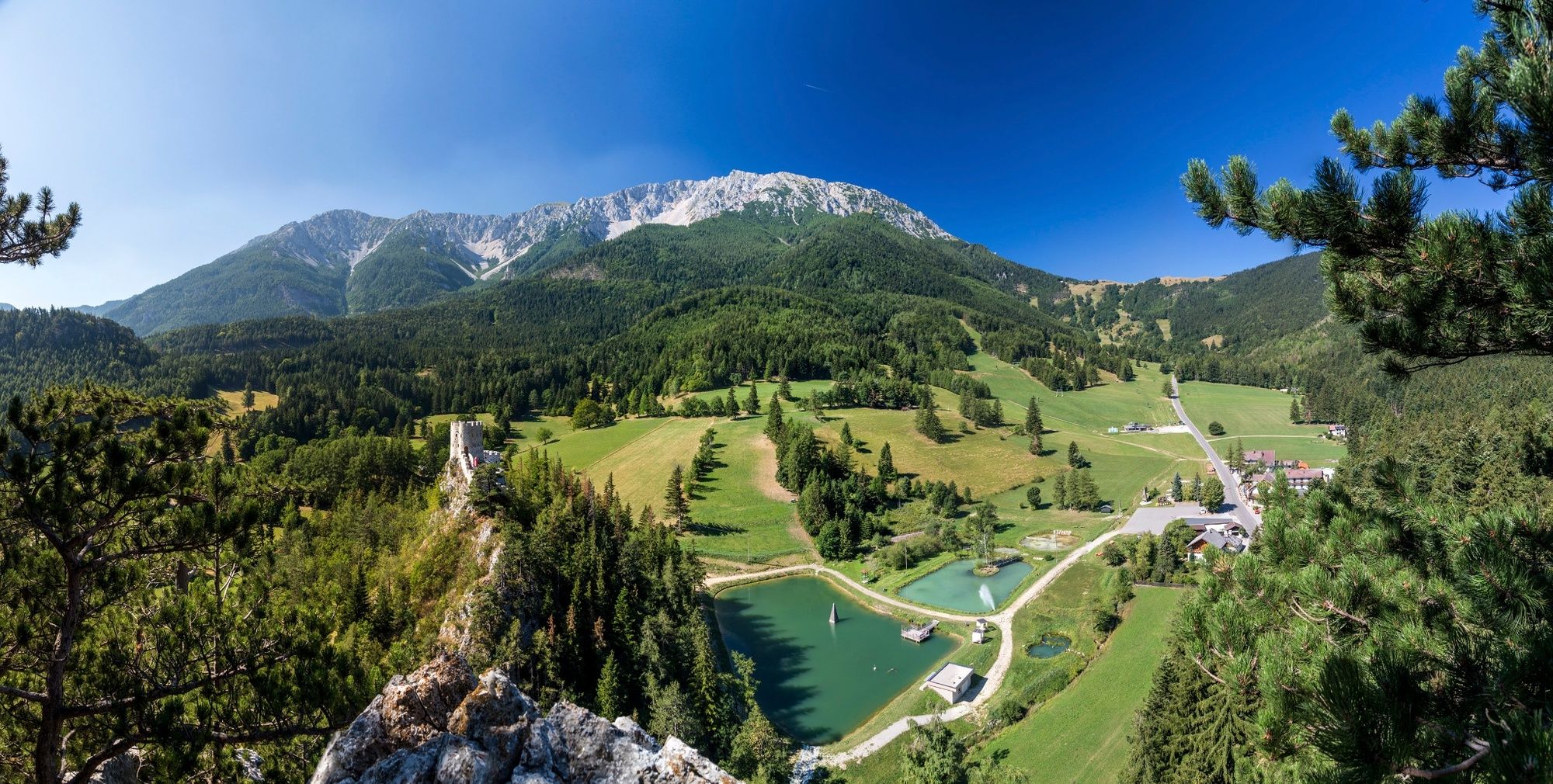
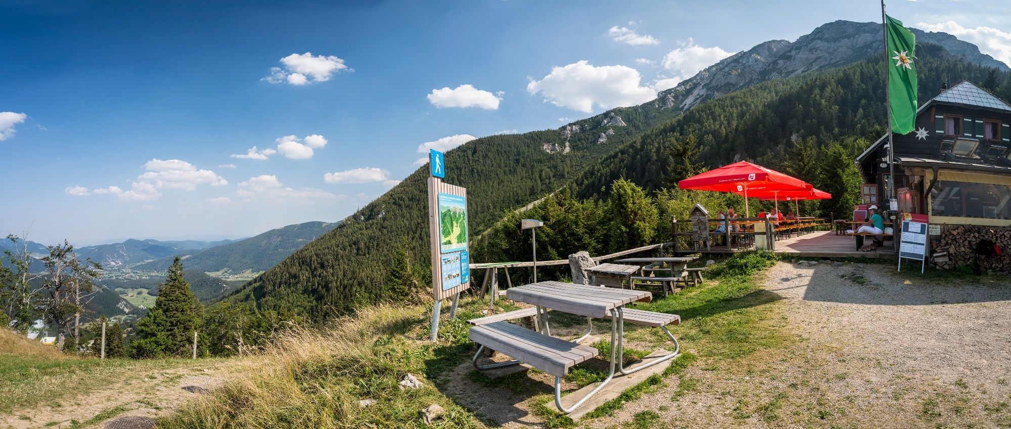
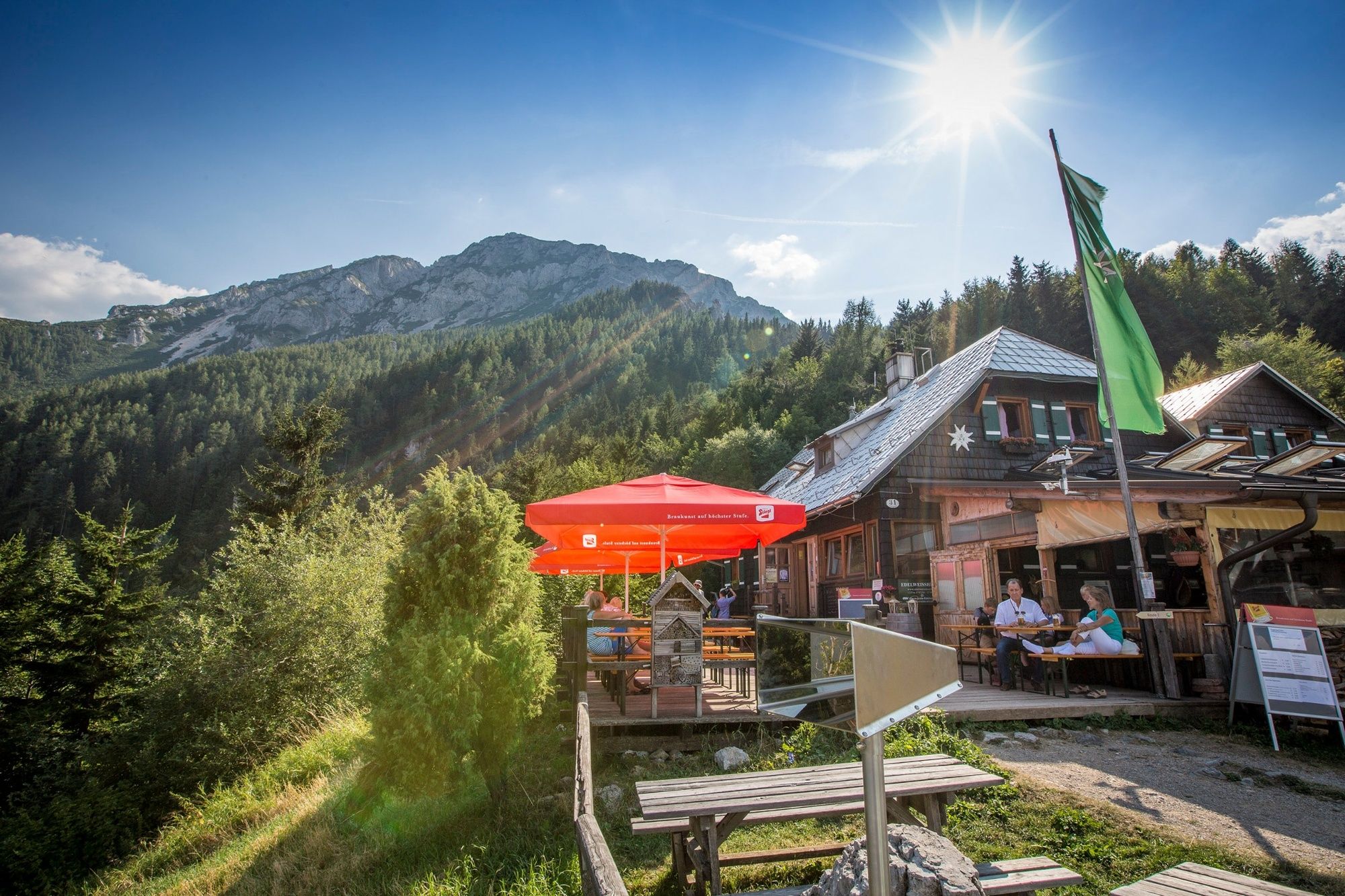
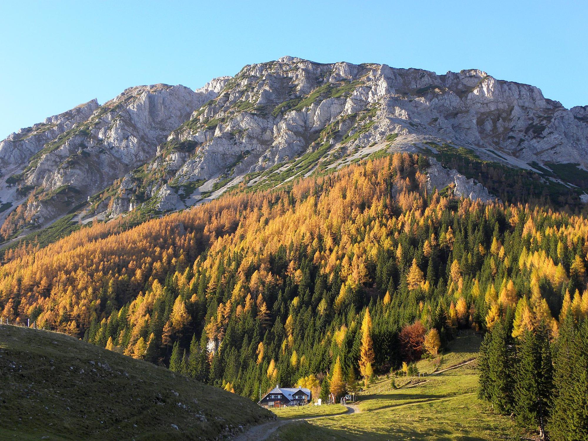
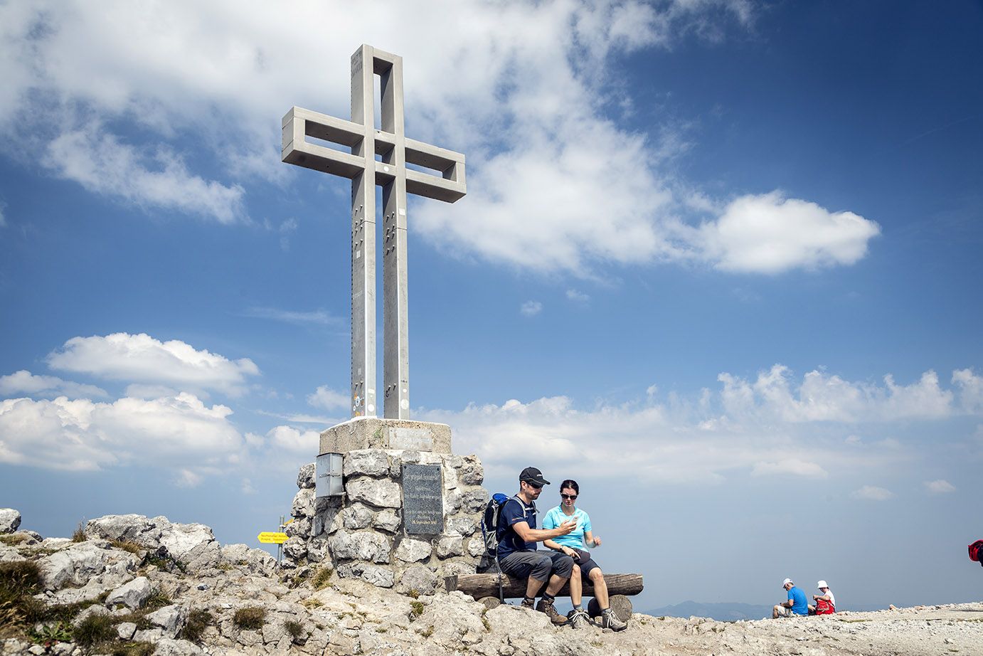
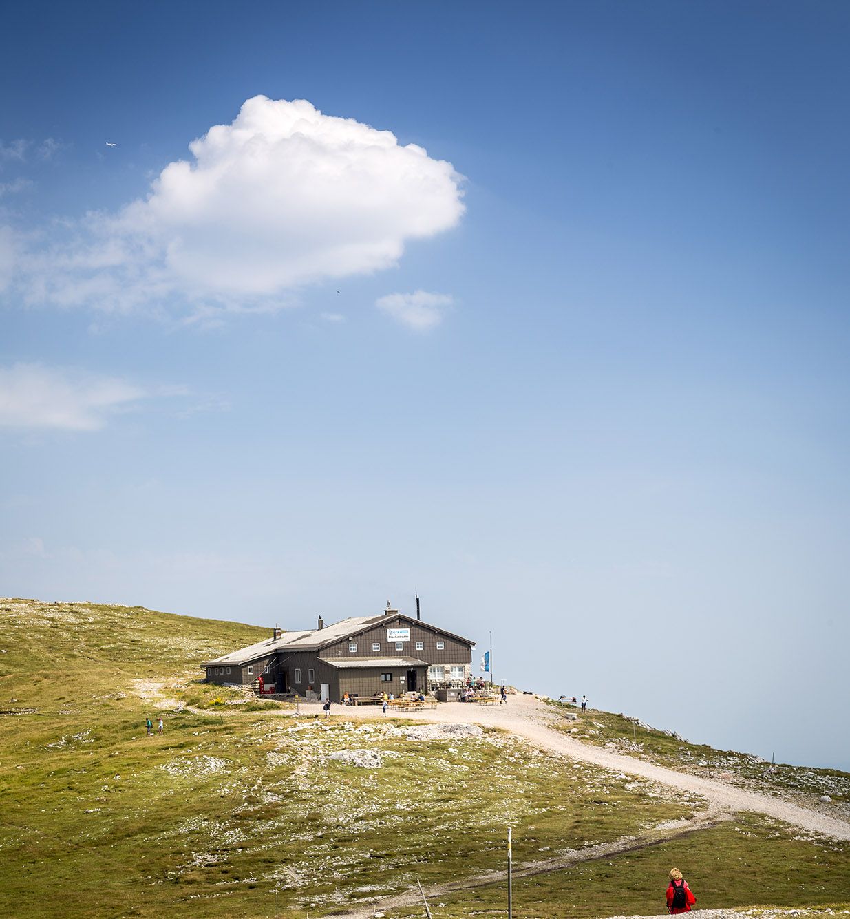
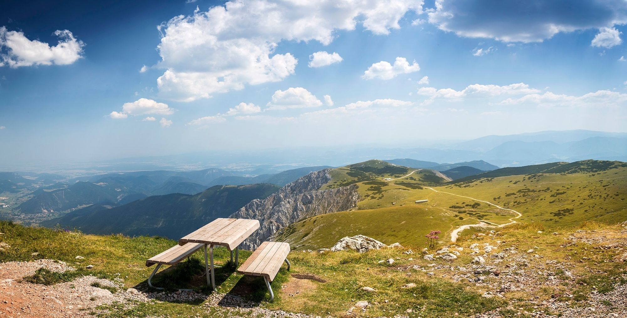
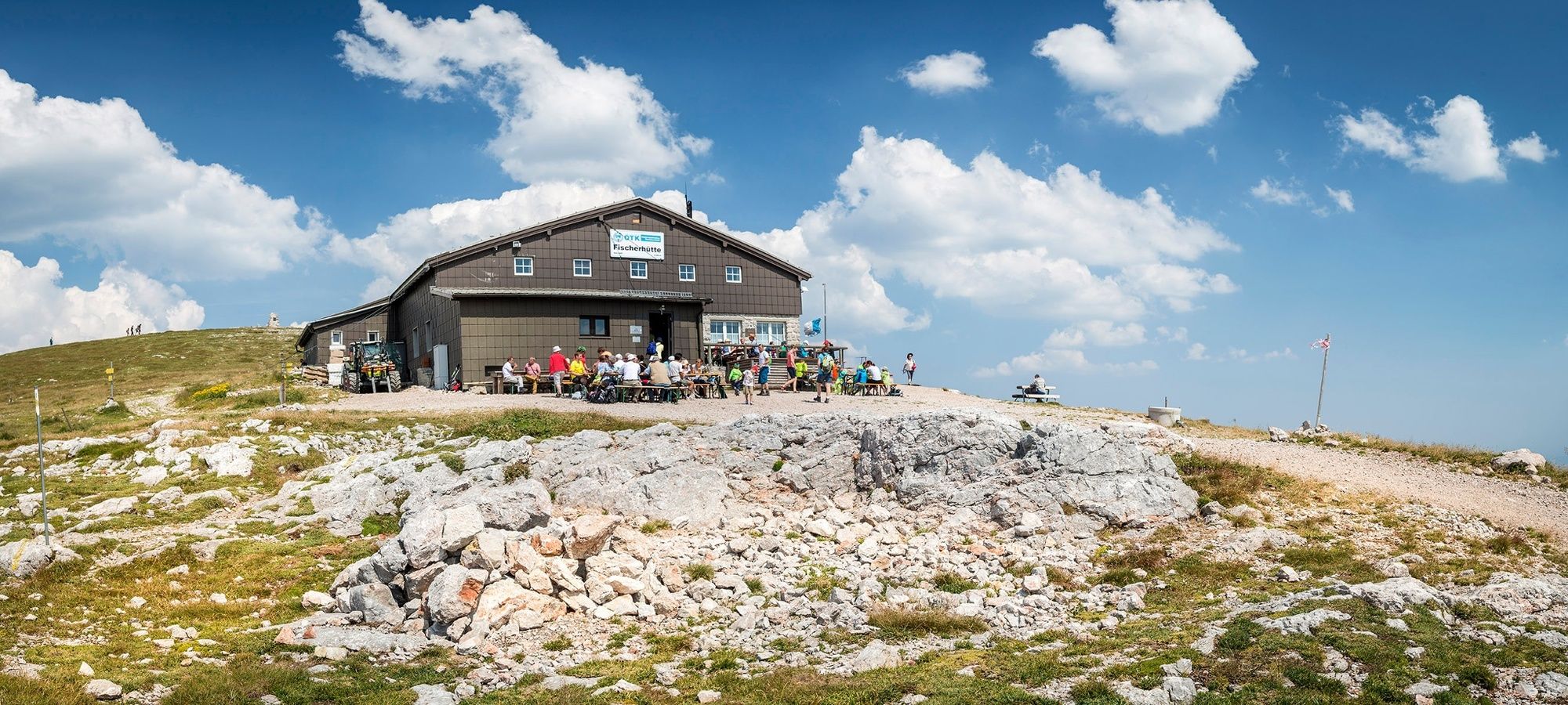
Regional Route P leads from Puchberg through Losenheim to the Edelweißhütte. The Regional Routes are part of the network of paths making up the Viennese Alps (WAB) route. Hikes along these routes lead you to unique views and also insights. The Regional Routes are linked to the network of paths making up the Viennese Alps route. This results in circular hikes in conjunction with the long-distance path.
- Vaikeus
-
tapa
- Arviointi
-
- Reitti
-
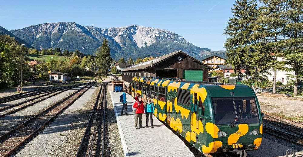
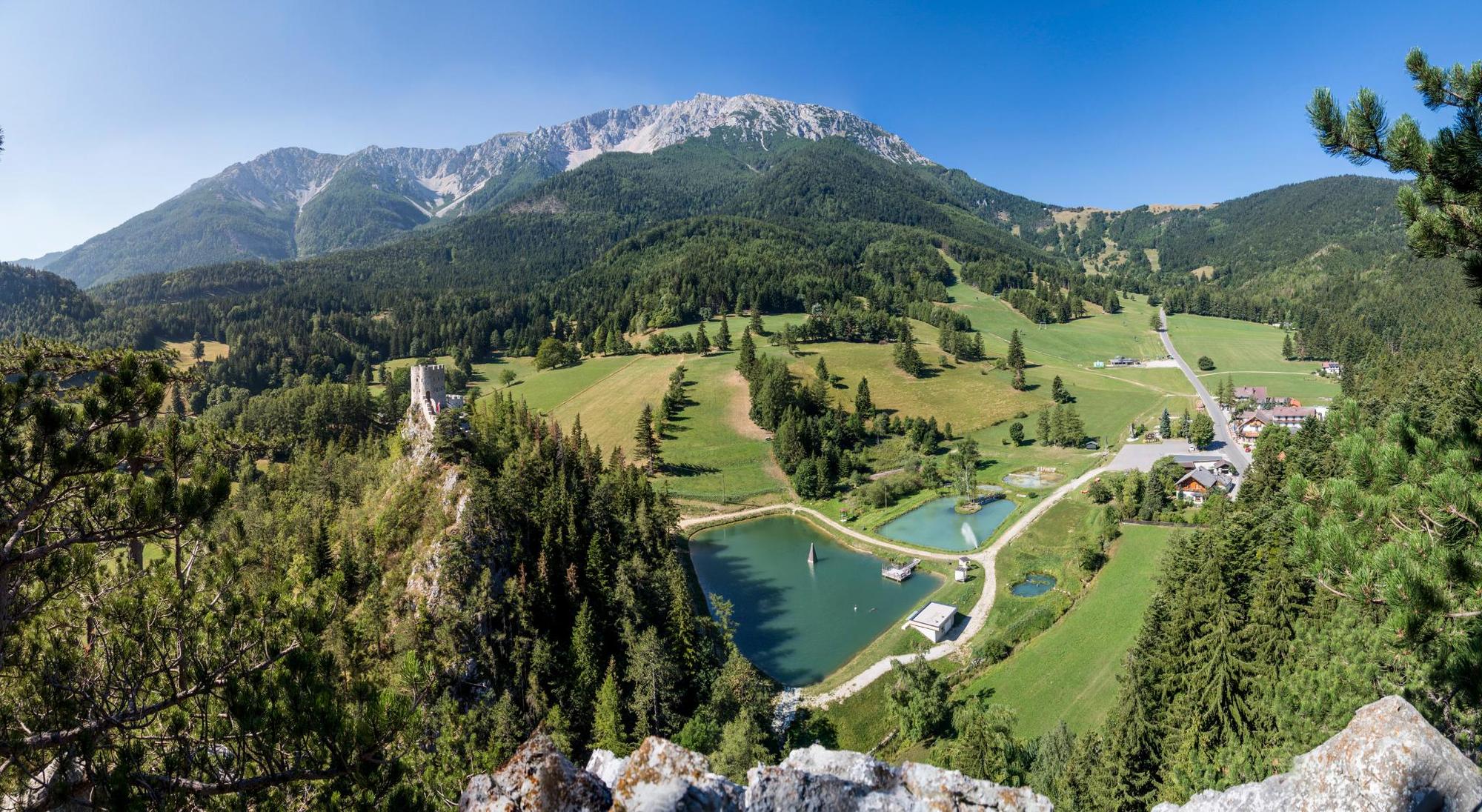
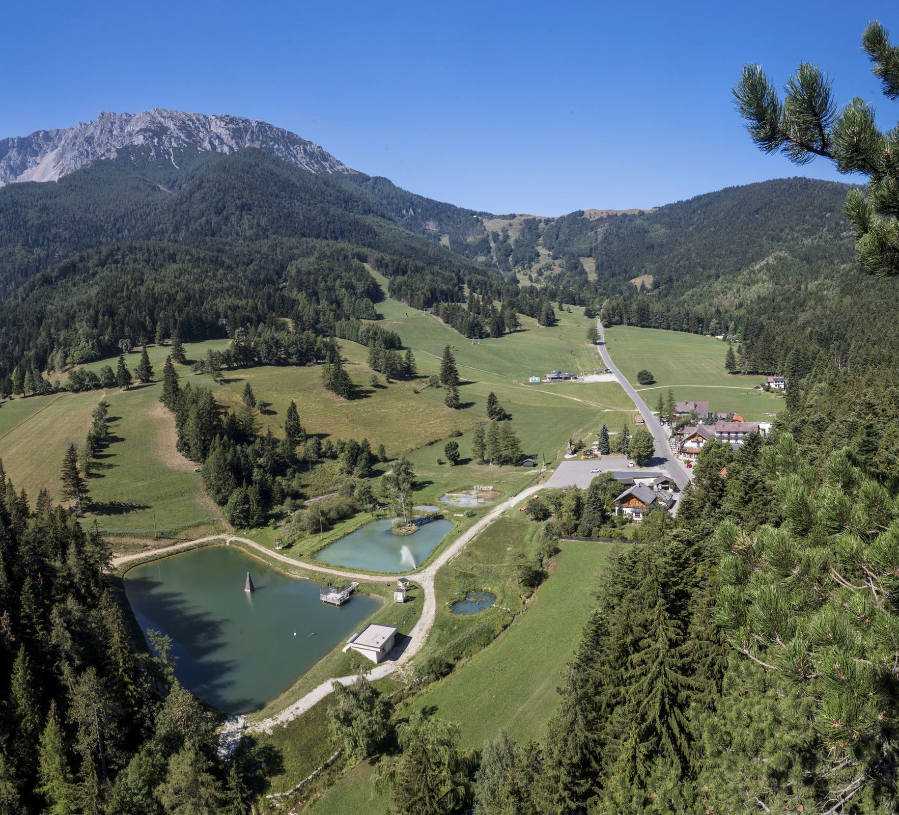
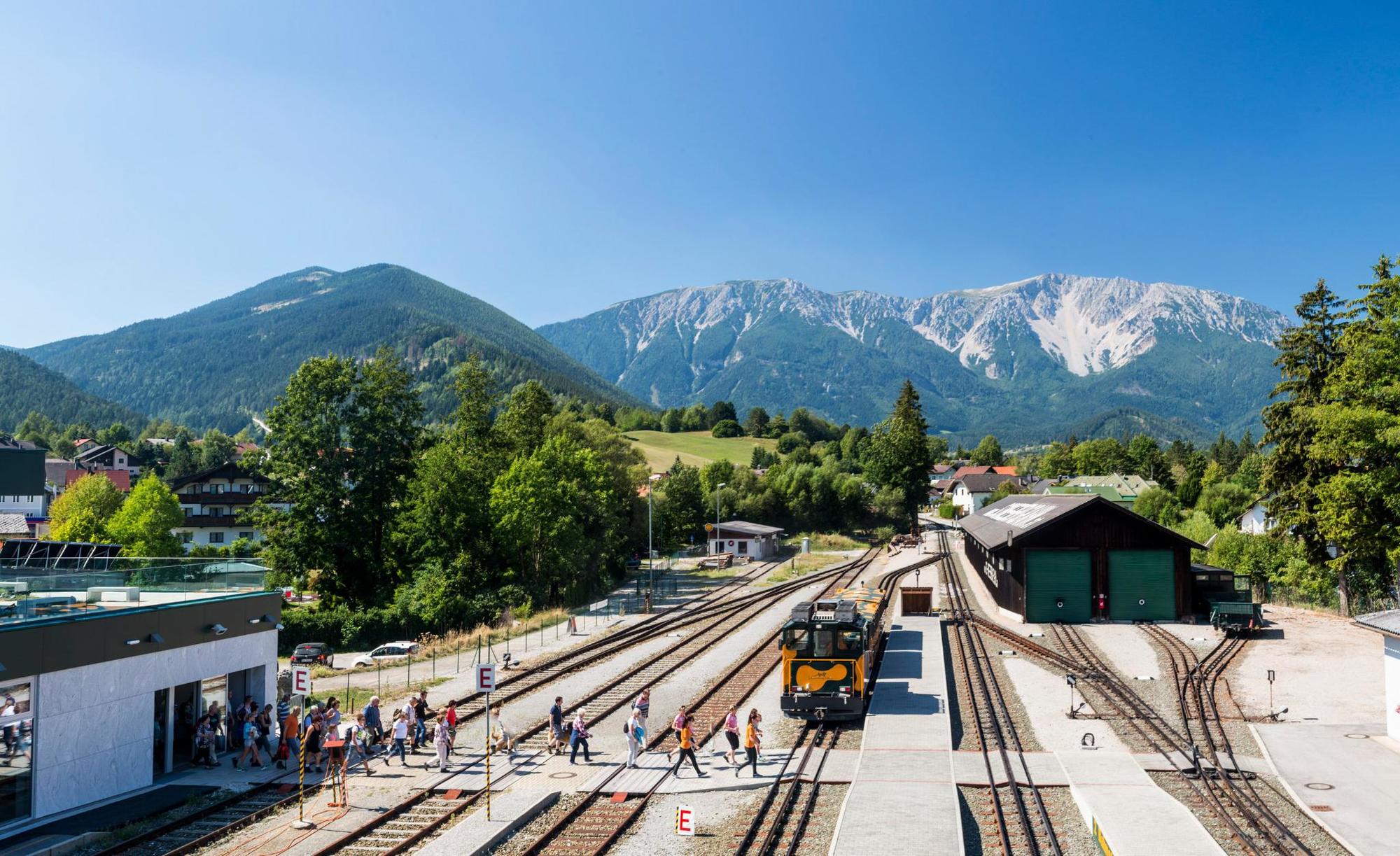
Puchberg am SchneebergSonnleiten4,8 kmLosenheim6,6 kmForellenhof6,6 kmPizzeria Alpentaverne6,7 kmDie Wiesenhütte6,8 kmPuchis Welt7,6 kmEdelweißhütte9,2 km
- Paras kausi
-
tammihelmimaalishuhtitoukokesäheinäelosyyslokamarrasjoulu
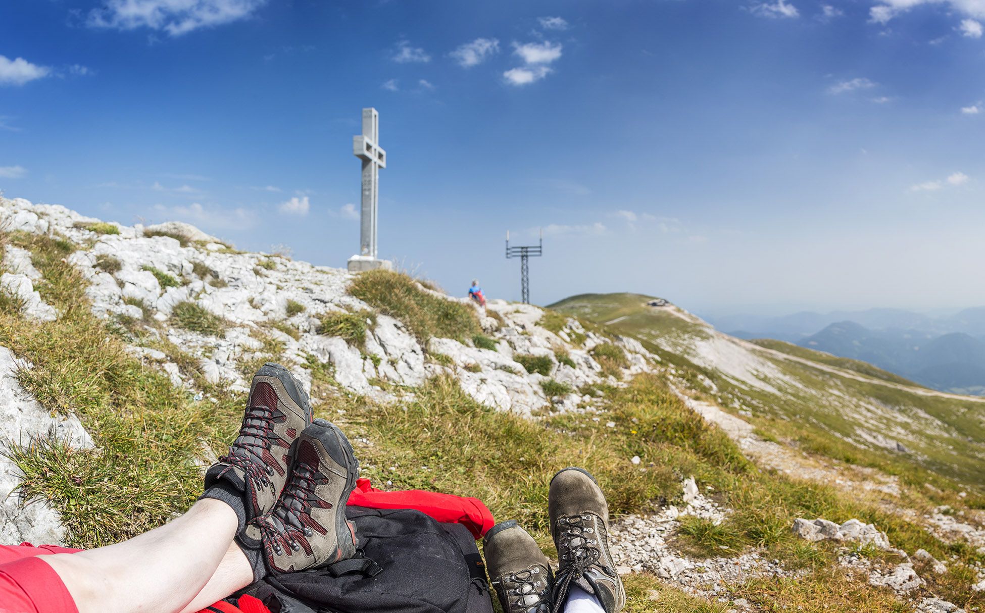
- Korkein kohta
- 1.225 m
- Kohde
-
Edelweißhütte
- Korkeusprofiili
-


- Kirjoittaja
-
Kiertue WAB - Regional Route P: Puchberg - Edelweißhütte käyttää outdooractive.com toimitettu.
GPS Downloads


Yleistä tietoa
Virvokepysäkki
Lupaava
Lisää retkiä alueilla
-
Wiener Alpen
3048
-
Schneebergland - Wiener Alpen
2457
-
Puchberg am Schneeberg
885


