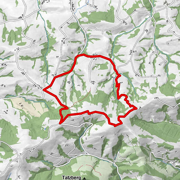
Retkitiedot
9,19km
357
- 700m
380hm
374hm
02:30h
- Lyhyt kuvaus
-
Kurze Wanderung bis auf den höchsten Punkt des Hochkogels
- Vaikeus
-
helppo
- Arviointi
-
- Lähtöpiste
-
Parkplatz beim Panorama Stüberl
- Reitti
-
Niederaigen1,3 kmHochkogel (710 m)5,2 kmPanoramastüberl7,0 km
- Paras kausi
-
tammihelmimaalishuhtitoukokesäheinäelosyyslokamarrasjoulu
- Korkein kohta
- 700 m
- Kohde
-
Parkplatz beim Panorama Stüberl
- Lepo/Retriitti
-
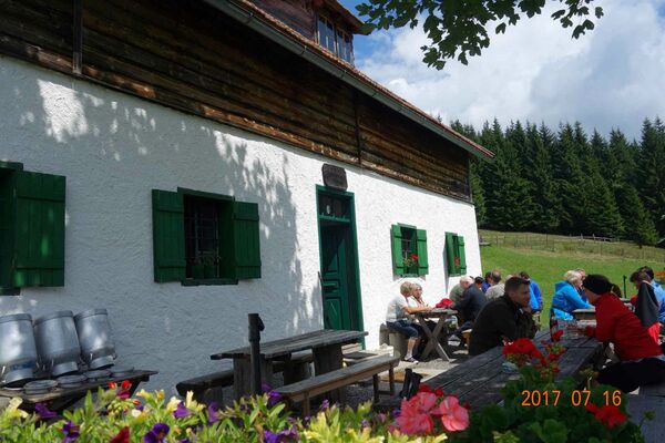
Panoramastüberl
- Lähde
- Bernd Haider
GPS Downloads


Polun olosuhteet
Asfaltti
Sora
Niitty
Metsä
Kallio
Altistettu
Lisää retkiä alueilla
-
Mostviertel
2453
-
Eisenstraße Niederösterreich
917
-
Euratsfeld
96