Retkitiedot
23,59km
599
- 858m
875hm
887hm
08:30h
- Lyhyt kuvaus
-
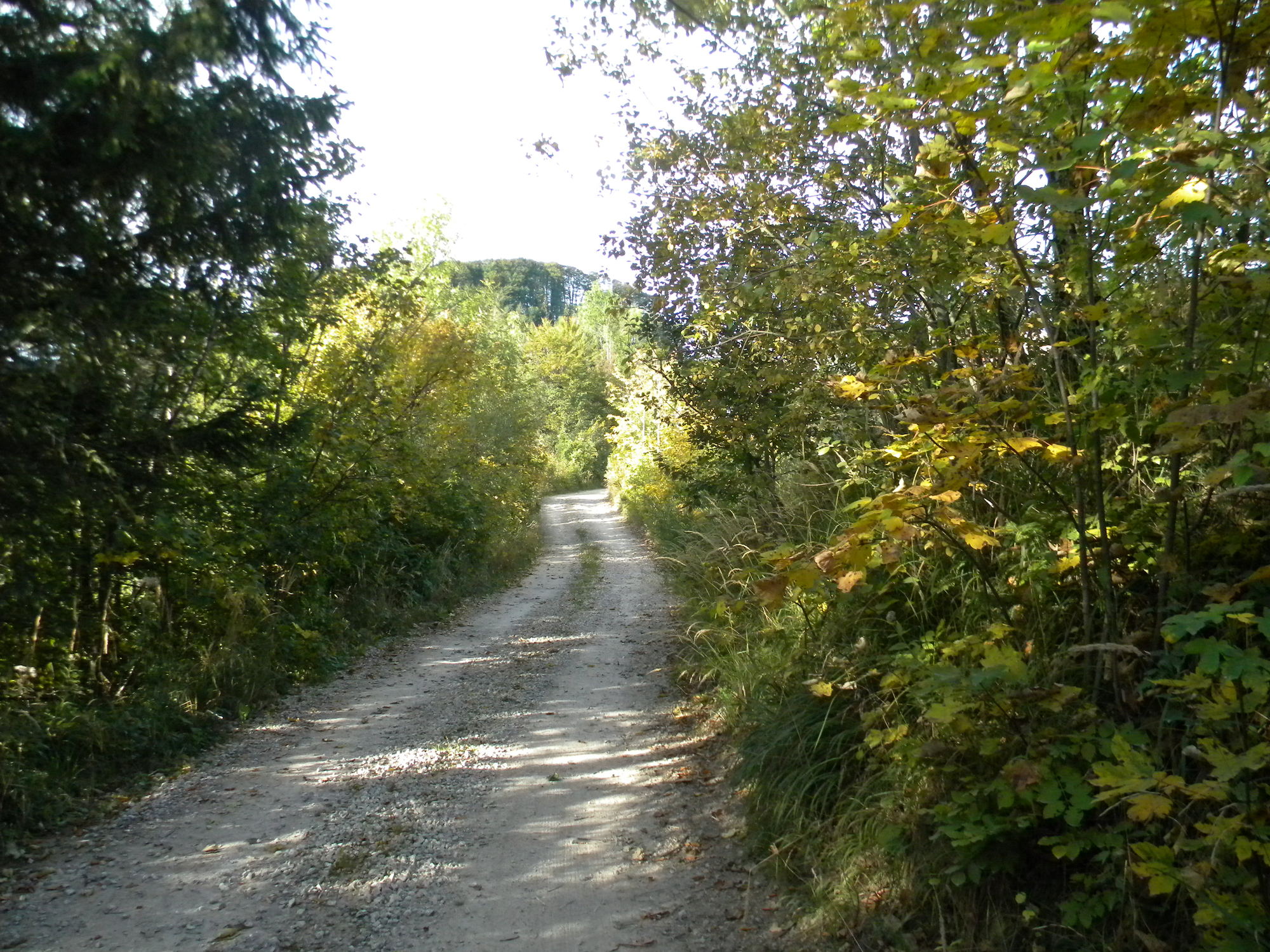
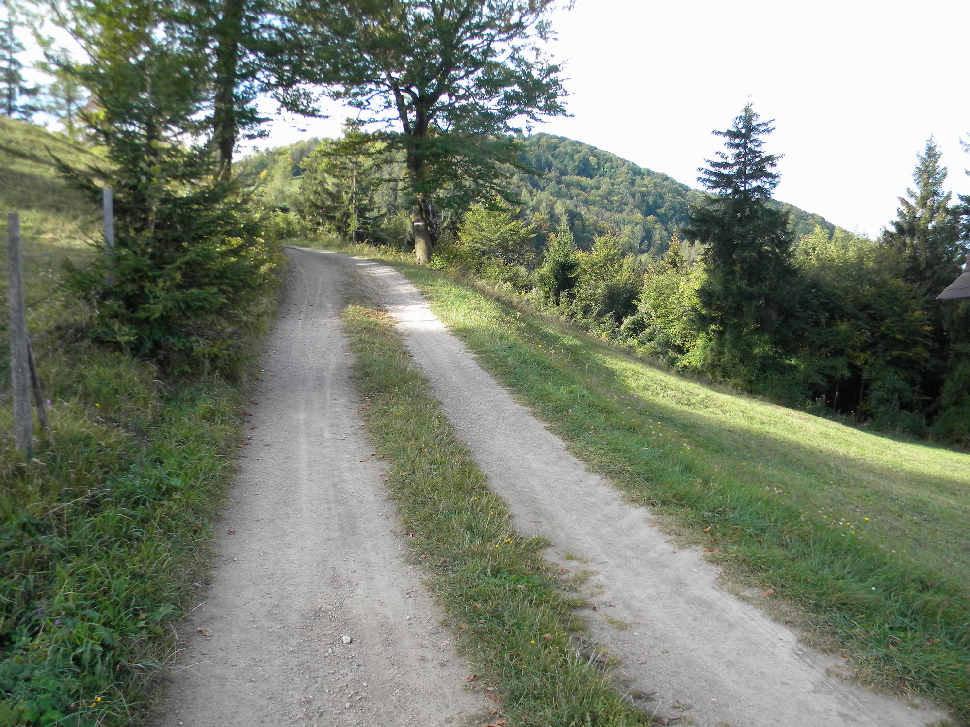
Ein Wunderschöner Teil des Römerweg bzw. teilweise der Pielachtal Rundwanderweg
- Vaikeus
-
tapa
- Arviointi
-
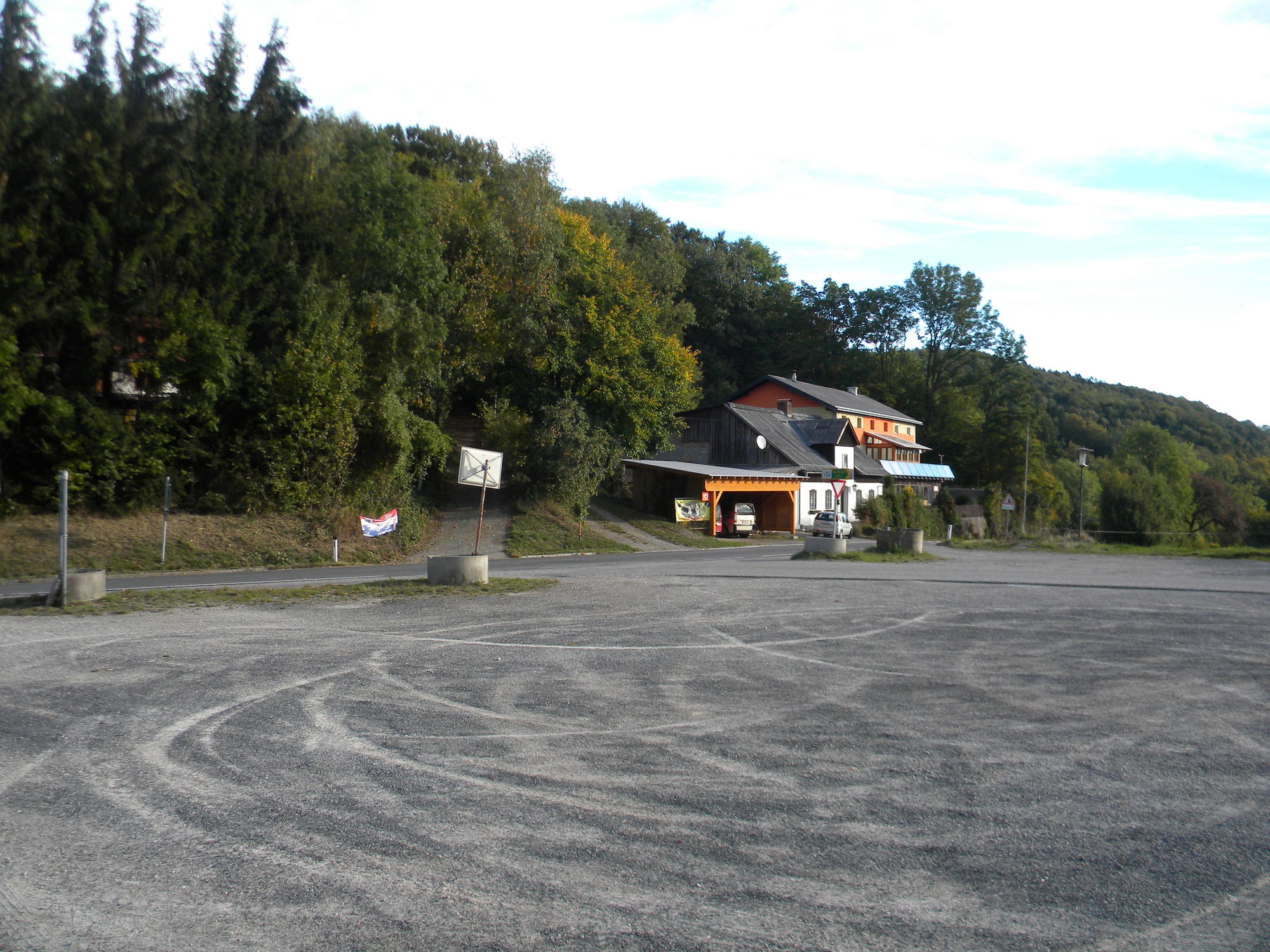
- Lähtöpiste
-
Parkplatz Luft
- Reitti
-
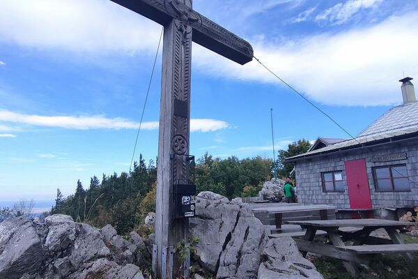
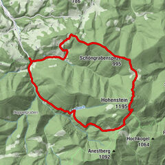
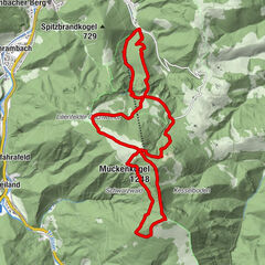
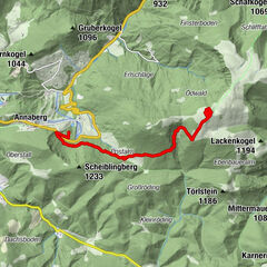
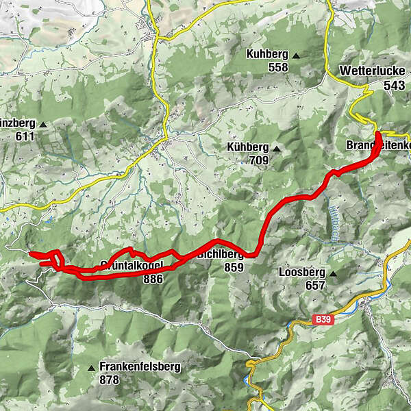
Sandler Marterl1,7 kmBichlberg4,9 kmSchwabeckhöhle5,9 kmTexingtaler Panorama-Platzl6,0 kmBertlsteighöhle III7,5 kmBertlsteighöhle II7,6 kmBertlsteighöhle I7,6 kmWalzberg8,5 kmGrassmann12,1 kmPlankenstein12,1 kmWalzberg (868 m)14,9 kmGrüntalkogelhütte16,0 kmGrüntalkogel (886 m)16,1 kmSchwabeckhöhle17,3 kmBichlberg (859 m)18,2 kmSandler Marterl21,5 km
- Paras kausi
-
tammihelmimaalishuhtitoukokesäheinäelosyyslokamarrasjoulu
- Korkein kohta
- Grüntalkogel (858 m)
- Kohde
-
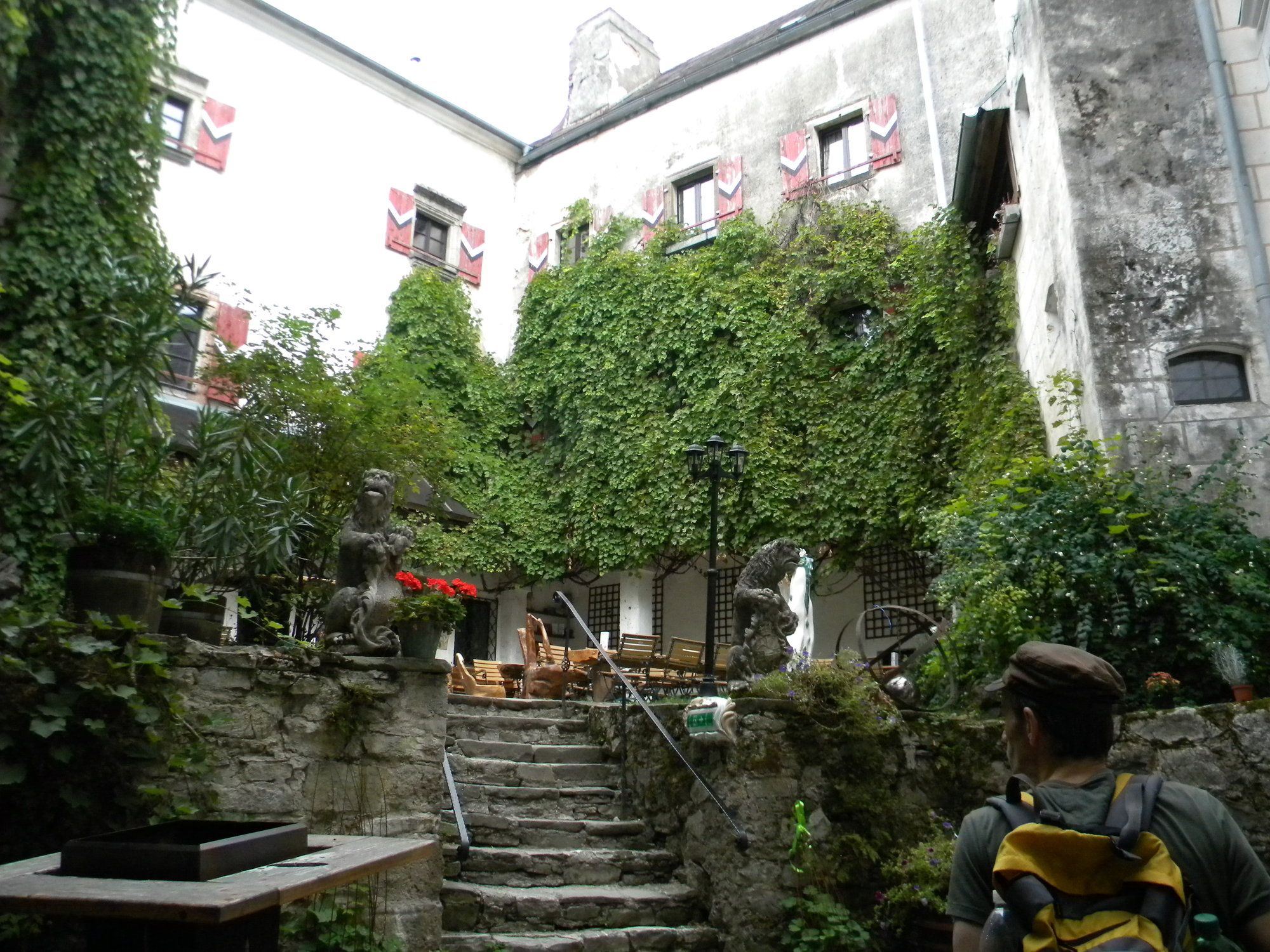
Burg Plankenstein und wieder zurück
- Lepo/Retriitti
-
Grüntalkogelhütte, Cafe in der Burg Plankenstein
- Karttamateriaali
-
Römerweg 651 von Mostviertler Tourismus GmbH


- Lähde
- Thomas Putz
GPS Downloads


Polun olosuhteet
Asfaltti
Sora
Niitty
Metsä
Kallio
Altistettu
Lisää retkiä alueilla
-
Mostviertel
2454
-
Pielachtal
1116
-
Texingtal
209