© gert gasperin
© gert gasperin
© gert gasperin
© gert gasperin
© gert gasperin

© gert gasperin
© gert gasperin
© gert gasperin
© gert gasperin
© gert gasperin
Retkitiedot
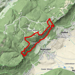
18,46km
311
- 554m
326hm
285hm
06:00h
- Vaikeus
-
helppo
- Arviointi
-
- Reitti
-
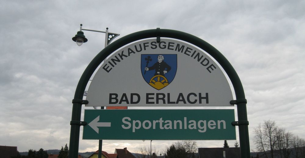
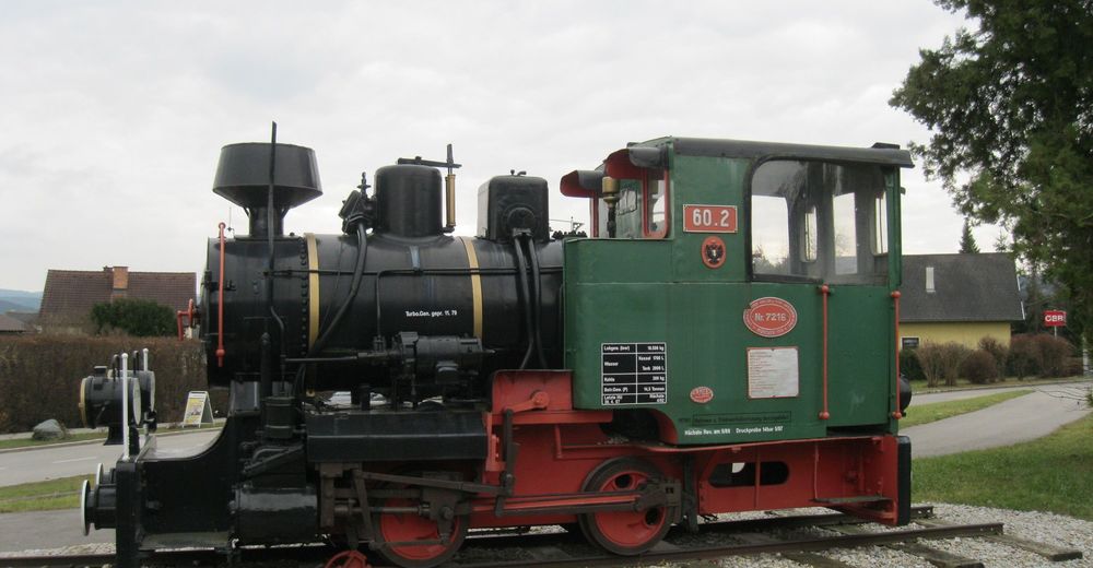
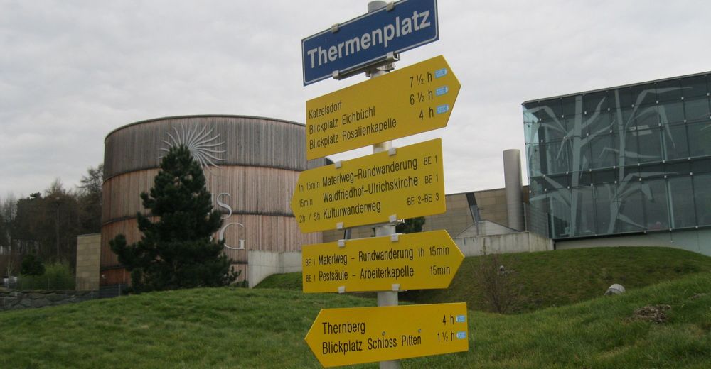
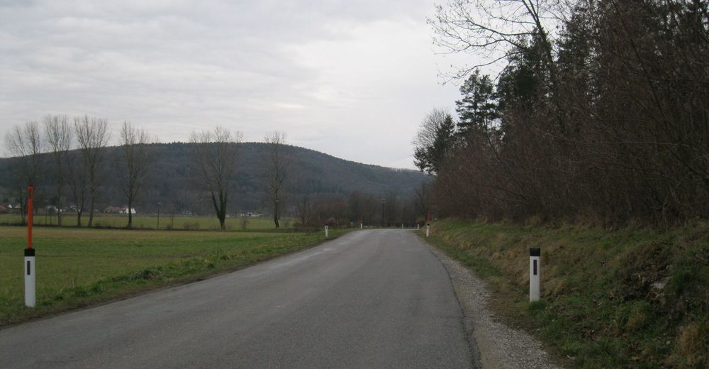
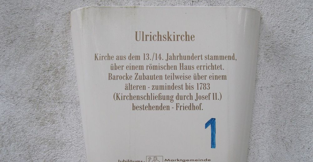
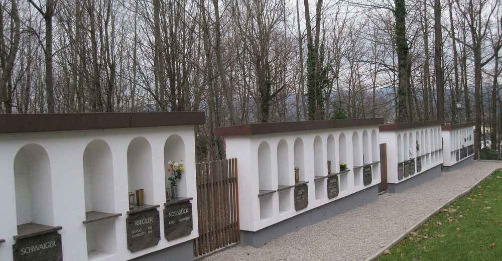
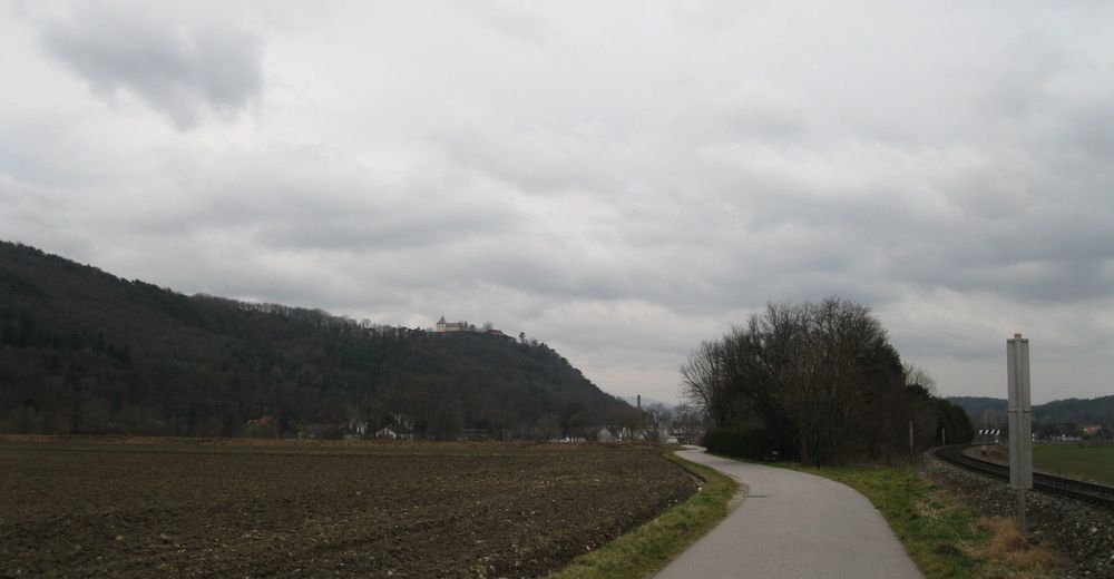
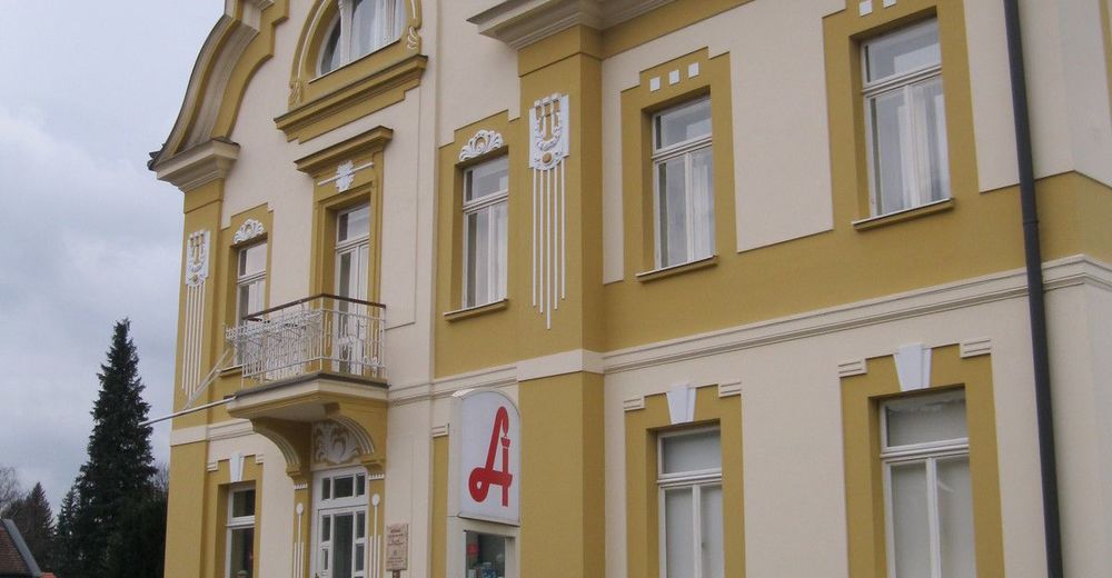
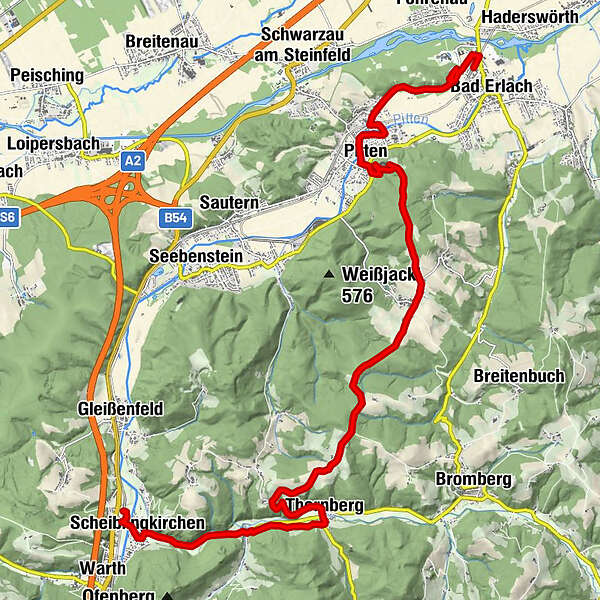
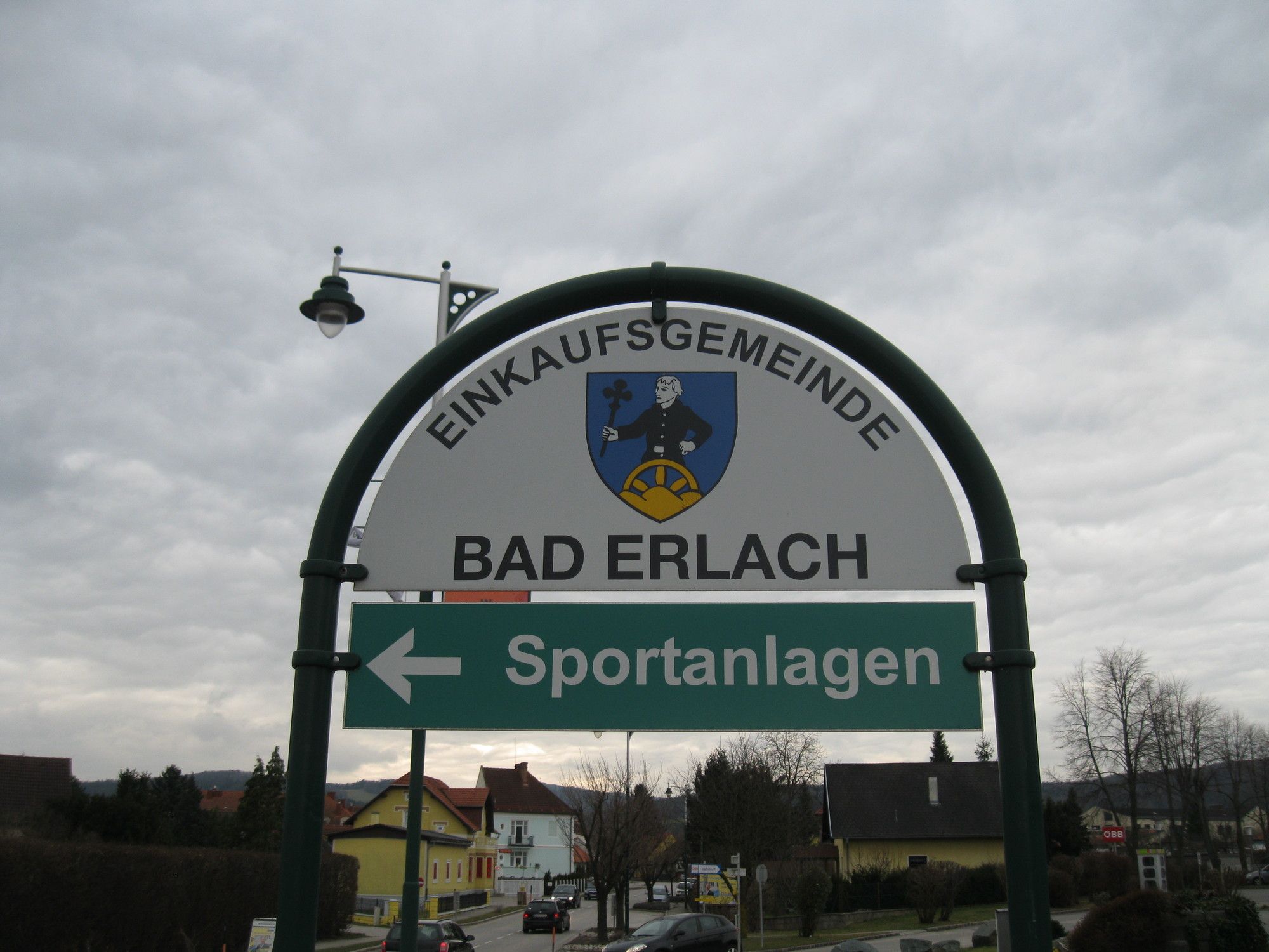
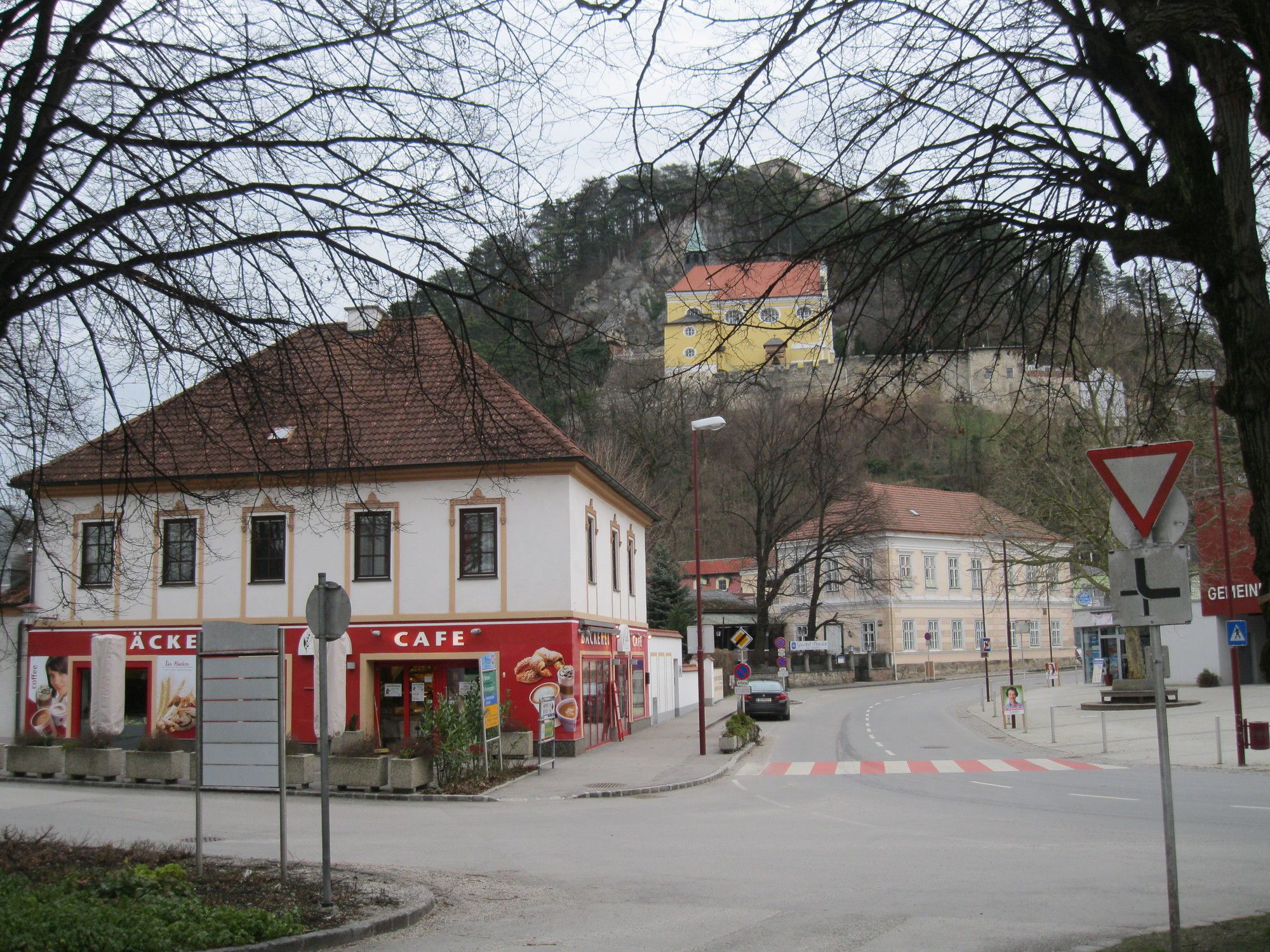
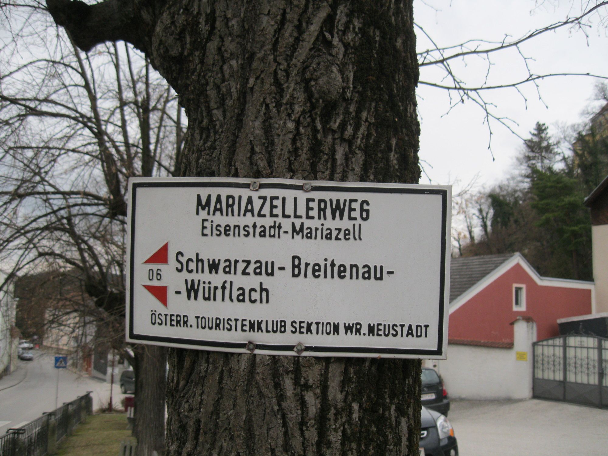
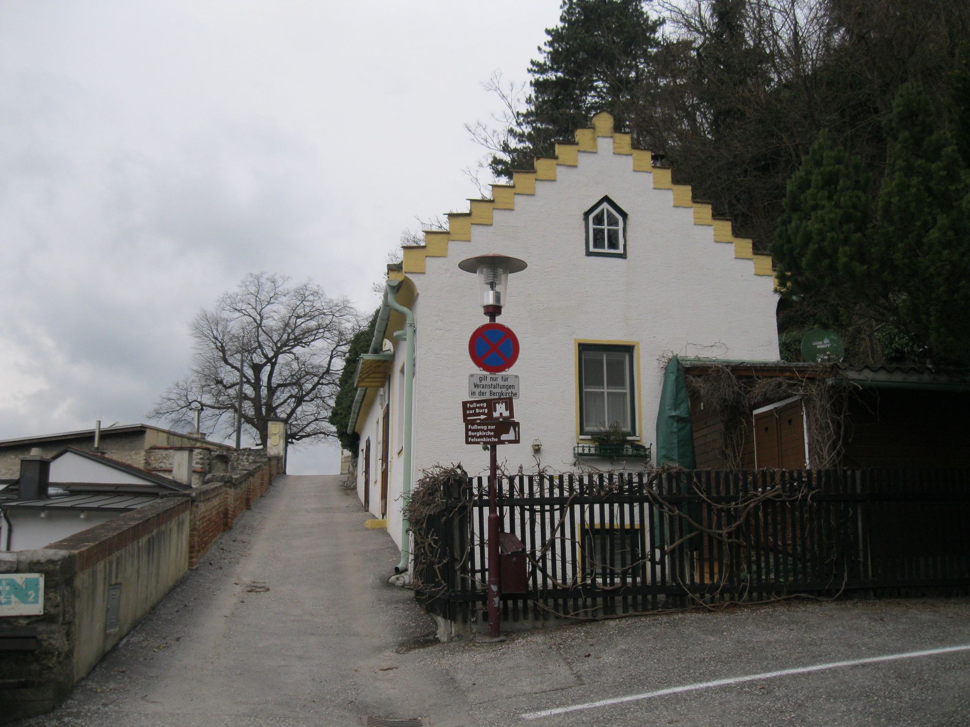
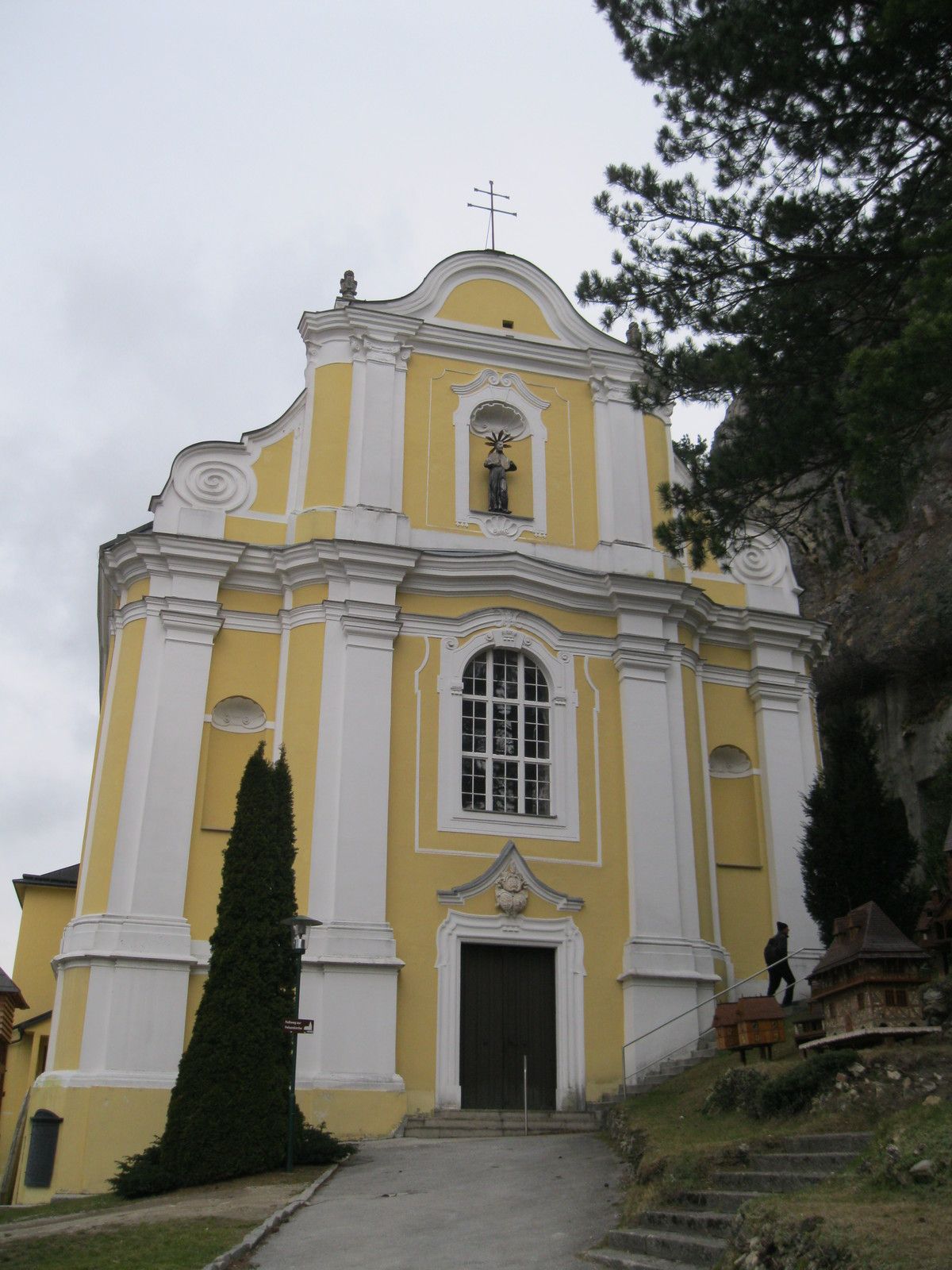
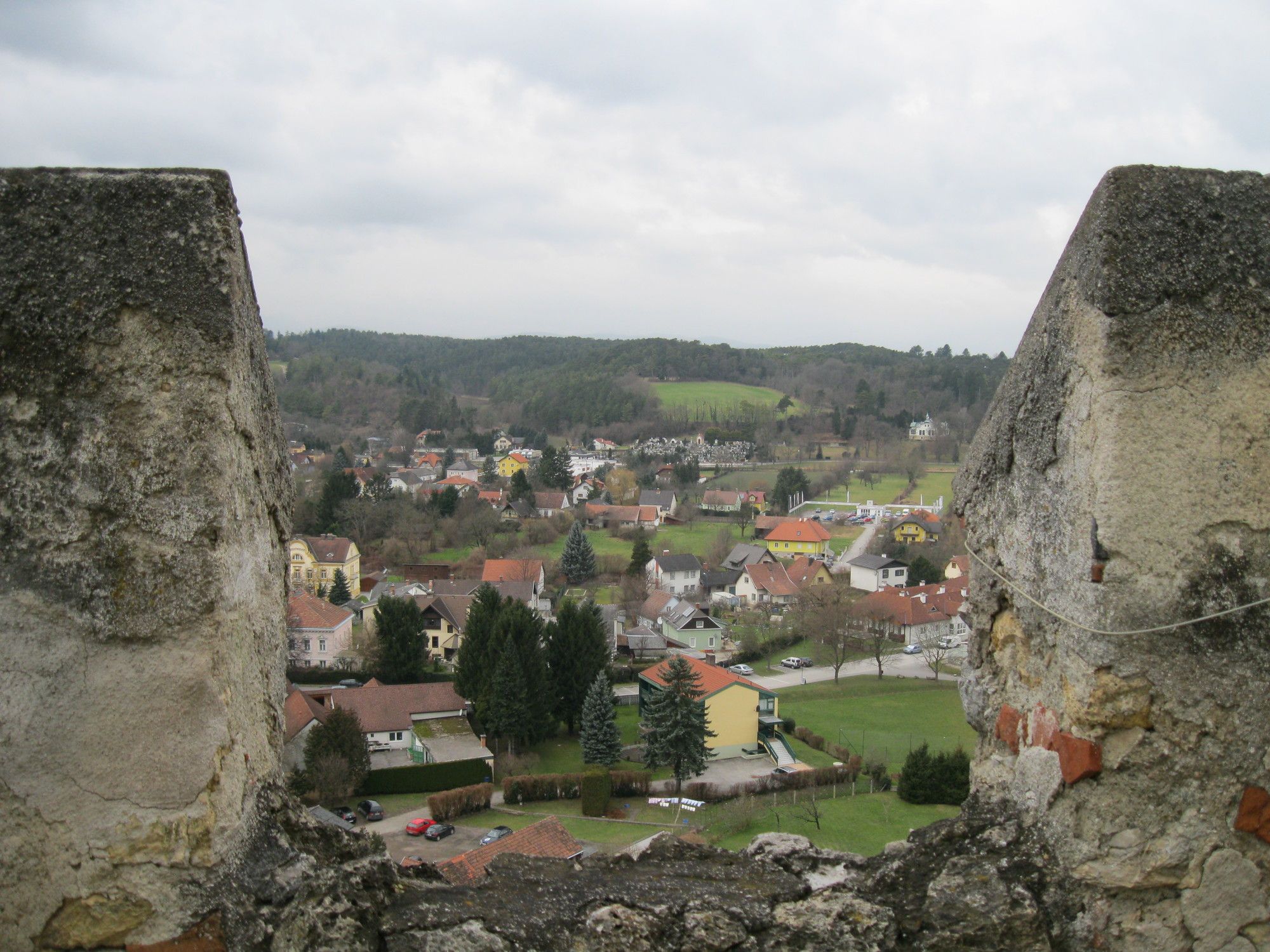
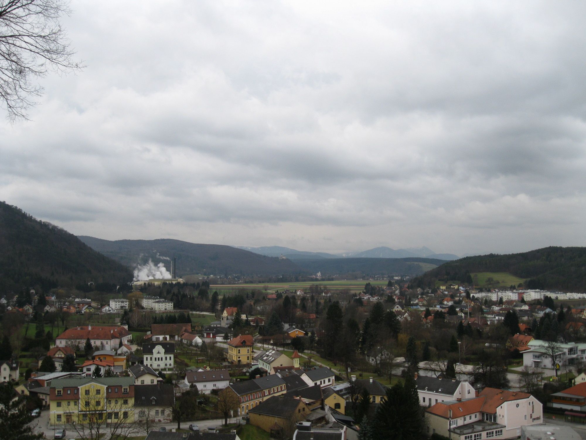
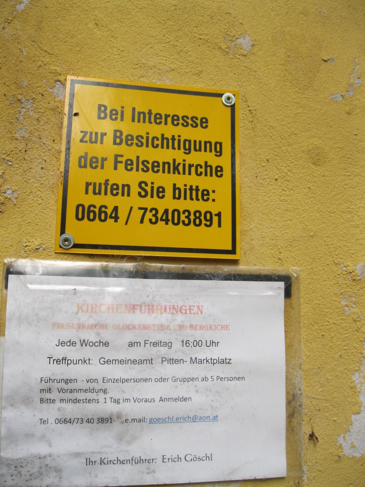
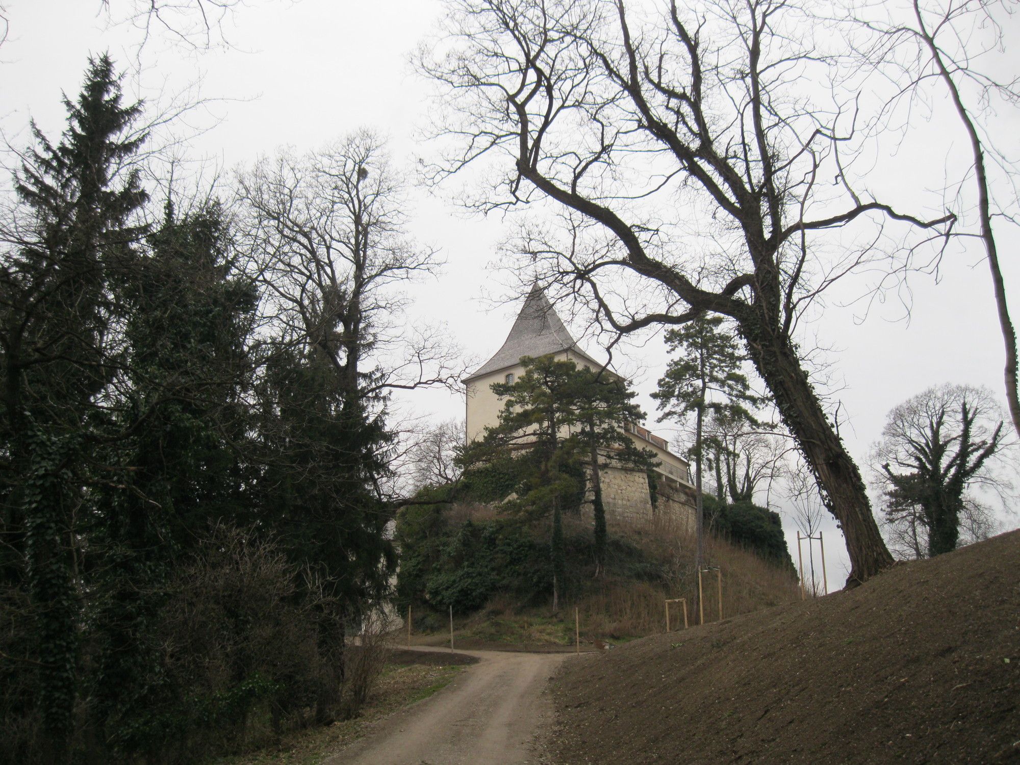
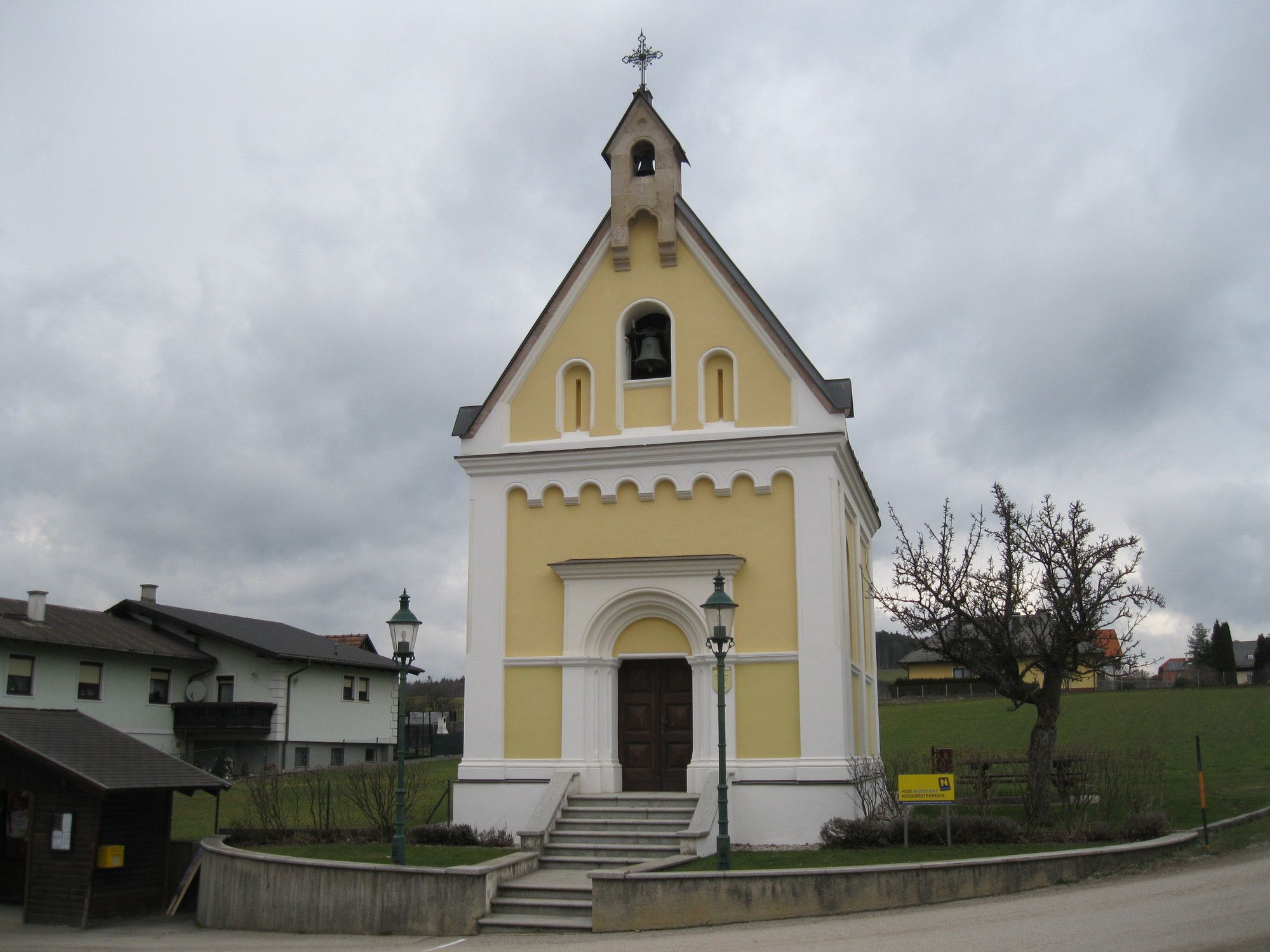
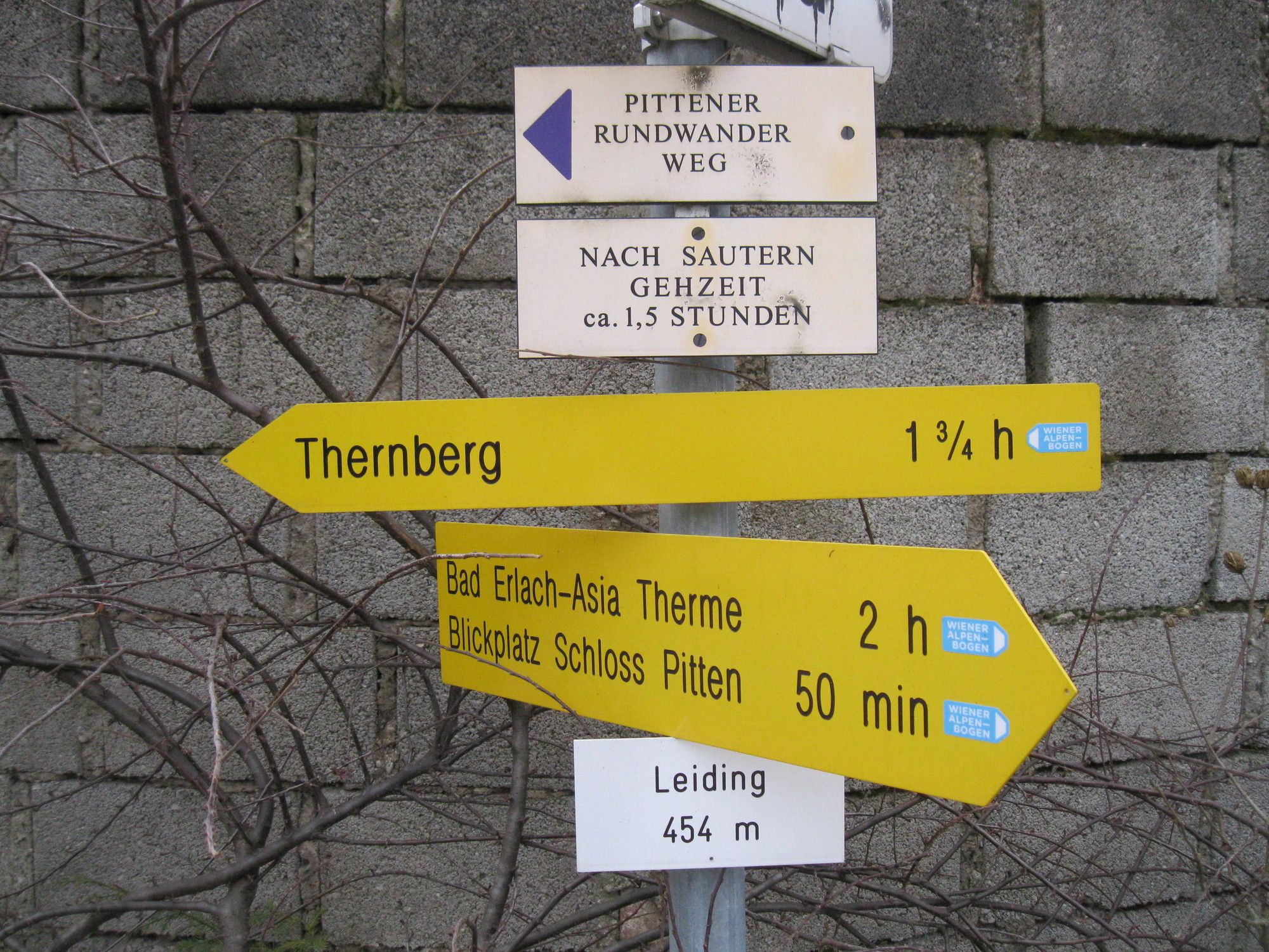
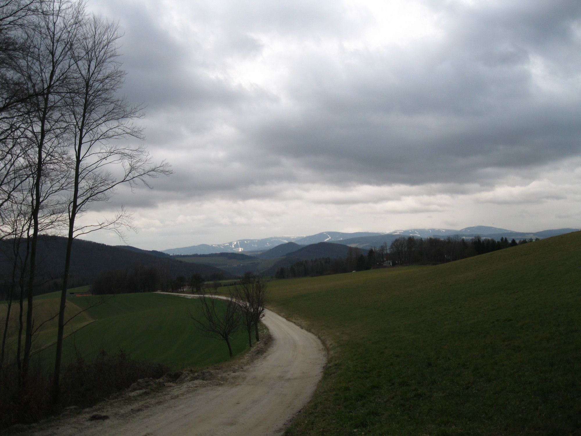
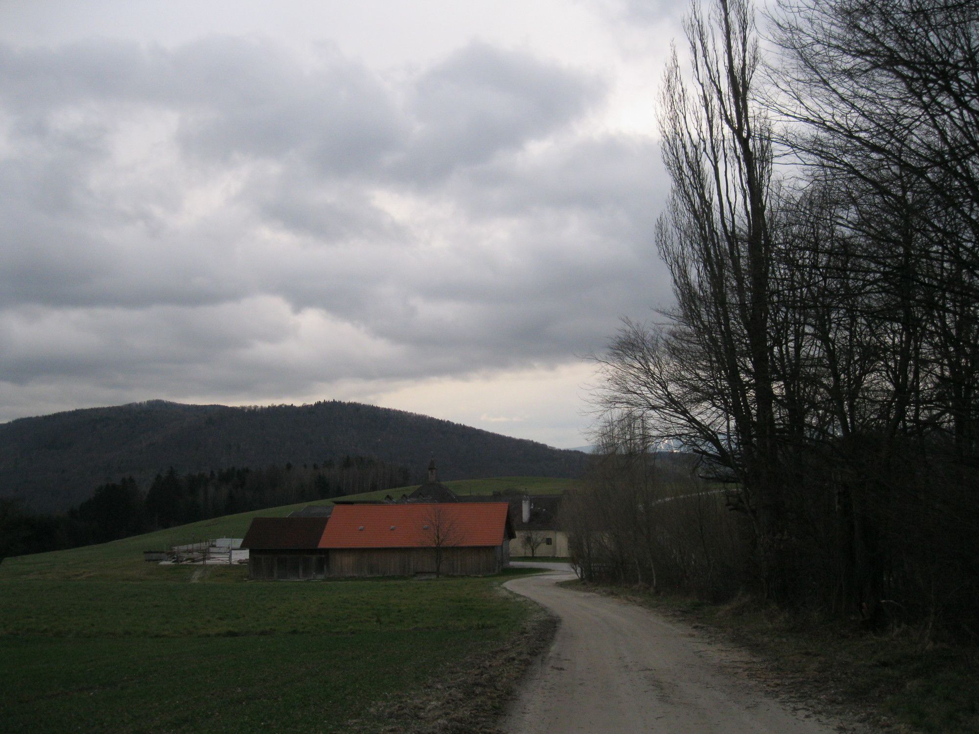
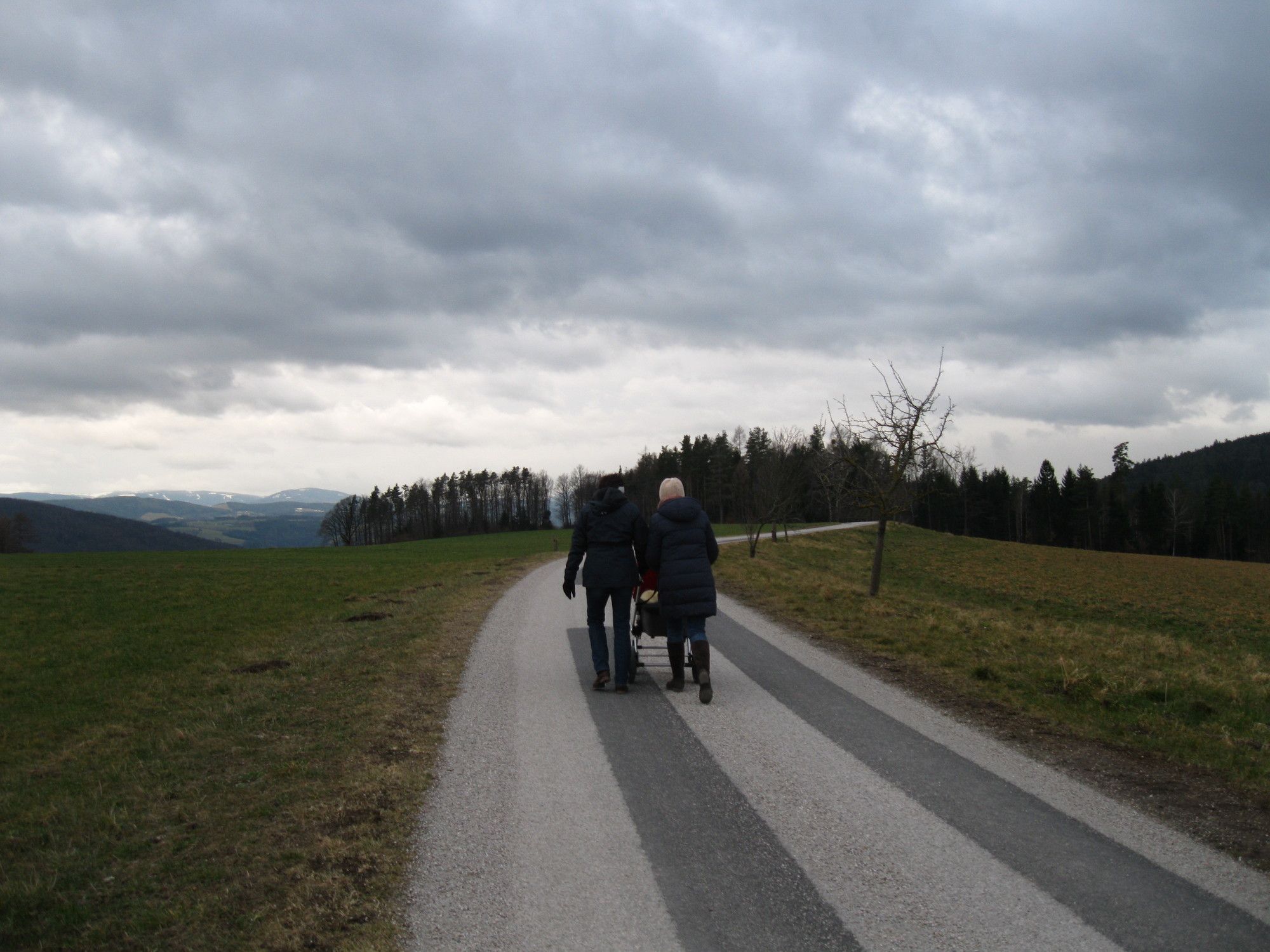
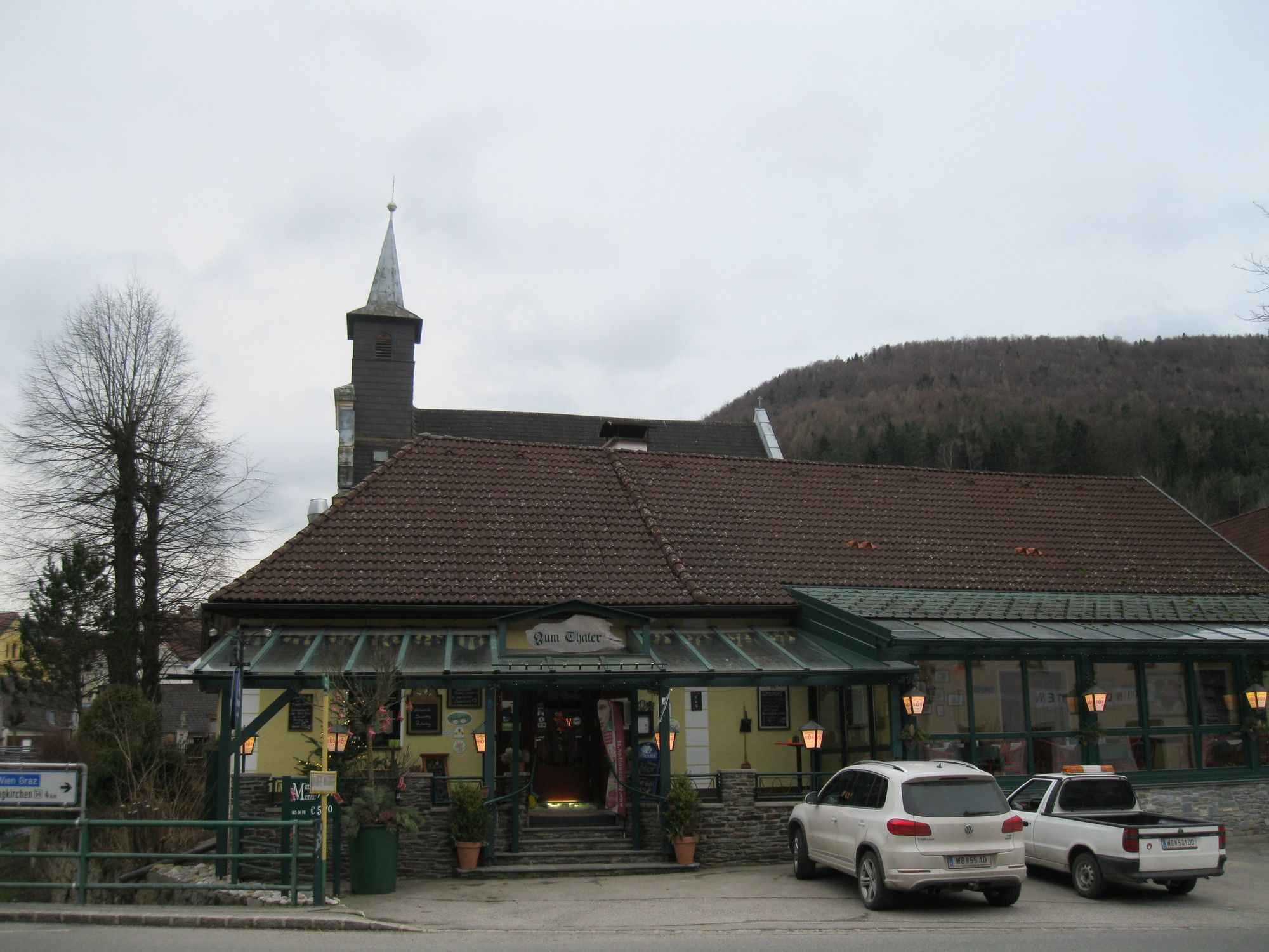
Bad Erlach0,1 kmUlrichskirche1,0 kmLinsbergstollen1,3 kmLinsbergstollen1,4 kmLinsberg1,9 kmGasthof "Zur Therme" Fink2,7 kmMarienkapelle2,8 kmBrunn an der Pitten2,9 kmPitten4,4 kmGasthof Manhalter4,5 kmBergkirche, Hl. Georg5,0 kmFelsenkirche (Karnerhöhle)5,0 kmSchlossberghöhle5,0 kmSchlossberg (440 m)5,4 kmFranzosenkreuz7,6 kmHl. Johannes der Täufer7,9 kmLeiding8,0 kmNeustift12,8 kmGasthaus Thaler14,1 kmLandgasthaus Thaler14,1 kmPfarrkirche Unbefleckte Empfängnise Mariens14,2 kmThernberg14,2 kmInnerschildgraben15,5 kmGasthaus Wöhrer15,6 kmSpätlingshöhle16,8 kmTaverne & Gasthaus Apollo17,6 kmPfarrkirche Scheiblingkirchen17,6 kmScheiblingkirchen17,7 km
- Paras kausi
-
tammihelmimaalishuhtitoukokesäheinäelosyyslokamarrasjoulu
- Korkein kohta
- 554 m


GPS Downloads


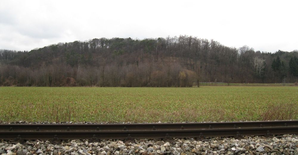
Polun olosuhteet
Asfaltti
Sora
Niitty
Metsä
Kallio
Altistettu
Lisää retkiä alueilla
-
Wiener Alpen
3048
-
Wechselland - Wiener Alpen
1704
-
Pitten
350