- Lyhyt kuvaus
-
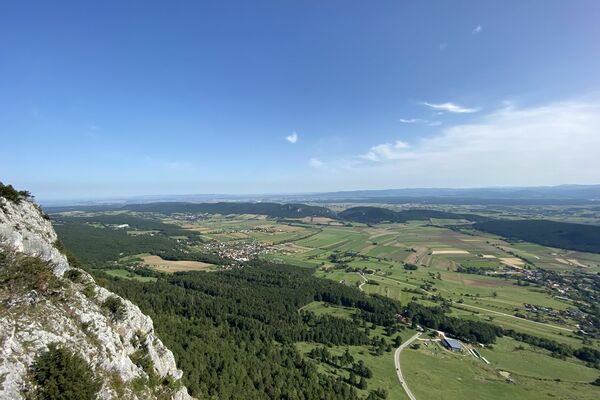
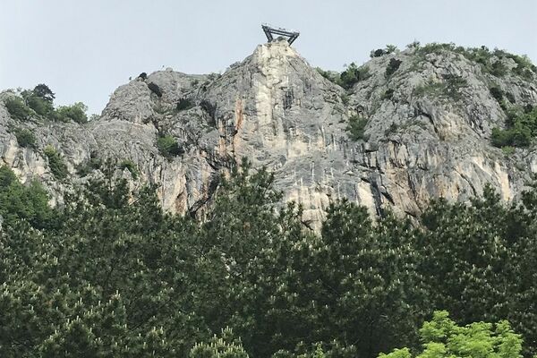
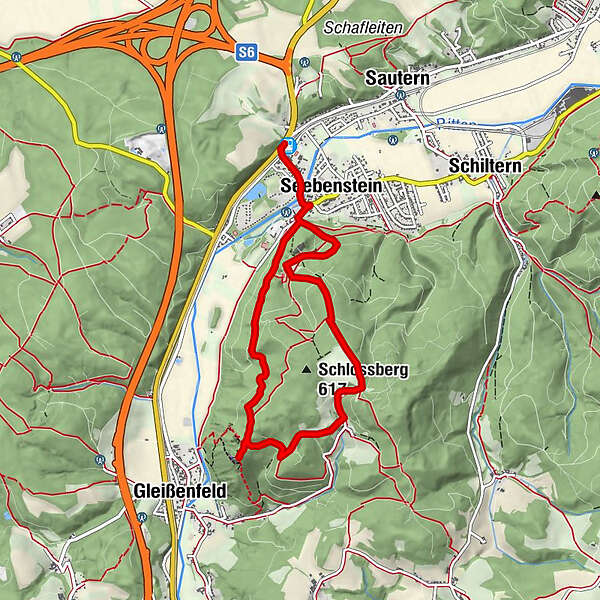
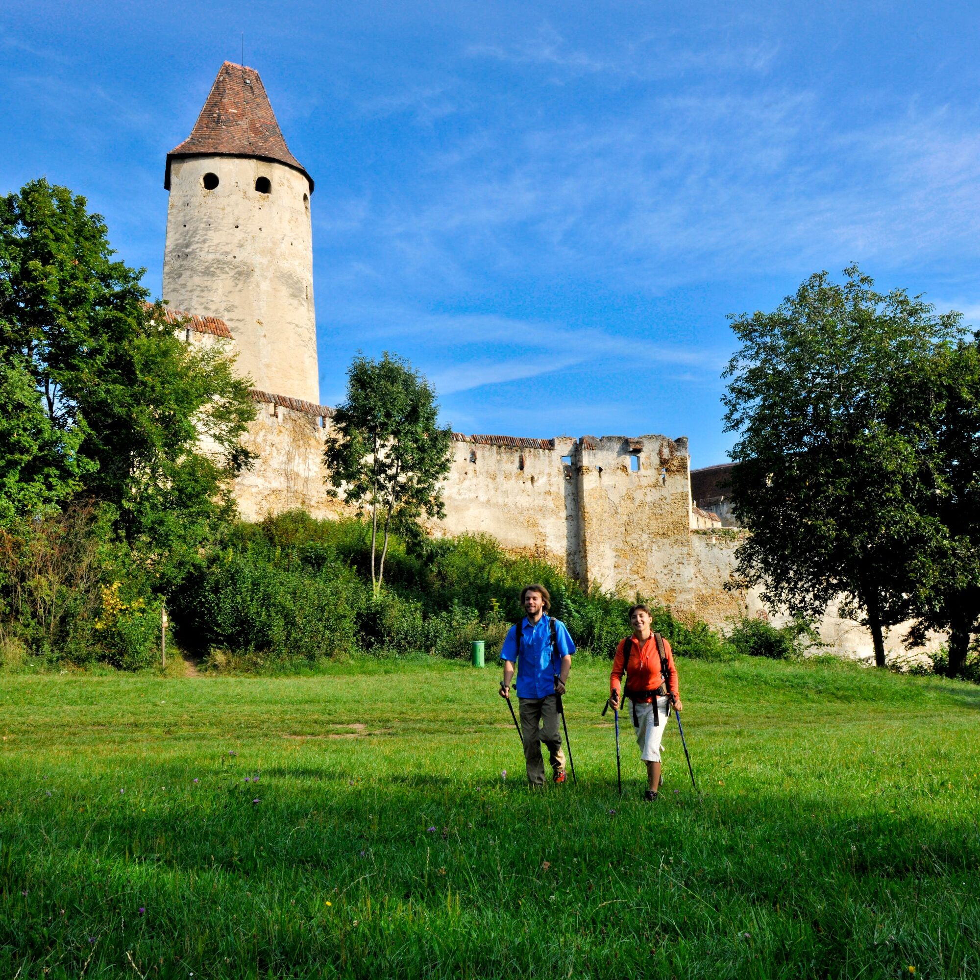
A stimulating hike over the Seebenstein Schlossberg to the artificial “Türkensturz” ruin – easily accessible by public transport!
- Vaikeus
-
vaikea
- Arviointi
-
- Reitti
-
SeebensteinPizzeria zum Spitz0,1 kmSeebenstein0,6 kmSchwarze Höhle3,1 kmTürkensturz3,1 kmSollgraben4,3 kmTemplerhöhle6,9 kmSeebenstein7,1 km
- Paras kausi
-
tammihelmimaalishuhtitoukokesäheinäelosyyslokamarrasjoulu
- Korkein kohta
- 587 m
- Kohde
-
outdoor pool Seebenstein
- Korkeusprofiili
-

- Kirjoittaja
-
Kiertue Hike to Seebenstein Castle & the Türkensturz Ruin käyttää outdooractive.com toimitettu.
GPS Downloads


Yleistä tietoa
Virvokepysäkki
Kulttuuri/Historiallinen
Flora
Fauna
Lupaava
Lisää retkiä alueilla
-
Wiener Alpen
3050
-
Wechselland - Wiener Alpen
1706
-
Seebenstein
429