
Picasa
Picasa
Picasa
Picasa
Picasa
Picasa
Picasa
Picasa
Picasa
Retkitiedot
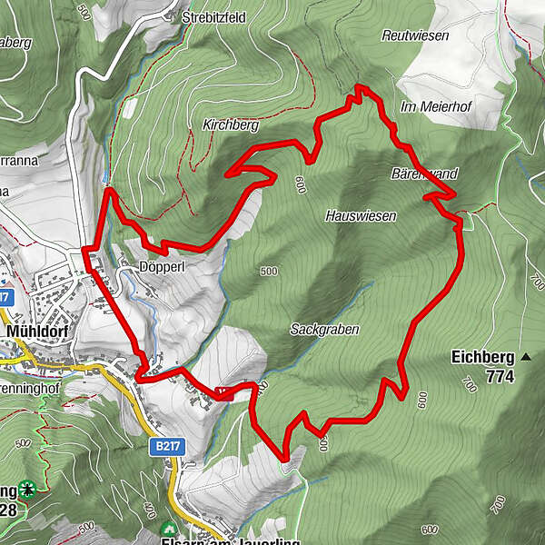
7,7km
345
- 740m
372hm
383hm
02:45h
- Lyhyt kuvaus
-
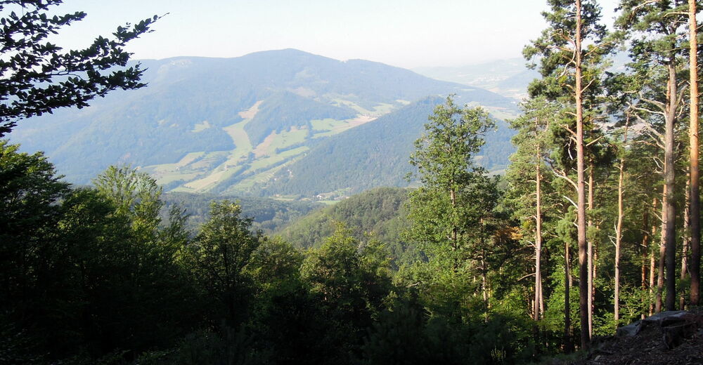
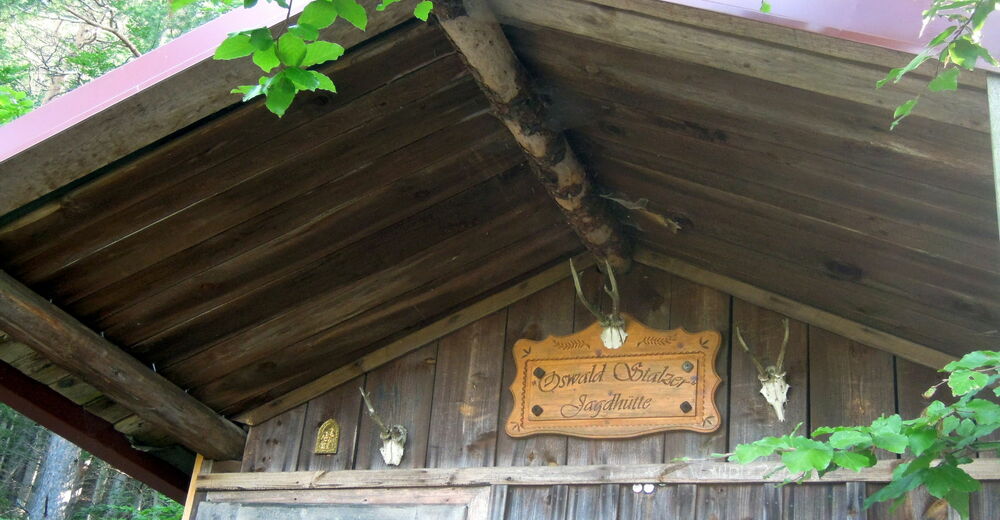
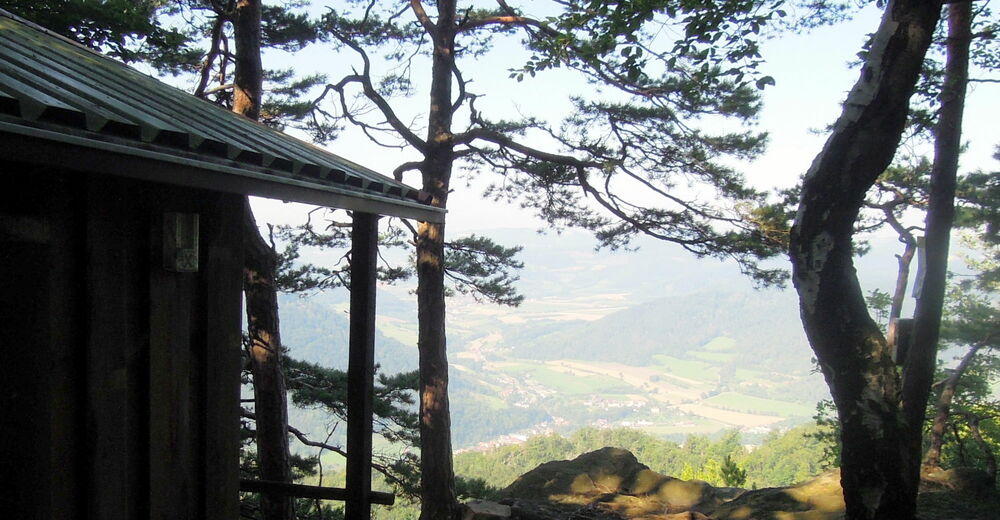
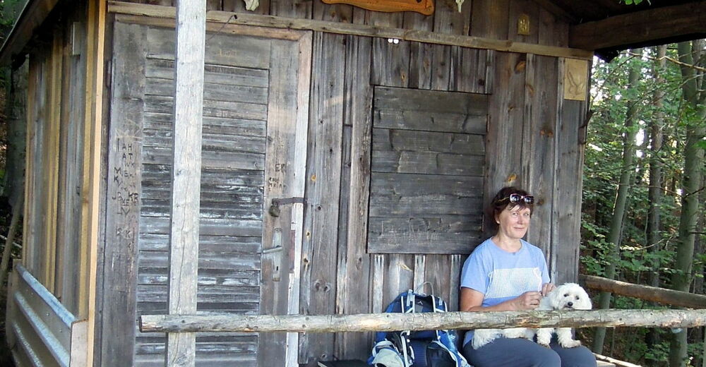
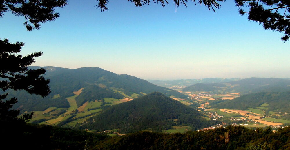
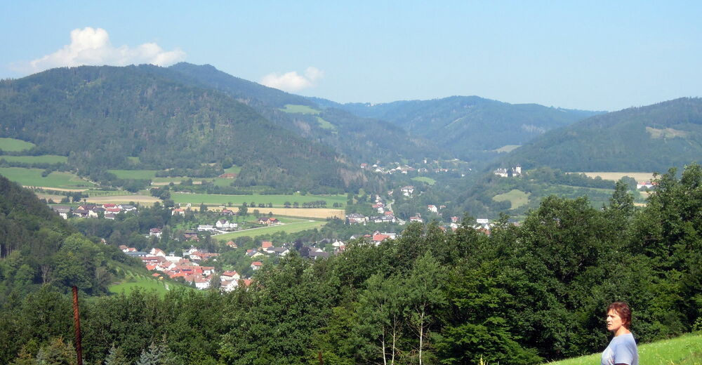
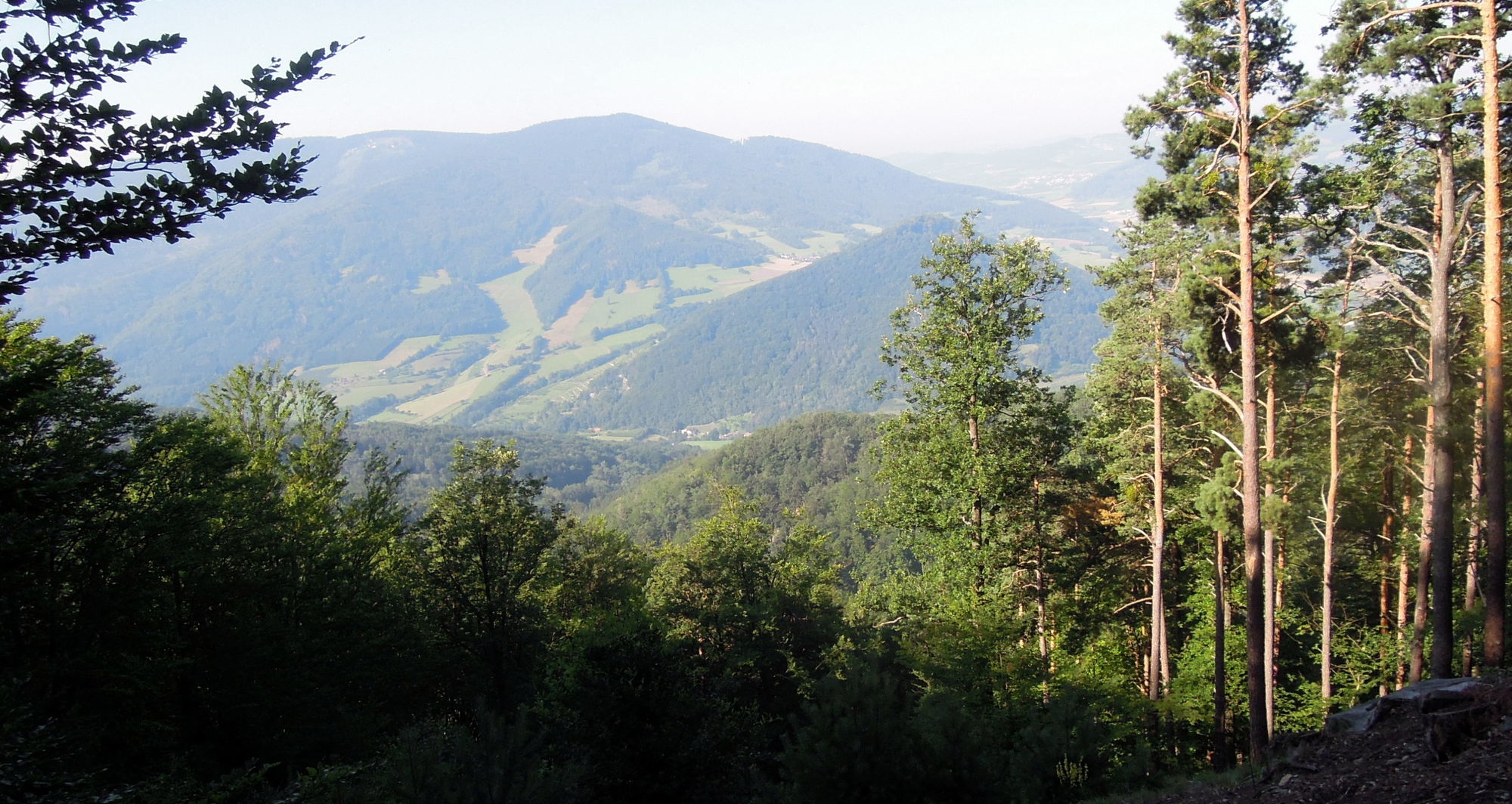
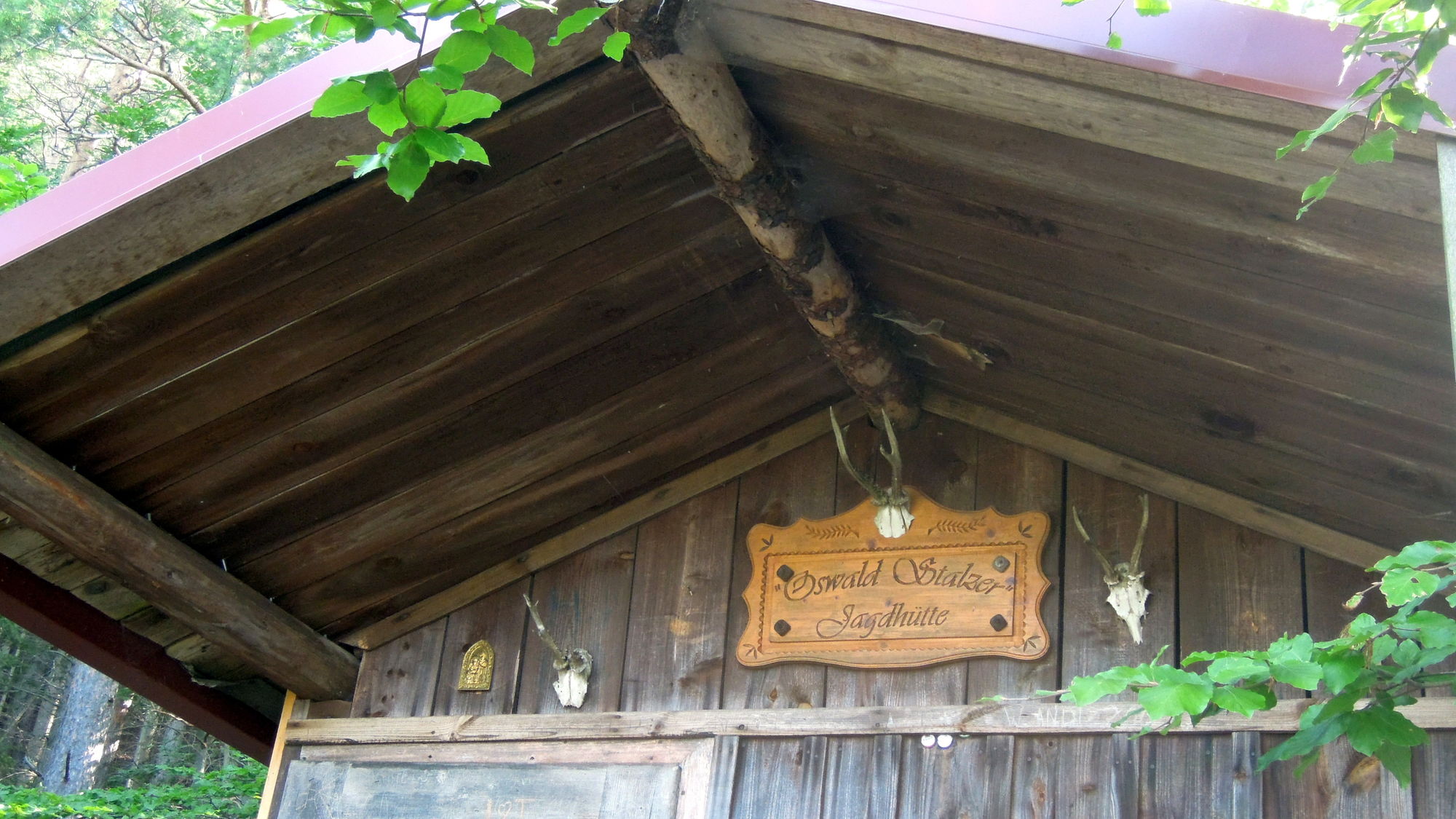
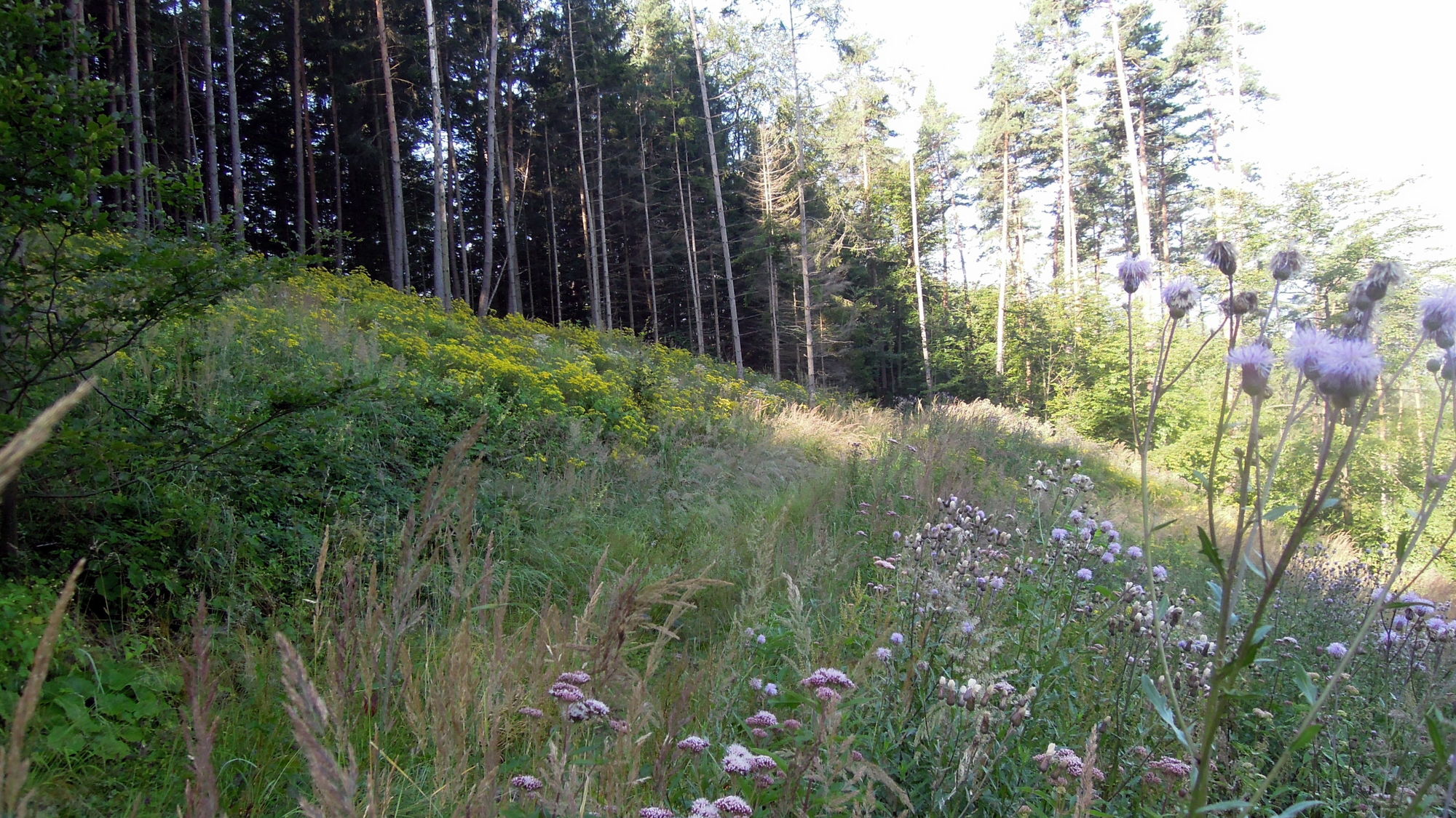
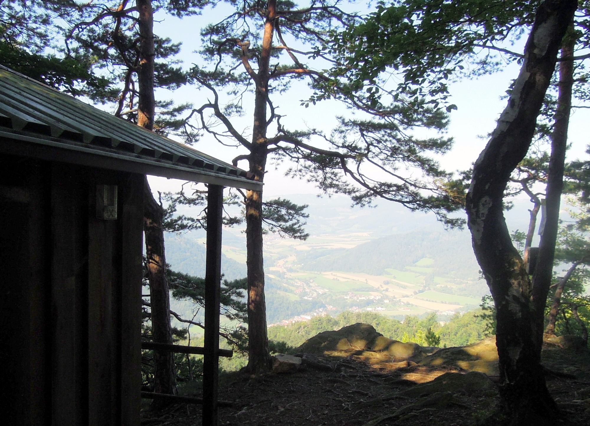
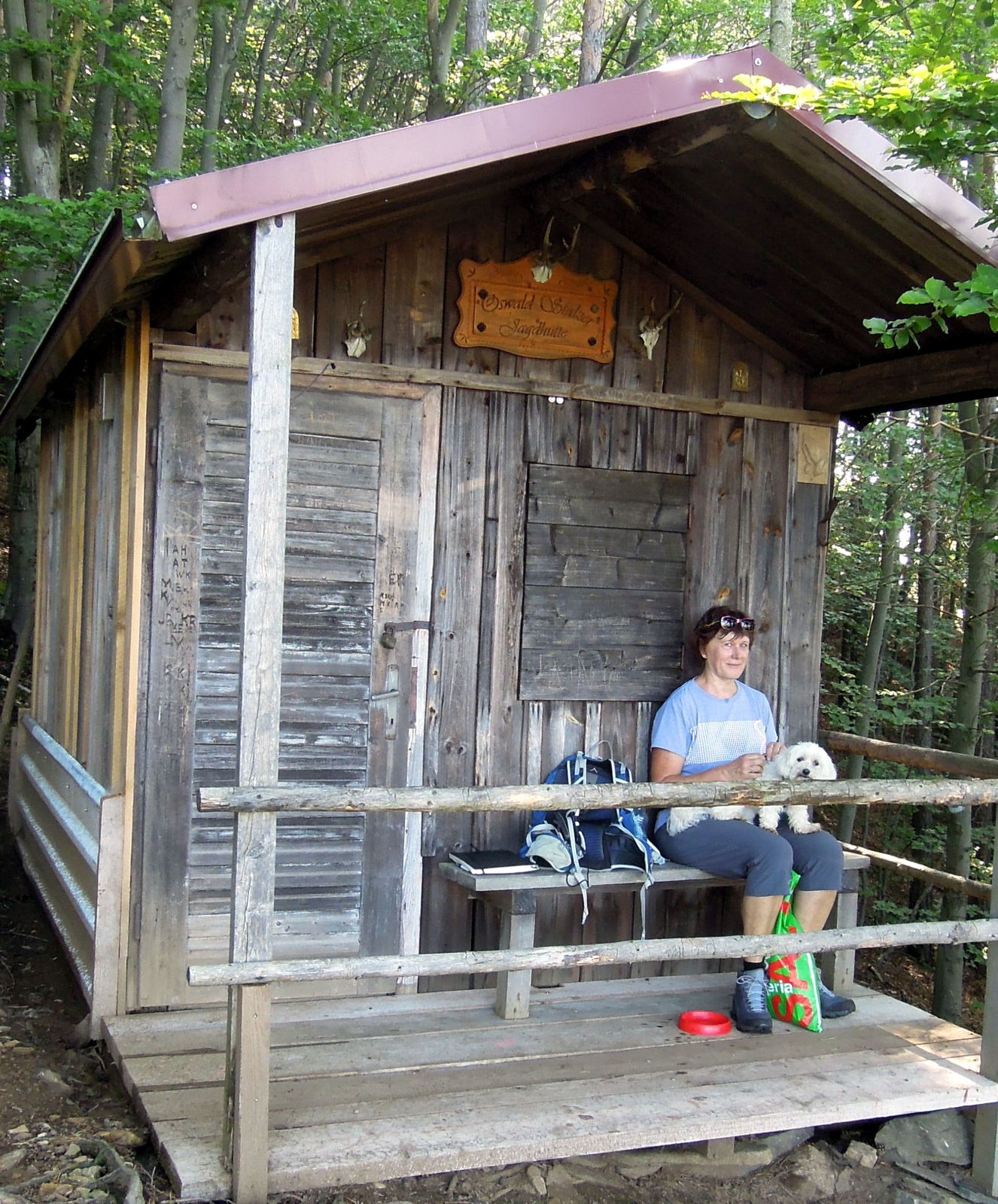
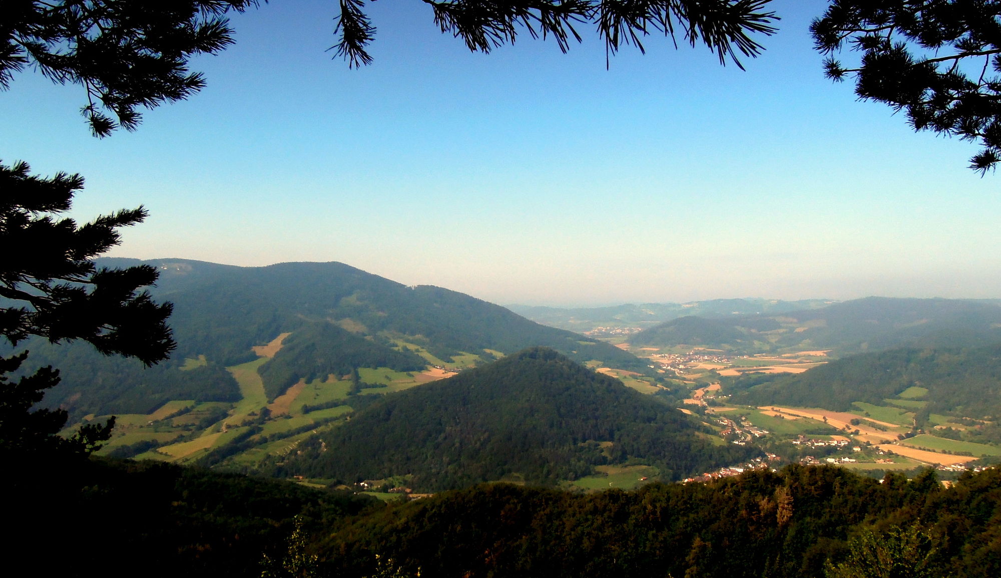
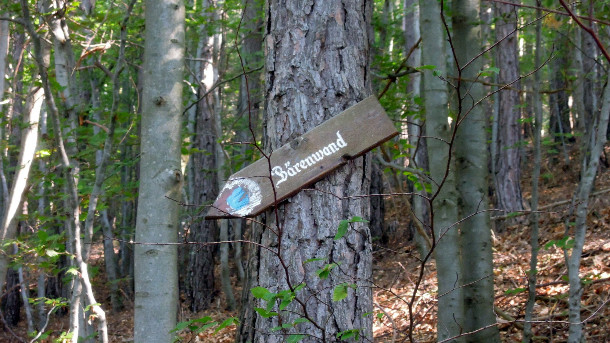
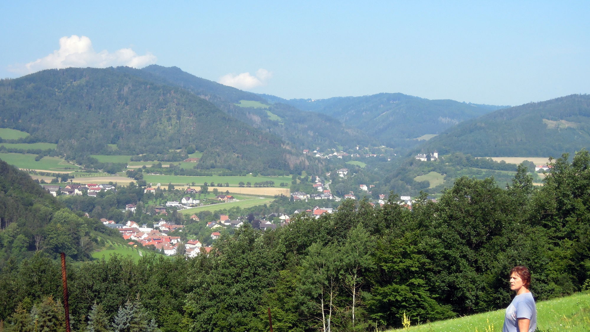
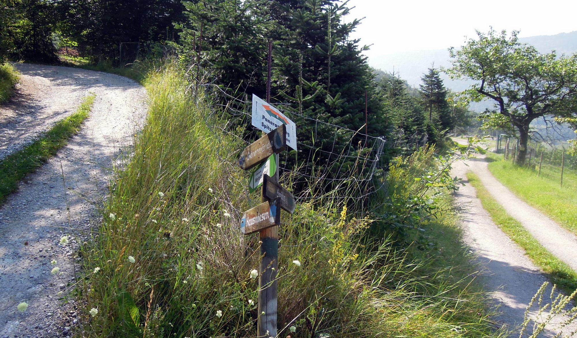
Rundwanderung durch schattigen Wald auf das Höhenplateau südlich von Wolfenreith und weiter zur OSWALD- STALZER Jagdhütte mit Panoramasicht. Im Abstieg schöne Felsformation BÄRENWAND.
- Vaikeus
-
tapa
- Arviointi
-
- Lähtöpiste
-
wie oben
- Reitti
-
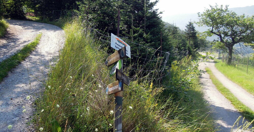
MühldorfNiederrannaJohannes-Feld0,0 kmPfarrkirche hl. Margaretha0,1 kmDöpperl0,8 kmMuthstal6,7 kmMühldorf7,5 kmDöpperl7,6 kmGasthaus Busch7,6 kmNiederranna7,6 km
- Paras kausi
-
tammihelmimaalishuhtitoukokesäheinäelosyyslokamarrasjoulu
- Korkein kohta
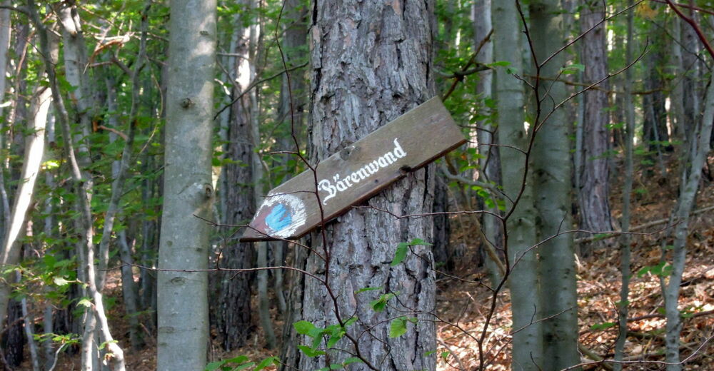
- Bärenwand (740 m)
- Kohde
-
Bärenwand
- Lepo/Retriitti
-
keine Einkehr möglich, Rast an der Jagdhütte
Trinkwasser mitnehmen - Karttamateriaali
-
siehe Bergfex
- Lähde
- Walter Schneeweiss, Paudorf
GPS Downloads


Polun olosuhteet
Asfaltti
(10)
Sora
(20)
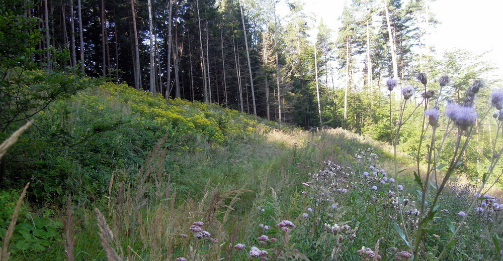
Niitty
(5)
Metsä
(60)
Kallio
(5)
Altistettu
(Bärenwand)
Lisää retkiä alueilla


