Göstling Leckermoor Wies- u. Schwarzalm Blachlboden Hochkar-Parkplatz 09.10.2014


© hel

© hel

© hel

© hel

© hel

© hel

© hel

© hel

© hel

© hel
Retkitiedot
19,1km
588
- 1.687m
1.480hm
570hm
07:00h

- Lyhyt kuvaus
-
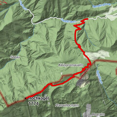
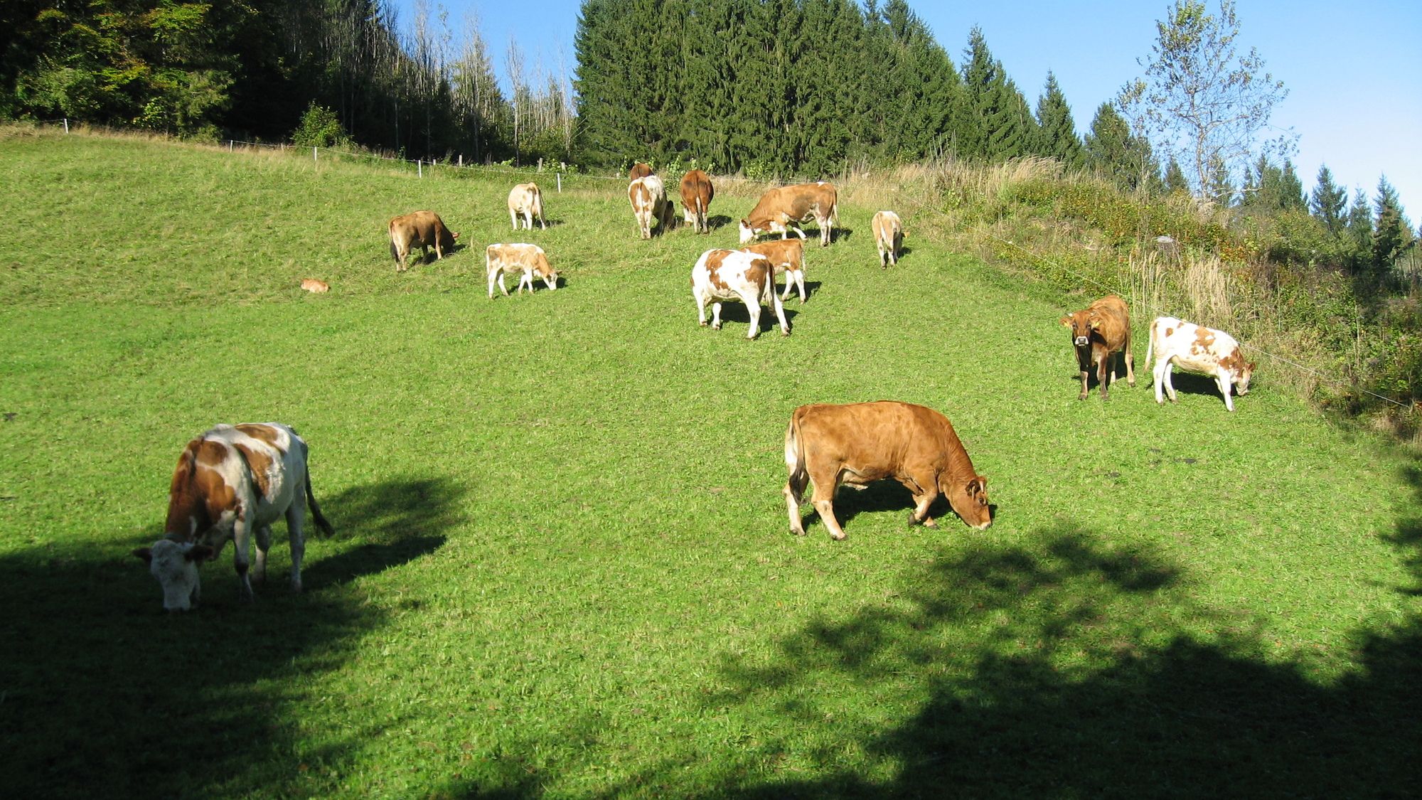
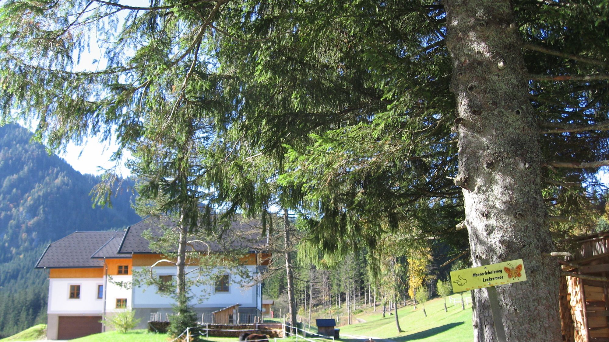
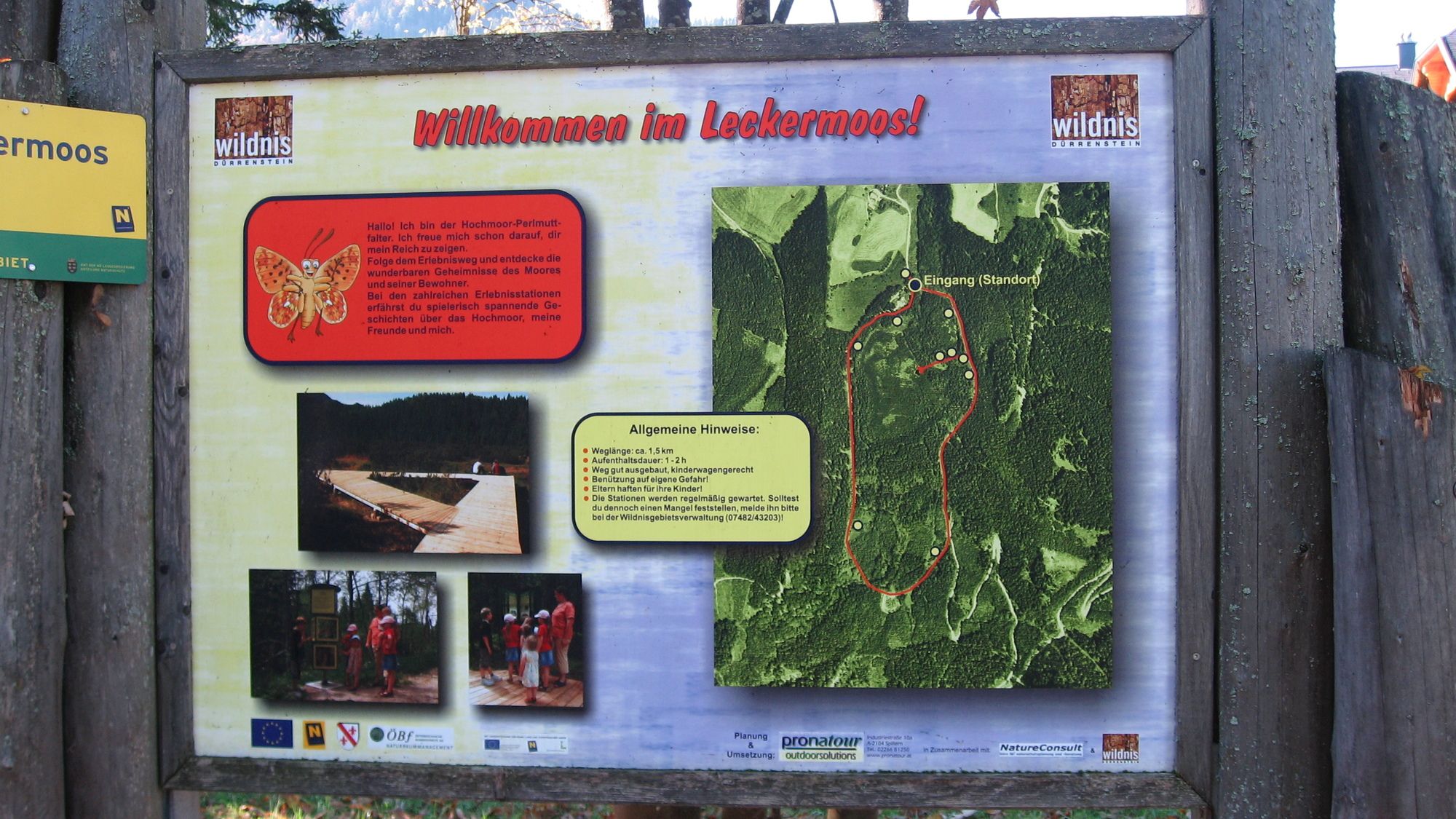
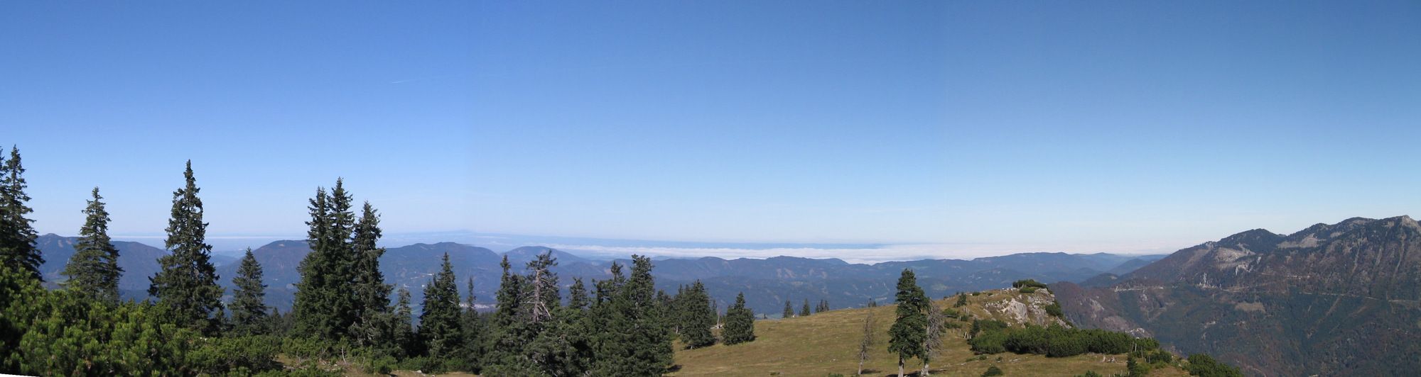
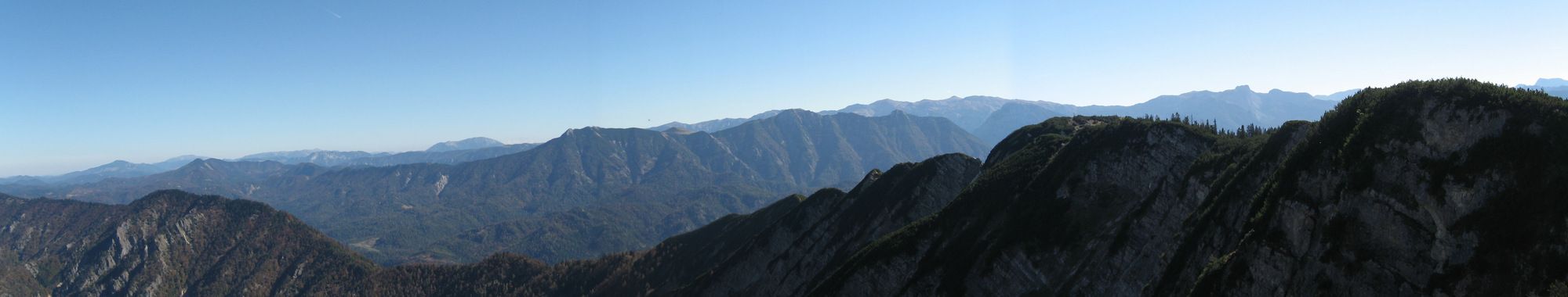
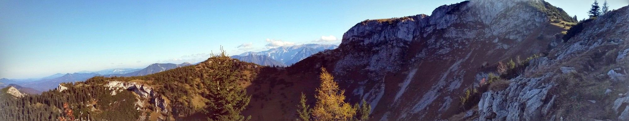
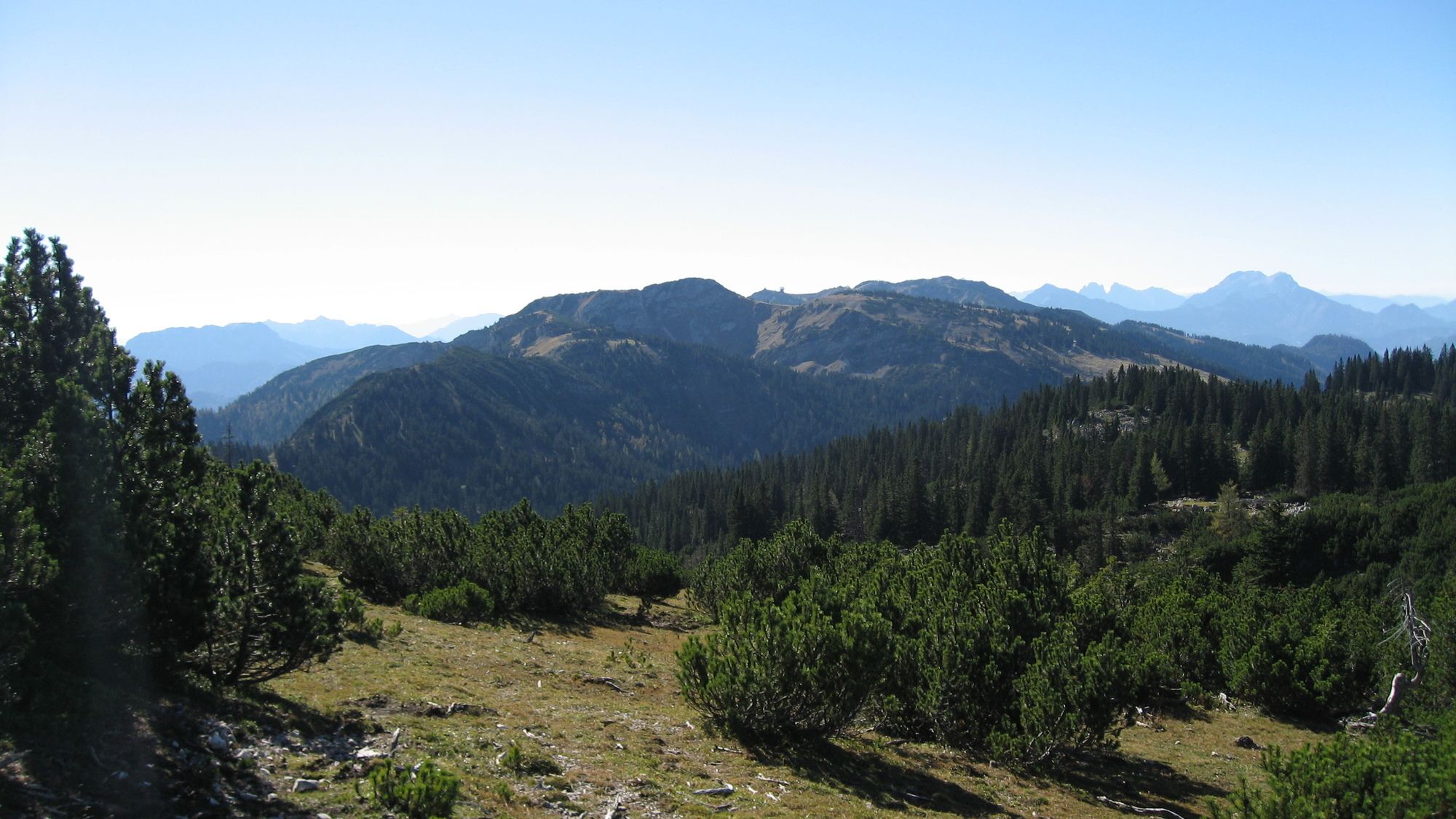
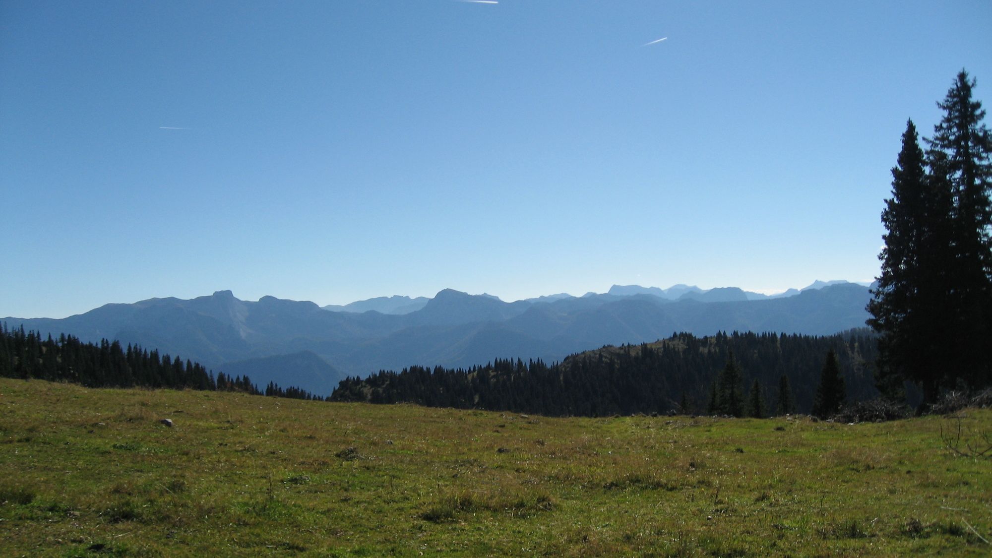
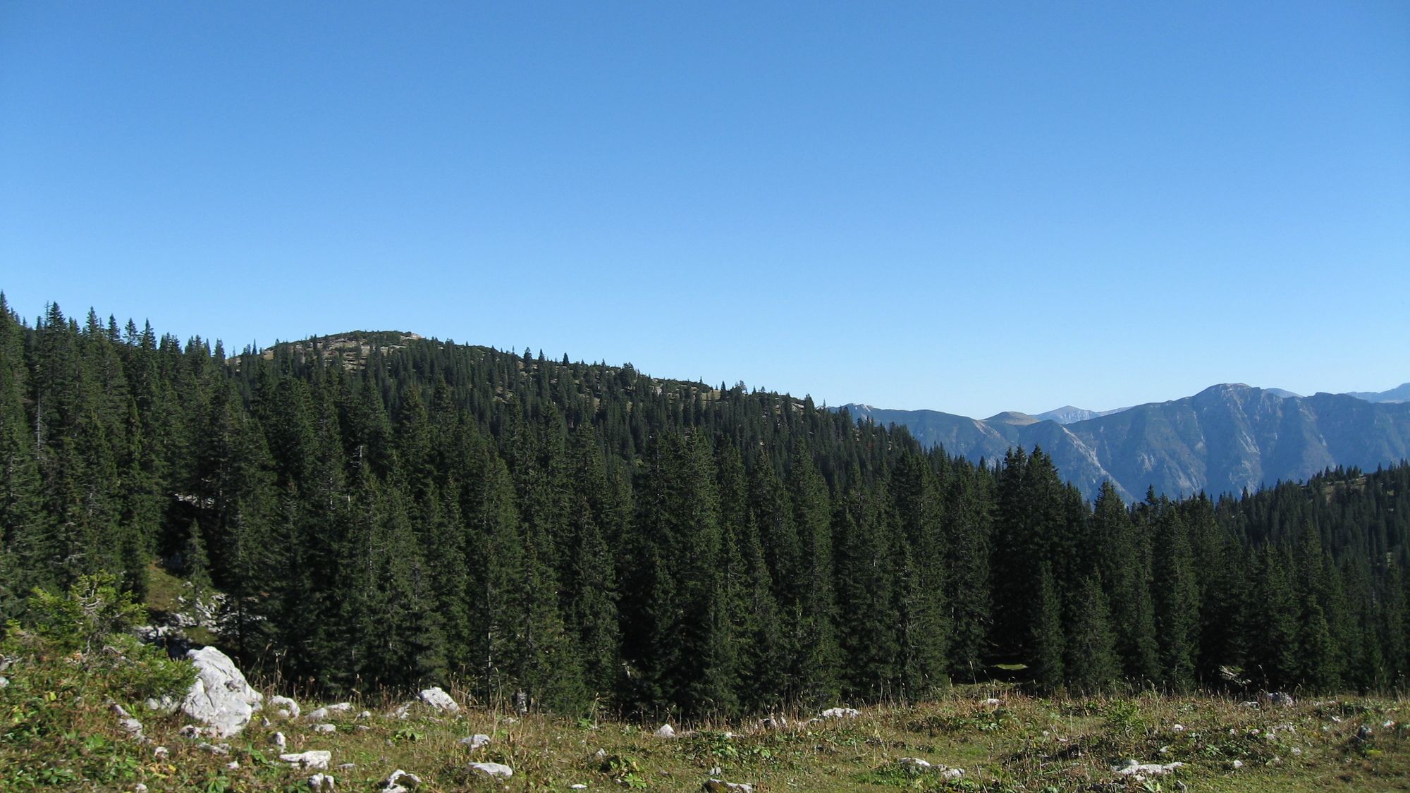
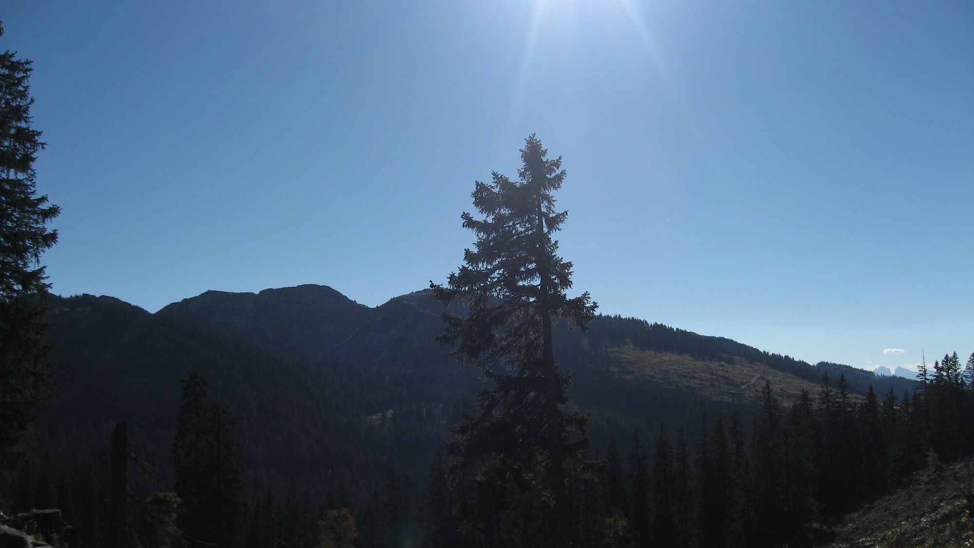
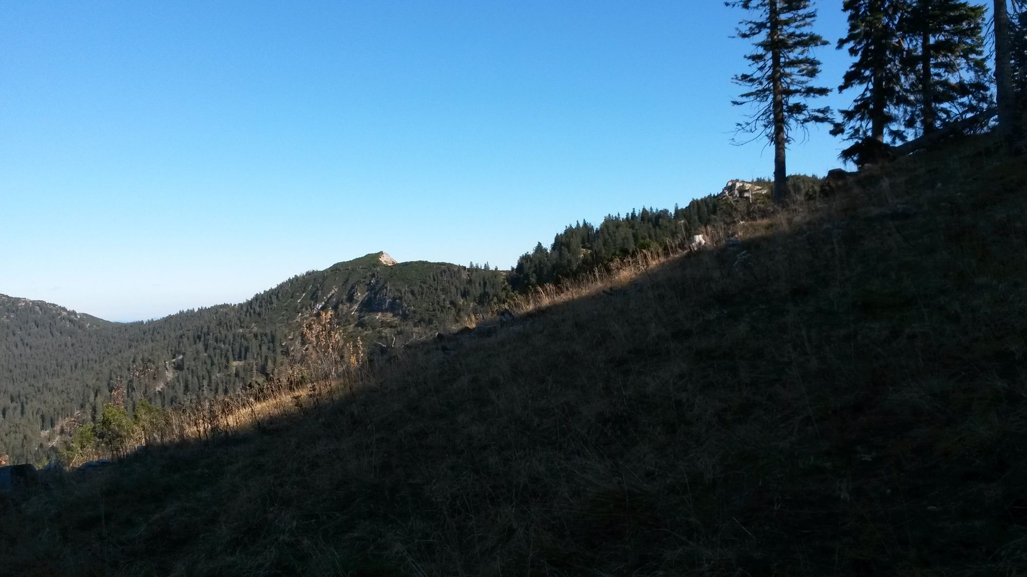
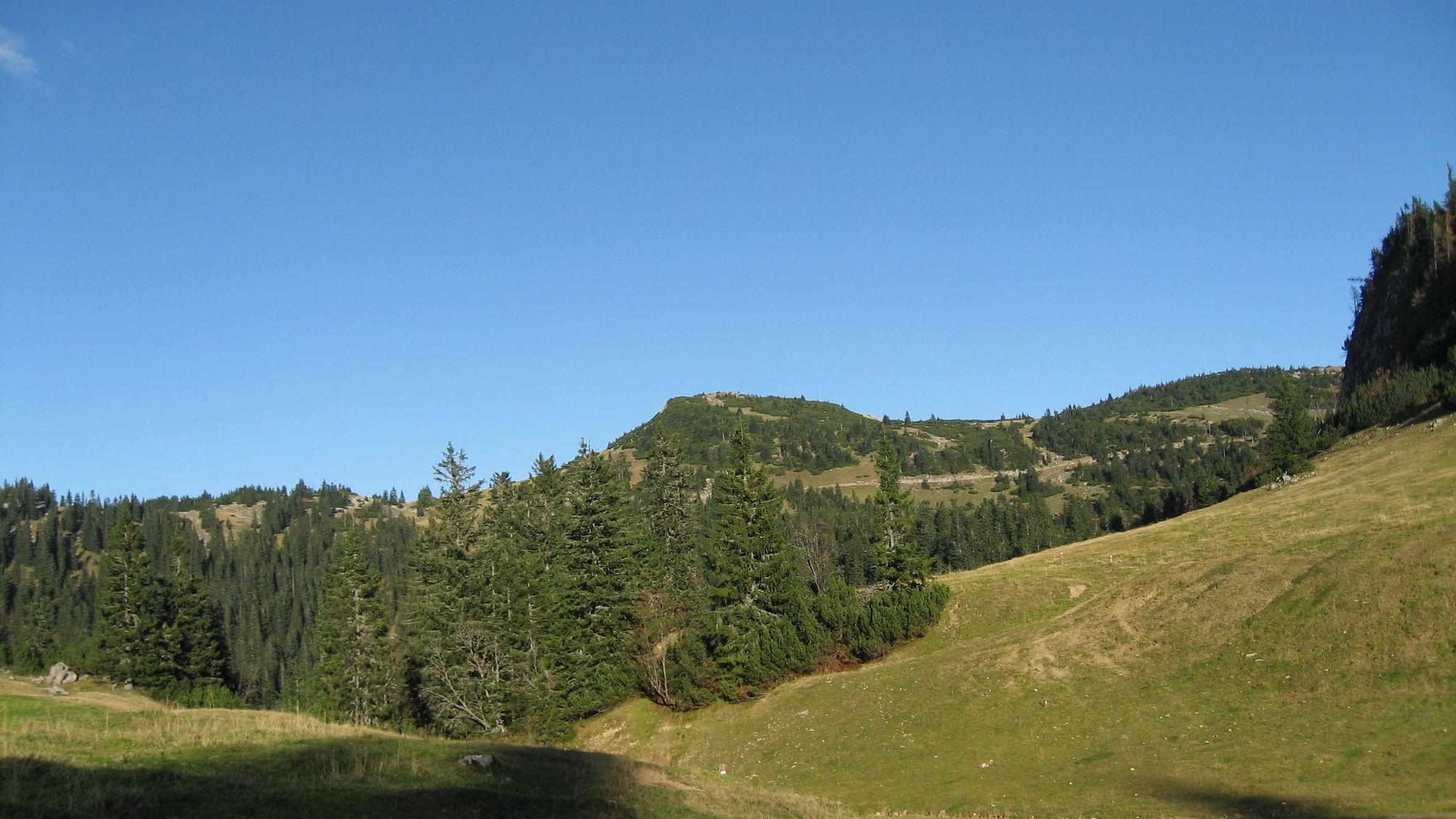
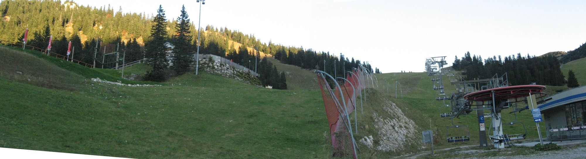
Wanderung von Göstling über das Leckermoor auf das Hochkar zum oberen Hochkar-Parkplatz
- Vaikeus
-
vaikea
- Arviointi
-
- Lähtöpiste
-
im Graben am Grabenweg
- Reitti
-
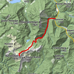
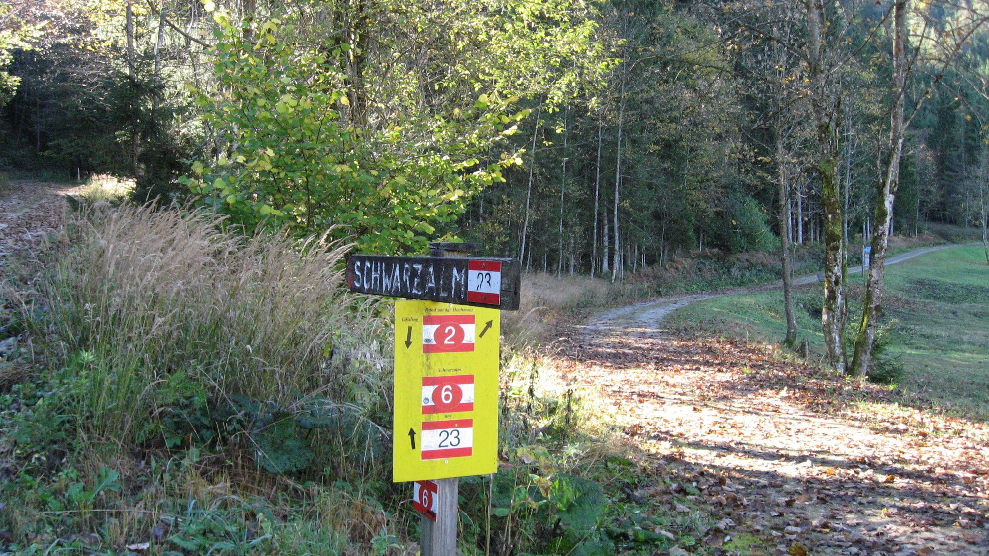
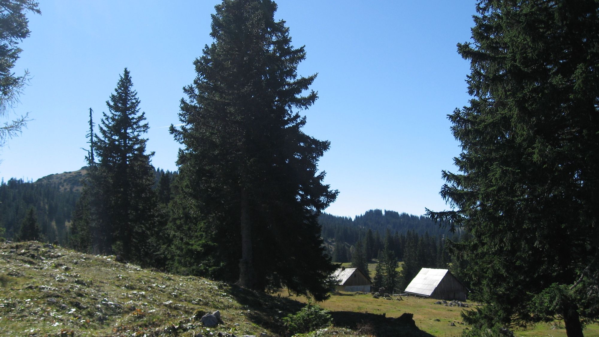
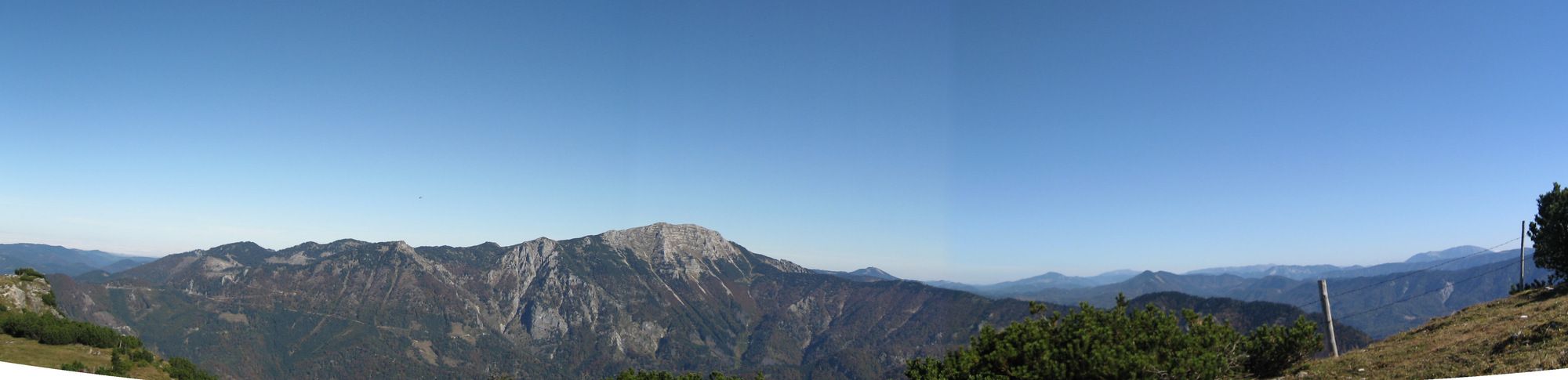
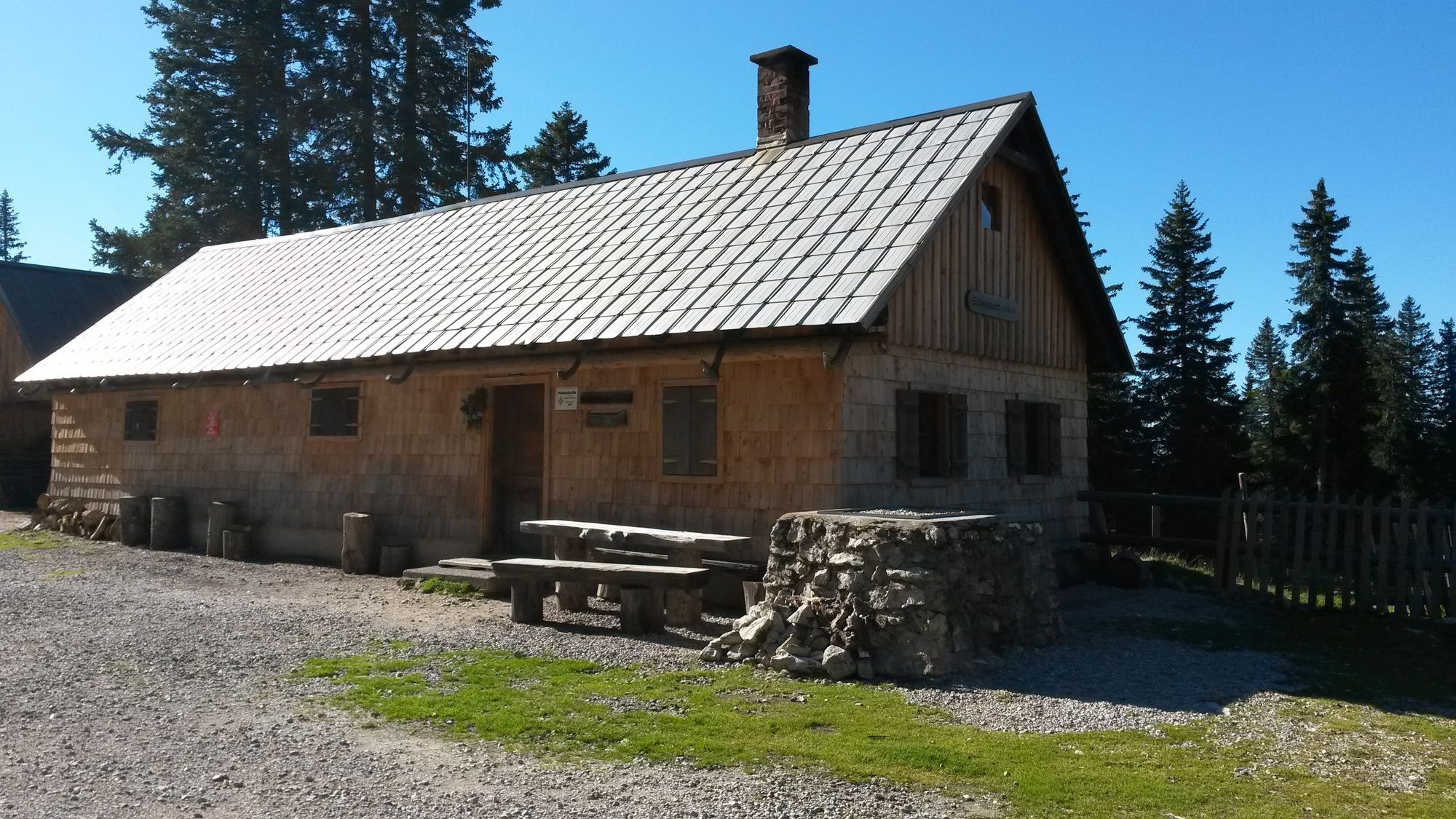
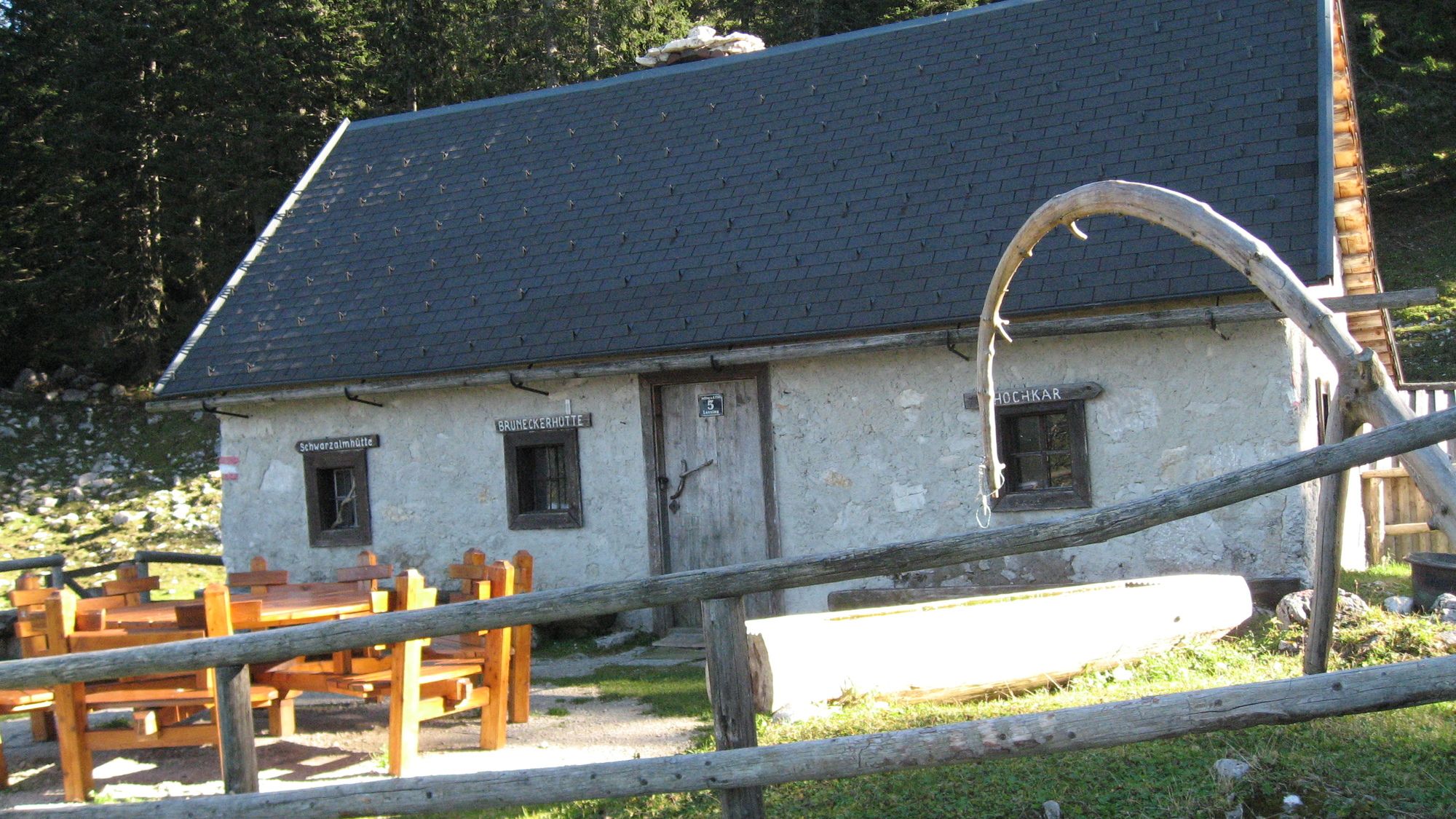
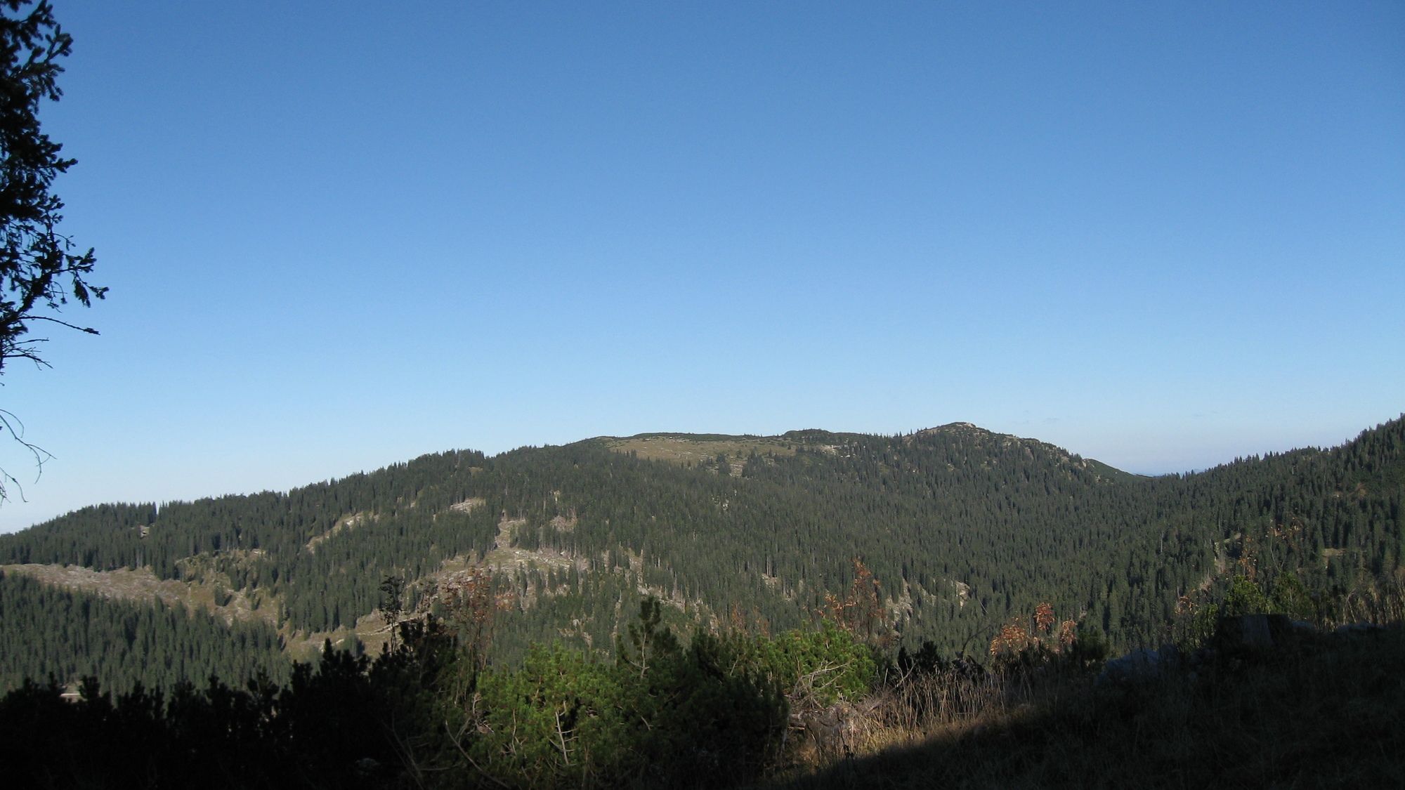
Kesselberg (1.657 m)10,7 kmSchwarzalmhütte12,4 kmBrunnecker Hütte14,7 km
- Paras kausi
-
tammihelmimaalishuhtitoukokesäheinäelosyyslokamarrasjoulu
- Korkein kohta
- Heuwies Schmalzstein (1.687 m)
- Kohde
-
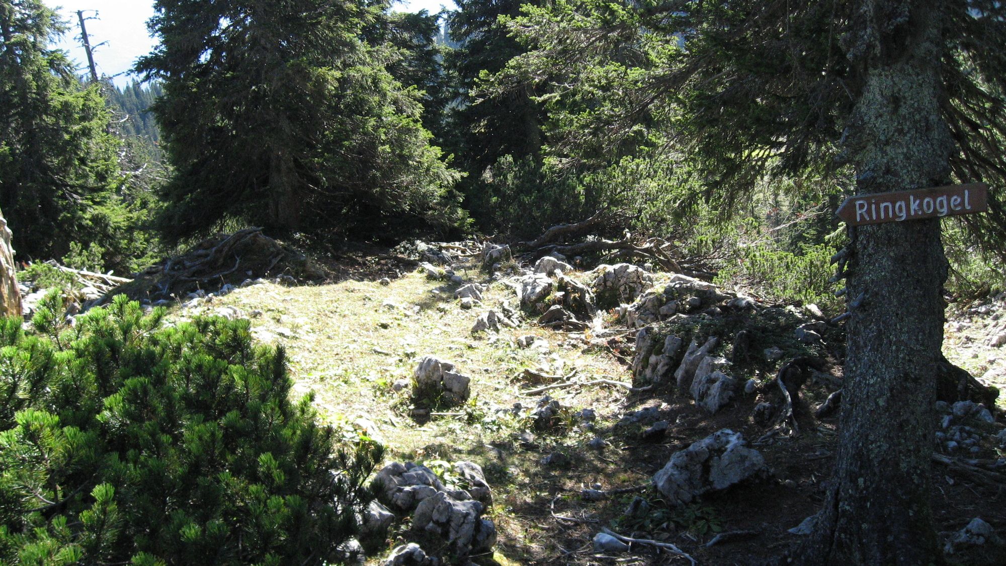
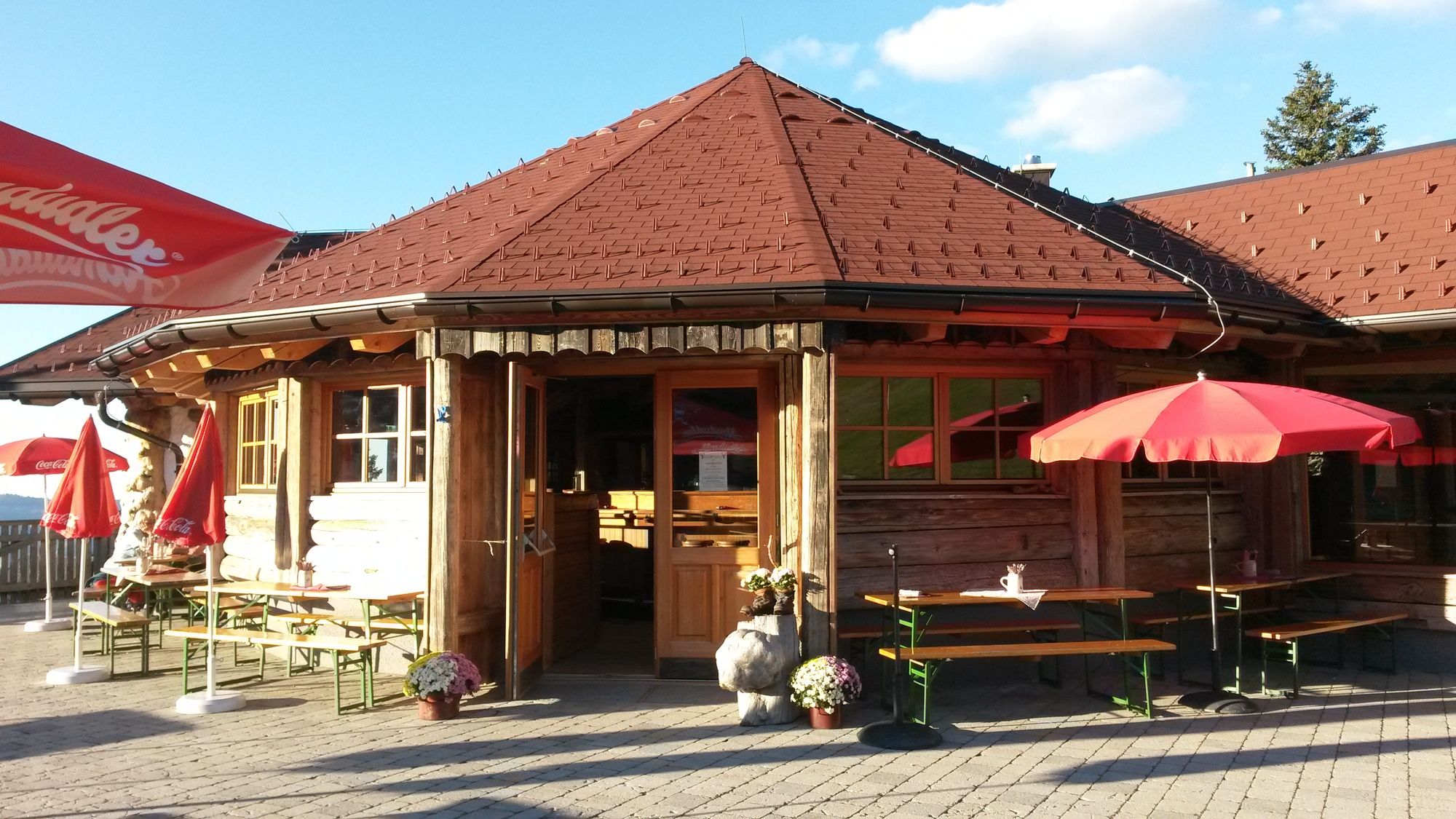
über Leckermoor zum Hochkar Parkplatz
- Lepo/Retriitti
-
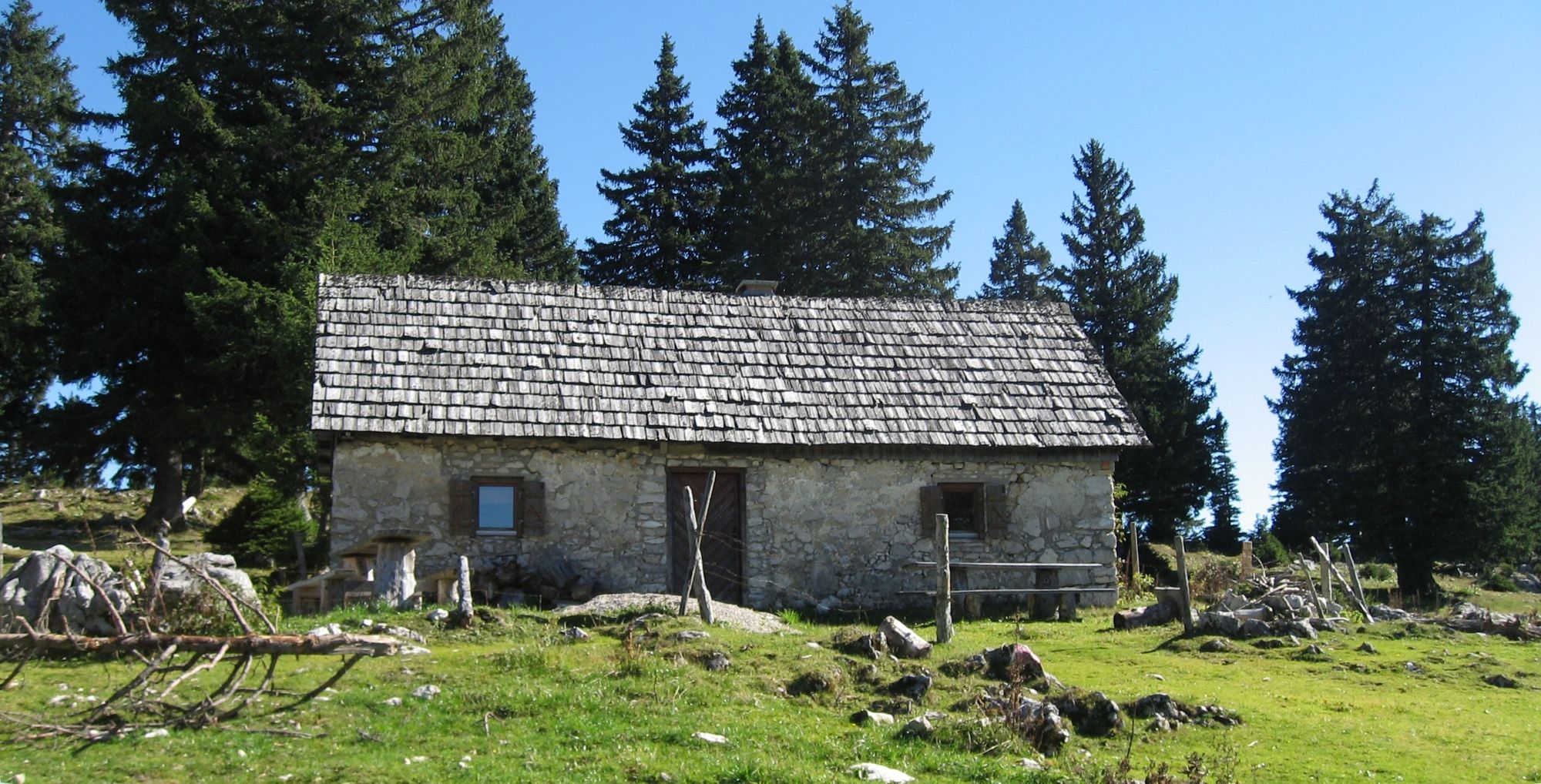
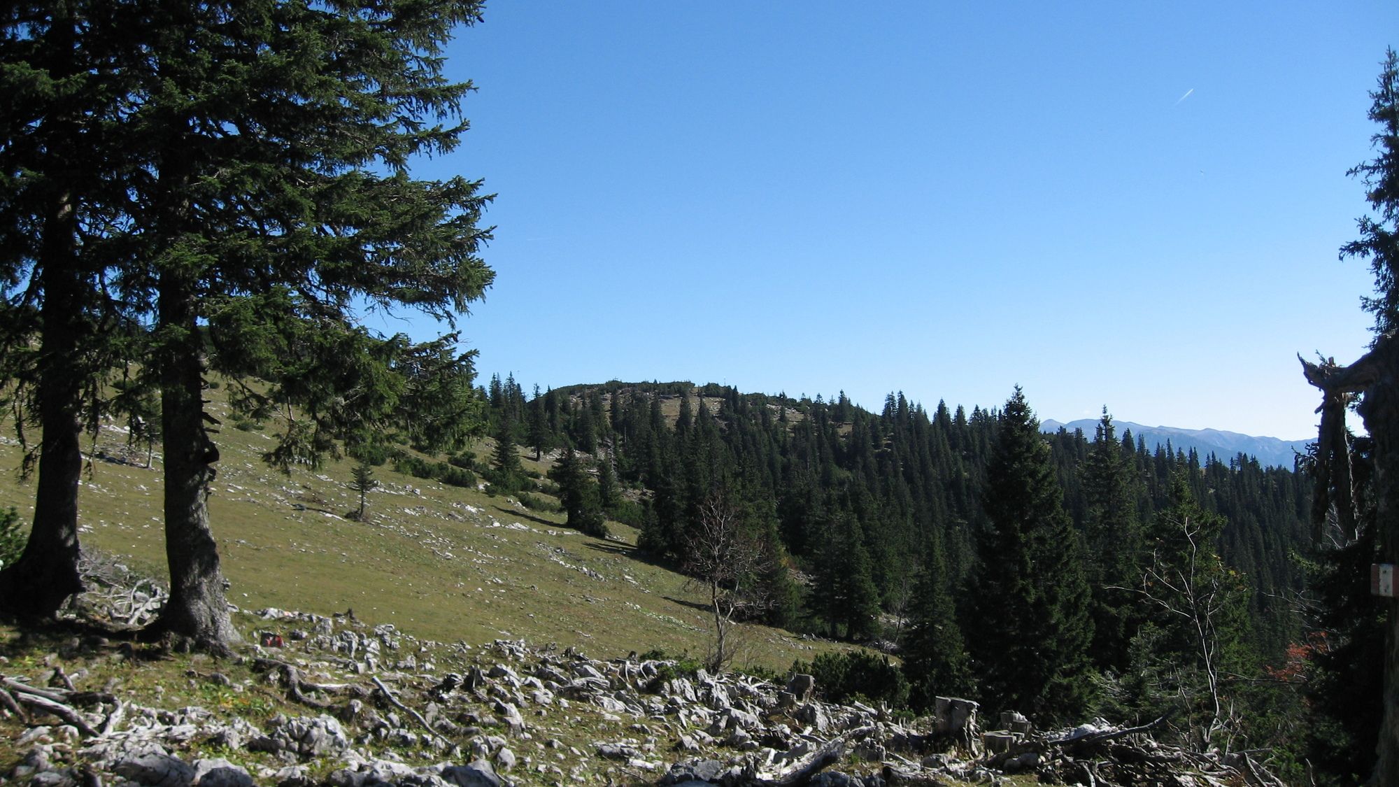
Latschenalm etc.
- Karttamateriaali
-
bergfex, amap, kompass, opentopomap


- Lähde
- Erich Helferstorfer
GPS Downloads


Polun olosuhteet
Asfaltti
(2%)
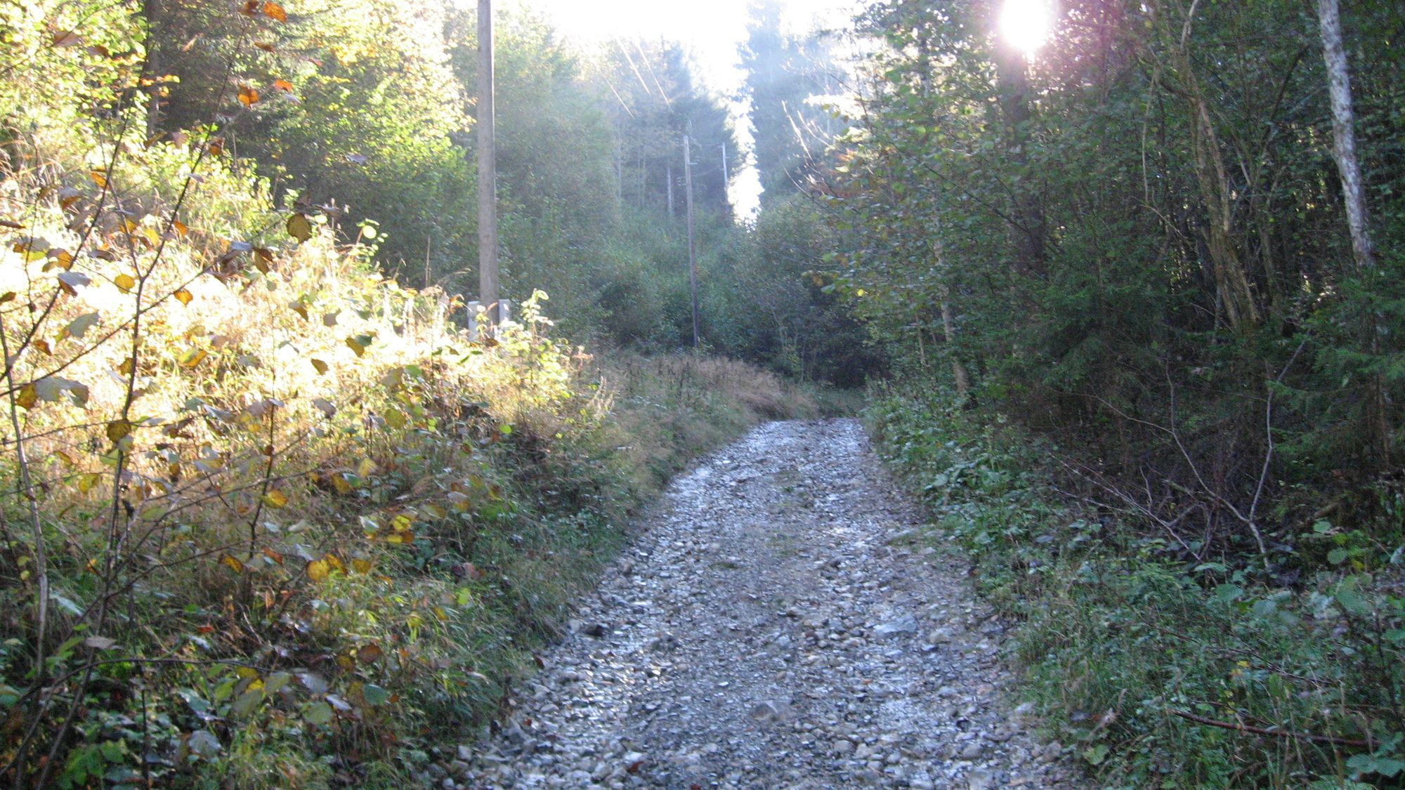
Sora
(40%)
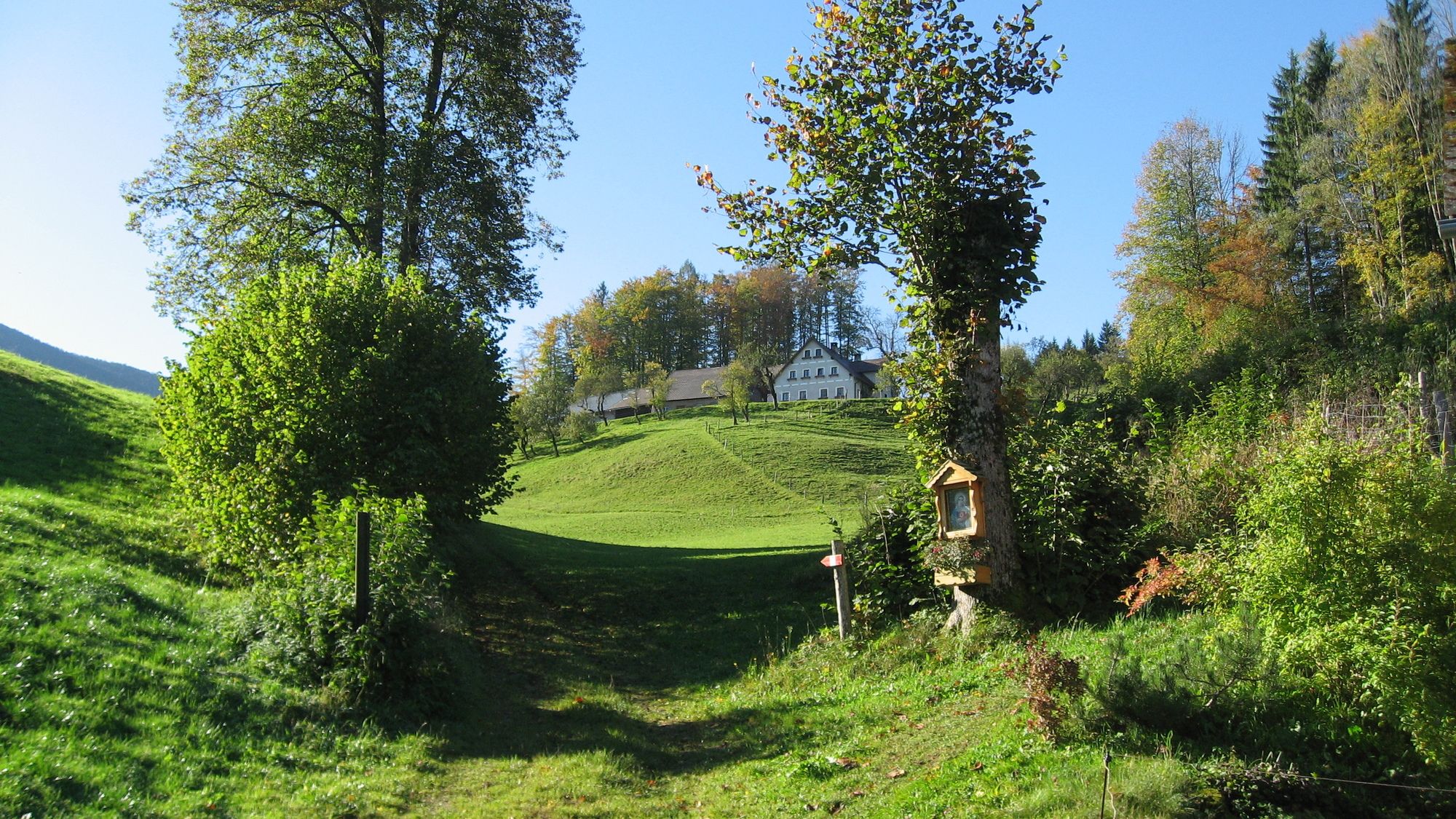
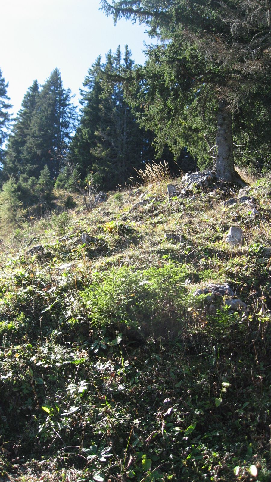
Niitty
(40%)
Metsä
(25%)
Kallio
Altistettu
Lisää retkiä alueilla
-
Erzberg Leoben
2529
-
Hochschwab
1273
-
Hochkar
223