Retkitiedot
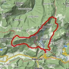
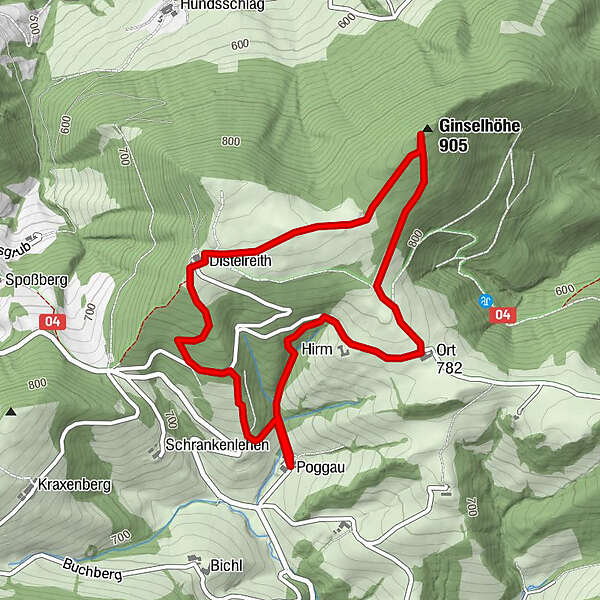
5km
665
- 886m
222hm
223hm
02:00h
- Lyhyt kuvaus
-
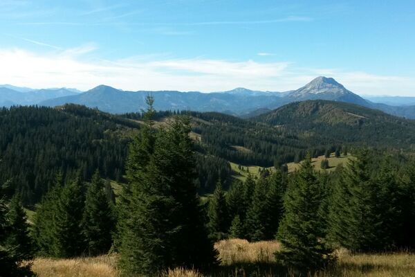
Eine nette Runde im Alpenvorland, mit Aussicht und Mostheurigen. Beschildert als Rundwanderweg Kartäusergrenze
- Vaikeus
-
helppo
- Arviointi
-
- Reitti
-
Ginselhöhe (905 m)2,4 km
- Paras kausi
-
tammihelmimaalishuhtitoukokesäheinäelosyyslokamarrasjoulu
- Korkein kohta
- Ginselhöhe (886 m)
- Lepo/Retriitti
-
Pockaubauer am Ausgangs- und Zielpunkt. Ist Mostheuriger mit begrenzten Öffnungstagen
GPS Downloads


Lisää retkiä alueilla
-
Mostviertel
2453
-
Eisenstraße Niederösterreich
918
-
Reinsberg
162