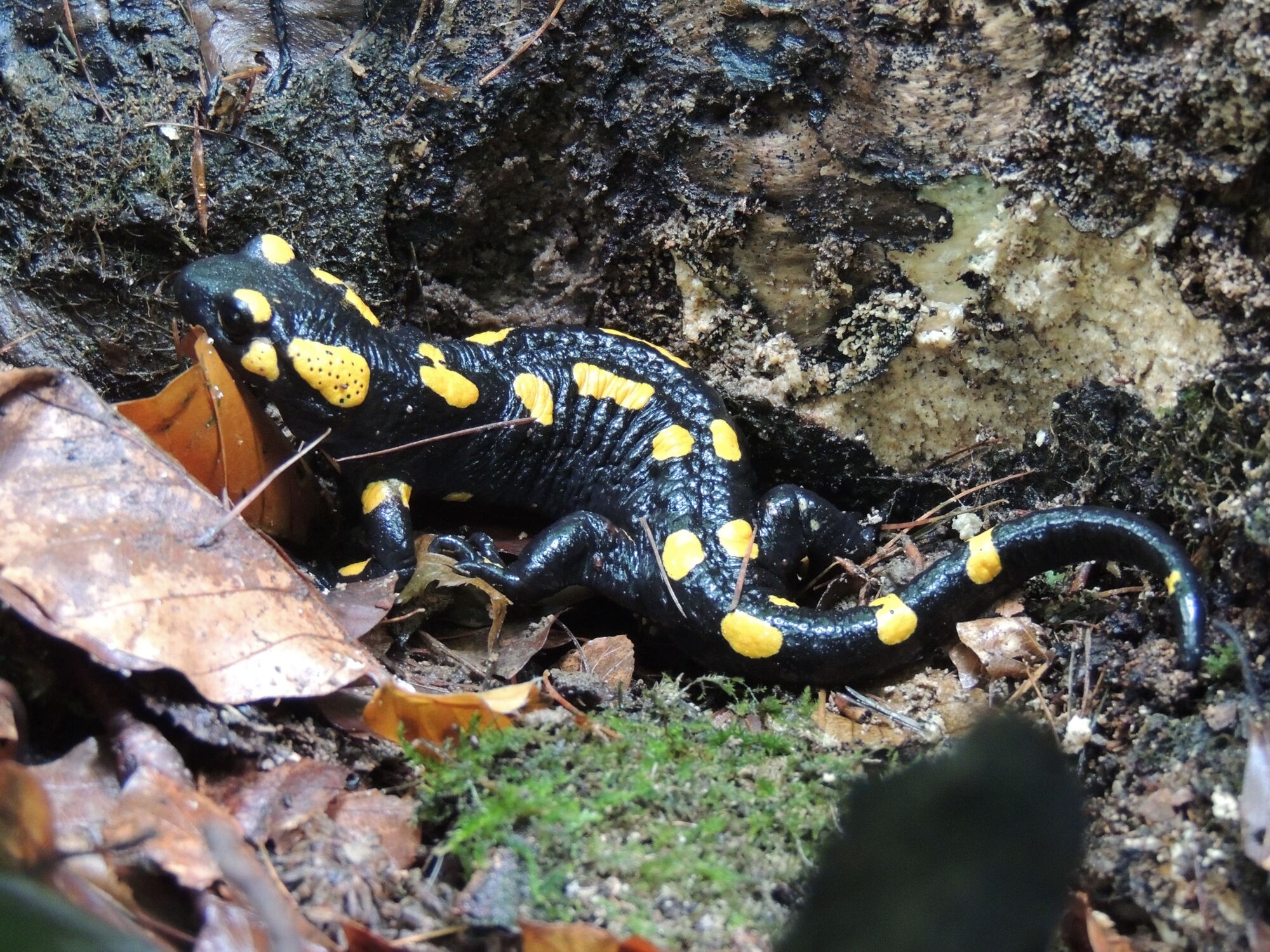
© Patricia Lechner

- Lyhyt kuvaus
-
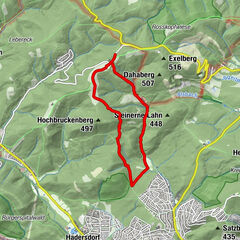
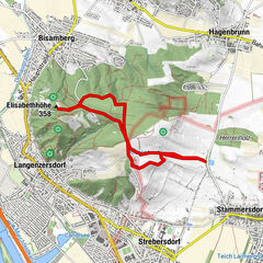
A classic hiking route! A relatively difficult half-day trail, which is very long for children. Sometimes it goes steeply uphill and downhill, especially as you head down the Hermannskogel. The Hermannskogel and the Leopoldsberg offer great views of Vienna.
- Vaikeus
-
vaikea
- Arviointi
-
- Reitti
-
Pfarrkirche St. Georg0,0 kmKahlenbergerdorf0,1 kmVienna (542 m)0,1 kmJosefinenhütte2,0 kmJosefsdorf2,6 kmSt. Josef2,6 kmHandleinsberg (495 m)5,0 kmKreuzeiche5,5 kmGasthaus zum Agnesbrünnl6,6 kmHermannskogel (544 m)7,6 kmVogelsangberg (516 m)9,0 kmHandleinsberg (495 m)9,5 kmGnadenkapelle9,9 kmHeimkehrer-Gedächtnismal12,7 kmLeopoldsberg (425 m)12,8 kmSt. Leopold12,9 kmKahlenbergerdorf14,1 km
- Paras kausi
-
tammihelmimaalishuhtitoukokesäheinäelosyyslokamarrasjoulu
- Korkein kohta
- 539 m
- Kohde
-
Bus stop Wien Kahlenbergerdorf
- Korkeusprofiili
-

- Kirjoittaja
-
Kiertue Kahlenberg – Hermannskogel Circular Hike käyttää outdooractive.com toimitettu.
GPS Downloads


Yleistä tietoa
Virvokepysäkki
Lupaava
Lisää retkiä alueilla
-
Wienerwald
4219
-
Wien und Umgebung
2481
-
Klosterneuburg
1039