
Retkitiedot
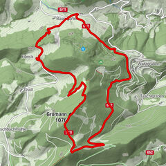
7,07km
383
- 609m
231hm
239hm
01:34h
- Lyhyt kuvaus
-
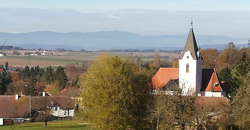
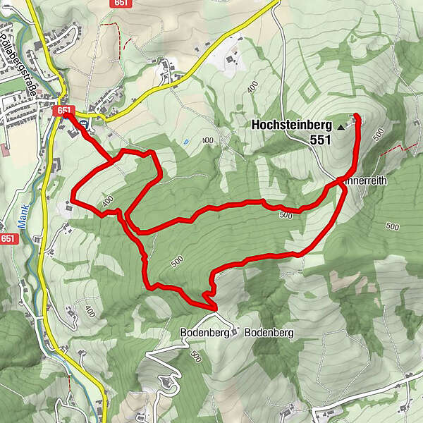
Ausgangspunkt Hauptplatz Kirnberg an der Mank -
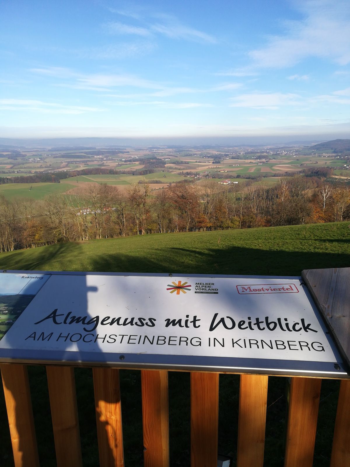
Schöner gemütlicher Rundweg auf den Hochsteinberg - Vaikeus
-
helppo
- Arviointi
-
- Lähtöpiste
-
3241 Kirnberg an der Mank, Hauptplatz
- Reitti
-
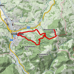
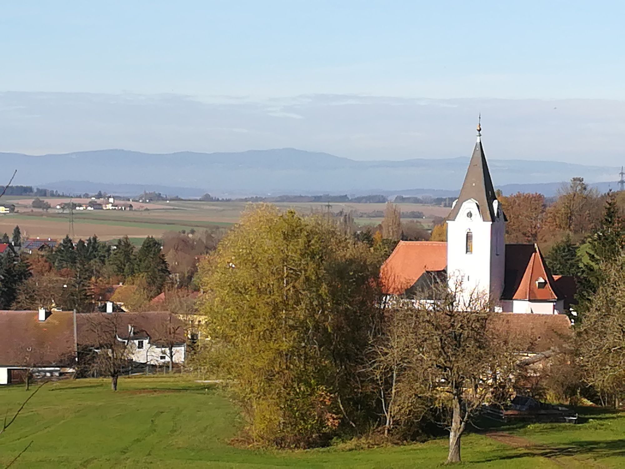
Kirnberg an der Mank0,0 kmPfarrkirche Kirnberg0,1 kmHochsteinberg (551 m)3,9 kmPfarrkirche Kirnberg6,9 kmKirnberg an der Mank7,0 km
- Paras kausi
-
tammihelmimaalishuhtitoukokesäheinäelosyyslokamarrasjoulu
- Korkein kohta
- 609 m
- Kohde
-
w.o.
- Lepo/Retriitti
-
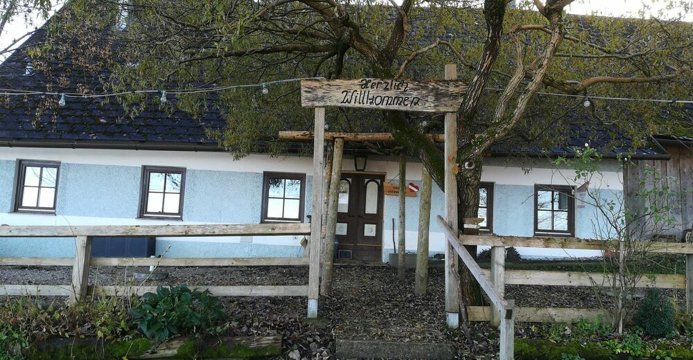
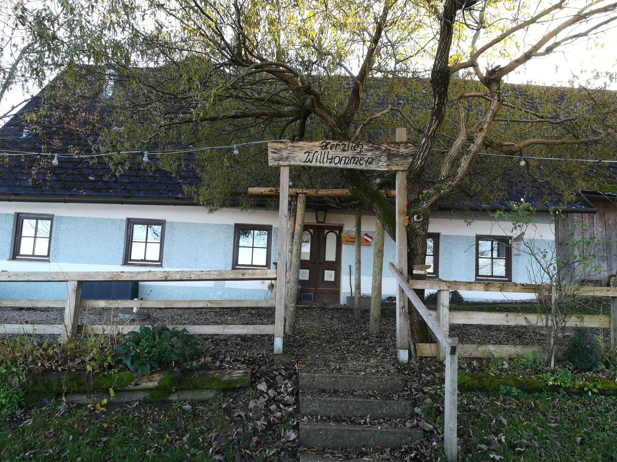
Gasthäuser Kirnberg und Almhaus Hochsteinberg, Innerreith 2, 3141 Kirnberg an der Mank Tel. 02755 8769
- Lähde
- Gertrude Wohlfahrt und Veronika Scheibelhofer
GPS Downloads


Polun olosuhteet
Asfaltti
Sora
Niitty
Metsä
Kallio
Altistettu
Lisää retkiä alueilla
-
Mostviertel
2454
-
Pielachtal
1115
-
Kirnberg an der Mank
194