Retkitiedot
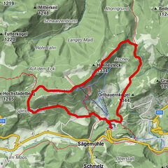
15,5km
843
- 1.868m
1.094hm
1.107hm
06:00h
- Lyhyt kuvaus
-
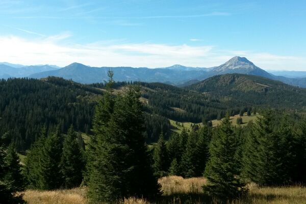
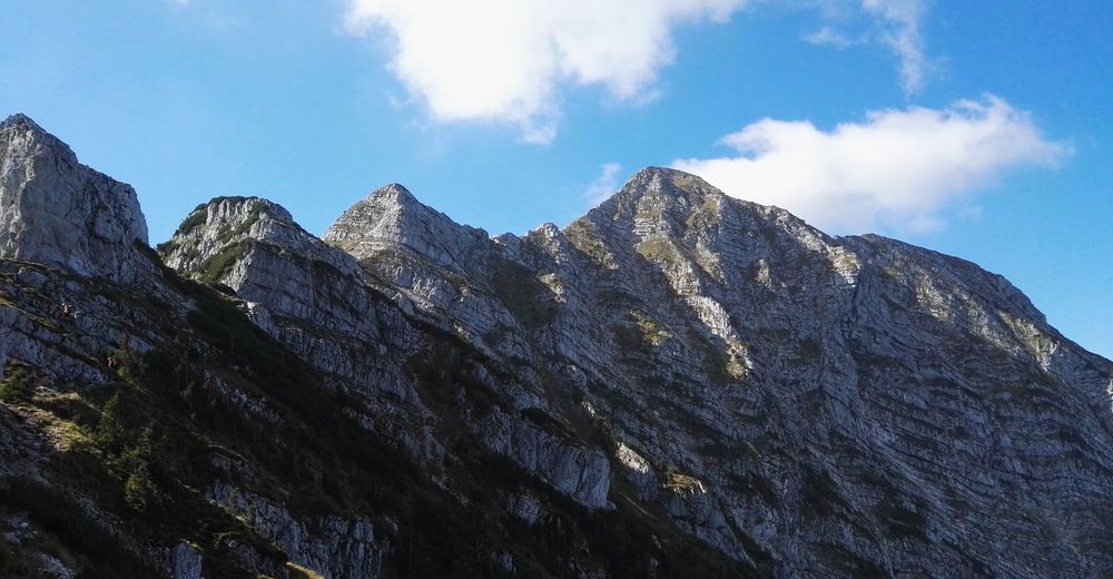
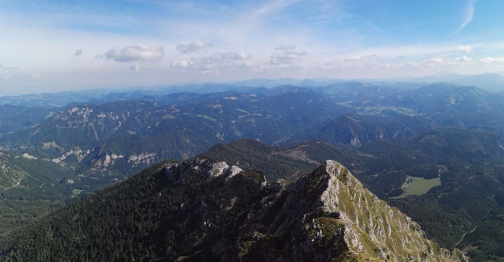
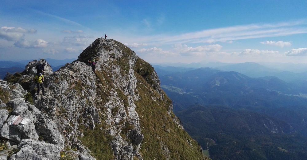
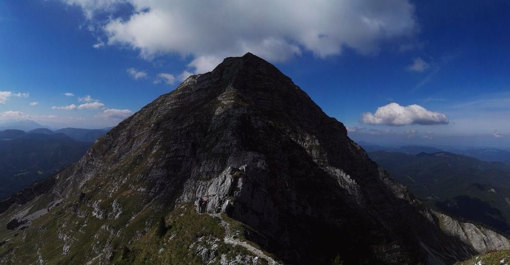
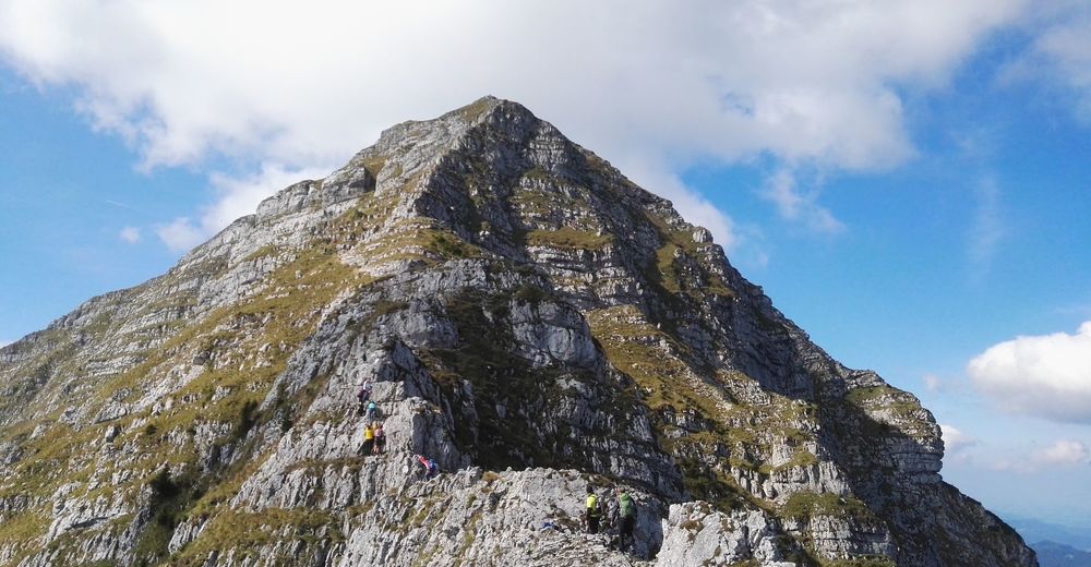
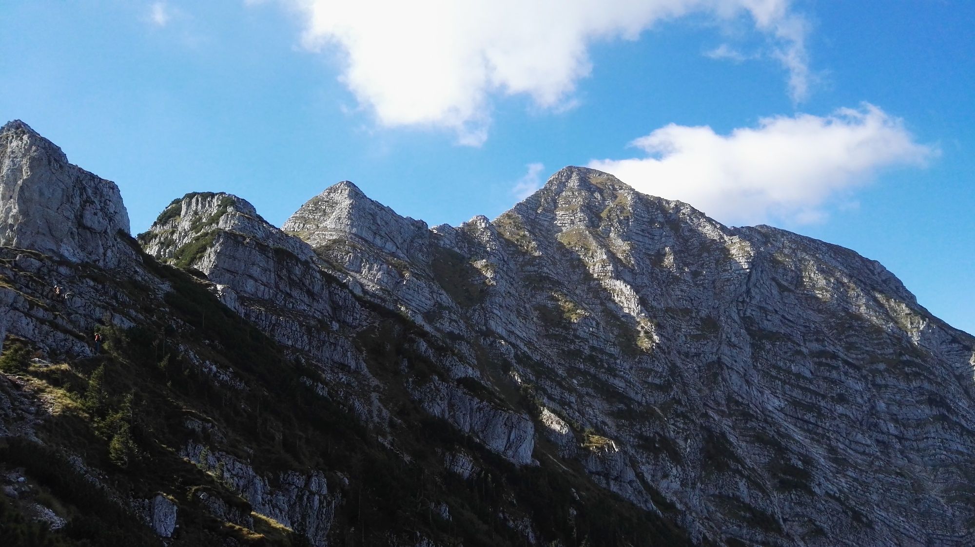
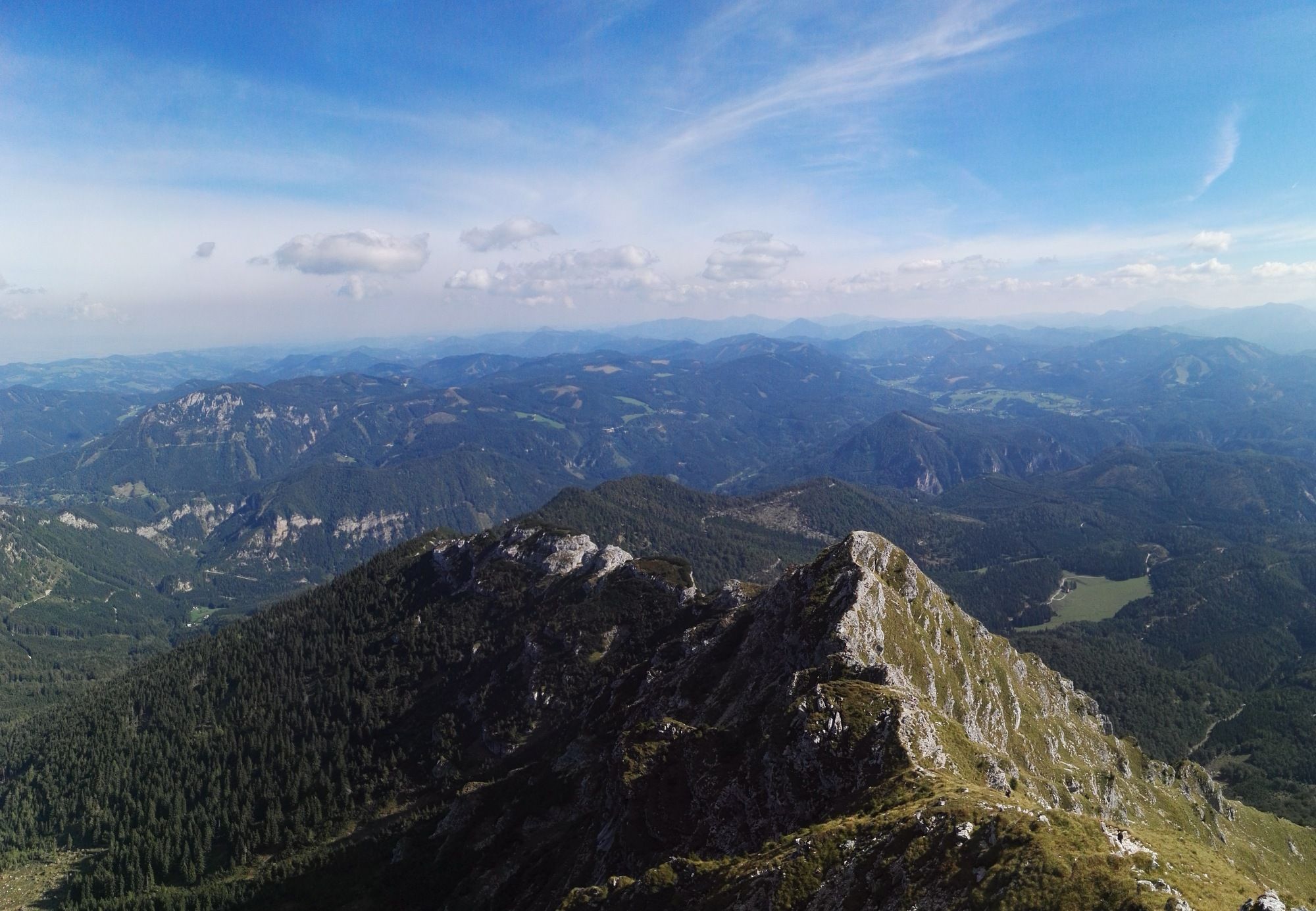
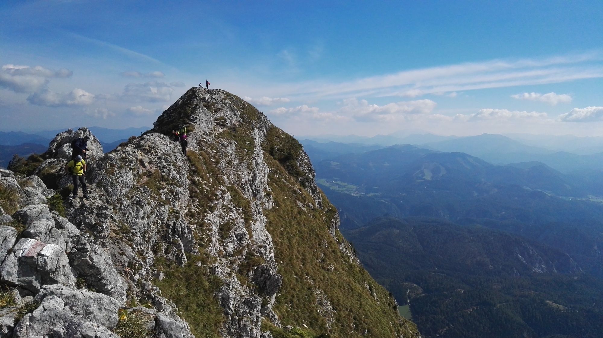
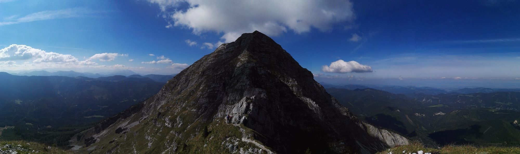
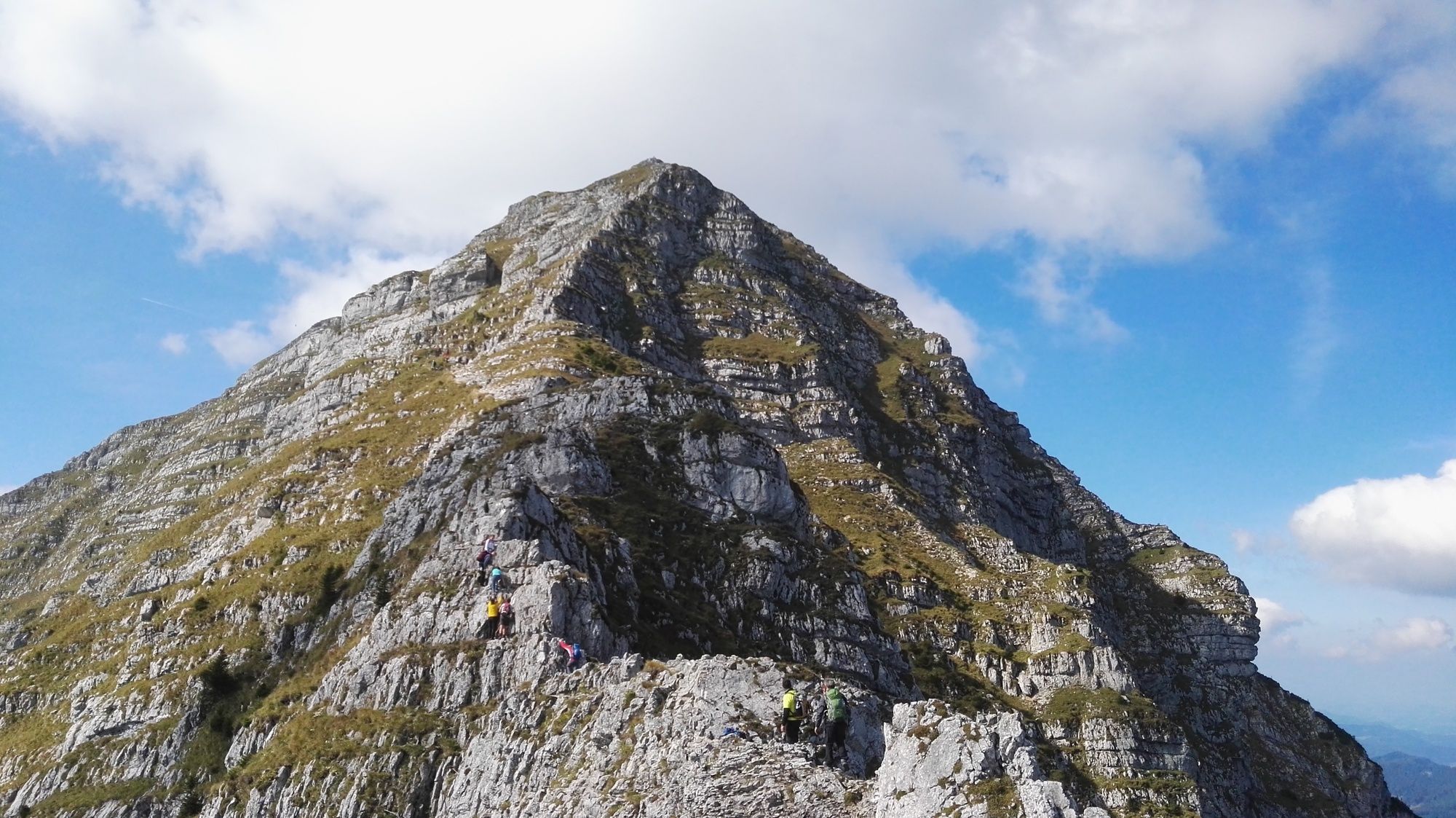
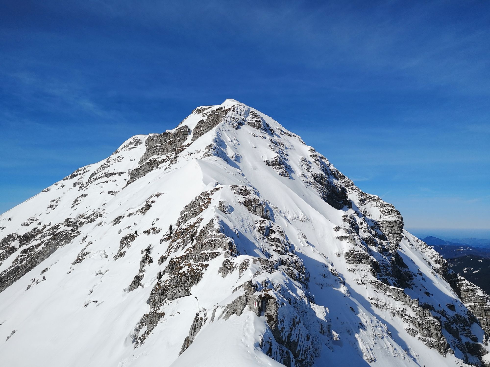
Great round trip on the famous Ötscher
- Vaikeus
-
vaikea
- Arviointi
-
- Lähtöpiste
-
Car parking at the valley station "Großer Ötscherlift"
- Reitti
-
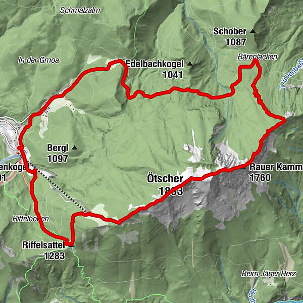
Weitental0,2 kmGasthof Digruber0,9 kmRaneck2,5 kmBärenlacken6,2 kmVersturzgangl7,1 kmFliegengangl8,6 kmOstbandhöhle8,7 kmFlachgangl8,7 kmBiwakhalbhöhle8,7 kmGamsgangl8,7 kmSisyphusloch9,0 kmRauher-Kamm-Mäander9,1 kmBlechdosenkluft9,2 kmGemsenhorst9,3 kmEinstiegsloch9,4 kmWetterloch IV9,6 kmHerrenstand (1.890 m)9,8 kmWetterloch III10,2 kmÖtscher (1.893 m)10,2 kmWetterloch II10,3 kmWetterloch I11,3 kmÖtscherschutzhaus12,4 kmRiffelsattel (1.283 m)13,1 kmFuchswaldhütte15,3 kmWeitental15,4 km
- Paras kausi
-
tammihelmimaalishuhtitoukokesäheinäelosyyslokamarrasjoulu
- Korkein kohta
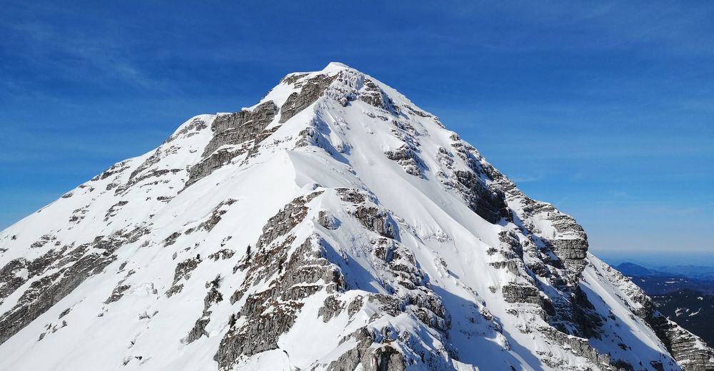
- Ötscher (1.868 m)
- Kohde
-
Car parking at the valley station "Großer Ötscherlift"
- Lepo/Retriitti
-
Ötscherschutzhaus (Caution! Very late in the tour, therefore take your own food and drinks with you!)
- Karttamateriaali
-
BEV-map NL 33-02-04 Ost, Ötscher; scale: 1:25000
GPS Downloads


Polun olosuhteet
Asfaltti
Sora
Niitty
Metsä
Kallio
Altistettu
Lisää retkiä alueilla
-
Mostviertel
2453
-
Mariazellerland
1504
-
Naturpark Ötscher-Tormäuer bei Gaming
449