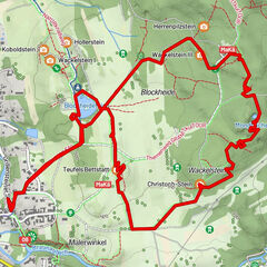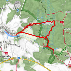


Retkitiedot
10,67km
476
- 570m
154hm
161hm
02:32h

- Lyhyt kuvaus
-
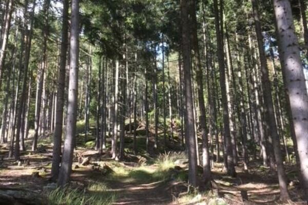
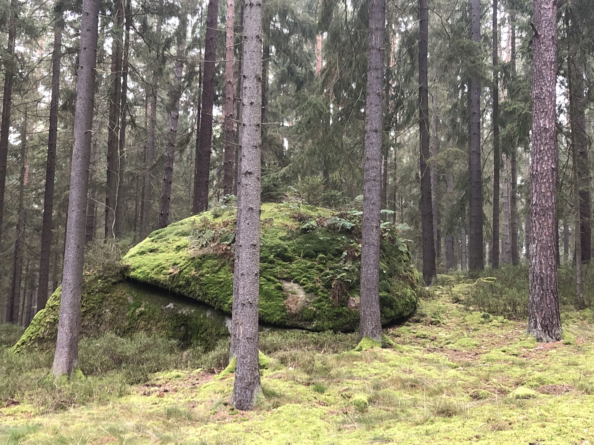
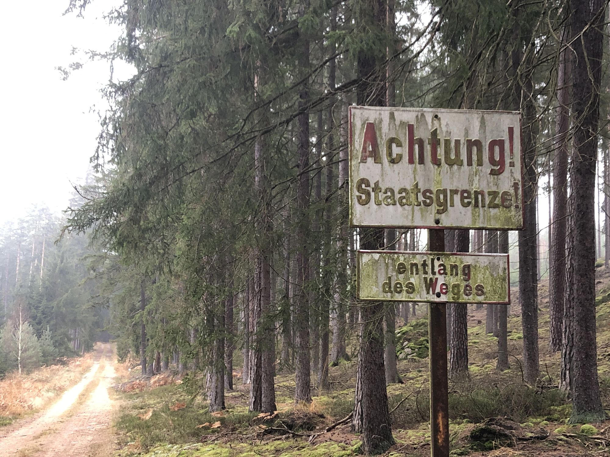
Ein Rundwanderweg über Forstwege überwiegend im Wald
- Vaikeus
-
helppo
- Arviointi
-
- Lähtöpiste
-
Neu-Nagelberg oder Alt-Nagelberg
- Reitti
-
Neu-Nagelberg0,0 kmAlt-Nagelberg (508 m)7,4 kmNeu-Nagelberg10,6 km
- Korkein kohta
- 570 m


- Lähde
- TiWaLi
GPS Downloads


Polun olosuhteet
Asfaltti
(10)
Sora
(90)
Niitty
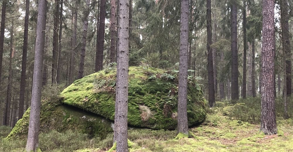
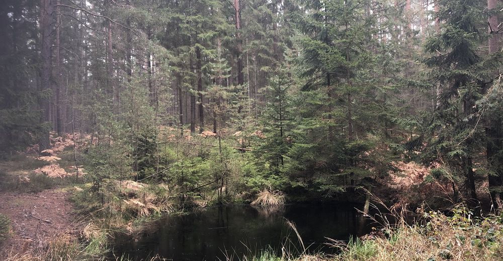
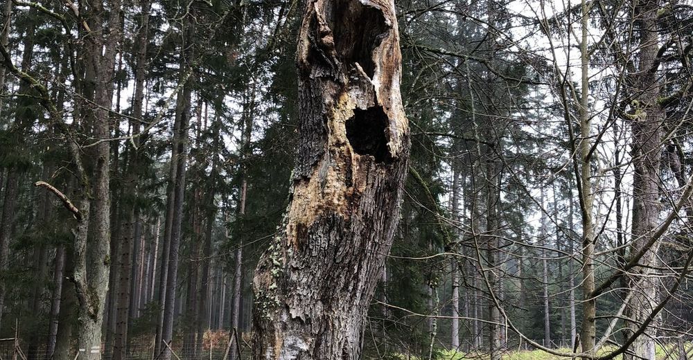
Metsä
(90)
Kallio
Altistettu
Lisää retkiä alueilla
-
Waldviertel
1776
-
Oberes Waldviertel
614
-
Brand - Nagelberg
104