© Unbekannt


© Unbekannt
Retkitiedot
37,56km
502
- 605m
364hm
366hm
02:47h
- Lyhyt kuvaus
-
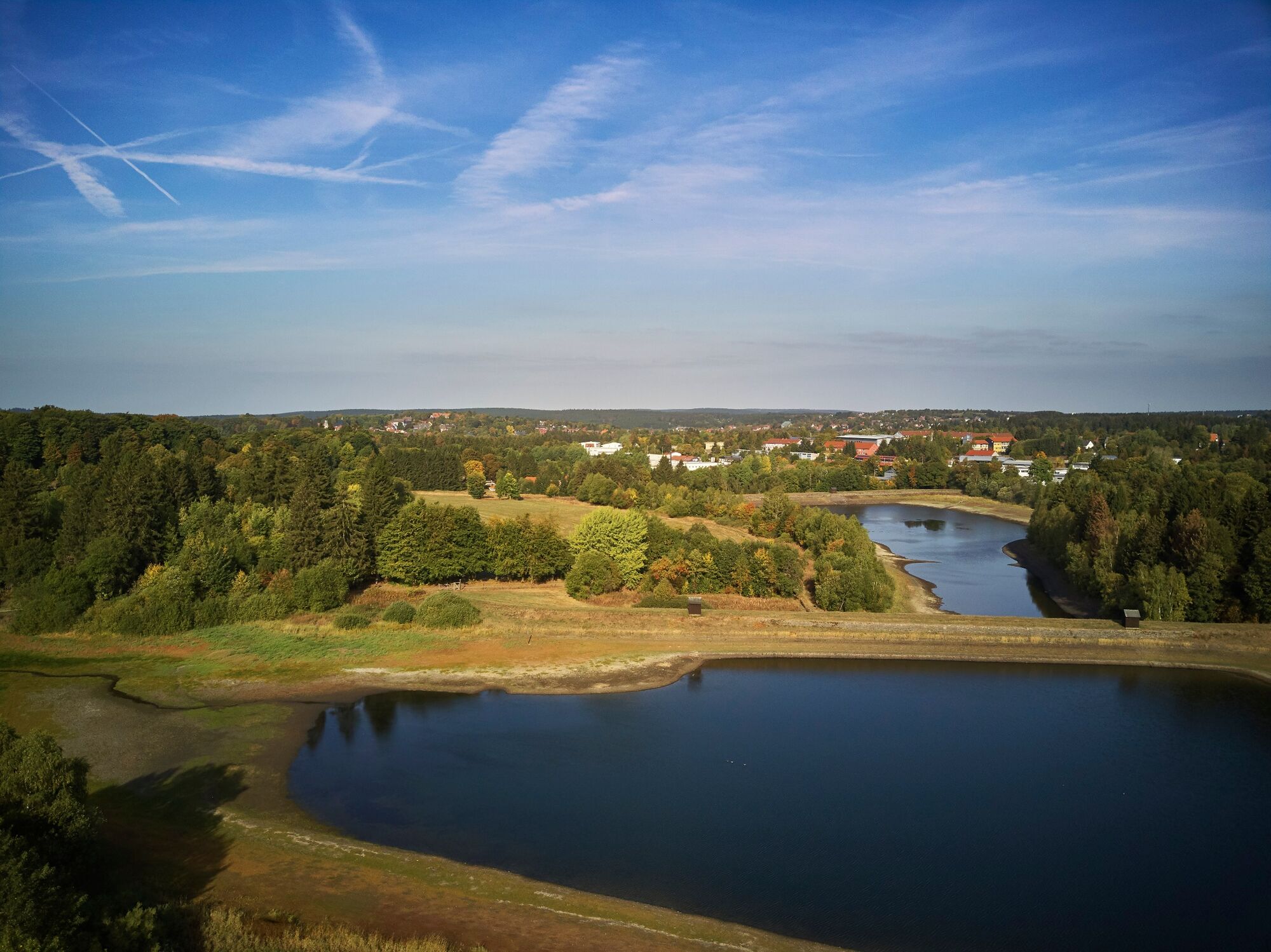
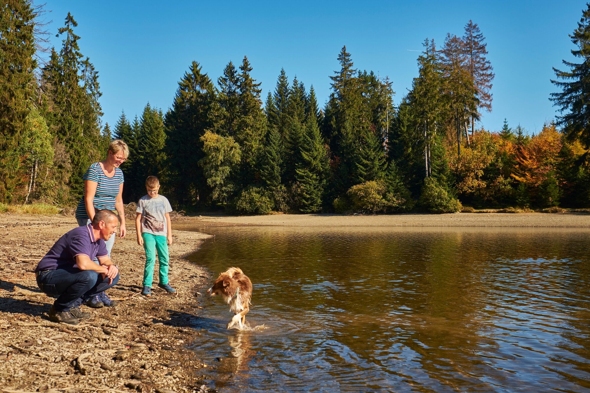
By E-bike or mountain bike through the landscape of ponds around Clausthal-Zellerfeld.
- Vaikeus
-
tapa
- Arviointi
-
- Reitti
-
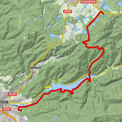
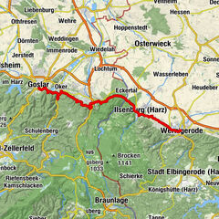
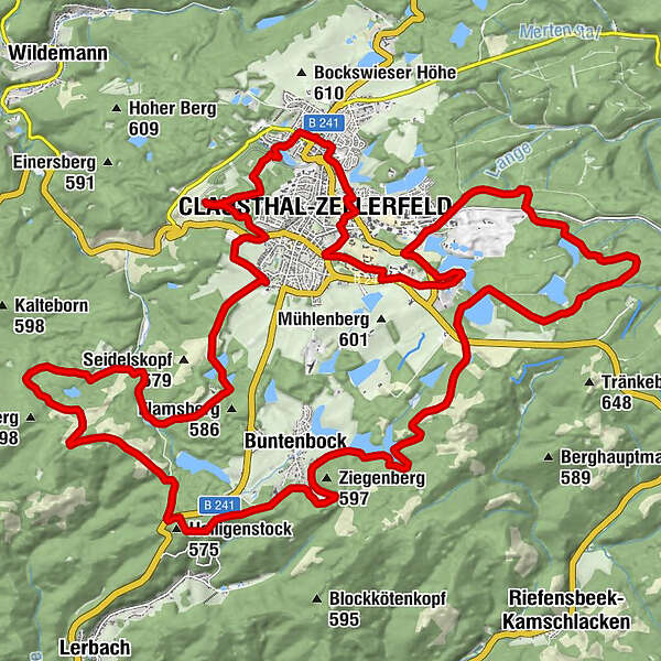
HirtenbrunnenSt. Salvatoris0,0 kmZellerfeld (559 m)0,1 kmClausthal-Zellerfeld (565 m)1,9 kmBuntenbock18,4 kmHeiligenstock (575 m)21,9 kmClausthal-Zellerfeld (565 m)33,7 kmBremer-Höhe (590 m)35,5 kmKindergarten Marktstraße37,2 kmHirtenbrunnen37,4 kmZellerfeld (559 m)37,5 km
- Paras kausi
-
tammihelmimaalishuhtitoukokesäheinäelosyyslokamarrasjoulu
- Korkein kohta
- 605 m
- Kohde
-
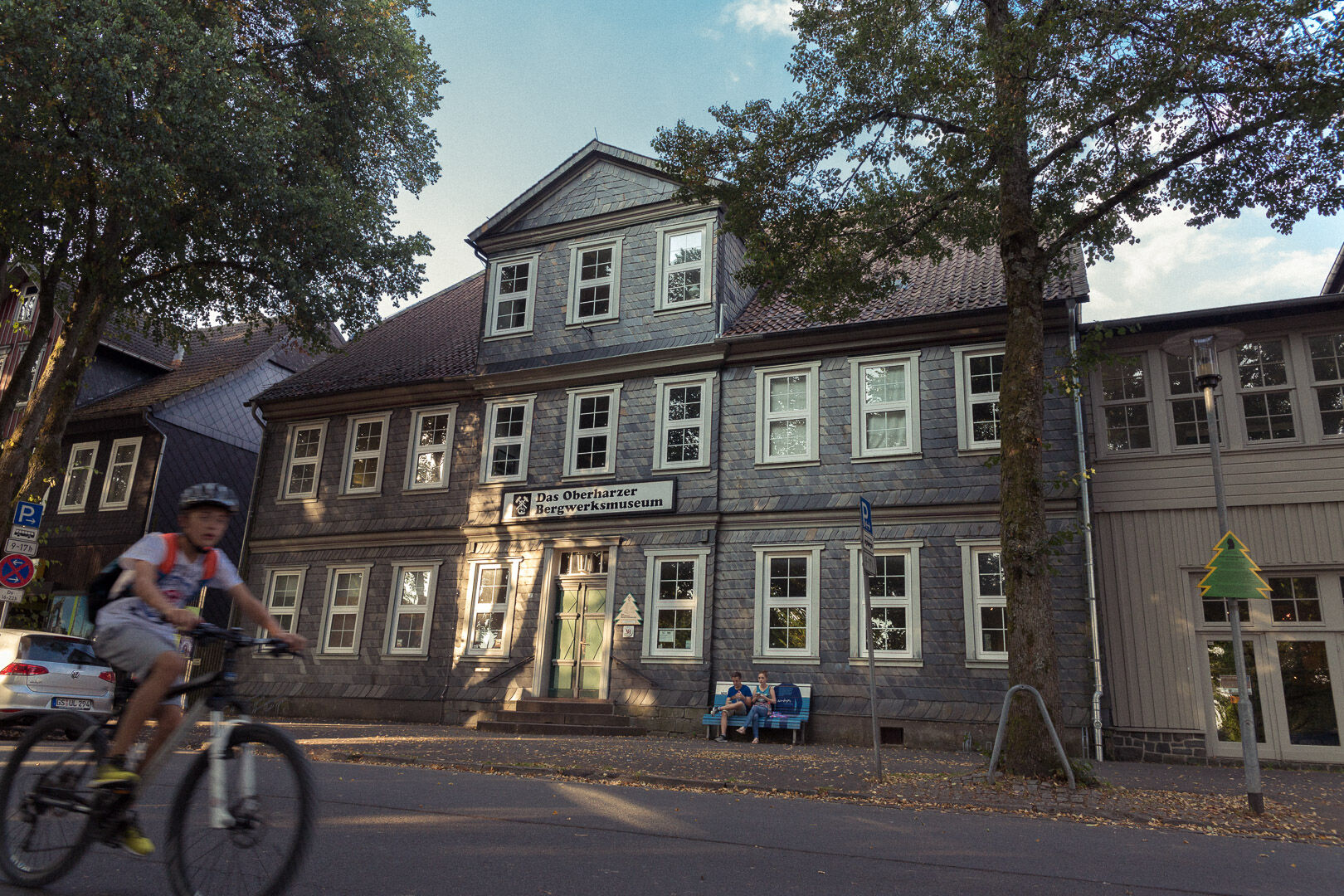
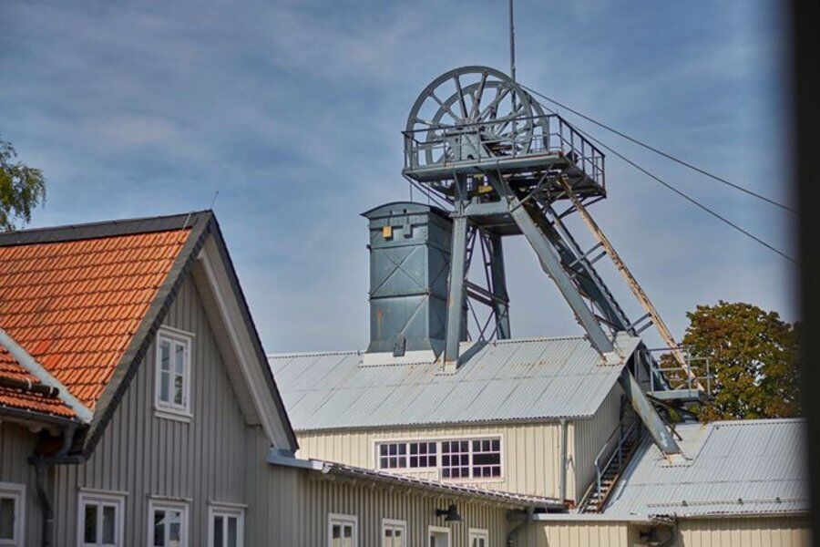
Kaiser Wilhelm II Shaft, parking lot, Erzstraße 24 in 38678 Clausthal-Zellerfeld
- Korkeusprofiili
-
 © outdooractive.com
-

-
KirjoittajaKiertue World Heritage Cycling Tour: Energy Storage for Mining käyttää outdooractive.com toimitettu.
GPS Downloads


Yleistä tietoa
Virvokepysäkki
Kulttuuri/Historiallinen
Flora
Lupaava
Lisää retkiä alueilla