© Unbekannt - Karl-Herrmann Rotte

© Harz: Magische Gebirgswelt - Karl-Hermann Rotte
- Lyhyt kuvaus
-
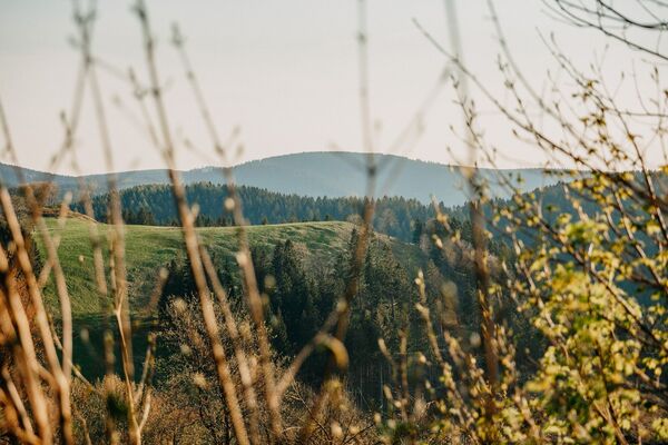
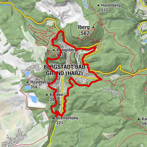
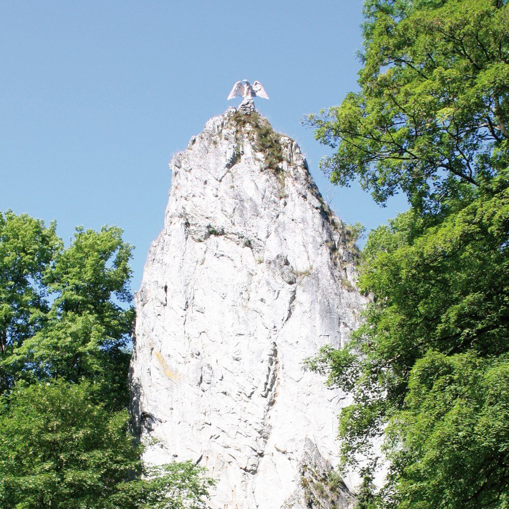
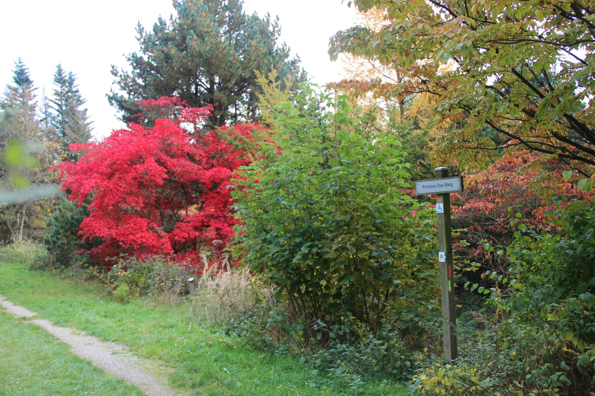
Horizontal path with a few gradients around Bad Grund with views of the Bad Grundner valleys, past the world forest Harz, Hübichenstein, Iberger stalactite cave and the world cultural heritage mine Knesebeck.
- Vaikeus
-
helppo
- Arviointi
-
- Reitti
-
Laubhütte6,1 kmBergstadt Bad Grund (Harz) (358 m)8,4 km
- Paras kausi
-
tammihelmimaalishuhtitoukokesäheinäelosyyslokamarrasjoulu
- Korkein kohta
- 422 m
- Kohde
-
Round trip
- Korkeusprofiili
-
 © outdooractive.com
-

-
KirjoittajaKiertue König-Hübich-Route around Bad Grund käyttää outdooractive.com toimitettu.
GPS Downloads


Yleistä tietoa
Virvokepysäkki
Kulttuuri/Historiallinen
Flora
Lupaava
Lisää retkiä alueilla
-
Der Harz/ Niedersachsen
1061
-
Oberharz
685
-
Bad Grund
162