© Harz: Magische Gebirgswelt - Harzwasserwerke


Retkitiedot
3,38km
566
- 594m
3hm
15hm
00:50h

- Lyhyt kuvaus
-
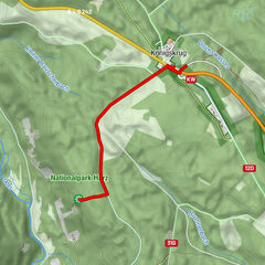
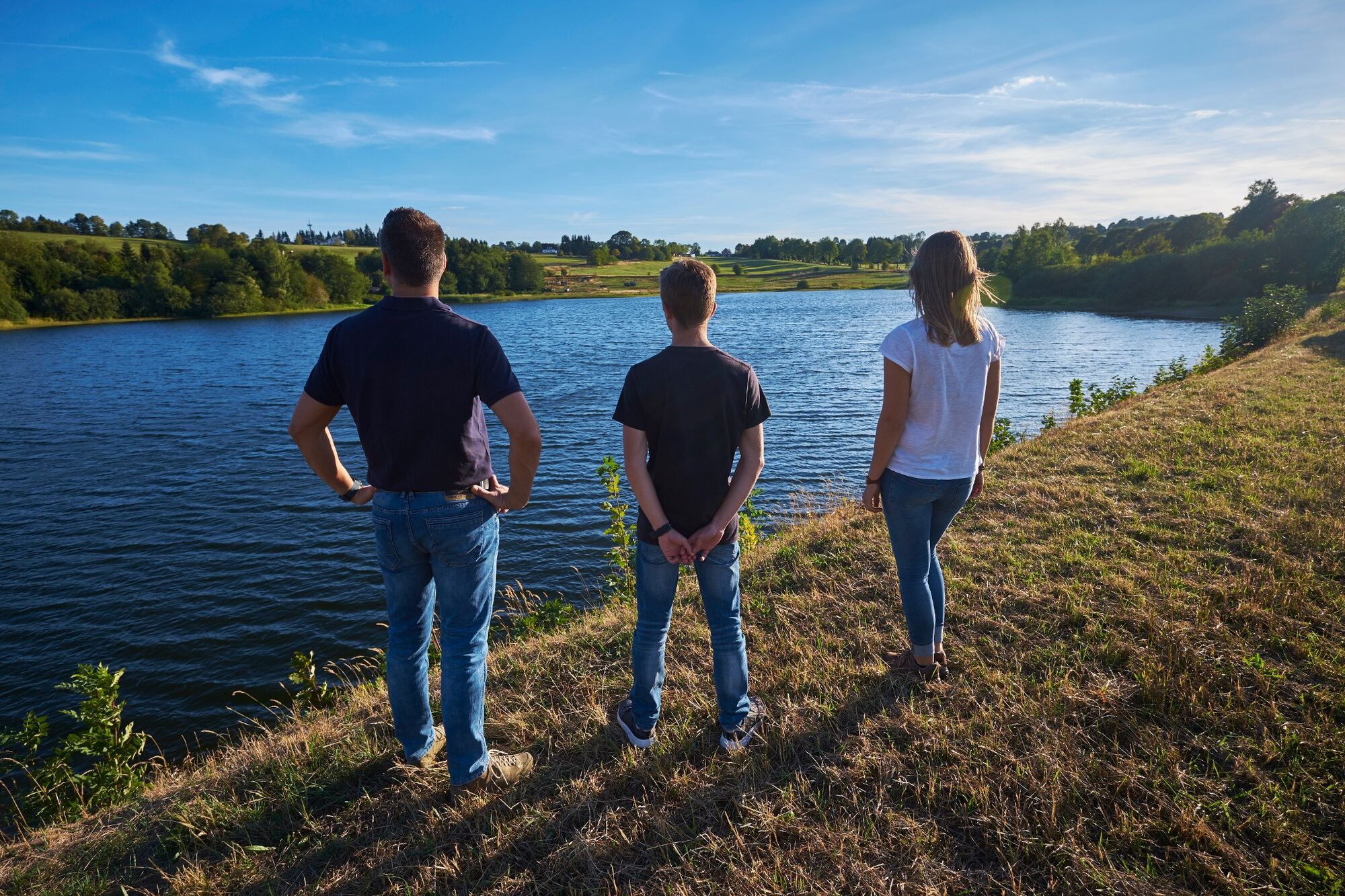
Hike from the Hirschler Teich pond around the Pfauenteich ponds. The ponds are located one above the other and were used as water storage ponds for mining in Clausthal.
- Vaikeus
-
helppo
- Arviointi
-
- Reitti
-
Clausthal-Zellerfeld (565 m)3,2 km
- Paras kausi
-
tammihelmimaalishuhtitoukokesäheinäelosyyslokamarrasjoulu
- Korkein kohta
- 594 m
- Kohde
-
Altenauer Straße in Clausthal-Zellerfeld
- Korkeusprofiili
-
 © outdooractive.com


-

-
KirjoittajaKiertue WatersideWalk Hischler-Pfauenteich Cascade of Ponds käyttää outdooractive.com toimitettu.
GPS Downloads


Yleistä tietoa
Kulttuuri/Historiallinen
Lisää retkiä alueilla
-
Der Harz/ Niedersachsen
1061
-
Oberharz
685
-
Clausthal-Zellerfeld
236