© Touristikverband Siegerland-Wittgenstein e.V. - Frank Rother
© Touristikverband Siegerland-Wittgenstein e.V. - Frank Rother

© Touristikverband Siegerland-Wittgenstein e.V. - Frank Rother
© Touristikverband Siegerland-Wittgenstein e.V. - Frank Rother


- Lyhyt kuvaus
-
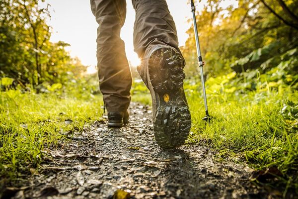
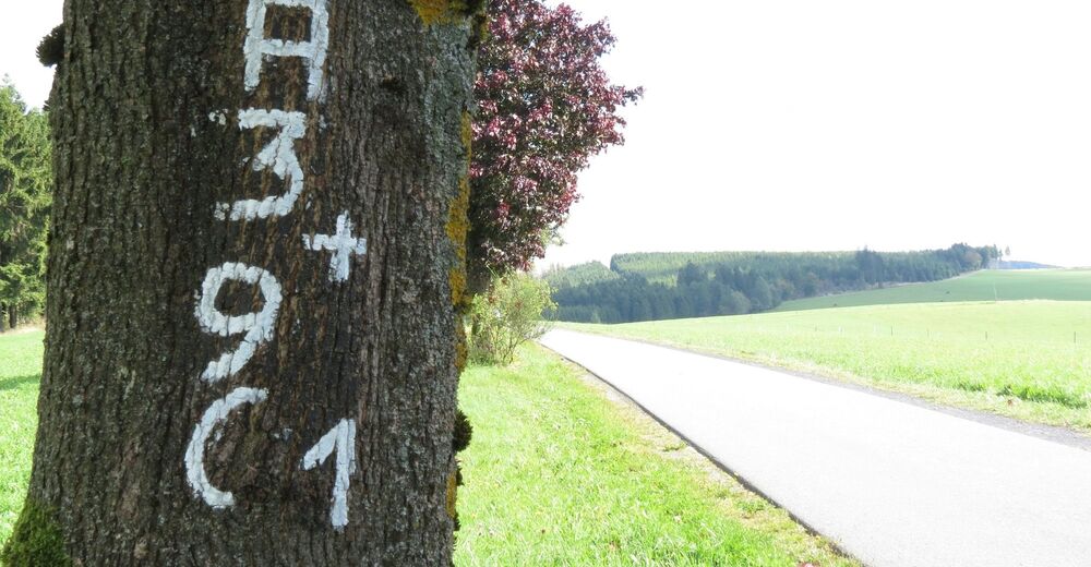
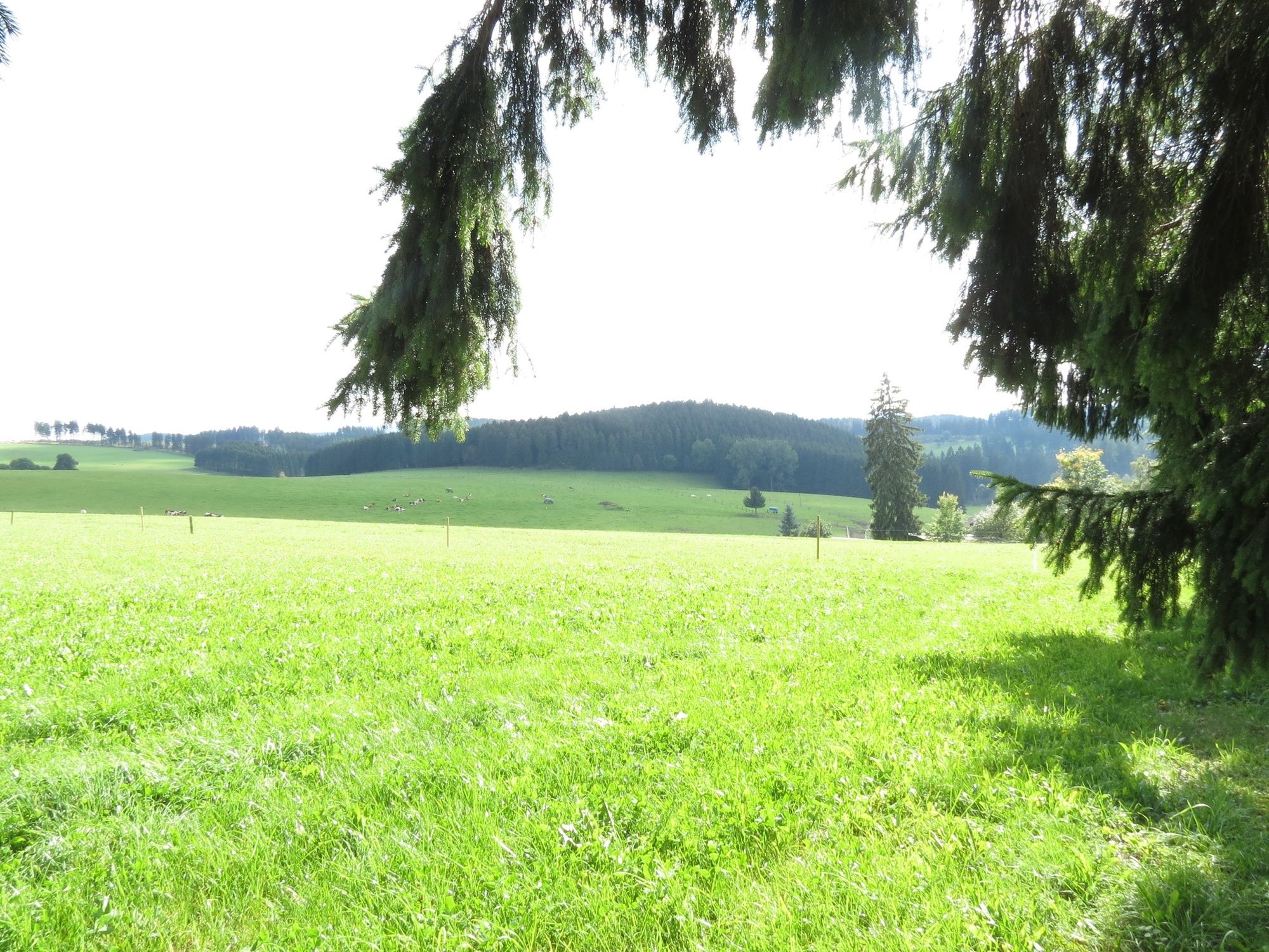
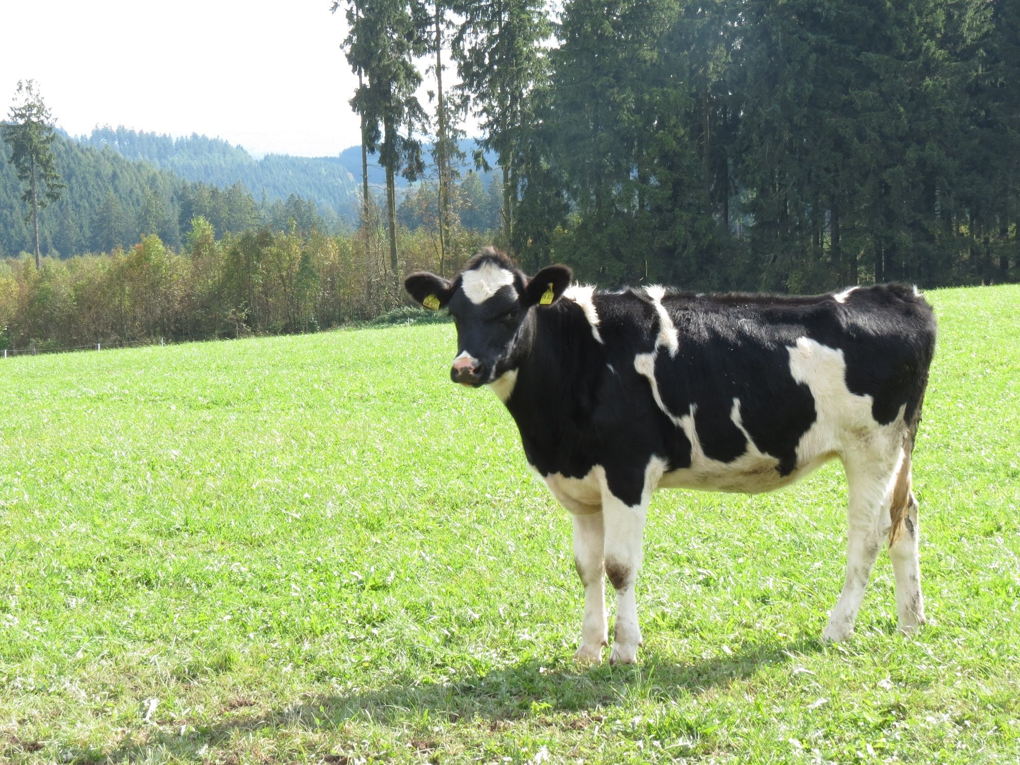
Rundwanderung durch die Wittgensteiner Schweiz
- Reitti
-
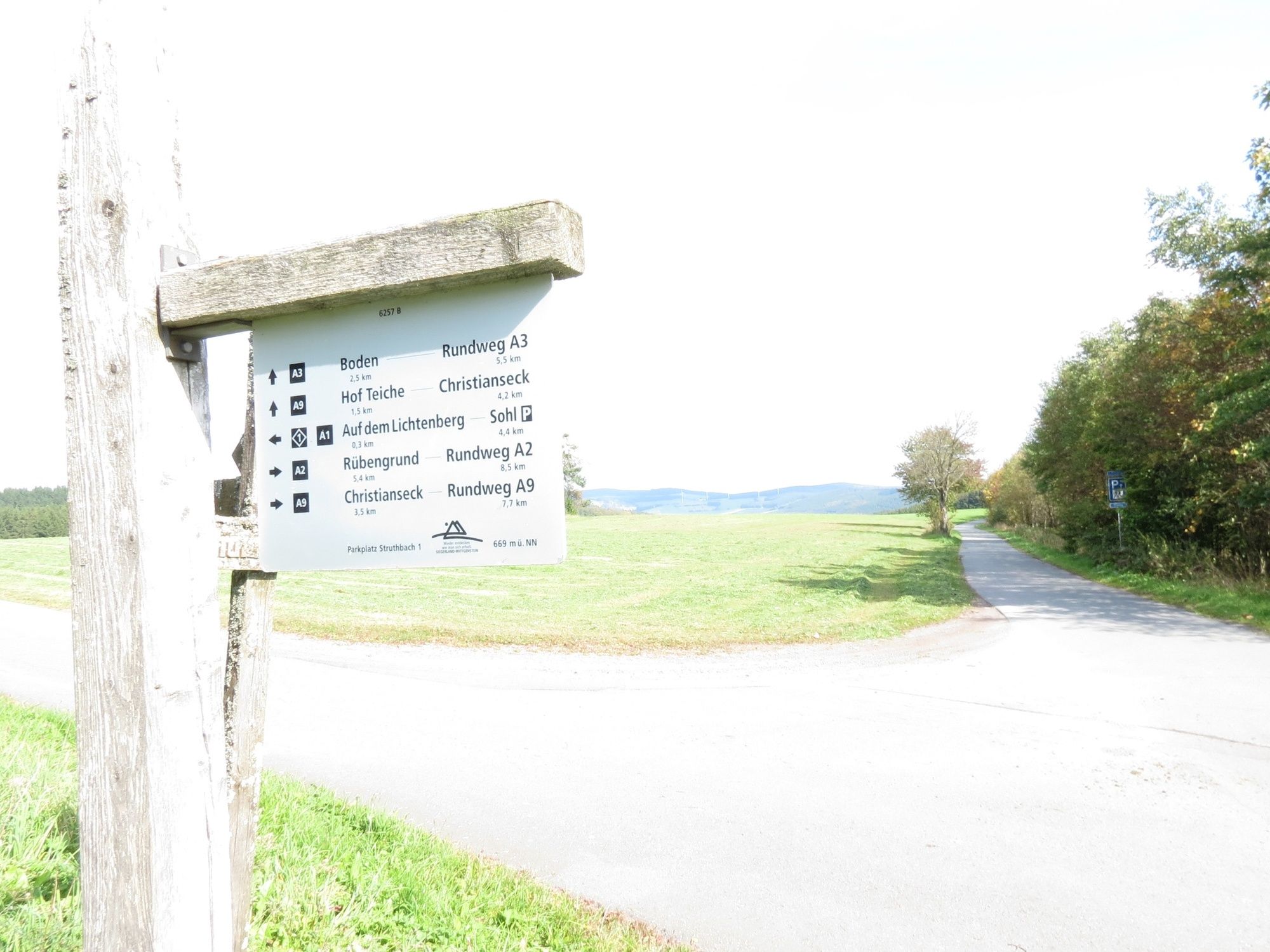
Boden (630 m)1,9 kmChristianseck4,1 kmLandgasthof Wittgensteiner Schweiz6,0 km
- Korkein kohta
- 668 m
- Kohde
-
Wanderparkplatz Struthbach
- Korkeusprofiili
-
 © outdooractive.com

-

-
KirjoittajaKiertue In der Wittgensteiner Schweiz käyttää outdooractive.com toimitettu.
GPS Downloads


Yleistä tietoa
Virvokepysäkki
Lupaava
Lisää retkiä alueilla
-
Westerwald / Hessen
711
-
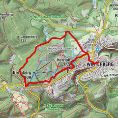
Winterberg
1146
-
Bad Berleburg
237