© Eifel Tourismus GmbH - Dominik Ketz

© StädteRegion Aachen - Dominik Ketz

© Eifel Tourismus GmbH - Dominik Ketz

© StädteRegion Aachen - Dominik Ketz

© Archiv Eifel Tourismus GmbH

© Eifel Tourismus GmbH - Dominik Ketz

© StädteRegion Aachen - Dominik Ketz

© StädteRegion Aachen - Dominik Ketz

© Outdooractive Redaktion - Kristine Greßhöner

© StädteRegion Aachen - Dominik Ketz

- Lyhyt kuvaus
-
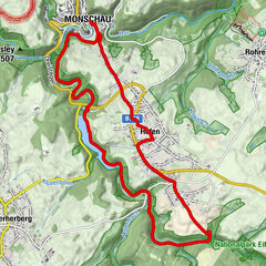
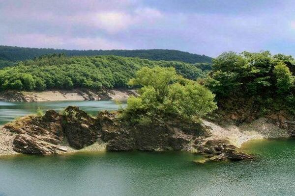
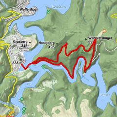
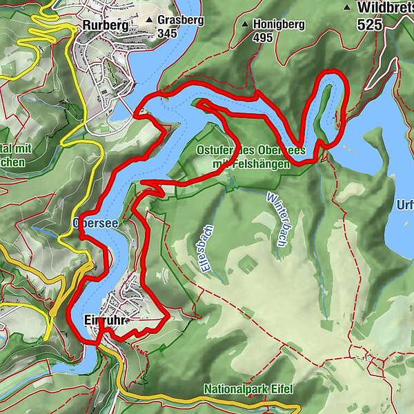
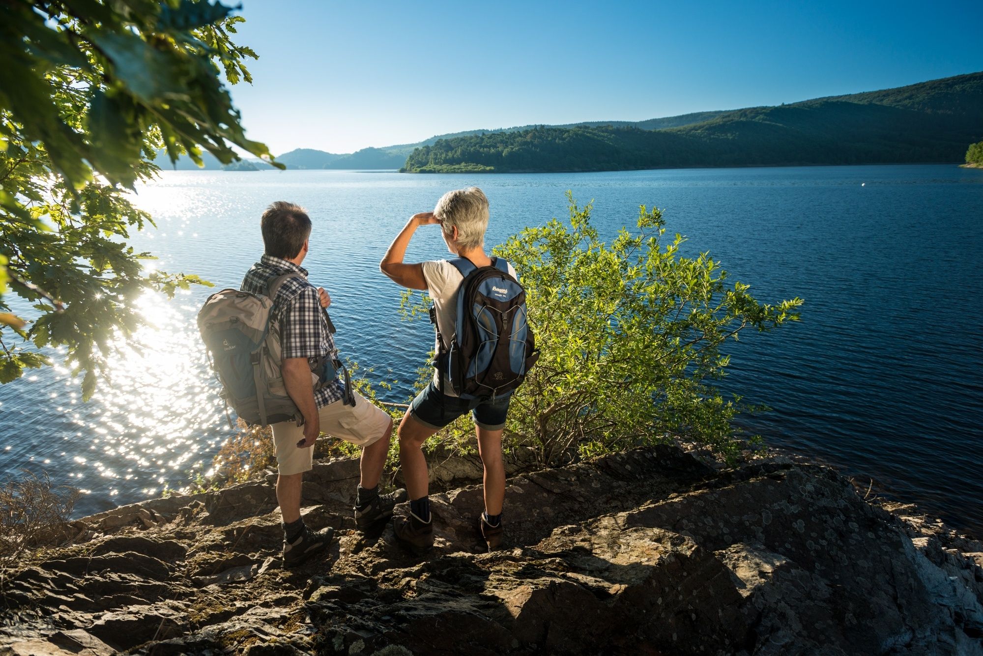
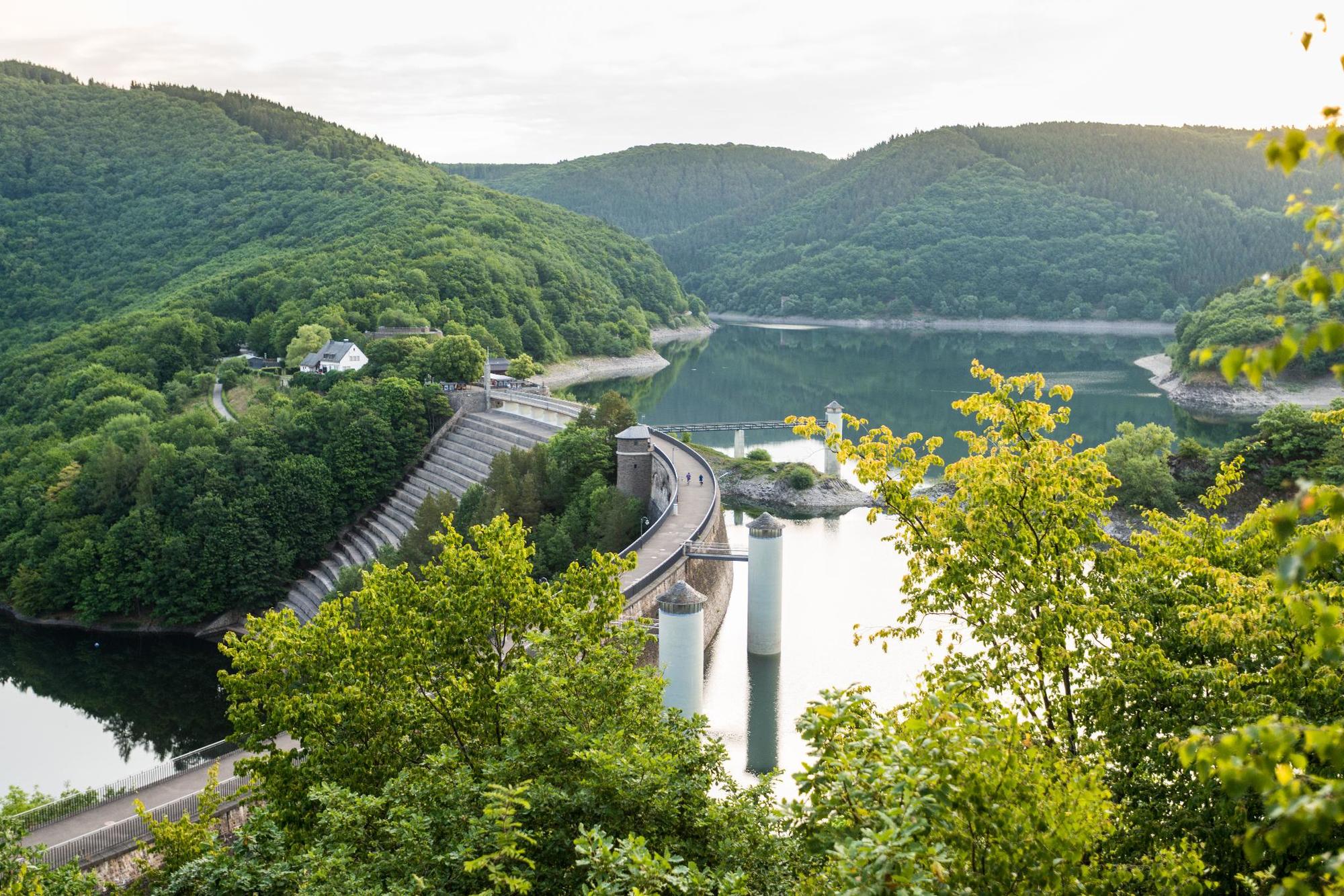
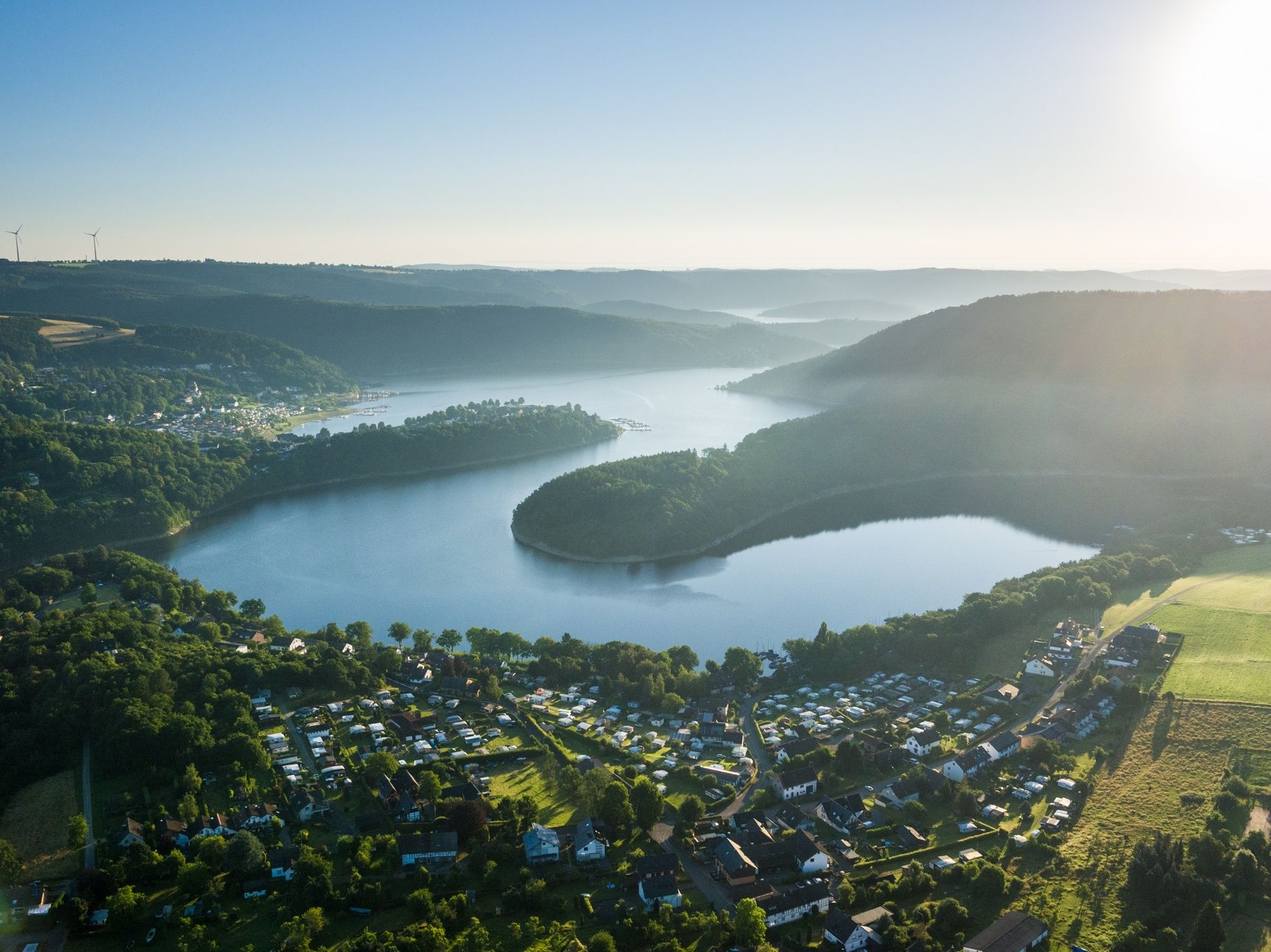
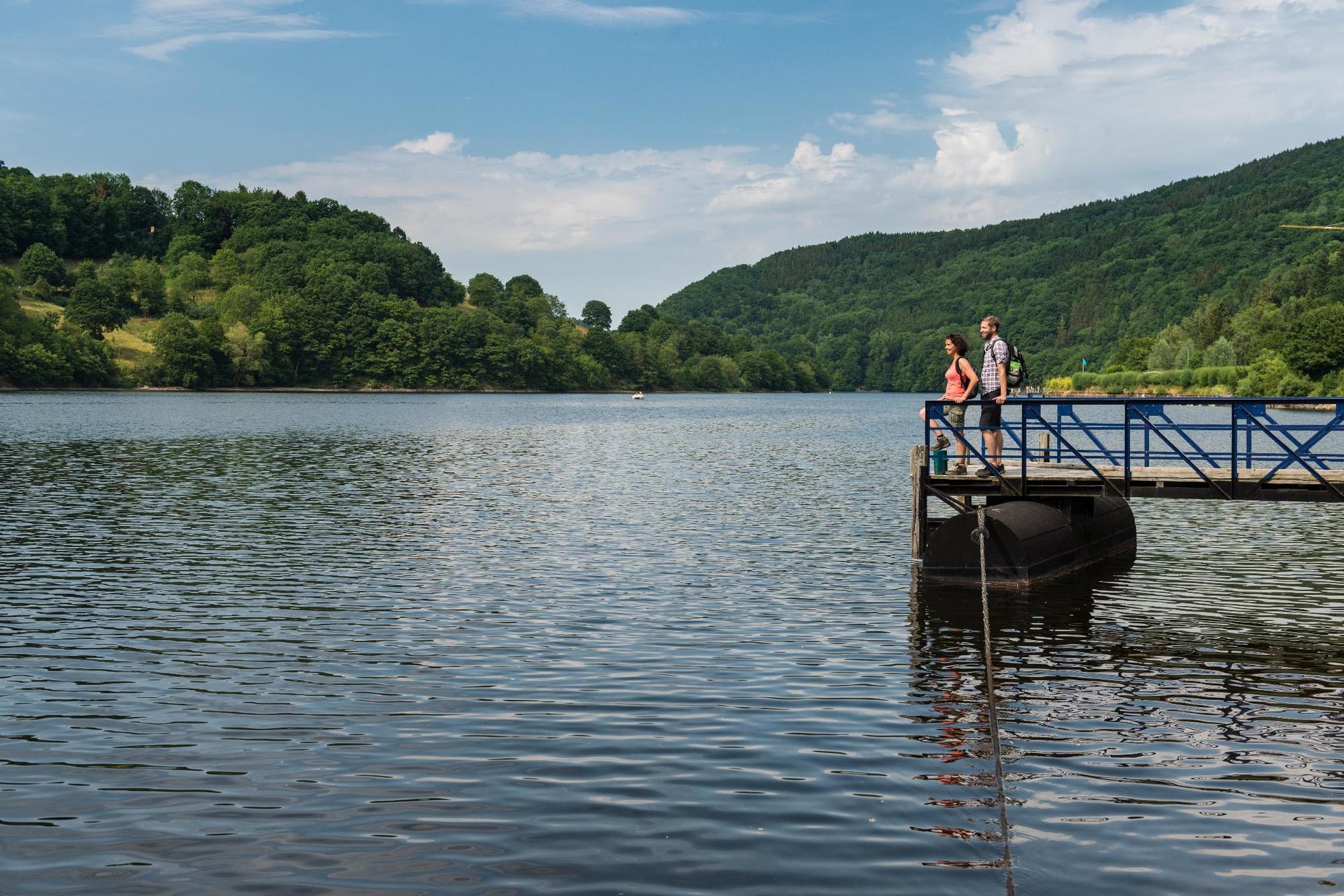
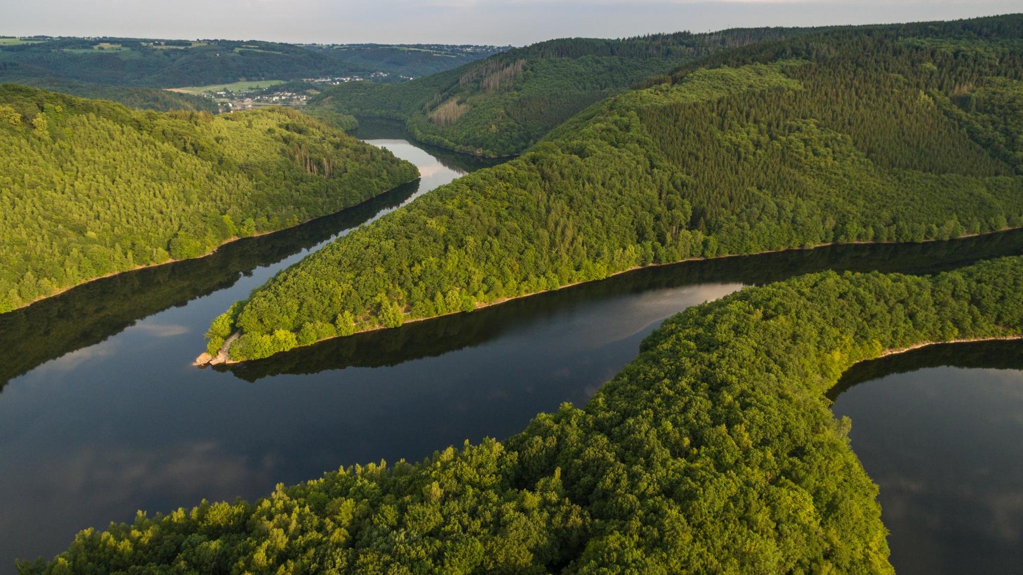
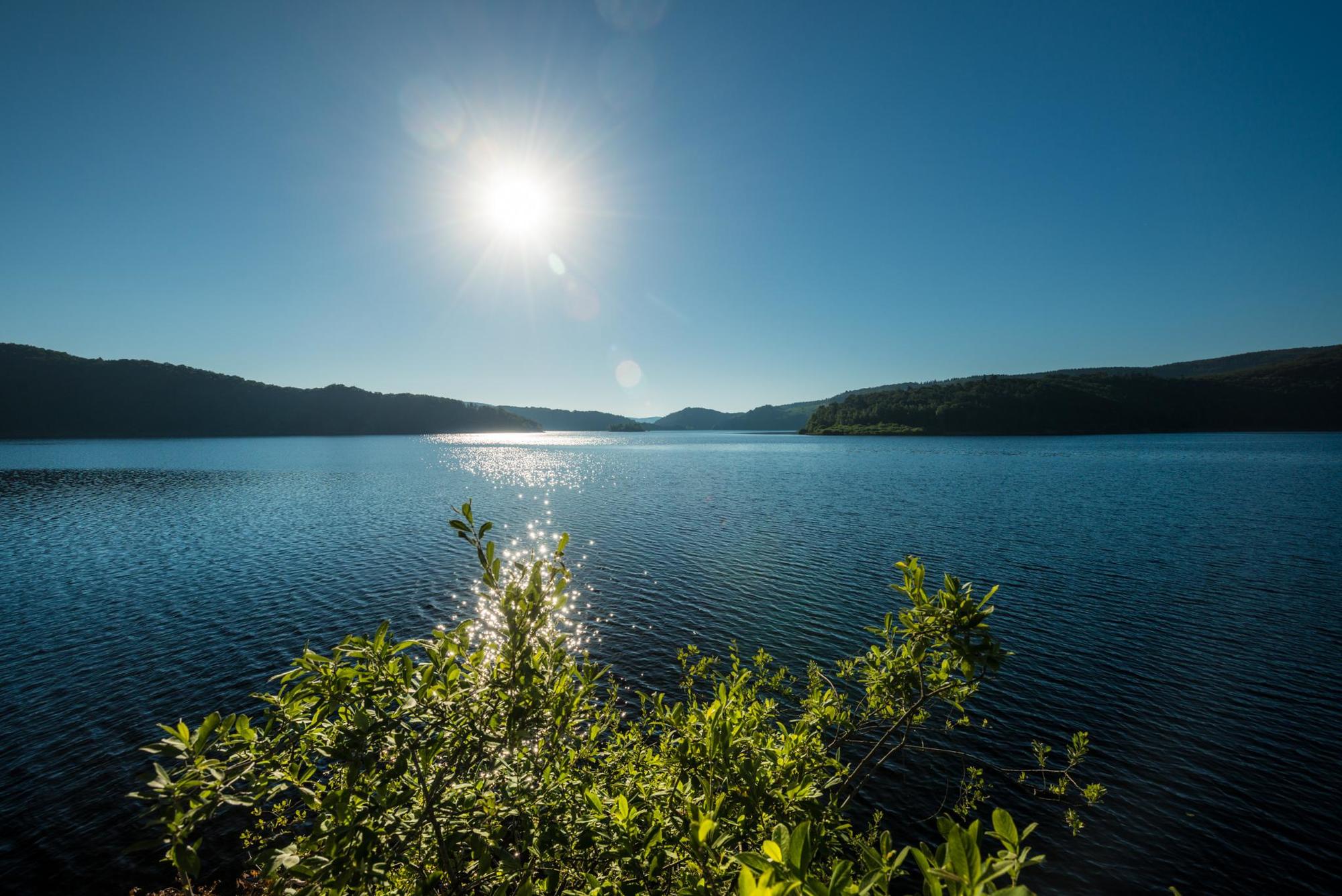
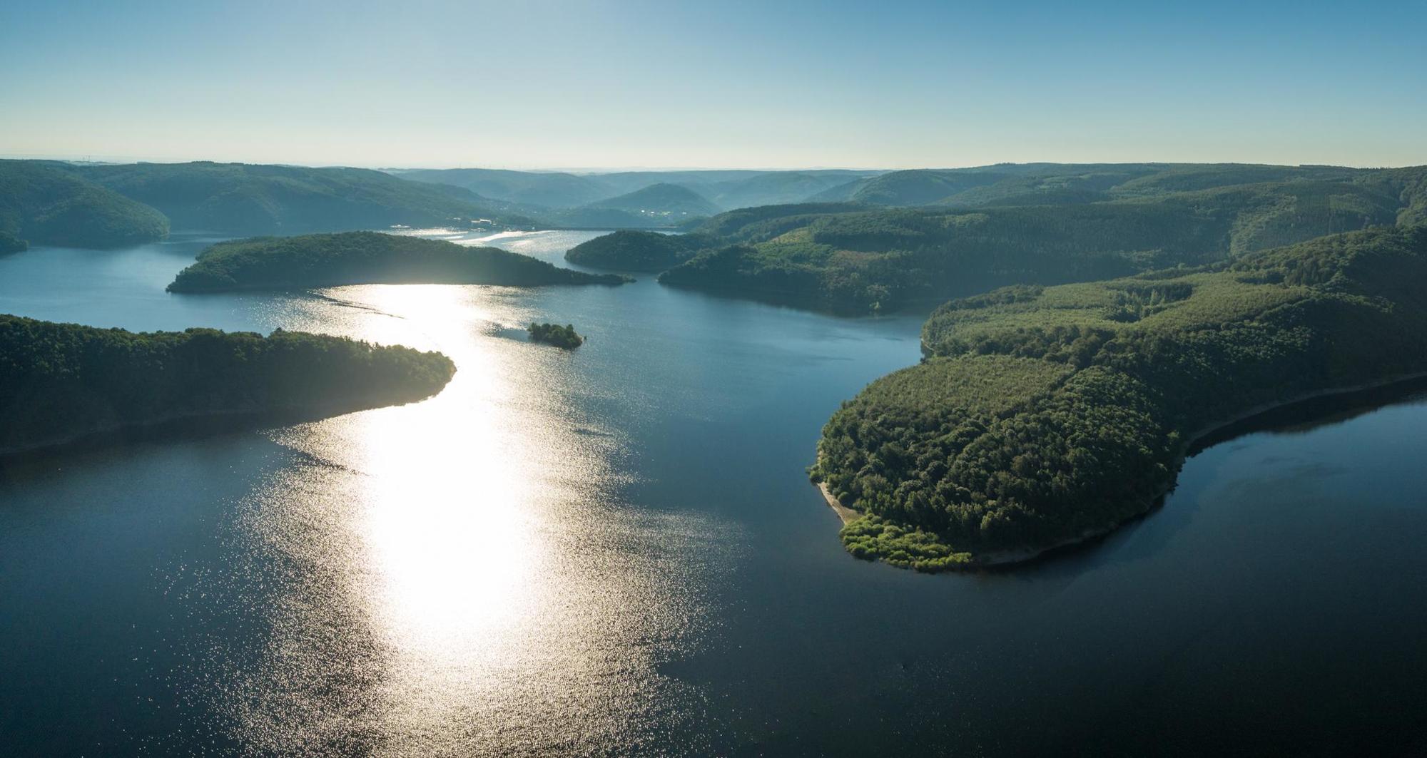
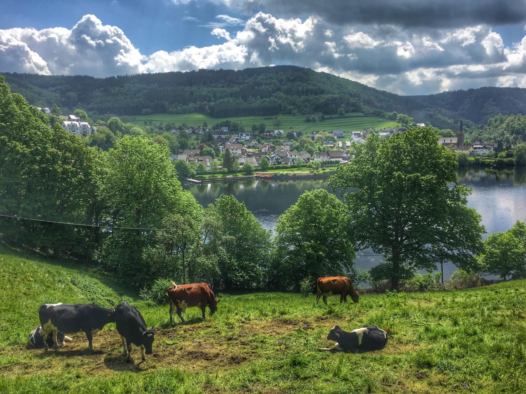
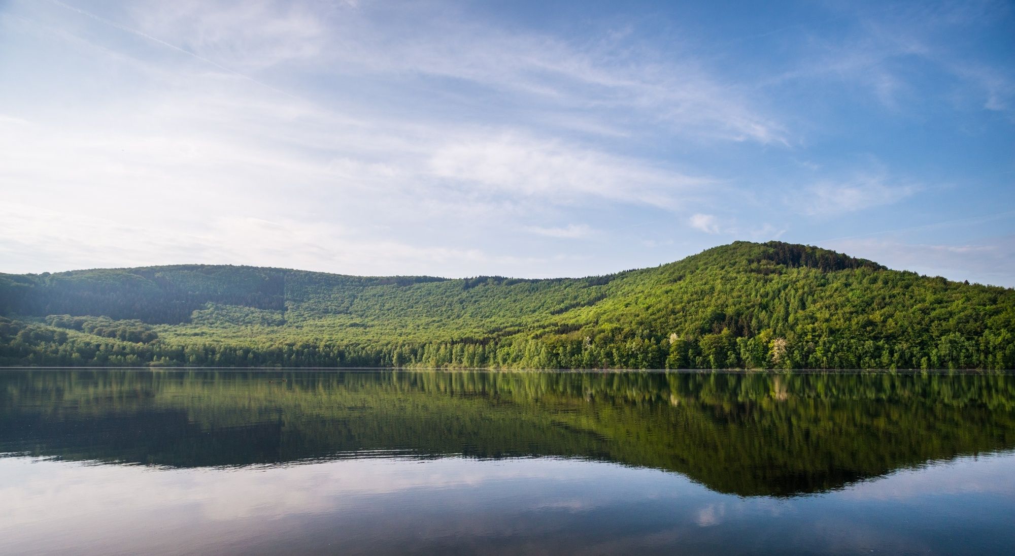
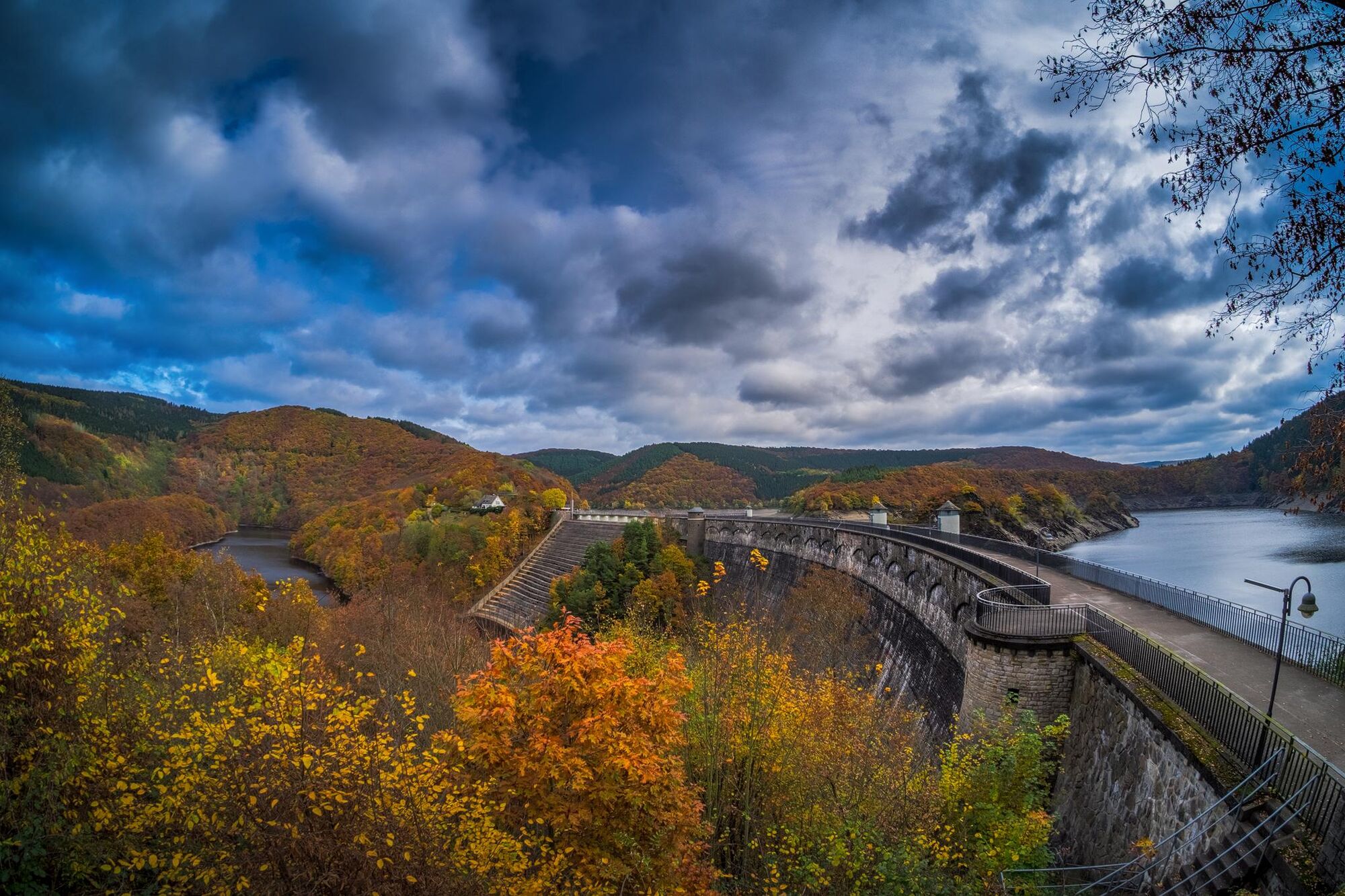
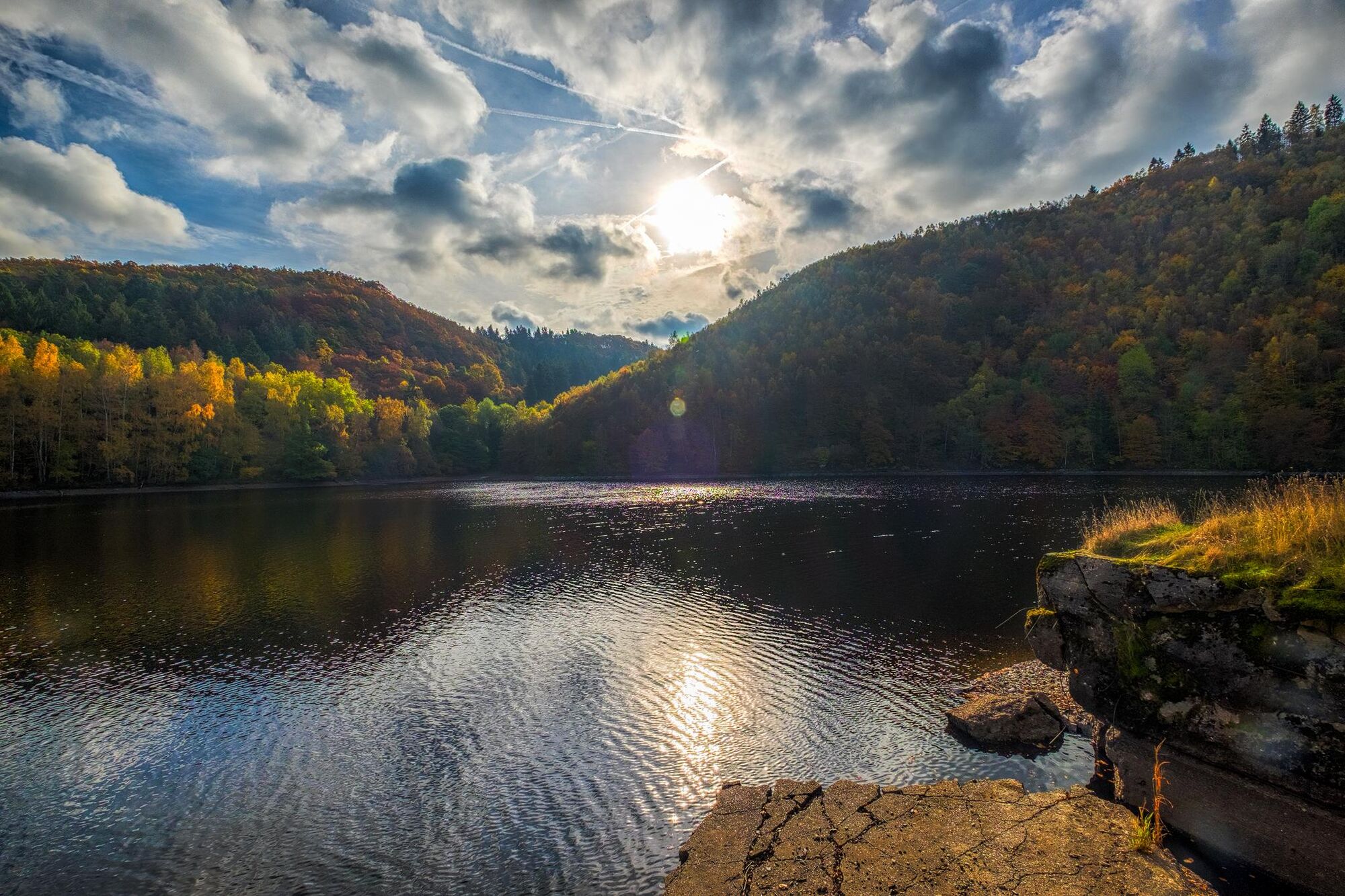
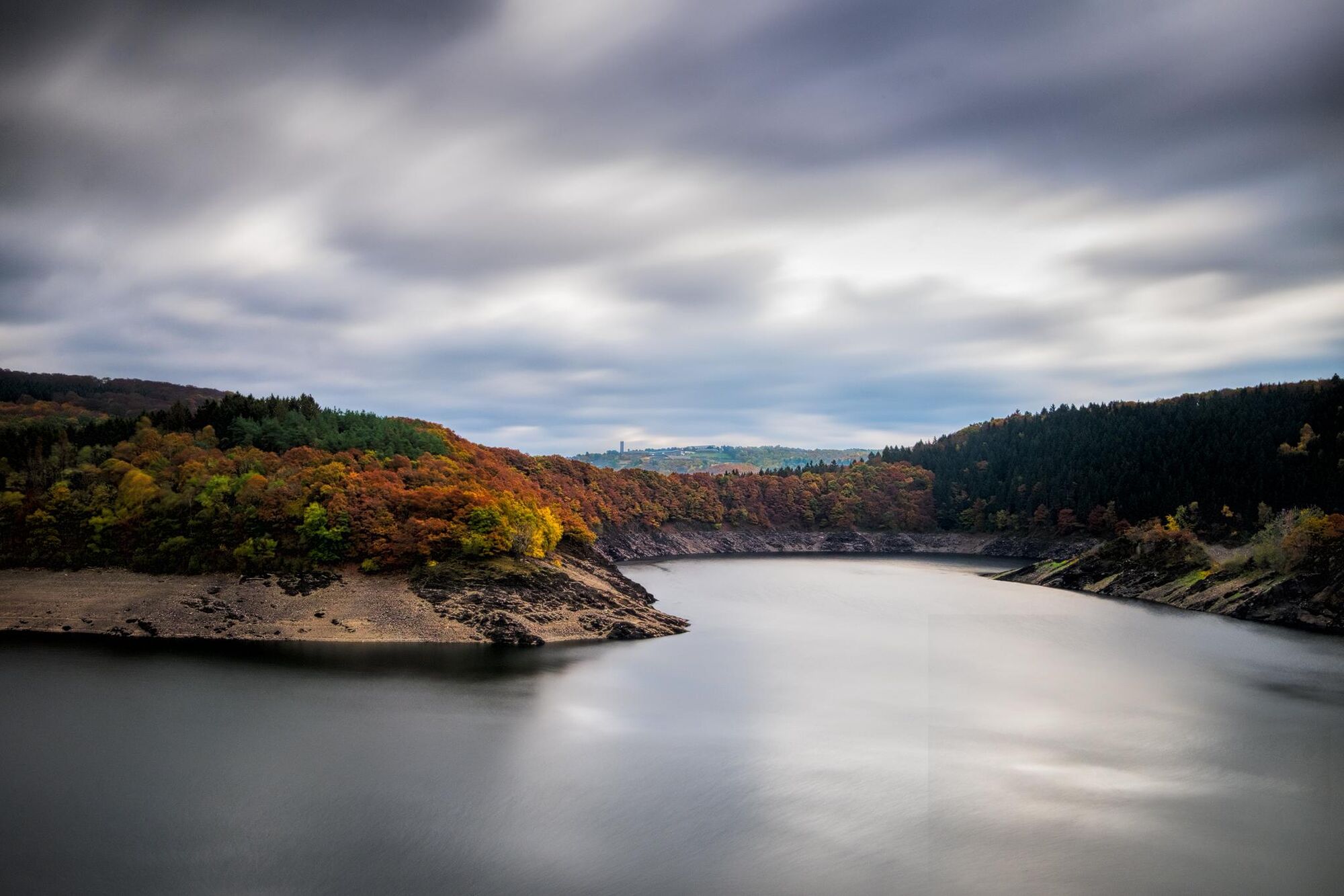
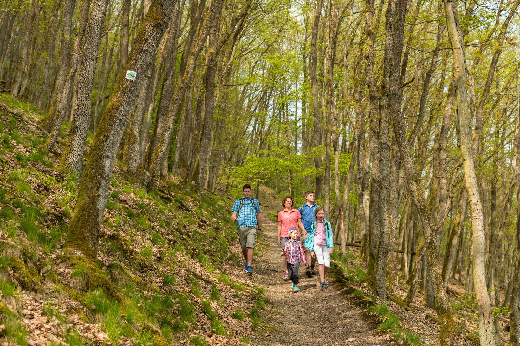
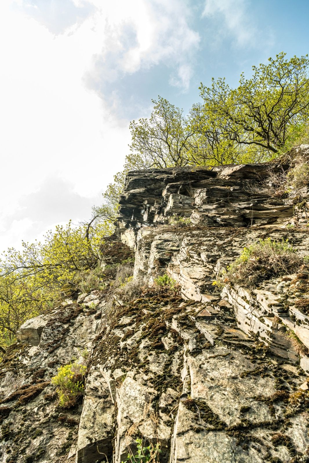
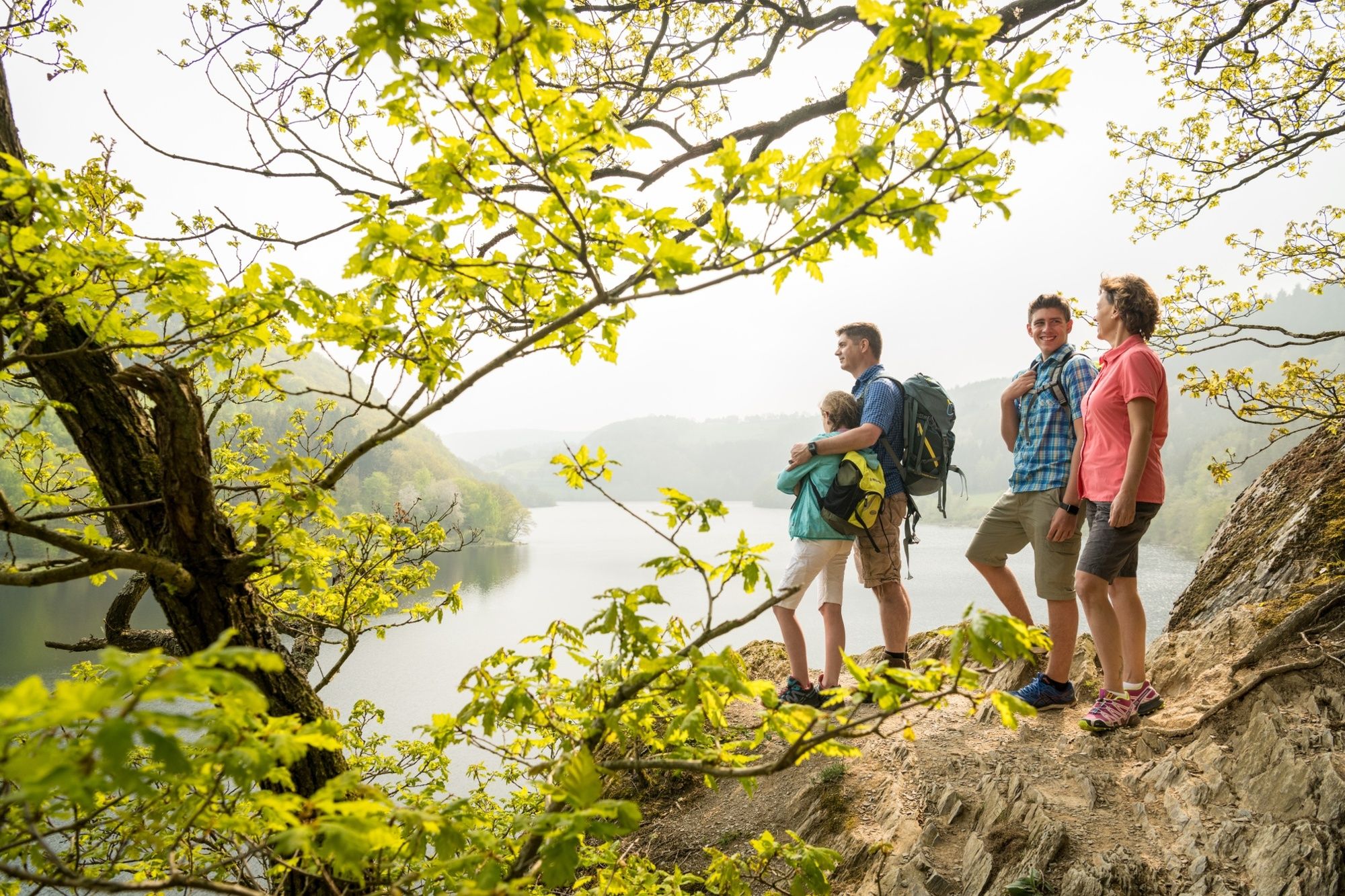
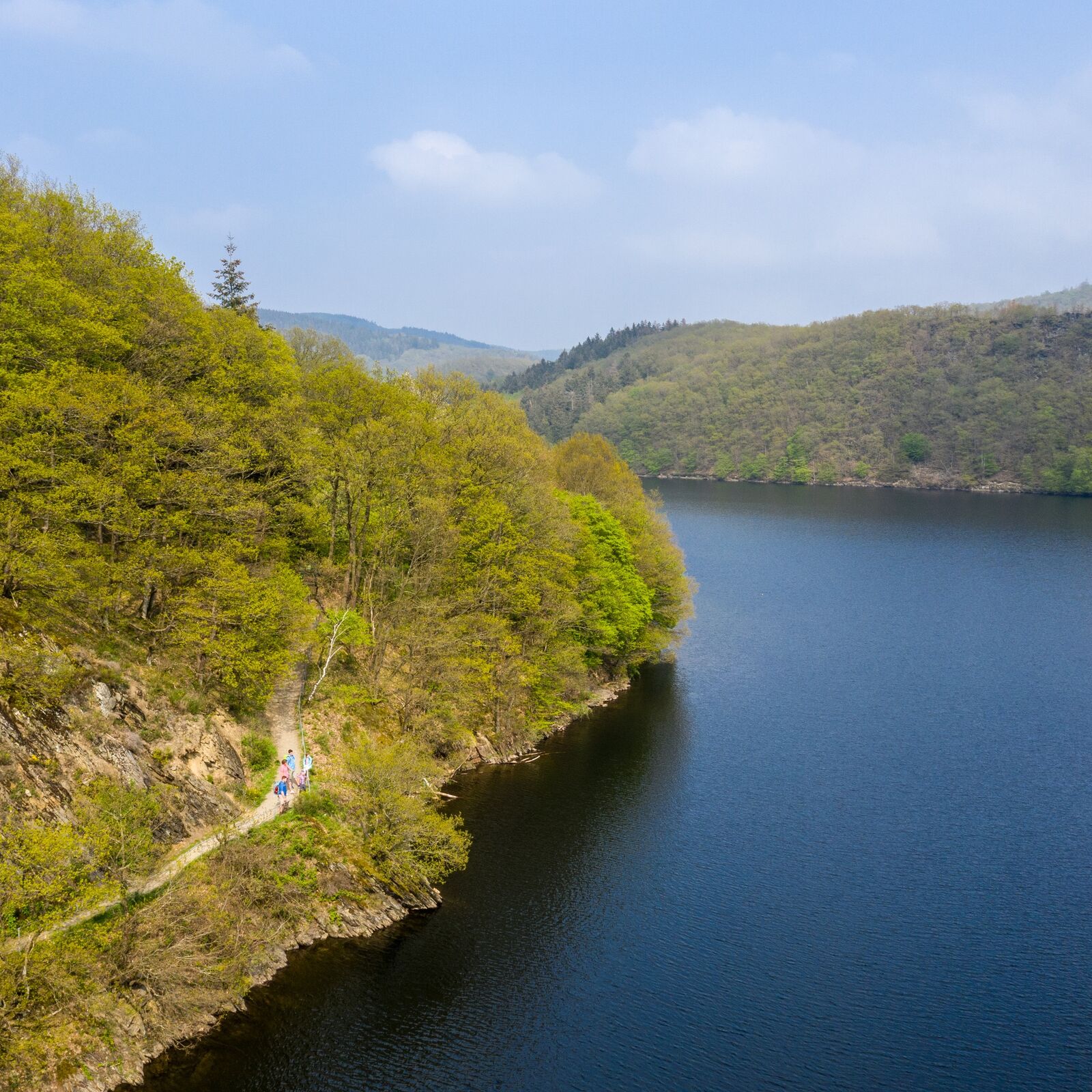
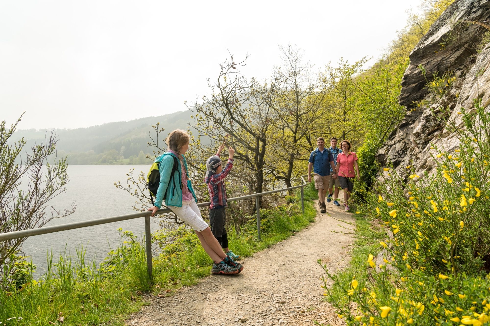
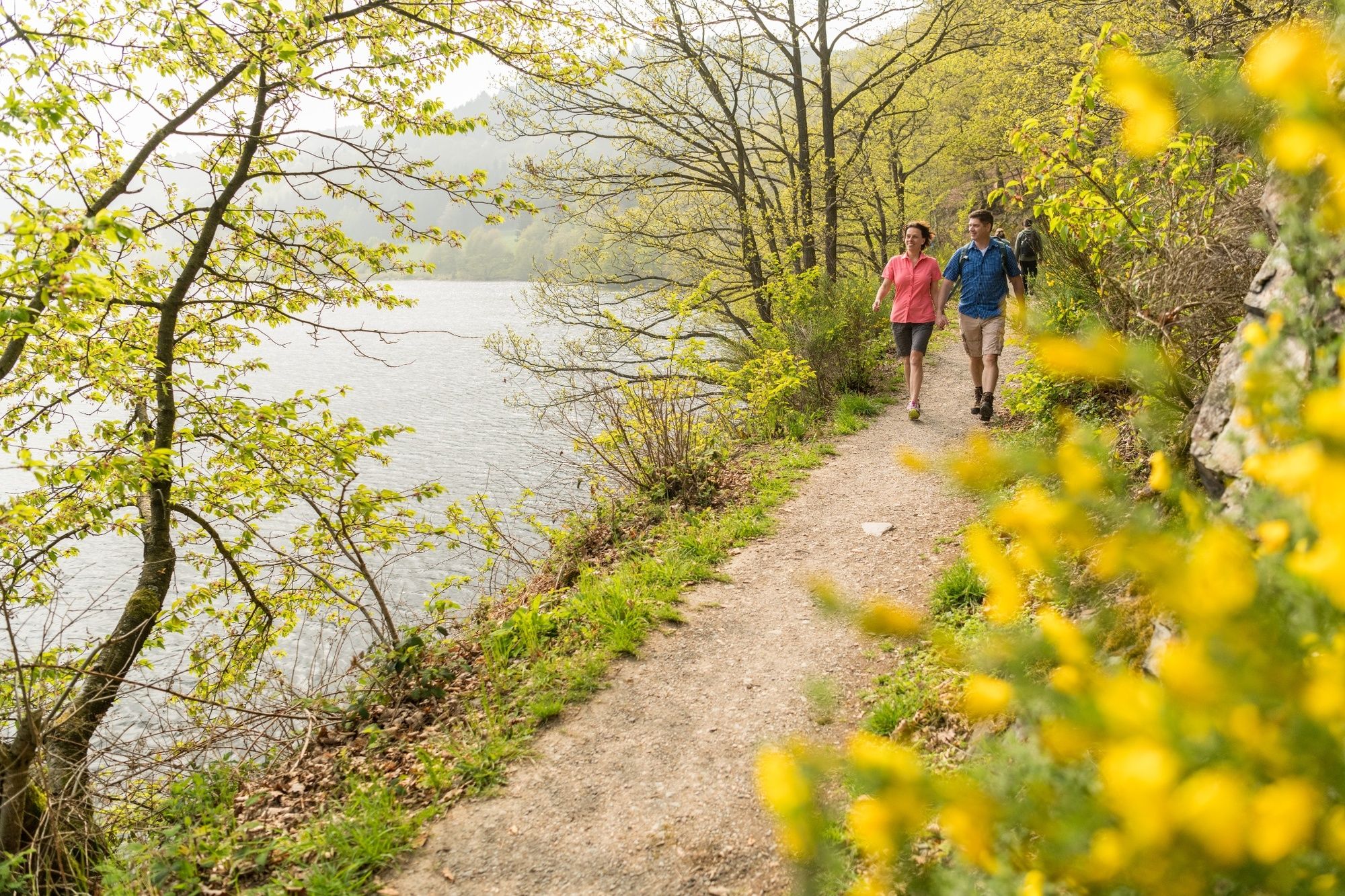
Deep in the heart of the Eifel National Park, the Water Landscape Route is the Triple Crown of hikes along the water. Departing from Einruhr, the hike takes you along the shores of the Obersee Lake with spectacular lake views at every turn, and then at Rurberg takes you across the Rur lake over the dam.
- Vaikeus
-
tapa
- Arviointi
-
- Reitti
-
St. Nikolaus0,0 kmEinruhr0,1 kmHannesauel3,9 kmAusflugslokal Urfttalsperre8,7 kmHostert15,1 kmHerbert's Eck16,1 kmSt. Nikolaus16,5 kmEinruhr16,6 km
- Paras kausi
-
tammihelmimaalishuhtitoukokesäheinäelosyyslokamarrasjoulu
- Korkein kohta
- 396 m
- Kohde
-
Einruhr
- Korkeusprofiili
-
 © outdooractive.com


- Kirjoittaja
-
Kiertue Eifelsteig Partner hike - the Water Landscape Route käyttää outdooractive.com toimitettu.
GPS Downloads


Yleistä tietoa
Virvokepysäkki
Flora
Lupaava
Lisää retkiä alueilla
-
Eifel & Aachen
1423
-
Nordeifel
834
-
Simmerath-Rurberg
446