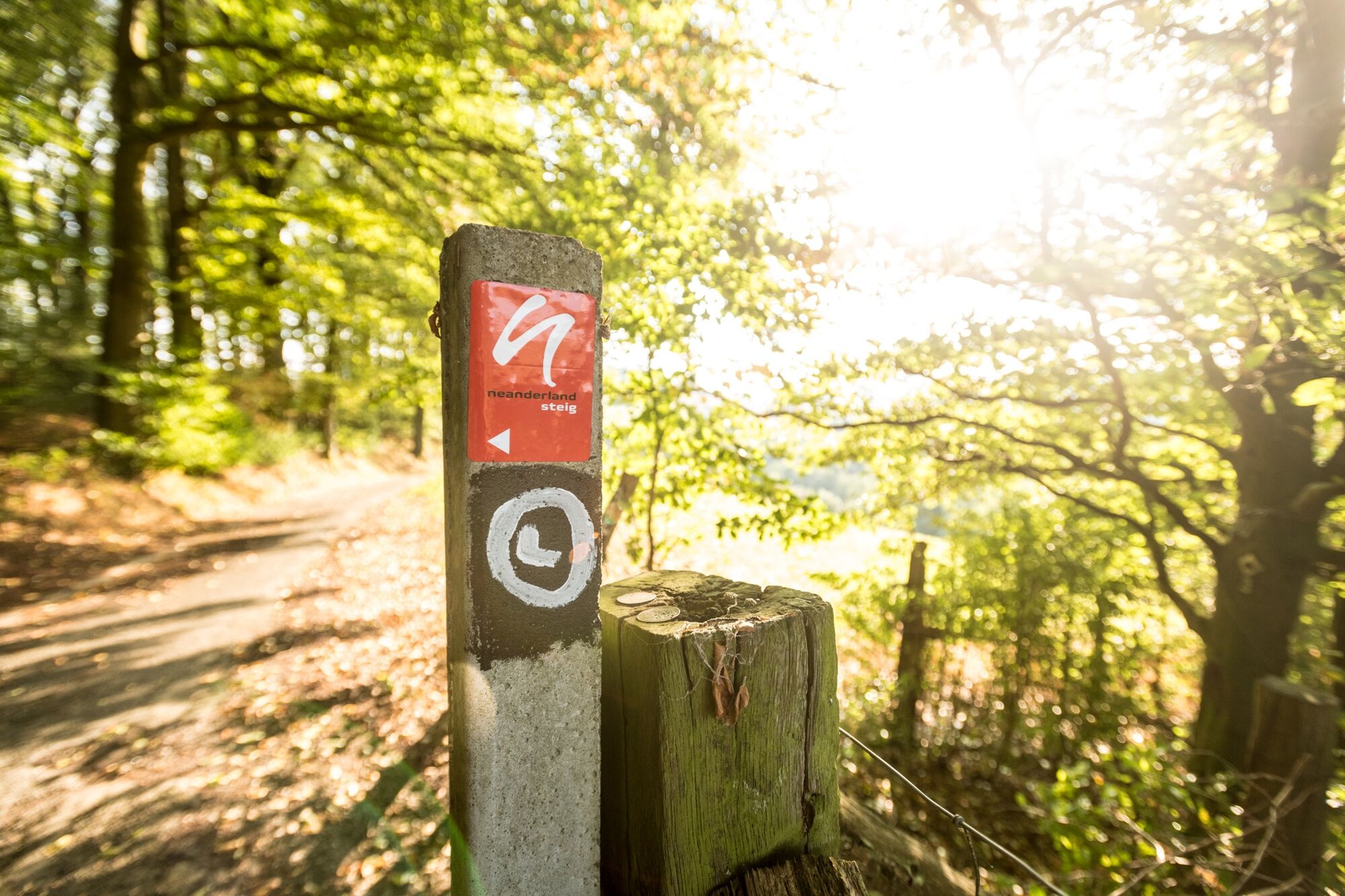
© Dominik Ketz, Kreis Mettmann

© Dominik Ketz, Kreis Mettmann
- Lyhyt kuvaus
-
Interesting and very easy stage with the lowest elevation gain; the small ups and downs are barely noticeable.
This extensive flat stage is characterised by several pretty paths beside many lakes and through agricultural landscapes – and past a GIGA electric power line
- Vaikeus
-
tapa
- Arviointi
-
- Reitti
-
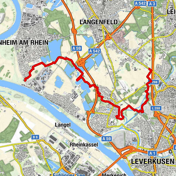
Dormagen0,1 kmMonheim am Rhein (40 m)1,1 kmLangenfeld (47 m)3,6 kmVoigtslach5,5 kmLeverkusen (60 m)11,8 km
- Paras kausi
-
tammihelmimaalishuhtitoukokesäheinäelosyyslokamarrasjoulu
- Korkein kohta
- 66 m
- Kohde
-
Opladener Straße in Langenfeld-Reusrath
- Korkeusprofiili
-
 © outdooractive.com
- Kirjoittaja
-
Kiertue 14 Monheim am Rhein to Langenfeld-Reusrath käyttää outdooractive.com toimitettu.
GPS Downloads


Yleistä tietoa
Virvokepysäkki
Lisää retkiä alueilla