Donausteig Stage 1_N04 Obermühl - St. Martin: "Summit assault - Danube valley & Mühlviertler highland"


© WGD Donau Oberösterreich Tourismus GmbH/Hochhauser - Hochhauser

© WGD Donau Oberösterreich Tourismus GmbH/Weissenbrunner

© WGD Donau Oberösterreich Tourismus GmbH/Weissenbrunner - Weissenbrunner

© WGD Donau Oberösterreich Tourismus GmbH/Weissenbrunner


- Lyhyt kuvaus
-
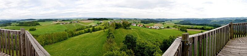
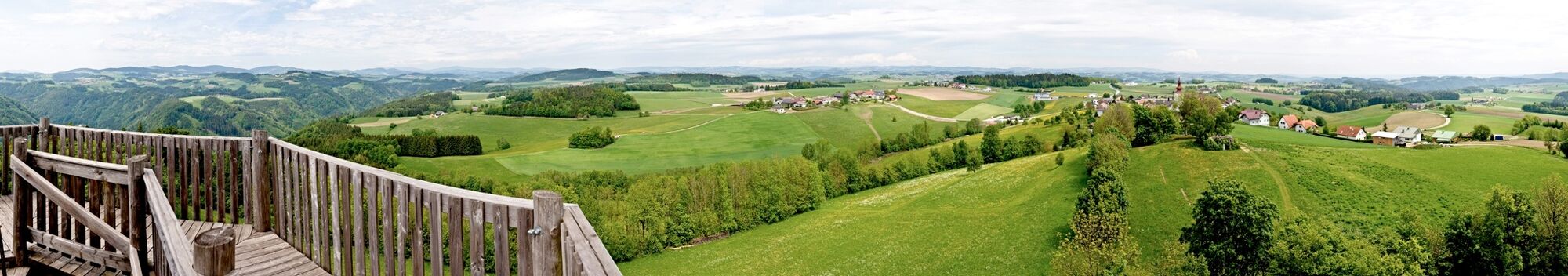
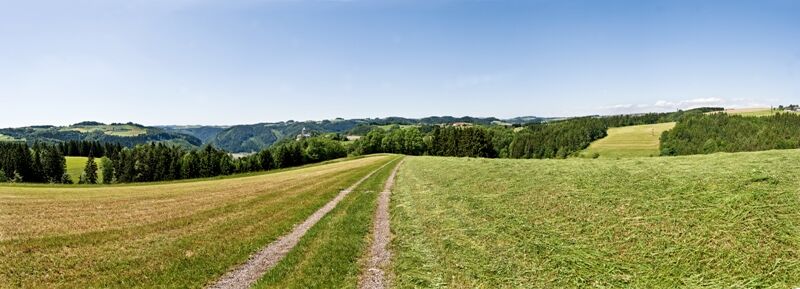
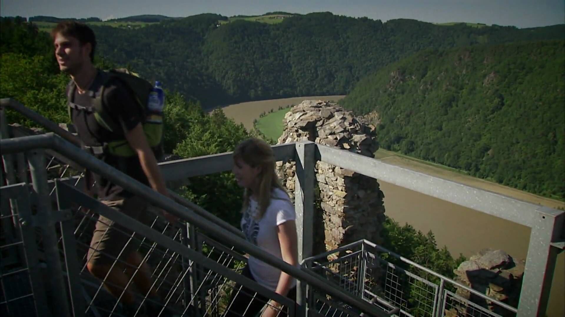
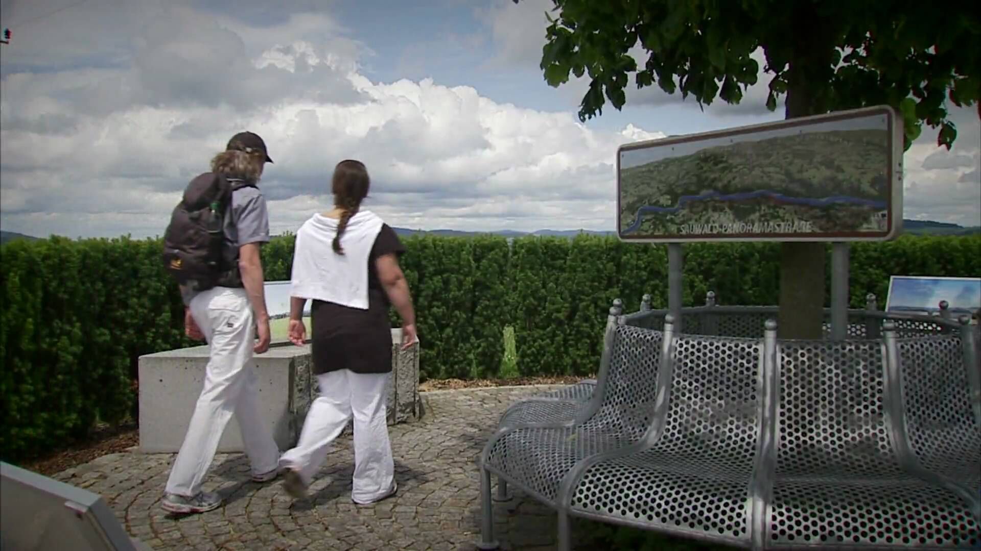
Donaustieg-simply fabulous! Summit assault onto the Burgstall - the highest peak, which rises directly from the Danube. This stage leads us from Obermühl in the wooded Danube gorge over the Burgstall on the rural Mühlviertel plateau to the Danube village of Untermühl and again on the high plateau of the Mühlviertel to St. Martin. During the hike we discover the sunken Danube villages, the tradition of paper production, the way of the salt, the miracle of the Schwarzenberg lumber floating canal, the famous Neuhauser granite...
- Vaikeus
-
tapa
- Arviointi
-
- Reitti
-
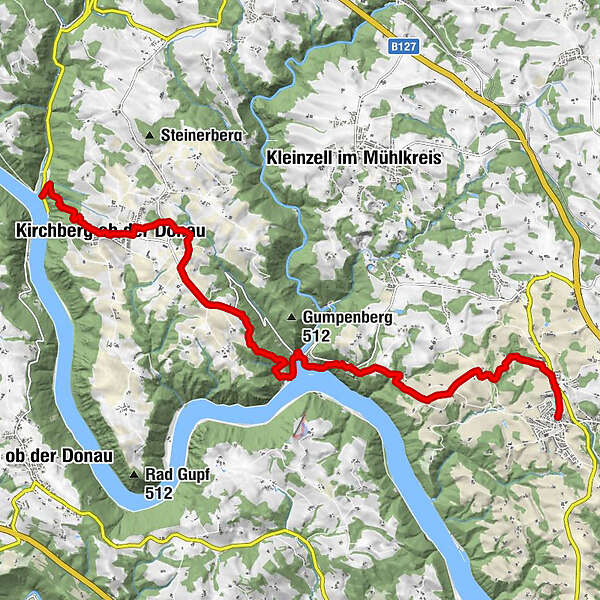
Obermühl an der Donau0,0 kmFischgasthaus Aumüller0,0 kmFilialkirche Obermühl an der Donau0,0 kmDonaublick0,7 kmKleiner Burgstall-Donaublick (596 m)1,4 kmBurgstallkapelle1,7 kmBurgstall (613 m)1,7 kmAussichtspunkt1,7 kmAussichtsplateau Burgstall1,7 kmPfarrkirche Kirchberg ob der Donau1,9 kmGasthaus Koblmüller2,0 kmKirchberg ob der Donau2,0 kmGasthaus Zalto-Höglinger2,1 kmWindhag3,4 kmGatterbauernkapelle4,5 kmPoint7,6 kmUntermühl8,4 kmGasthof Ernst8,6 kmSchiffsanlegestelle Untermühl8,6 kmNeuhaus an der Donau9,8 kmPanoramablick Falkenberg10,8 kmGrub12,2 kmAdsdorf13,7 kmSchlossblick14,1 kmVOI - Kultur am Markt14,8 kmSankt Martin im Mühlkreis14,8 km
- Paras kausi
-
tammihelmimaalishuhtitoukokesäheinäelosyyslokamarrasjoulu
- Korkein kohta
- 605 m
- Kohde
-
St. Martin - The Donausteig - starting point "St. Martin" is located in the Info-center at the parking lot situated in front of the Parish Church (next to the Raiffeisenkasse)
- Korkeusprofiili
-


- Kirjoittaja
GPS Downloads


Yleistä tietoa
Virvokepysäkki
Kulttuuri/Historiallinen
Flora
Fauna
Lupaava
Lisää retkiä alueilla
-
Hausruckviertel
1483
-
Donau Oberösterreich
775
-
Kleinzell im Mühlkreis
195