Picasa
Picasa
Retkitiedot
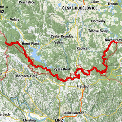
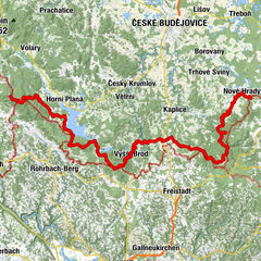
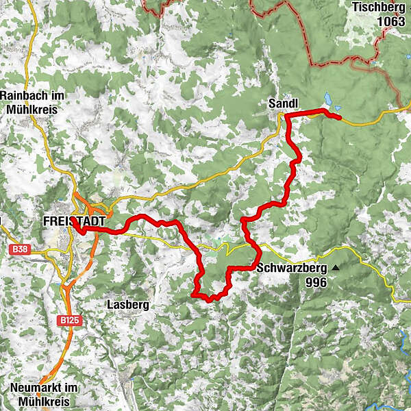
30,61km
552
- 978m
832hm
445hm
07:39h
- Lyhyt kuvaus
-
5 Tagesetappe
Dreisesselberg bis zum Nebelstein
Weitwanderweg mit einer Länge von ca 160km - Vaikeus
-
helppo
- Arviointi
-
- Lähtöpiste
-
Freistadt
- Reitti
-
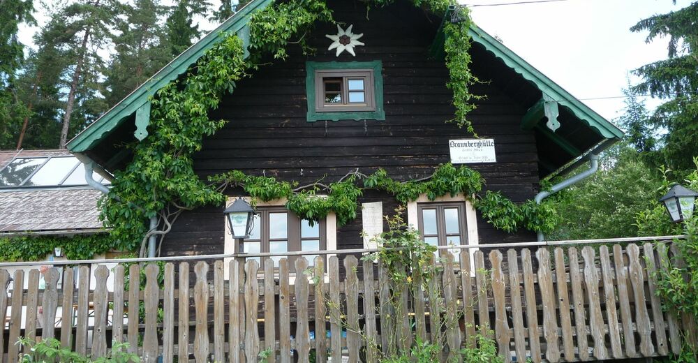
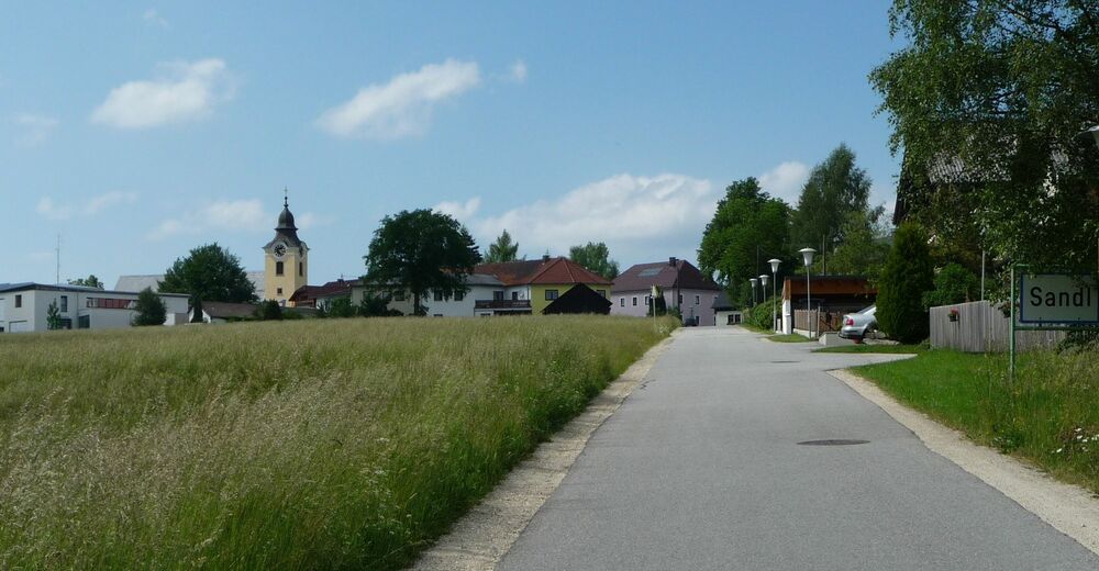
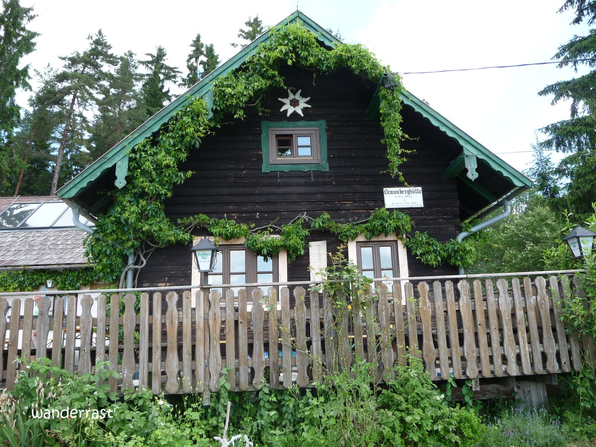
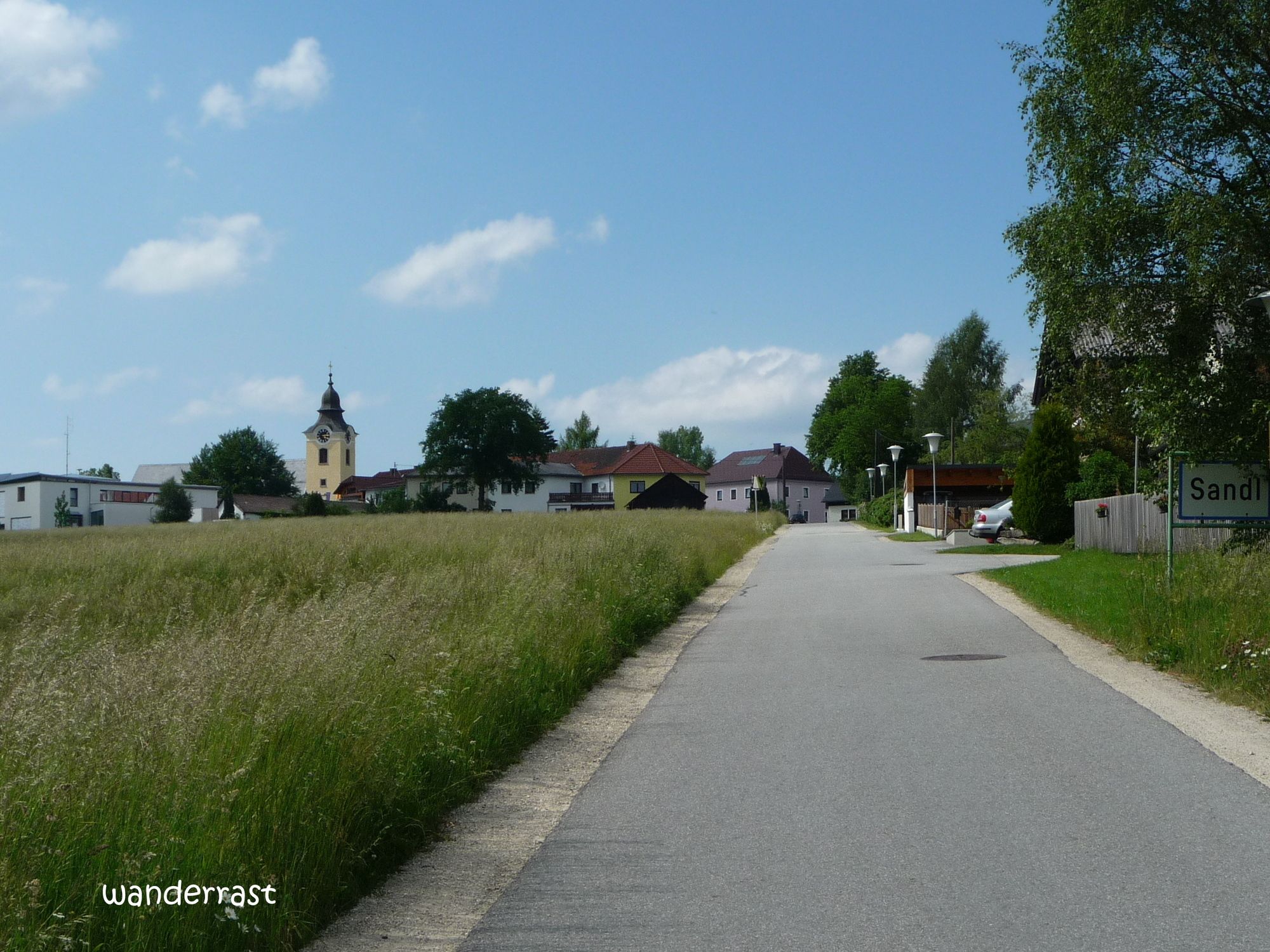
Freistadt0,7 kmStadtpfarrkirche0,7 kmManzenreith1,2 kmReickersdorf5,6 kmEtzelsdorf7,7 kmPizzeria Napoli8,2 kmSankt Oswald bei Freistadt8,6 kmPfarrkirche St. Oswald bei Freistadt8,9 kmBraunberghütte11,6 kmOstgipfel Braunberg (912 m)12,1 kmBraunberg (912 m)12,2 kmWitzelsberg13,0 kmStiftungsberg14,0 kmRaphaelshöhe15,7 kmHolzmühle17,9 kmGasthof zur Holzmühle18,3 kmLampelsberg19,0 kmGasthaus Gartner20,7 kmObermarreith20,7 kmSteinwald22,9 kmPürstling24,0 kmSandl27,7 kmKohlstatt28,5 km
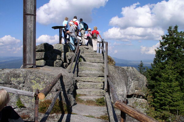
- Korkein kohta
- 978 m
- Kohde
-
Sandl
- Lähde
- wanderrast
GPS Downloads


Lisää retkiä alueilla
-
Mühlviertel
1781
-
Mühlviertler Alm Freistadt
1069
-
St. Oswald bei Freistadt
329