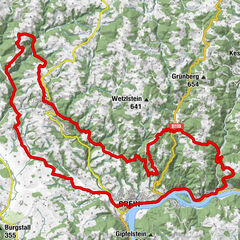
© Oberösterreich Tourismus/Mühlviertler Alm Freistadt/Moritz Ablinger

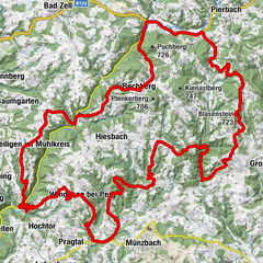
© TVB Mühlviertler Alm Freistadt/Robert Diesenreither

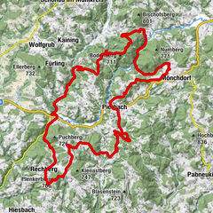
© TVB Mühlviertler Alm

- Vaikeus
-
vaikea
- Arviointi
-
- Reitti
-
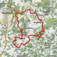
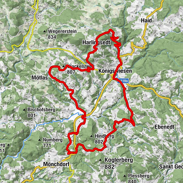
Pfarrkirche Königswiesen0,0 kmKönigswiesen0,0 kmSalchenedt5,7 kmHaidfeld6,5 kmSchreineredt6,6 kmOrtskapelle6,8 kmKapelle10,9 kmHarlingsedt22,5 kmUnter der Leithen24,1 kmPfarrkirche Königswiesen27,9 kmKönigswiesen28,0 km
- Paras kausi
-
tammihelmimaalishuhtitoukokesäheinäelosyyslokamarrasjoulu
- Korkein kohta
- 866 m
- Korkeusprofiili
-


- Kirjoittaja
-
Kiertue Königswiesen circuit tour M3 käyttää outdooractive.com toimitettu.
GPS Downloads


Yleistä tietoa
Virvokepysäkki
Lisää retkiä alueilla
-
Mühlviertel
194
-
Strudengau
73
-
Königswiesen
26