© OÖ Tourismus Hochhauser - Christoph Steinweg

- Lyhyt kuvaus
-
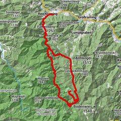
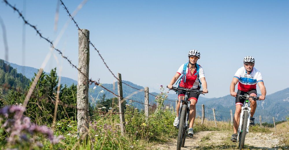
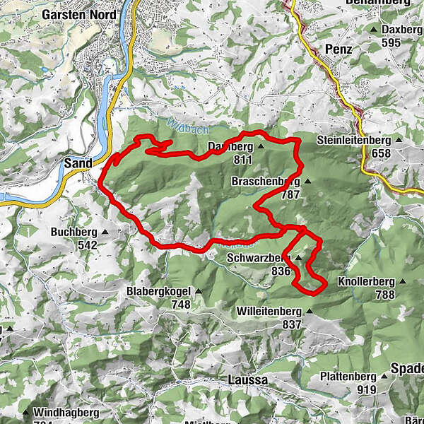
A great tour in the shady forest with brilliant viewing spots! The route around the Damberg can be ideally combined with a lap of honor around the neighboring Schwarzberg.
- Vaikeus
-
tapa
- Arviointi
-
- Reitti
-
Laurenzikapelle6,0 kmUnterdambach20,0 kmGasthaus Weidmann20,1 kmDambach21,6 km
- Paras kausi
-
tammihelmimaalishuhtitoukokesäheinäelosyyslokamarrasjoulu
- Korkein kohta
- 762 m
- Kohde
-
Damberg
- Korkeusprofiili
-

- Kirjoittaja
-
Kiertue Damberg-Schwarzberg käyttää outdooractive.com toimitettu.
GPS Downloads


Yleistä tietoa
Lupaava
Lisää retkiä alueilla
-
Traunviertel
141
-
Steyr und die Nationalpark Region
116
-
Laussa
39