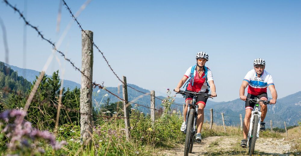
© OÖ Tourismus Hochhauser - Christoph Steinweg

- Lyhyt kuvaus
-
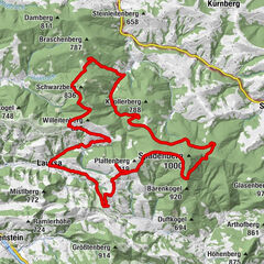
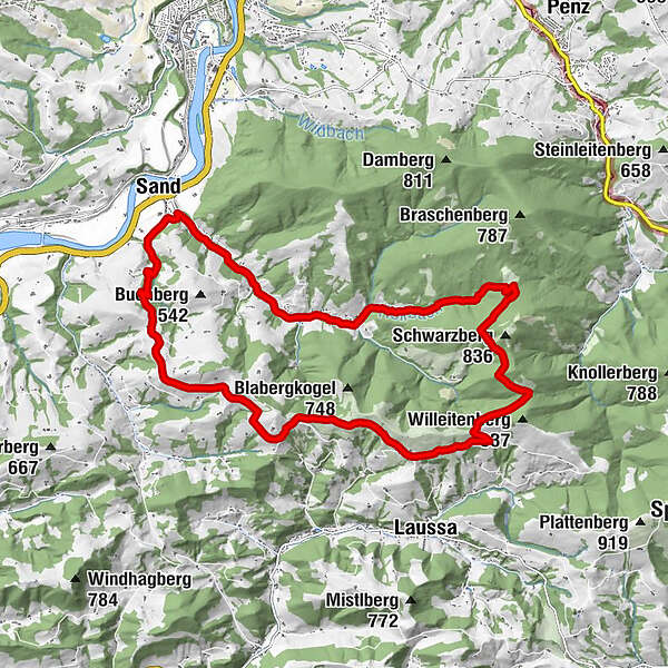
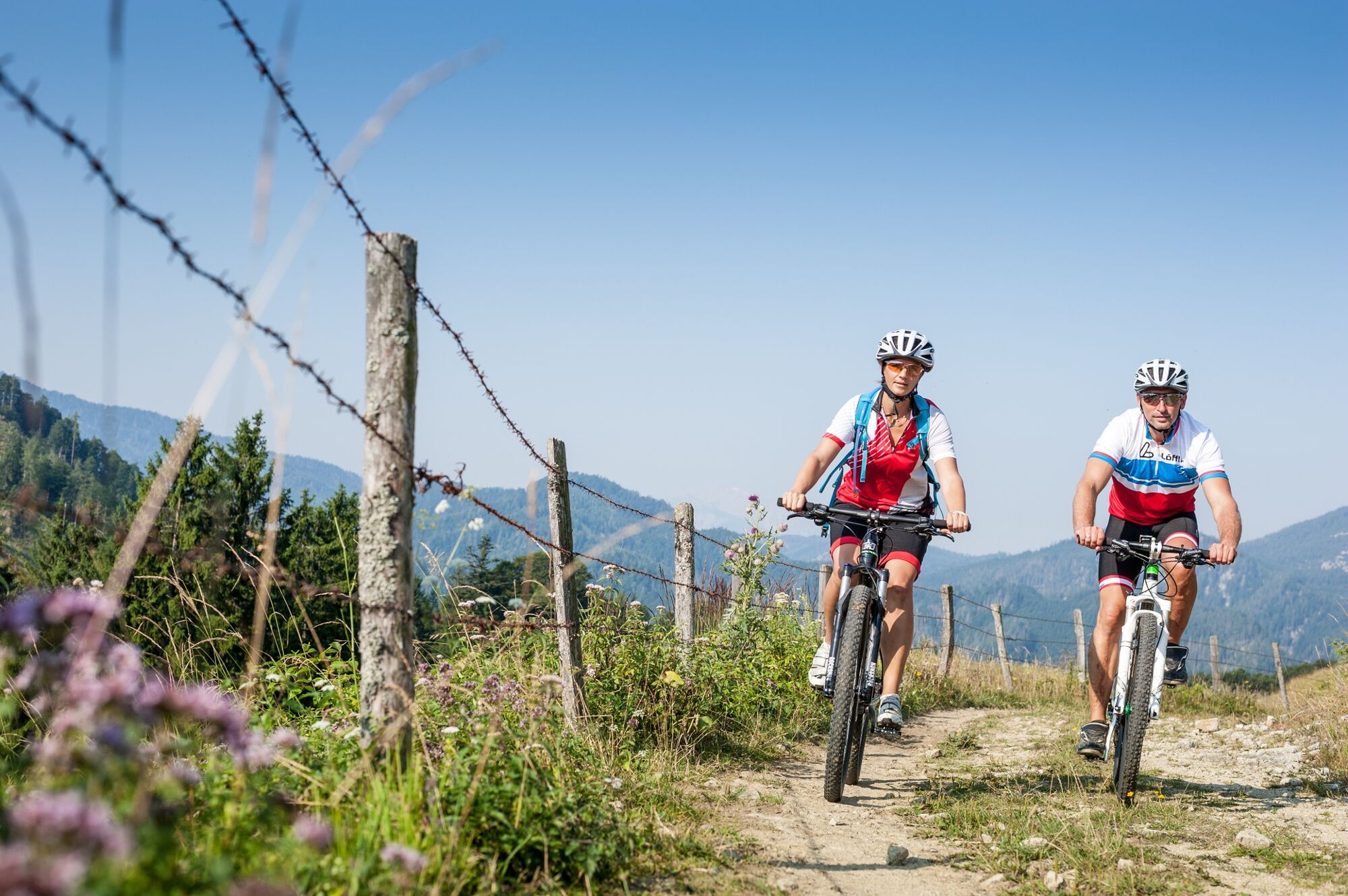
Impressive panoramic tour, which can be extended by the Kohlergrabenrunde and the Spadenbergrunde.
- Vaikeus
-
helppo
- Arviointi
-
- Reitti
-
Dambach0,7 kmUnterdambach2,1 kmGasthaus Weidmann2,1 kmRumplhöhe12,9 kmUnterlaussa13,1 kmSand19,2 km
- Paras kausi
-
tammihelmimaalishuhtitoukokesäheinäelosyyslokamarrasjoulu
- Korkein kohta
- 759 m
- Kohde
-
Sand
- Korkeusprofiili
-

- Kirjoittaja
-
Kiertue Große Dambachrunde käyttää outdooractive.com toimitettu.
GPS Downloads


Lisää retkiä alueilla
-
Traunviertel
141
-
Steyr und die Nationalpark Region
116
-
Laussa
39