- Lyhyt kuvaus
-
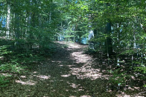
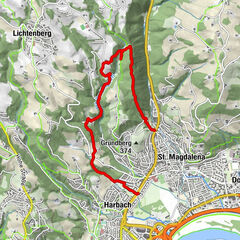
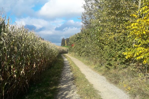
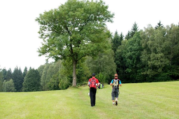
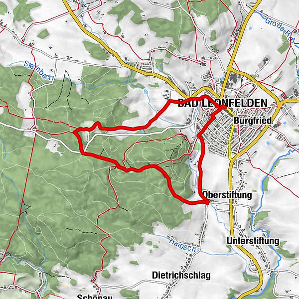
Route: Bad Leonfelden Platz - Kneipp facility - Steinwald - Ritterkreuz - Haid - Farb - Bad Leonfelden Platz
- Vaikeus
-
helppo
- Arviointi
-
- Reitti
-
Leonfeldner HofHewal0,0 kmBad Leonfelden0,0 kmPfarrkirche Bad Leonfelden0,1 kmOberstiftung1,9 kmHaid6,8 kmFarb7,3 kmPfarrkirche Bad Leonfelden7,9 kmBad Leonfelden7,9 kmHewal7,9 kmLeonfeldner Hof8,0 km
- Paras kausi
-
tammihelmimaalishuhtitoukokesäheinäelosyyslokamarrasjoulu
- Korkein kohta
- 834 m
- Korkeusprofiili
-

- Kirjoittaja
-
Kiertue 1 Steinwald Round käyttää outdooractive.com toimitettu.
GPS Downloads


Lisää retkiä alueilla
-
Mühlviertel
1781
-
Mühlviertler Sterngartl
1062
-
Bad Leonfelden
268