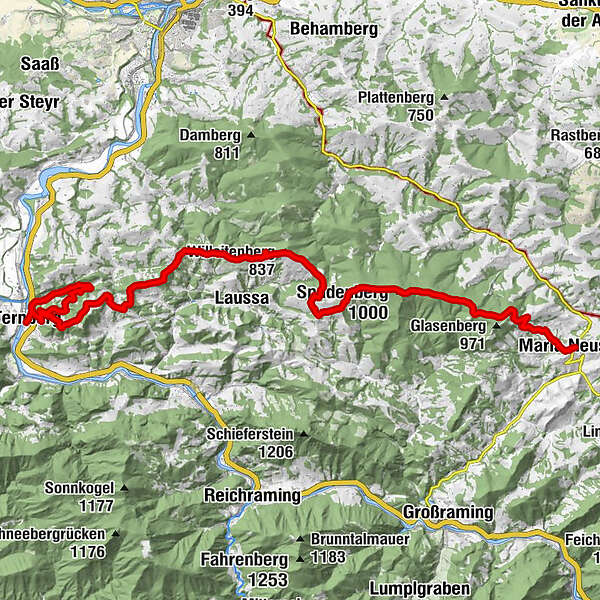
Via Maria - 12th day stage from Ternberg an der Enns to Maria Neustift


© TVB Mostviertel
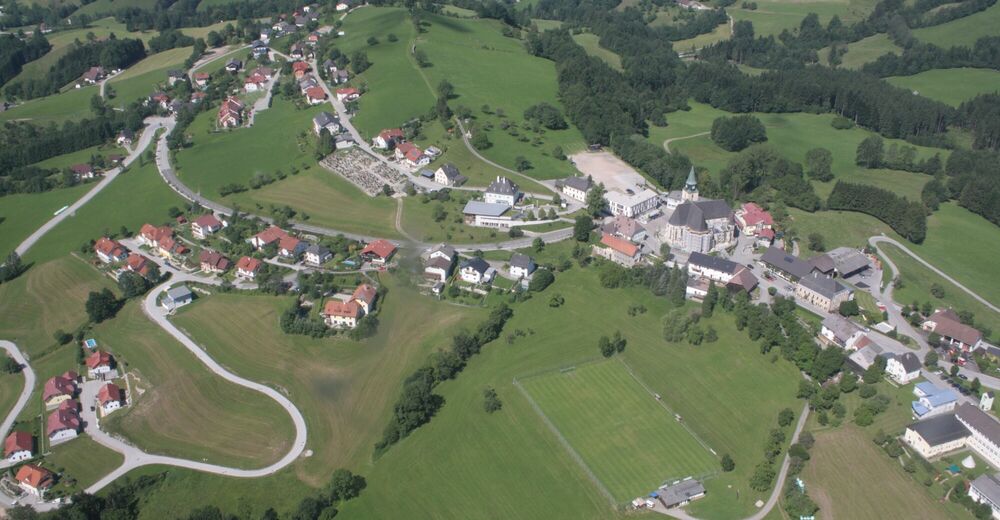
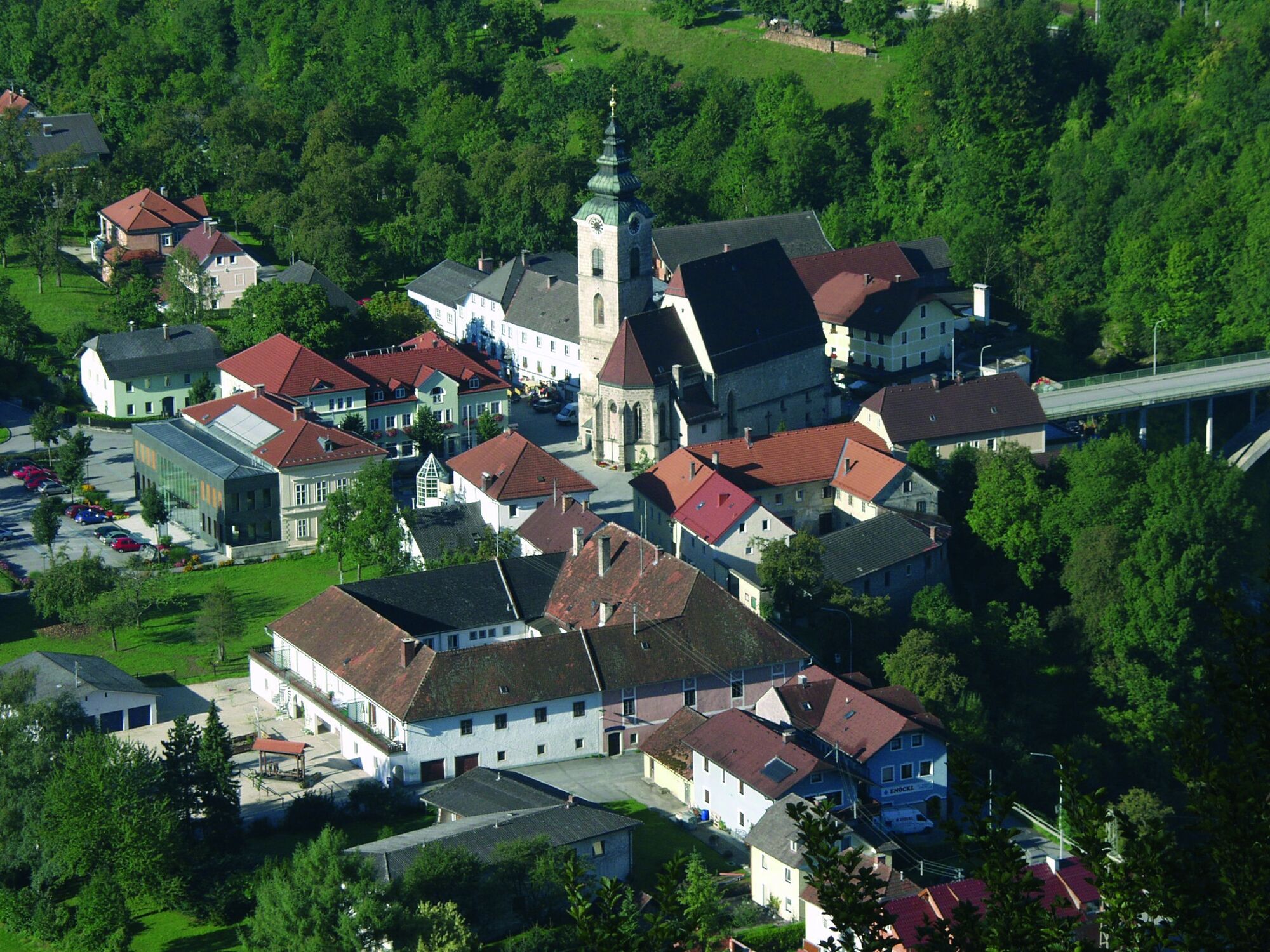
© Gemeinde Ternberg

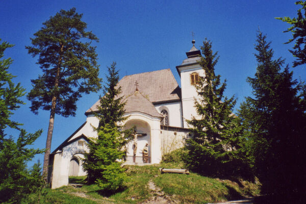
© Gemeinde Ternberg
© Gemeinde Ternberg - Ute Steininger

© Tourismusverband Steyr Nationalpark Region - Kurt Krifter
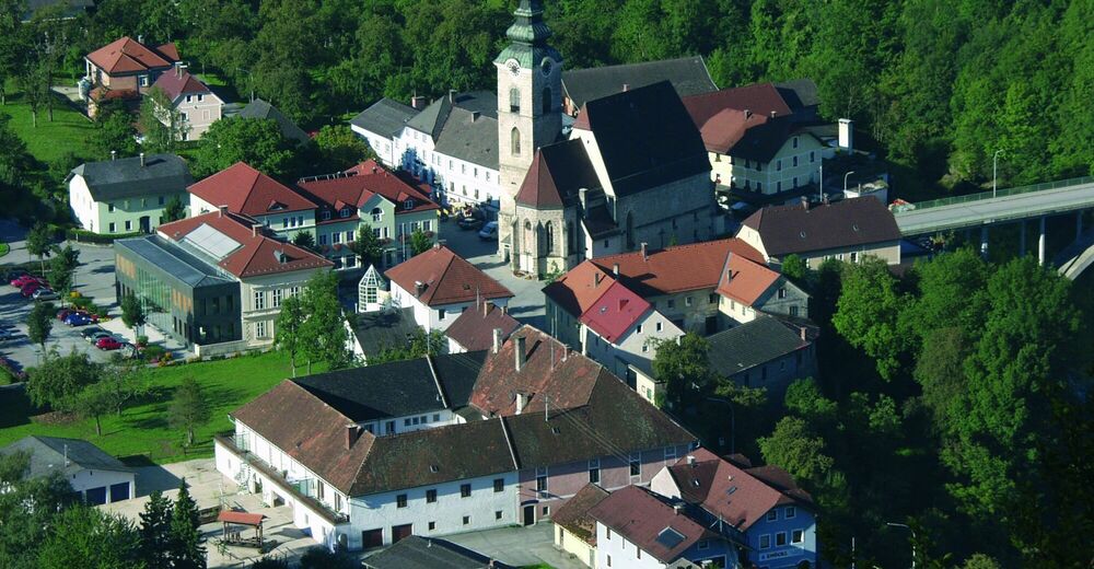
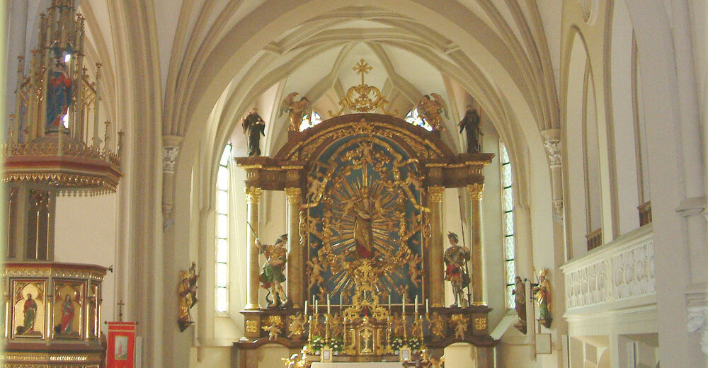
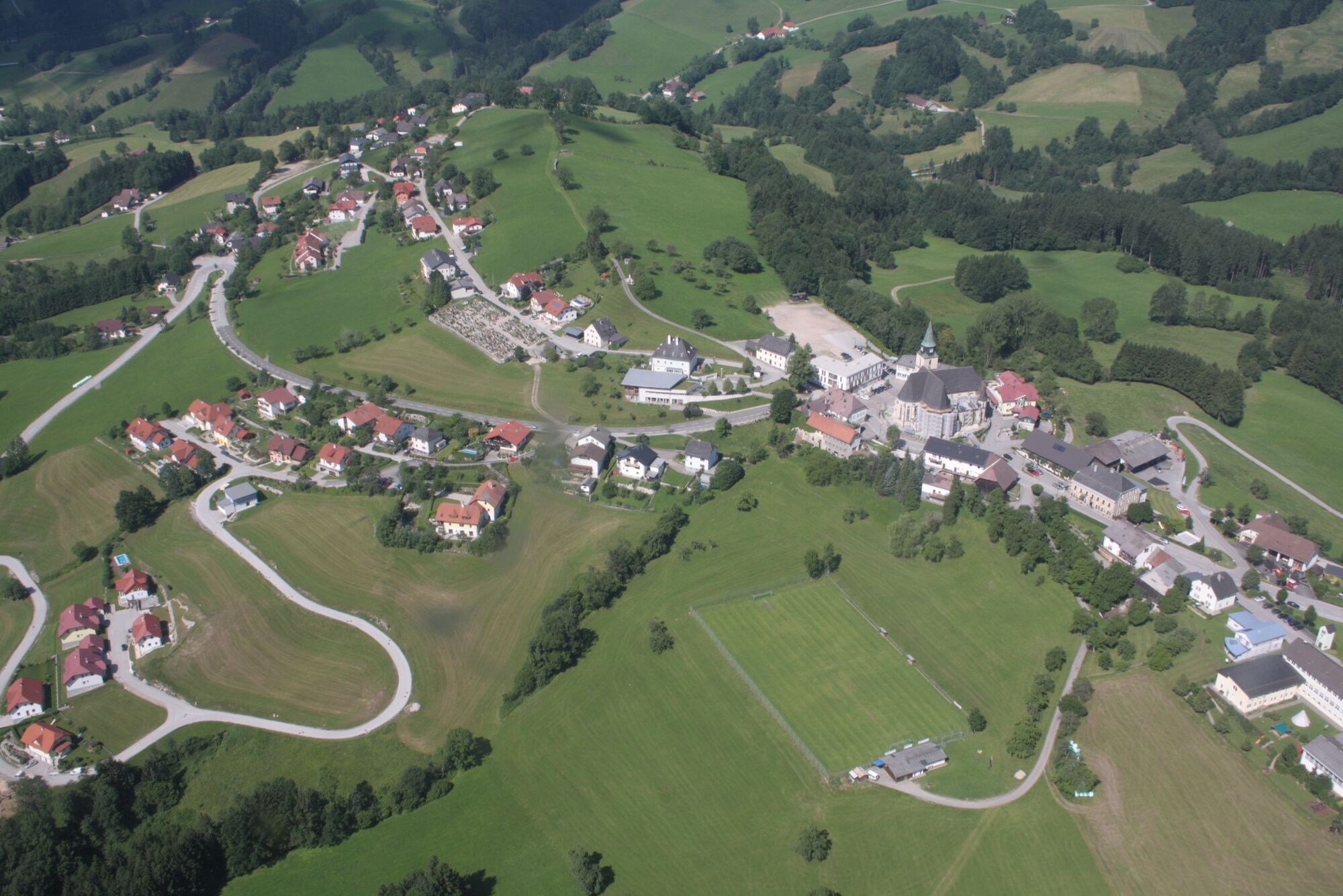
© Gemeinde Maria Neustift - Rudolf Mayer
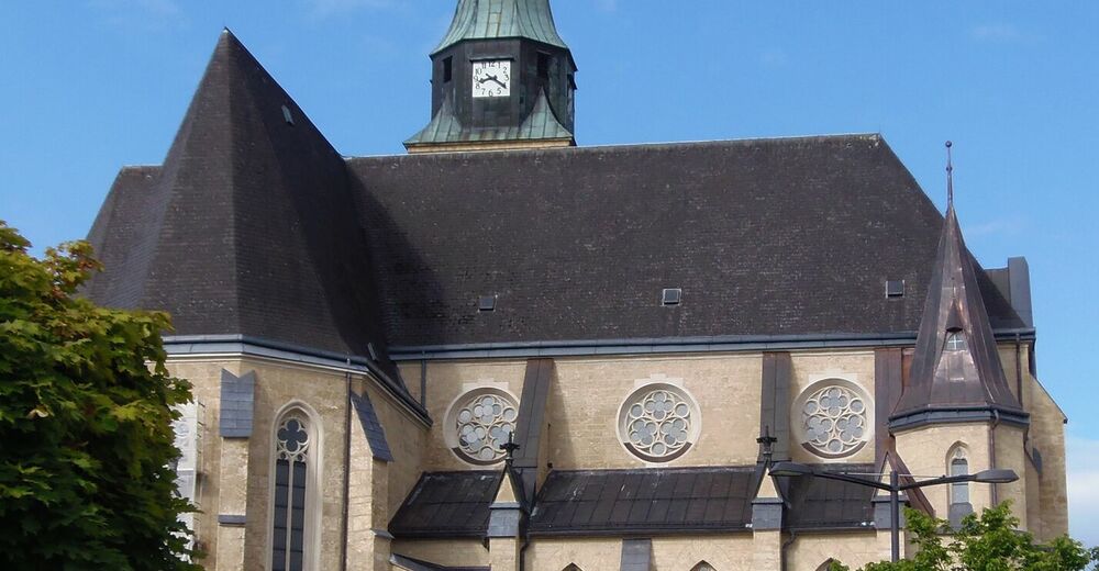
© Gemeinde Maria Neustift

© Gemeinde Maria Neustift
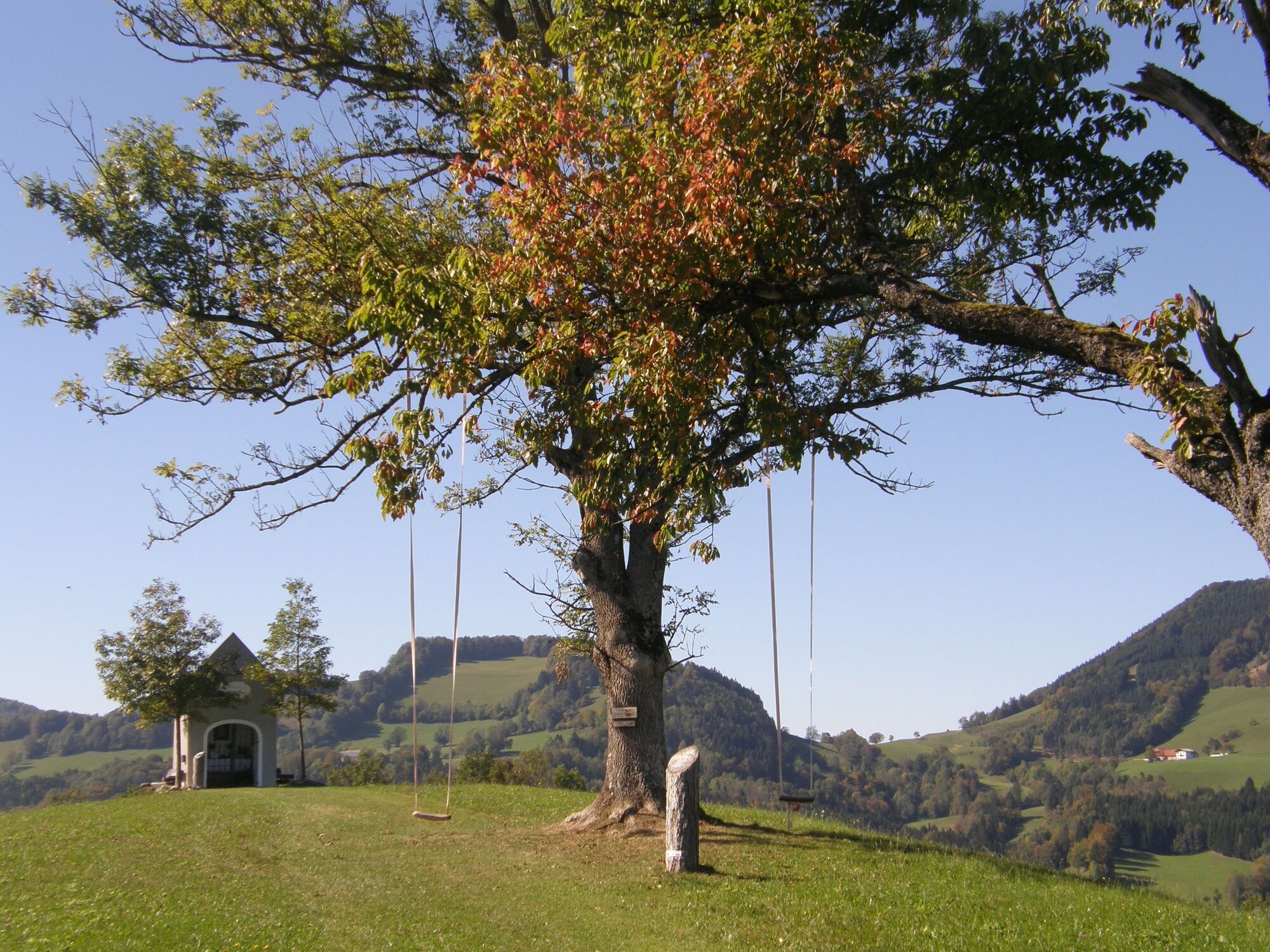
© Gemeinde Maria Neustift

© Gemeinde Maria Neustift - Ute Steininger

- Lyhyt kuvaus
-
Via Maria - Bavarian-Austrian Marian Way from Altötting to Mariazell
- Vaikeus
-
vaikea
- Arviointi
-
- Reitti
-
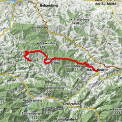
Pfarrkirche TernbergTernberg0,0 kmRabenstein0,7 kmTernberg7,1 kmRabenstein7,3 kmKoglerhof11,0 kmBrettmaisserhof11,5 kmJochberg (688 m)12,8 kmHetzerhöhe (677 m)13,7 kmSchönleitner-Höhe (699 m)14,0 kmLichtkreis Süd der Lichtstadt Steyr14,5 kmRumplhöhe15,6 kmUnterlaussa15,6 kmFriedenskapelle17,3 kmSonnberg17,5 kmSonnberg (777 m)17,6 kmWilleitenberg (837 m)19,4 kmSpadenberg (1.000 m)26,2 kmGeierkogel (886 m)28,9 kmGlasnerhütte31,3 kmMaria Neustift34,4 kmKirche Maria Neustift34,4 kmGasthaus Großbichler zur Roisentaverne34,5 km
- Paras kausi
-
tammihelmimaalishuhtitoukokesäheinäelosyyslokamarrasjoulu
- Korkein kohta
- 990 m
- Kohde
-
Maria Neustift
- Korkeusprofiili
-


- Kirjoittaja
-
Kiertue Via Maria - 12th day stage from Ternberg an der Enns to Maria Neustift käyttää outdooractive.com toimitettu.
GPS Downloads


Yleistä tietoa
Virvokepysäkki
Kulttuuri/Historiallinen
Lupaava
Lisää retkiä alueilla
-
Traunviertel
1940
-
Steyr und die Nationalpark Region
1371
-
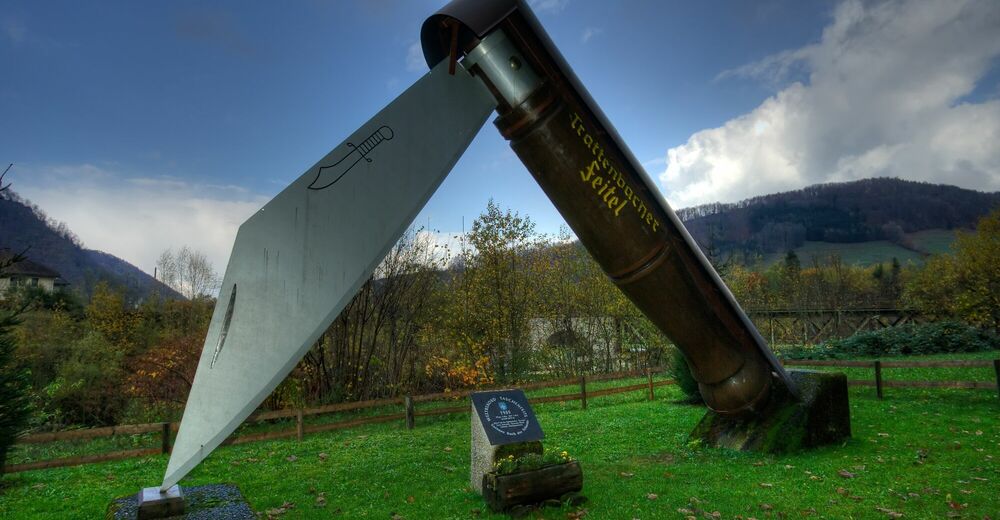
Laussa
349