© brainpark.traunsee

© Martin Trautwein

© brainpark.traunsee

© Karl Heinz Ruber

- Lyhyt kuvaus
-
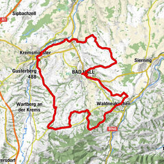
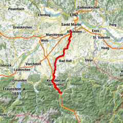
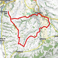
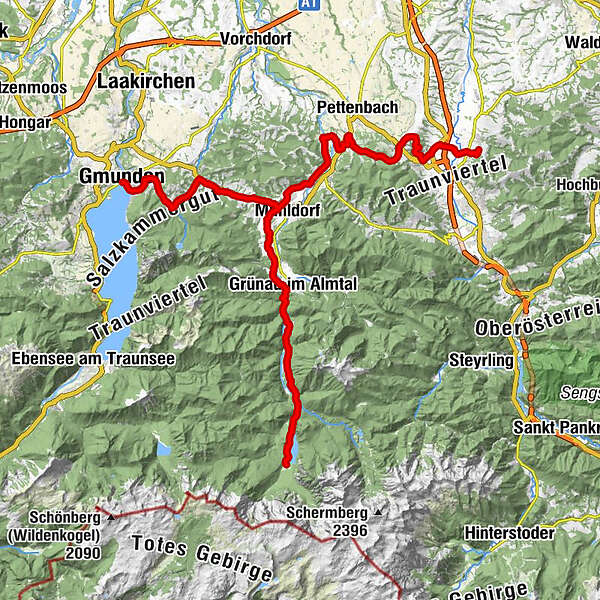
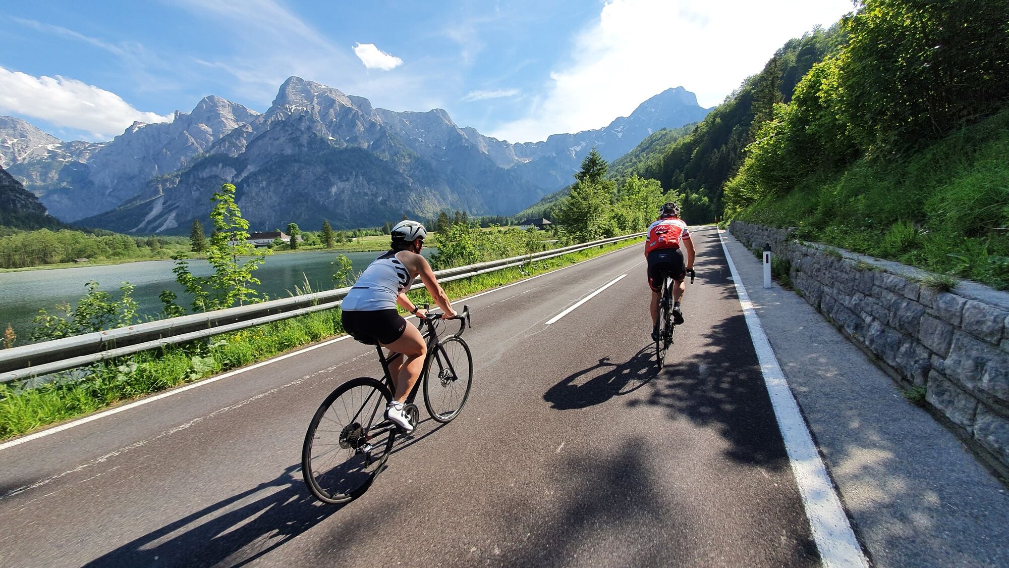
E-bike pleasure tour in 7 daily stages with approx. 460 km and approx. 5,000 m ascentThe route is well marked, mostly on state cycle paths along rivers and waterways from the Steyrtal via the Kremstal and the Almtal to Gmunden, on at the transition to the Alpine foothills to Bad Hall, via Wolfern and Steyr into the Ennstal and over the Reichraminger Hintergebirge to the Pyhrn-Priel region and back to Steyr.
- Vaikeus
-
tapa
- Arviointi
-
- Reitti
-
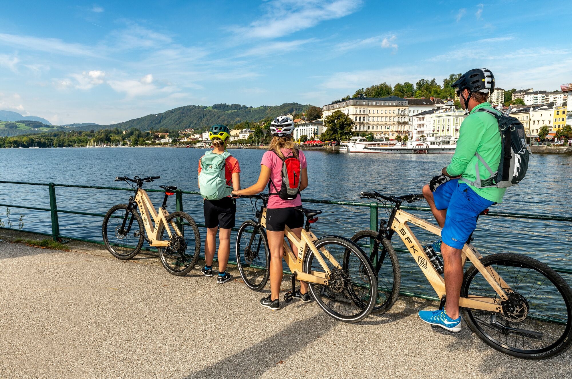
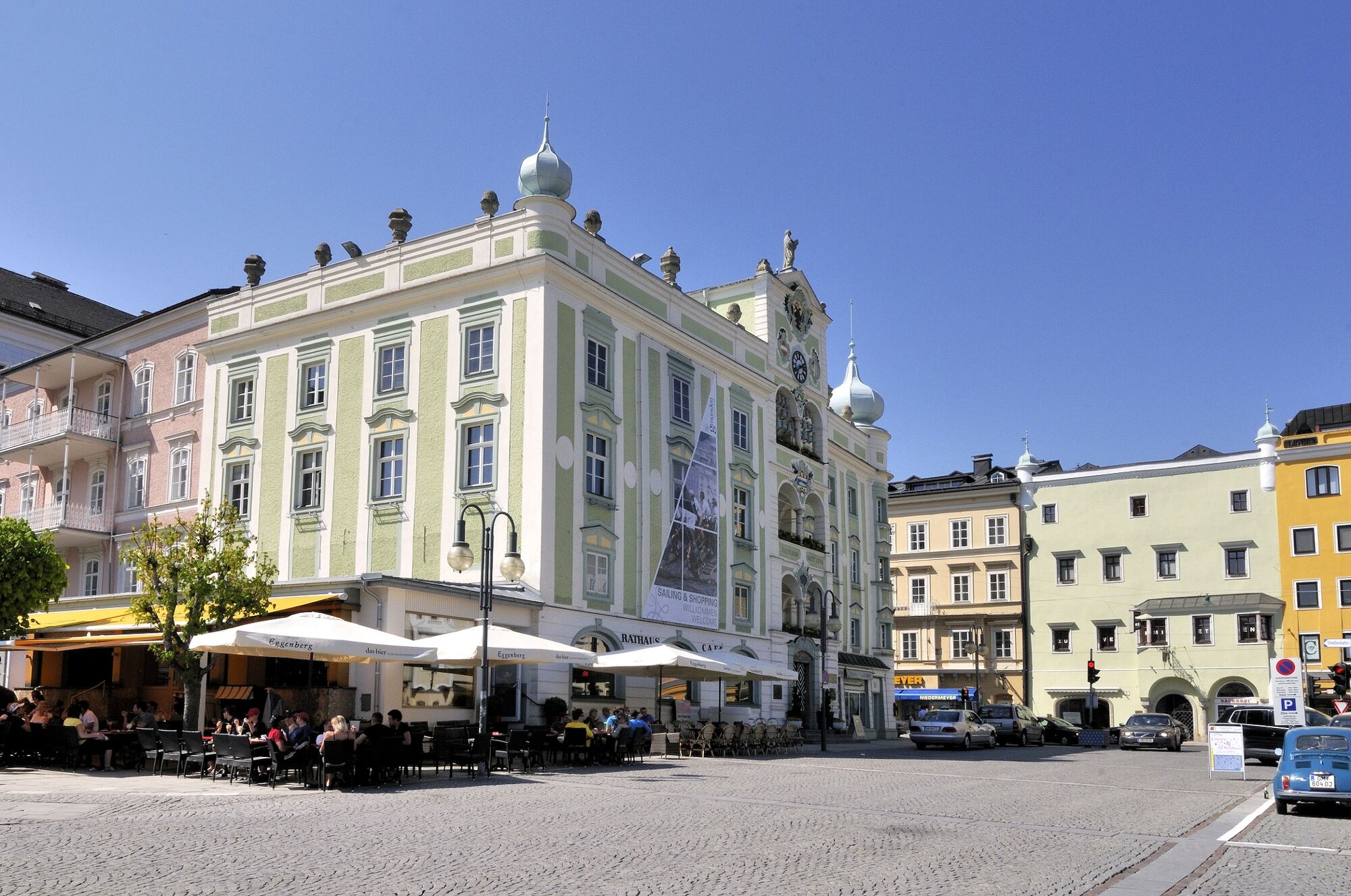
Schlierbach0,0 kmHolzofenpizzeria San Marco0,1 kmGasthaus und Fleischerei Schröcker0,2 kmHeiligenleiten14,6 kmBierhotel Ranklleiten15,8 kmKirche Viechtwang22,3 kmViechtwang22,3 kmGasthaus z'Mayrhof25,5 kmMaria am Wege26,0 kmGrünau im Almtal31,9 kmAlmtalhof31,9 kmHabernau40,9 kmAussichtspunkt47,1 kmWasserfall47,4 kmHabernau50,8 kmAlmtalhof59,8 kmGrünau im Almtal59,8 kmMaria am Wege65,9 kmGasthaus z'Mayrhof66,4 kmThann67,7 kmSchobermühle68,3 kmImbiss-Stube St. Konrad70,0 kmSankt Konrad71,6 kmEdt72,0 kmSteg73,1 kmKranichsteg73,4 kmUntermühlweg74,1 kmGasthaus Franz´l im Holz76,8 kmWasserstuben78,4 kmHauskapelle ohne Namen80,2 kmKapuzinerkirche81,9 kmKlosterkirche der Karmelitinnen82,1 kmGmunden (425 m)82,2 km
- Paras kausi
-
tammihelmimaalishuhtitoukokesäheinäelosyyslokamarrasjoulu
- Korkein kohta
- 654 m
- Kohde
-
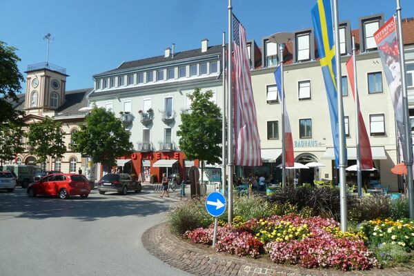
Gmunden
- Korkeusprofiili
-

- Kirjoittaja
-
Kiertue Traunviertel Tour - Stage 2 käyttää outdooractive.com toimitettu.