© Unbekannt - Andreas Röbl
© Unbekannt - Erwin Haiden
© Unbekannt - Weißenbrunner

- Lyhyt kuvaus
-
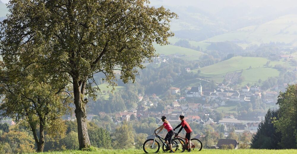
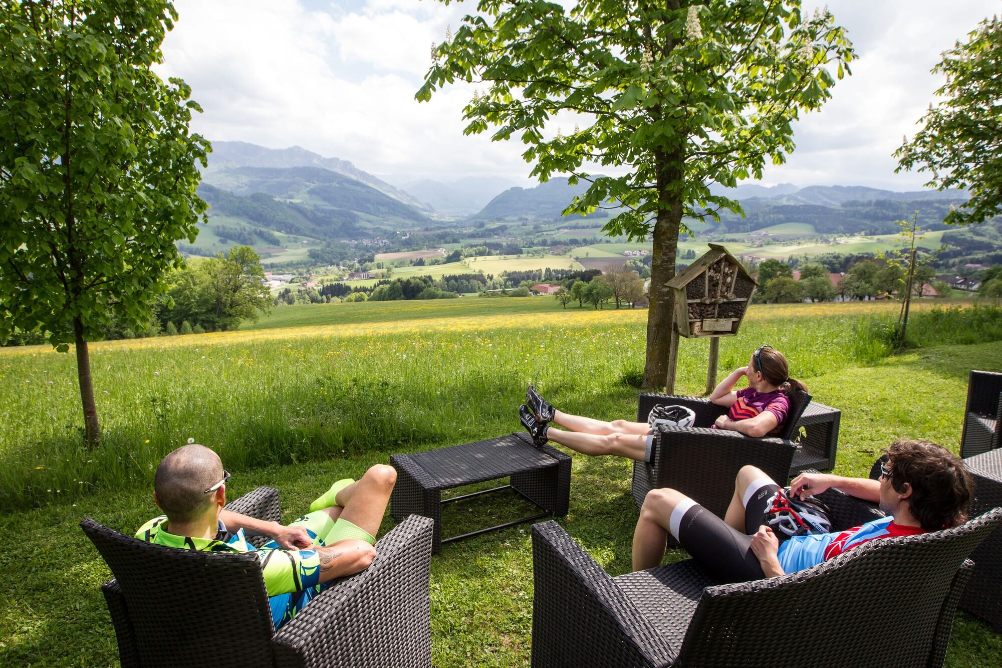
The Steyr is a real mountain river - but we stay in the foothills of the Alps and look at the valley from a reasonable distance.
- Vaikeus
-
helppo
- Arviointi
-
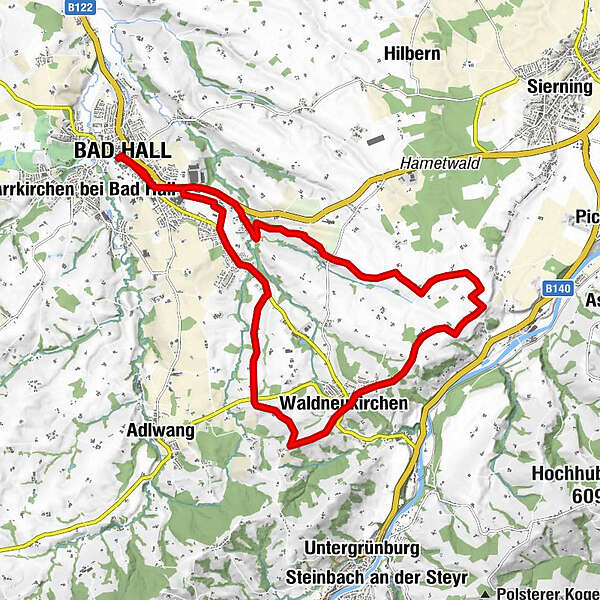
- Reitti
-
Bad Hall0,1 kmWaldneukirchen7,9 kmDorftaverne8,1 kmKapelle8,4 kmKapelle8,8 kmHaus des Gebetes14,2 kmSteingrub17,0 kmBad Hall19,4 km
- Paras kausi
-
tammihelmimaalishuhtitoukokesäheinäelosyyslokamarrasjoulu
- Korkein kohta
- 466 m
- Kohde
-
Bad Hall, Eduard-Bach-Straße (Forum Hall)
- Korkeusprofiili
-

-

-
KirjoittajaKiertue Cycling tour Steyr Valley view käyttää outdooractive.com toimitettu.